
Sendero Barrilitos - Bosque la Primavera
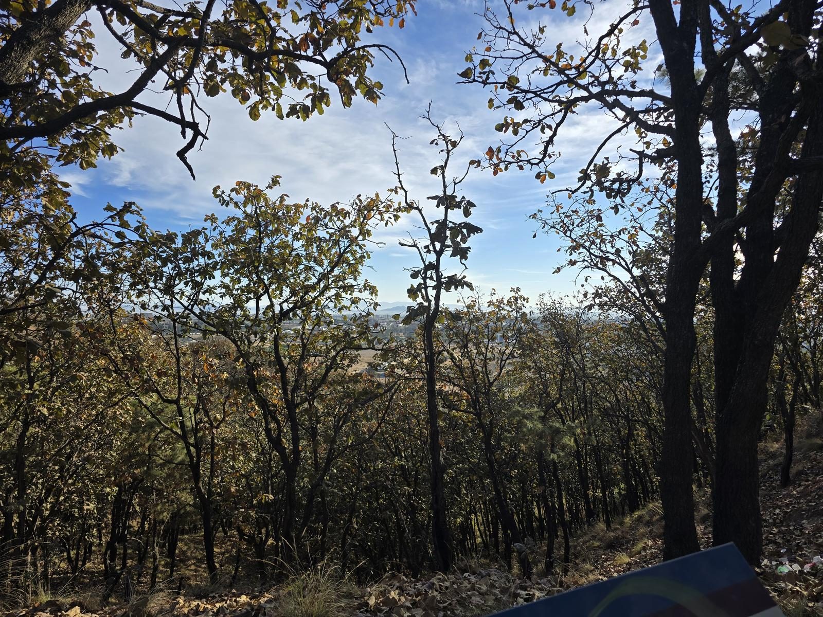
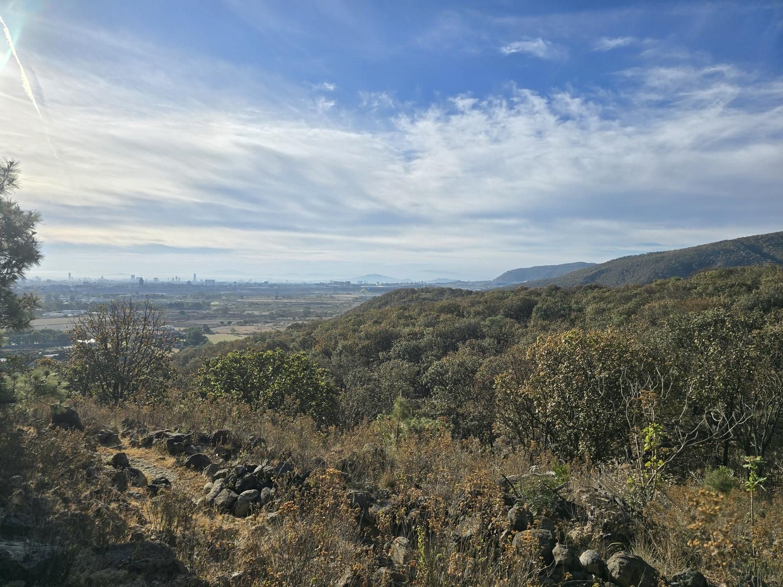
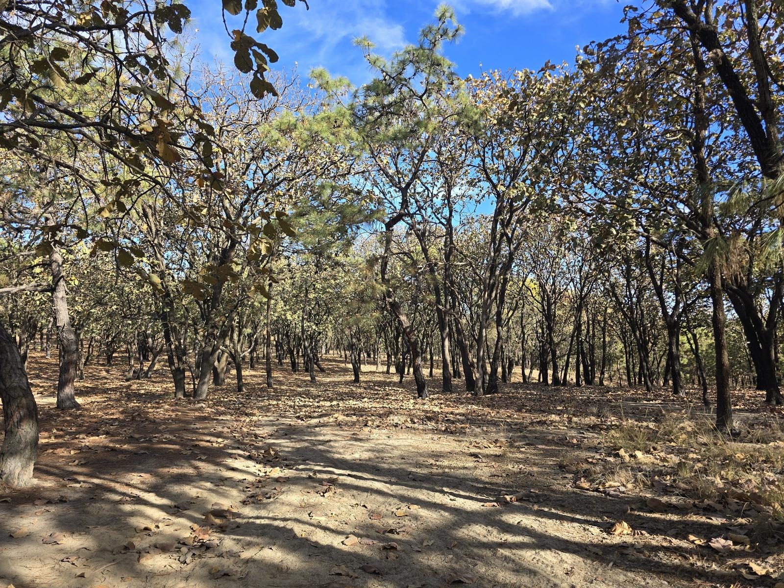
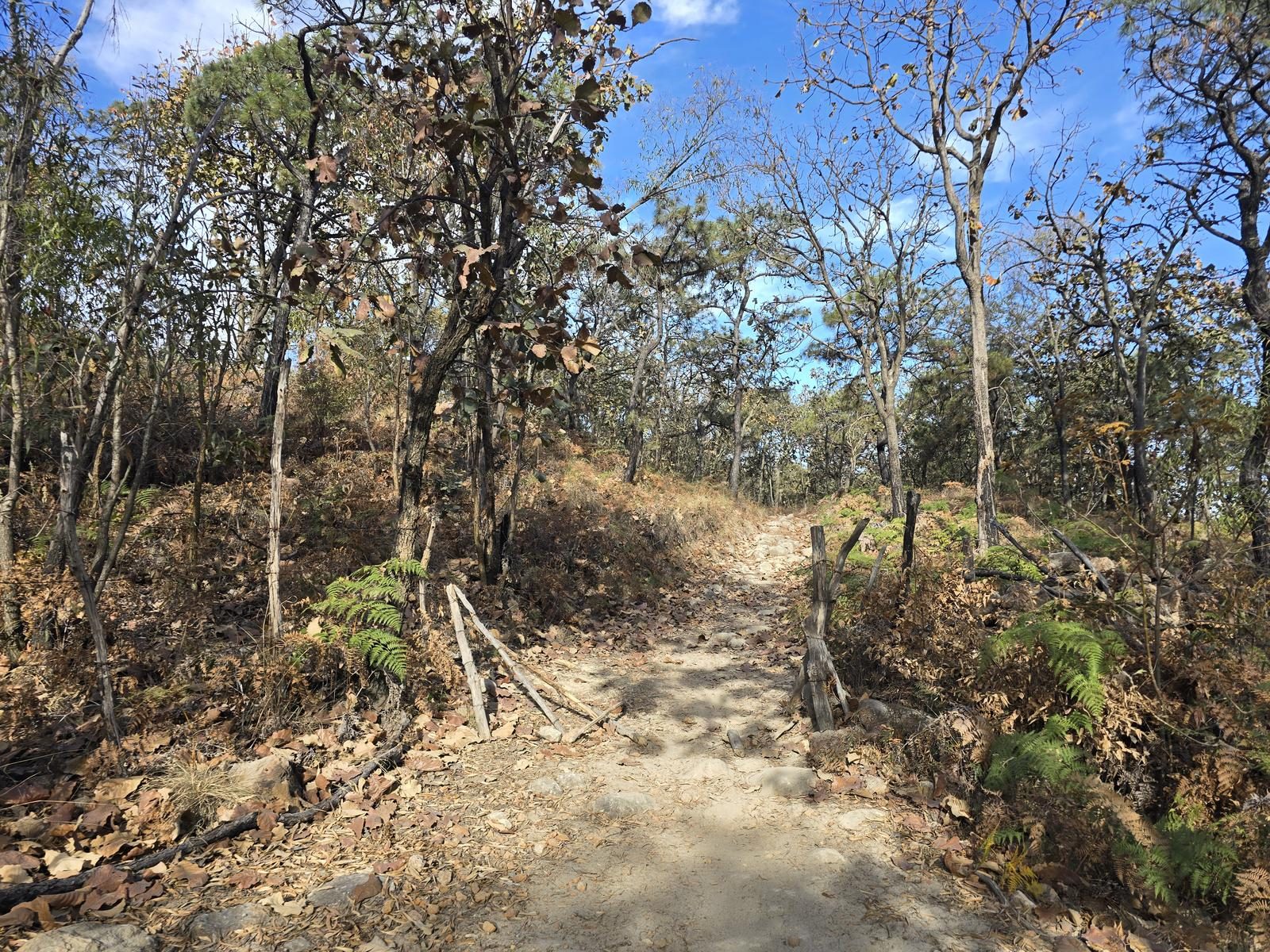
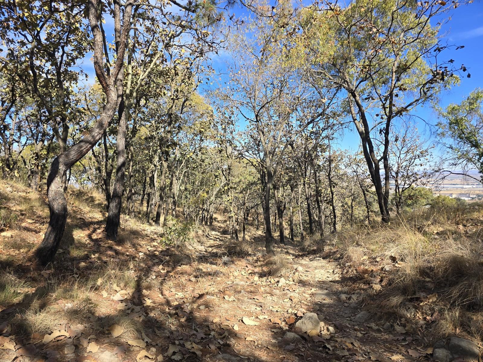
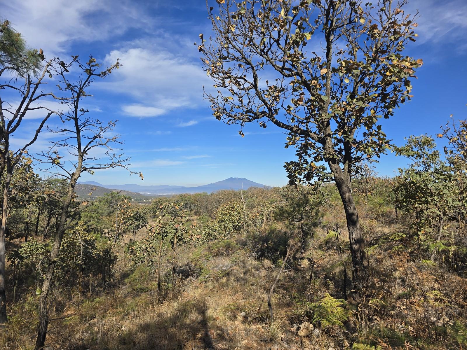
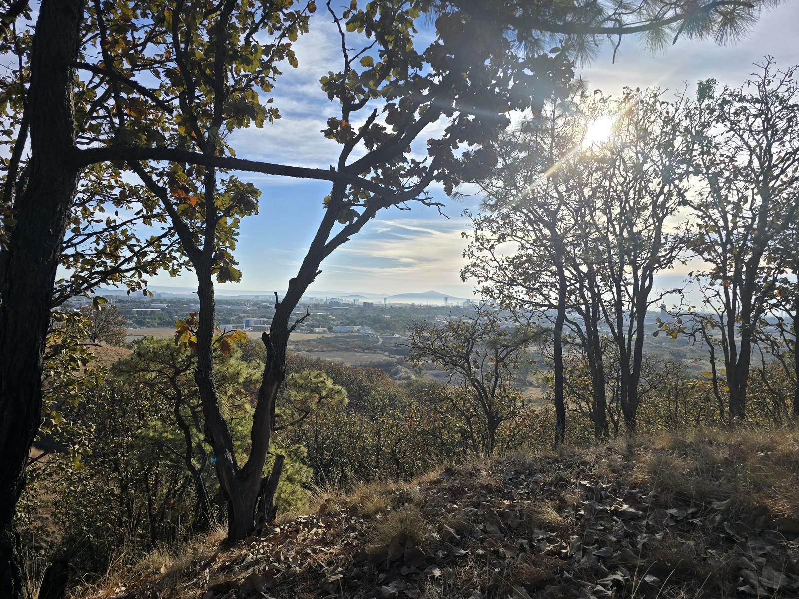
Sendero Barrilitos - Bosque la Primavera
Área de Protección de Flora y Fauna La Primavera, Zapopan
362 m
16.13 km
4 h 11 m
1882 msnm
The Barrilitos loop: 16 signposted kilometres shared by Zapopan and the Bosque la Primavera ejidos. Horses and bikes use it too, so leave the headphones at home.
📢 Alerts & Updates
This route can be done comfortably in any season of the year.
Level
i
Packing List
How to get there
Trailhead Access
Departing from downtown Guadalajara, take the road to Vallarta. After passing the Peripheral and the Central Bus Station, take the first return. Turn right on the first street, heading to the Instituto Tecnológico Superior de Jalisco (Zapoppan). The start of the route is 300 m after the entrance to the Technological Institute.
Parking Information
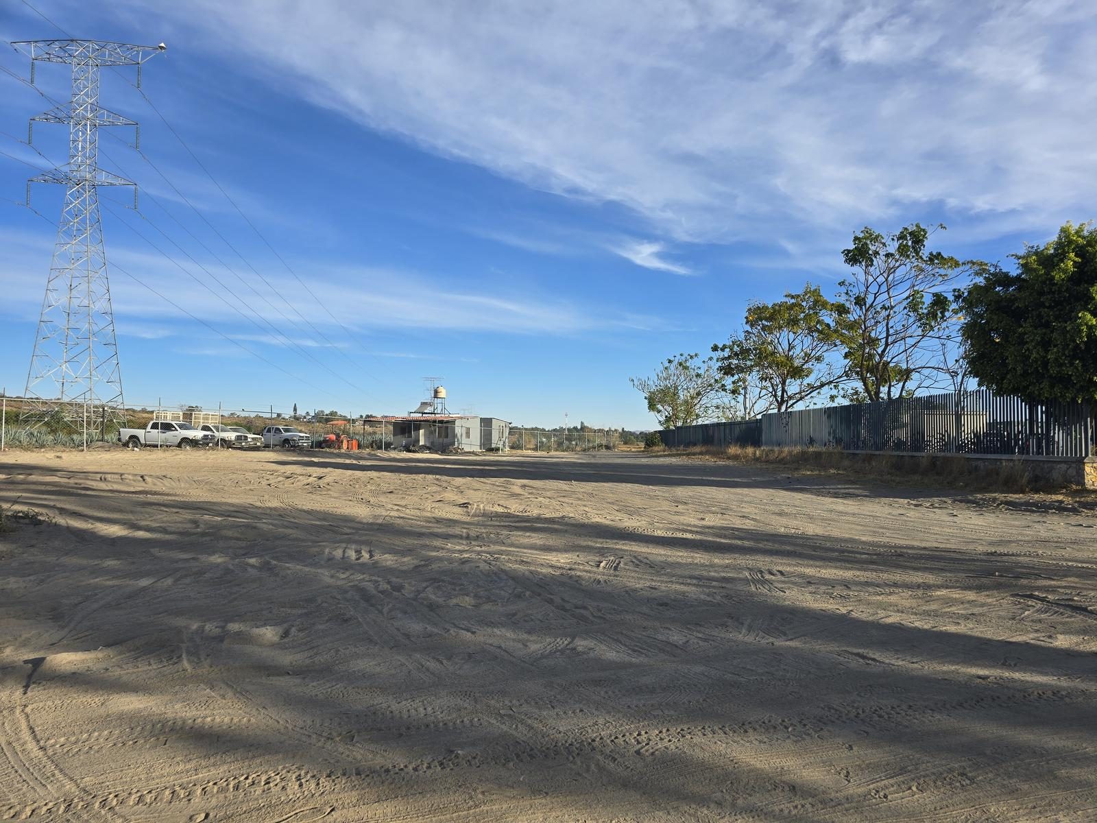
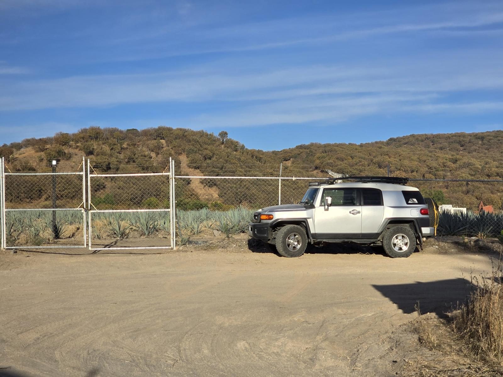
There is a large area to leave cars at the beginning of the route, without obstructing access or roads. This area is made of uncompacted sand, avoid getting too close to the banks so as not to stagnate the vehicle.
Fees & Park Hours
As of March 31, 2025, this route does not involve access costs.
Trail Overview
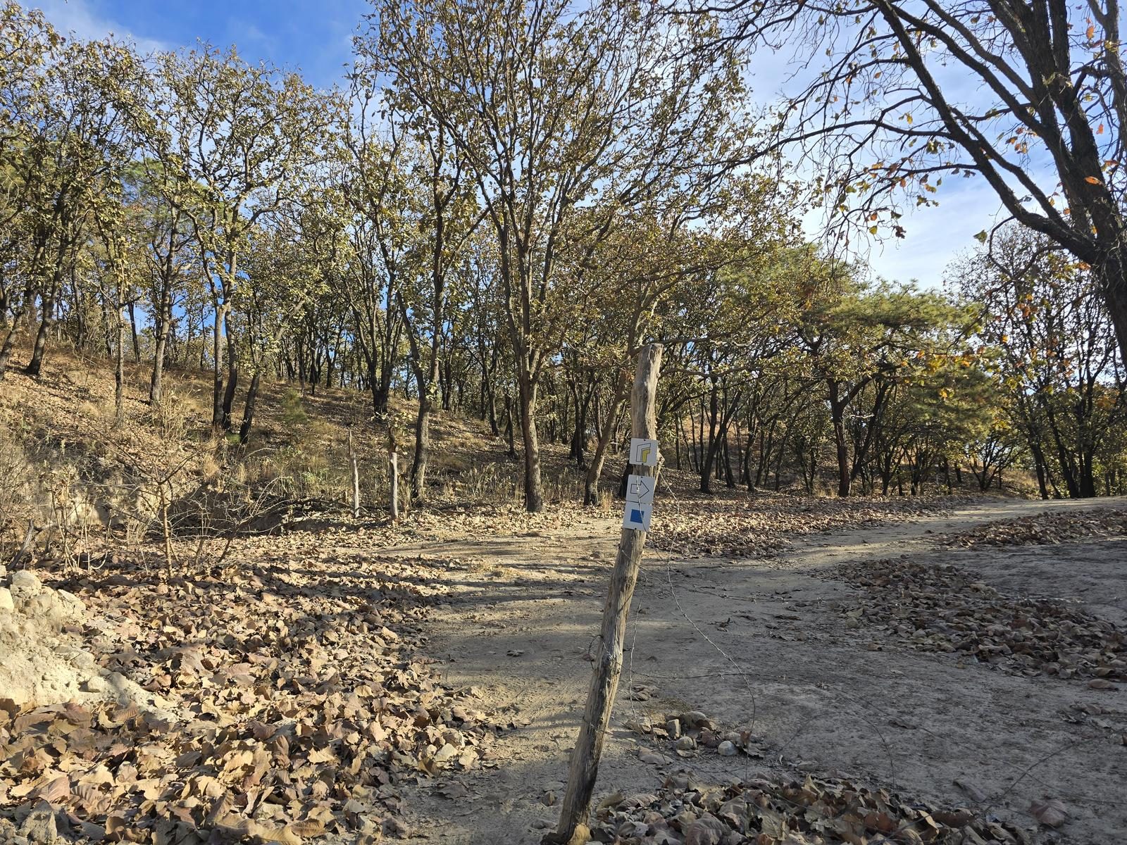
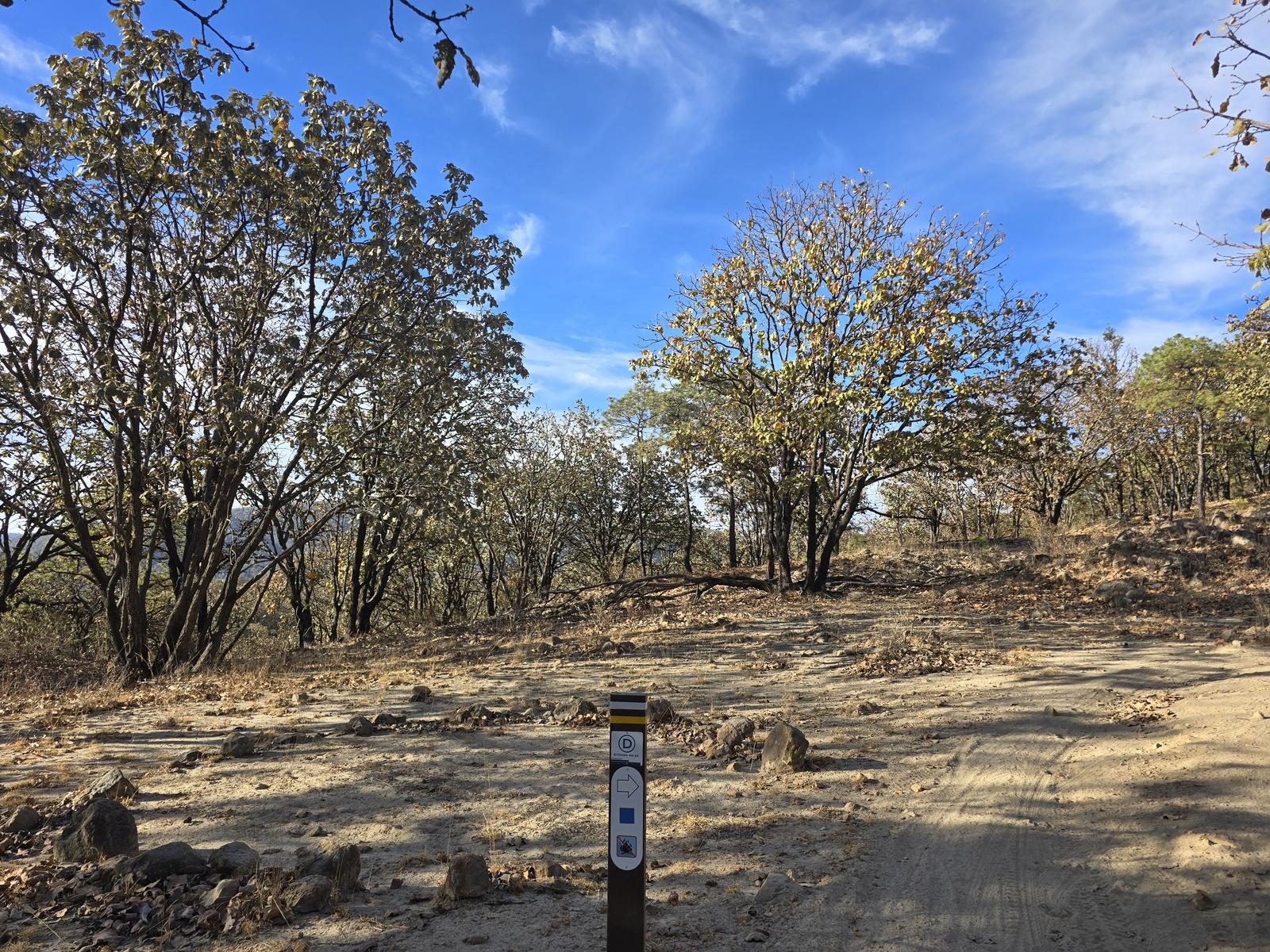
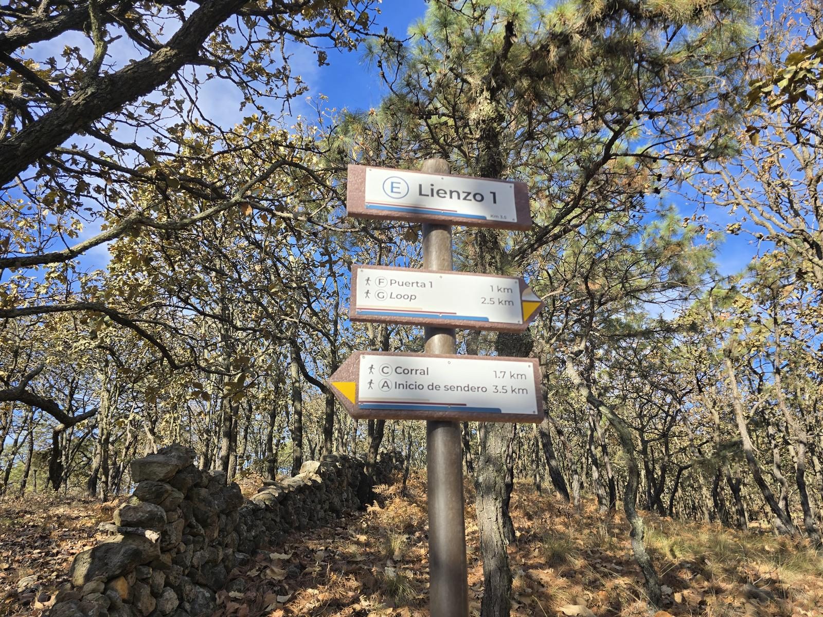
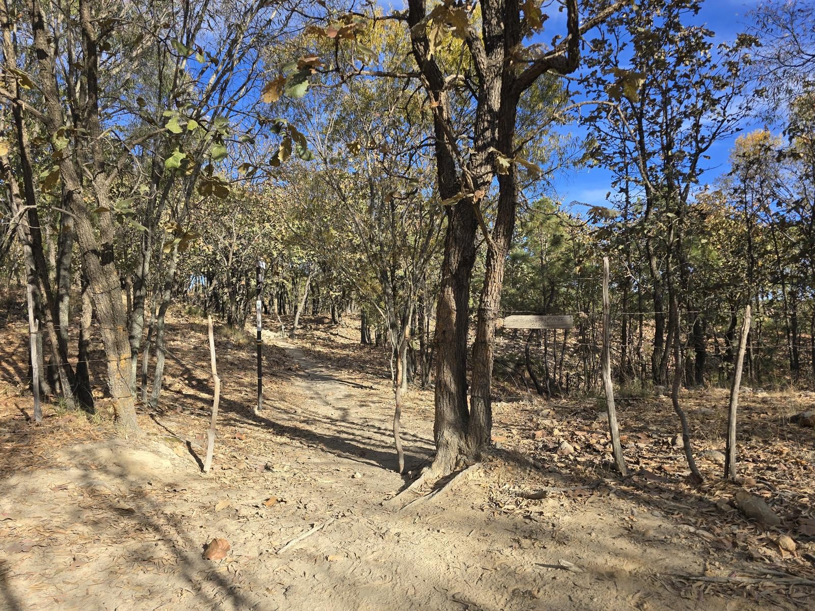
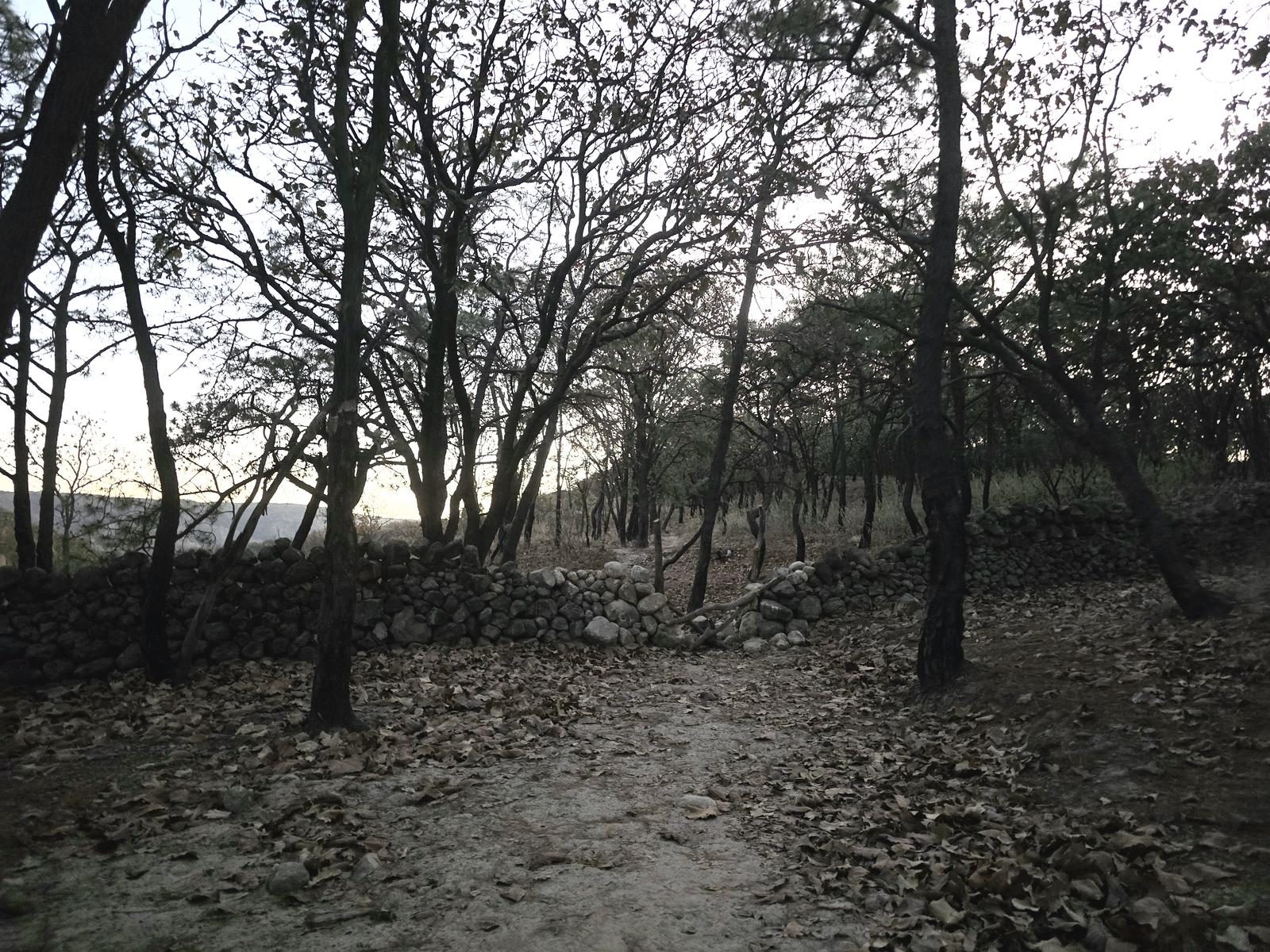
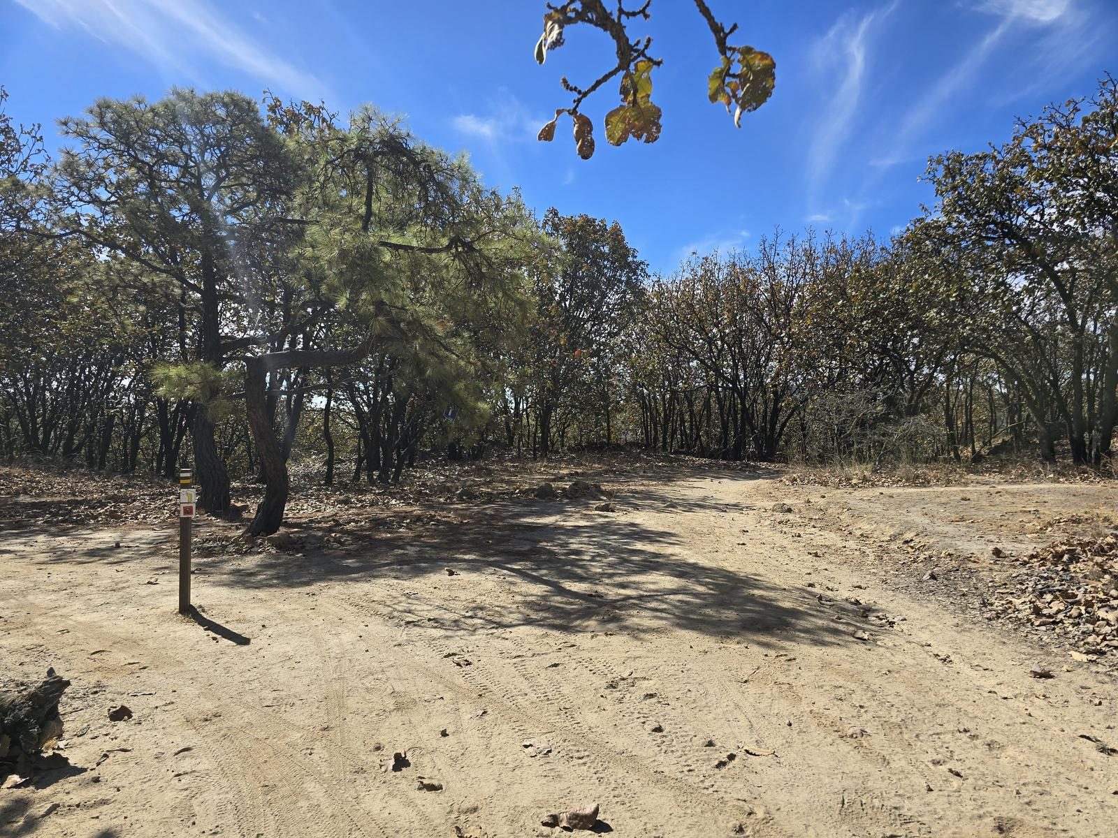
Excellent. It is a multidisciplinary trail ideal for horseback riding, mountain biking and hiking, so it is very busy and easy to identify. In addition, a large investment was recently made in marking the entire route, although the last three segments (loop, door 2, canvas 2) were vandalized. However, there is a cellular signal all along the route, so we can rely on Wikiloc.
Recommended Gear
- Hiking sticks - Hands free lamp (mining type) - External battery (PowerBank) - Sunscreen - First Aid Kit or First Aid Kit - Thermal blanket
Elevation Gain
362 m
Total Distance (Out & back)
16.13 km
Total Time
4 h 11 m
Max Elevation
1882 msnm
During this route we will accumulate between 400 and 450 m of positive elevation gain, so it is classified as level 3 (scale from 1 to 10). It is a route that crosses the “Mesa la Lobera” hill transversely, so that the slope accumulates up and down small slopes. It covers just over 16 km in total.