
Sendero el Caracol - Sierra de San Juan Cosalá

Sendero el Caracol - Sierra de San Juan Cosalá
Sierra de San Juan Cosalá, Jocotepec
639 m
5.03 km
2 h 10 m
2444 msnm
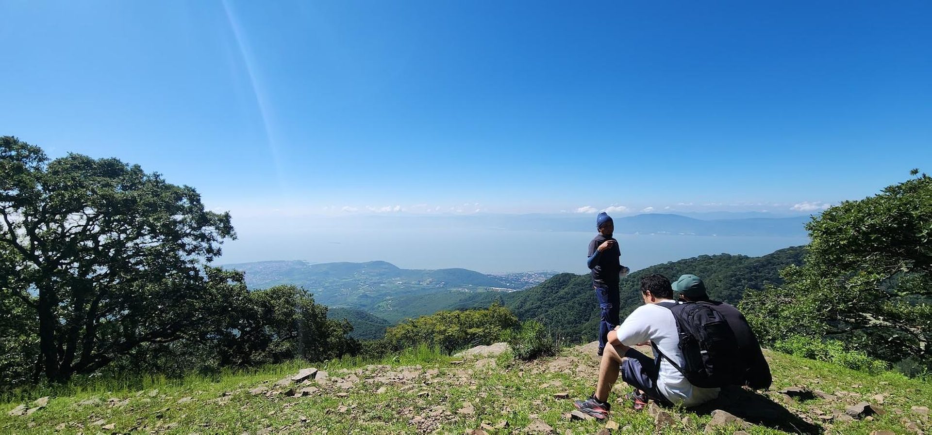
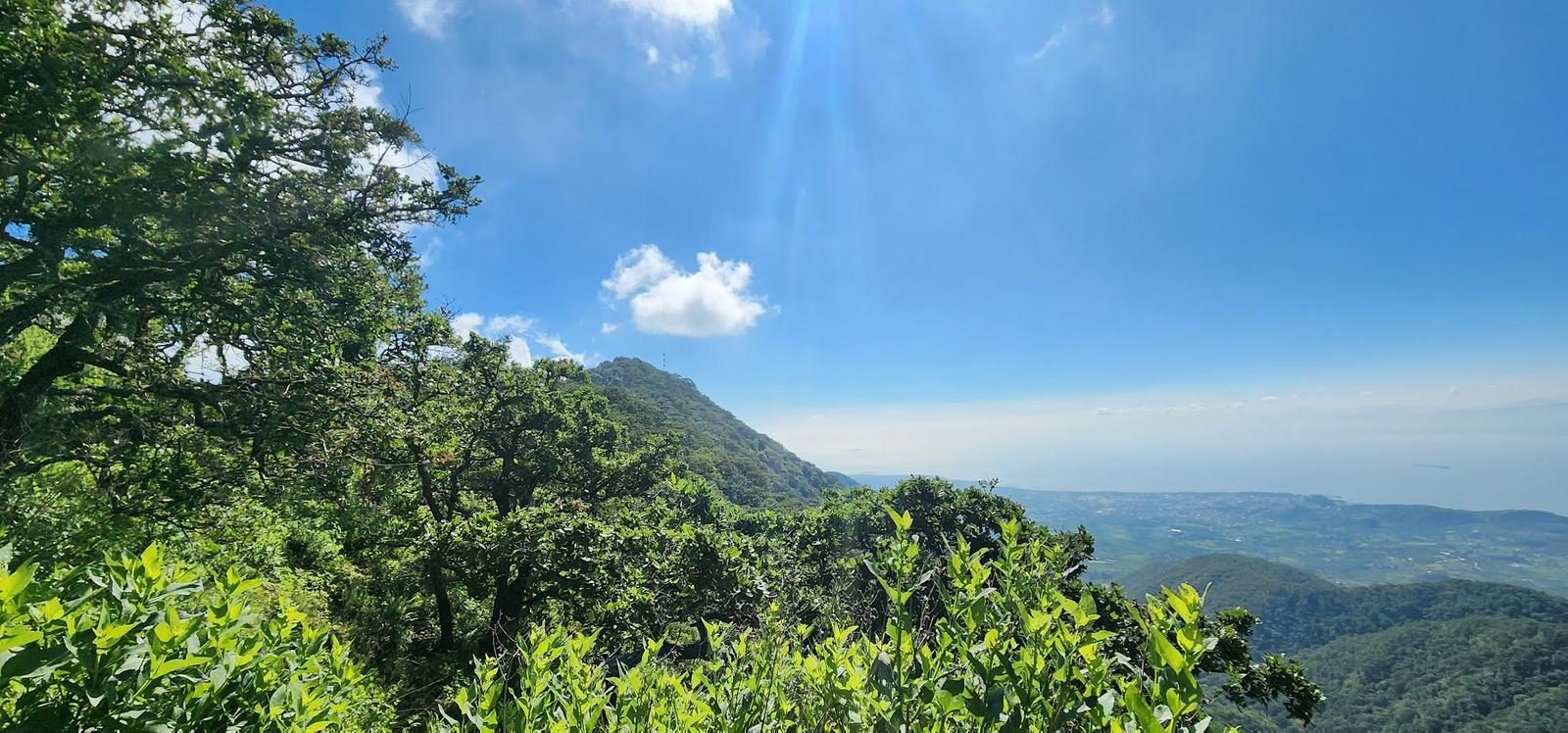
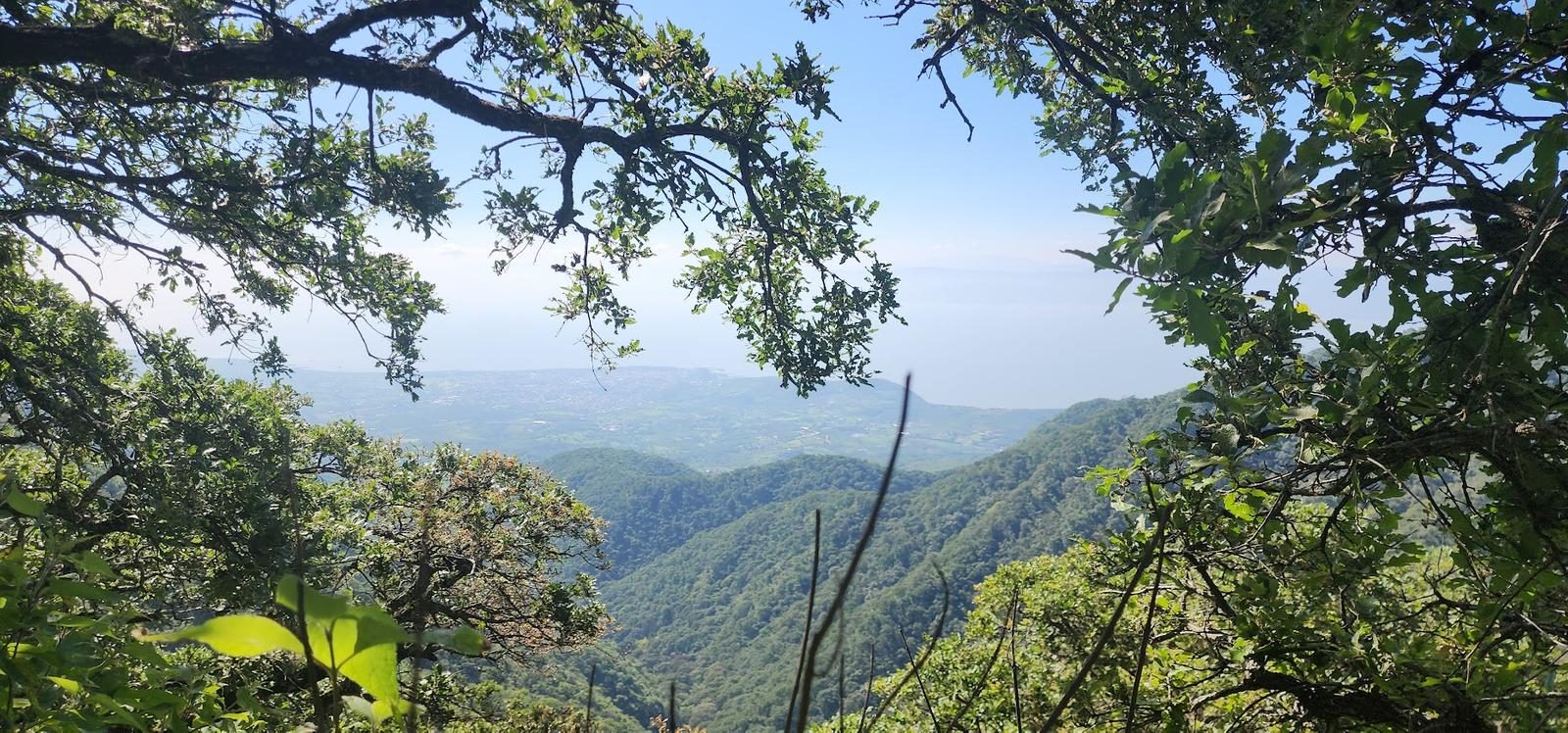
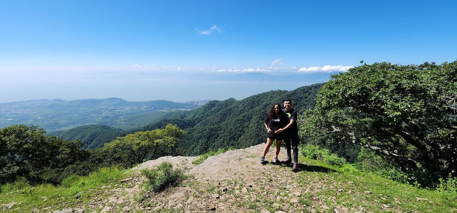
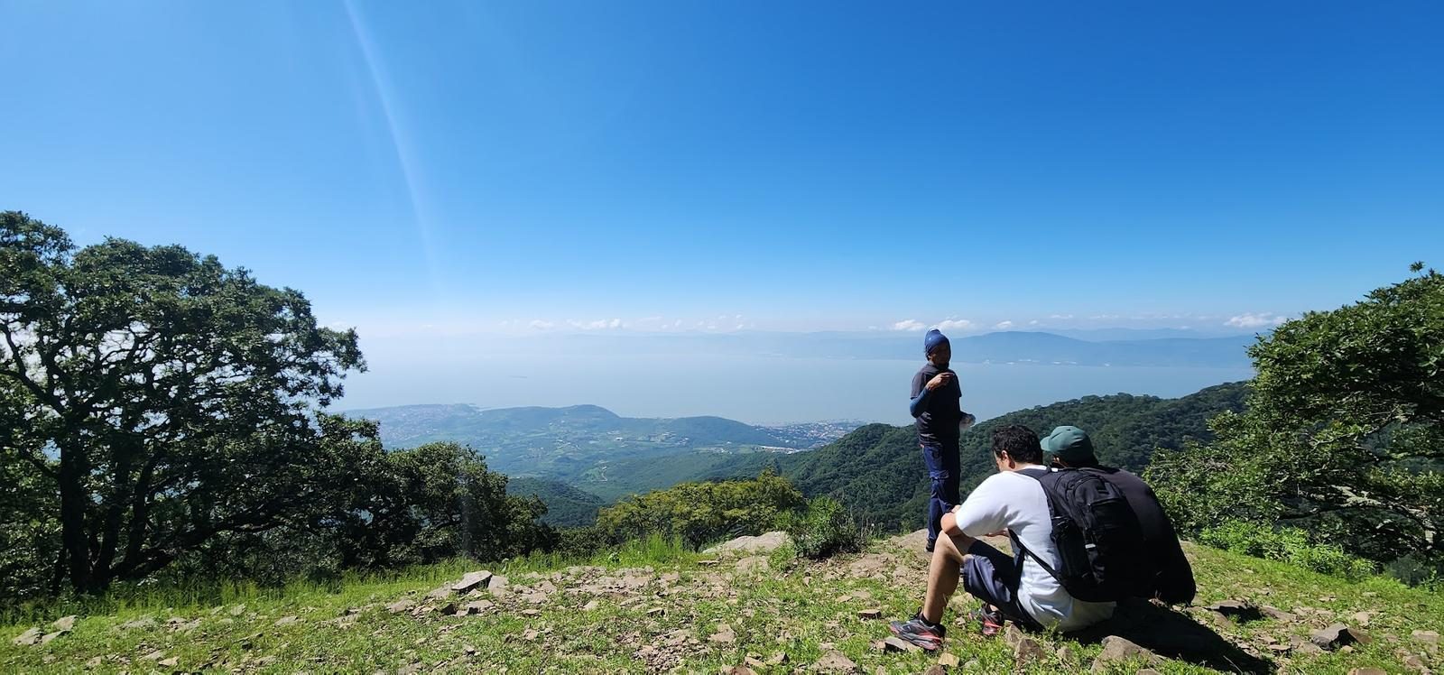
Five kilometres and 639 m of gain to Mesa del Ocote, with Lake Chapala — Mexico's largest — always in frame. You can camp up there; no campfires.
📢 Alerts & Updates
This route can be done comfortably in any season of the year.
Level
i
Packing List
How to get there
Trailhead Access
Leaving from Guadalajara, take the road to Chapala. After Ixtlahuacán, but before reaching the lake, we turn at a junction that leads to Ajijic (Jocotepec-Chapala Highway). 3 km later, we will enter a compacted dirt road, just in front of the Tecnológico Superior de Chapala. From here it is 2.7 km of dirt road that will take us to the beginning of the route; there are some alternatives to arrive by dirt road, but in my opinion, this is the friendliest dirt road.
Parking Information
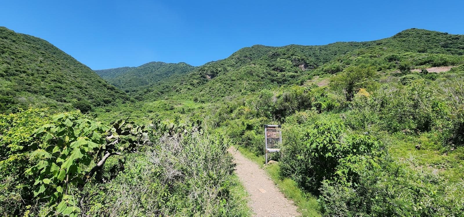
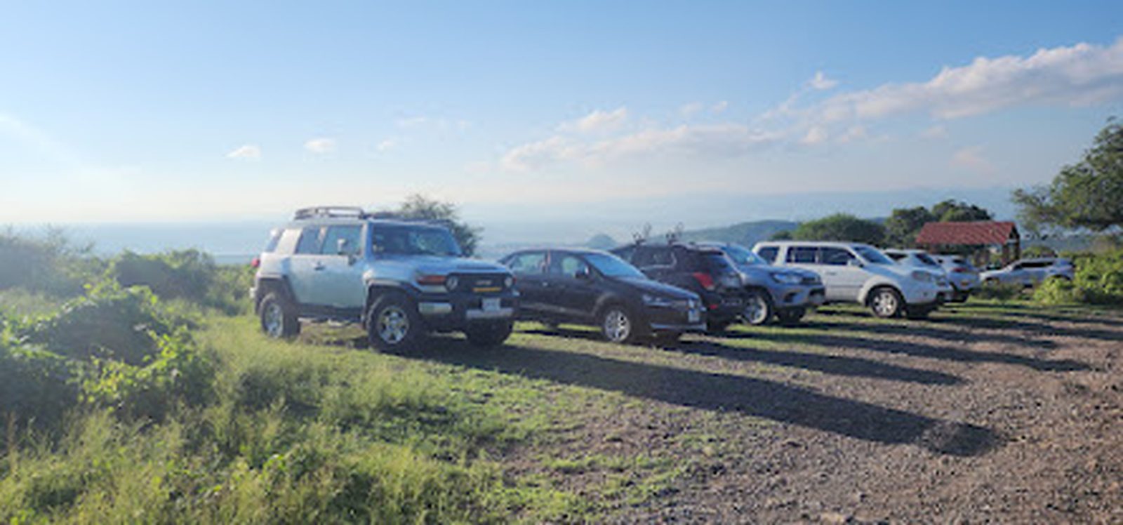
At the beginning of the route there is a fairly large area for parking vehicles.
Fees & Park Hours
April 2026: This route does not involve access costs.
Trail Overview
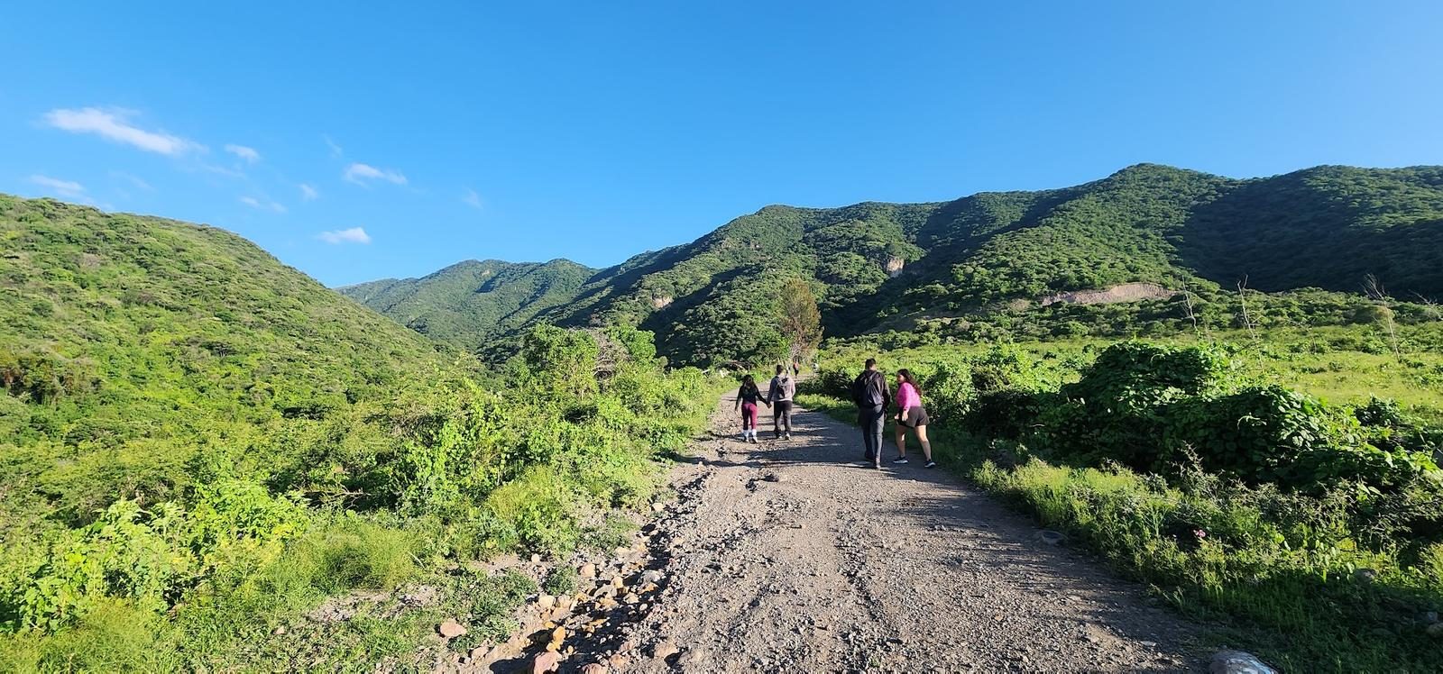
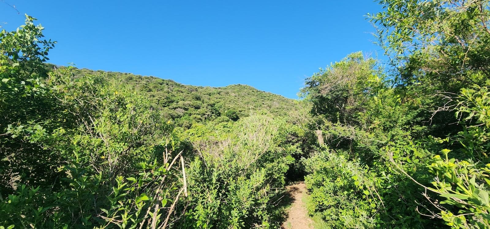
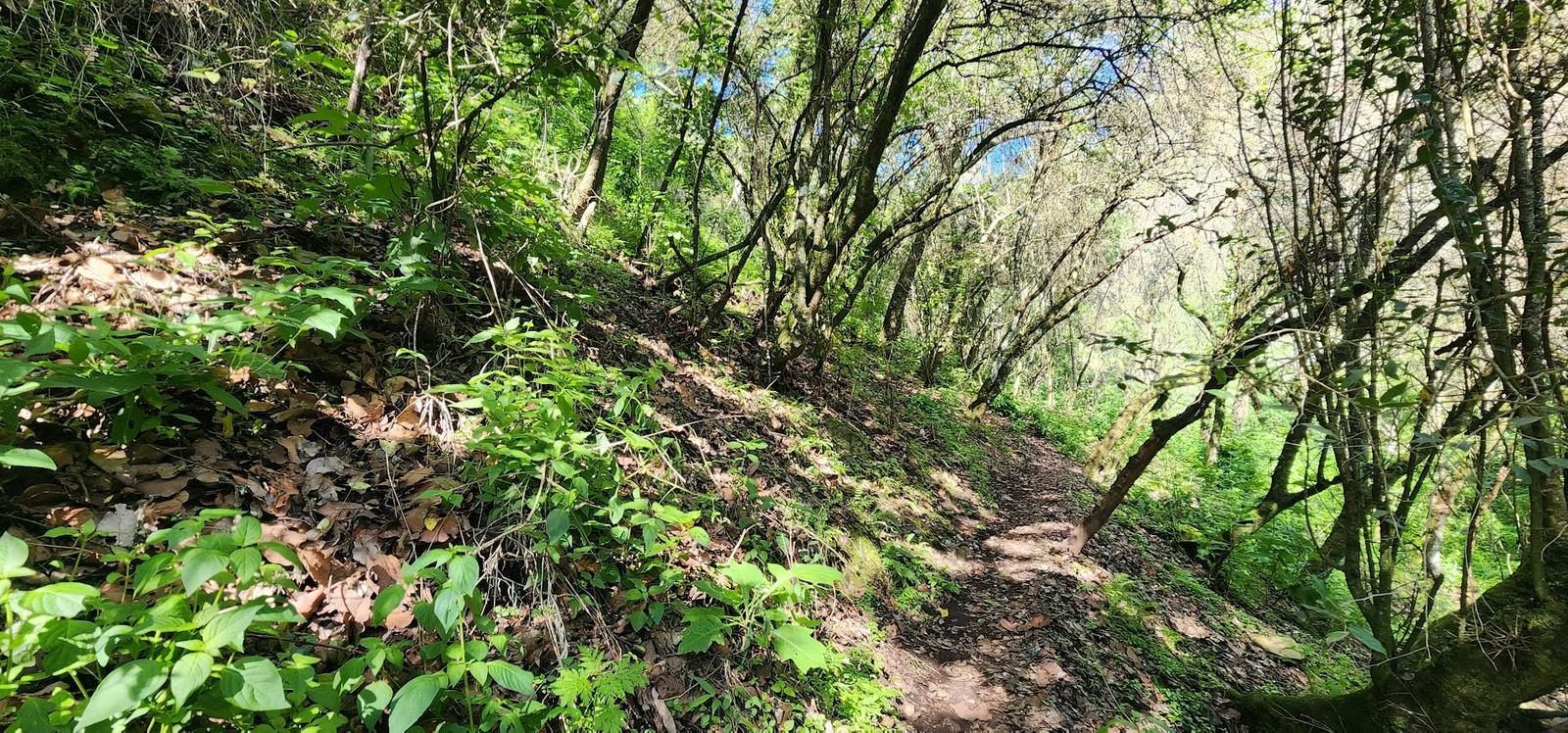
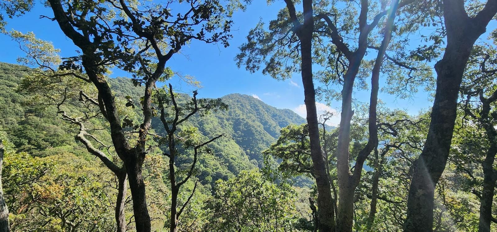
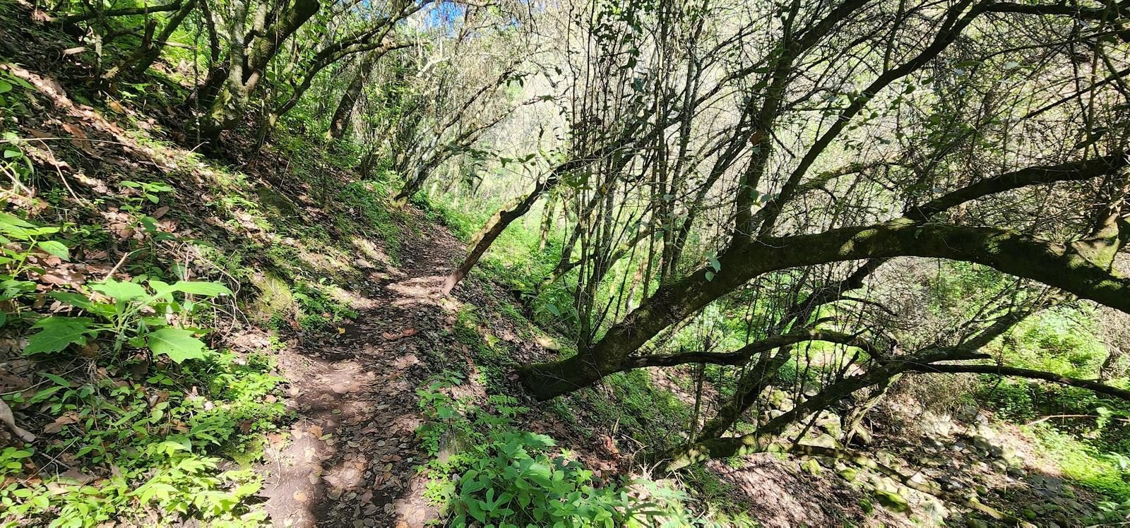
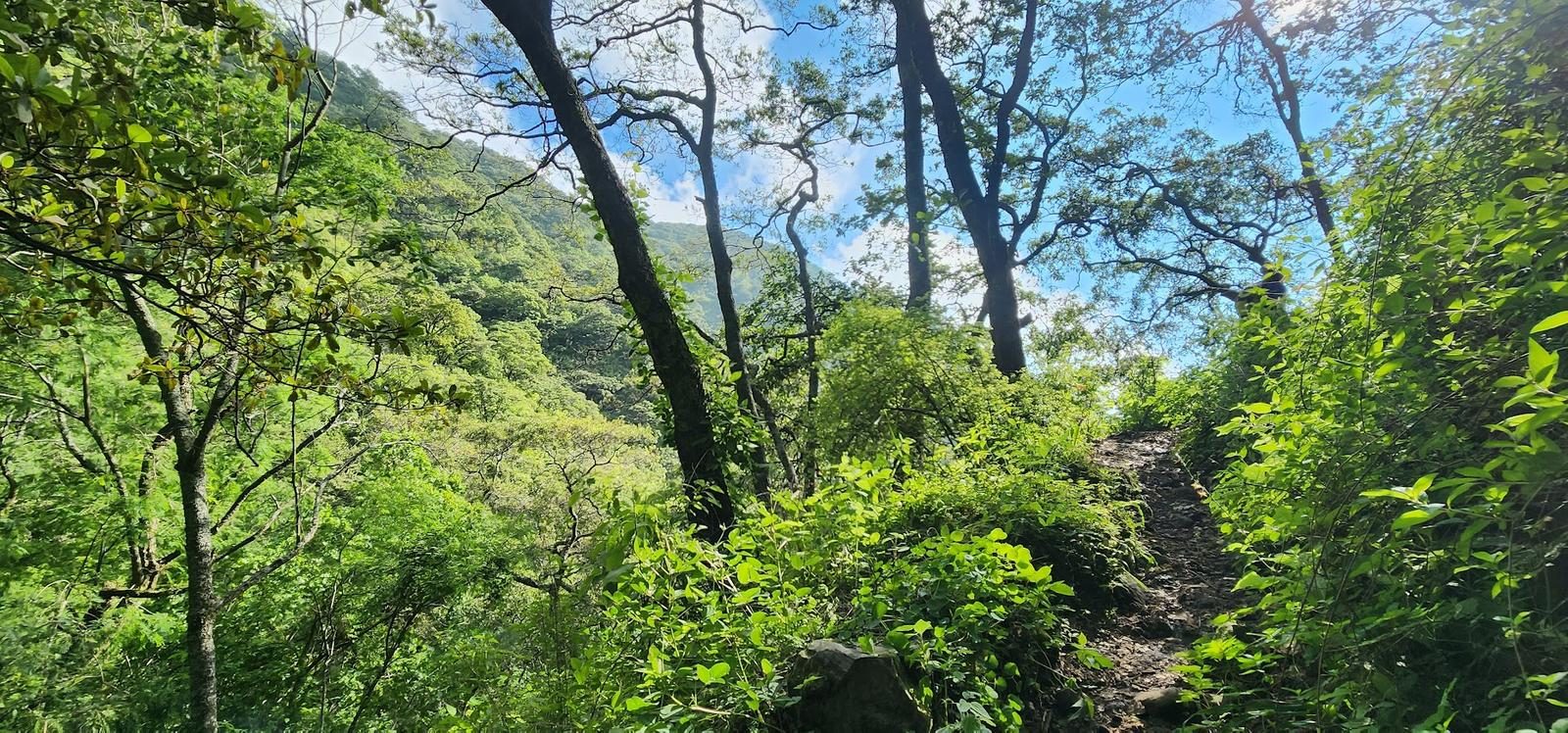
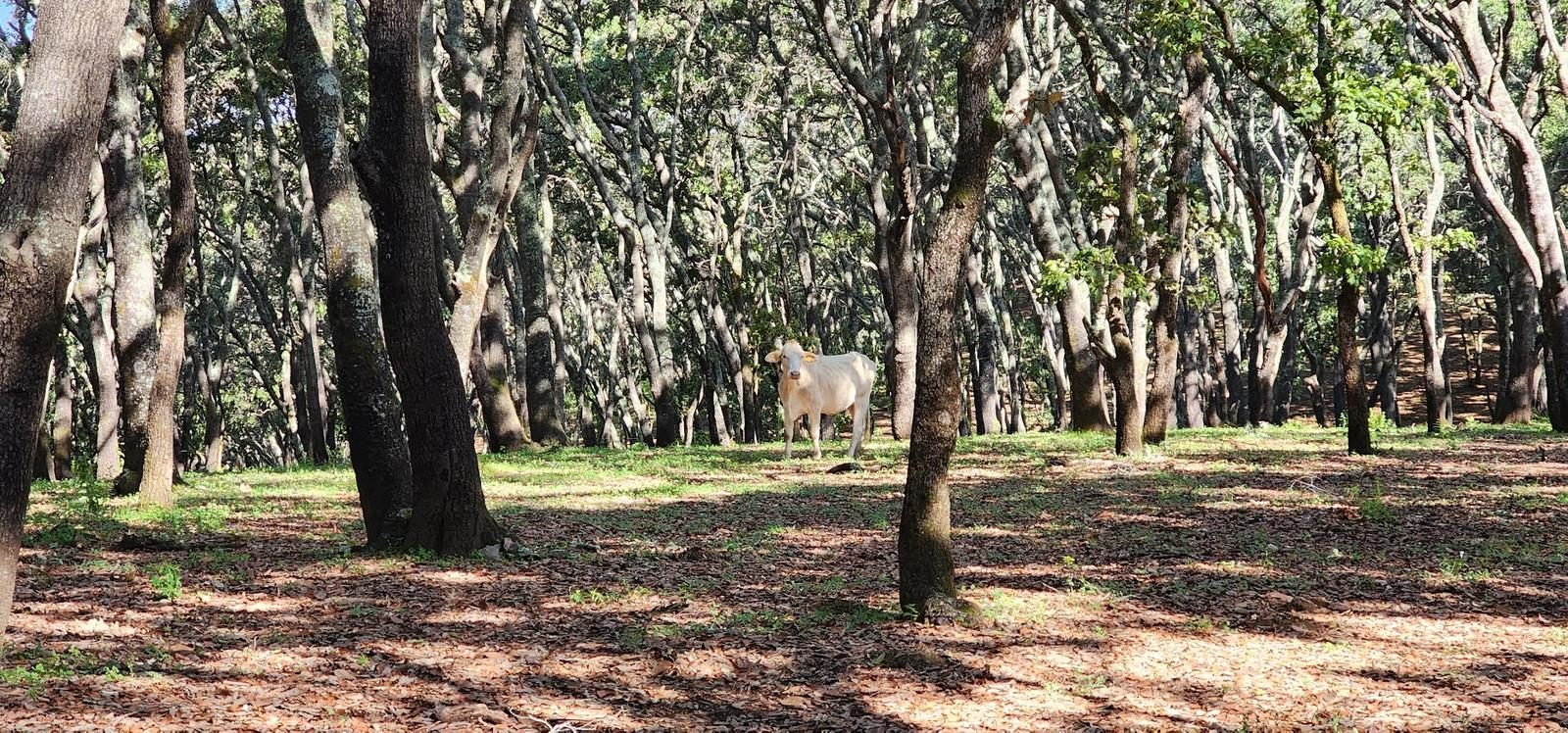
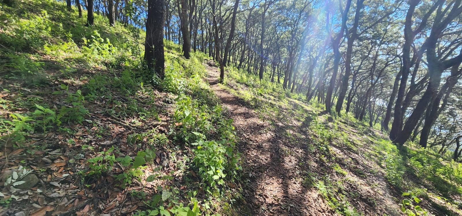
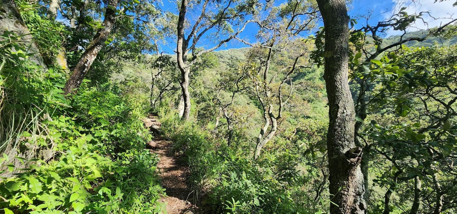
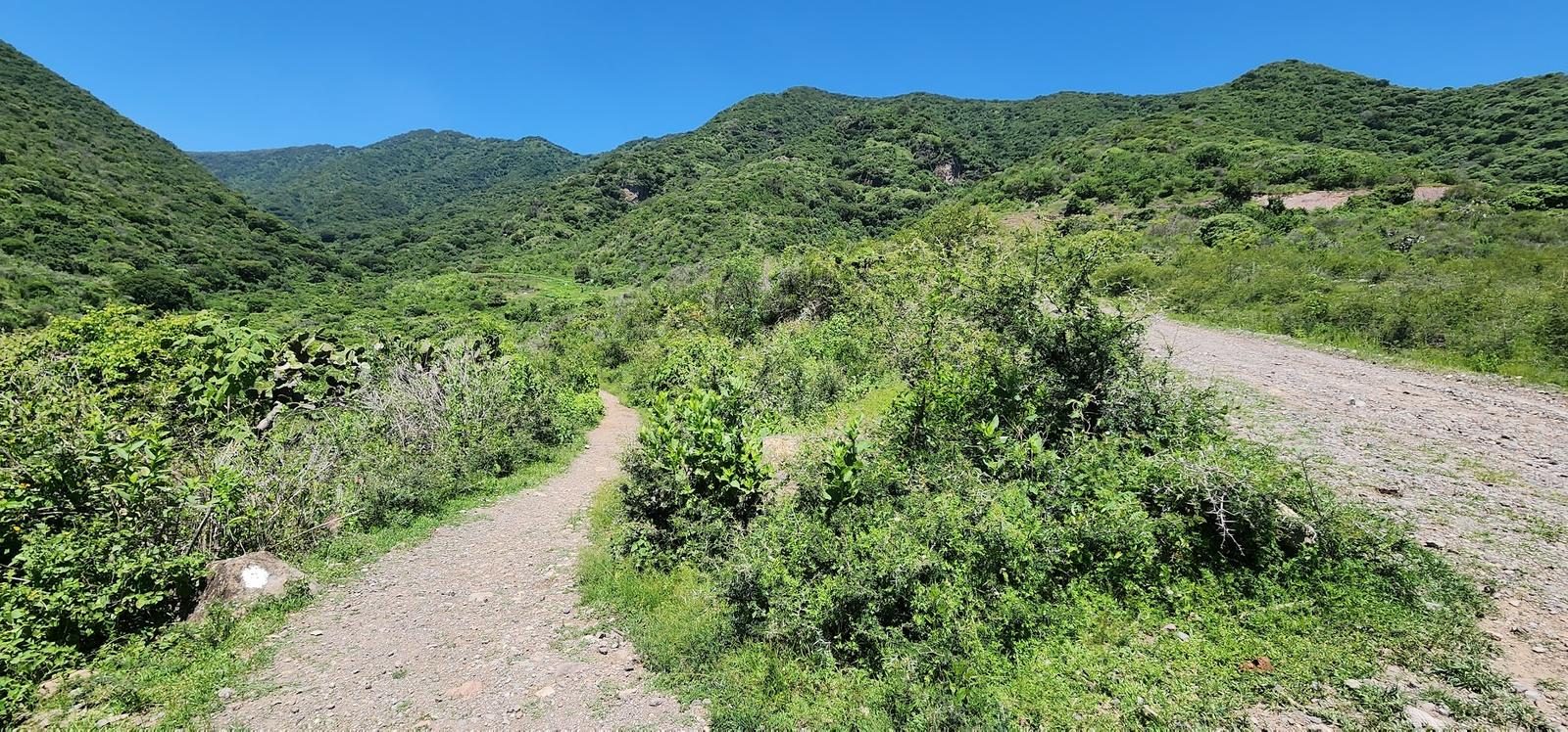
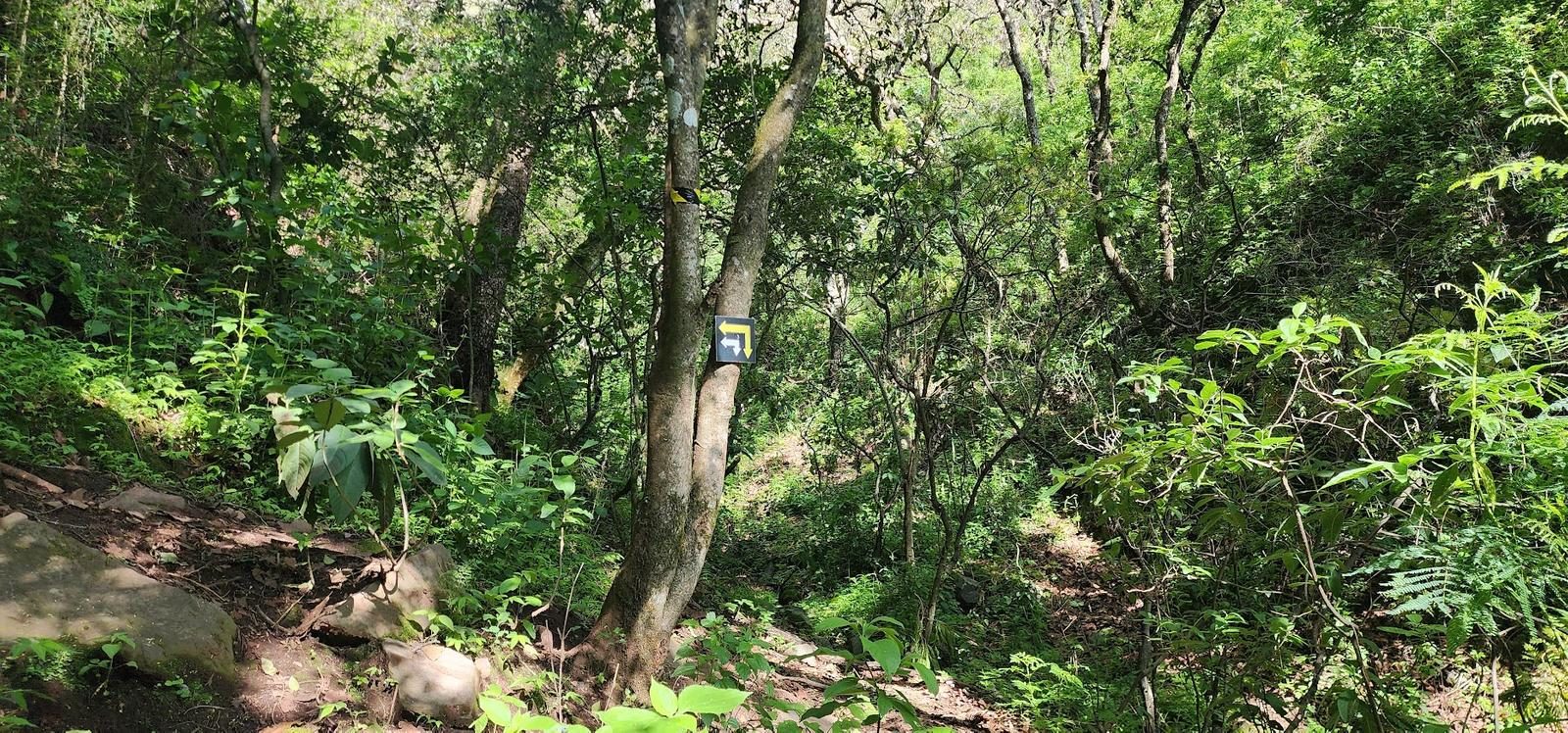
It can be said that 85% of the route is clearly defined. The remaining 15% is in an oak forest (Mesa del Ocote) and, at times, the trace could be lost due to leaf litter... Despite this, it is very intuitive. In the first section of the route we can find signs on stones and trees.
Recommended Gear
- Hands free lamp (mining type) - Hiking sticks - Thermal blanket - External battery (PowerBank) - Sunscreen - Insect repellent - First Aid Kit or First Aid Kit
Elevation Gain
639 m
Total Distance (Out & back)
5.03 km
Total Time
2 h 10 m
Max Elevation
2444 msnm
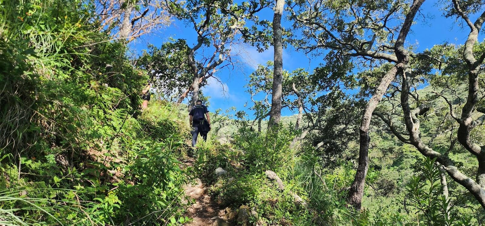
Level 4 (scale from 1 to 10). This route is right between levels 3 and 4 of our difficulty scale. It offers us approximately 600 m of positive elevation gain (what we have to climb on the hill).