
Sendero el Diente - Zapopan, JAL
Sendero el Diente - Zapopan, JAL
Jalisco, Zapopan
334 m
7.32 km
2 h 11 m
1691 msnm
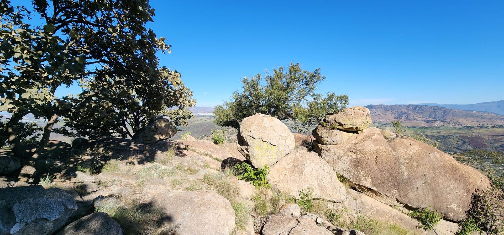
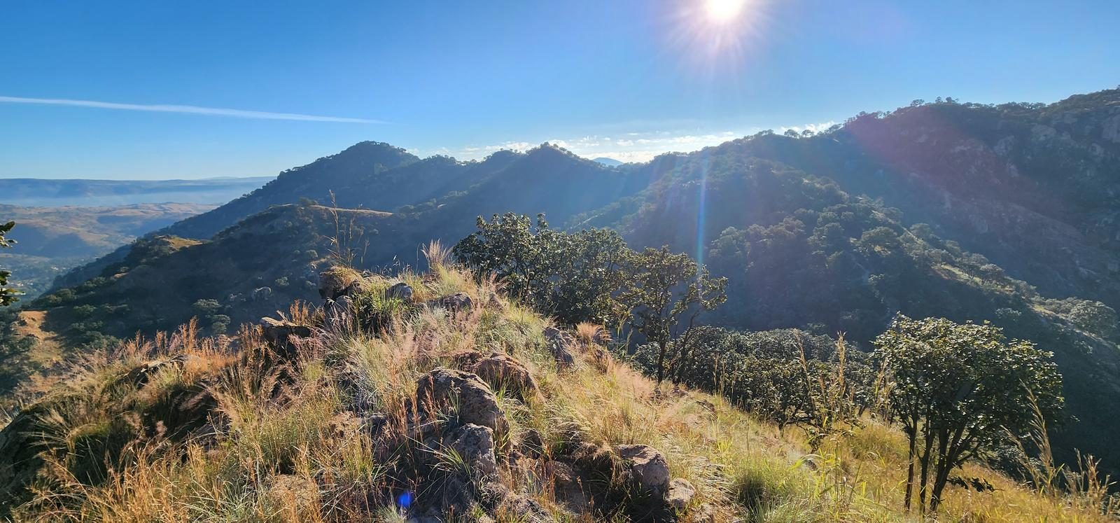
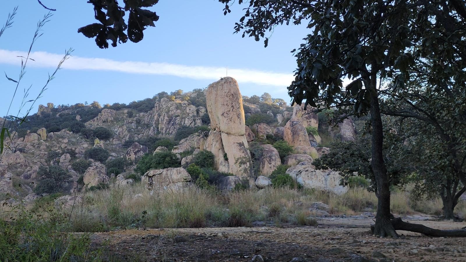
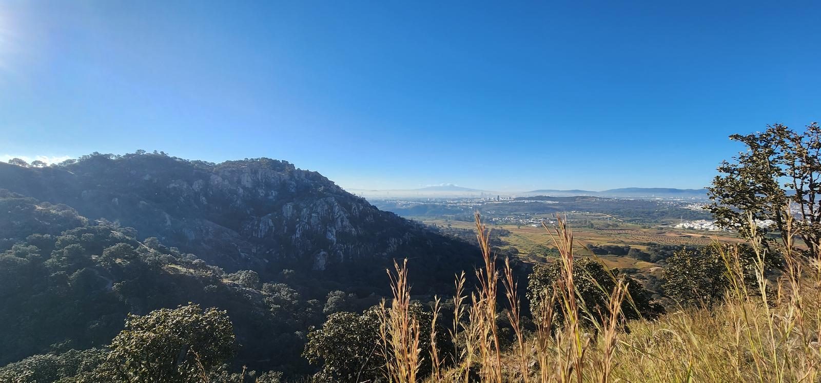
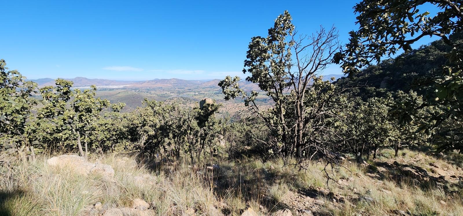
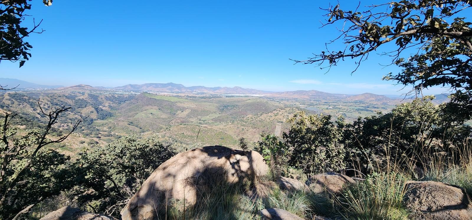
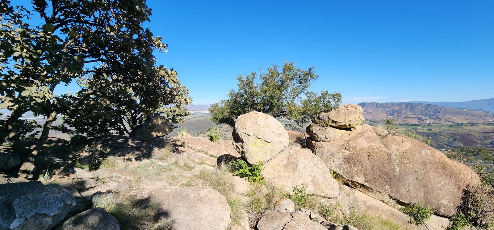
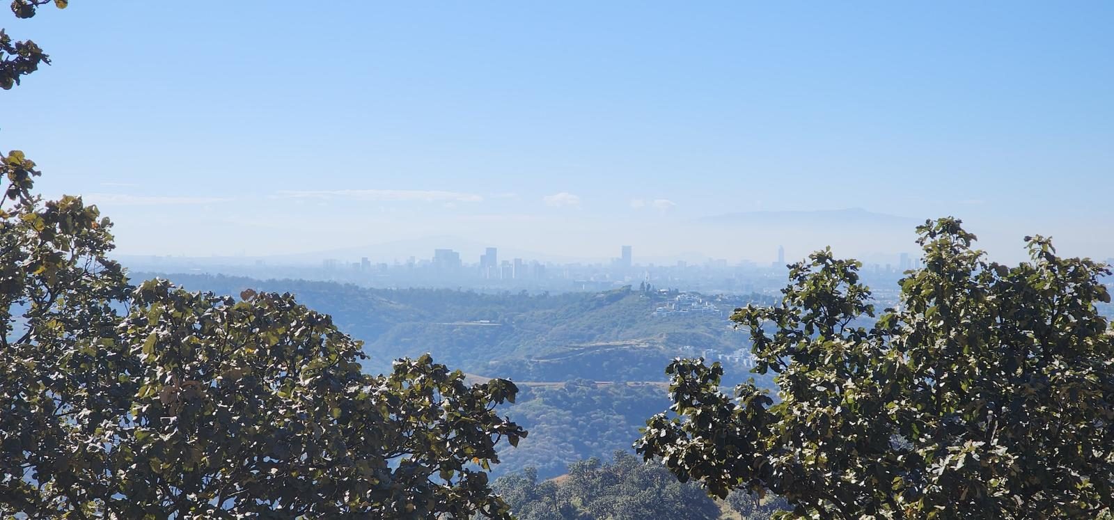
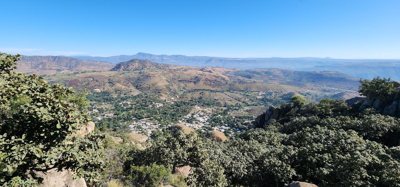
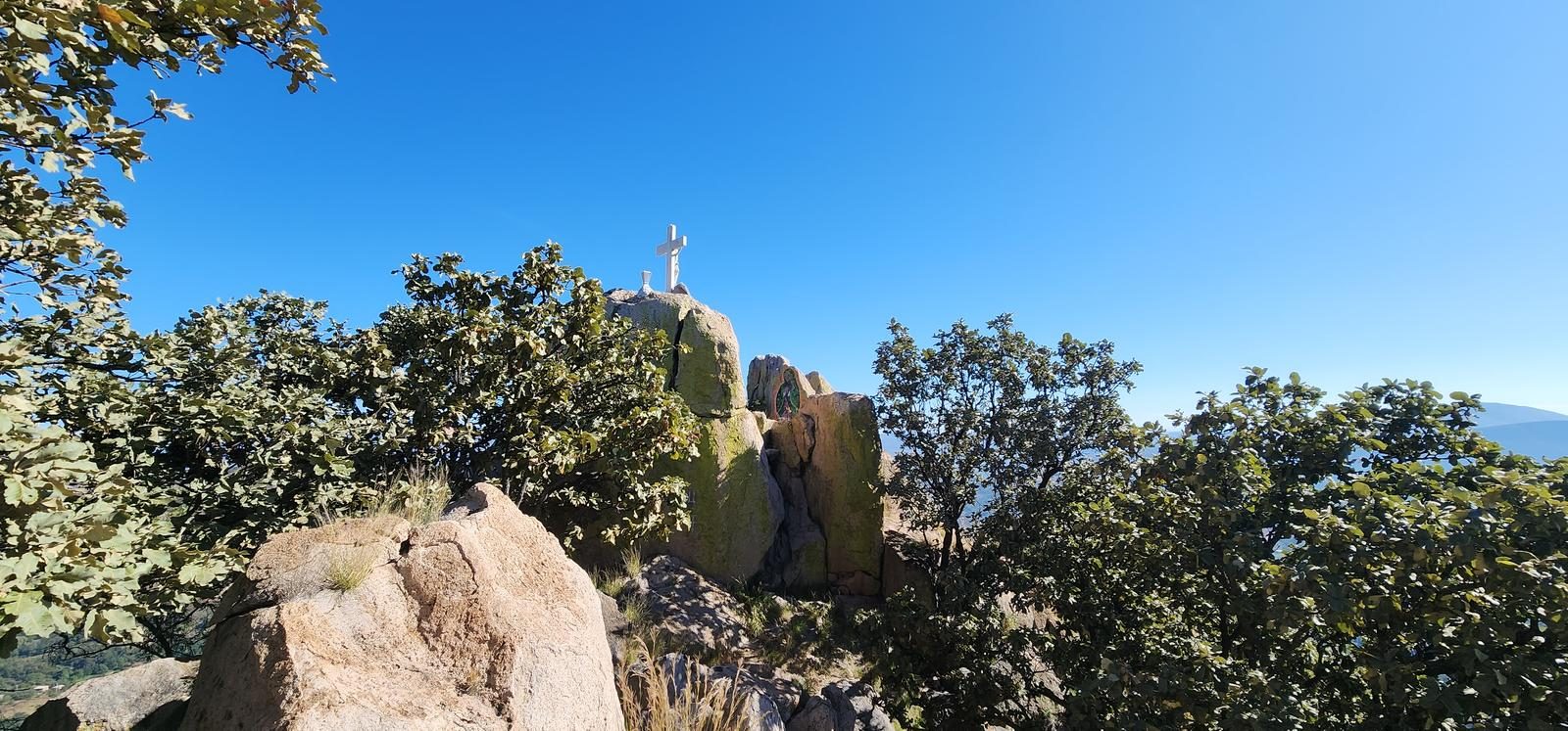
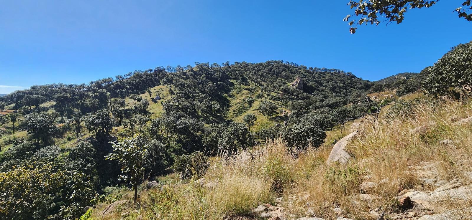
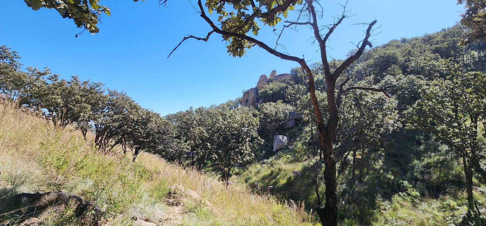
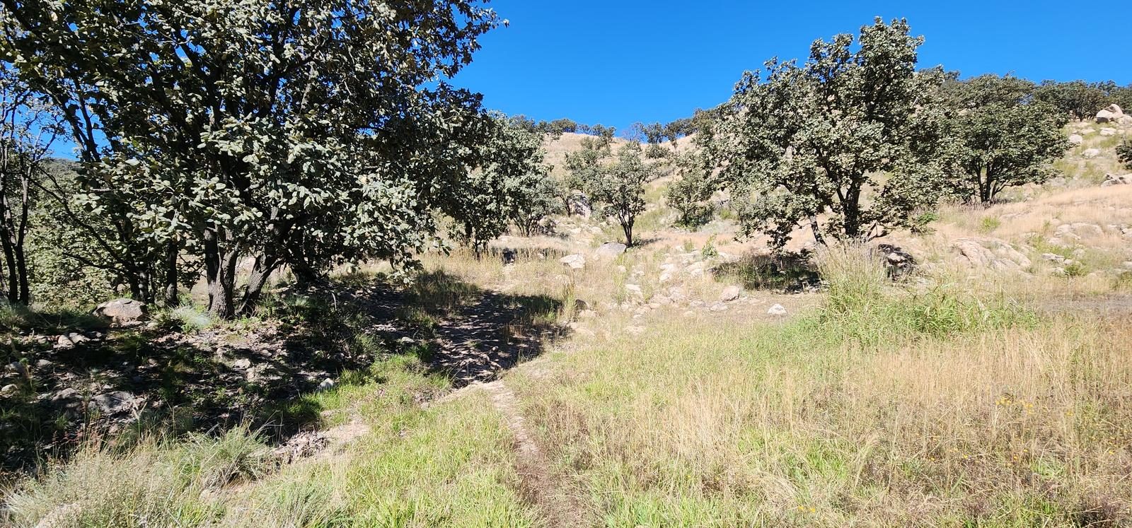
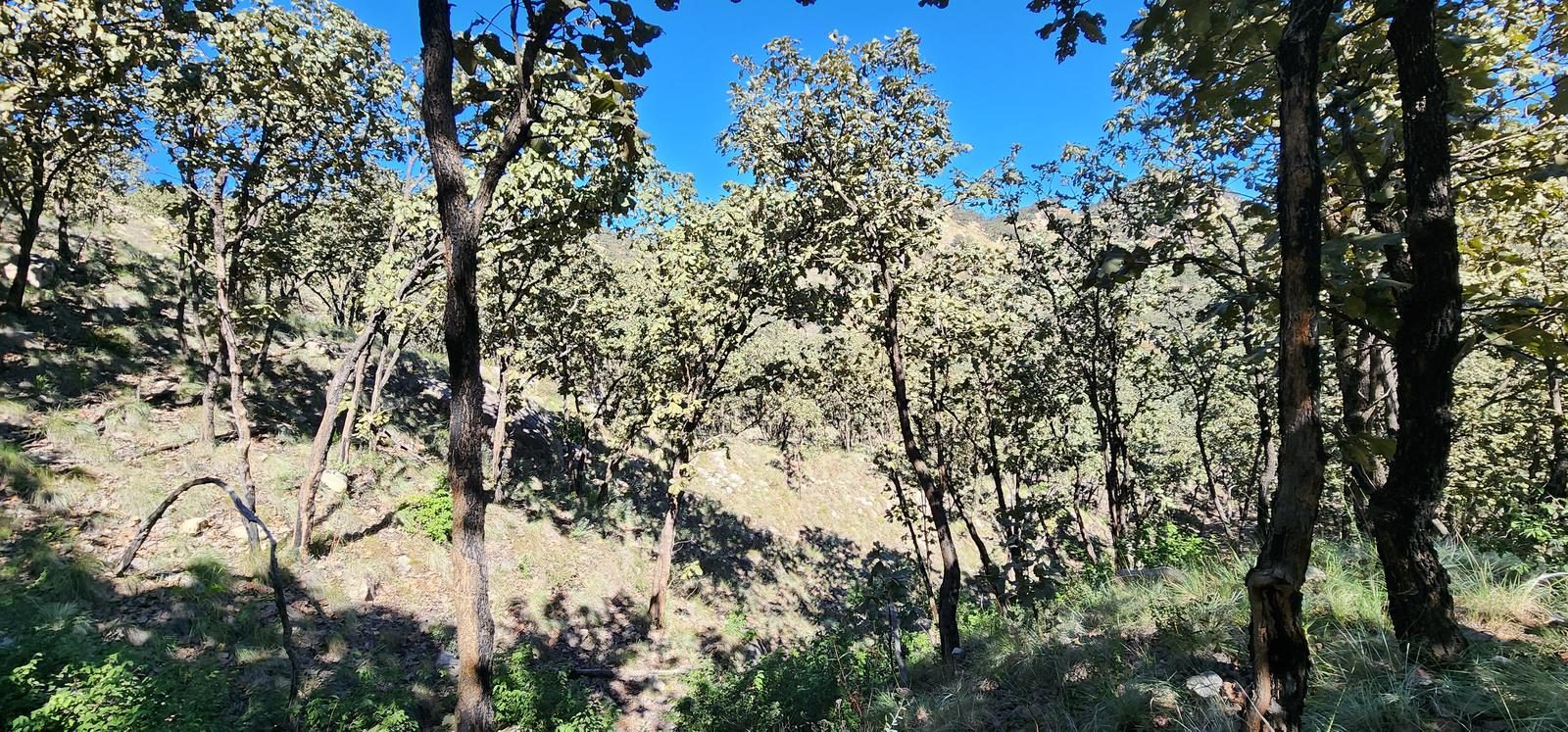
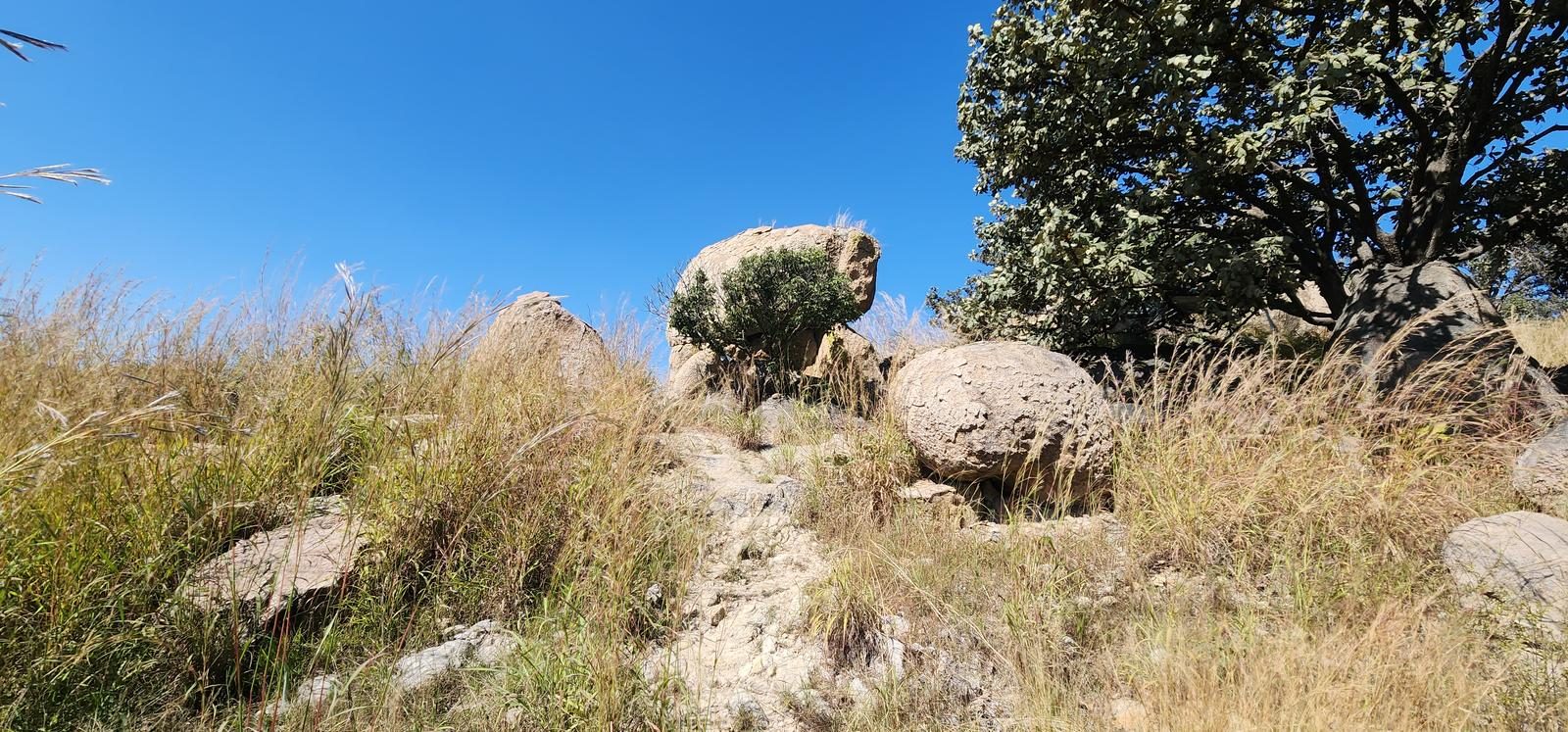
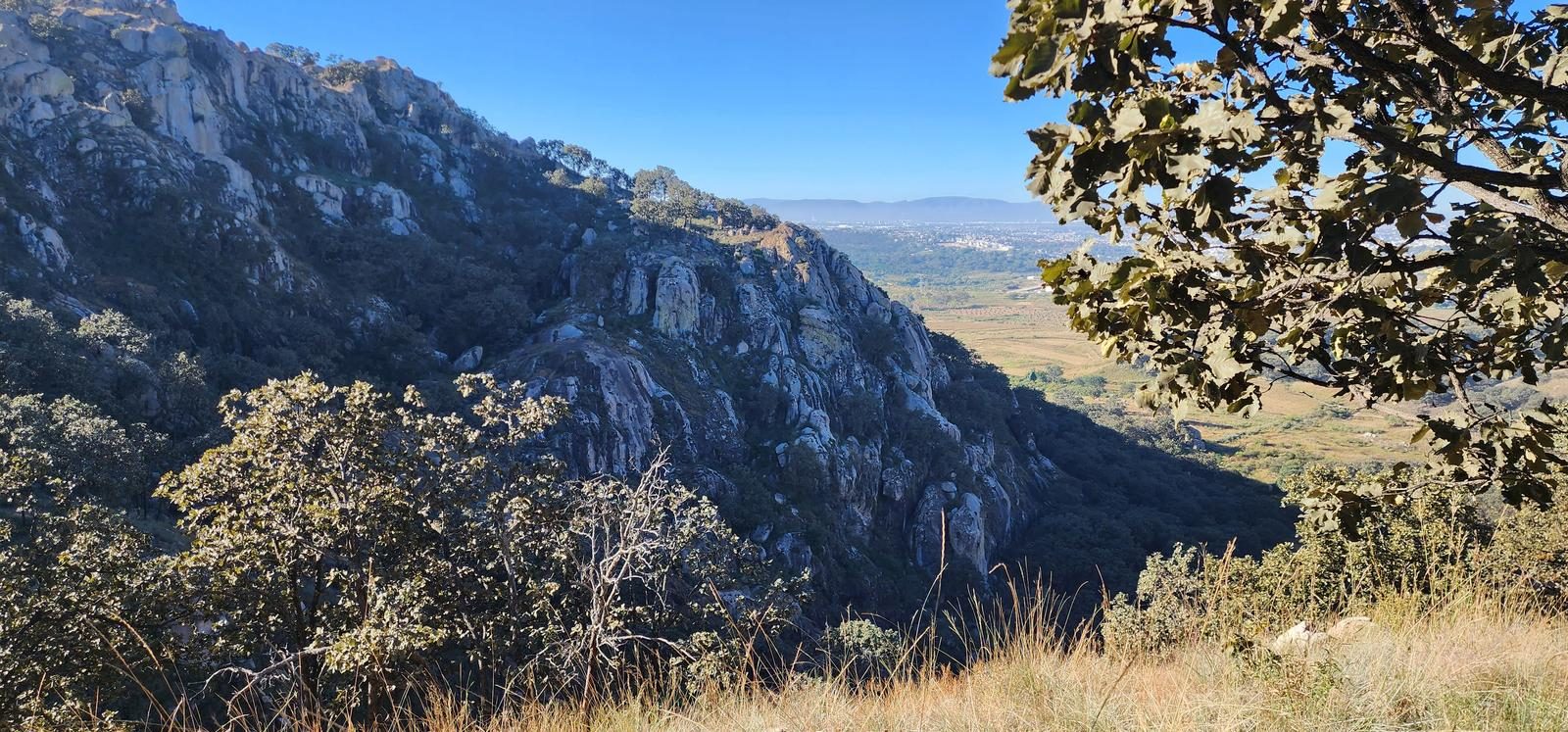
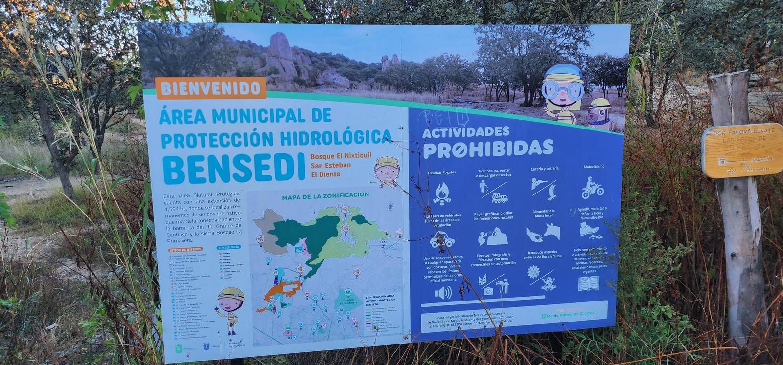
El Diente is Zapopan's rock-climbing park, but the trail stands on its own: 7 km among huge formations everyone ends up finding shapes in.
📢 Alerts & Updates
This route can be done comfortably in any season of the year.
Warnings

Level
i
Packing List
How to get there
Trailhead Access
This trail is located in the northern part of the city of Zapopan, so we have to head towards the San Isidro and El Centinela forests. Shortly before reaching El Centinela, we will turn left at Prol. White River. We will continue straight until we reach the homonymous town and eventually we will arrive at a dirt road (José María Morelos) that will take us to the beginning of the village.
Parking Information
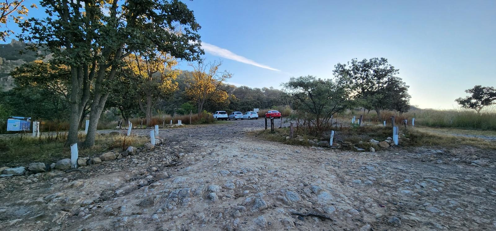
At the beginning of the sidewalks there is an established area (quite large) to leave our vehicles. It is not a guarded parking lot, so it is recommended not to leave valuables.
Fees & Park Hours
They charge $40 pesos per vehicle (regardless of the number of occupants) to enter the park.
Trail Overview
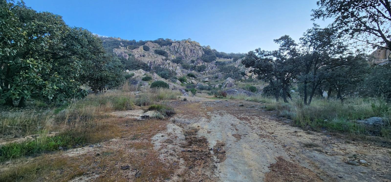
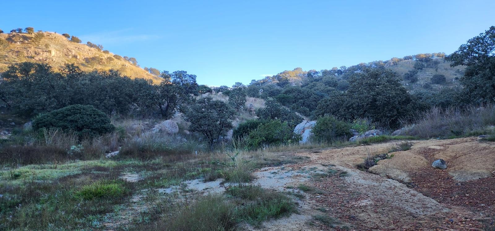
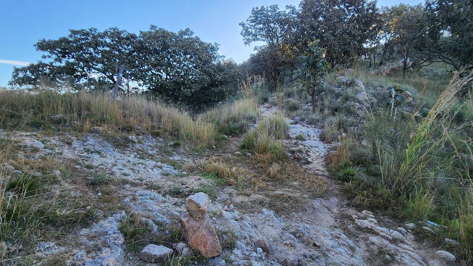
The main path is very well defined/trodden. There are mojoneras (rock mounds) and they have signs similar to those used in the European system (parallel lines in yellow and white). Despite this, there are some variants to the main path, which may also be well defined, but can take us somewhere else.
Recommended Gear
- Hands free lamp (mining type) - External battery (PowerBank) - Sunscreen - First Aid Kit or First Aid Kit - Thermal blanket

Elevation Gain
334 m
Total Distance (Out & back)
7.32 km
Total Time
2 h 11 m
Max Elevation
1691 msnm
It is classified as level 2, since it offers us a cumulative slope of approximately 350 m. This level of difficulty ranges from 200 to 400 m of positive elevation gain, according to our route classification scale.