
Sendero La Angostura - Sierra de San Juan Cosalá
Sendero La Angostura - Sierra de San Juan Cosalá
Sierra de San Juan Cosalá, Jocotepec
830 m
20 km
5 h 49 m
2440 msnm
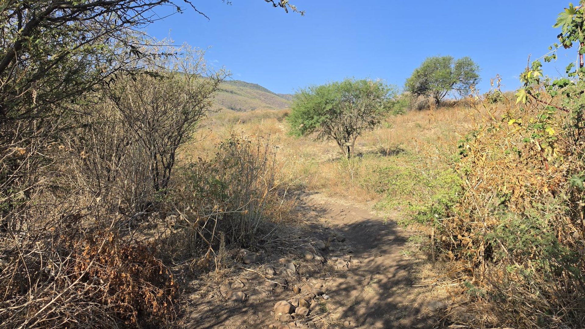
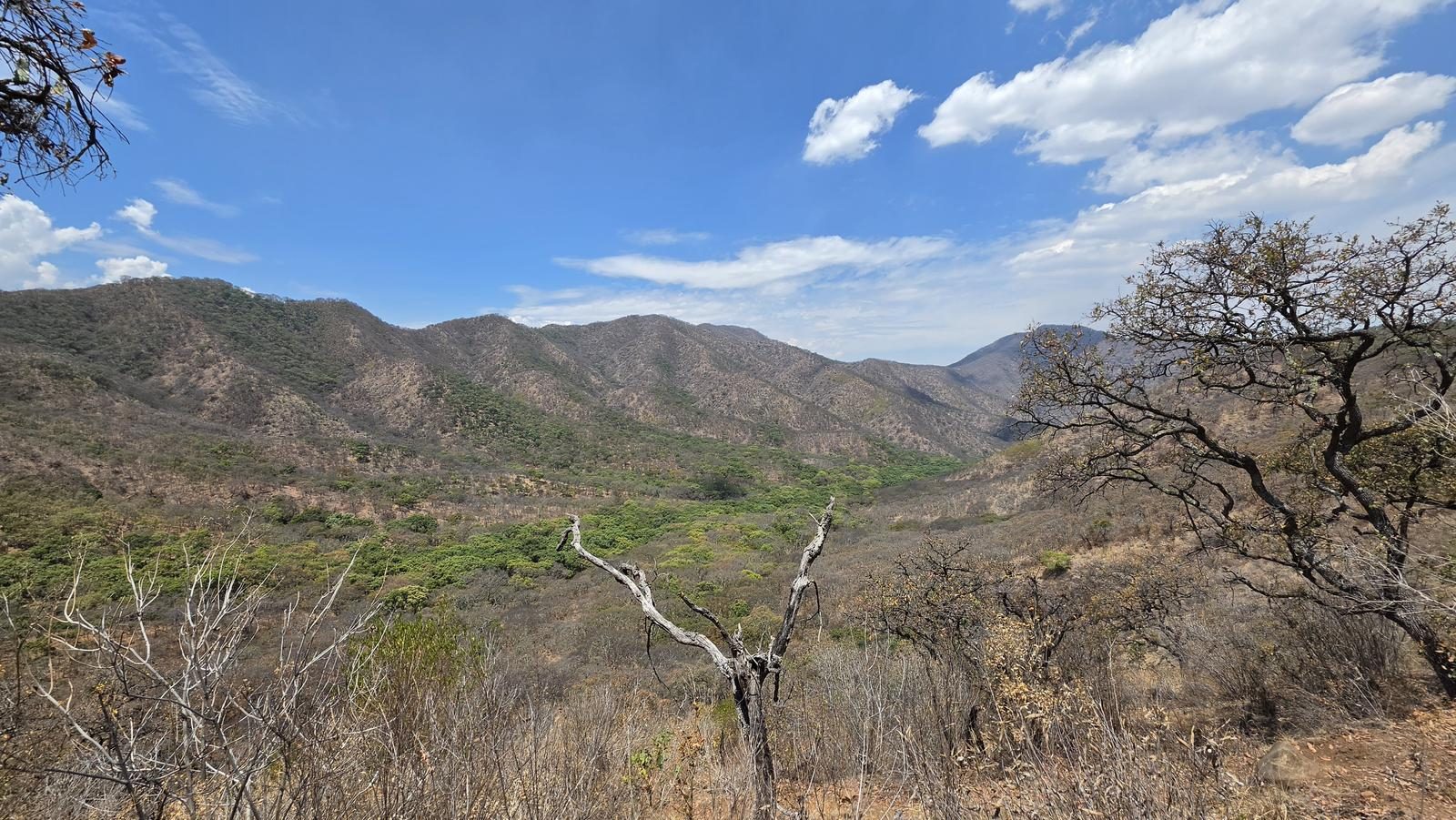
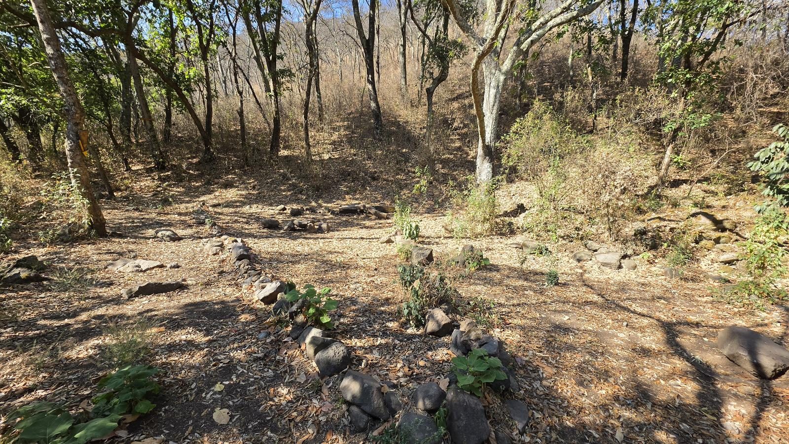
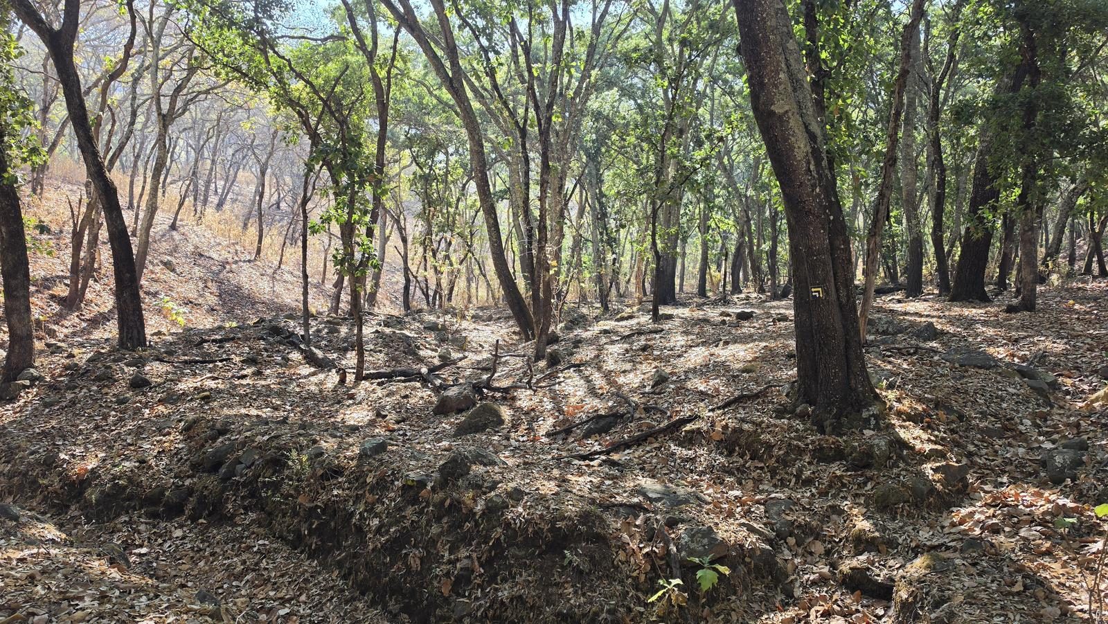
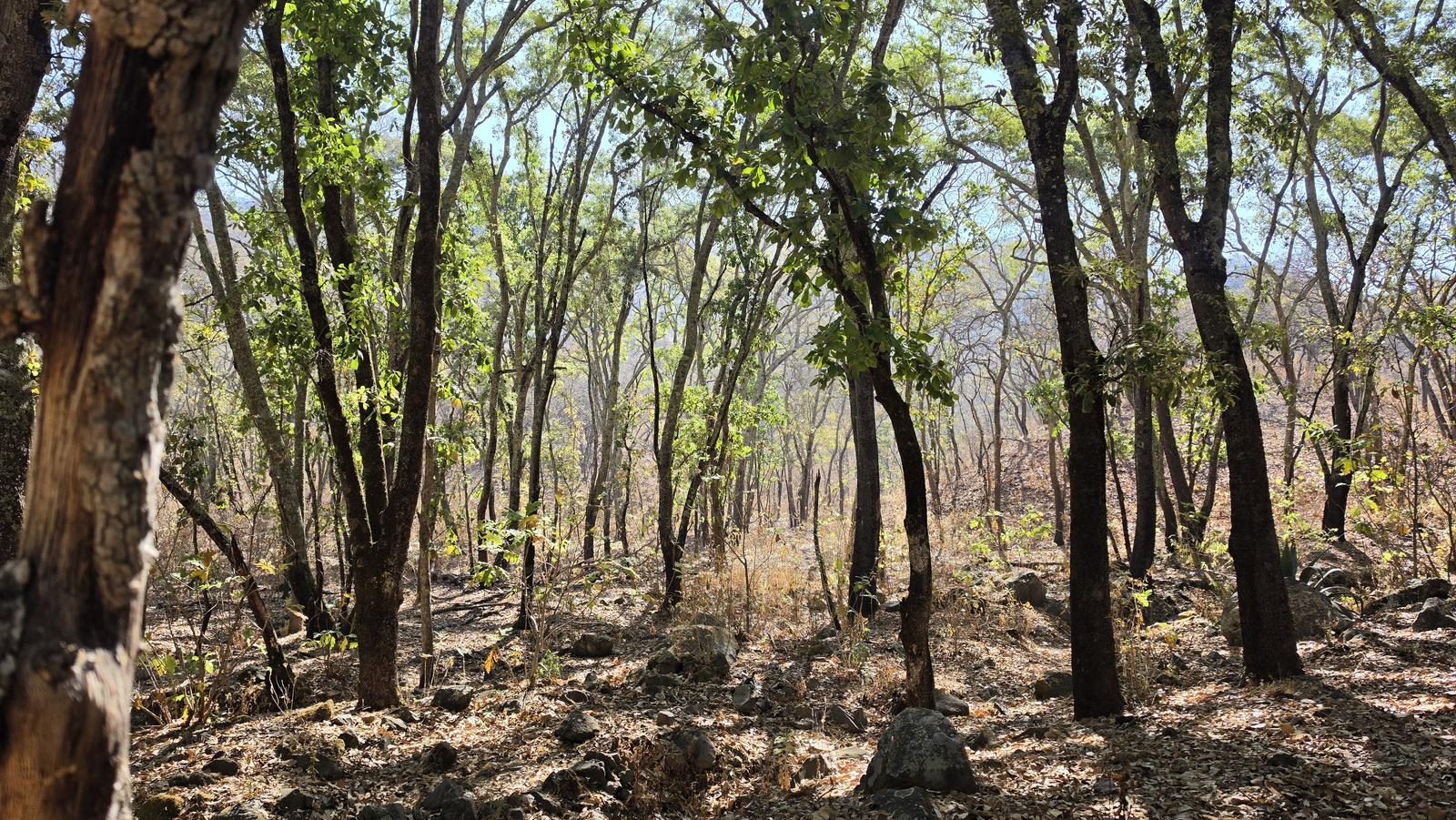
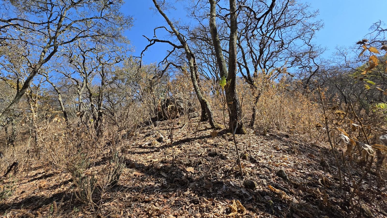
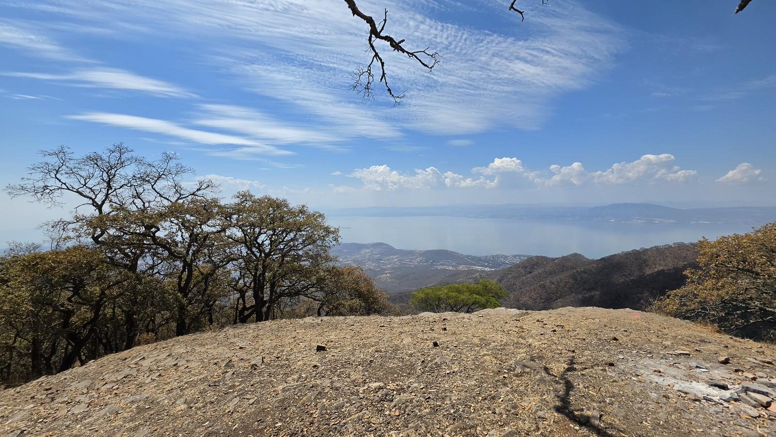
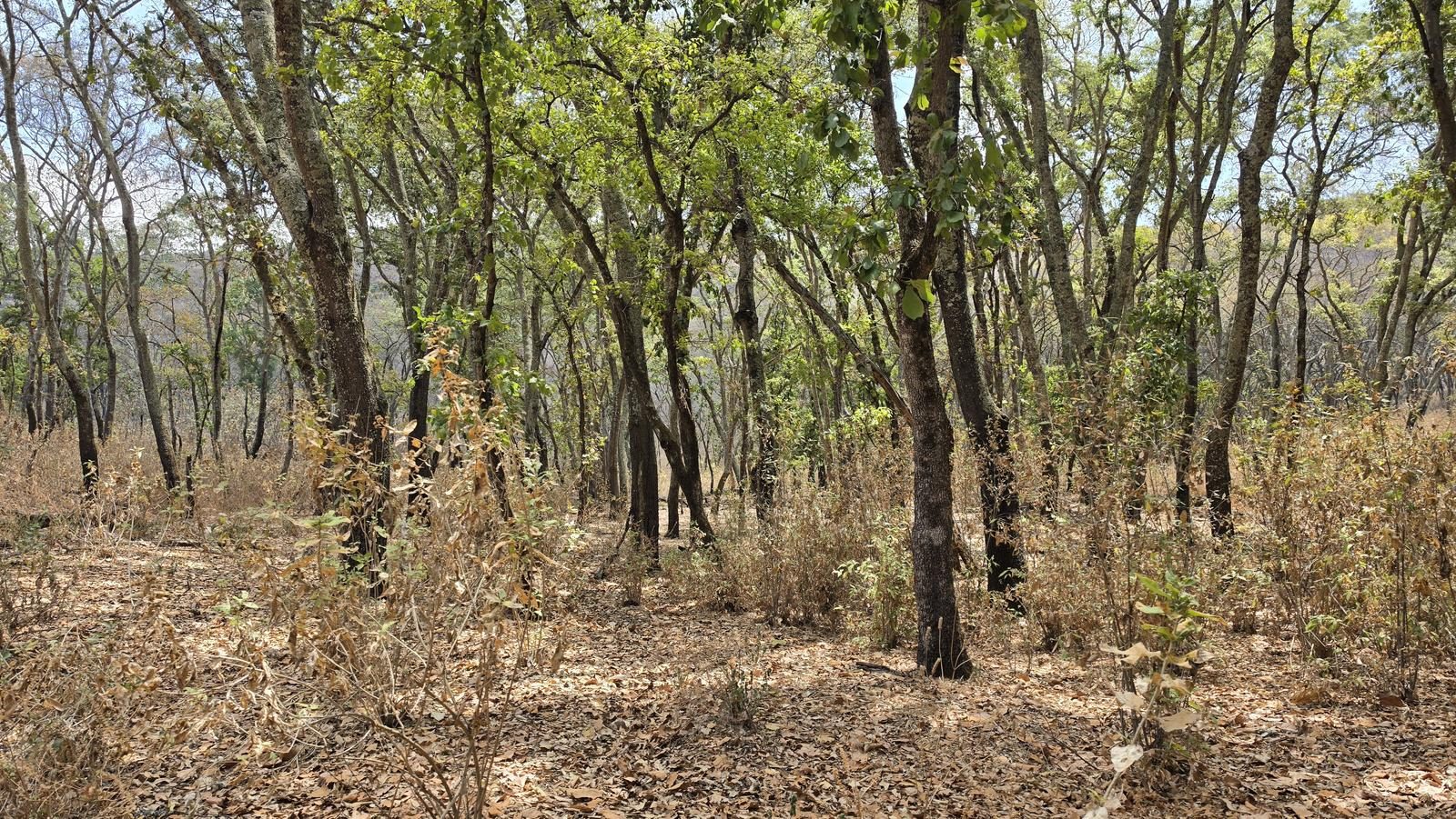
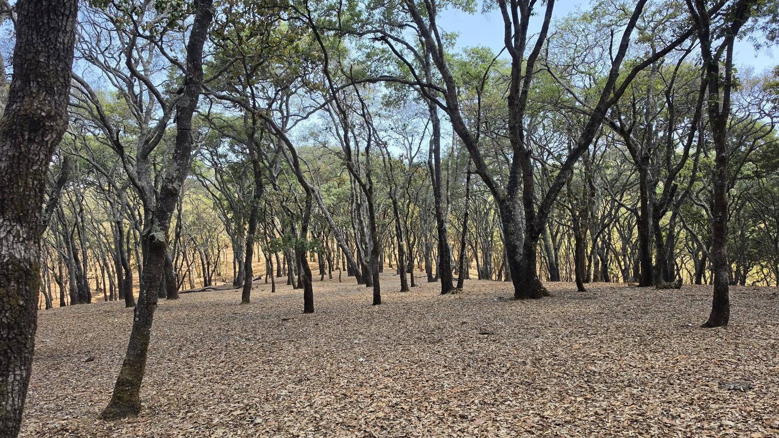
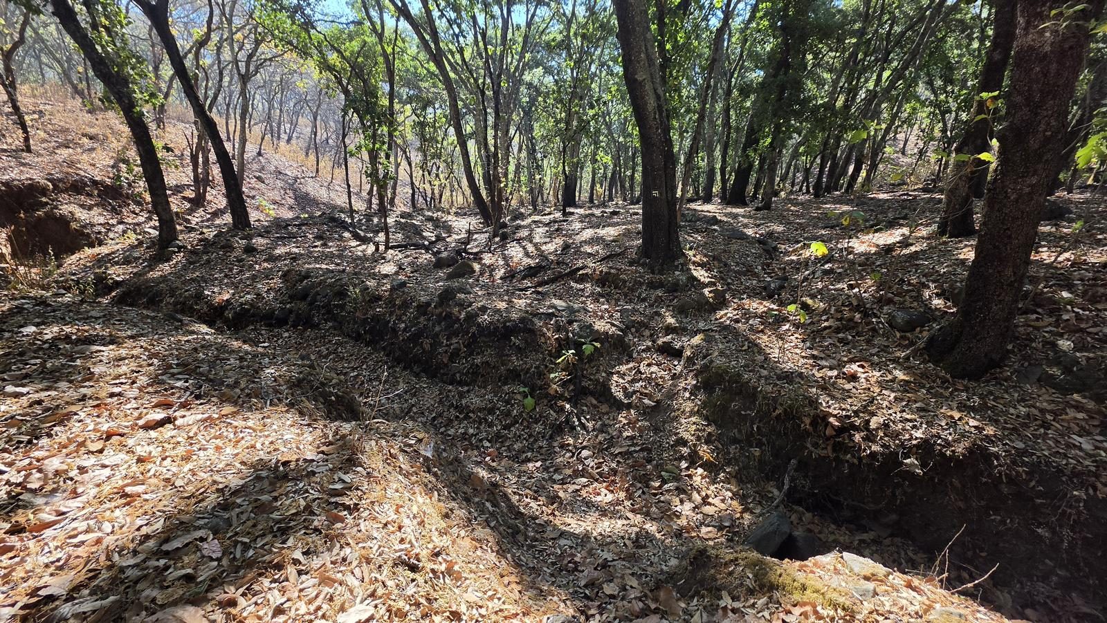
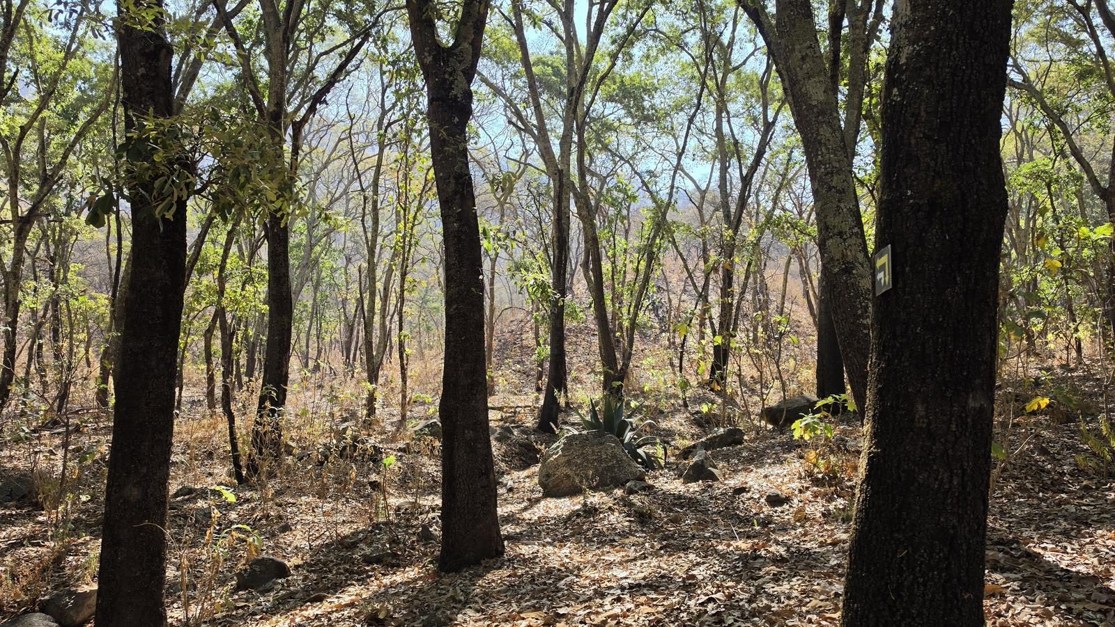
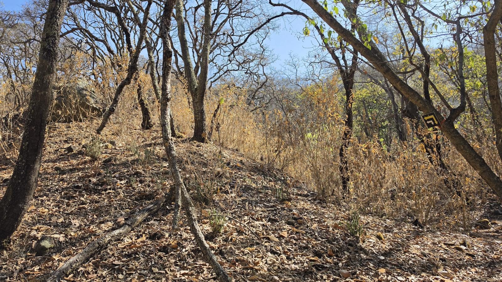
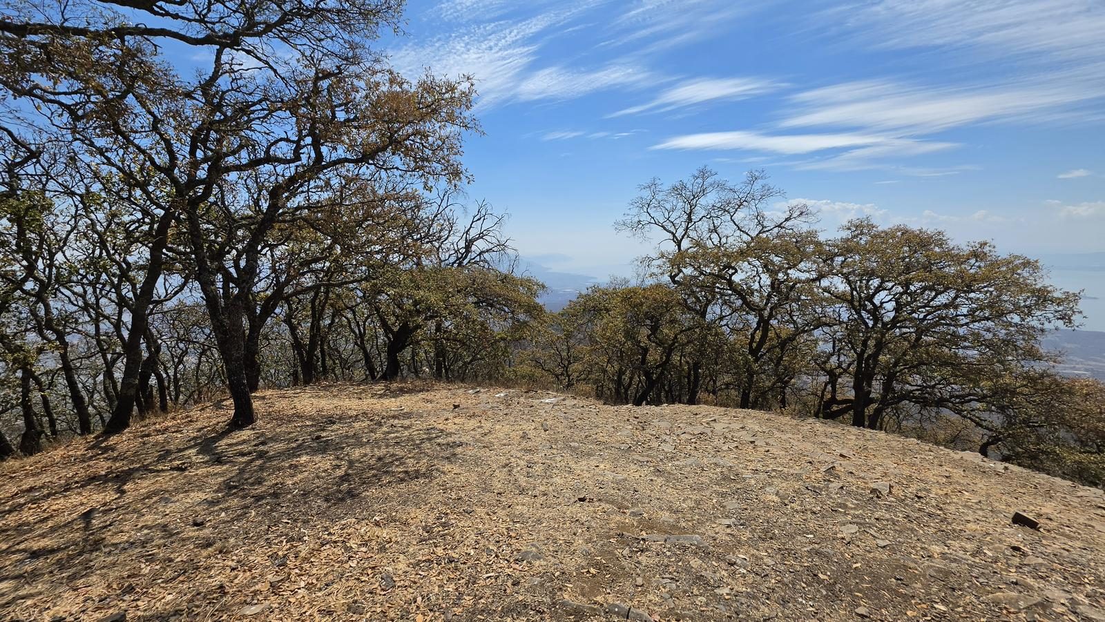
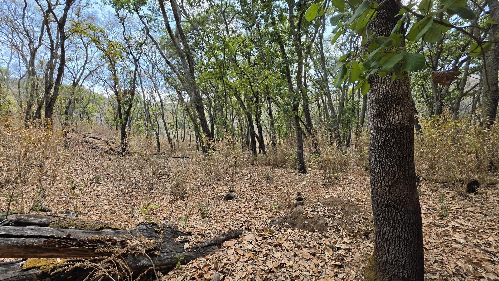
20 km along the streams of Sierra de San Juan Cosalá to the Ixtlahuacán antenna peak. The second half is easy to lose — fallen leaves swallow the footpath.
📢 Alerts & Updates
This route can be done comfortably in any season of the year. Only exercise extreme caution in rainy seasons, since the route is through a ravine, it could be flooded and there could be strong water currents.
Level
i
Packing List
How to get there
Trailhead Access
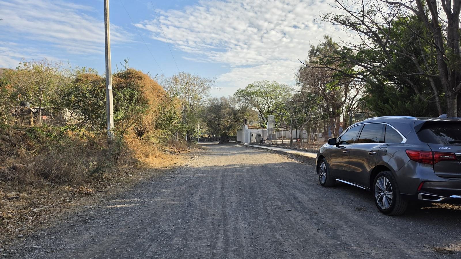
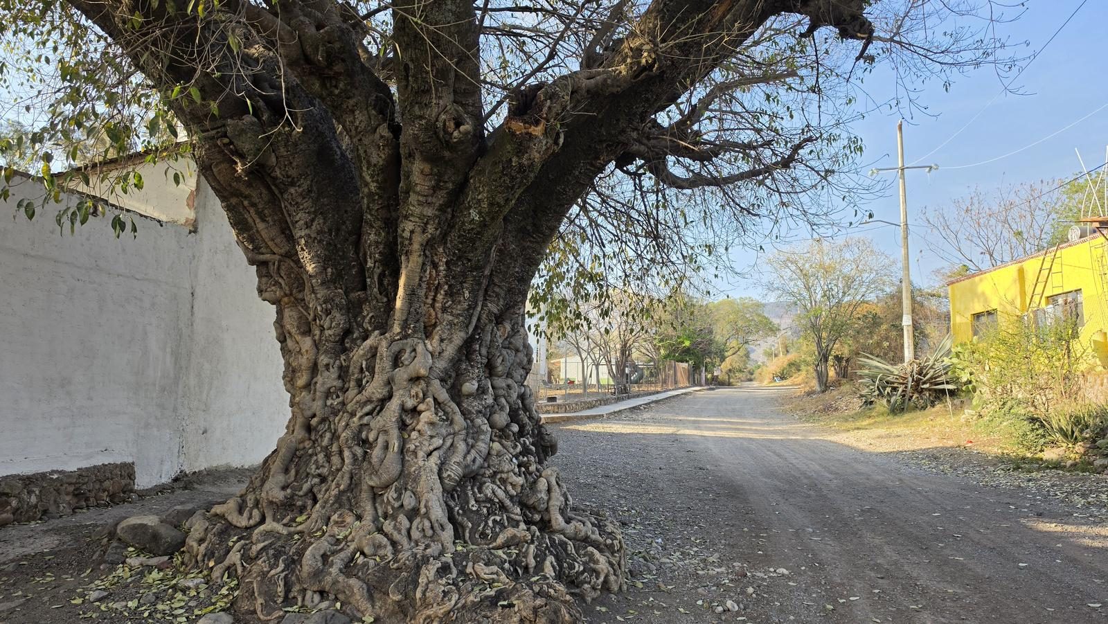
Starting from downtown Guadalajara, take the Chapala Highway. Shortly after crossing under the Macrolibramiento, you take the exit to the town of Los Cedros. The exit doesn't have many signs, but it is right at the height of the first pedestrian crossing after the Macro. We will continue along this cobblestone road for 13-15 minutes (5 km) to reach the town of La Cañada.
Parking Information
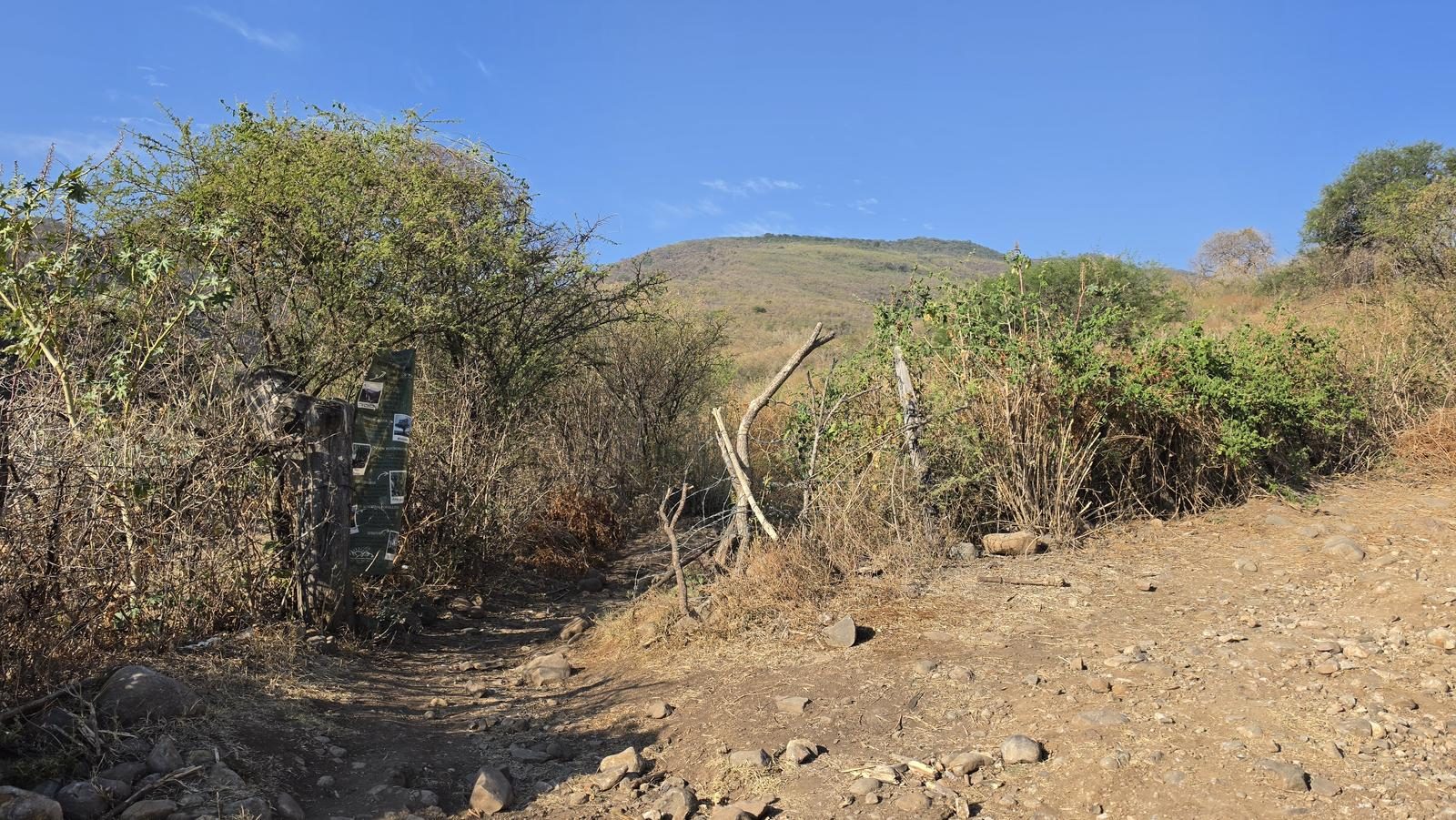
The start of the route is marked in a preschool garden, so we can park on that sidewalk or the one in front.
Fees & Park Hours
May 2026: This route does not involve access costs.
Trail Overview
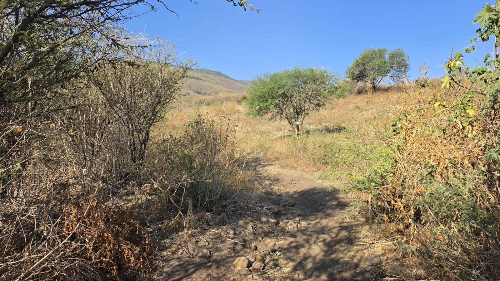
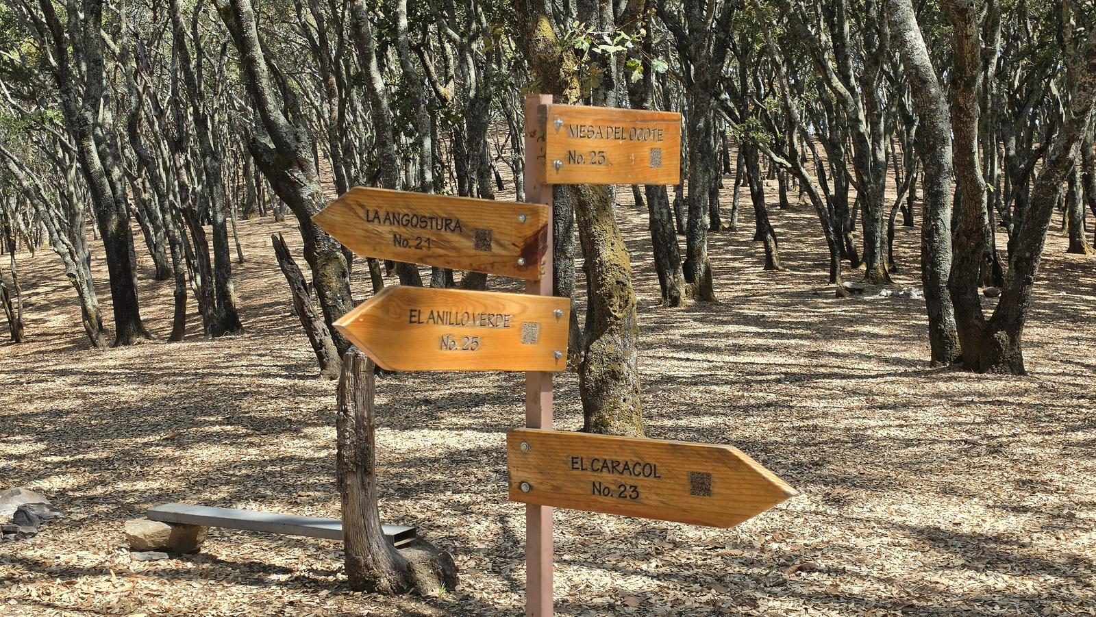
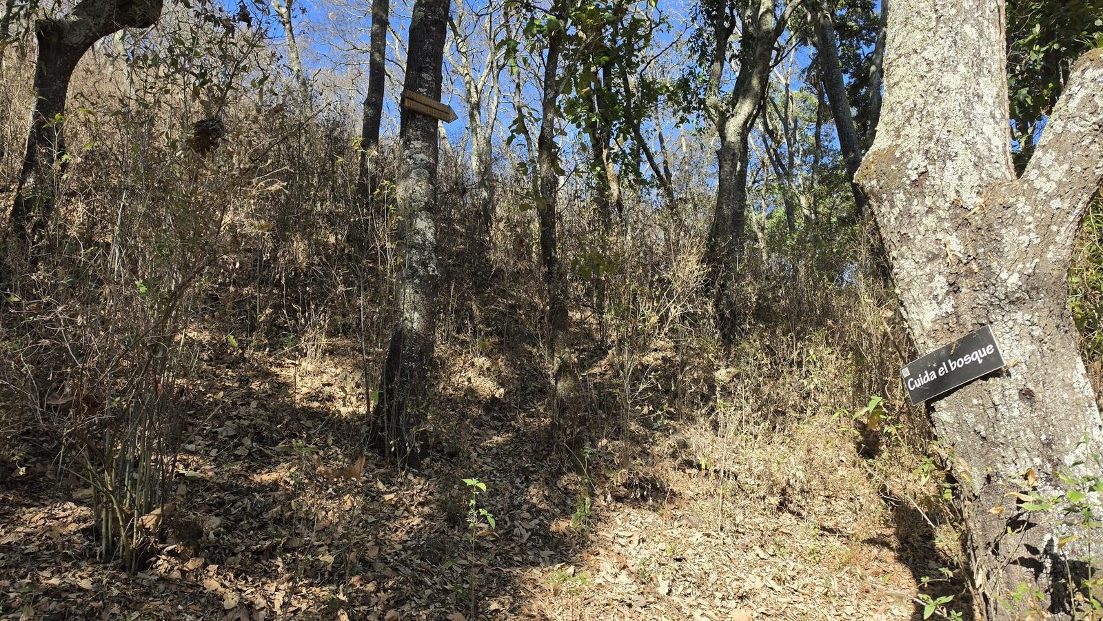
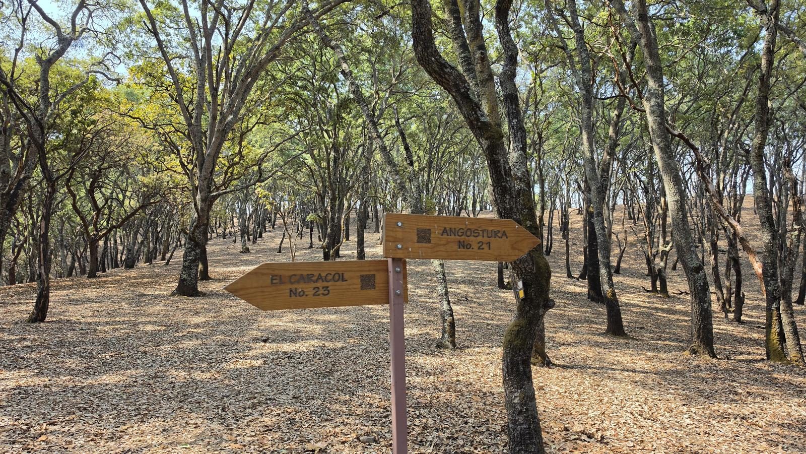
Very loser. Although the first part of the route is through a busy path, the second part can be very difficult, since it has fewer signs and the trail is lost all over the leaf litter.
Recommended Gear
- Hands free lamp (mining type) - Hiking sticks - Thermal blanket - External battery (PowerBank) - Sunscreen - Insect repellent - First Aid Kit or First Aid Kit
Elevation Gain
830 m
Total Distance (Out & back)
20 km
Total Time
5 h 49 m
Max Elevation
2440 msnm
Level 5 (scale from 1 to 10). This route requires good physical condition, since it covers almost 20 km in total and almost 900 m of unevenness can be climbed. The first 400 m of slope is gradually accumulated over 7.5 km, but the remaining ~450 m accumulates in just 2.5 km of distance, so that second part is much more demanding.