
Sendero Mesa de Los Lobos - Los Patios - Zapopan, JAL
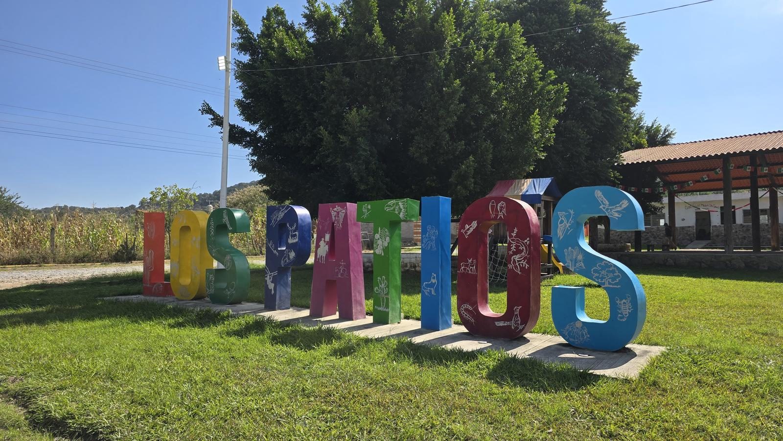
Sendero Mesa de Los Lobos - Los Patios - Zapopan, JAL
Jalisco, Zapopan
238 m
7.42 km
2 h 2 m
1697 msnm
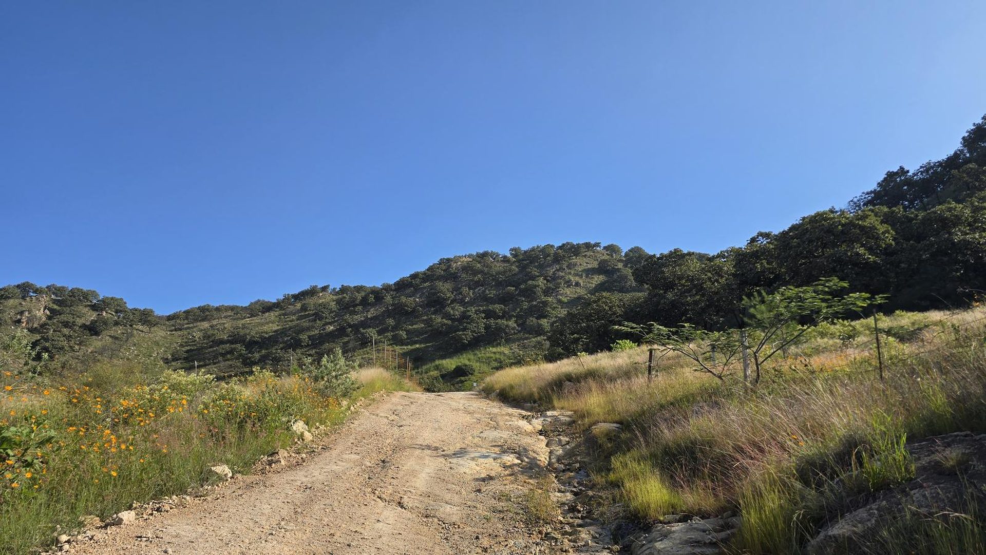
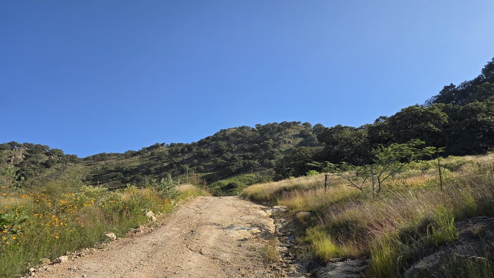
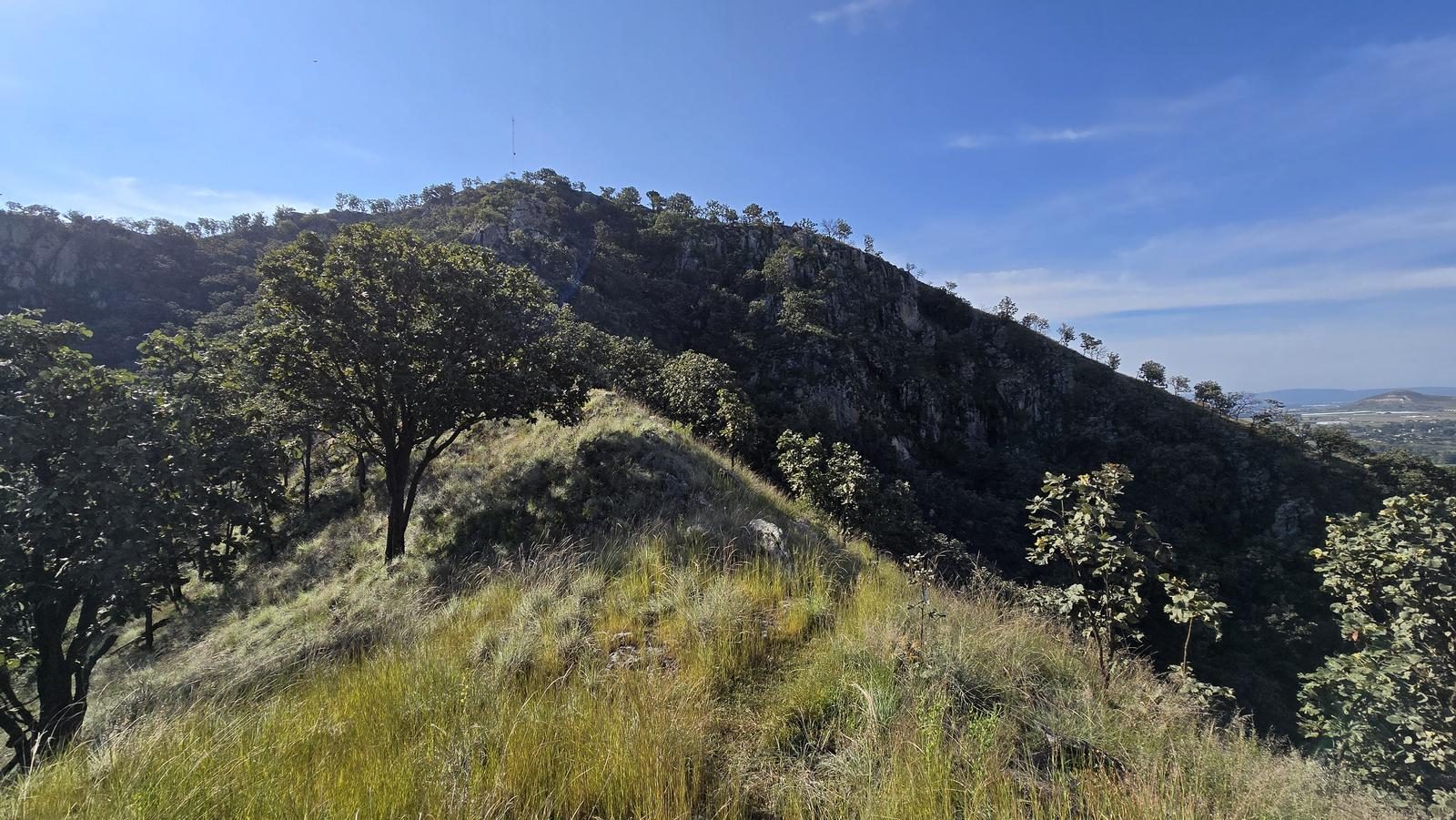
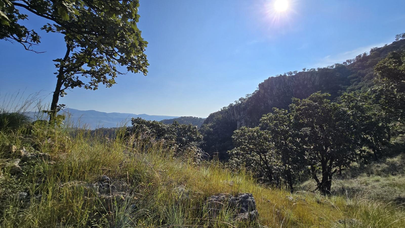
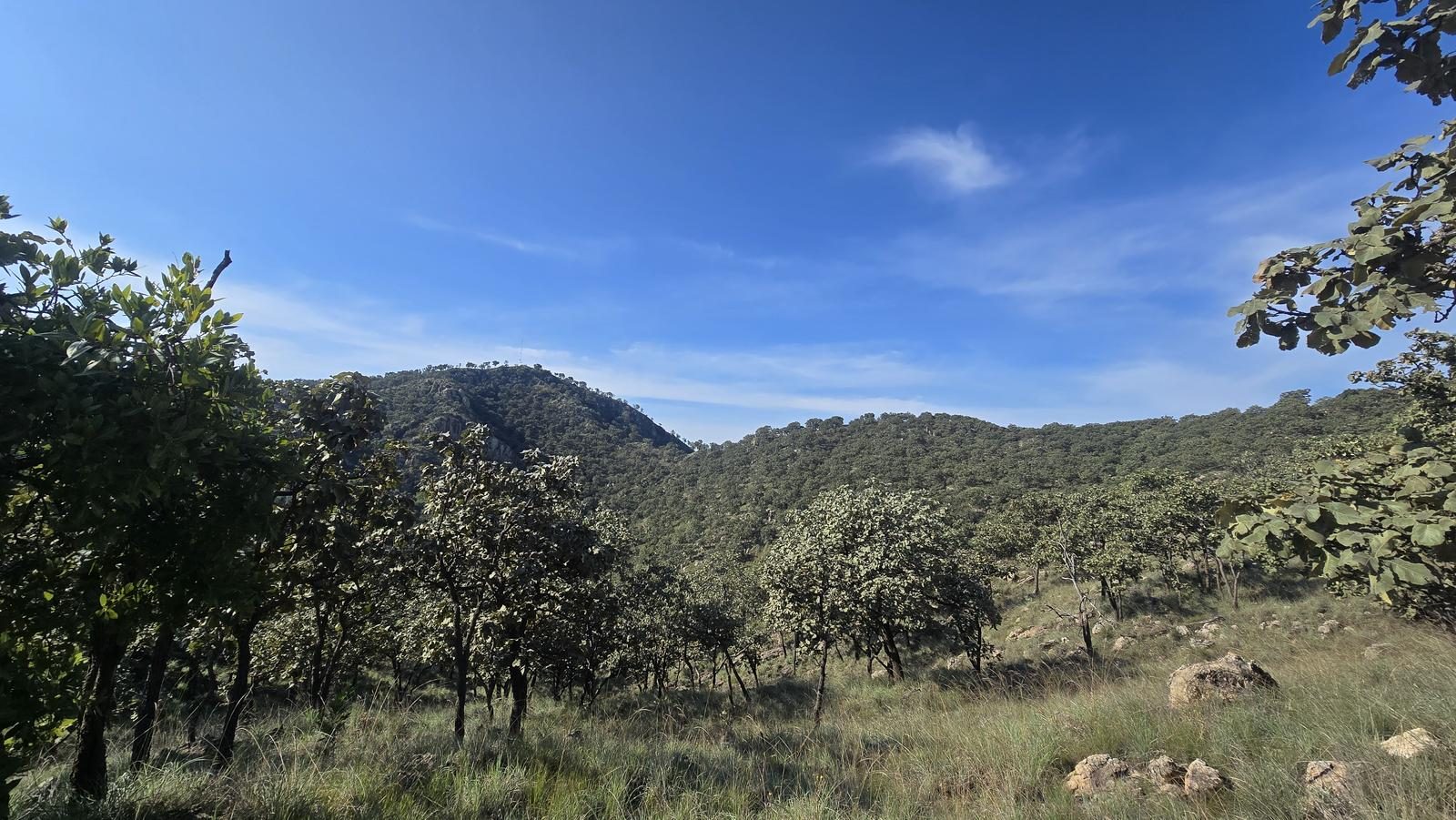
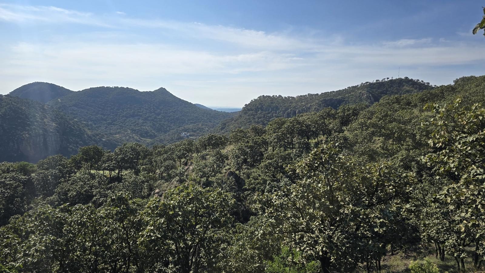
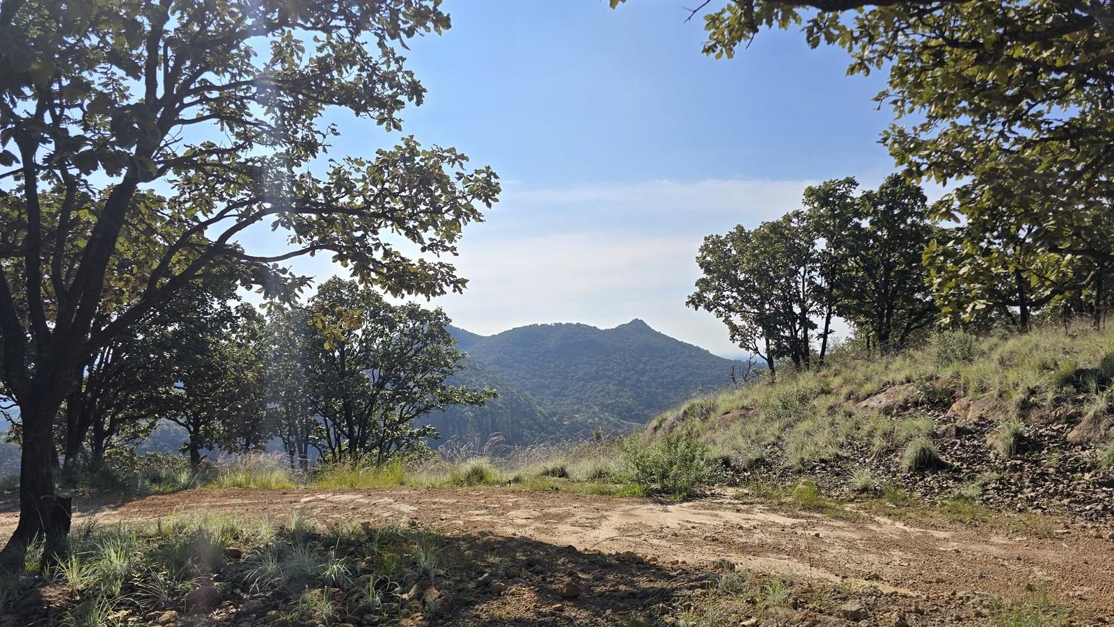
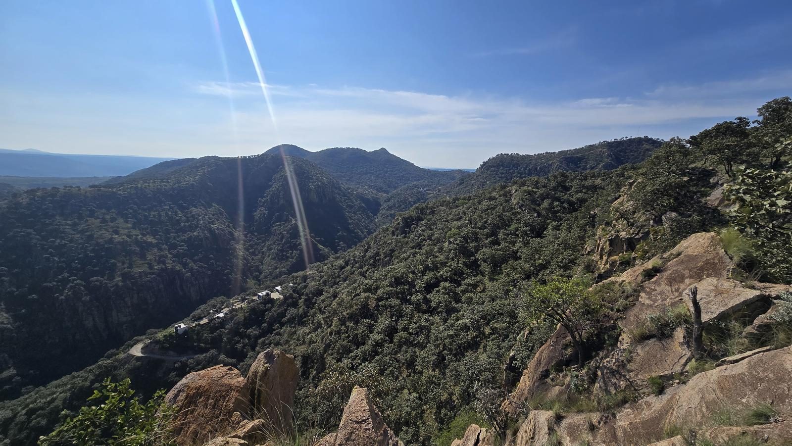
One of the two trails Zapopan signposted in the Río Santiago canyon. Short, well marked, with the La Olla and Ojo de Agua lookouts — a solid place to start.
📢 Alerts & Updates
This route is most enjoyed in autumn and winter seasons, as it has a lot of sun exposure.
Level
i
Packing List
How to get there
Trailhead Access
Departing from downtown Guadalajara, head to Tesistán. Take the road to Colotlán/San Cristobal de la Barranca. 4.5 km later, turn towards the Los Molinos subdivision and continue towards Trébole Residencial. Go around the entire subdivision and take the road to Cópala. After passing the temple and the Copala High School, turn left towards Los Patios. NOTE: Some apps recommend a route variant that passes through Villas de Guadalupe, San Esteban and San Miguel Tateposco. However, some sections of this road are dirt roads in poor condition and not just any vehicle can travel them.
Parking Information
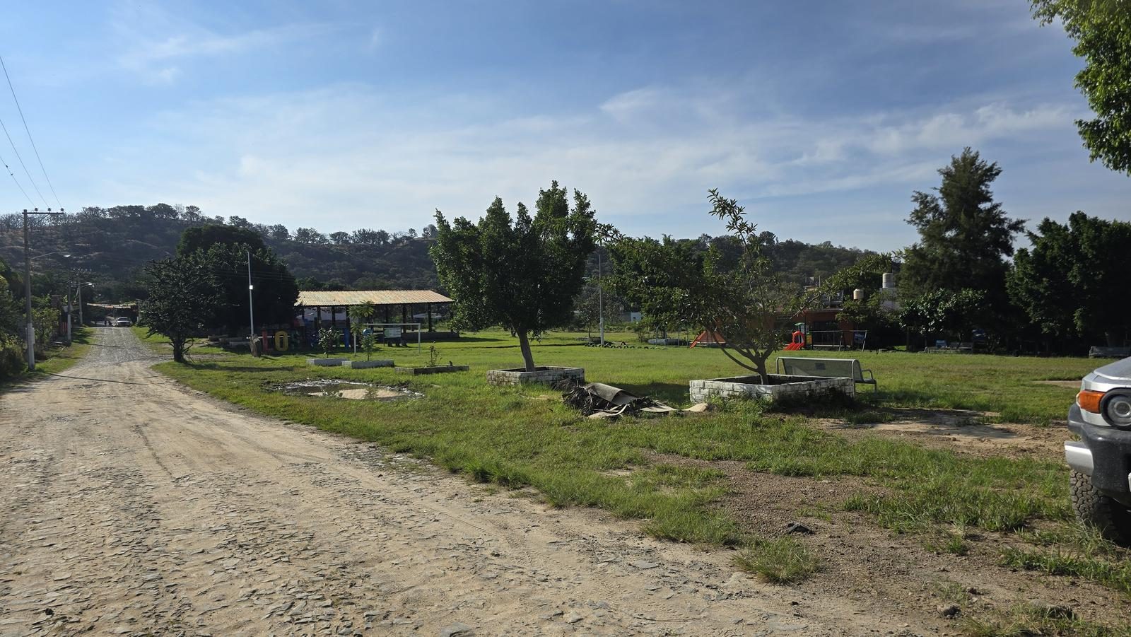
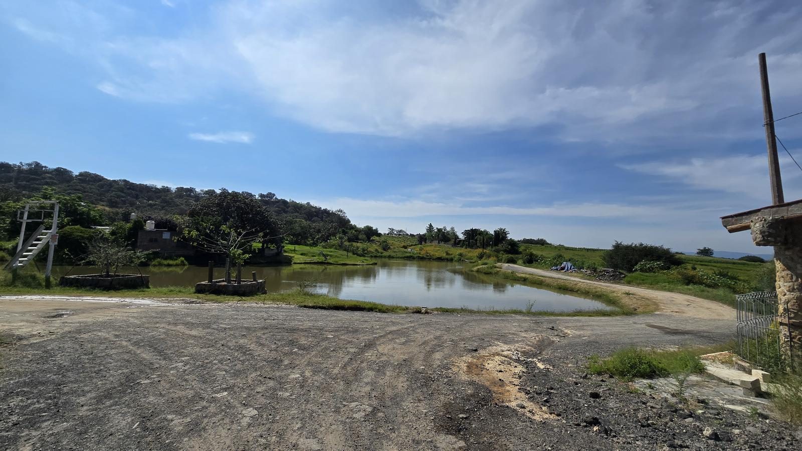
At the start of the route, there are several parking options: around the soccer park and around the main square. Just be careful not to obstruct access or roads.
Fees & Park Hours
October 2025: This route does not involve access costs.
Trail Overview
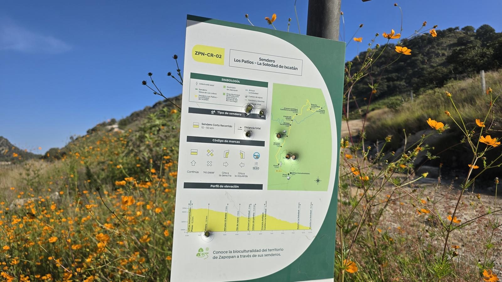
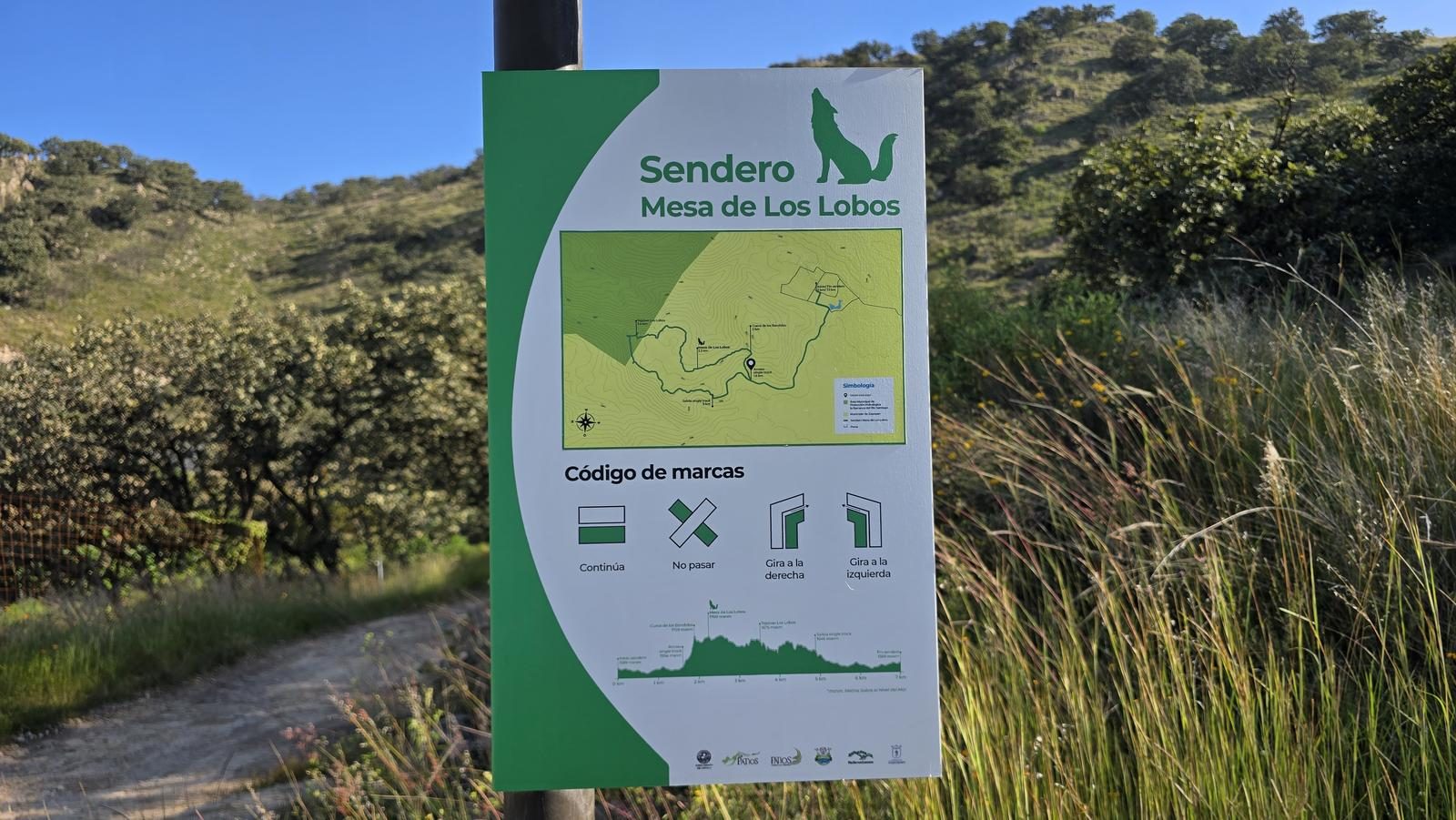
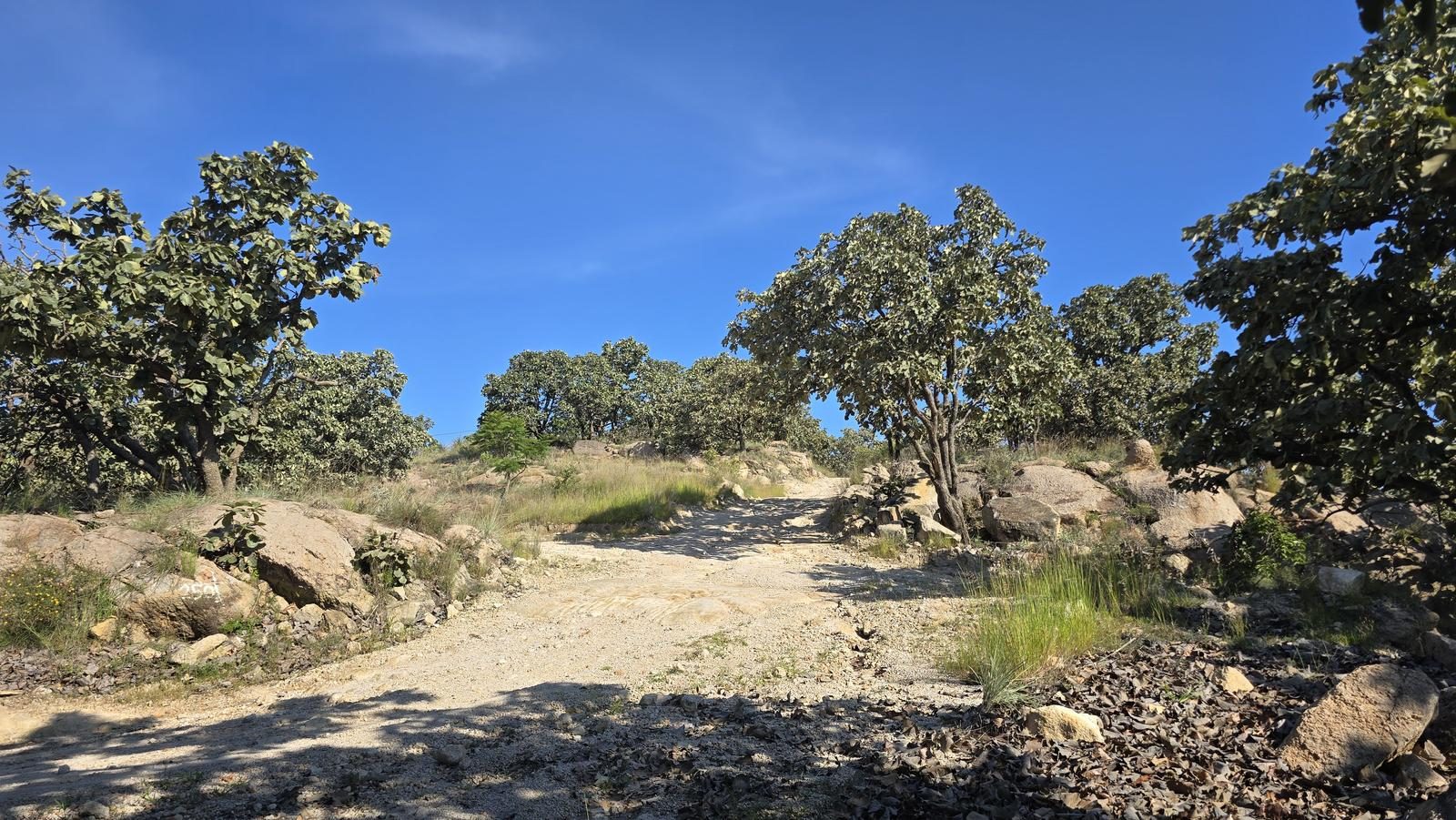
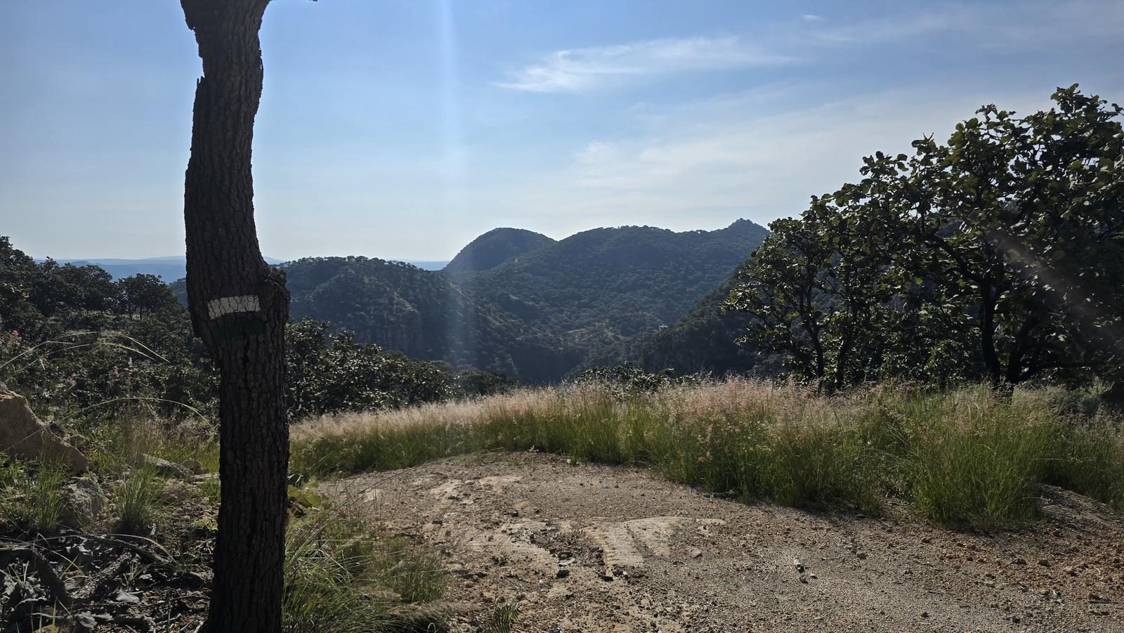
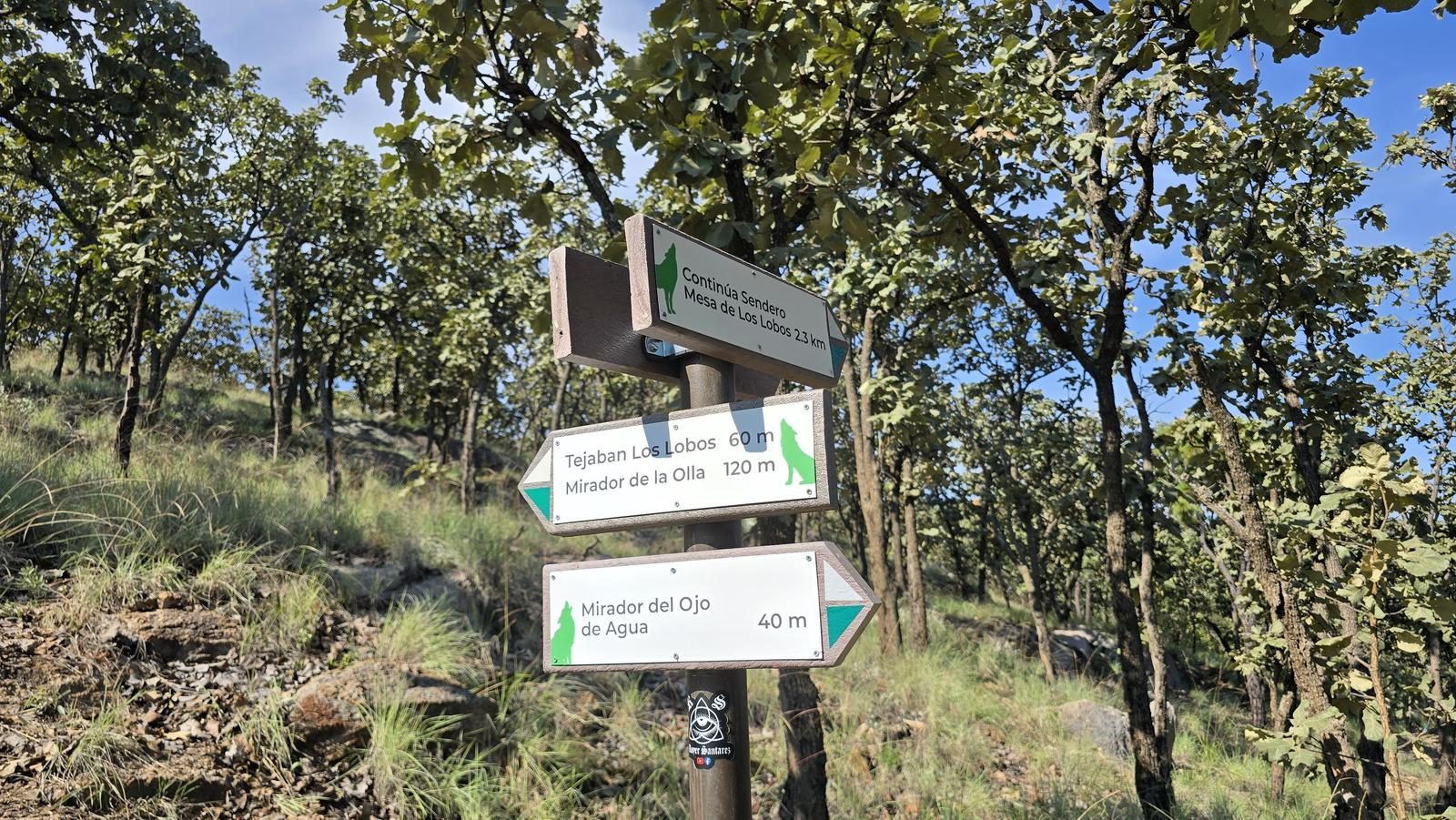
Excellent. The trail is easy to follow and very intuitive. In addition, it is part of the trails marked by the municipality of Zapopan, so we will find signs along the route. In any case, we recommend relying on Wikiloc so as not to take a different path than this itinerary, since there are some variants of trails that could take us to different places.
Recommended Gear
- Hands free lamp (mining type) - External battery (PowerBank) - Whistle - First Aid Kit or First Aid Kit - Thermal blanket - Sunscreen - Insect repellent

Elevation Gain
238 m
Total Distance (Out & back)
7.42 km
Total Time
2 h 2 m
Max Elevation
1697 msnm
Route level 1 (scale from 1 to 10). This is an ideal route for beginners, as there are approximately 200 m of positive elevation gain. This is equivalent to climbing a building of less than 70 floors. It is advisable to be in good physical condition to enjoy the tour.