
Torre 3 - Bosque la Primavera
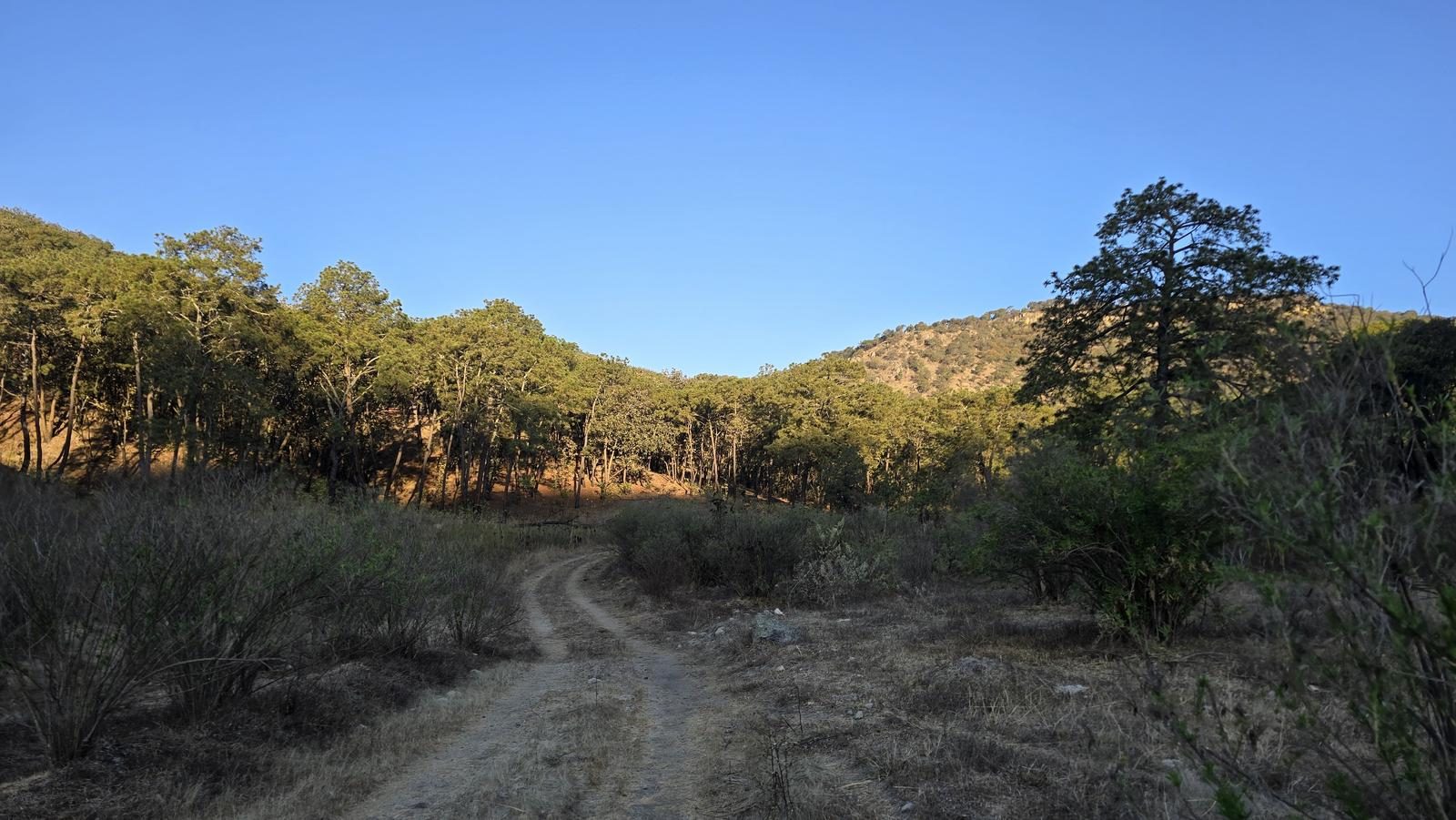
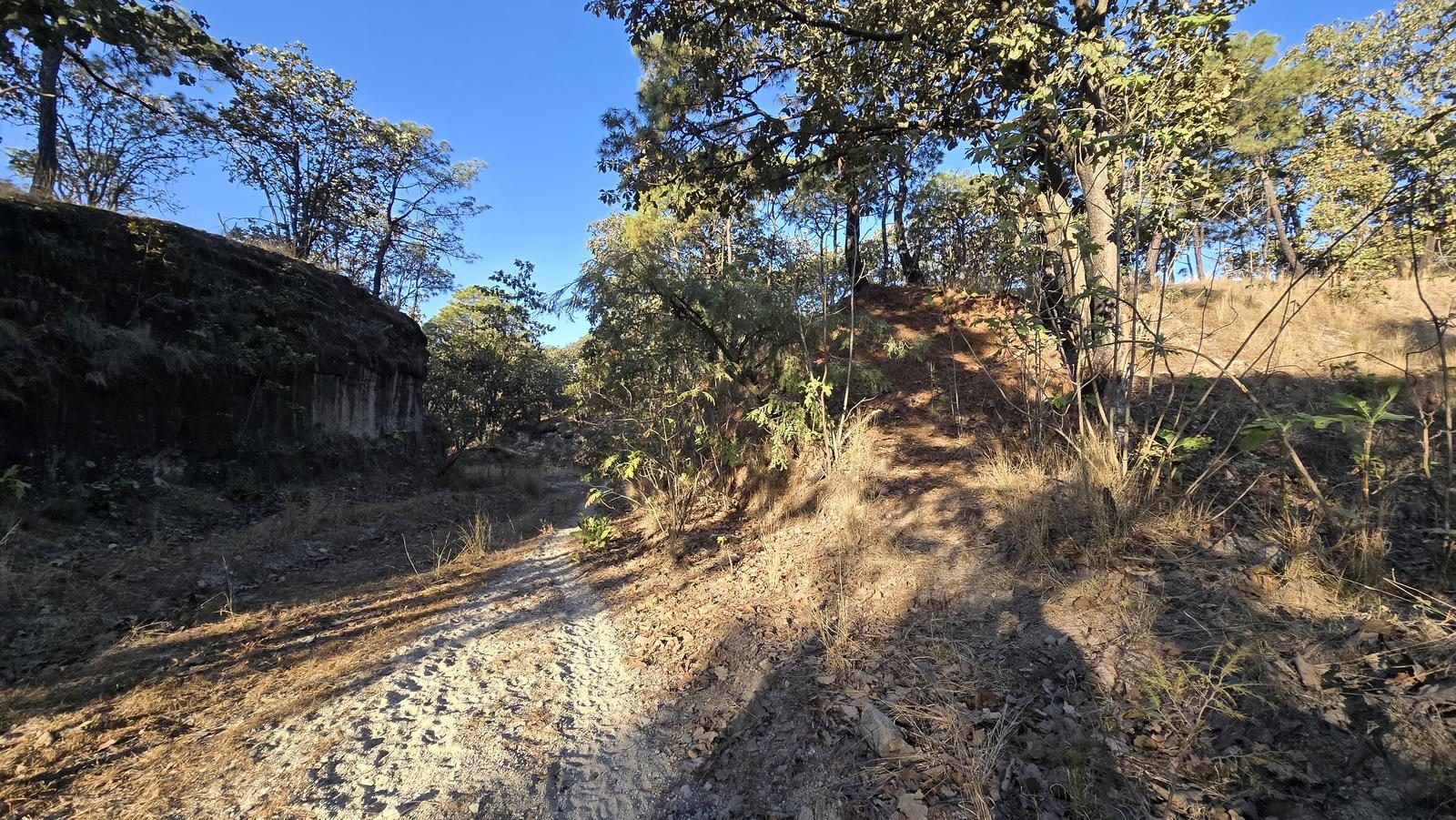
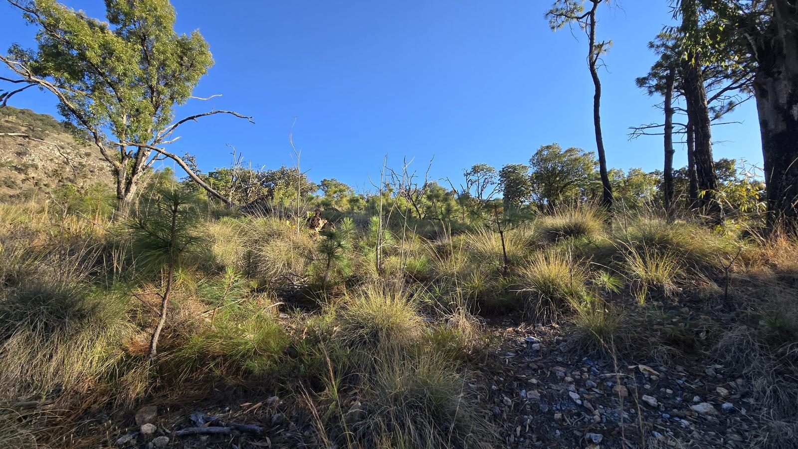
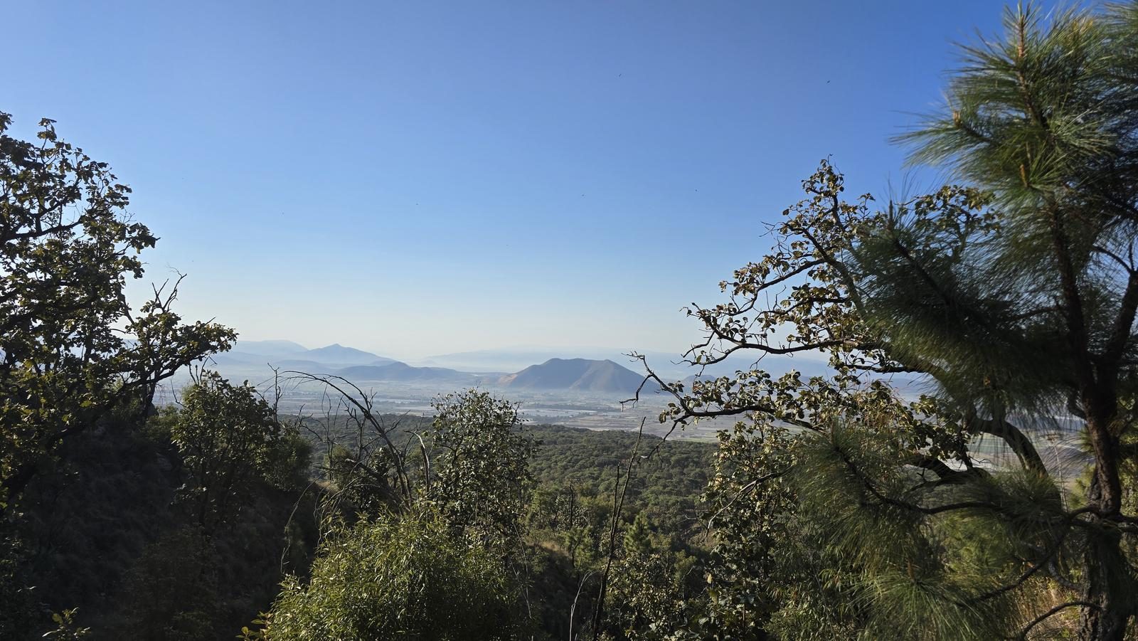
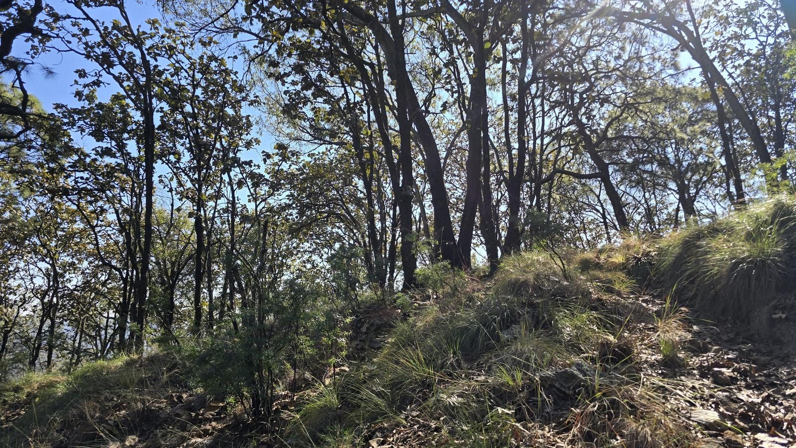
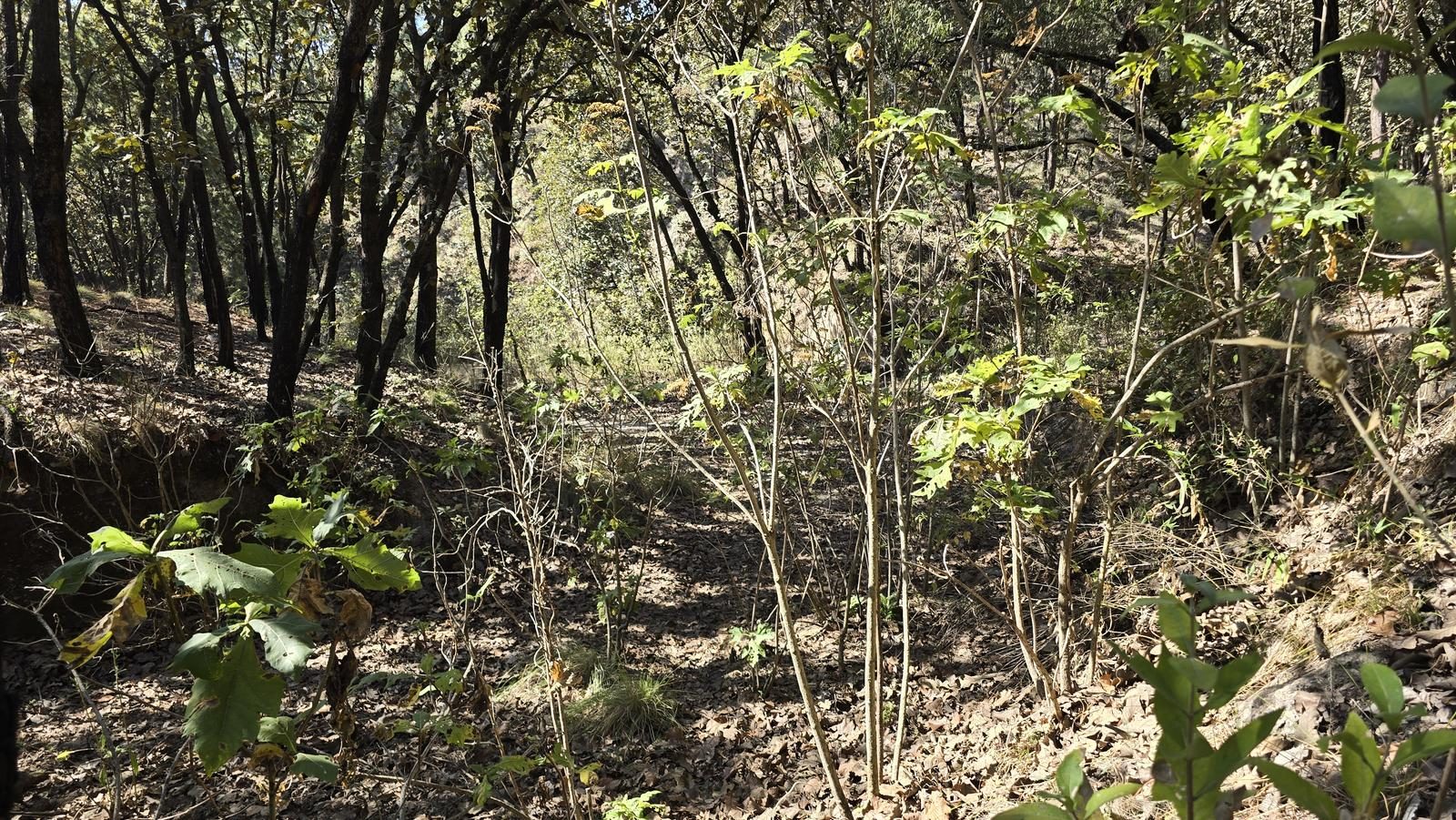
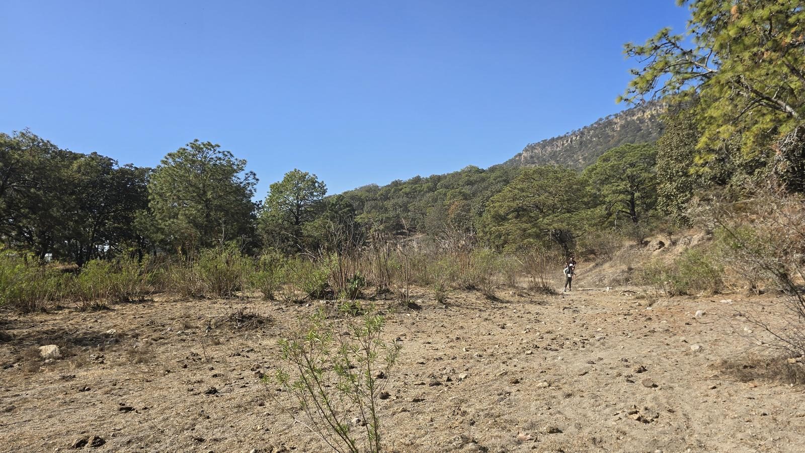
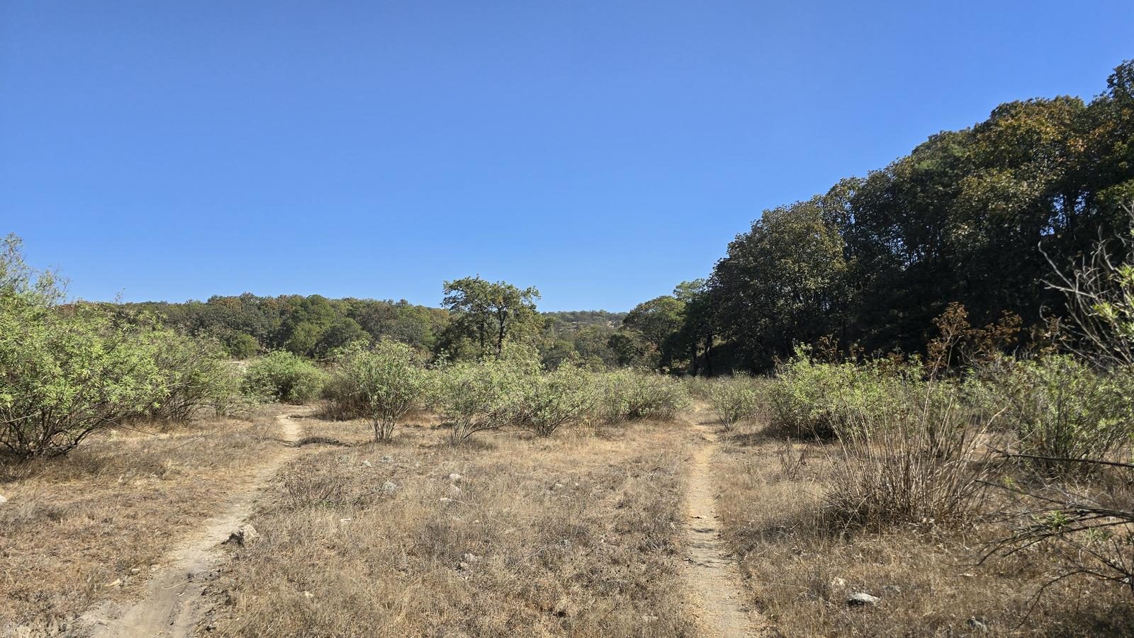
Torre 3 - Bosque la Primavera
Área de Protección de Flora y Fauna La Primavera, Zapopan
480 m
12.33 km
3 h 32 m
2182 msnm
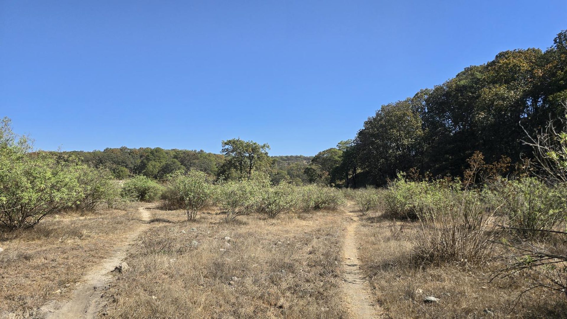
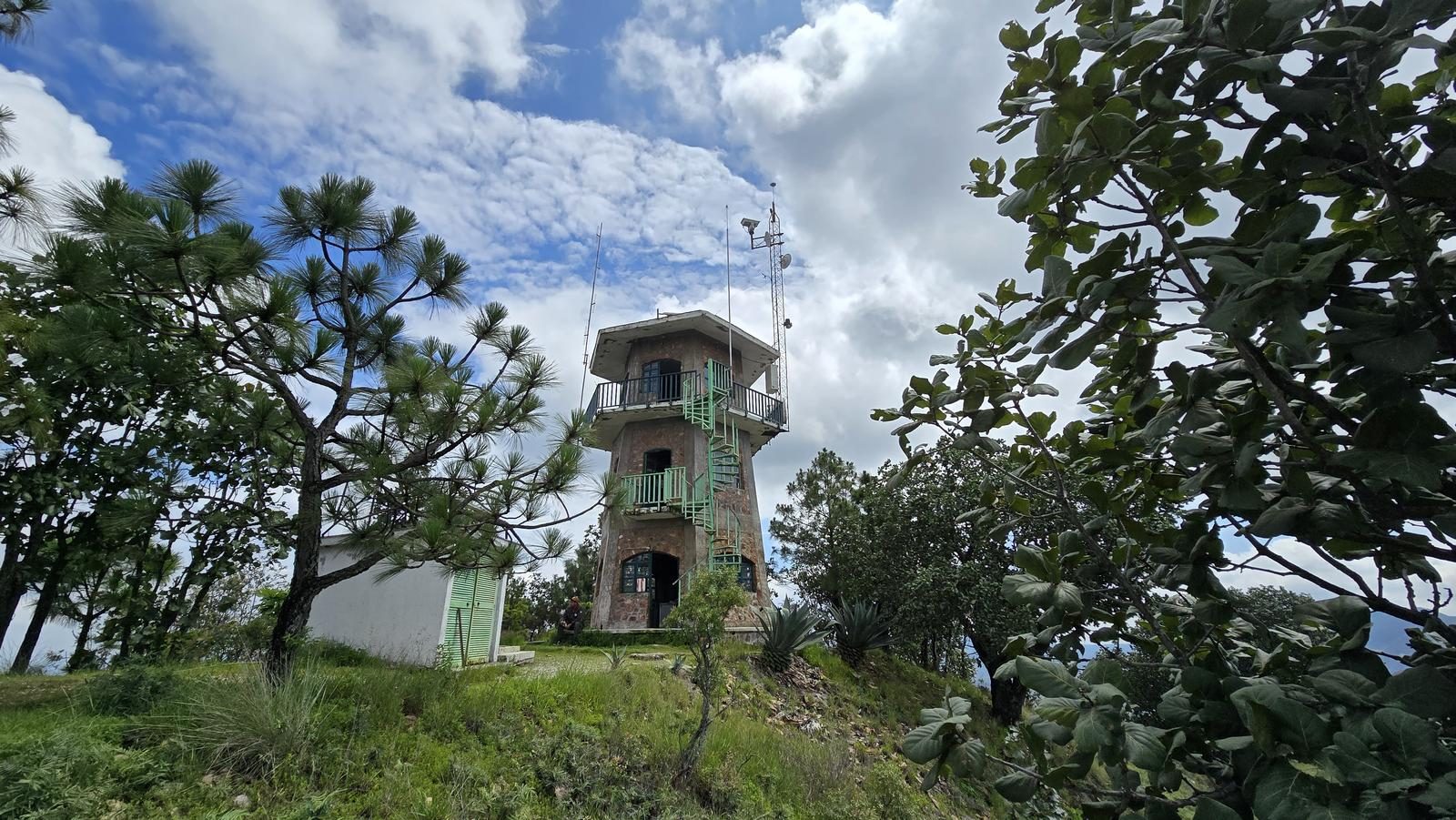
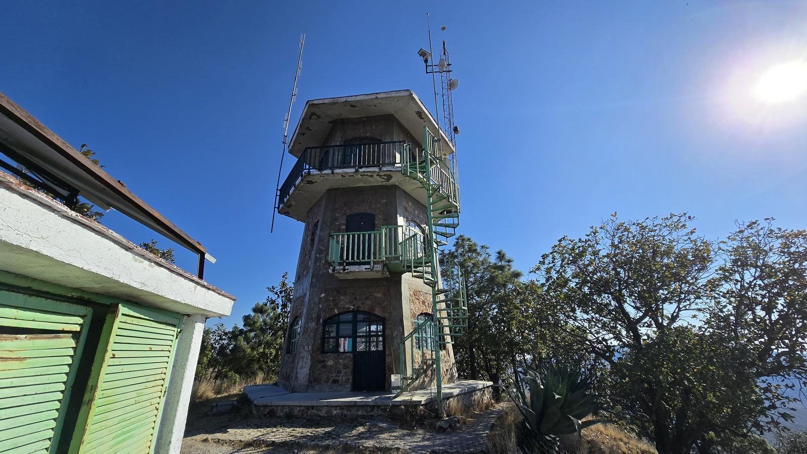
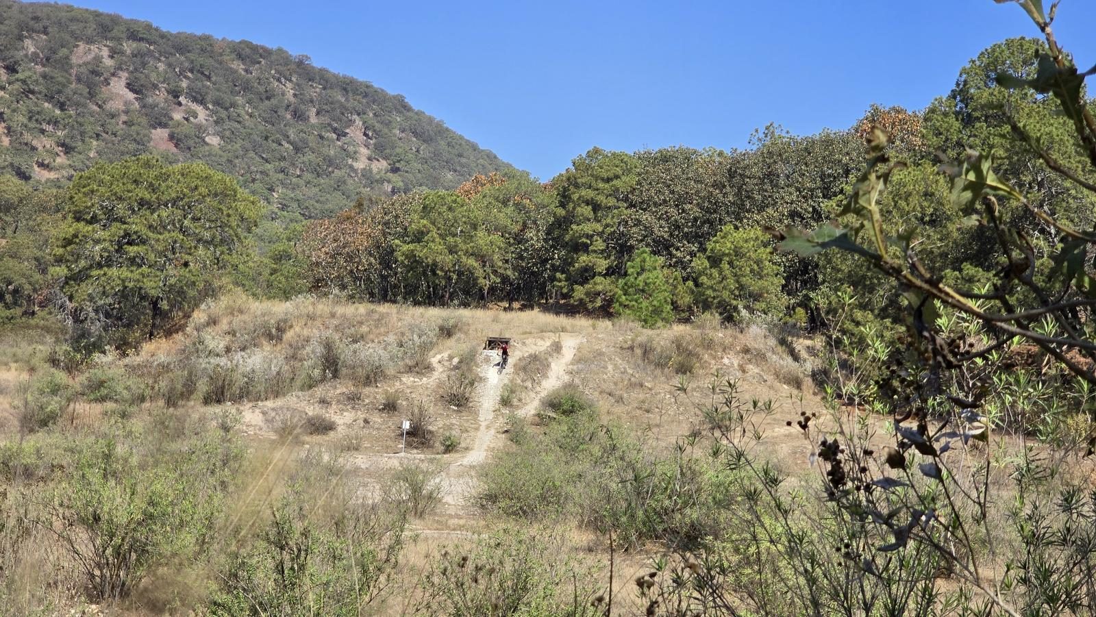
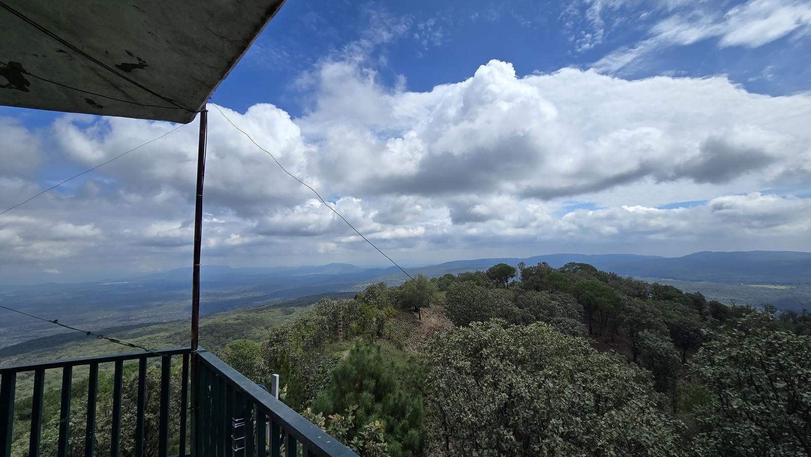
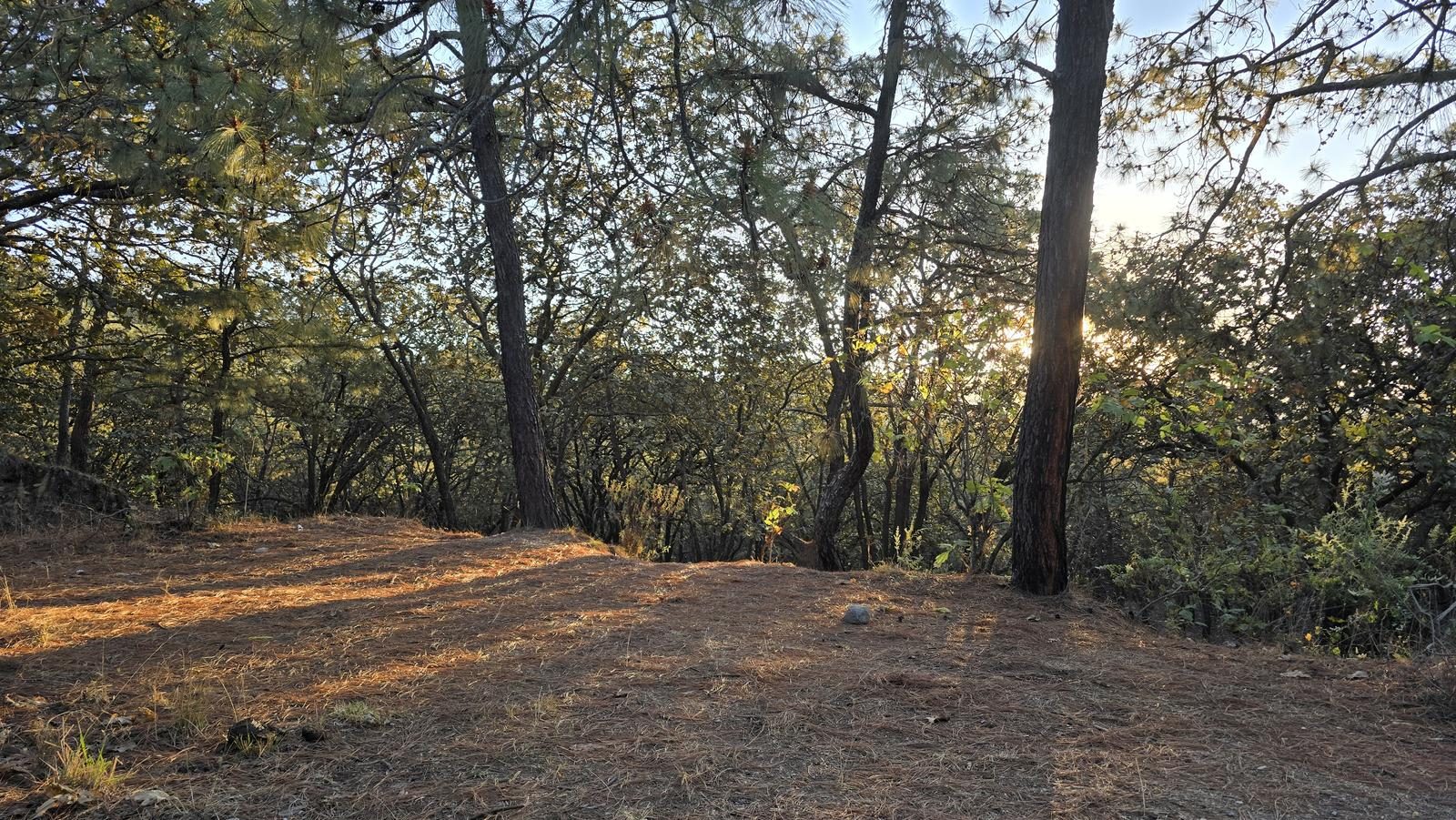
From Cerro de San Miguel, Torre 3 watches for fires across Bosque la Primavera. It's the farthest from the gate, sees few people and has no signal, so download the track.
📢 Alerts & Updates
This route can be done comfortably in any season of the year.
Level
i
Packing List
How to get there
Trailhead Access
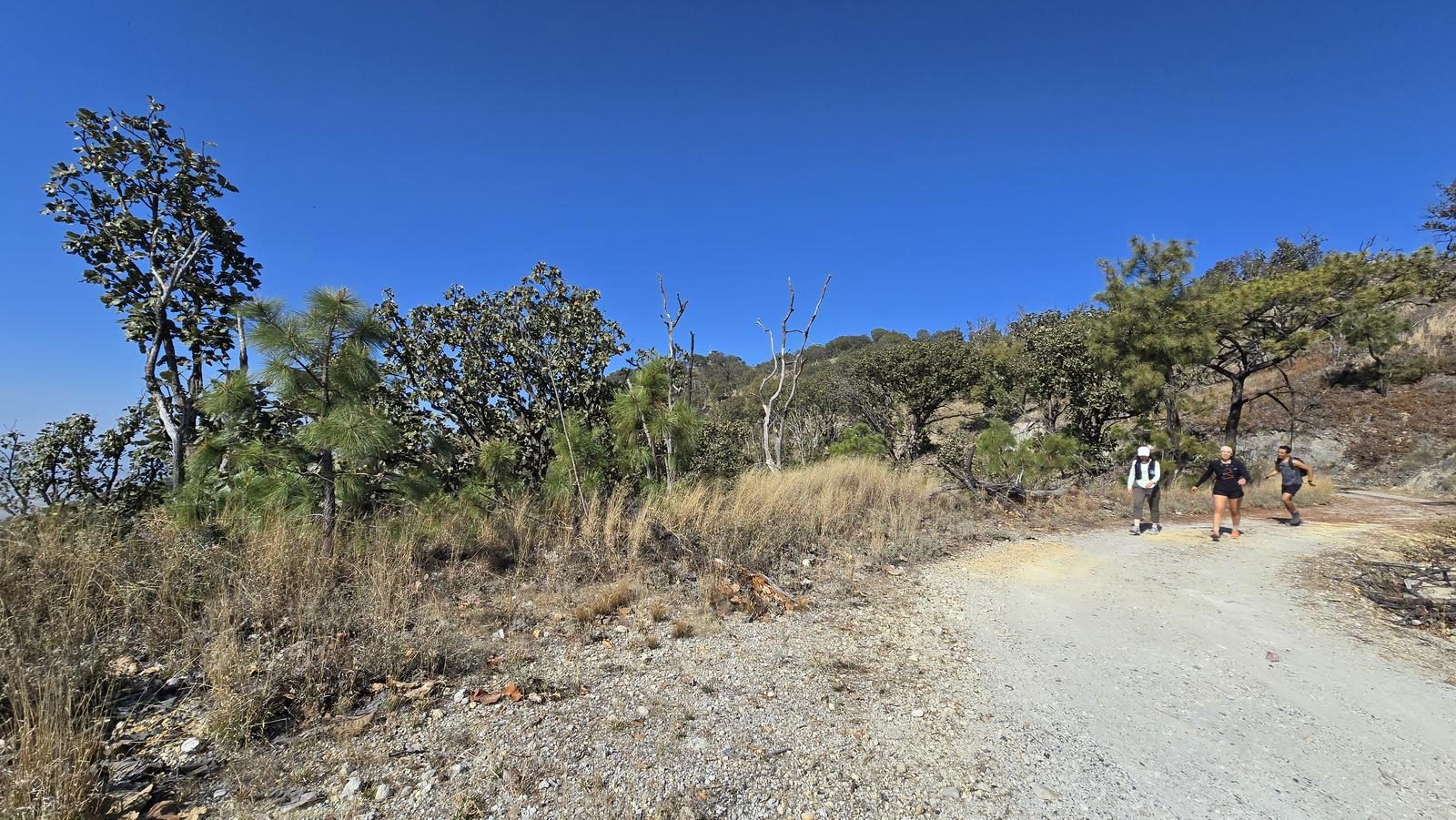
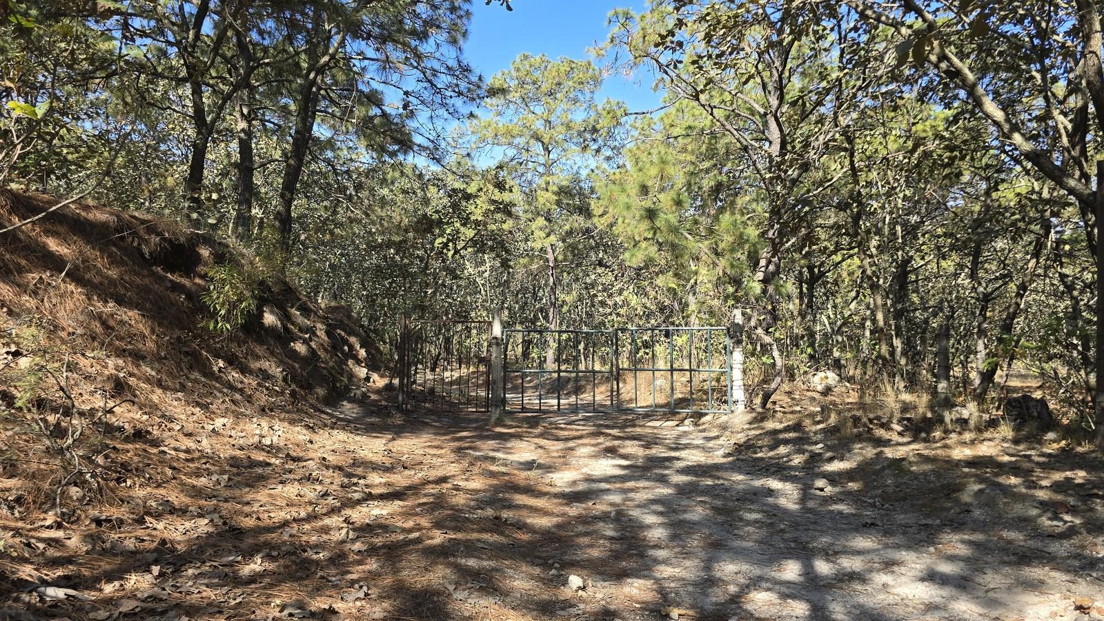
To get to the beginning of this route, we must access the La Primavera Forest, in the southern area of Jalisco. To get to the access booth, we walk along Prolongación Mariano Otero Avenue (to the south), which practically ends at the access booth to the park. After the booth, we will walk along a cobblestone road and then a worked (flat) earthwork. We will travel approximately 12.6 km from the booth to the starting point of the route. It's approximately 40 minutes from the dirt road, in the woods.
Parking Information
For this tour there is no established parking lot as such. Recently, park rangers told us that parking on the main road is not allowed. The closest official car park is the Checkpoint (approximately 6.5 km), so we recommend arriving at the start of the route by bike, asking for a ride there or considering walking for an additional 13 km, leaving the vehicle at Checkpoint.
Fees & Park Hours
February 2026: This route does not involve access costs.
Trail Overview
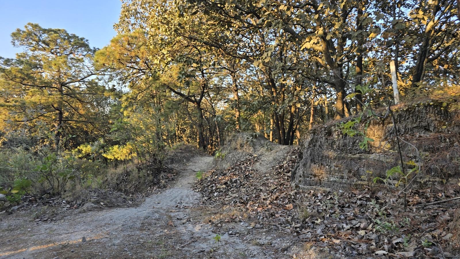
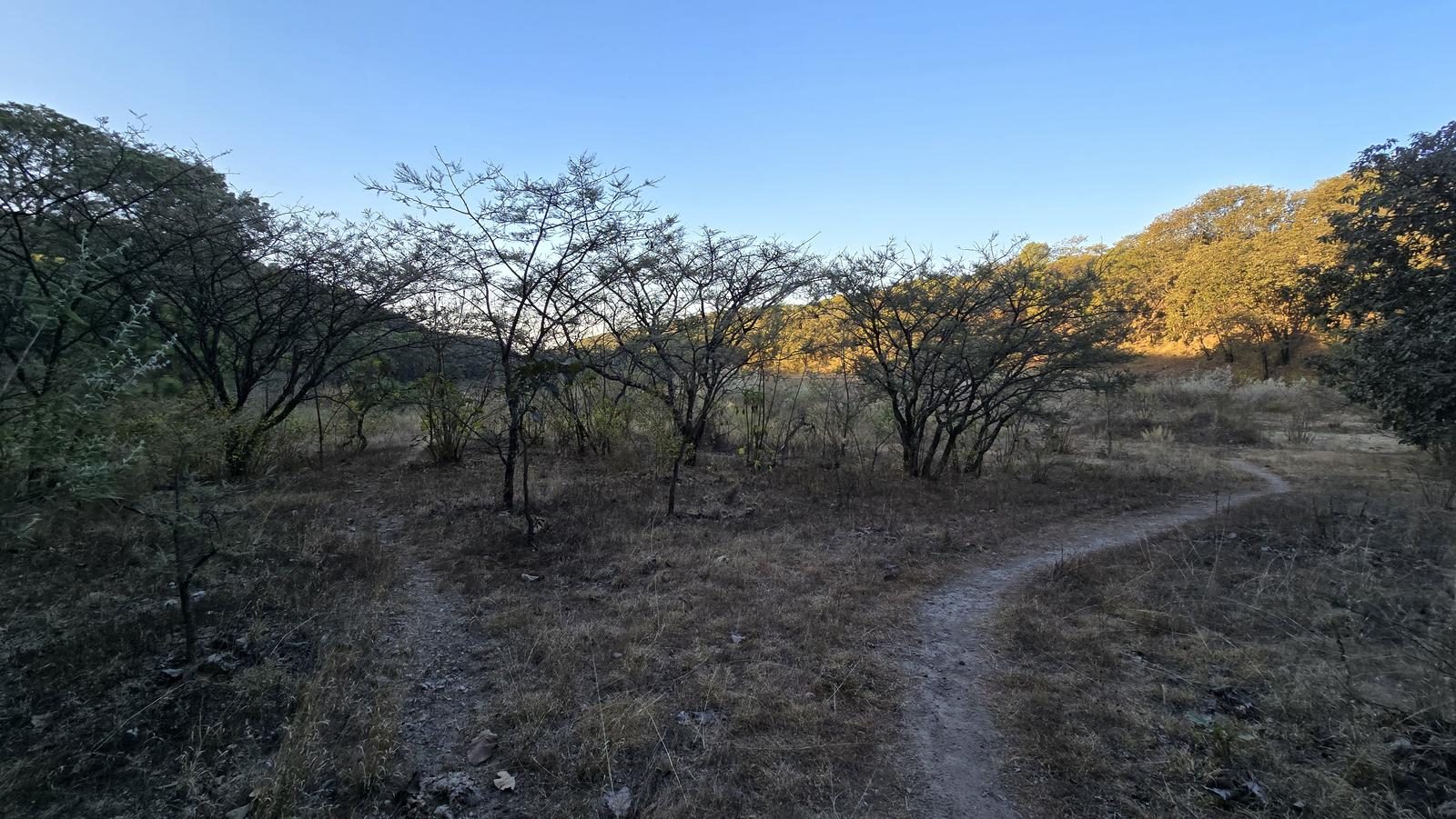
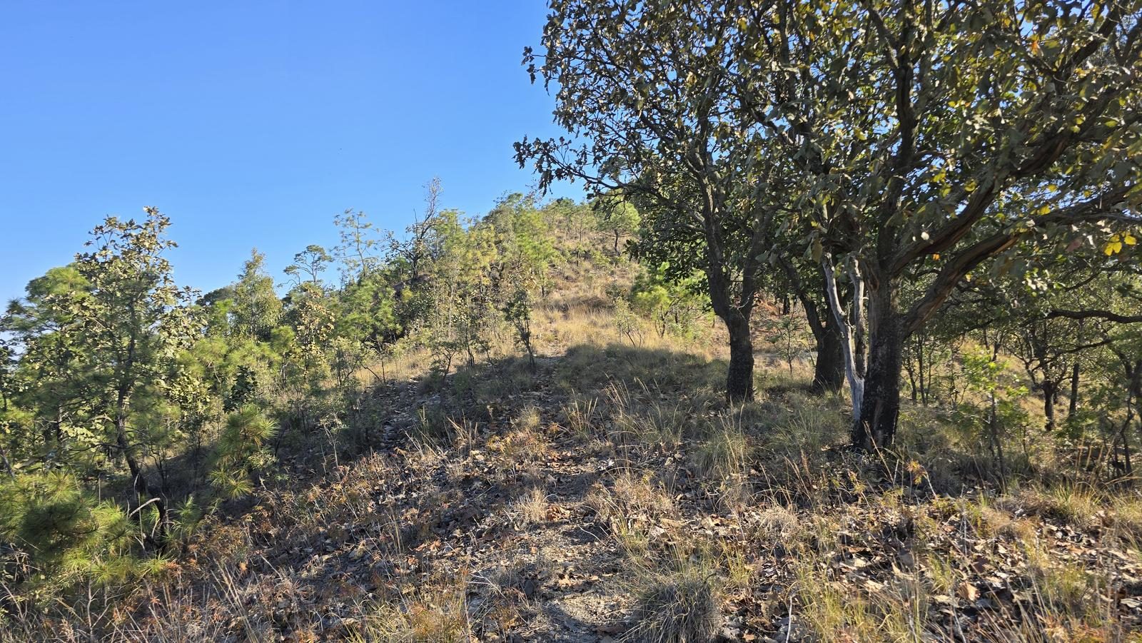
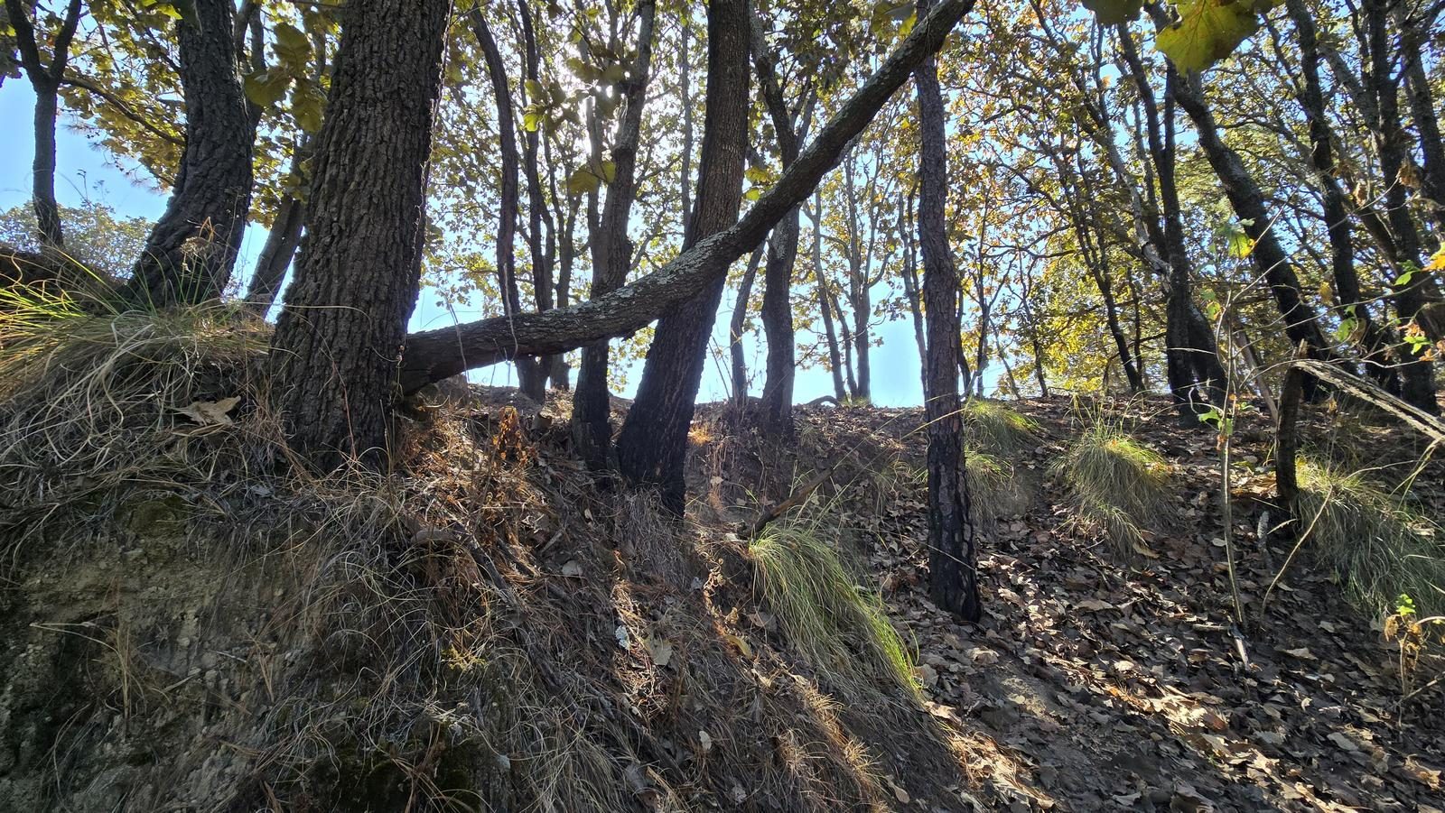
Moderate, as there are some sections where the path has yielded to vegetation. Also, it is not a very popular route because it is far from the access booth. With basic navigation skills and being aware of Wikiloc, it should be easy to follow the route.
Recommended Gear
- Hiking sticks - Hands free lamp (mining type) - External battery (PowerBank) - Sunscreen - First Aid Kit or First Aid Kit - Thermal blanket
Elevation Gain
480 m
Total Distance (Out & back)
12.33 km
Total Time
3 h 32 m
Max Elevation
2182 msnm
Route level 3 (scale from 1 to 10). It offers us approximately 480 m of positive elevation gain (ascent) in approximately 4 km of distance. In total, 12.3 km are covered (round trip), although almost 5 km are on uneven terrain (plateaus and steep slopes). It is a good option for trail running. It is worth mentioning that taking this tour in reverse offers us a more challenging experience.