
El Viejo
El Viejo
General Zaragoza, General Zaragoza
2200 m
28 km
14 h
3450 msnm
A weekend full of adventure in Zaragoza, visit the waterfall of El Salto and visit Cerro el Viejo.
Warnings


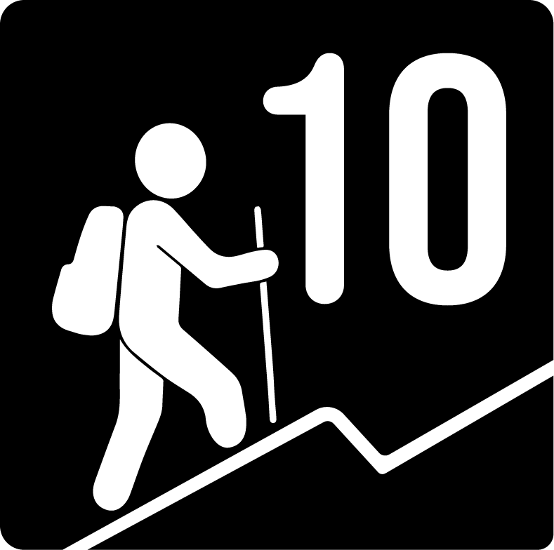
Level
i
Packing List
How to get there
Trailhead Access
To get to Zaragoza there are two alternatives: - The first consists of taking the national road to Santiago, passing Allende, Montemorelos and once you arrive in Linares, take the stretch to Iturbide. This is a slightly dangerous road that crosses a canyon and several very steep curves. However, this road crosses very beautiful areas, such as the mountainous area of Iturbide and Galeana, where at dusk a visual spectacle prevails for any lucky person who is not the driver and can afford to observe the immensity and beauty of these places. If you decide to take this route, there are no collection booths, but it's important to be focused and with a good copilot to guide the driver at all times. - The second alternative is to take the road to Saltillo, pass the Los Chorros collection booth and sail to Galeana on a road that is a completely linear, safer and more traveled road, as opposed to the road through Iturbide. You pass the San Roberto junction and drive for about 1 hour and 30 minutes until you reach Arramberri, a small town next to Zaragoza. This route is presented as the safest, busiest and, depending on the trip, the fastest, however, we must consider the costs of booths on this road.
Parking Information
The vehicle is parked in a kind of dry ravine on the side of the main “road” where it is important to be careful not to obstruct the entrances and exits of any private property.
Fees & Park Hours
The road from Linares-Iturbide to Zaragoza has no cost. On the other hand, the road from Saltillo to Zaragoza has several collection booths, such as the Saltillo booth, consider $130, the Los Chorros booth, consider $44 and an additional booth before arriving in Arramberri, consider $120.
Trail Overview
Although at the beginning of the route it is possible to see a marked path, along the route it is difficult to follow this path because the same vegetation hides it or because there are private properties in the middle of the route that make it impossible to follow the path. It is advisable to constantly check the Wikiloc and carry a portable battery so that you always have a battery.
Recommended Gear
Because this is a remote area, it is essential to carry a satellite telecommunication system, a first aid kit, a headlamp and a whistle to ensure safety and communication in the event of an emergency.
Elevation Gain
2200 m
Total Distance (Out & back)
28 km
Total Time
14 h
Max Elevation
3450 msnm
According to our nomenclature, this route has a level of physical difficulty of grade 10, which means that it is one of the most demanding routes in the region, with an approximate slope of 2,150 meters. Traveling this route involves both a mental and physical challenge where you travel around 24 round kilometers and where this adventure would take approximately 14 hours in total, depending on the pace of the group.