
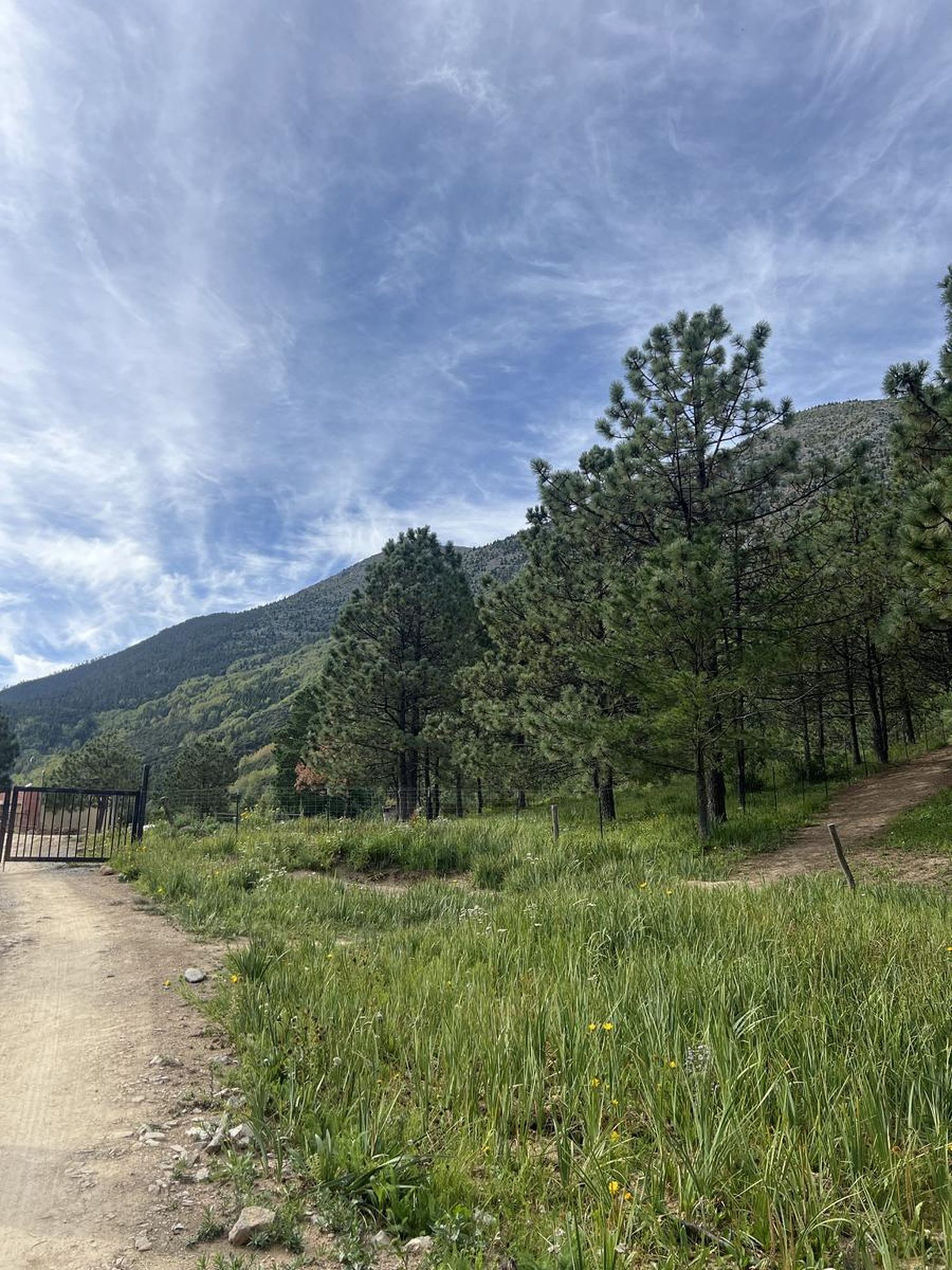
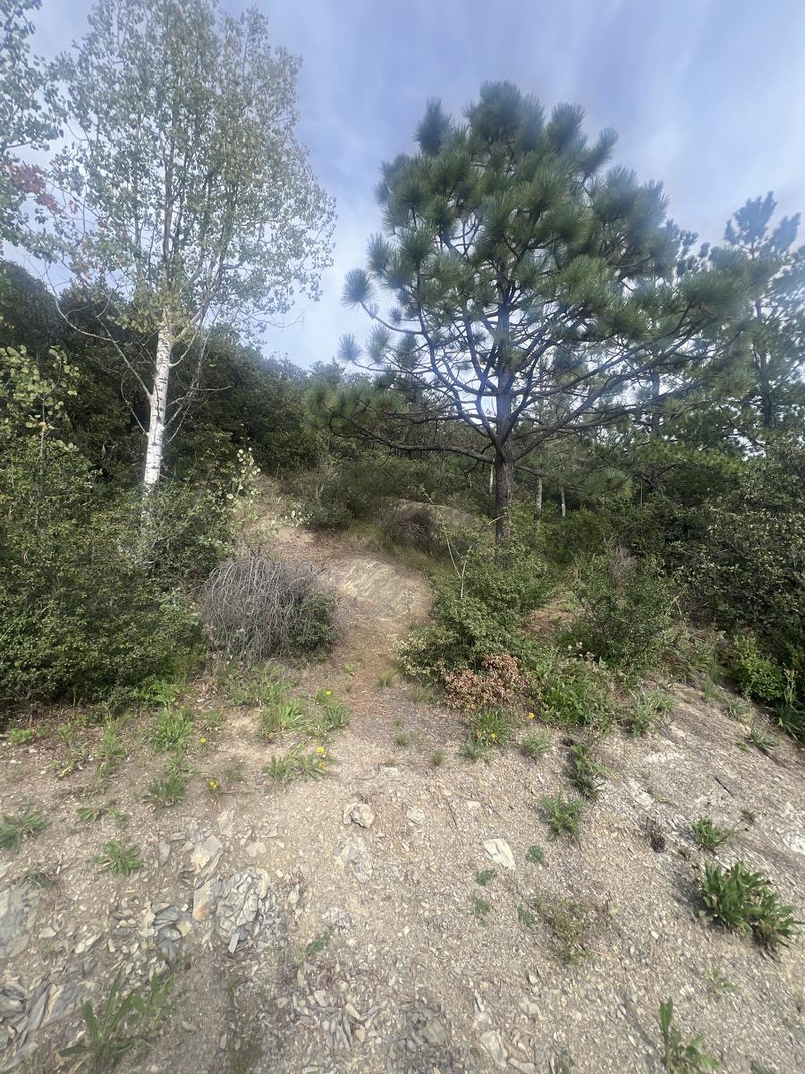
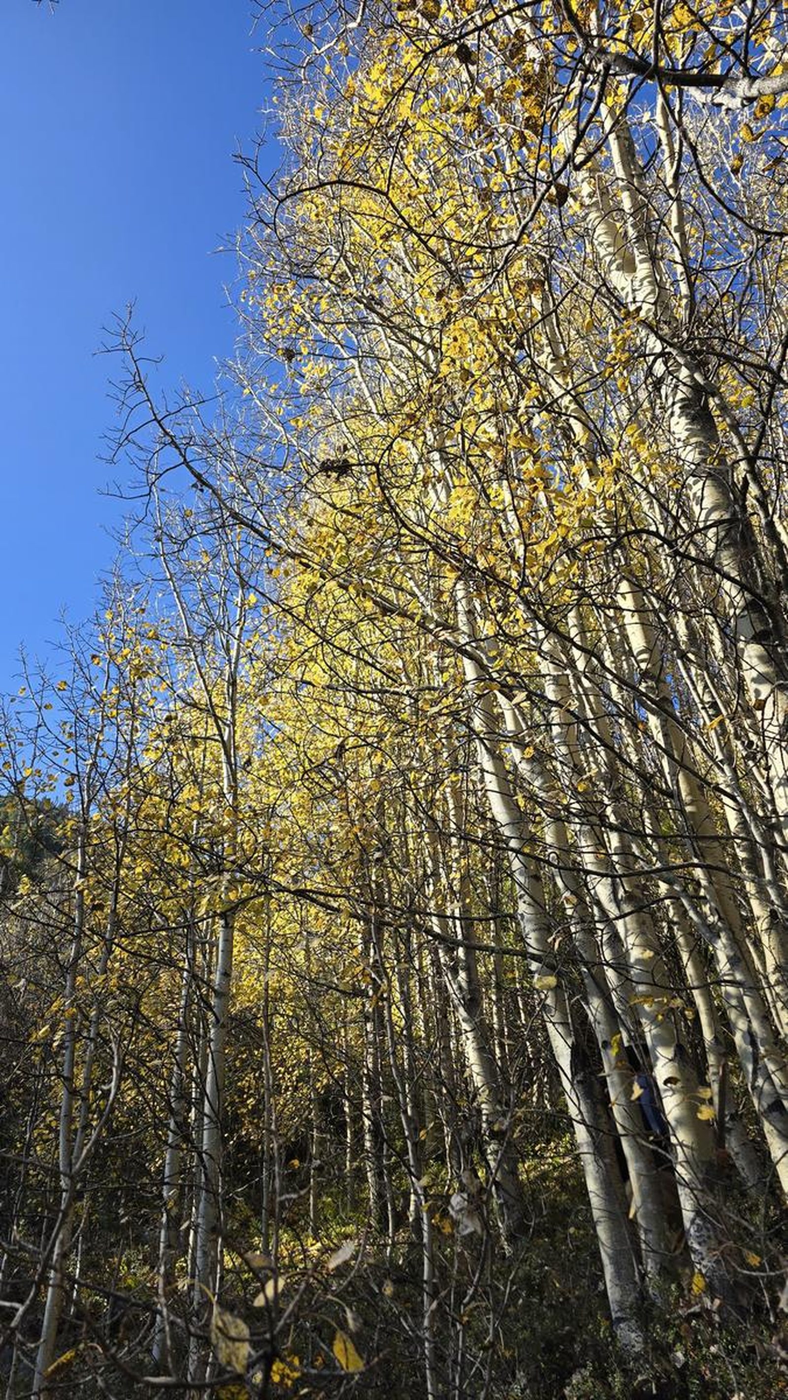
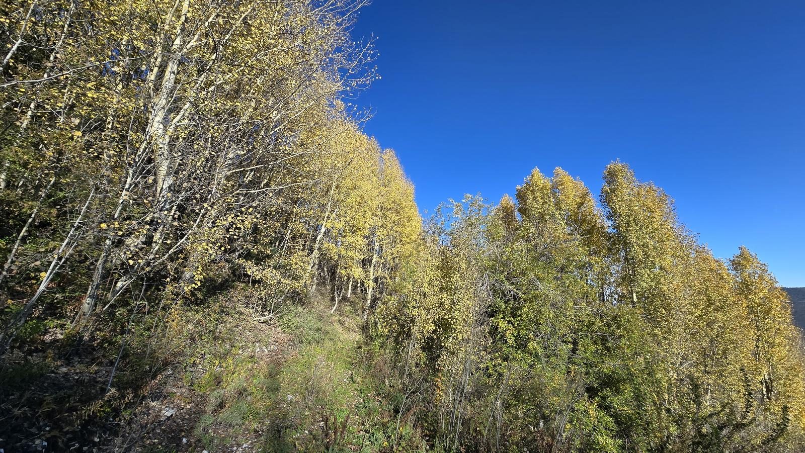
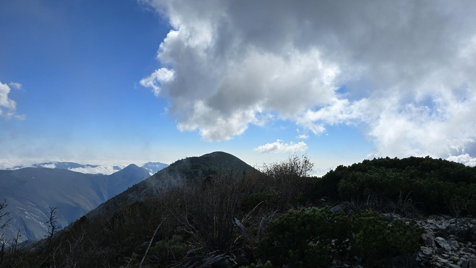
Cumbre la Moneda, Arteaga
Sierra de Arteaga
Zone: Sierra de Arteaga, Coahuila
- Elevation gain
- 2864 ft
- Distance
- 2.4 mi
- Time
- 2 h 19 m
- Altitude
- 12116 ft
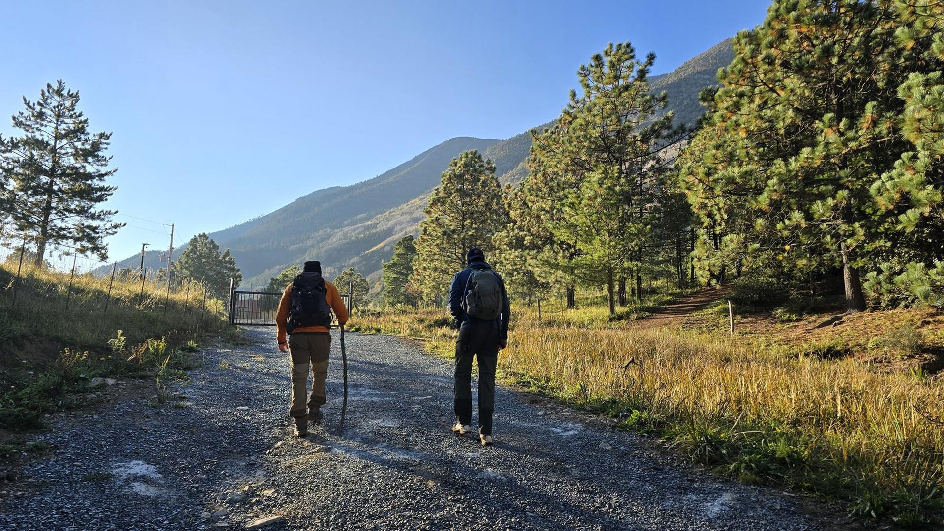
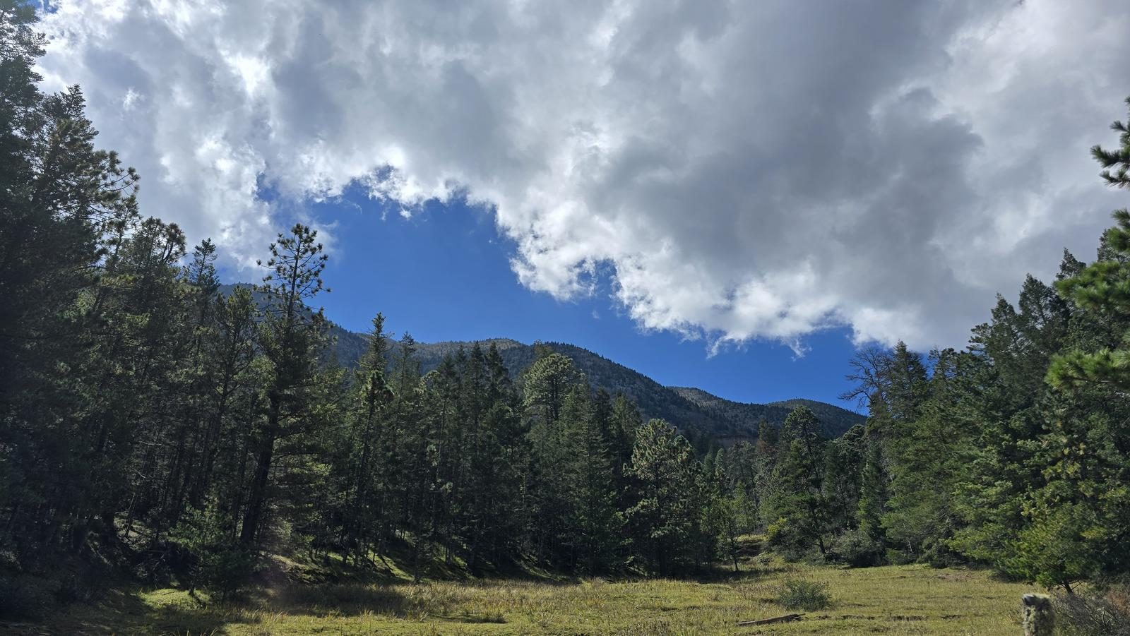
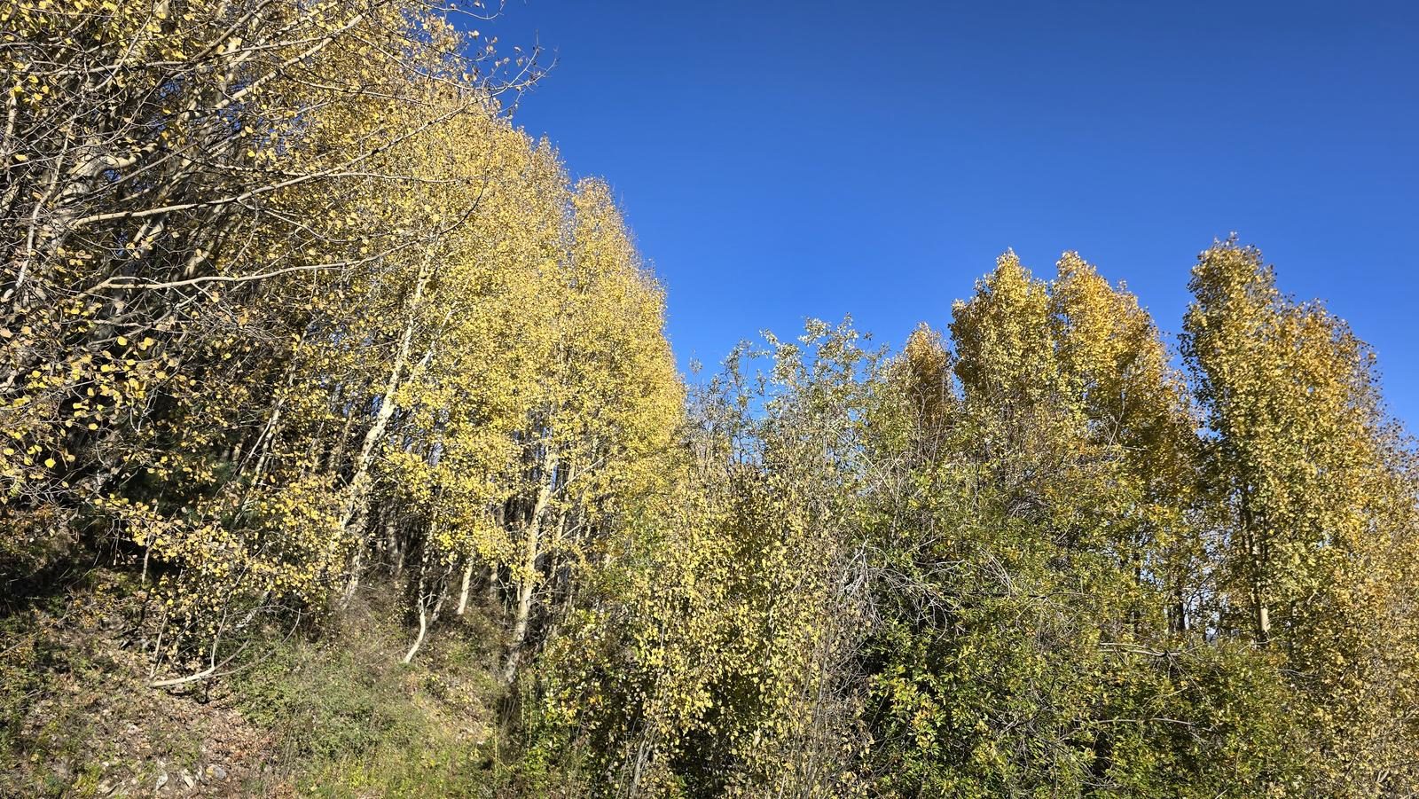
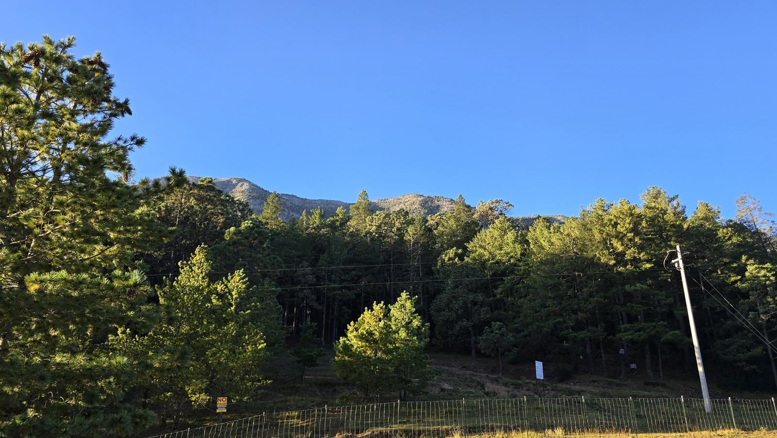
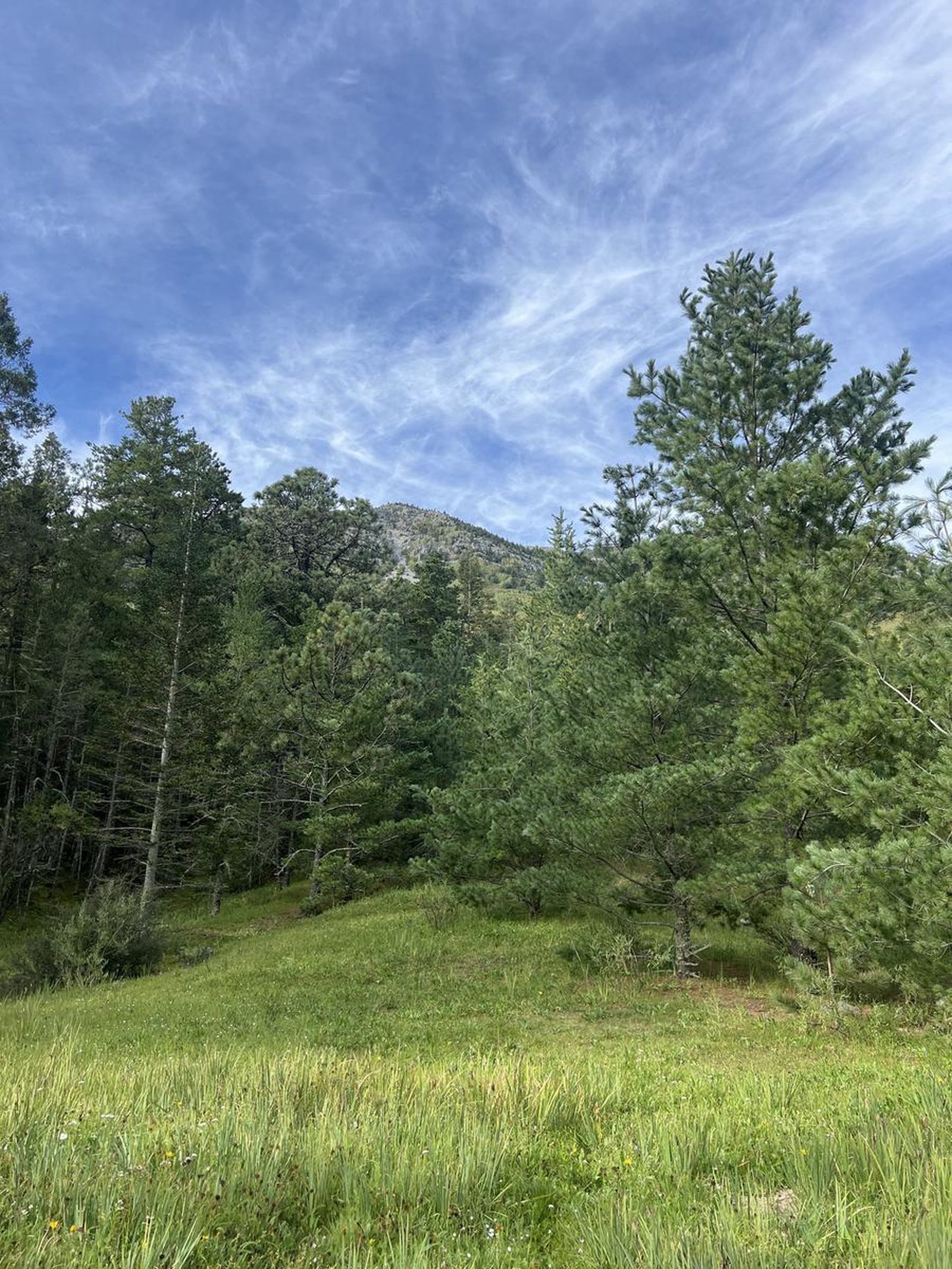
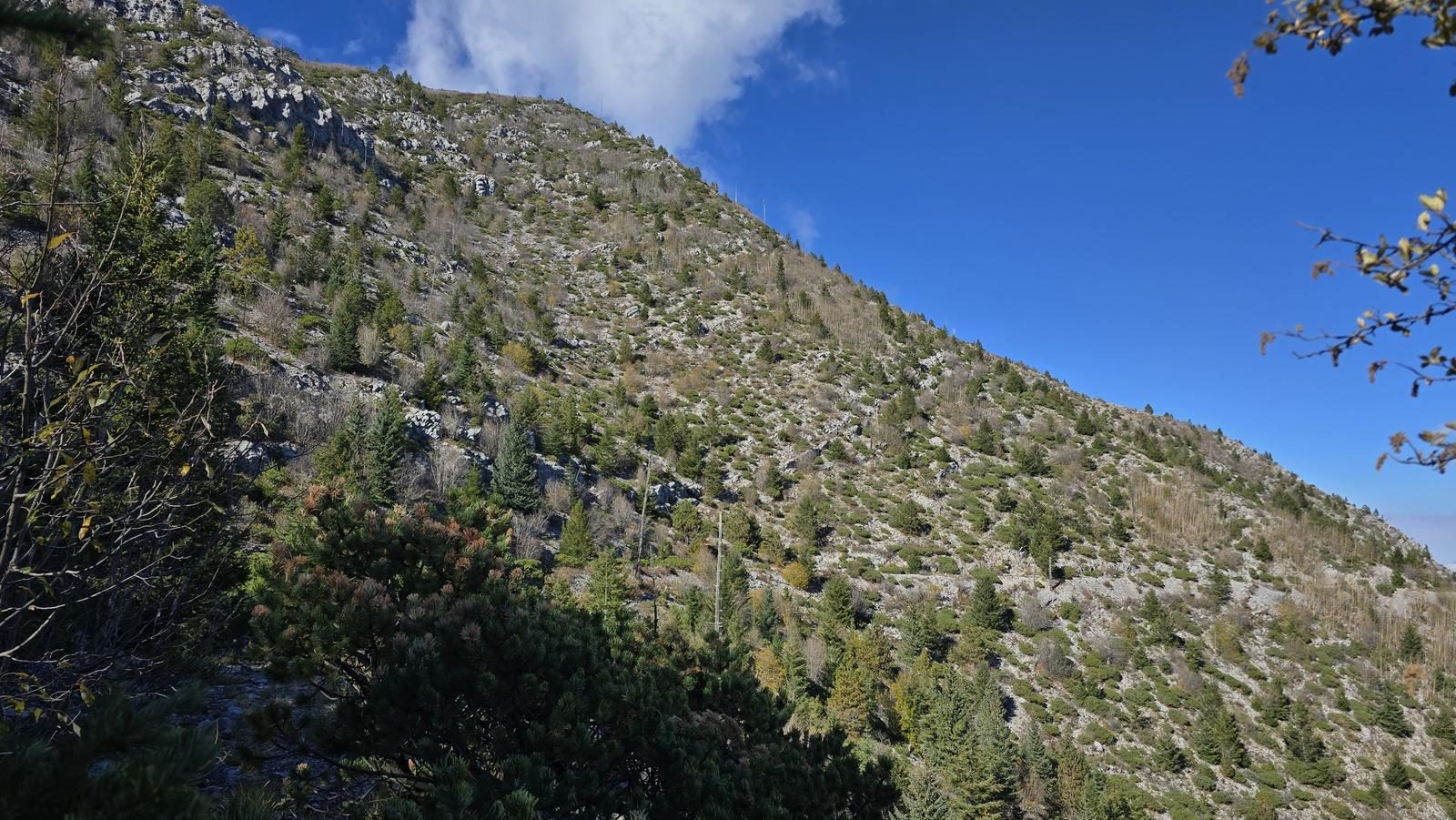
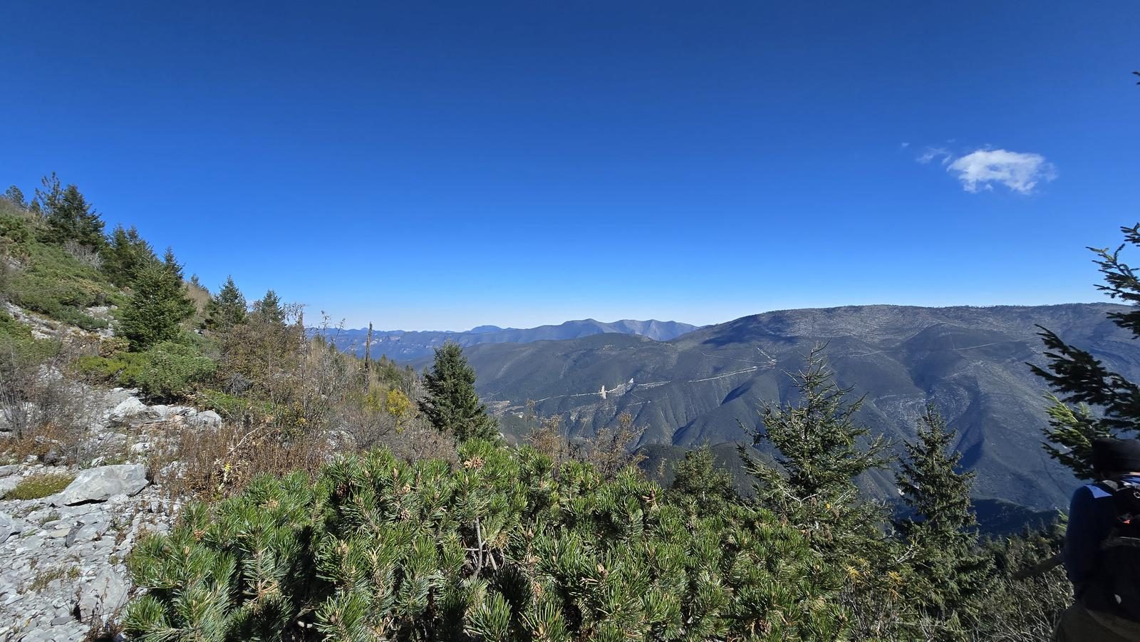
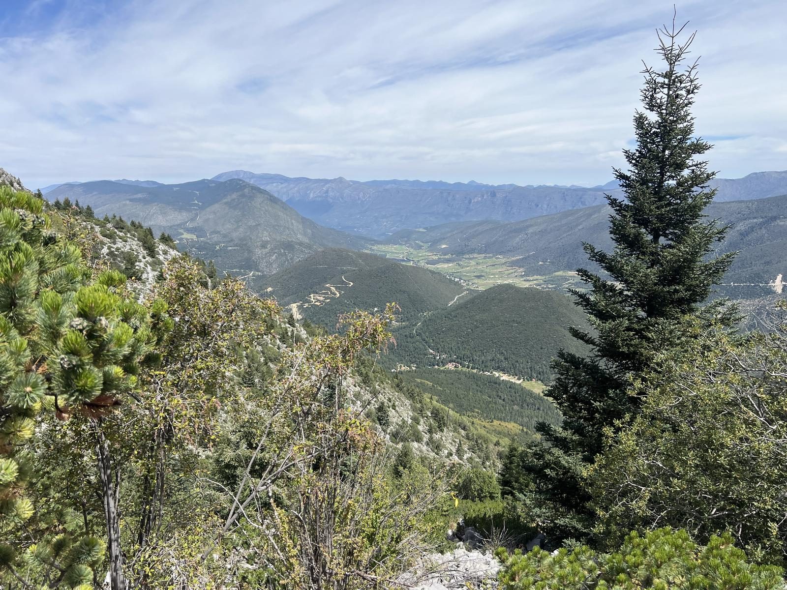
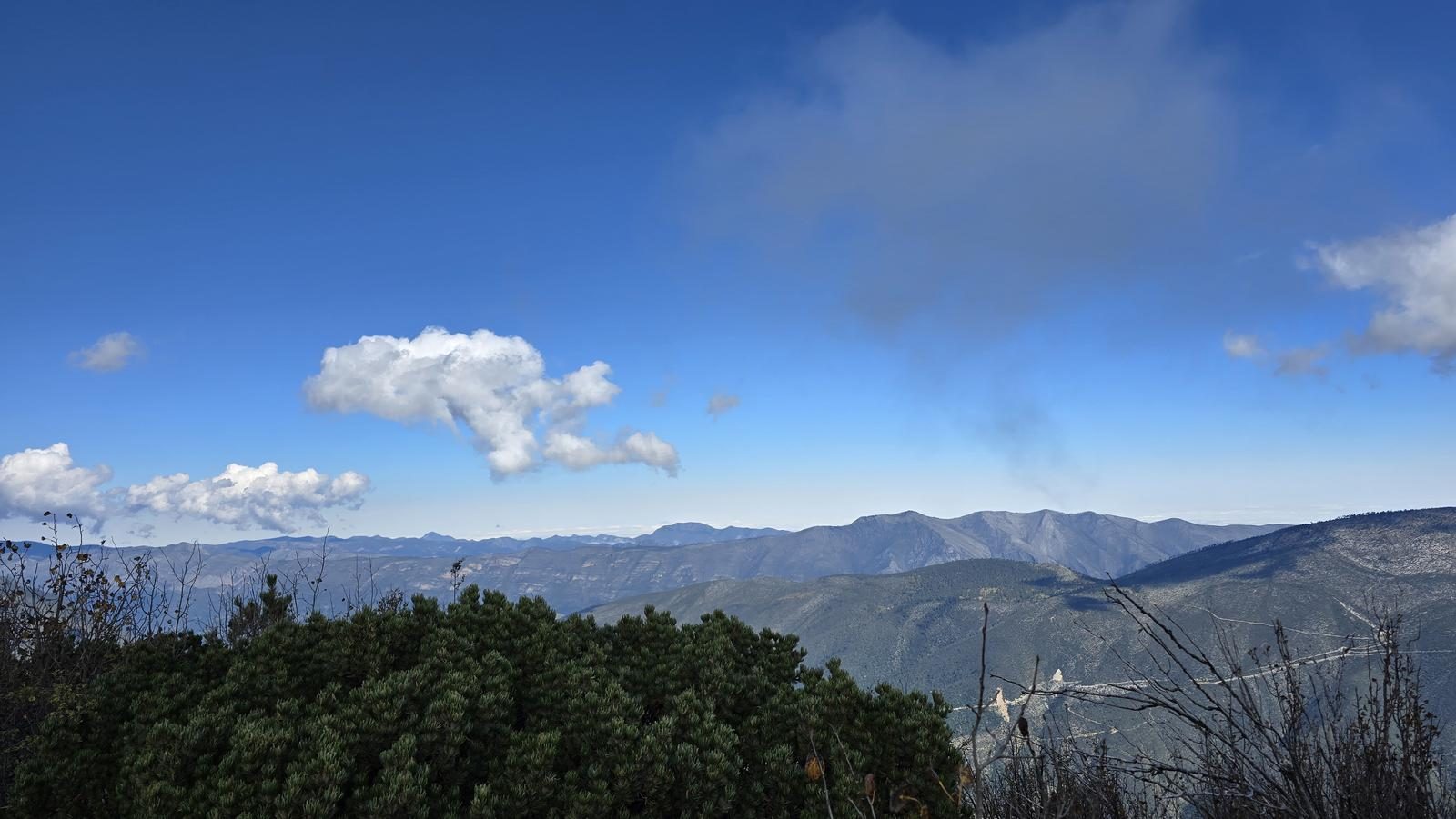
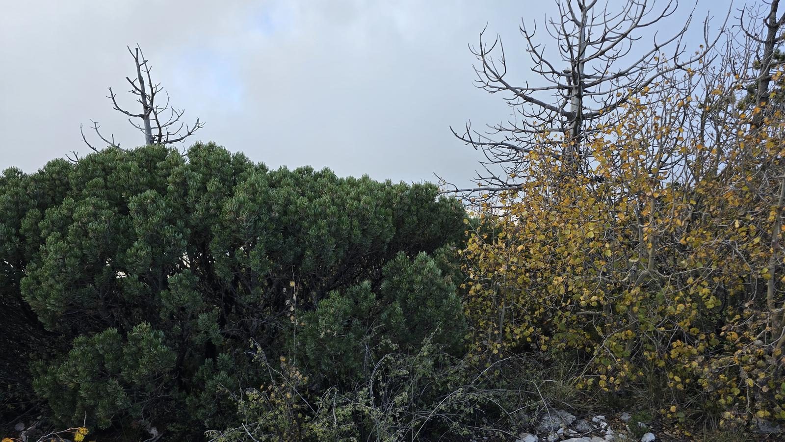
The Sierra de la Marta belongs to the municipality of Arteaga, Coahuila. Known for its flamboyant yellow colors during the fall and its year-round green wooded area, it is a unique trail in northeastern Mexico.
📢 Alerts & Updates
The most popular season is just before fall, as tree leaves begin to change color. Keep in mind that it is an area with a lot of vegetation and in the spring season for people with allergies they may have complications. In autumn and winter, we suggest considering that temperatures tend to be in single digits (between -9 and 8°C). You should always take into account the weather forecast one day before taking your tour.
Warnings

Level
i
Packing List
How to get there
Trailhead Access
Starting from downtown Monterrey, take the highway/highway to Saltillo and eventually we'll leave for Matehuala. We will pass the Carbonera booth and the tunnels known as “Los Chorros”. Soon after, we will leave for San Antonio de las Alazanas. We will pass through this town and continue straight on to reach Bosques de Monterreal. Soon after this resort, we will be arriving at the beginning of the route. Depending on traffic, it's a road trip of approximately two and a half hours.
Parking Information
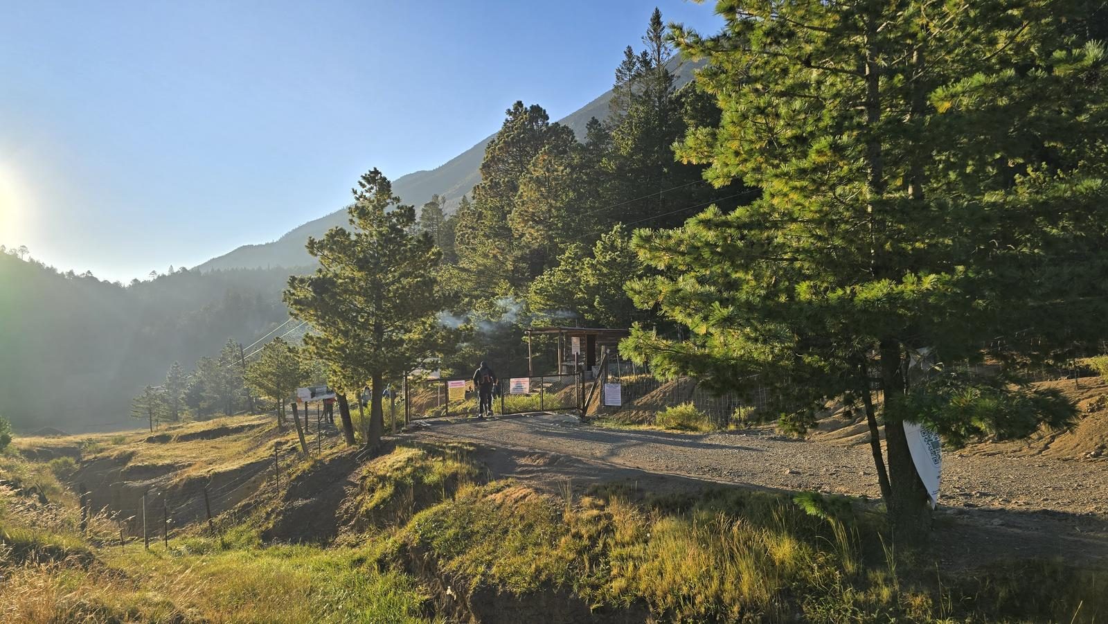
It has a large dirt lot. The exact parking spot can be found on Google Maps as “Secondary Forest”, which is also the starting point described in this review.
Fees & Park Hours
The cost is $50 pesos.
Trail Overview
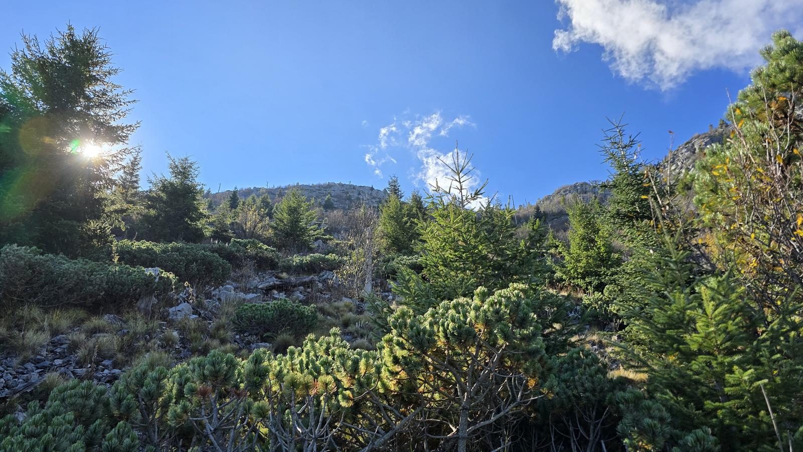
As it is a land with a lot of vegetation and unstable stones, you should pay close attention to signs such as mounds of stones, strips (yellow in color) and signs that will show you the way to follow.
Recommended Gear
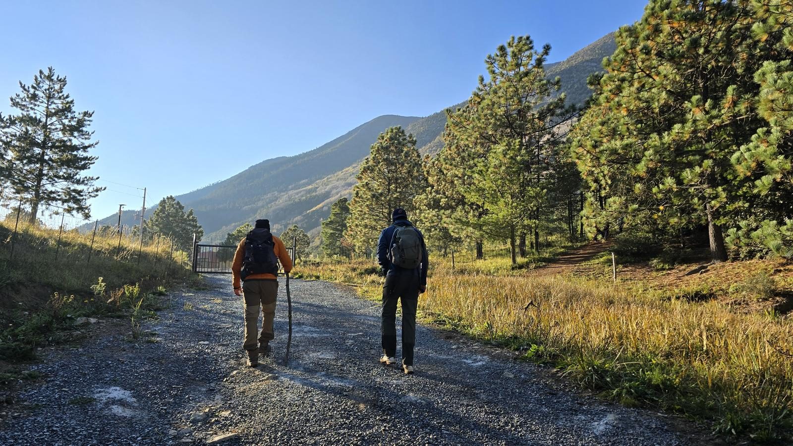
- Hands free lamp (mining type) - Hiking sticks - Thermal blanket - External battery (PowerBank) - Sunscreen - Insect repellent - First aid kit - Gloves to protect your hands during the tour
What to Expect on the Trail
i
Elevation Gain
873 m
Total Distance (Out & back)
3.88 km
Total Time
2 h 19 m
Max Elevation
3693 m a.s.l.
The physical difficulty of this route is level 5. It is a demanding route, with a steep and constant slope along the entire length of the route, unlike the more traditional routes in this mountain range, which tend to be longer. The route has an approximate slope of 870 meters above sea level, which are completed in about 6 hours and 30 minutes round trip, depending on the pace of the group.

