
Pico del Agua

Pico del Agua
Reserva Natural Cerro de las Mitras, Santa Catarina
740 m
6 km
4 h
1500 msnm
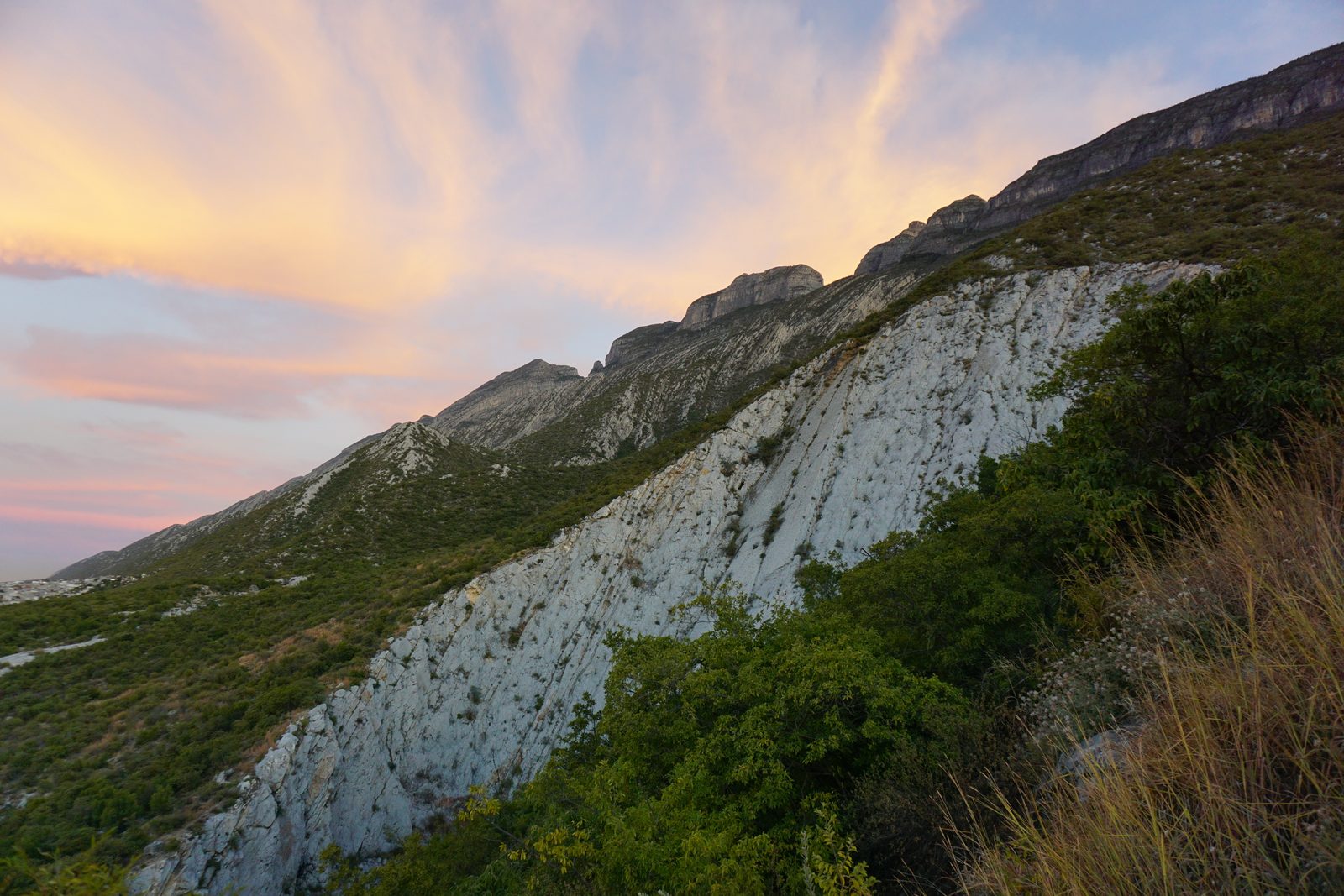
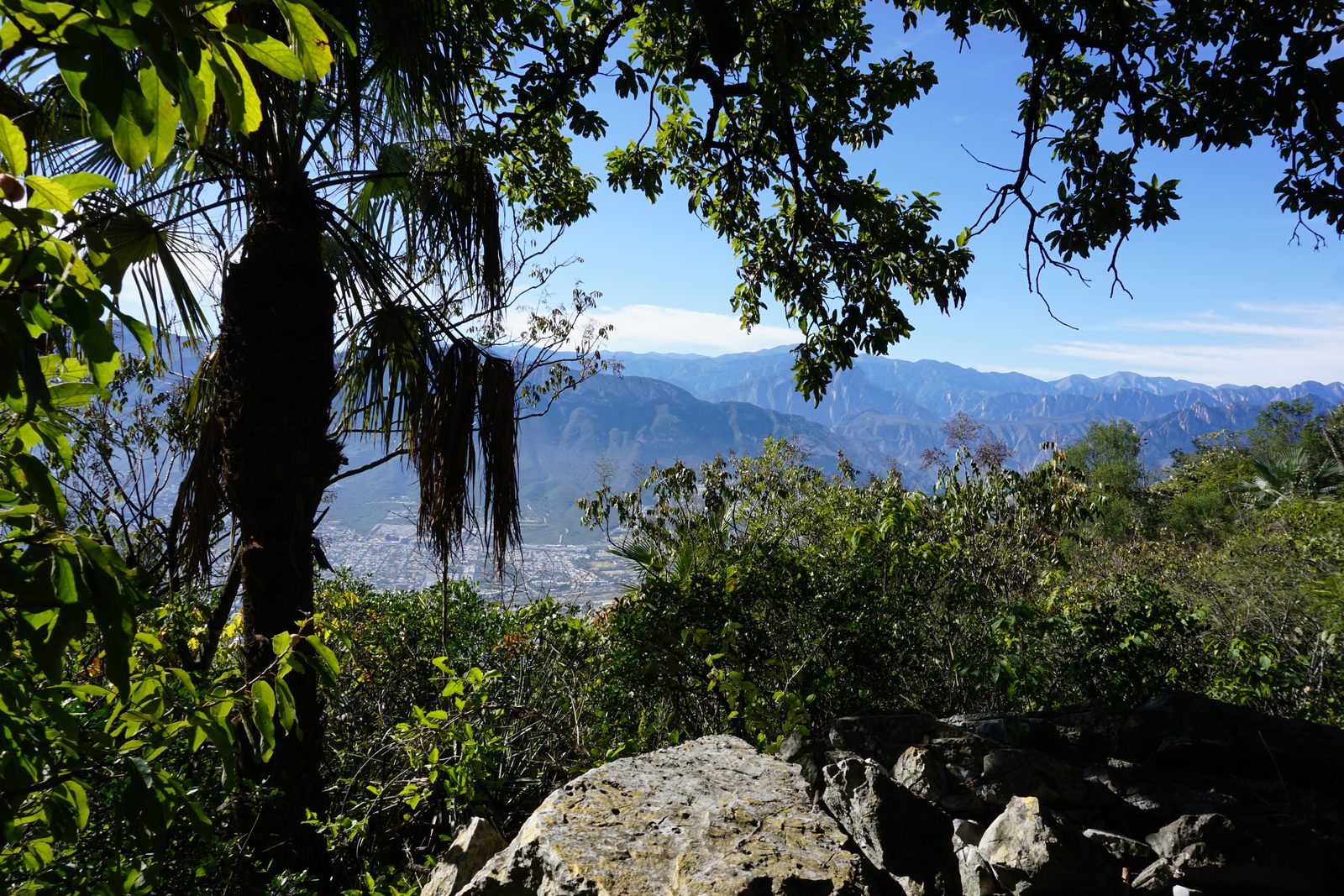
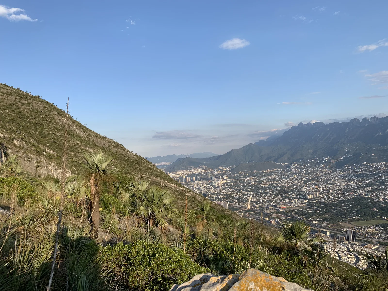
Pico del Agua is the most accessible summit of Cerro de las Mitras. This trail offers views of the entire metropolitan area.
Warnings


Level
i
Packing List
How to get there
Trailhead Access
The start of the route is in the San Pedro 400 neighborhood. To get to this neighborhood from the center, we have to go all the way along Constitution Avenue until it merges with Diaz Ordaz Avenue. Arriving at the intersection with Av Corregidora, we turn north (towards the hill). Soon after, we turned left at Av Manuel Clouthier. A couple of blocks later, we turn right on Avenida División del Norte (Platino Street). After Vista Montaña Park there is Batallones Rojos Street, where we turn right. From here, we can start looking for parking, since the space at the beginning of the sidewalk is very small. The beginning of the village is on Pedro Reyes Zúñiga street.
Parking Information
There may be space for one or two cars at the beginning of the sidewalk, but the recommendation is to park in the Vista Montaña park to avoid any conflict with the neighbors, since the space on that street is very small.
Fees & Park HoursN/A
Trail Overview
Definitely, there are not many variants on this route and the GPS signal is good, so the route to follow is quite clear. At the beginning there are two routes where one of them contains a lot of thorns, make sure you take the clearer path. There is also little sign along the road, only some stones are marked with arrows.
Recommended GearN/A

Elevation Gain
740 m
Total Distance (Out & back)
6 km
Total Time
4 h
Max Elevation
1500 msnm
Based on our nomenclature, this is a level 4 route since there are almost 750m of positive slope on a route of approximately 2.4 km in length (climbing). Level 4 of physical difficulty covers a range of 600m and 800m of positive slope.