
Pico Perico
Pico Perico
Reserva Natural Cerro de las Mitras, Monterrey
1181 m
7.7 km
7 h
1989 msnm
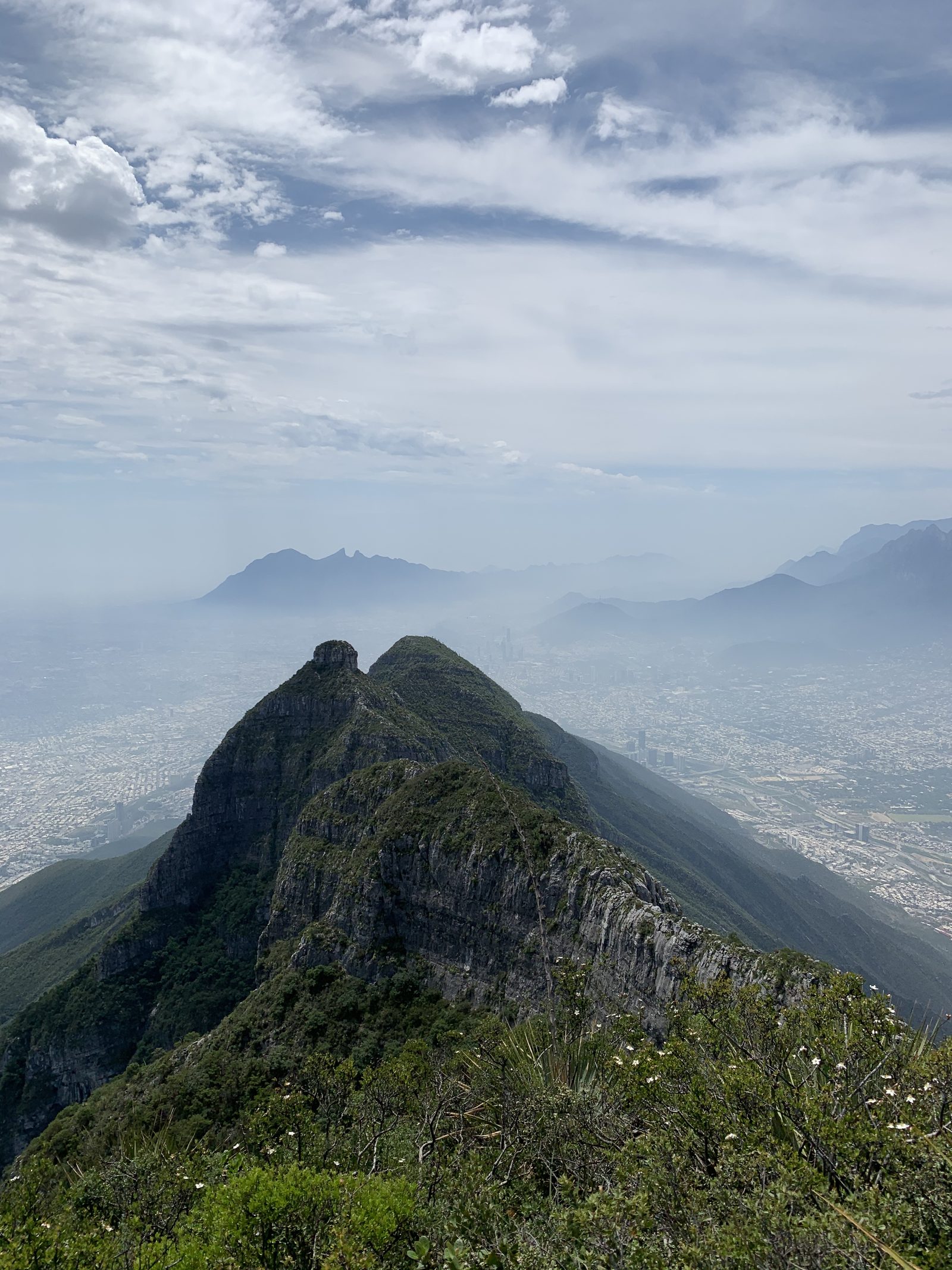
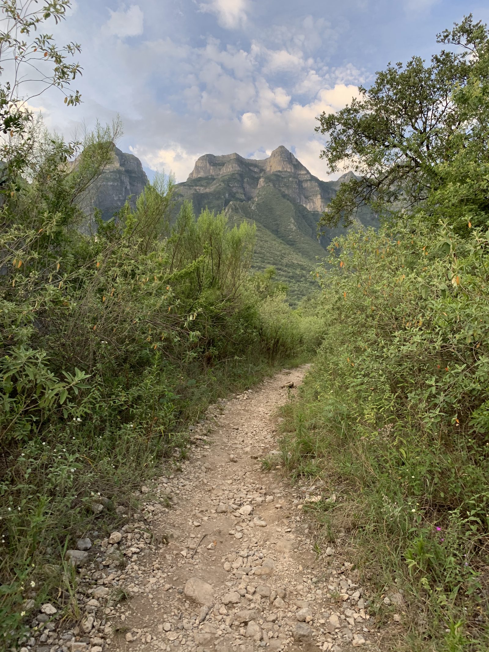
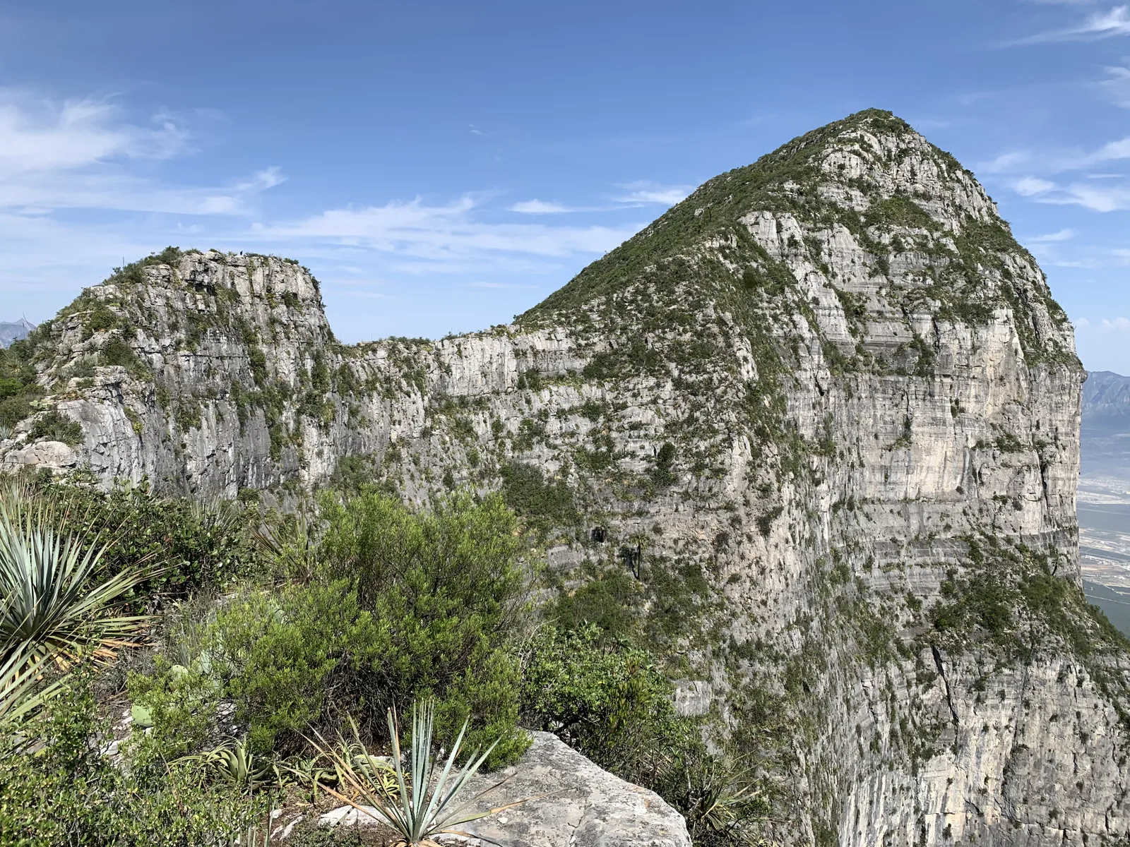
Pico Perico is one of the many “miter-shaped” peaks on the hill of Las Mitras. This trail is very varied and very technical.
Warnings


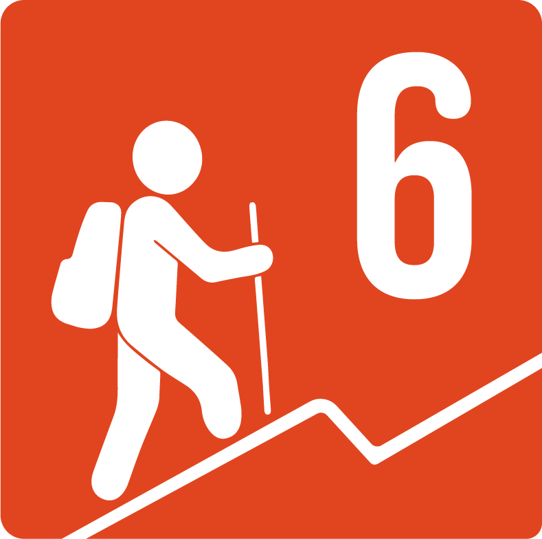
Level
i
Packing List
How to get there
Trailhead Access
Driving along Los Leones Avenue at the height of Plaza Cumbres, take the Seville exit to Richard E. Byrd Avenue, turn right until the end of the avenue, and finally, turn left until you reach the Instituto Regiomontano.
Parking Information
There is sufficient parking along the sidewalk of Pedro Infante Street, the recommendation is to arrive early in the morning to avoid traffic.
Fees & Park HoursN/A
Trail Overview
It is very popular and very well traced, just remember the 4 intersections that we pointed out on the Wikiloc map: - Trail to Pico Cuauhtémoc 5 minutes from the start (take the road on the left). - Trail to the mines (now on the right) - Trail to Pico Cuauhtémoc again (go up the sandblaster). - Puerto Pico Perico and Pyramid (left Perico and right Pyramid).
Recommended Gear
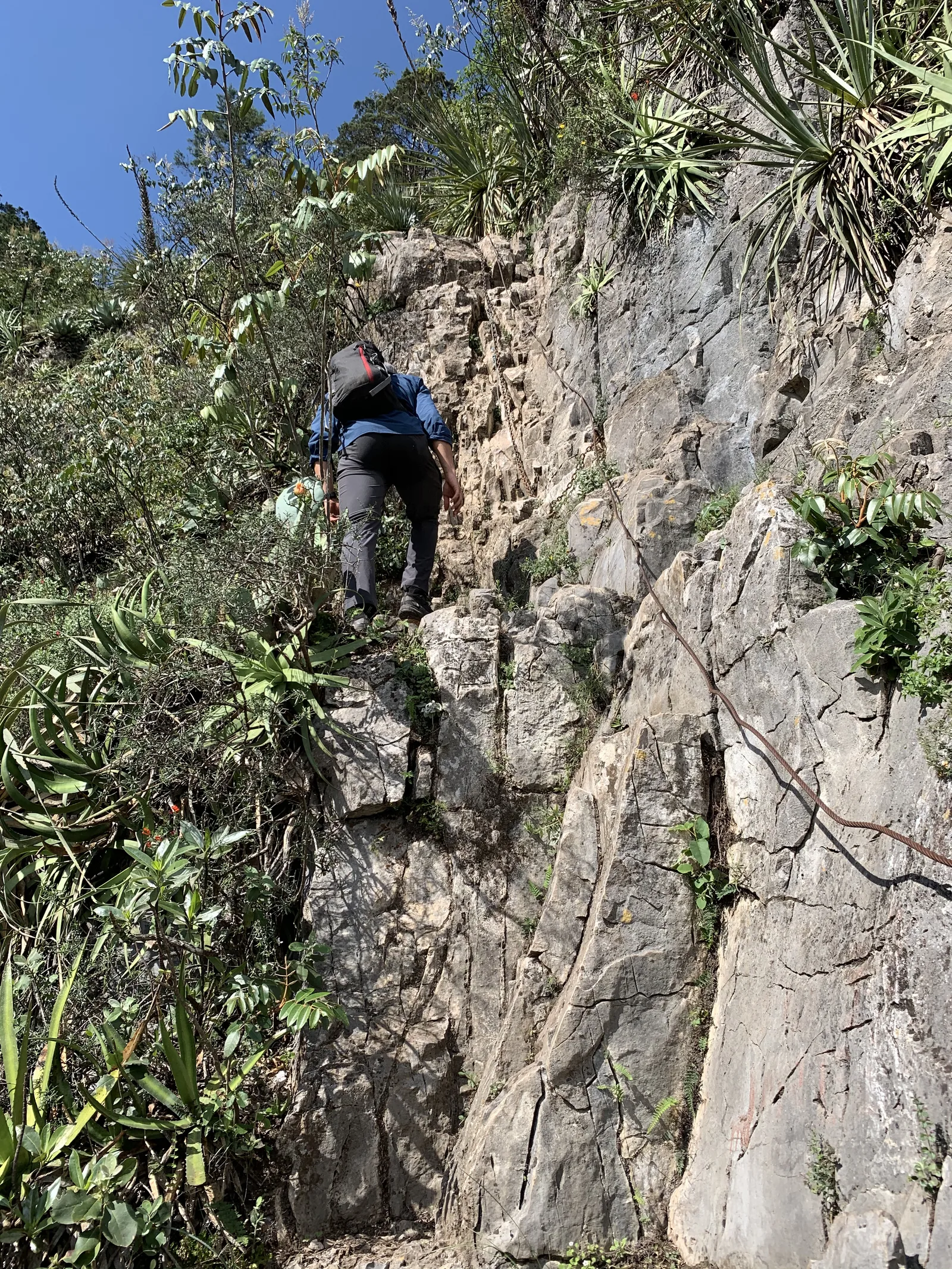
First aid kit, emergency whistle, thermal blanket, helmet, headlamp, band or small rope to support the chain area, canes.
Elevation Gain
1181 m
Total Distance (Out & back)
7.7 km
Total Time
7 h
Max Elevation
1989 msnm
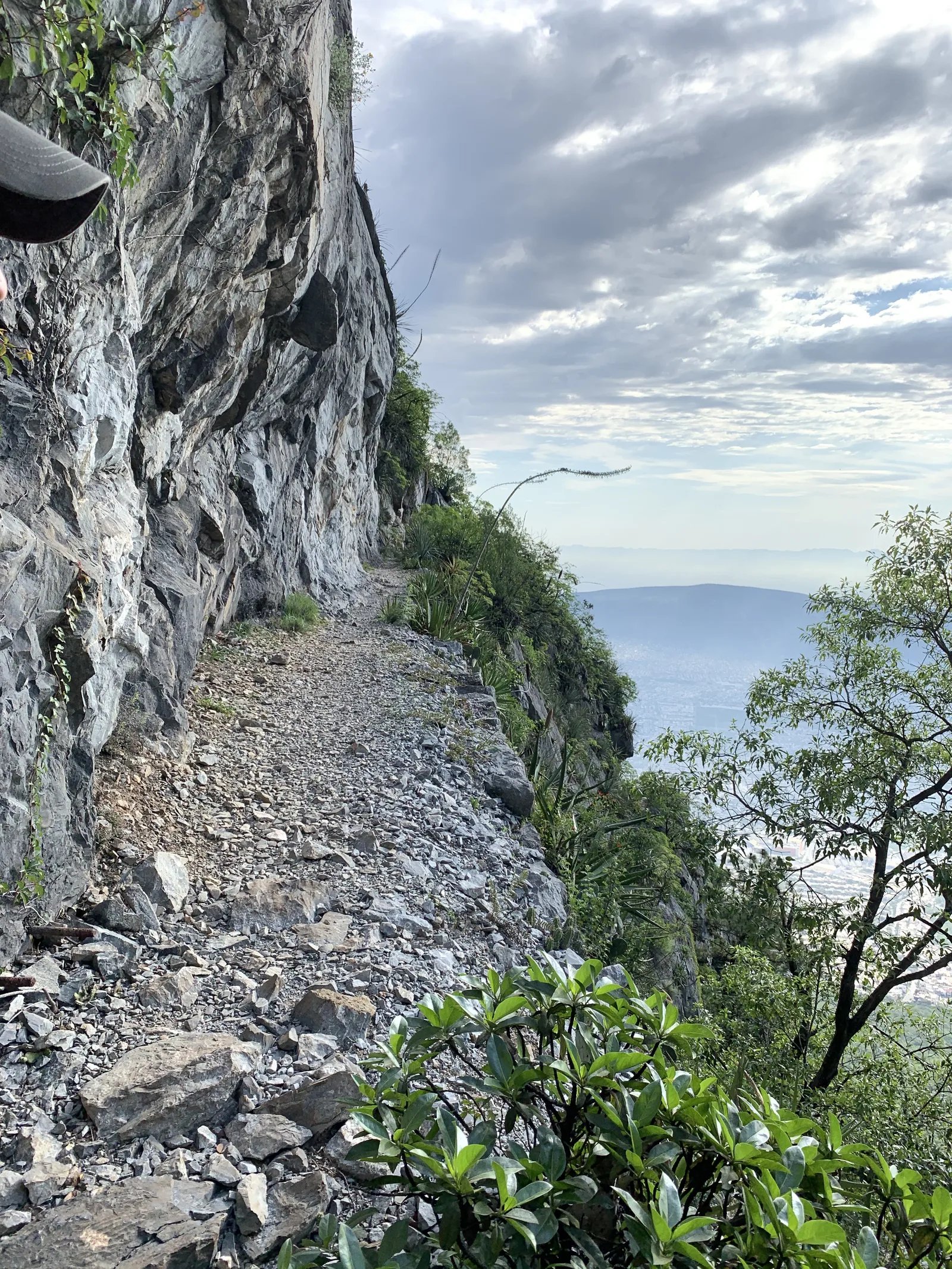
This route is classified as level 6, which means that it is a hill with a considerable slope of approximately 1,100 meters. The first part to the mines is usually the most friendly compared to time and is only half the route. When you reach the sandblaster, the second part will begin, which is steeper but shorter.