
Pico Sur

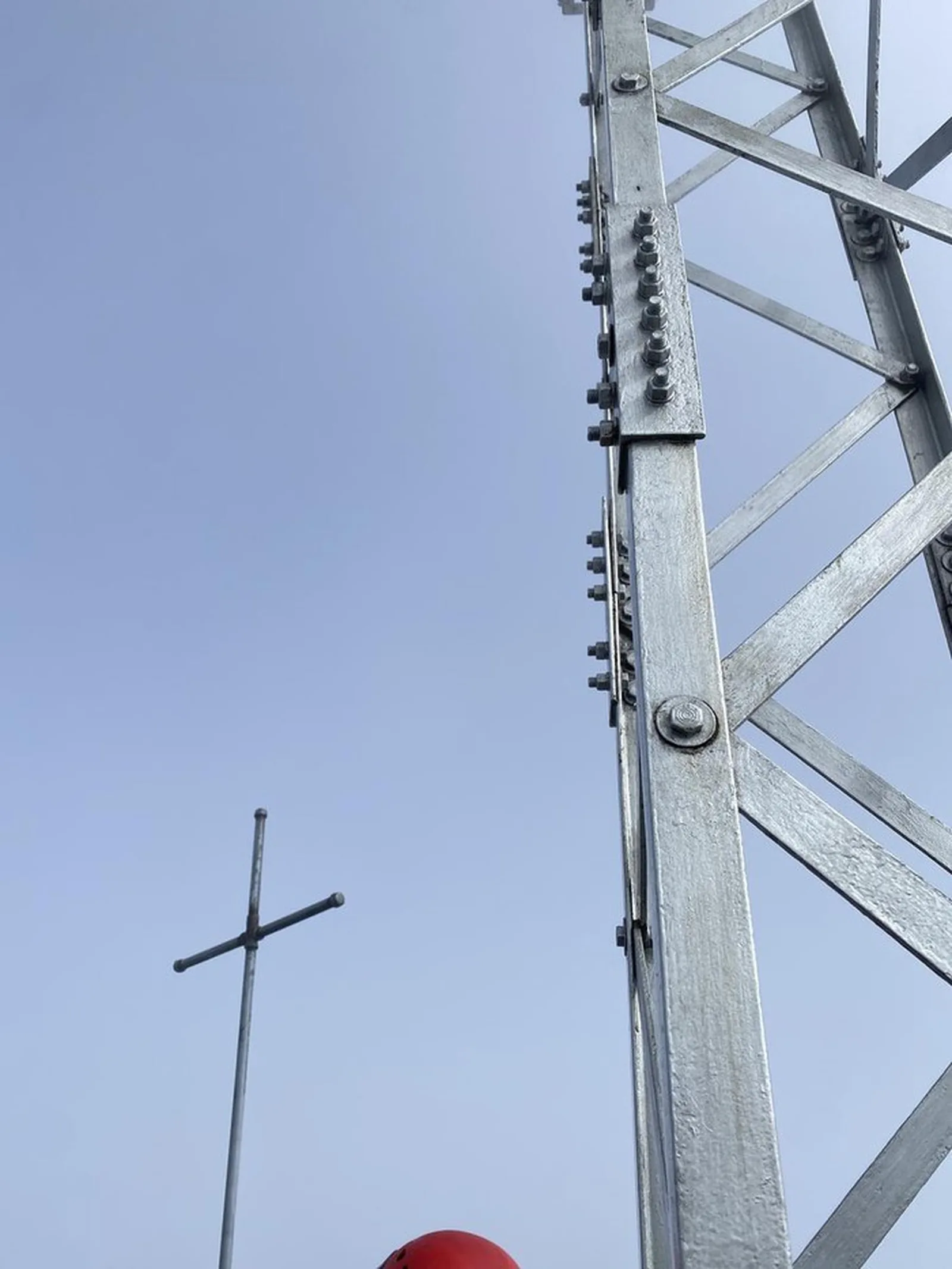

Pico Sur
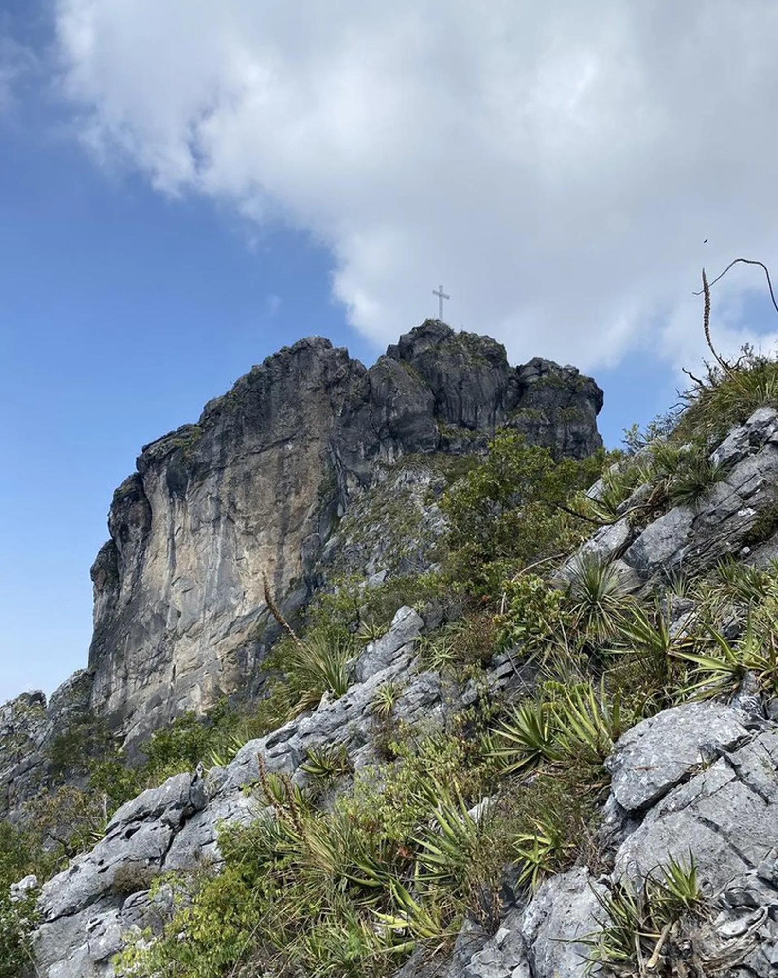
Cerro de la Silla, Monumento Natural Cerro de la Silla, Monterrey
1484 m
4.91 km
3 h 27 m
1741 msnm
Direct route to Pico Sur — the technical summit of Cerro de la Silla. 4.91 km with 1,484 m of elevation gain in a short distance.
Warnings


Level
i
Packing List
How to get there
Trailhead Access
Drive to the southern side of Cerro de la Silla in Guadalupe, NL. Take the access from San Ángel to reach the direct trailhead.
Parking Information
Park near the trailhead on the road shoulder. Do not block local traffic.
Fees & Park Hours
No access fees.
Trail Overview
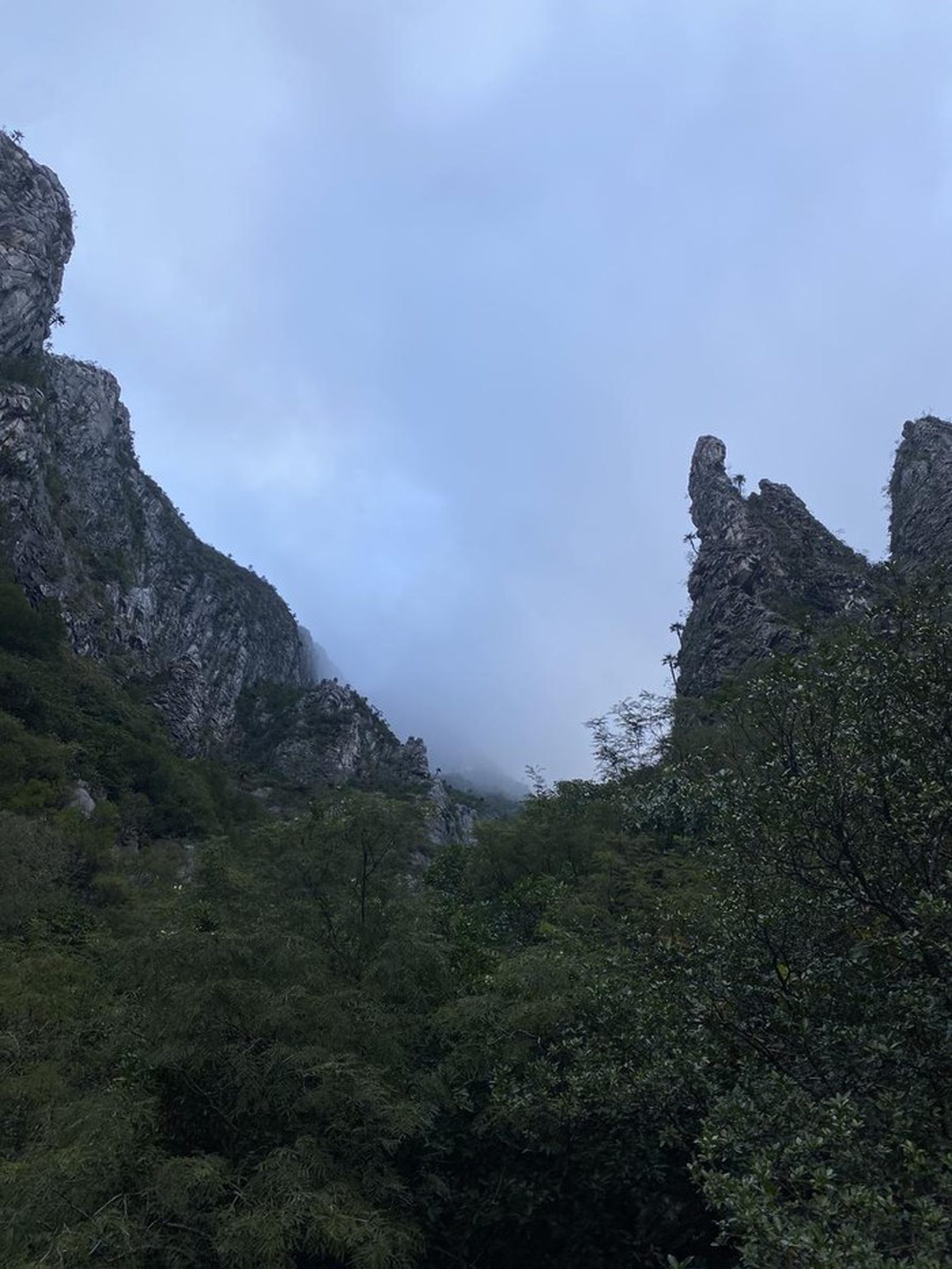
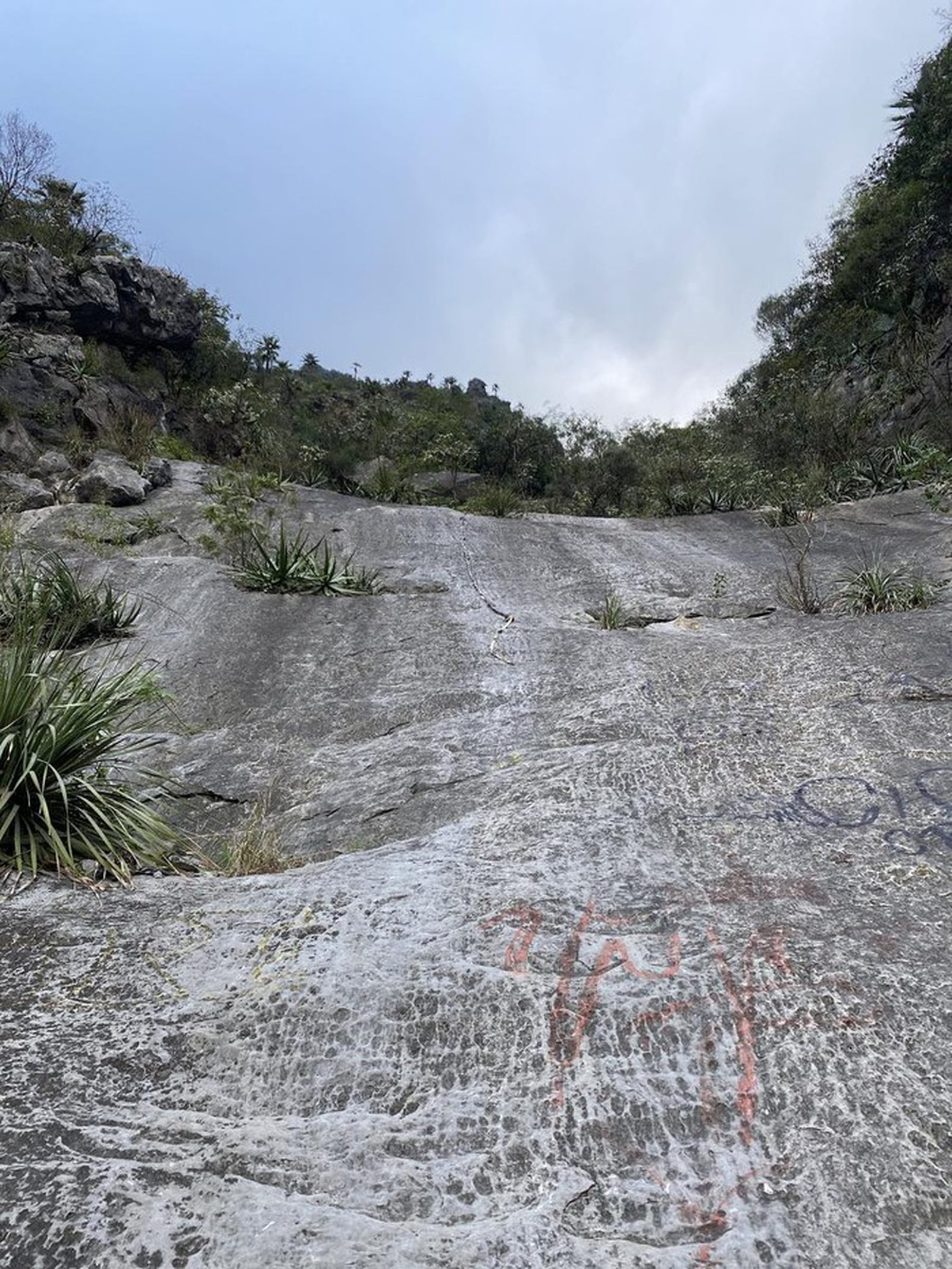
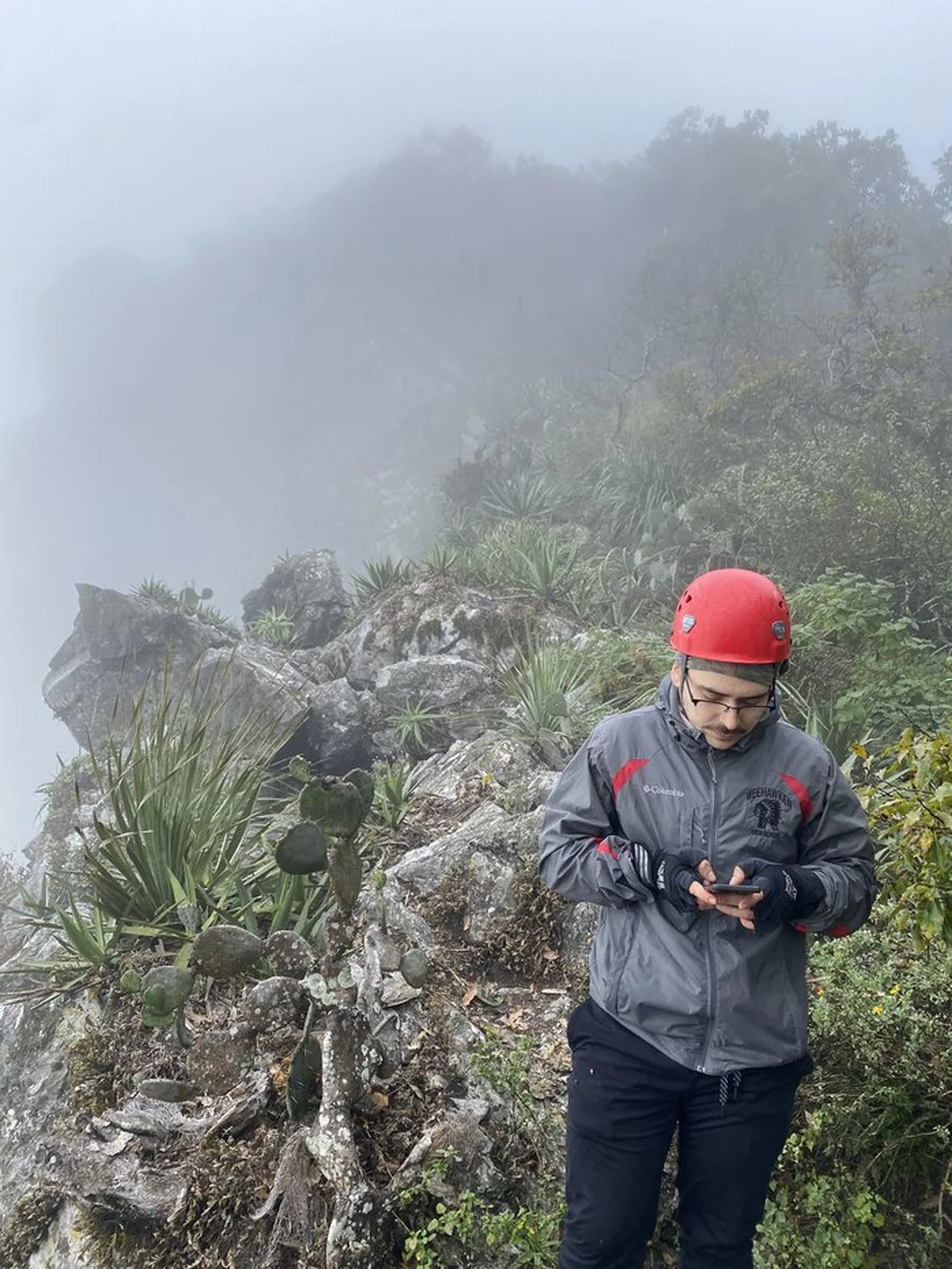
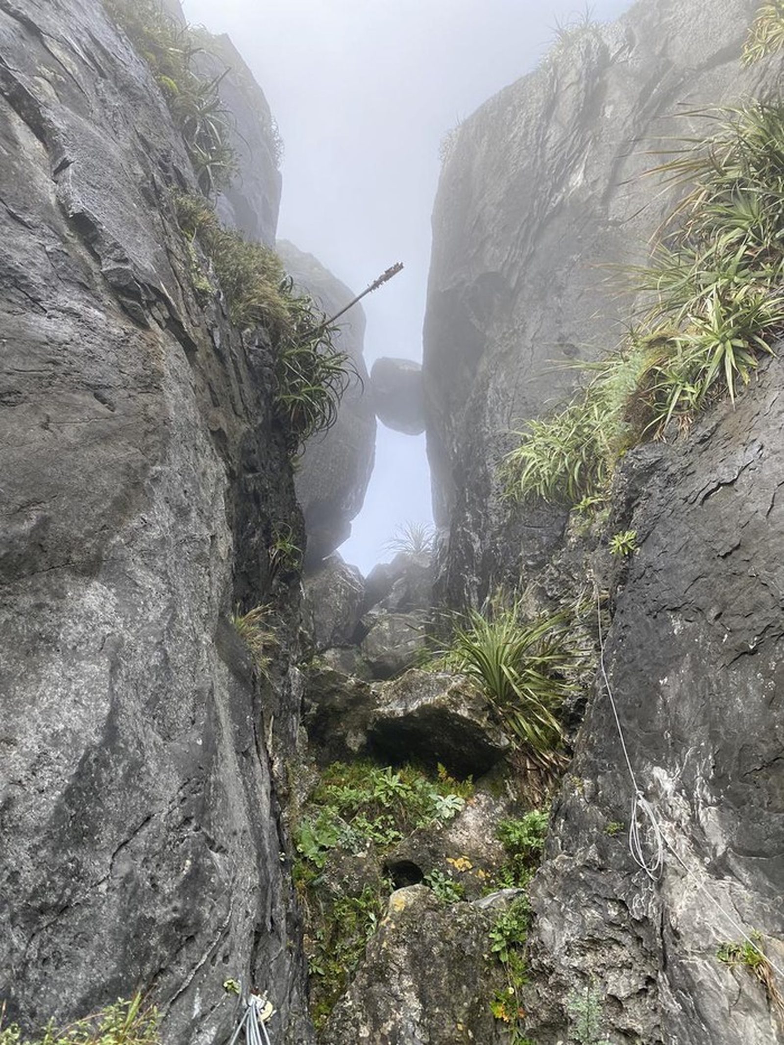
Direct ascent from San Ángel. The trail is generally clear but the upper sections require following the ridge — check Wikiloc at key intersections.
Recommended Gear
Hiking poles, headlamp, power bank, sunscreen, first-aid kit.
Elevation Gain
1484 m
Total Distance (Out & back)
4.91 km
Total Time
3 h 27 m
Max Elevation
1741 msnm
Level 8. Steep direct ascent: ~4.91 km with about 1,484 m of total elevation gain. Very steep grades throughout.