
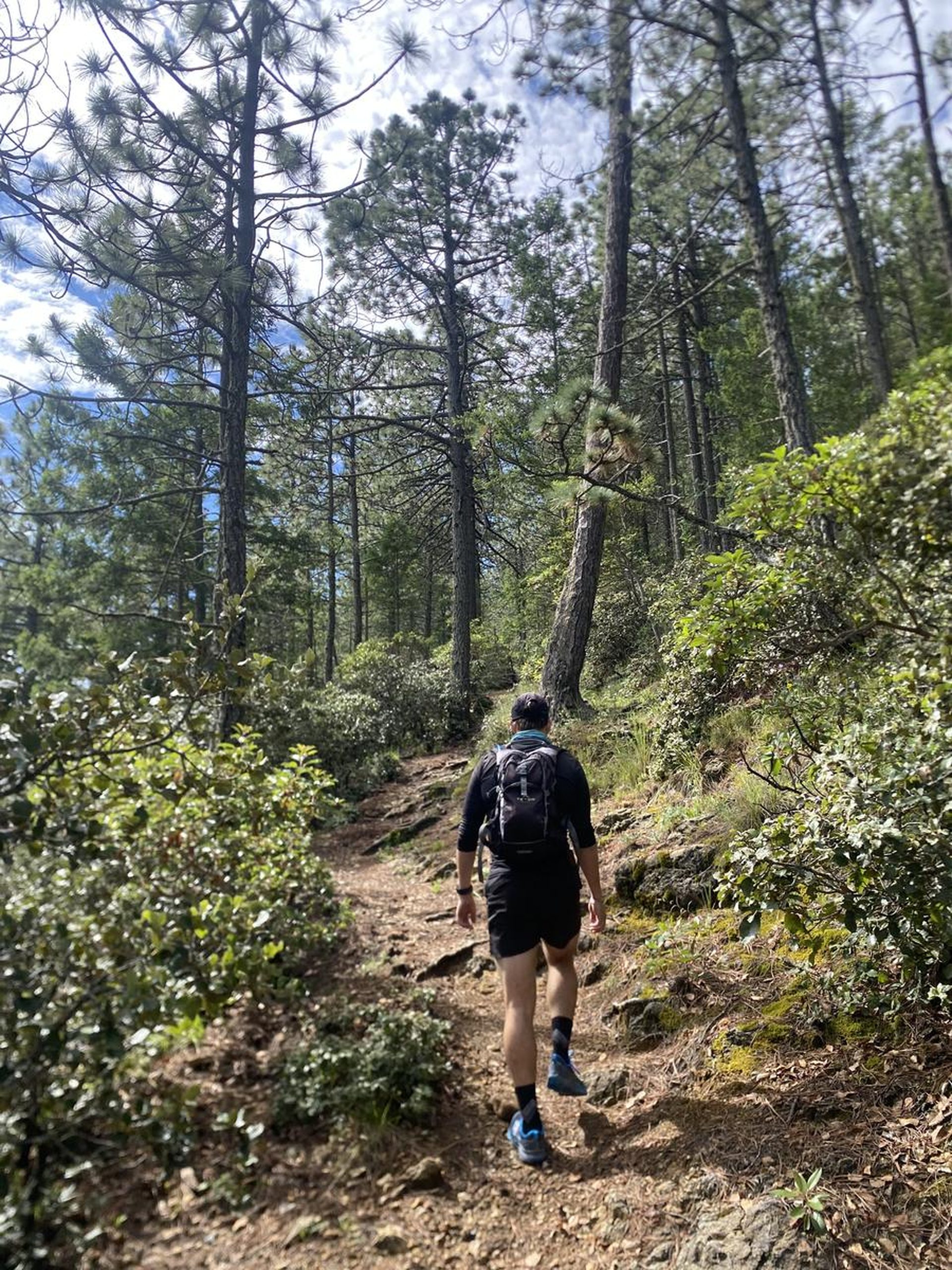
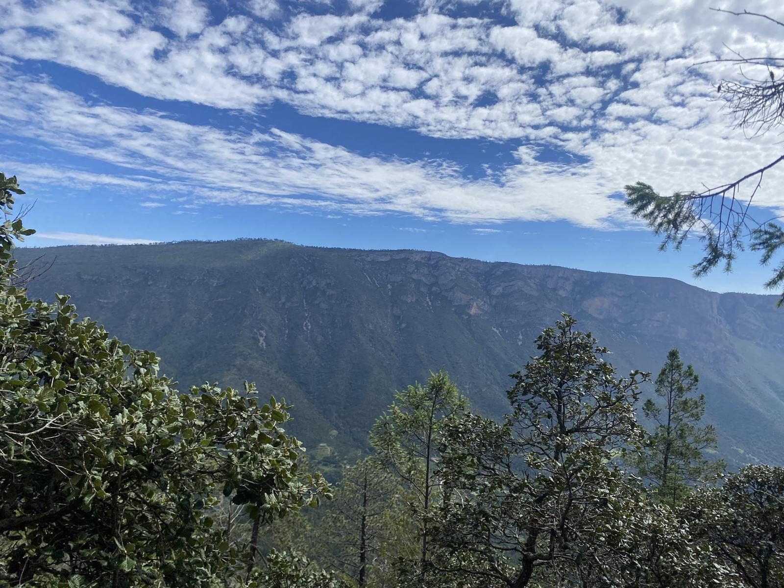
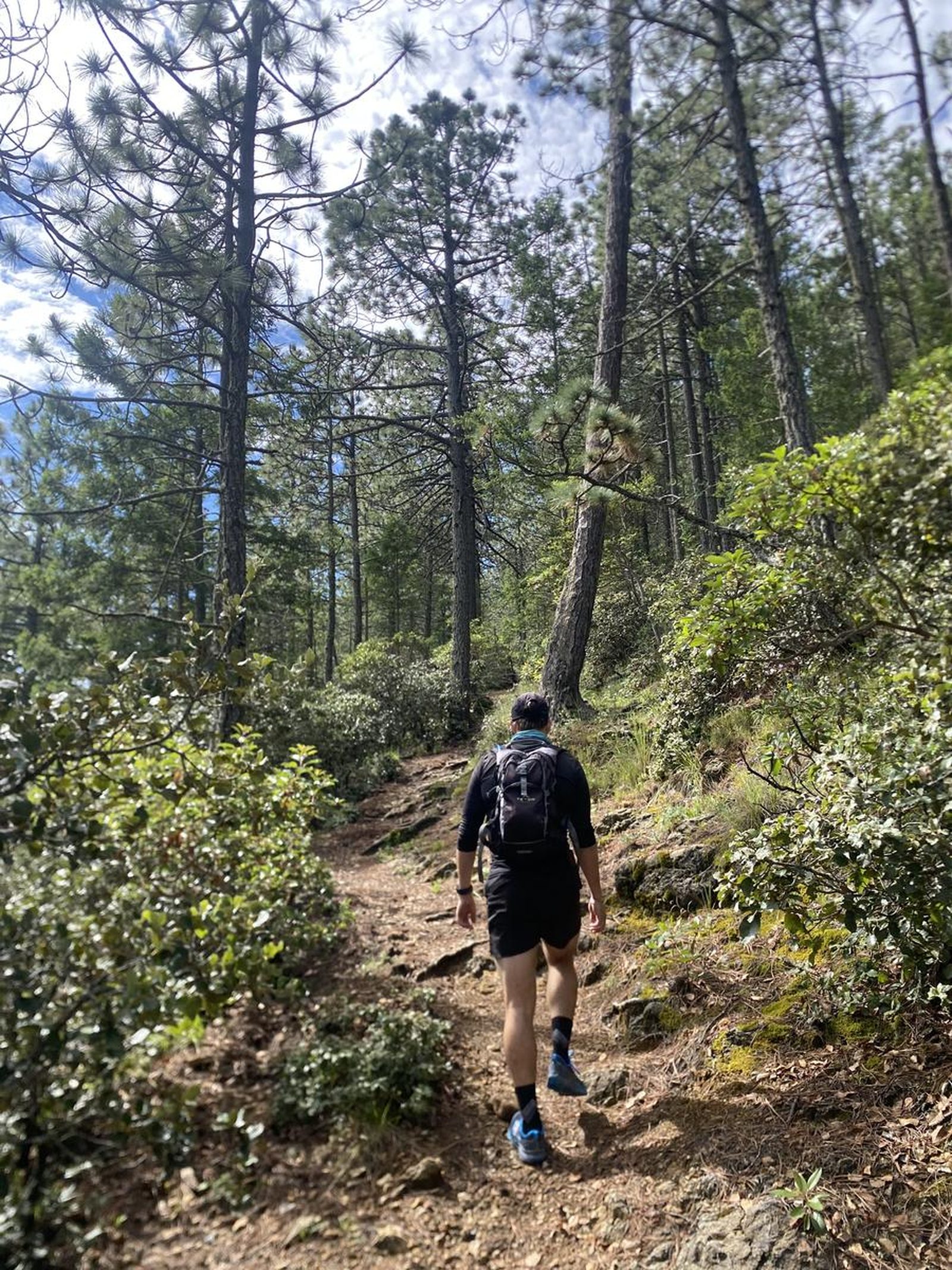
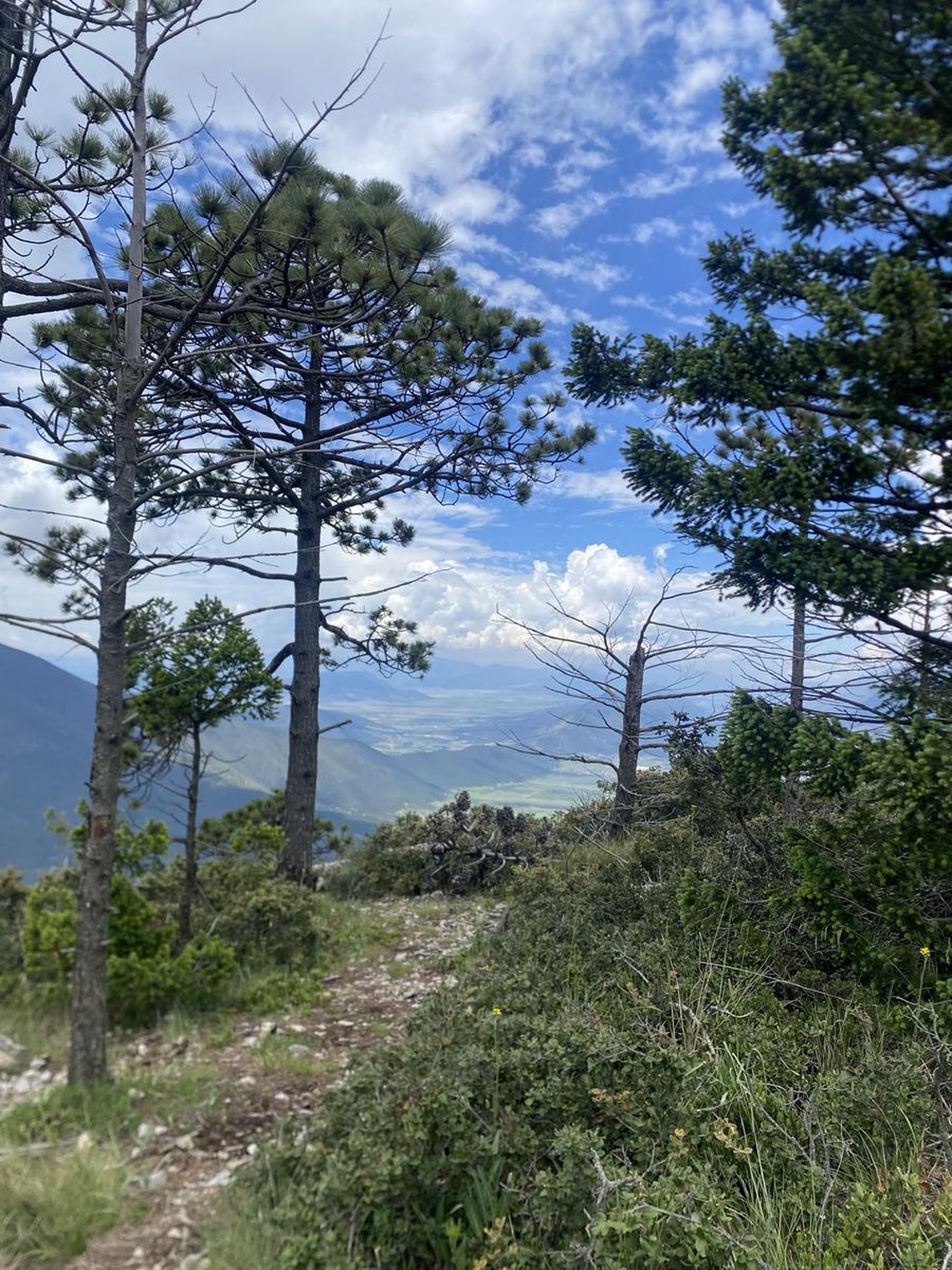
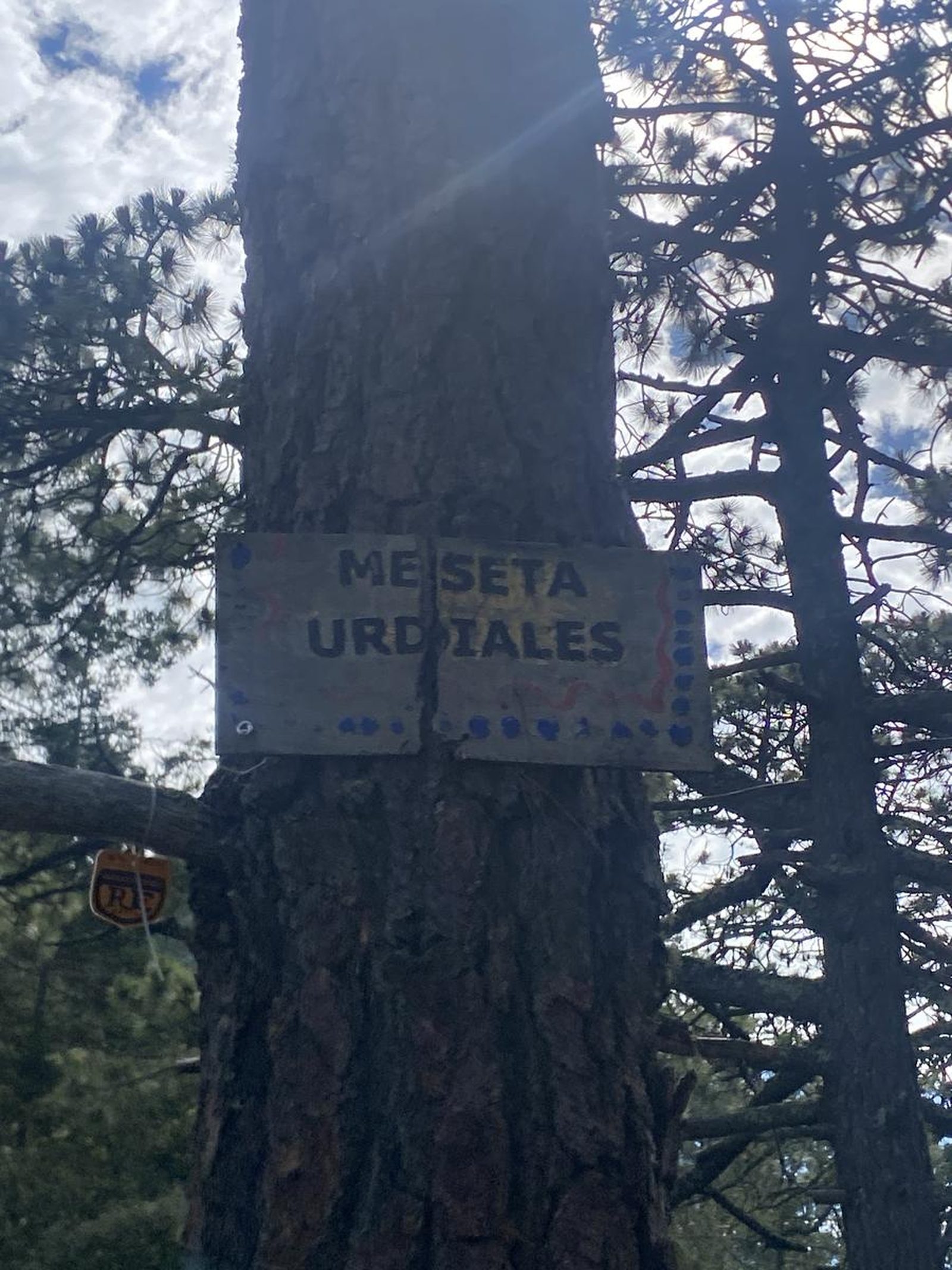
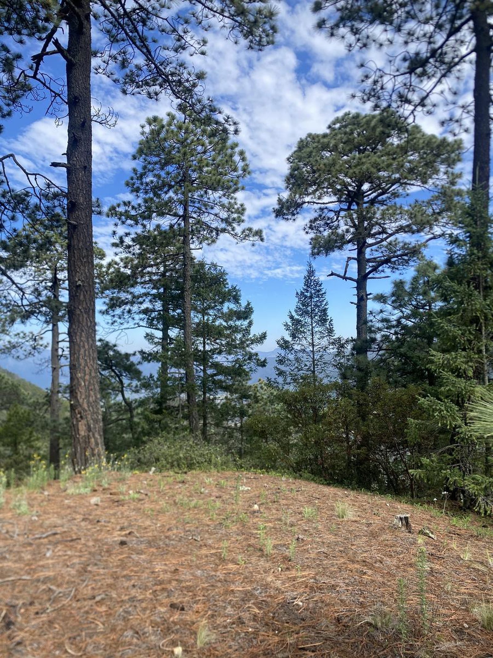
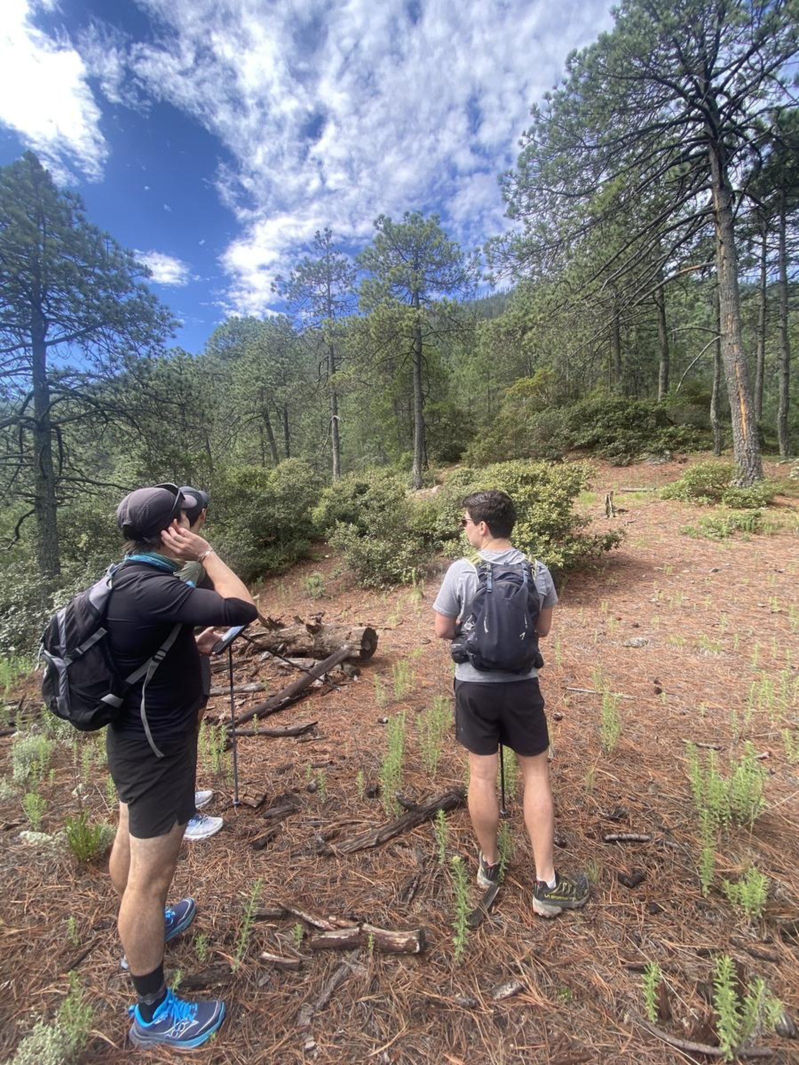
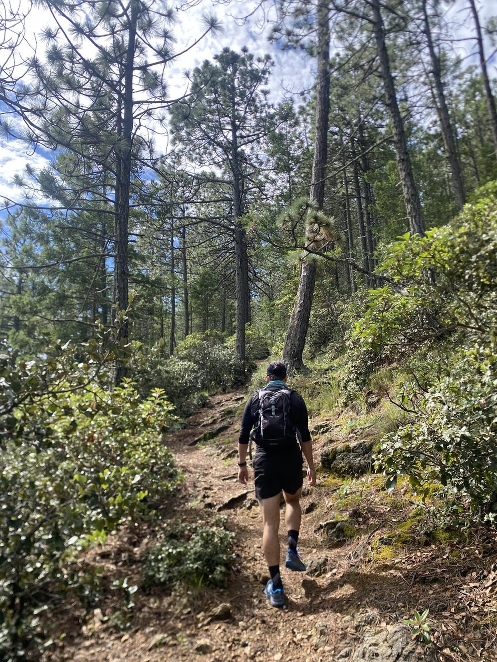
Rancho Nuevo y Rancho Viejo, Arteaga
Sierra de Arteaga
Zone: Sierra de Arteaga, Coahuila
- Elevation gain
- 3465 ft
- Distance
- 8.9 mi
- Time
- 4 h 56 m
- Altitude
- 10620 ft
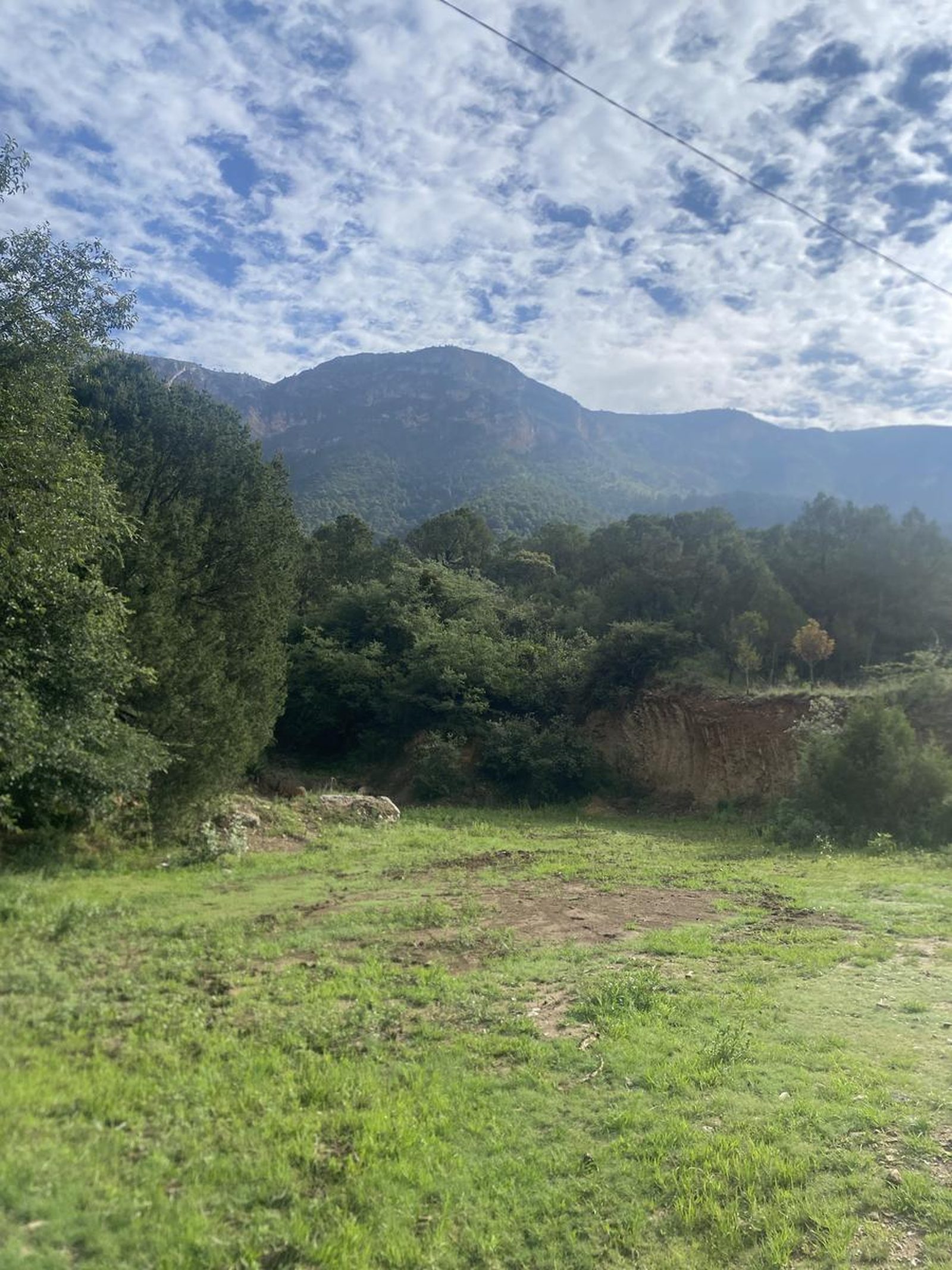
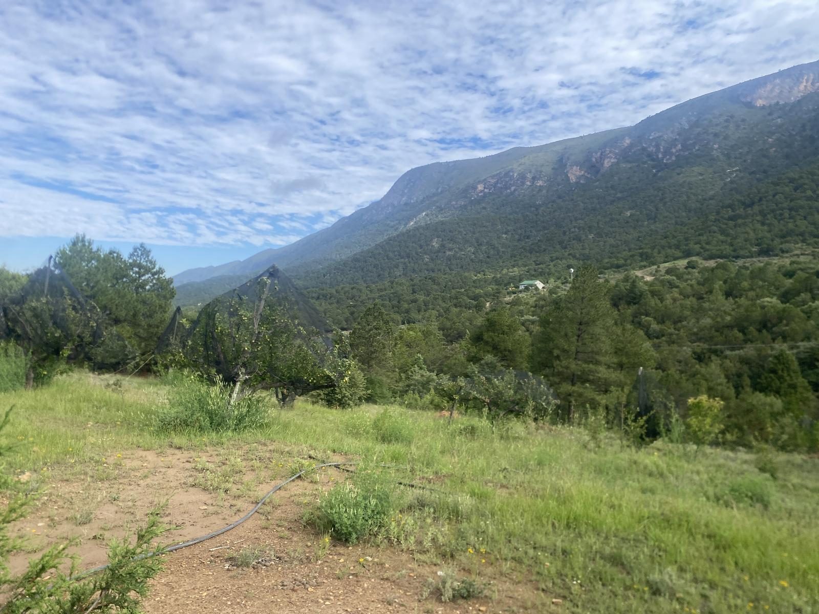
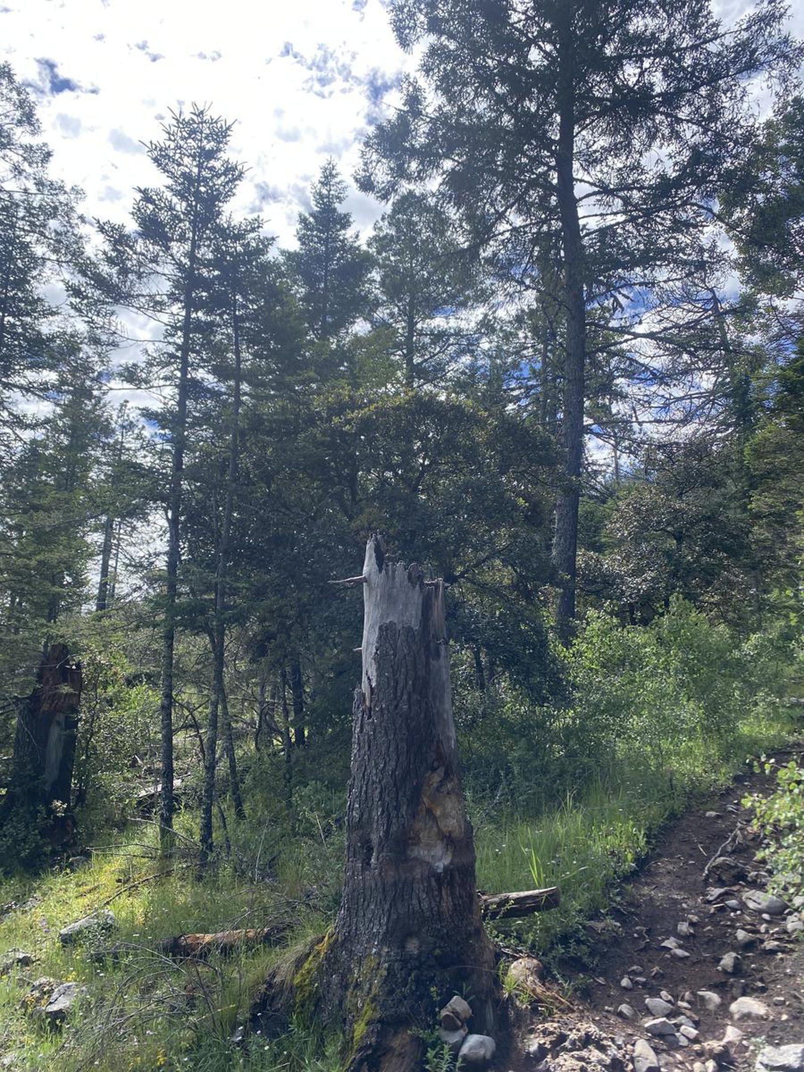
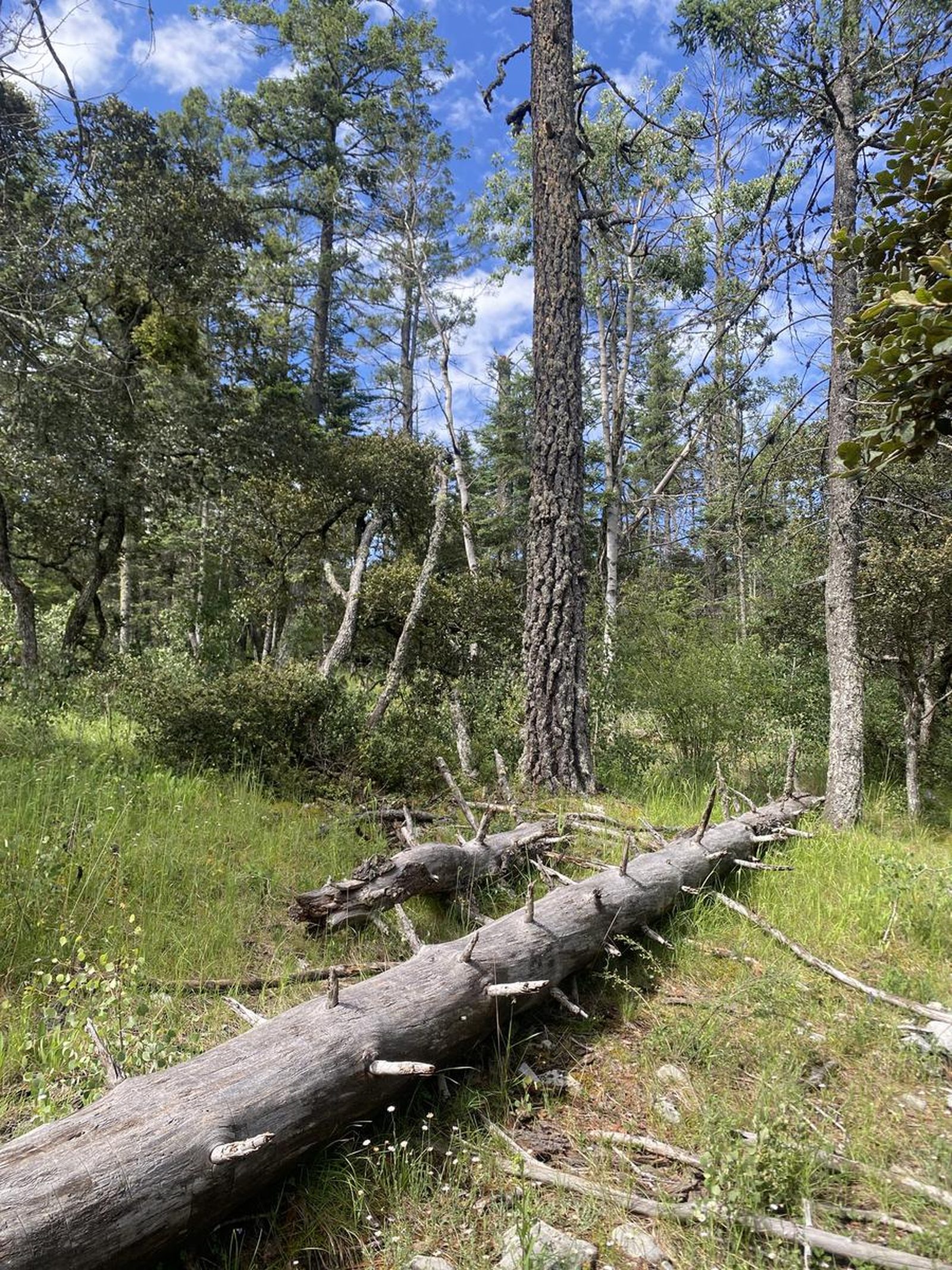
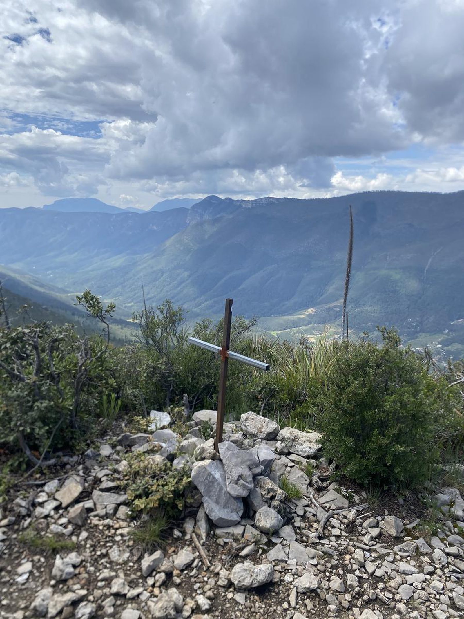
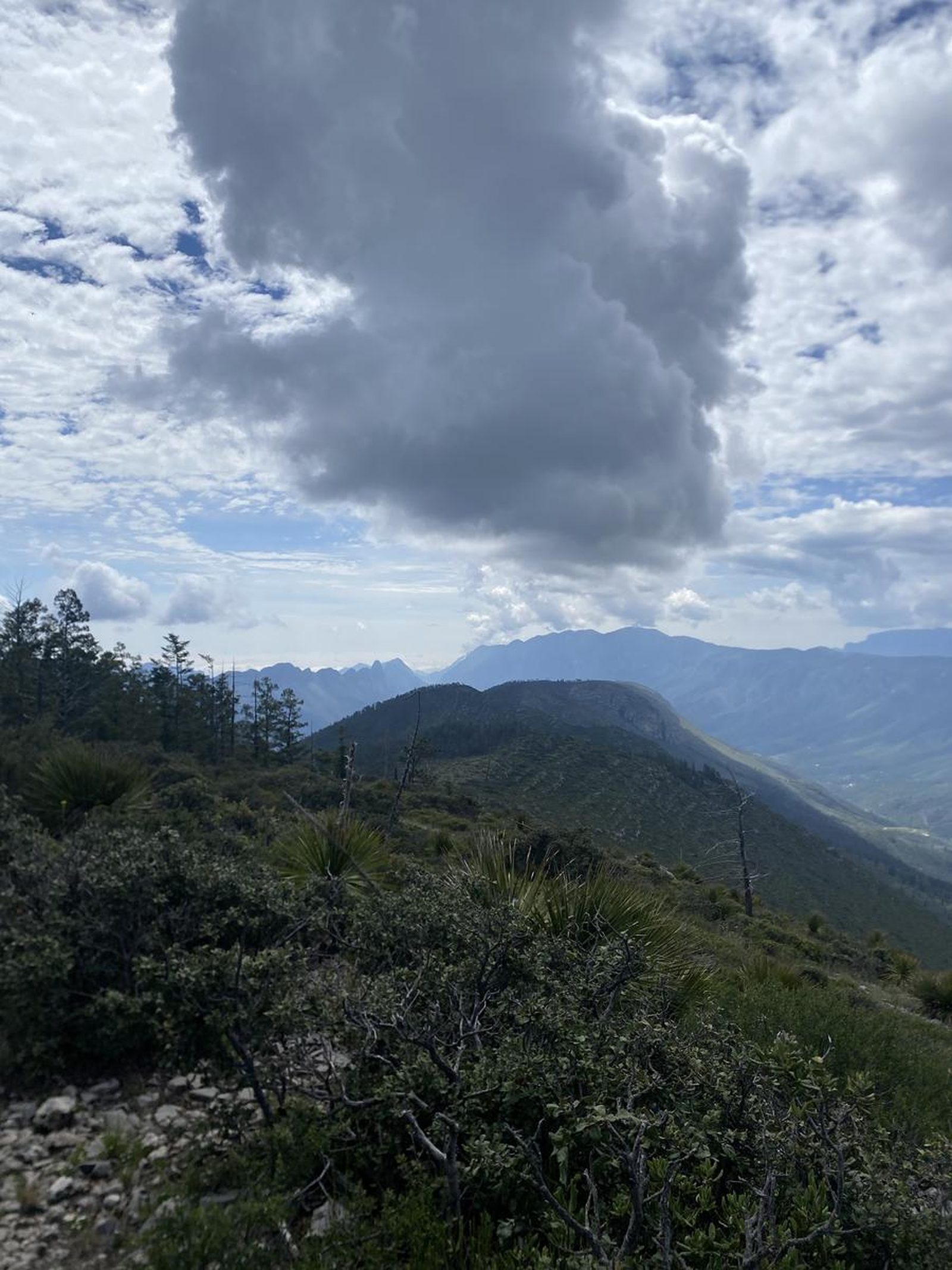
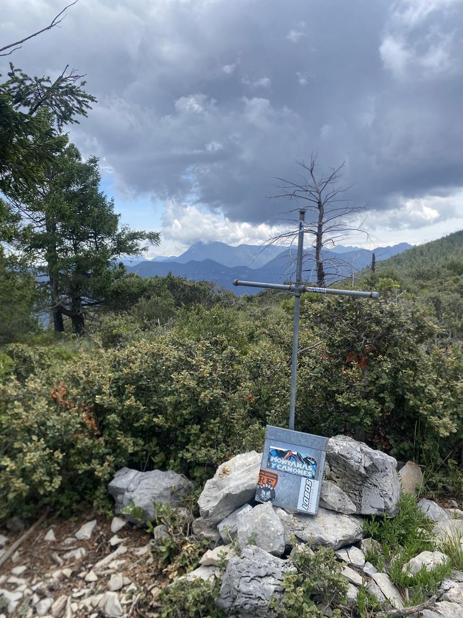
You are in Rancho Nuevo and Rancho Viejo, two peaks that stand out from a mountain in the Sierra de Arteaga.
📢 Alerts & Updates
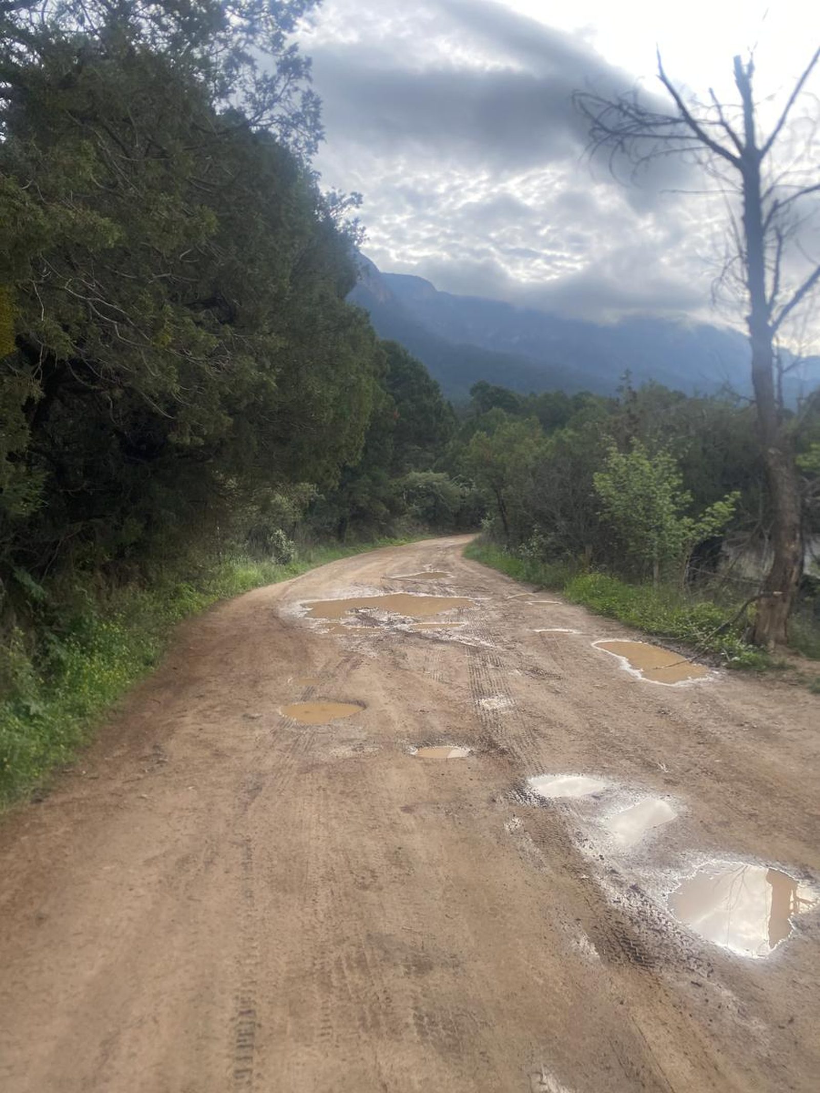
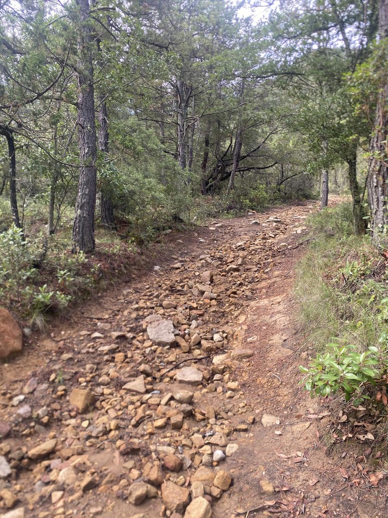
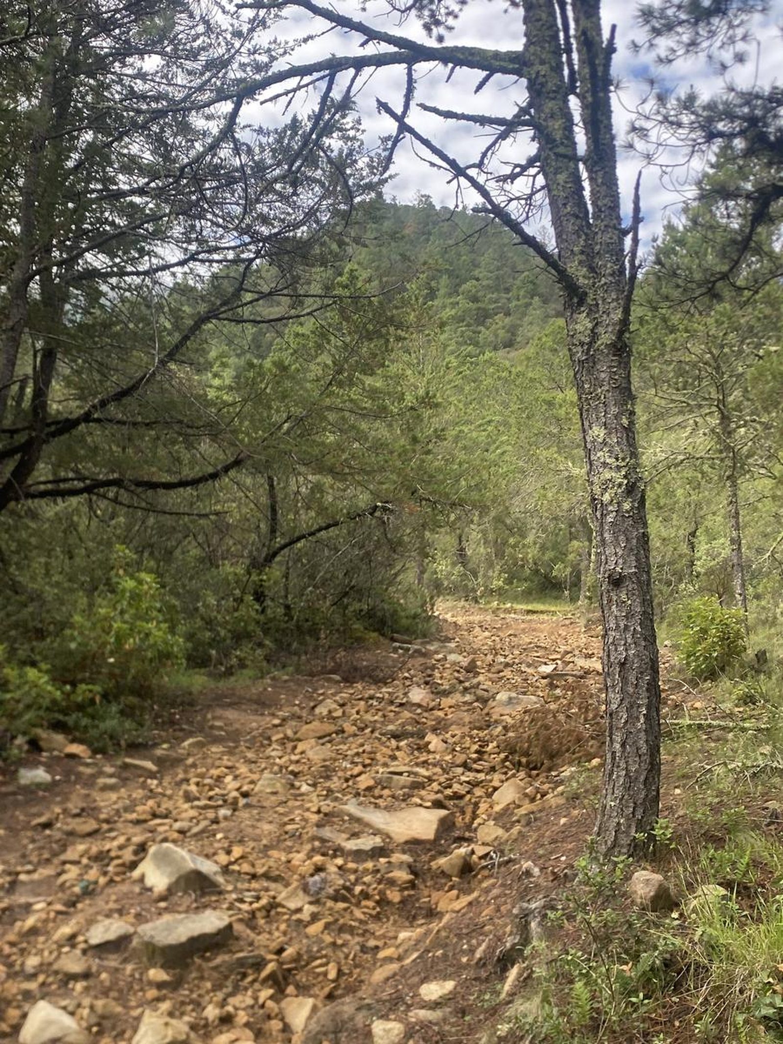
This route can be done in any season of the year, just avoid September with rain, as the terrain is extremely slippery.
Level
i
Packing List
How to get there
Trailhead Access
The start of this route is in the main square of the San Juan de los Dolores ejido, a small town in Arteaga. To get there, head to Saltillo, cross the La Carbonera collection booth and cross the Chorro Canyon. Then, take the exit to Los Lirios. When you reach the fork, you will see a path to Los Lirios and another to El Tunal; take the latter. San Juan de los Dolores is located right next to this town.
Parking Information
You can park around the main square of the San Juan de los Dolores ejido, considering not obstructing roads or entrances to private properties.
Fees & Park Hours
No cost
Trail Overview
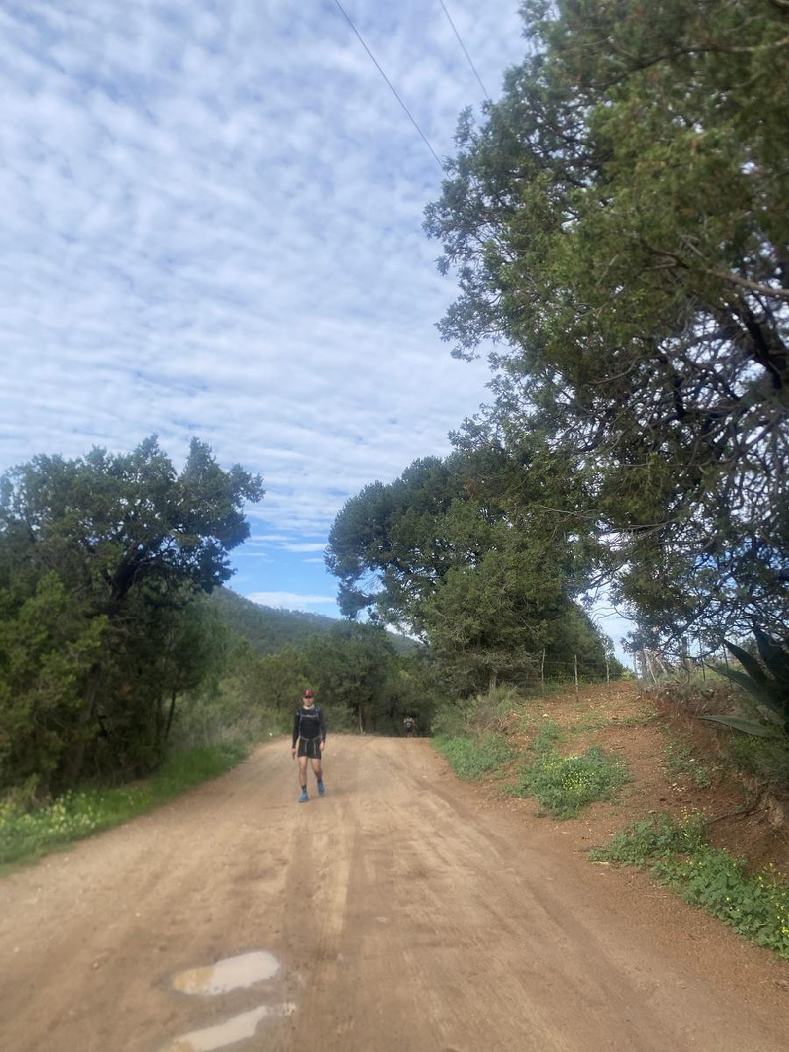
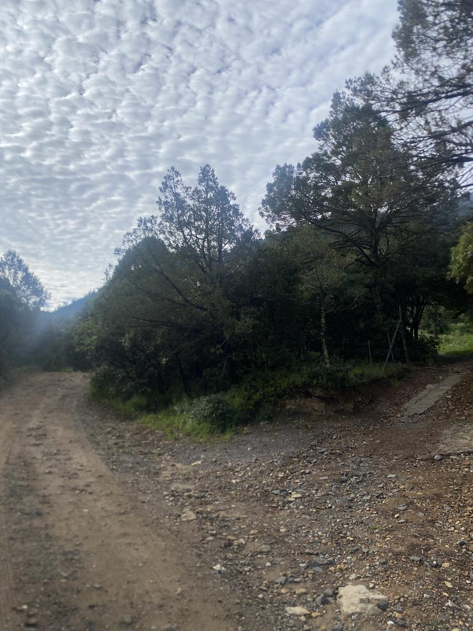
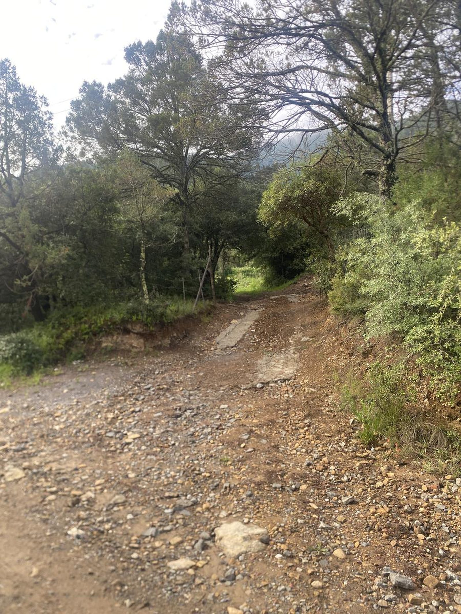
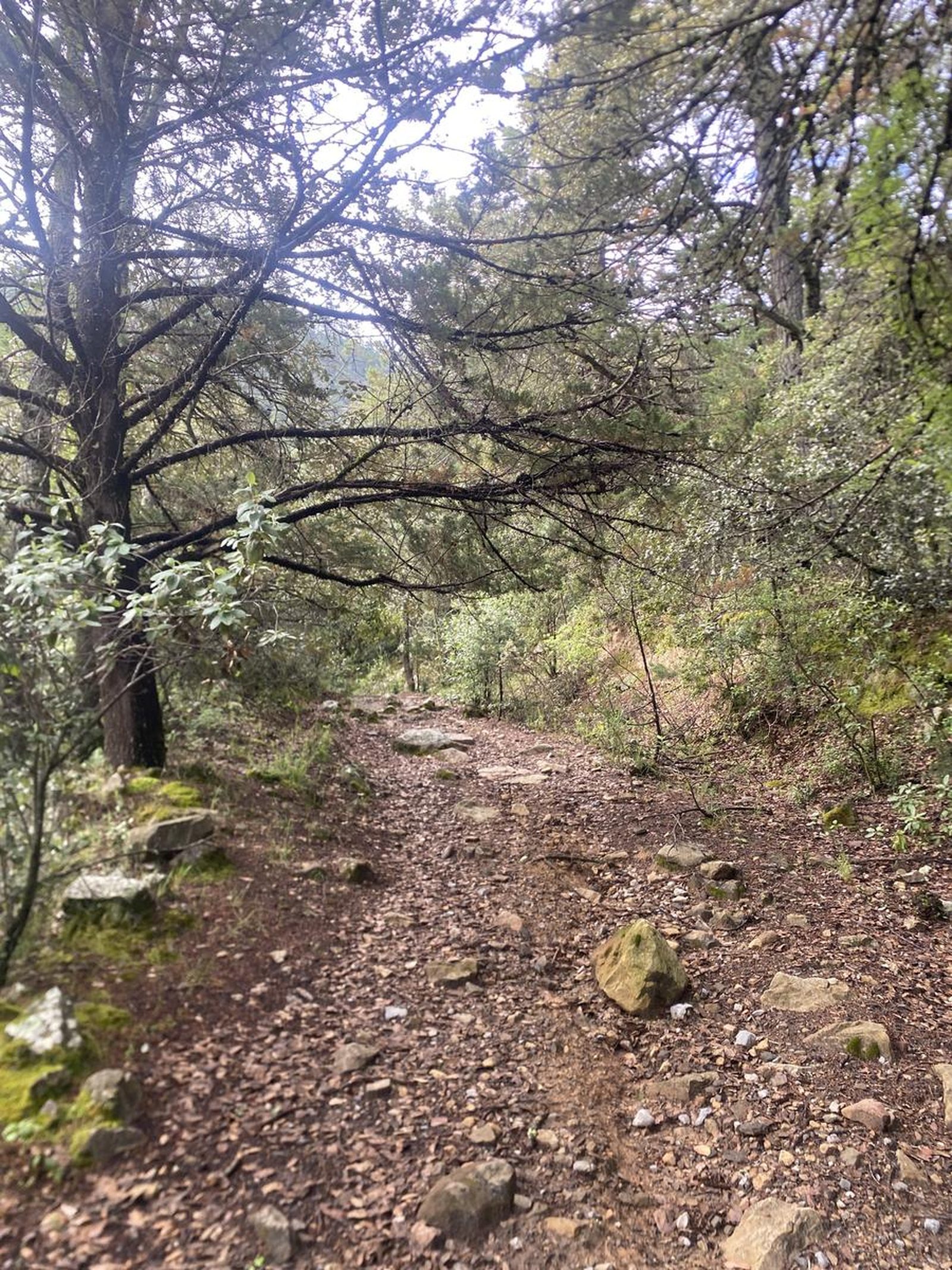
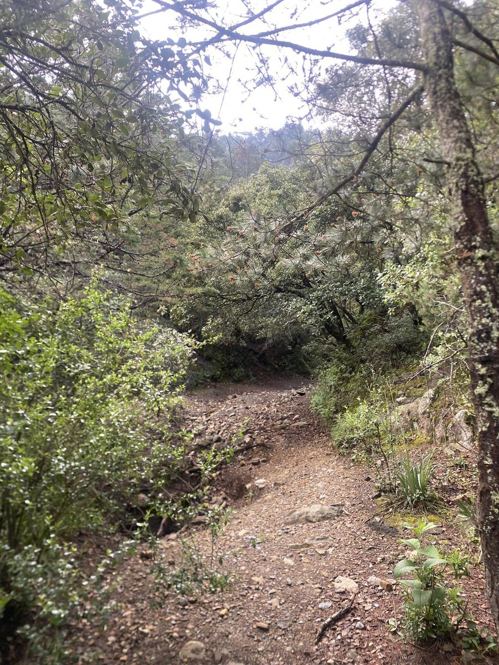
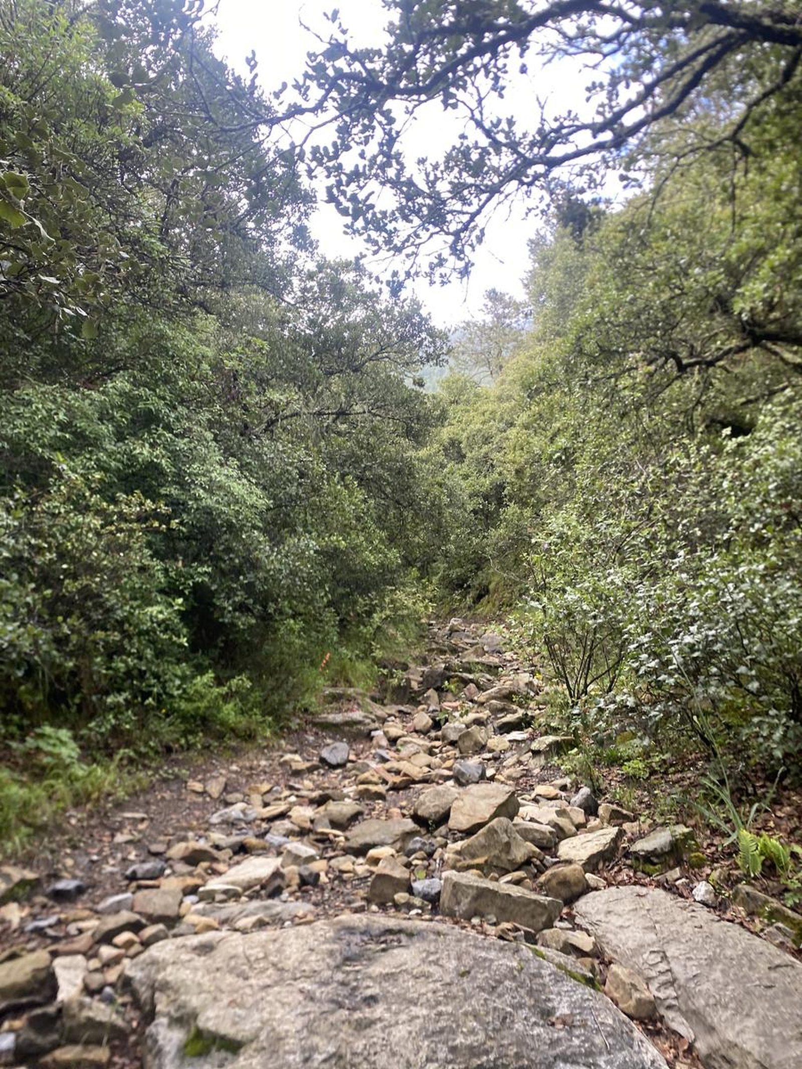
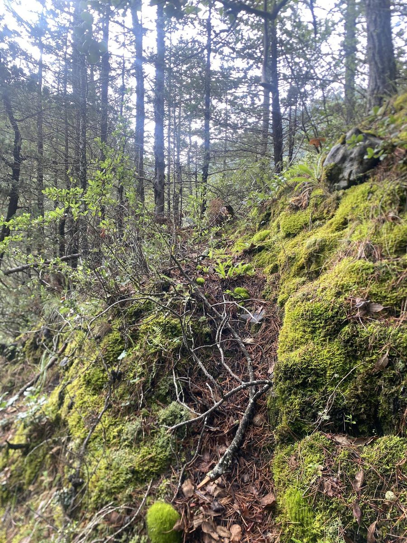
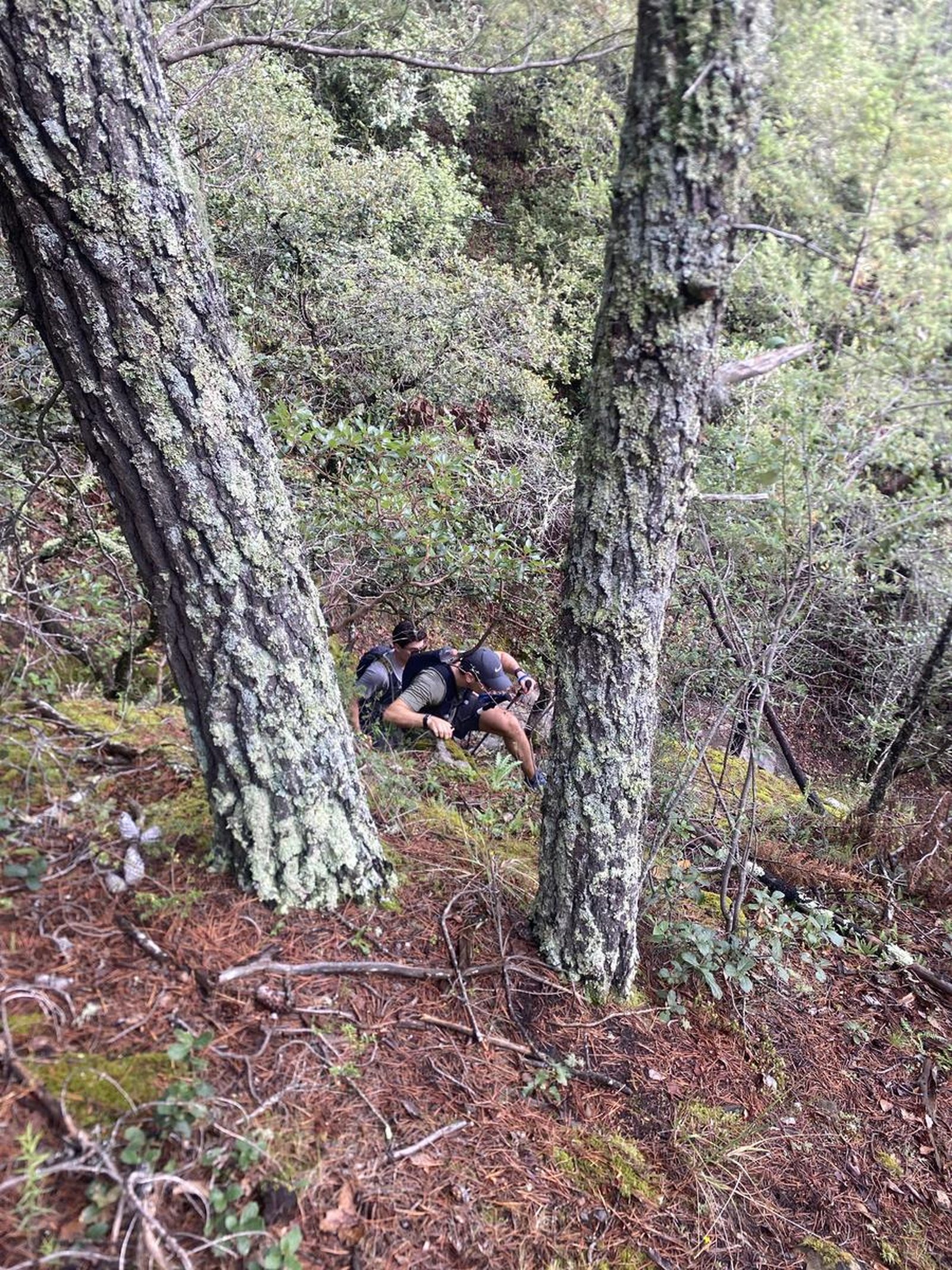
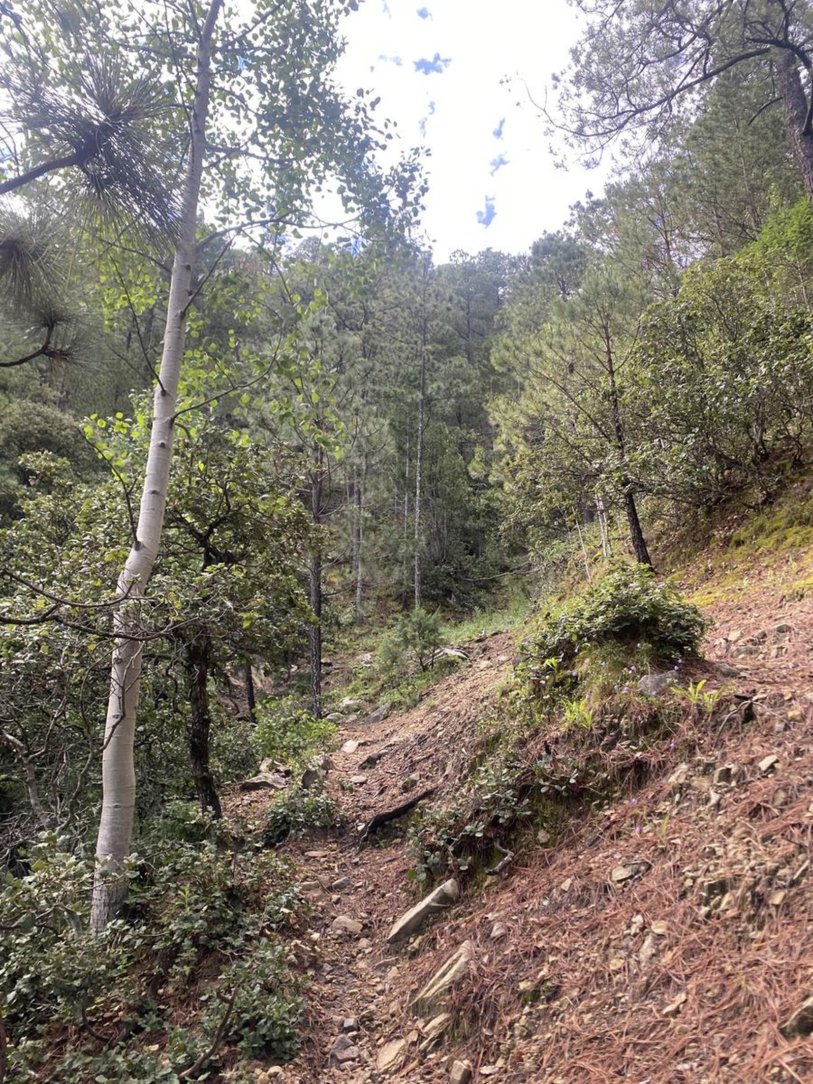
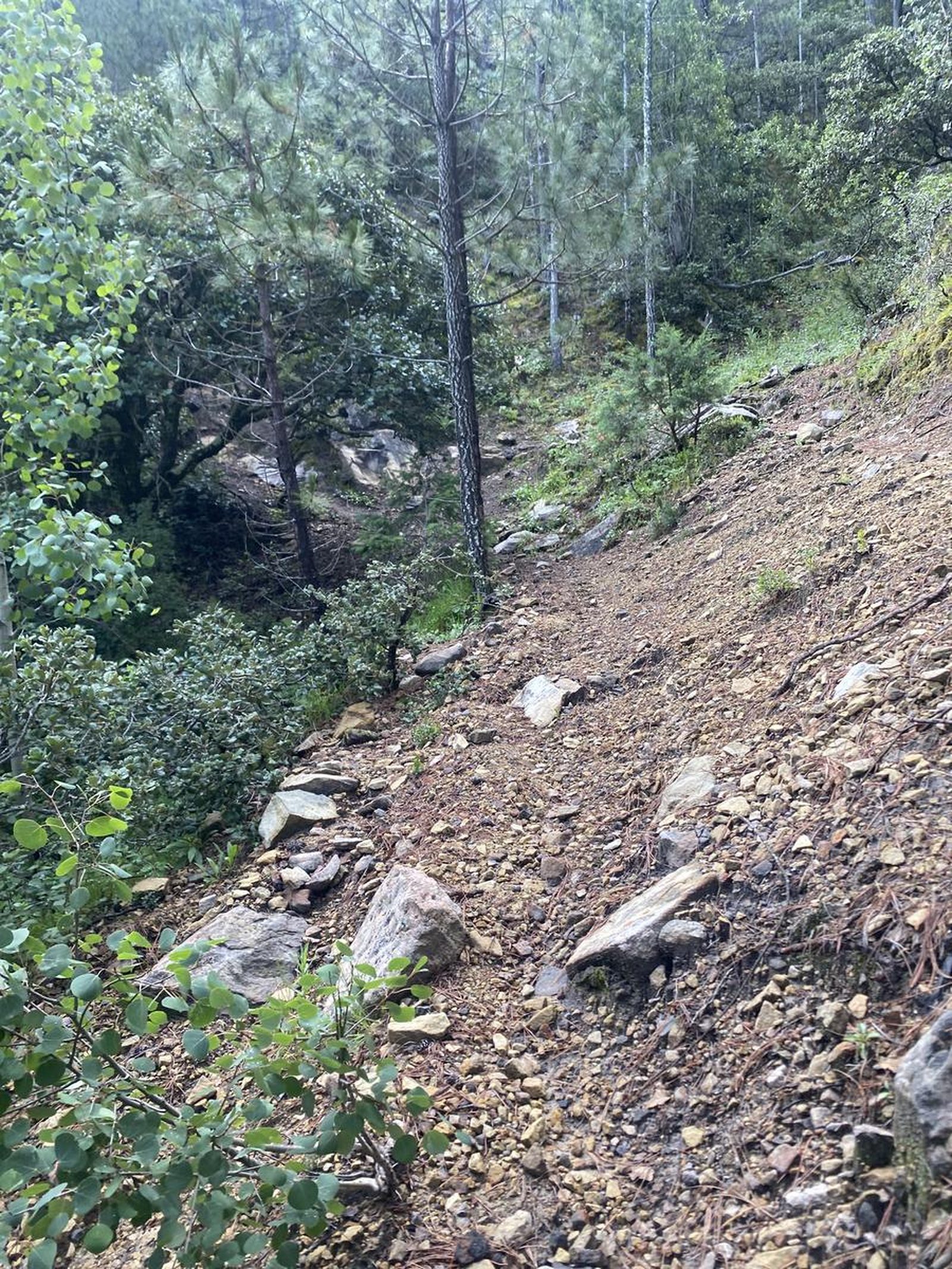
The route of this route is not completely clear, at the beginning, you will start walking along a large dirt road, which reaches a fork and you will access an apple orchard, then you must follow a very long dry ravine that has several bifurcations. Once you leave the ravine, you will be the main path, however, inside the mountain there are many roads in different directions, possibly used by the ejidatarios of the area. Download this GPS route to your cell phone and follow it so you don't lose your way.
Recommended Gear
- Hands free lamp (mining type) - Hiking sticks - Thermal blanket - External battery (PowerBank) - Sunscreen - First aid kit - Whistle - Knife
What to Expect on the Trail
i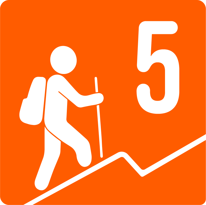
Elevation Gain
1056 m
Total Distance (Out & back)
14.35 km
Total Time
4 h 56 m
Max Elevation
3237 m a.s.l.
The physical difficulty of this route is level 5, since you walk approximately 13.5 kilometers round trip on this route and ascend to around 1000 meters of elevation.


