
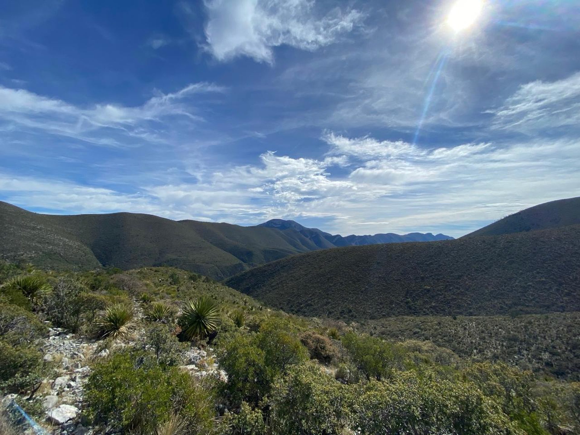
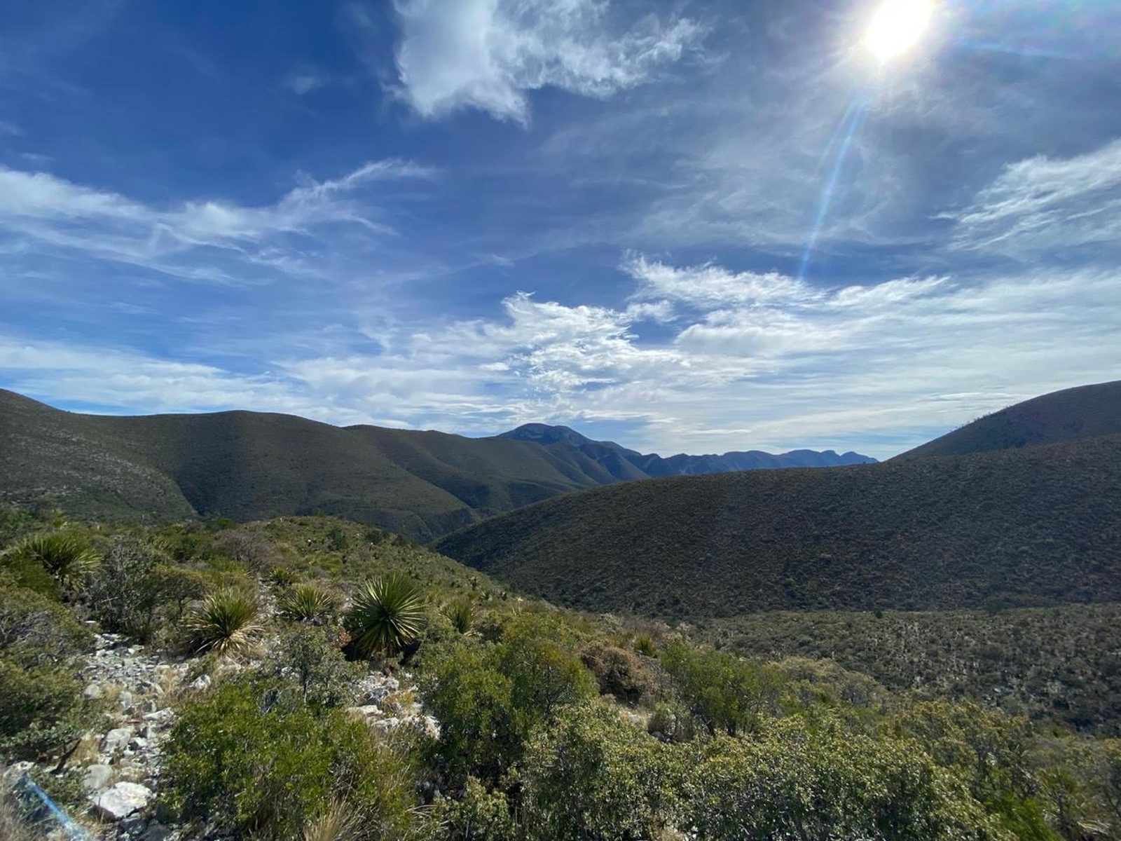
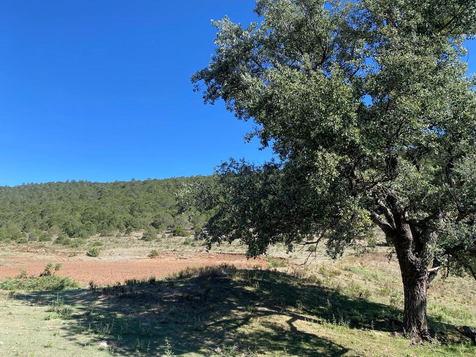
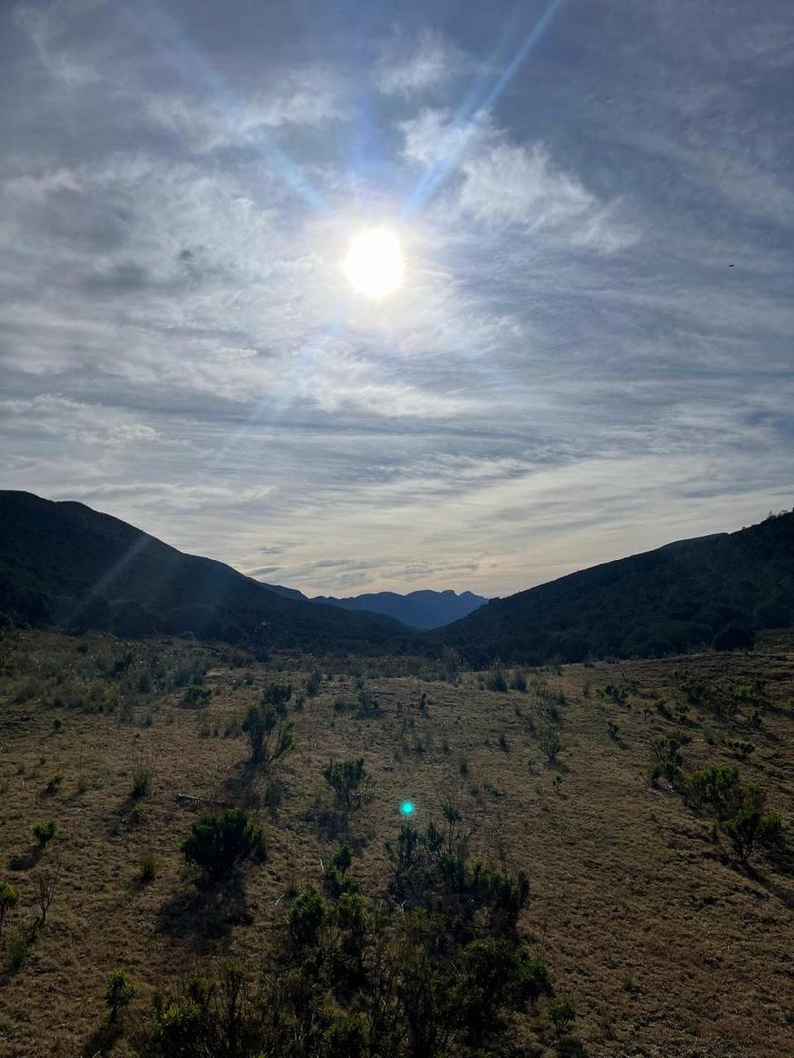
Sierra del Caballo, Arteaga
Sierra de Arteaga
Zone: Sierra de Arteaga, Coahuila
- Elevation gain
- 2257 ft
- Distance
- 5.6 mi
- Time
- 3 h 9 m
- Altitude
- 8937 ft
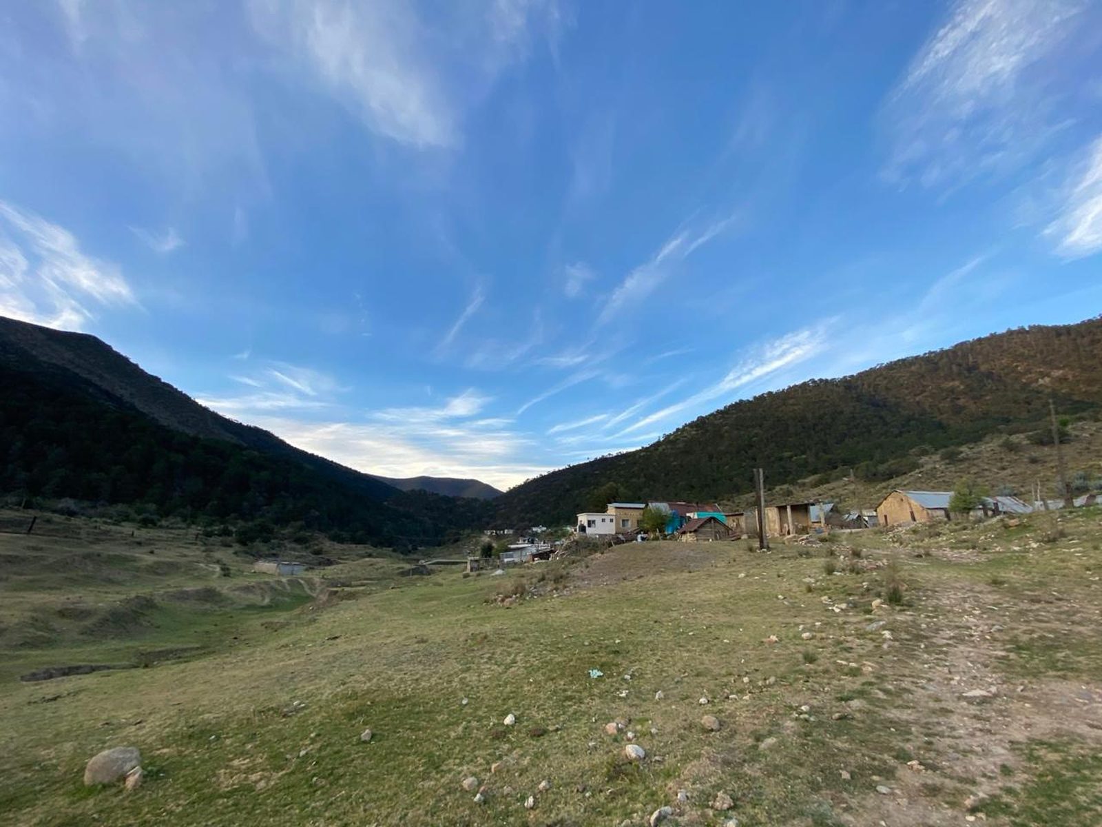
You are located at one of the vertices of the Sierra de Arteaga, right on the border between Coahuila and Nuevo León, a space that is delimited by Puerto Conejo, which divides the municipalities of Santa Catarina, Nuevo León and Arteaga, Coahuila.
📢 Alerts & Updates
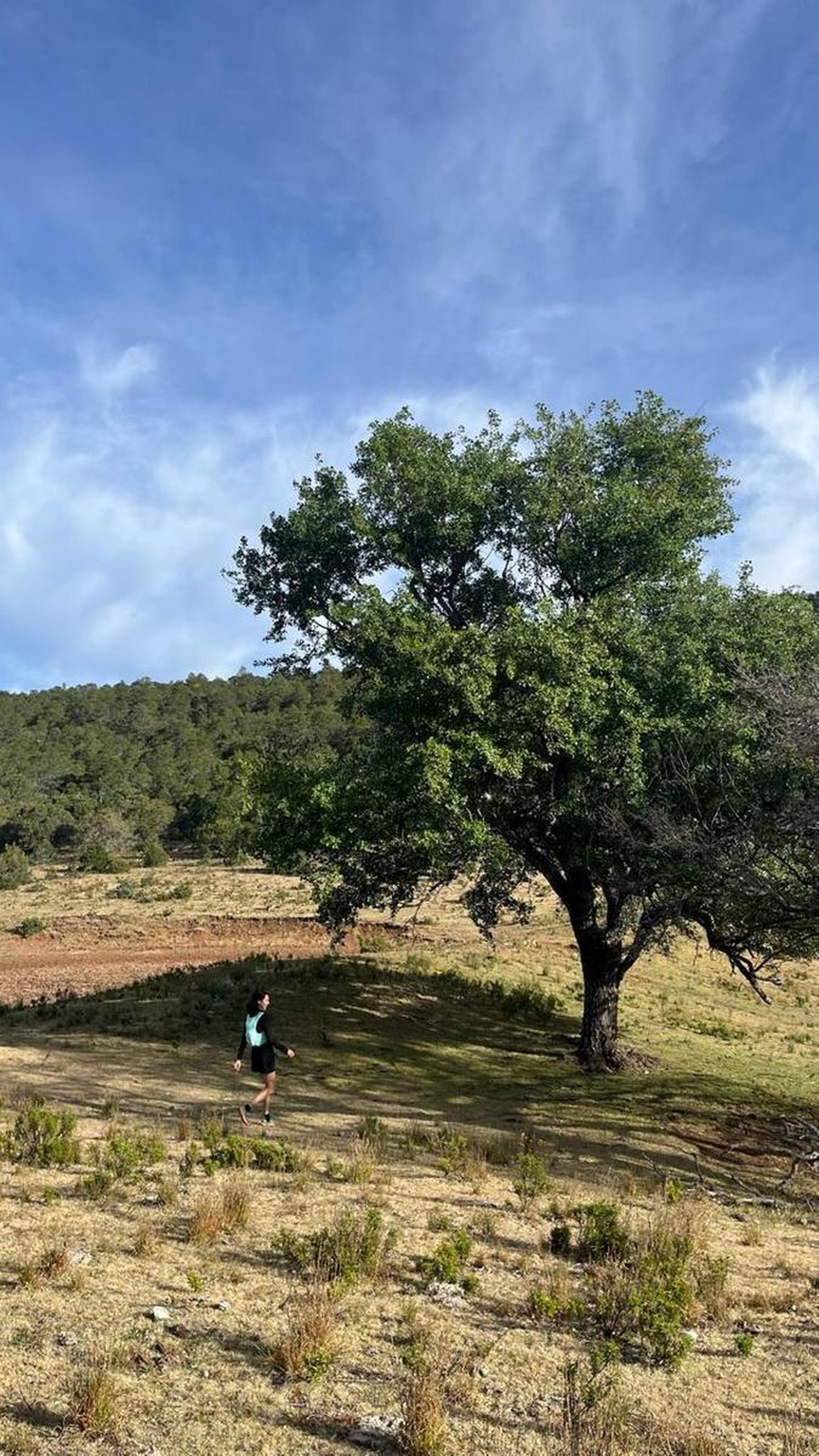
This route can be done in any season of the year, just keep in mind that even if the route is in Arteaga, the trail is not completely covered from the sun and sometimes the temperature can reach above 30 degrees.
Warnings



Level
i
Packing List
How to get there
Trailhead Access
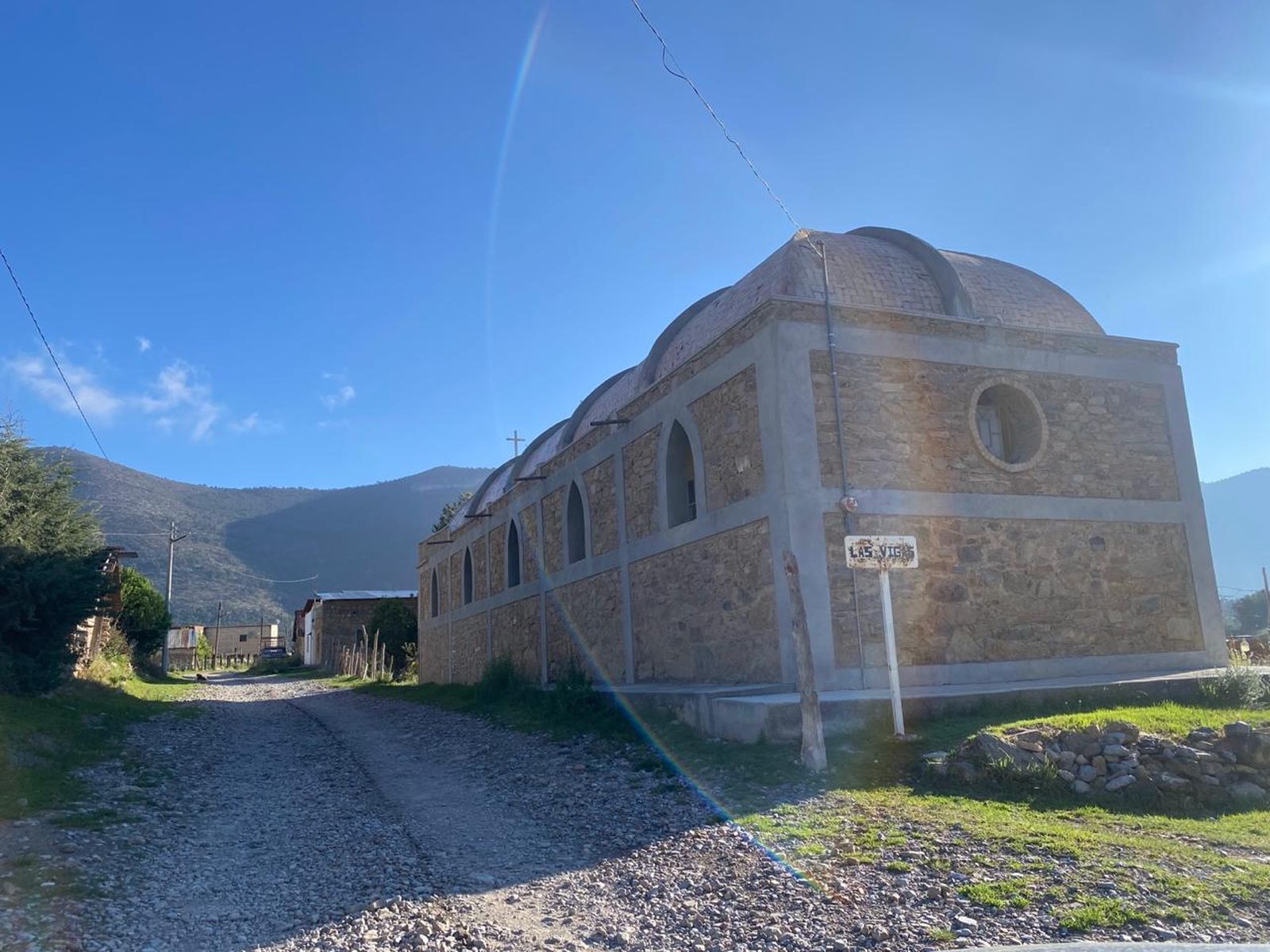
To get to the start of the route from Monterrey, the journey takes about an hour and a half. First, drive on the toll or free road to Saltillo and drive to the La Carbonera booth. Once past the booth, turn around and head towards El Tunal along the road that takes you to Puerto del Tarillal. Right at the intersection where you are heading to Tarillal, turn left and drive 15 minutes until you reach Ejido “Las Vigas”, where the tour begins.
Parking Information
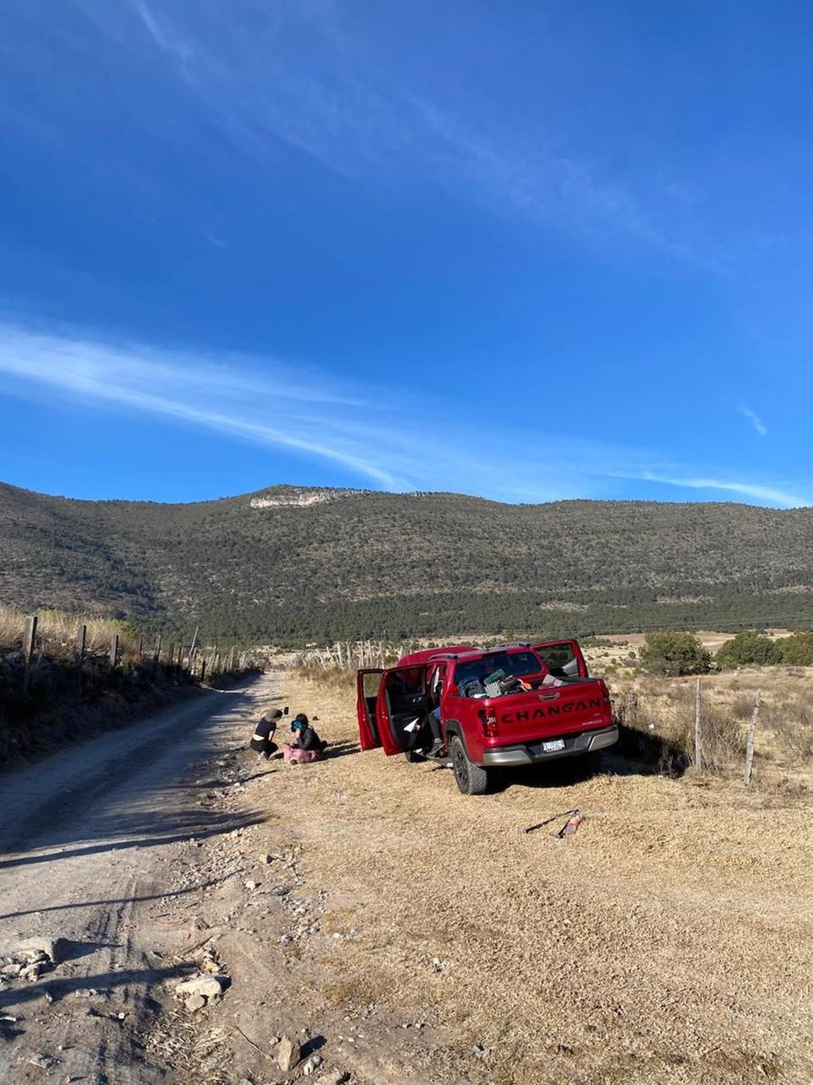
There is no official parking lot for this route, so visitors usually park on the sides of the road that heads up the mountain. We recommend that you ask permission from the ejidatarios in the area before parking anywhere.
Fees & Park Hours
No cost
Trail Overview
The route is very confusing since this path is crossed by cattle such as cows, horses and goats, which open small paths due to the constant passage. We recommend that you download this GPS route to your cell phone and be aware of all the intersections.
Recommended Gear
- Hands free lamp (mining type) - Hiking sticks - Thermal blanket - External battery (PowerBank) - Sunscreen - First aid kit - Whistle
What to Expect on the Trail
i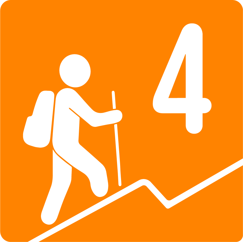
Elevation Gain
688 m
Total Distance (Out & back)
9.04 km
Total Time
3 h 9 m
Max Elevation
2724 m a.s.l.
The physical difficulty of this route is level 4, since 680 meters of elevation are ascended over 9 kilometers of distance, reaching a maximum altitude of 2700 meters above sea level. This makes it a moderately difficult route, ideal for hikers with some experience who want to start climbing hills in Arteaga.


