
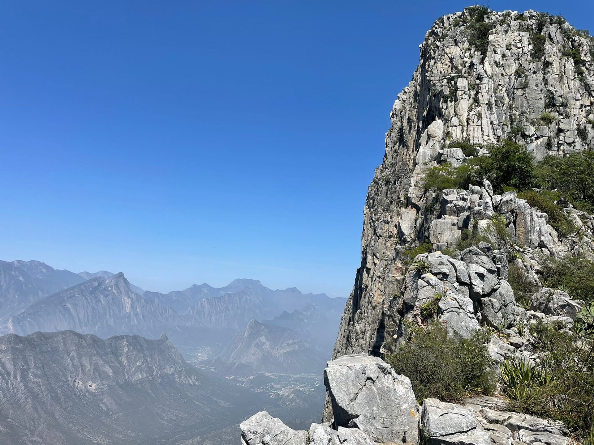
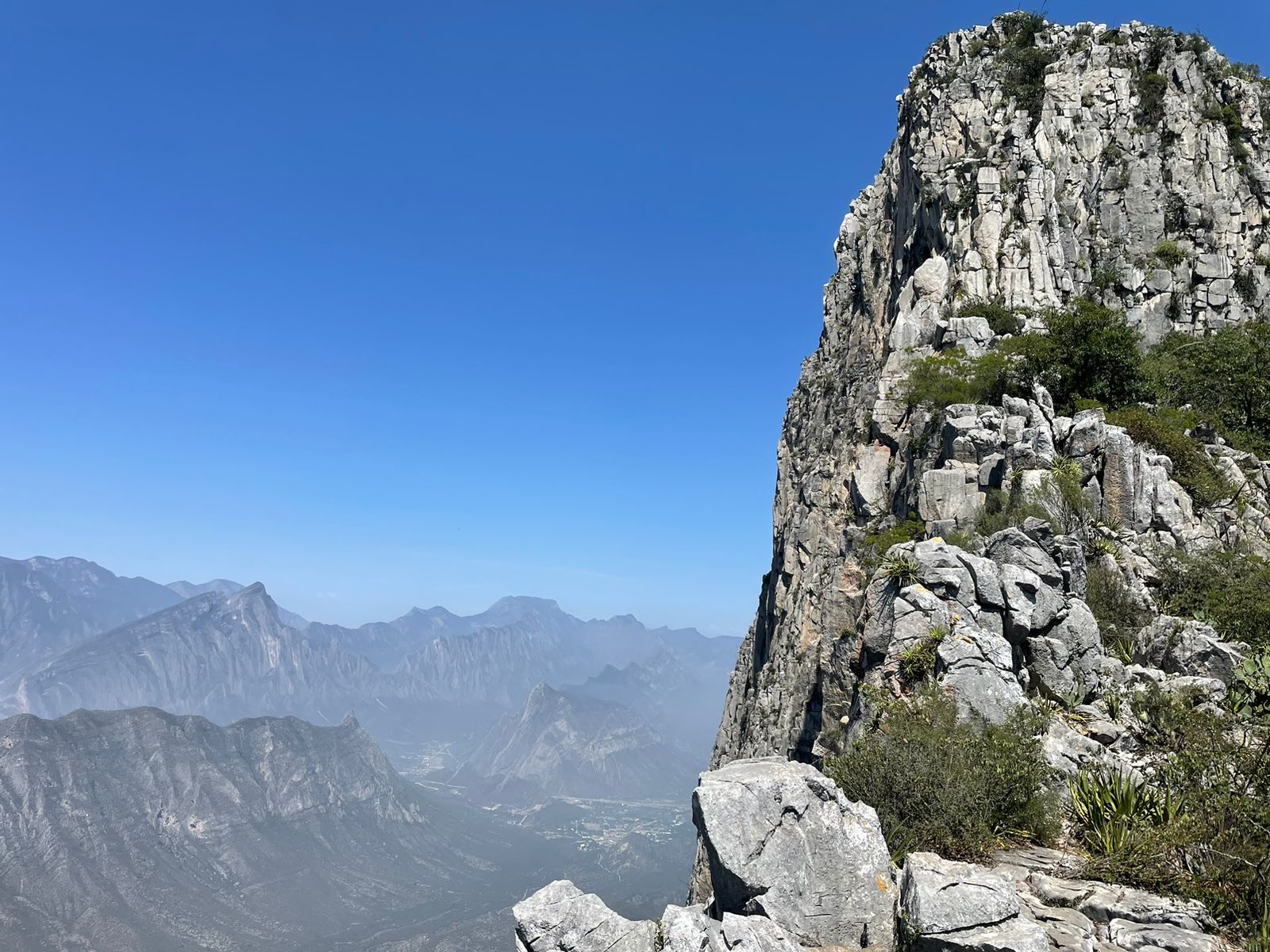
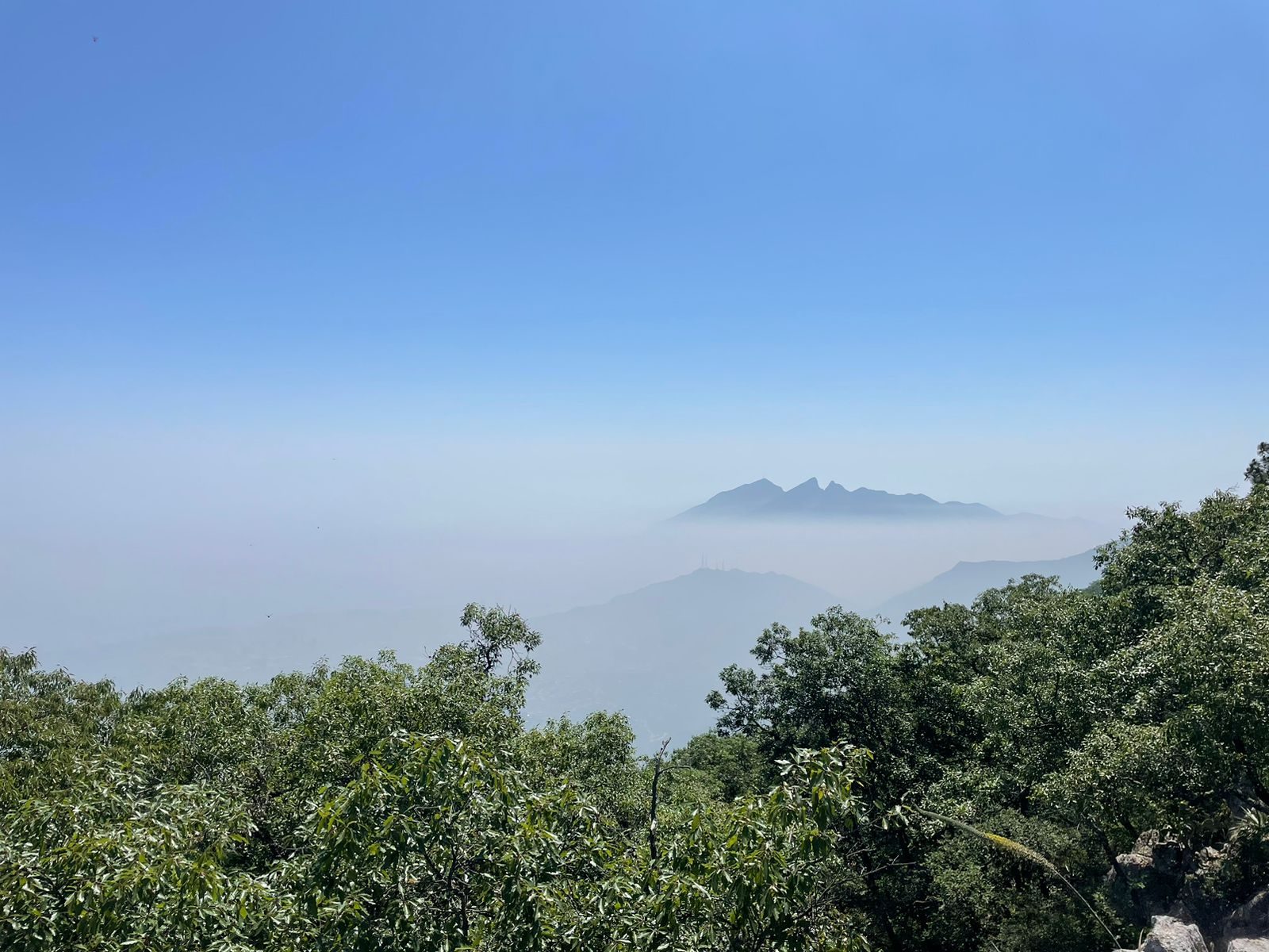
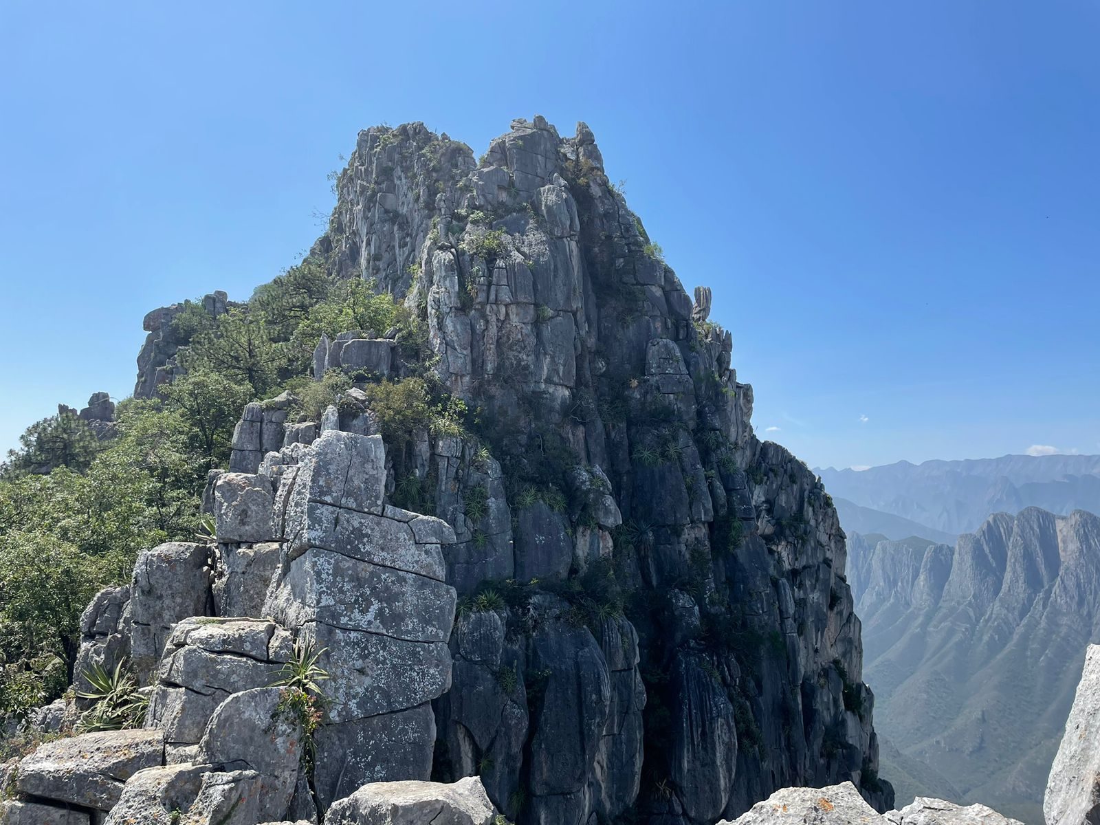
Calabaceñas, San Pedro Garza García
Parque Nacional Cumbres de Monterrey
Zone: Cumbres de Monterrey
- Elevation gain
- 1624 ft
- Distance
- 0.9 mi
- Time
- 1 h 8 m
- Altitude
- 5853 ft
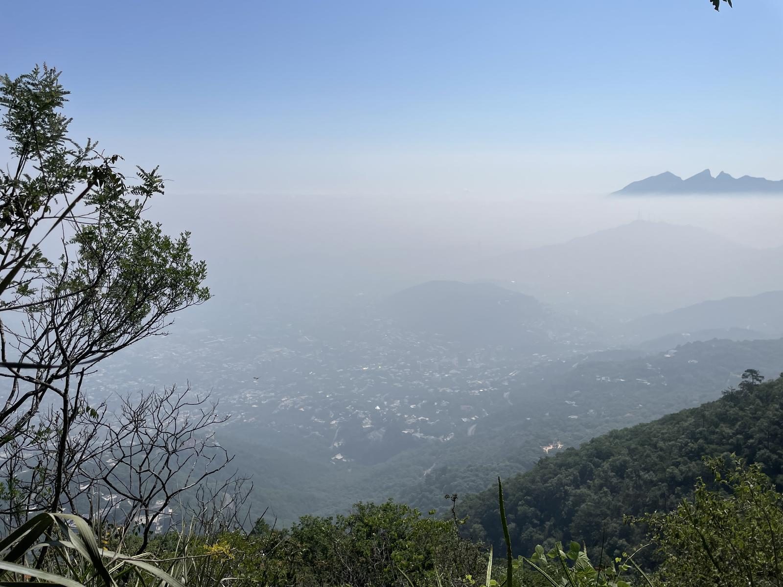
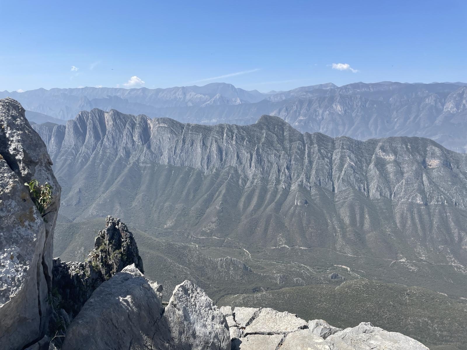
You are in the south of San Pedro Garza García on one of the routes with the best views of the city and with shade all the way.
📢 Alerts & Updates
This route can be carried out in any season of the year.
Level
i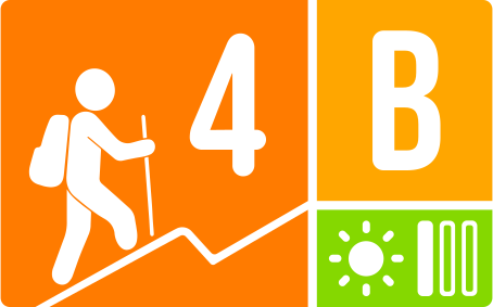
Packing List
How to get there
Trailhead Access
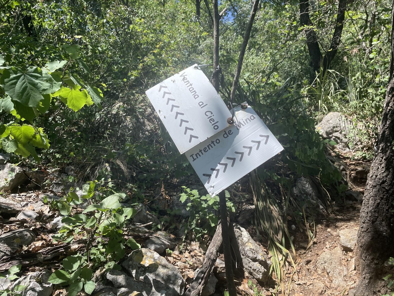
The beginning of the trail is visible and is marked with signs that indicate access. To get to Calabaceñas you have to climb Gómez Morín until you reach the Olinalá and Palmillas booth. To enter the colony you require PERMISSION from a local resident.
Parking Information
When you reach the end of Santander Street, you will find a large space where you can park. Right there you can see a series of signs; because the beginning of the route is very close to some residents' houses, the signs ask for silence and care when entering and in the same way a series of mountain rules.
Fees & Park Hours
At no cost.
Trail Overview
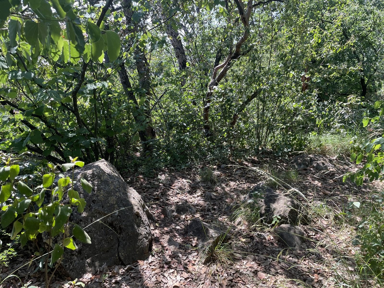
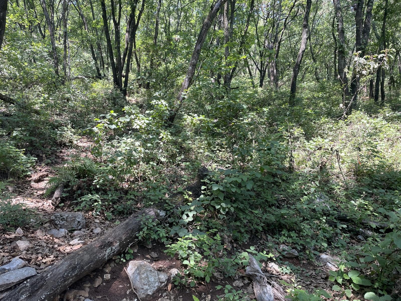
The route is very easy to follow, it has only one path in what is the initial part of the trail which is almost perfectly marked and also marked with ribbons. Until you pass the midpoint of the route, there are a few intersections, but if you have experience in the mountains it will be easy to distinguish the wrong path since it would not continue afterwards. On the second part of the route (entering the wider forest) the route is not as marked as it will be covered by leaves that fell from the trees. In this part you should climb almost in a straight line.
Recommended Gear
- Sunscreen - Insect repellent - Complete first aid kit (antiseptics, analgesics, anti-inflammatory drugs, gauze, small and large bandages, razor, antihistamines, electrolyte powder, cotton, sterile gloves, antibiotic ointment). It is not recommended to climb at night due to the likelihood of an encounter with an animal in the area such as: Bears, pumas, coyotes, snakes, etc.
What to Expect on the Trail
i
Elevation Gain
495 m
Total Distance (Out & back)
1.46 km
Total Time
1 h 8 m
Max Elevation
1784 m a.s.l.
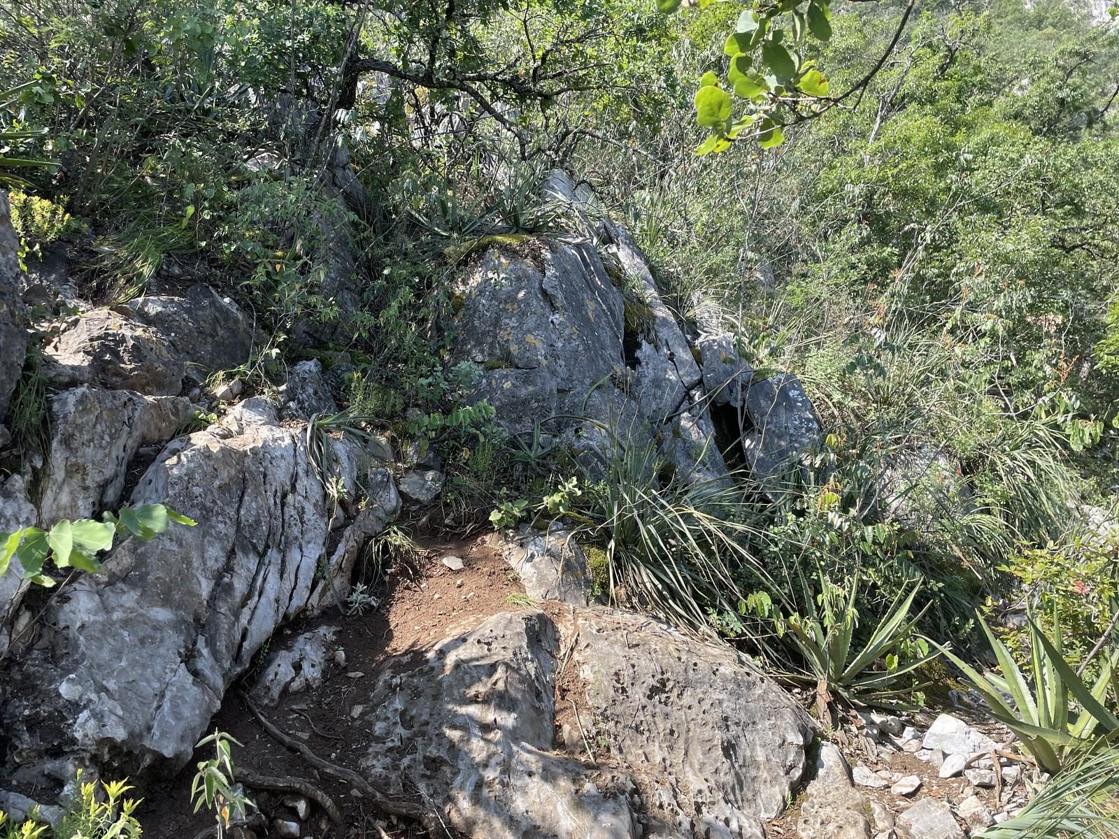
This route has a level 3 physical difficulty based on our difficulty classification metric. This means that the slope falls between 400 and 600 meters. However, because the route has an extremely steep slope, it is documented as level 4. The last 1/4 of the path changes from a rocky, sloping surface to a forest with tall trees and a pleasant climb.


