
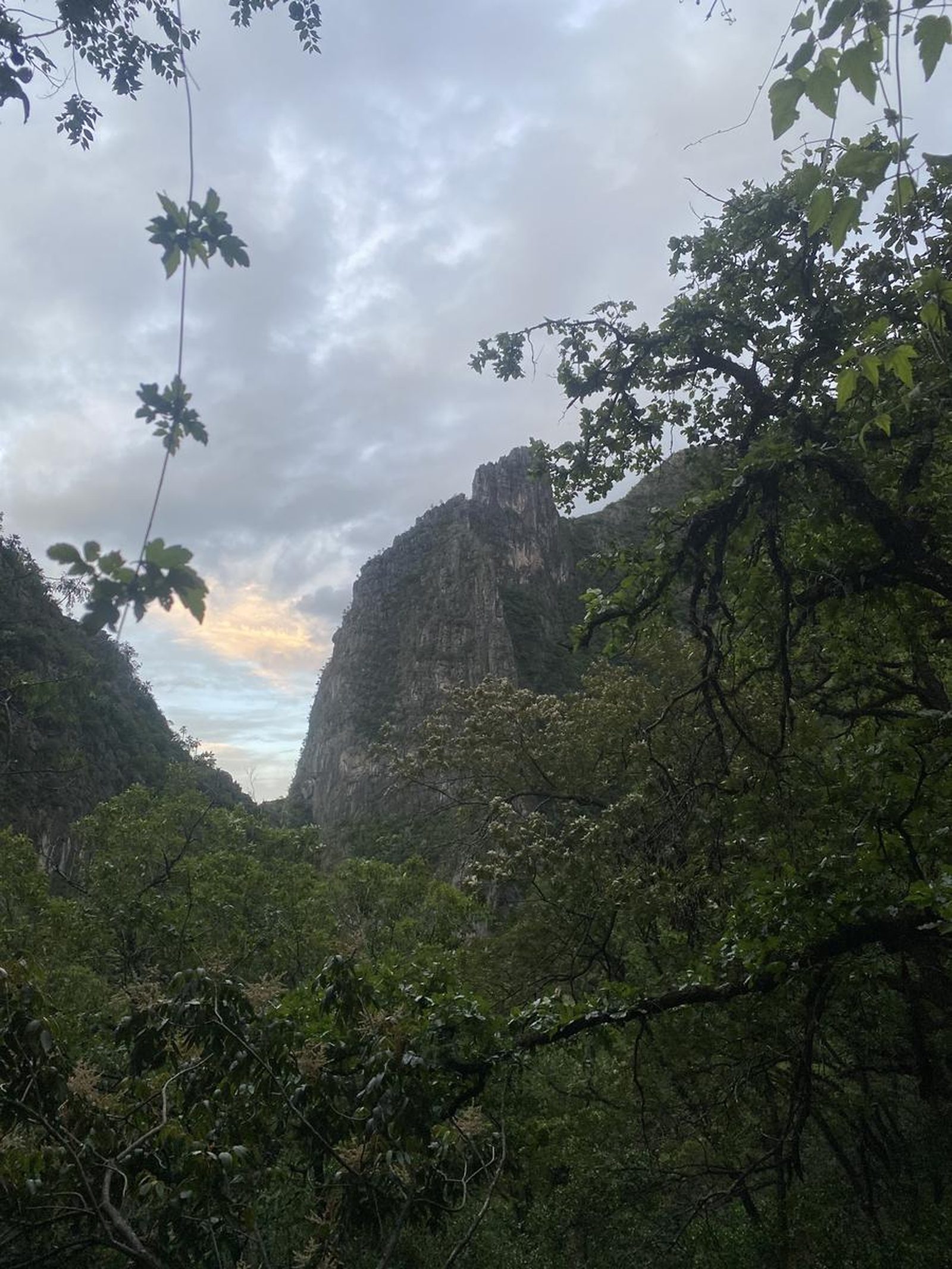
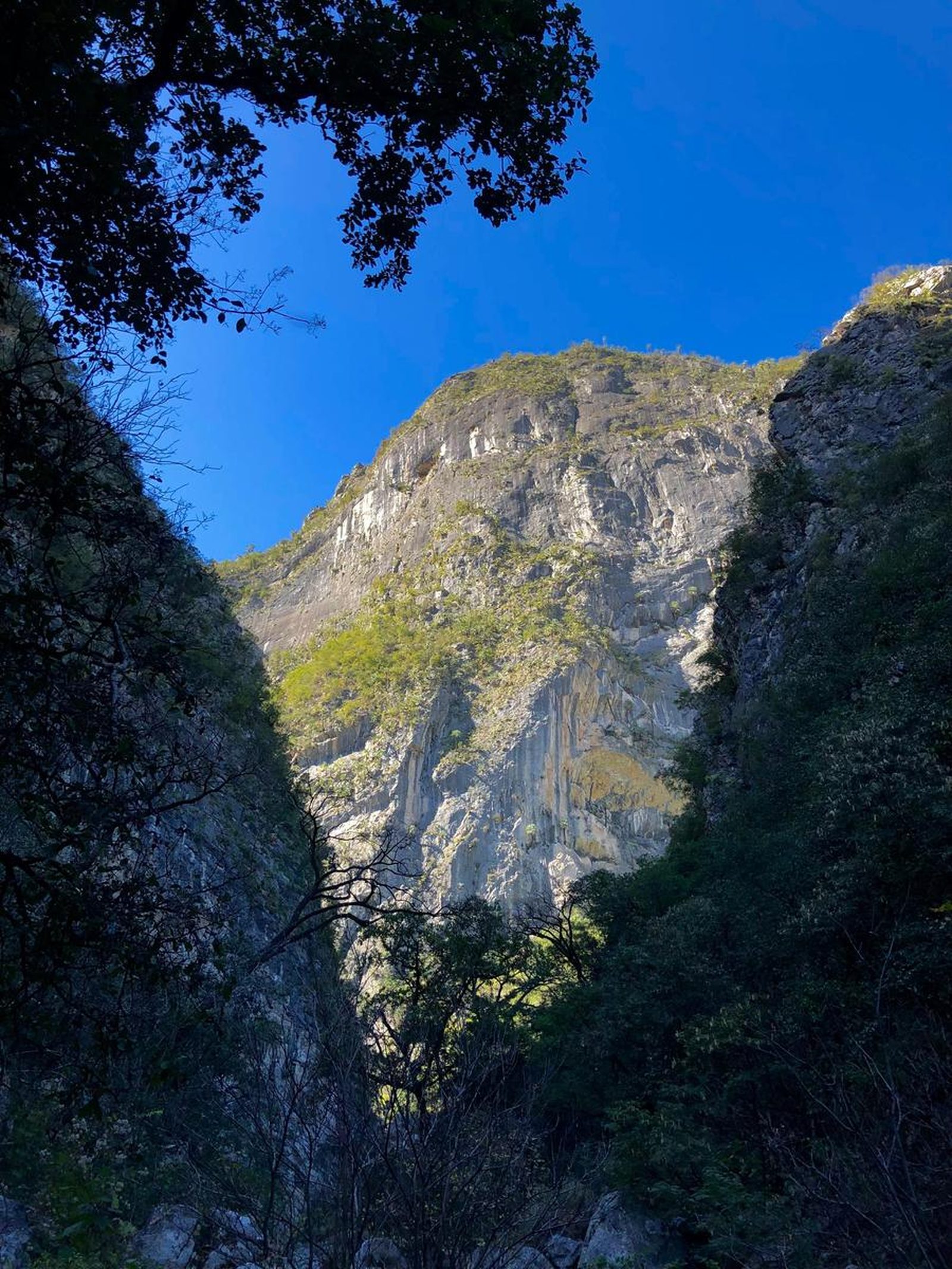
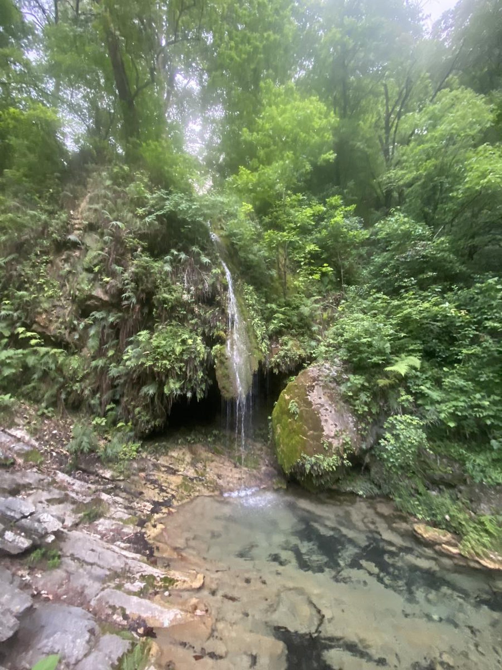
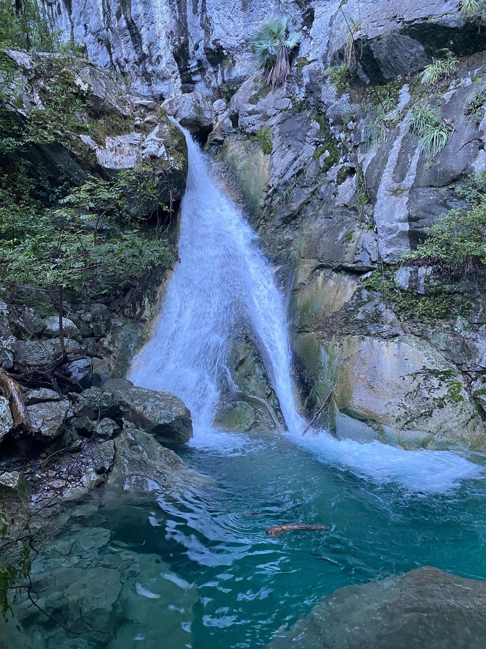
Cañón de la Virgen, Monterrey
Parque Nacional Cumbres de Monterrey
Zone: Cumbres de Monterrey
- Elevation gain
- 1394 ft
- Distance
- 5.9 mi
- Time
- 2 h 49 m
- Altitude
- 3560 ft
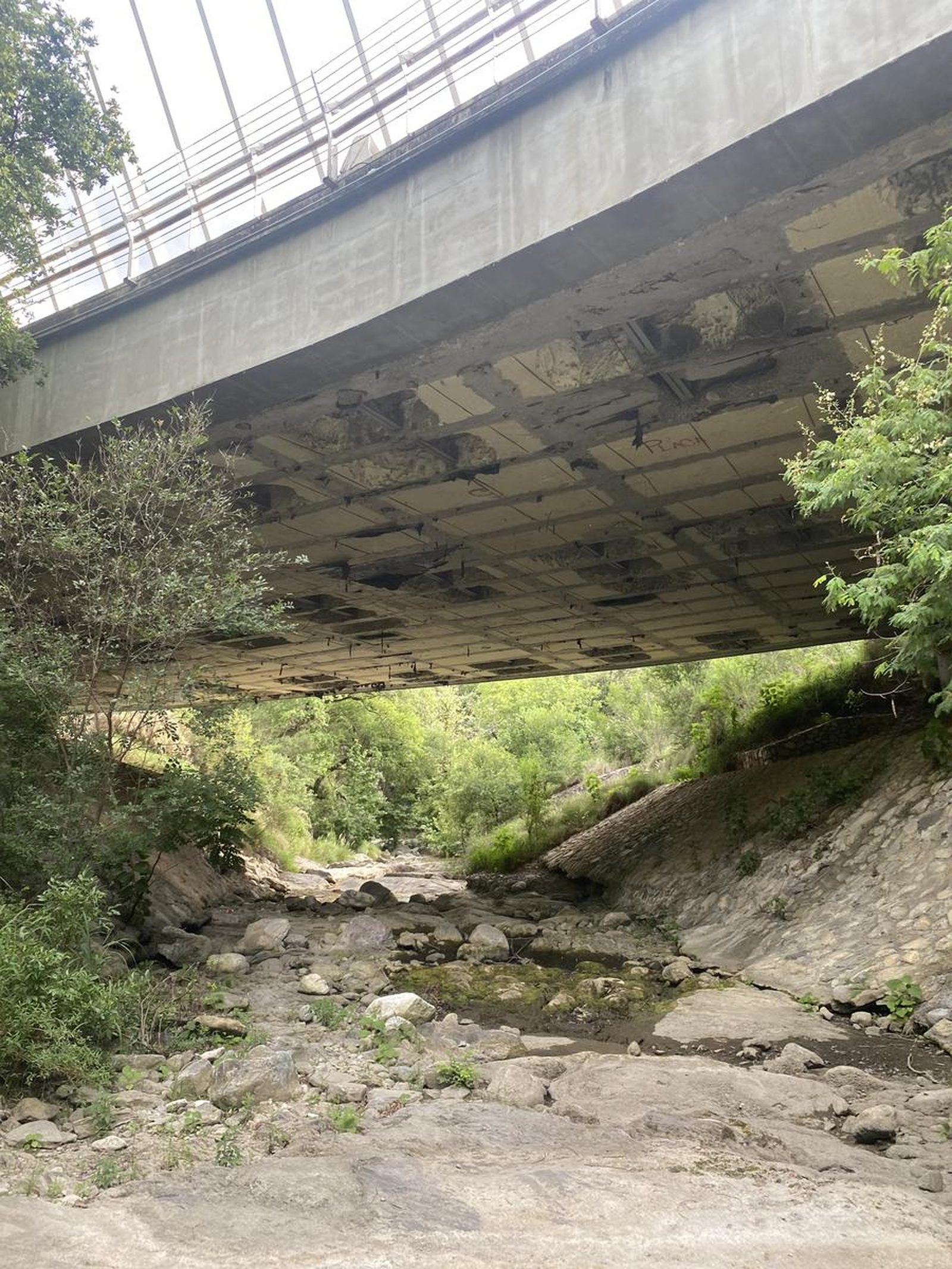
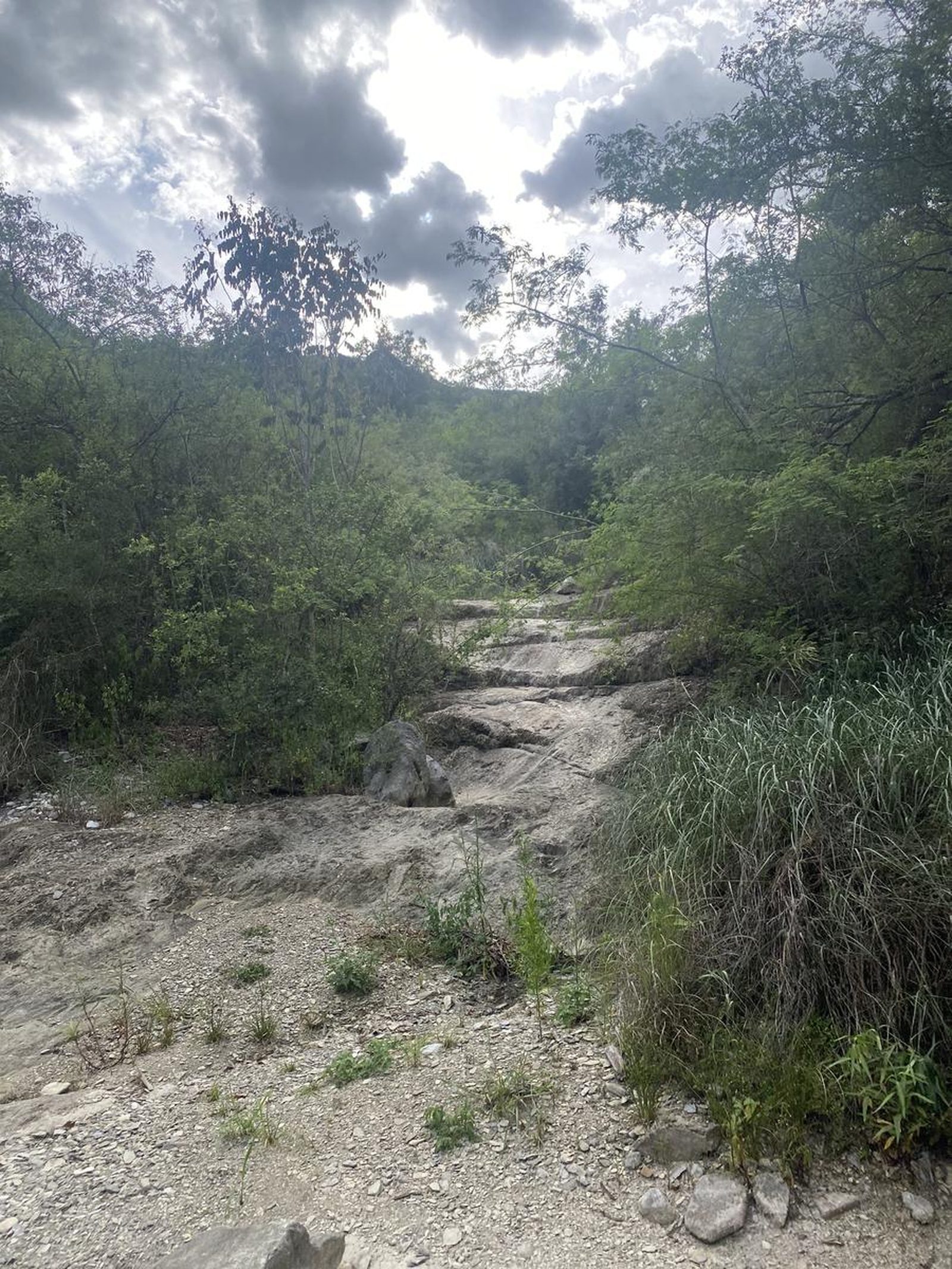
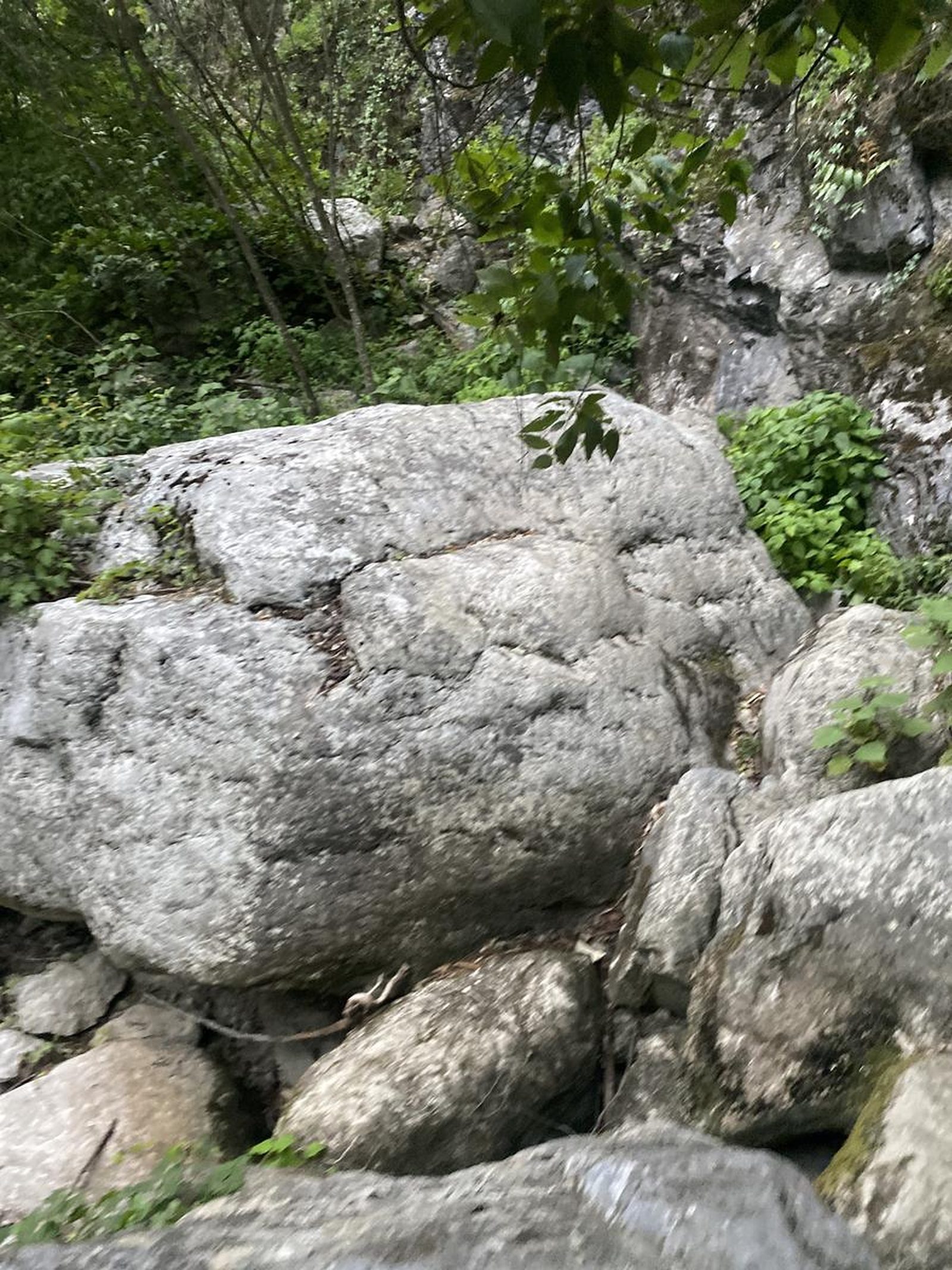
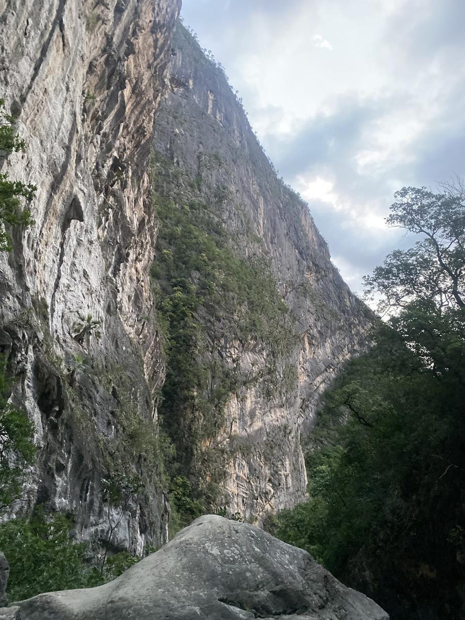
You are in the Cañón de la Virgen, an intermittent stream that carries water only during the heavy rainy season.
📢 Alerts & Updates
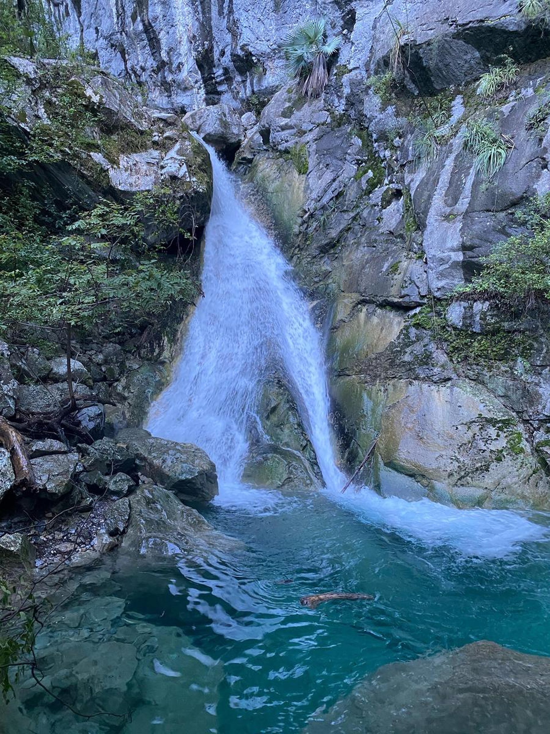
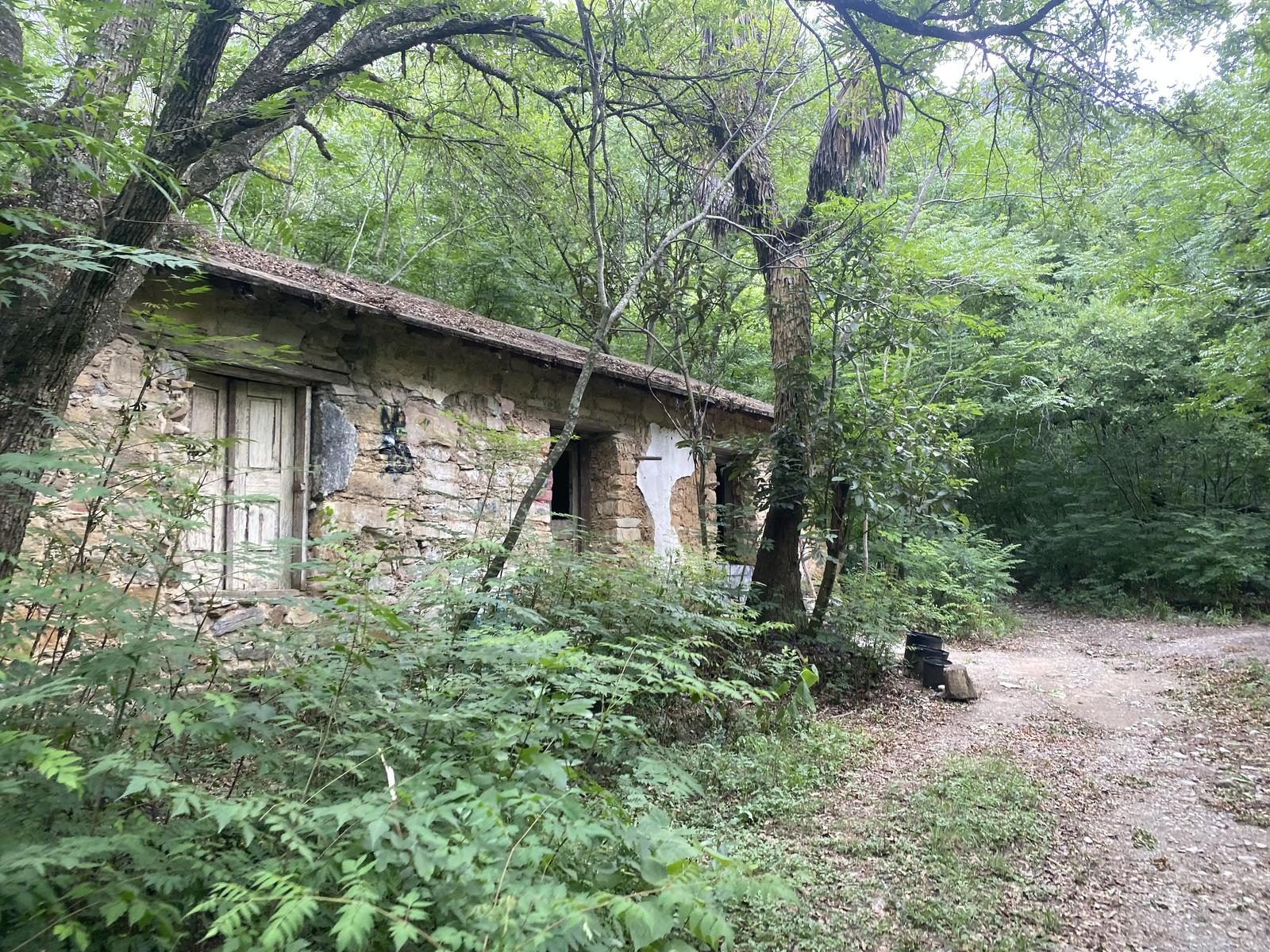
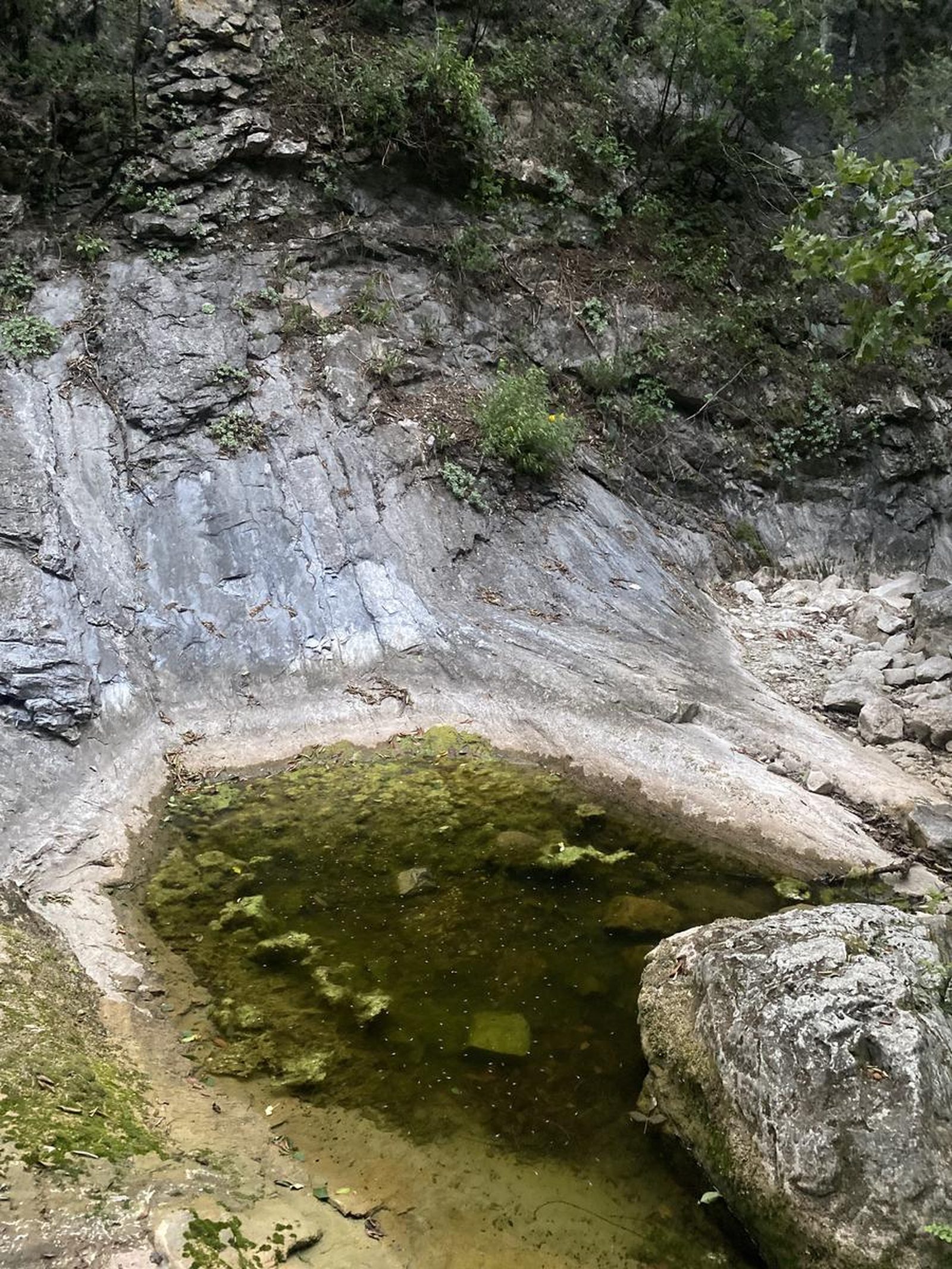
In the past, this route was closed on multiple occasions due to the high concentration of visitors. As this is a residential area, the high flow of vehicles, the accumulation of garbage and even the bonfires led to a gate being installed to restrict access and a guard being assigned to prevent passage. (This guard is located at the point marked “Cabaña” and sometimes carries a machete to clear the trail and wears a mask to avoid being bitten by mosquitoes.) It is recommended to act with respect and kindness: if for any reason you are denied access, do not argue and leave the place. It is forbidden to play speakers and it is mandatory to pick up the garbage you find, especially in the section between the cabin and the entrance, where there is usually more accumulation. The guard is solely responsible for collecting the garbage and your support is essential to keep this path clean and open to the public. The route only has water during the heavy rain season, with the exception of the last waterfall “Cascada del Pony”, it is usually a dry route. This route can be done comfortably in any season of the year, we only recommend that you exercise extreme caution in hurricane seasons since the river's flow increases considerably with heavy rains.
Warnings



Level
i
Packing List
How to get there
Trailhead Access
To get to the beginning of the route from Monterrey you have to head towards the National Highway and before reaching the HEB La Estanzuela take the frontage road and turn right on Av. Valle Alto until you reach a Y, where there will be some Benavides pharmacies and an Oxxo. At this point we will turn right again on Avenida Sierra Alta and drive down this street for about 7 minutes until we pass a large park on the left side of the avenue. It will be very characteristic due to its large parking lot, exercise equipment and large oaks.
Parking Information
The designated parking lot for this route is located in Sierra Alta Park.
Fees & Park Hours
As of June 2025, this route does not involve access costs. However, starting from the point called “Cabaña” there is usually a guard watching the passage and may charge you to go through that supposedly private land, if you don't want to pay, the guard will tell you to continue through the stream.
Trail Overview
This is an unfrequented route and the path is not well marked for most of the route, as vegetation tends to hide the path. We recommend that you download and use the GPS from Wikiloc on your cell phone to avoid losing the trail and stay on the right track, since most of the way has a trail and it is easier to walk along it.
Recommended Gear
- Helmet - Whistle - Hands-free headlamp (miner type) - External battery (PowerBank) - Sunscreen - First aid kit - Thermal blanket
What to Expect on the Trail
i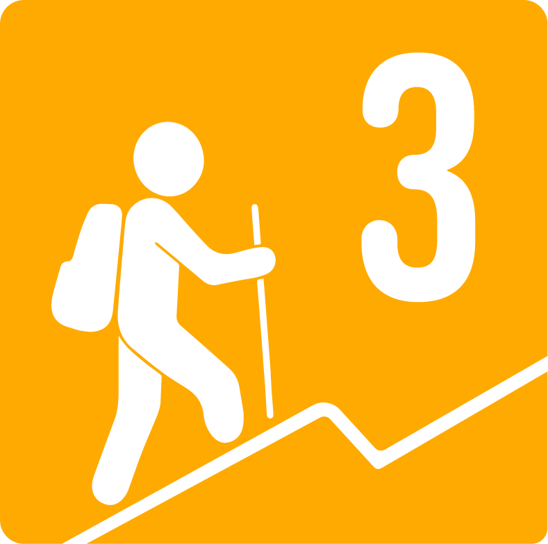
Elevation Gain
425 m
Total Distance (Out & back)
9.5 km
Total Time
2 h 49 m
Max Elevation
1085 m a.s.l.
According to our nomenclature, the physical difficulty of this route is level 3, covering about 9 kilometers in total and climbing just over 400 meters in altitude. This route could be compared to Cerro del Chupón or El Teleférico.


