
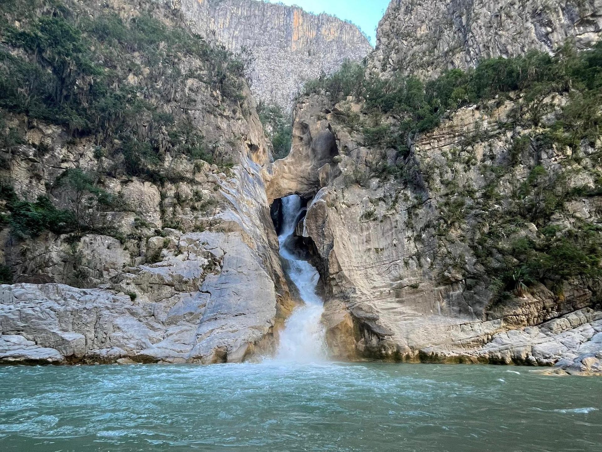
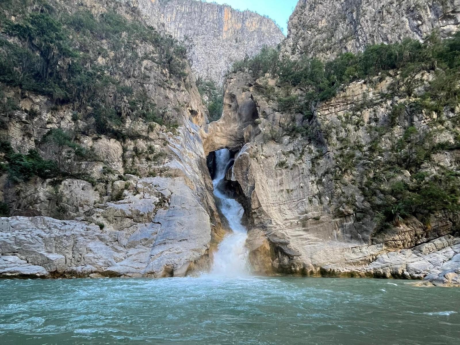
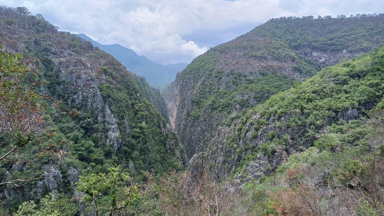
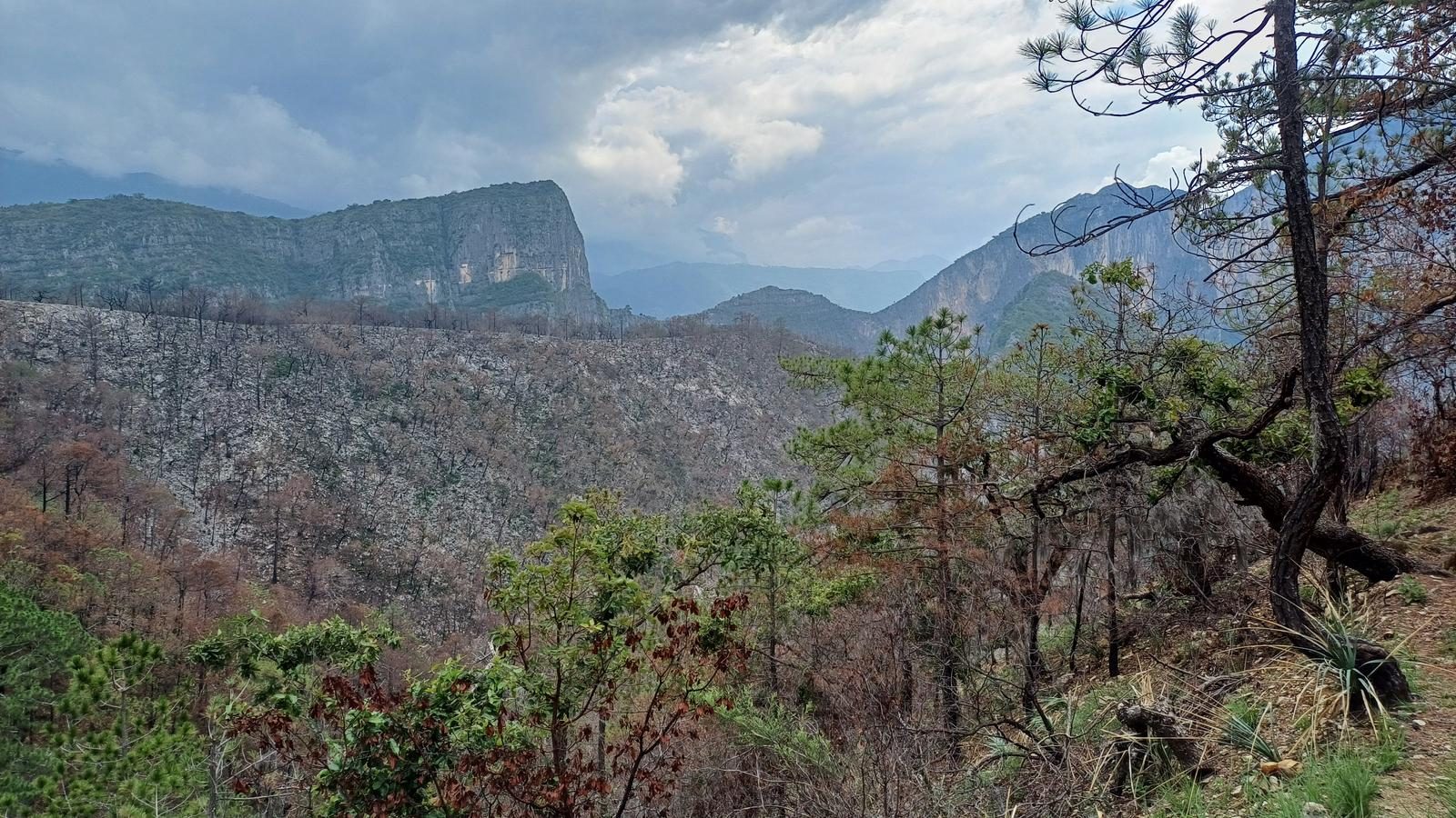
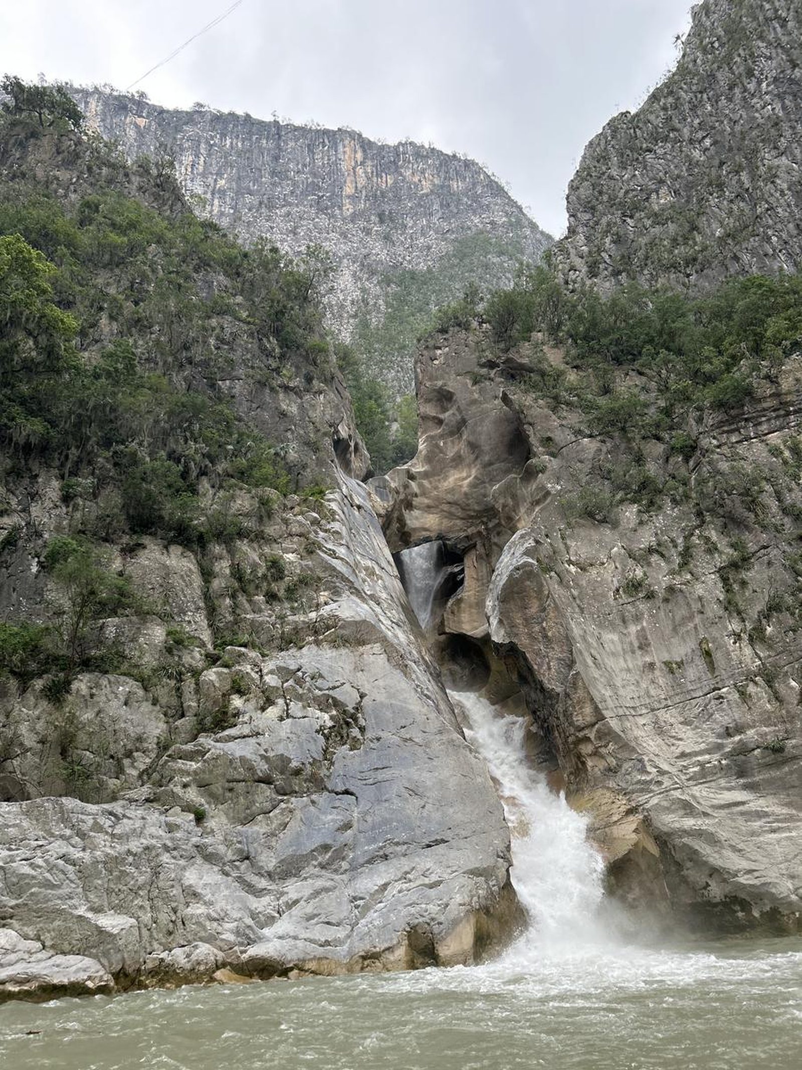
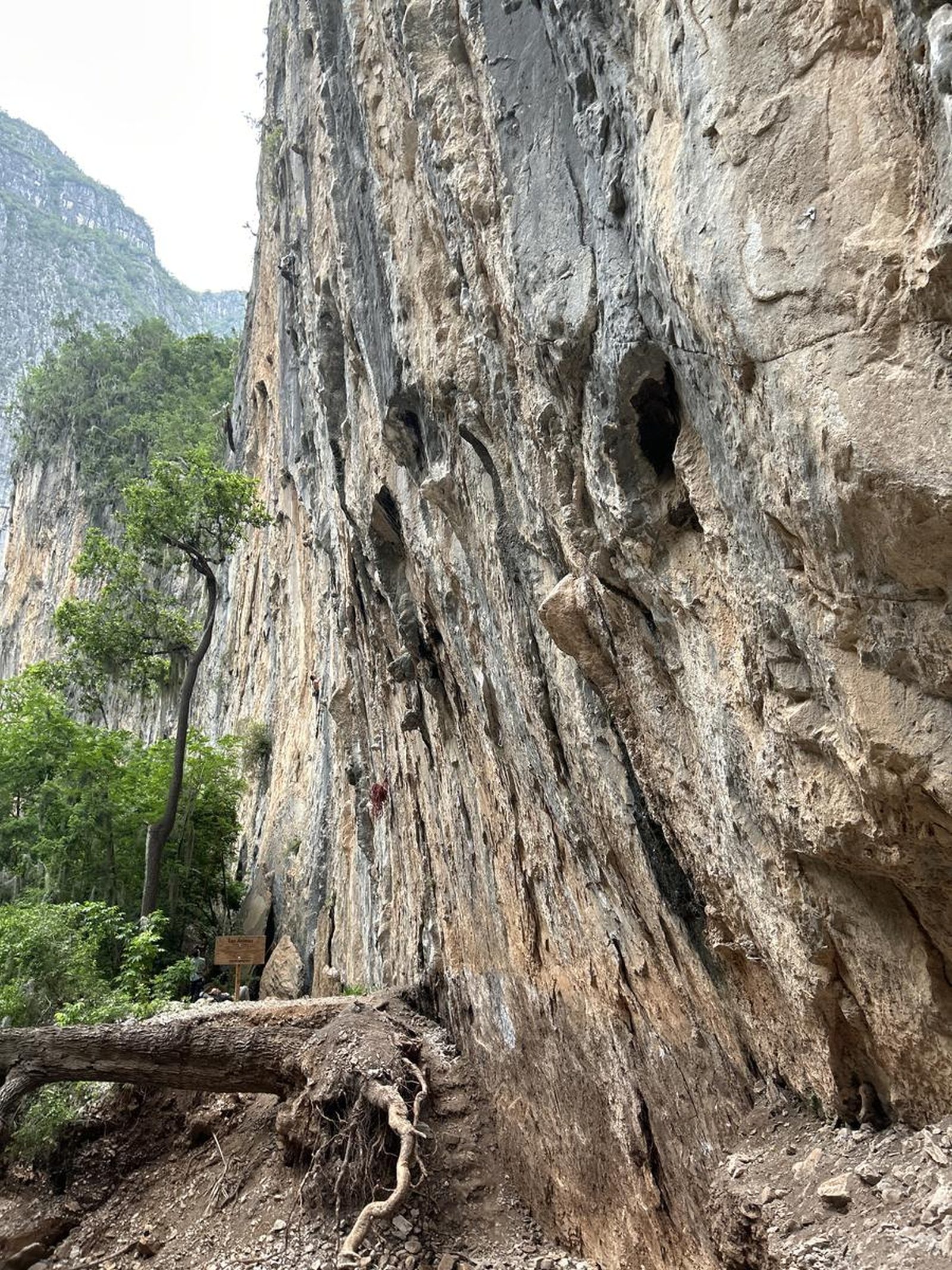
Cañón La Boca a Cascada El Salto, Santiago
Parque Nacional Cumbres de Monterrey
Zone: Santiago
- Elevation gain
- 1969 ft
- Distance
- 11.5 mi
- Time
- 5 h 5 m
- Altitude
- 5344 ft
You are in La Ciénega de González, a community in Santiago, Nuevo León.
📢 Alerts & Updates
This route can be done comfortably in any season of the year.
Warnings

Level
i
Packing List
How to get there
Trailhead Access
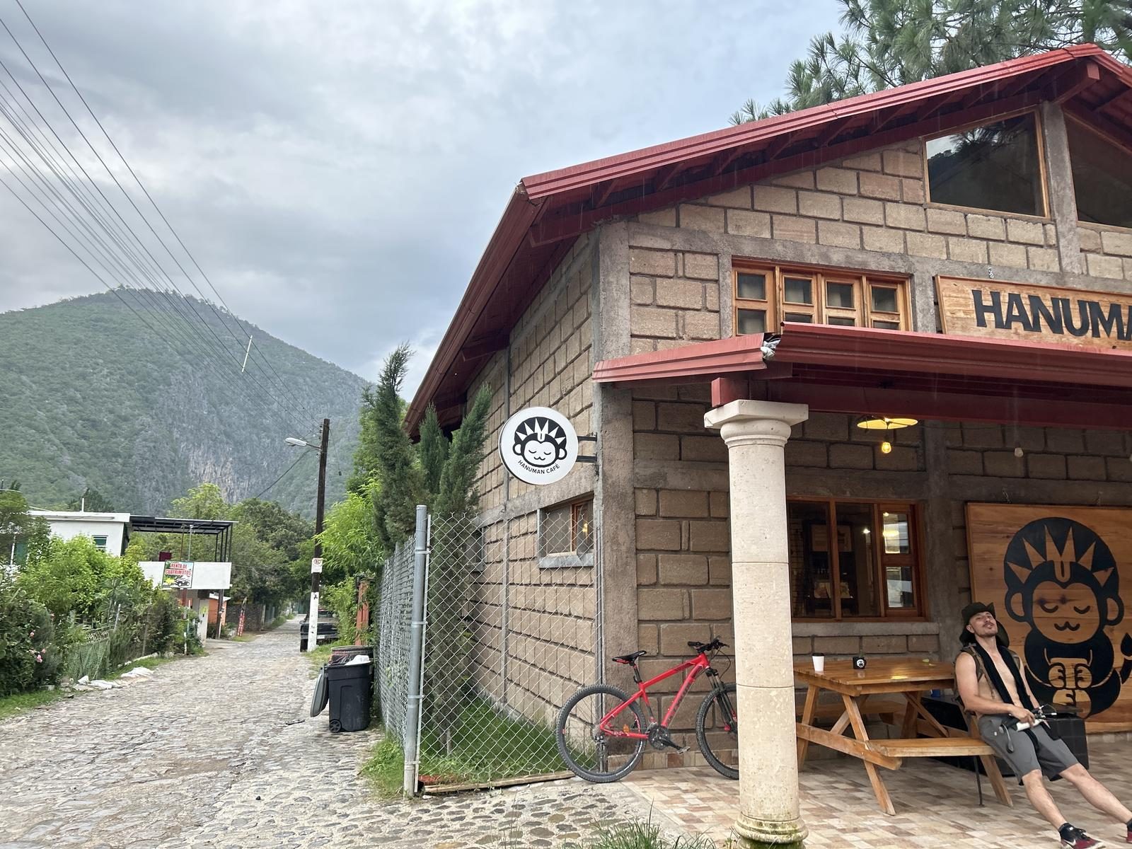
To get to the start of this route, we recommend searching Google Maps for: “Hanuman Café”. This cafe is very famous among climbers, mountaineers and locals. Leaving Monterrey to the South, we take the national highway, heading to Santiago. We will climb the Sierra as if we were going to the Horsetail, and continue climbing. Later we will pass Puerto Genovevo, this is a dirt road that begins to descend, (it takes you to Matacanes and other canyons). We continue climbing the Sierra on the road. From this point on, there are quite steep climbs with cliffs on the sides, so it's important to go with caution. After a few curves and climbs, we began to descend towards La Ciénega de González. In the middle of this descent, we will pass through the El Manzano de Vitro Park. After a few minutes you'll be there. The Hanuman Café is on the road you're coming from, so you just have to stay straight and on your right side you'll see it.
Parking Information
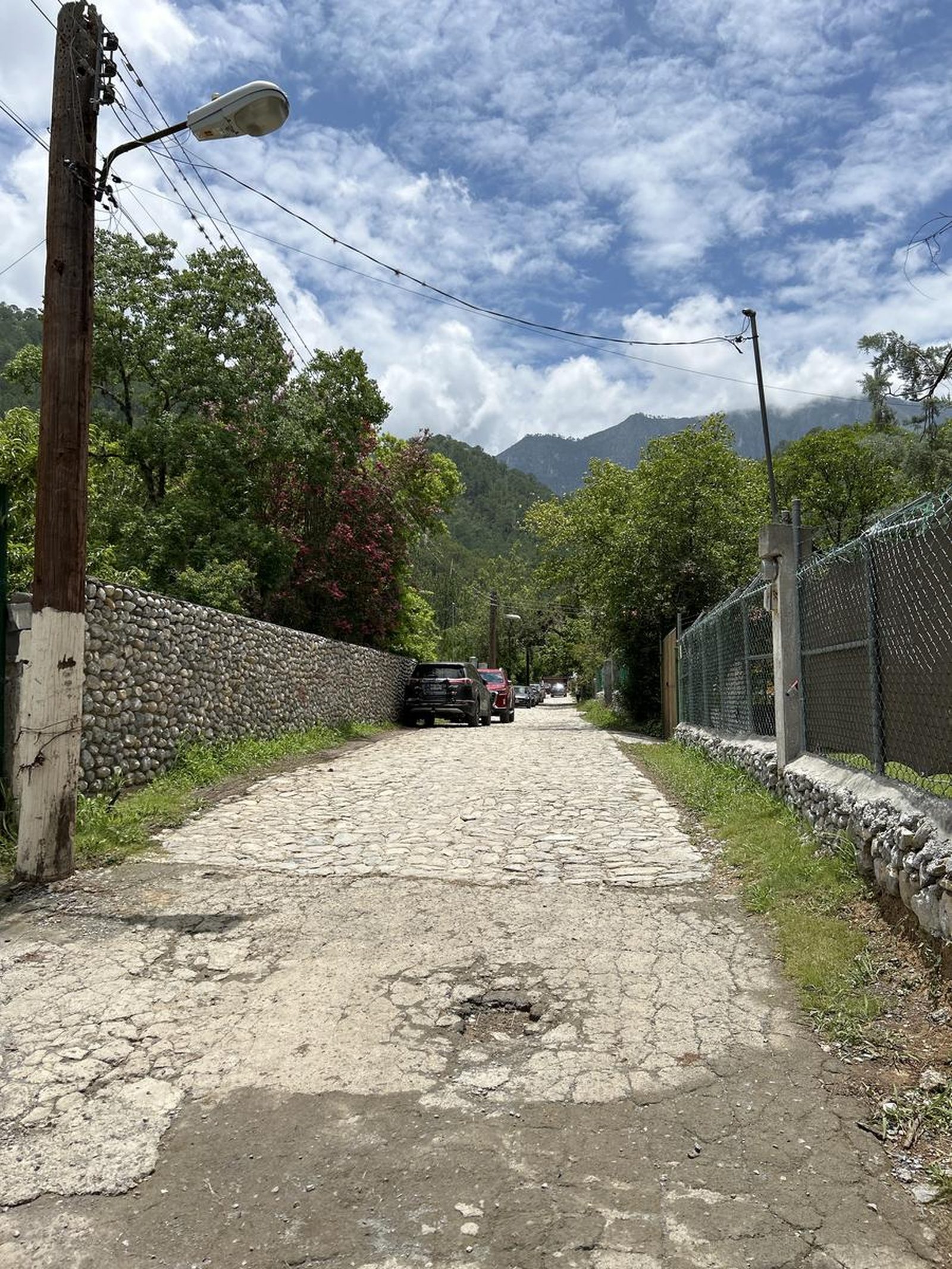
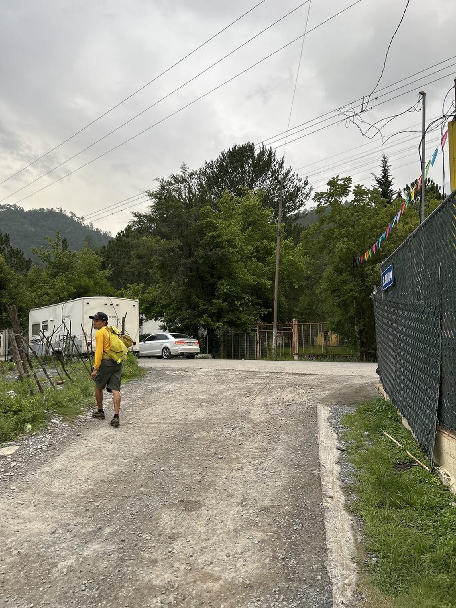
Next to Café Hanuman there is a long but very narrow street, usually a lot of people park there, but we must make sure that we do not hinder street traffic and/or block a car/exit from a house. We always recommend asking the locals.
Fees & Park Hours
No cost
Trail Overview
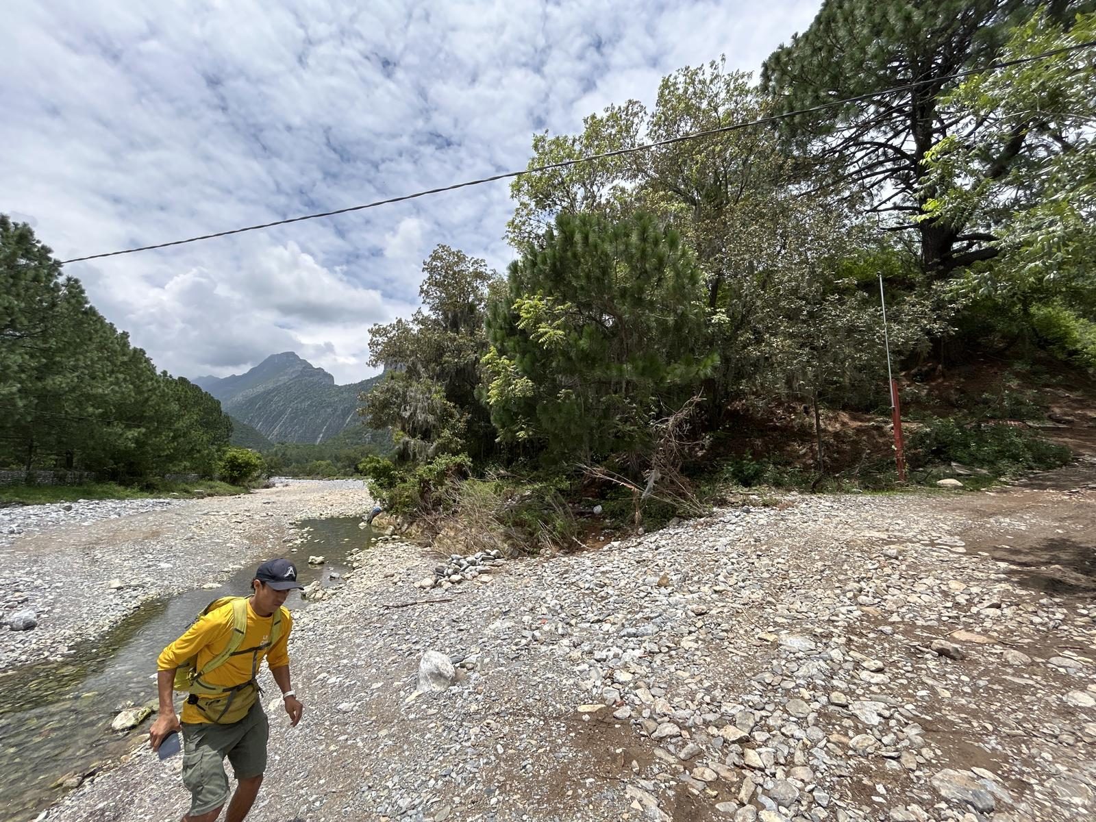
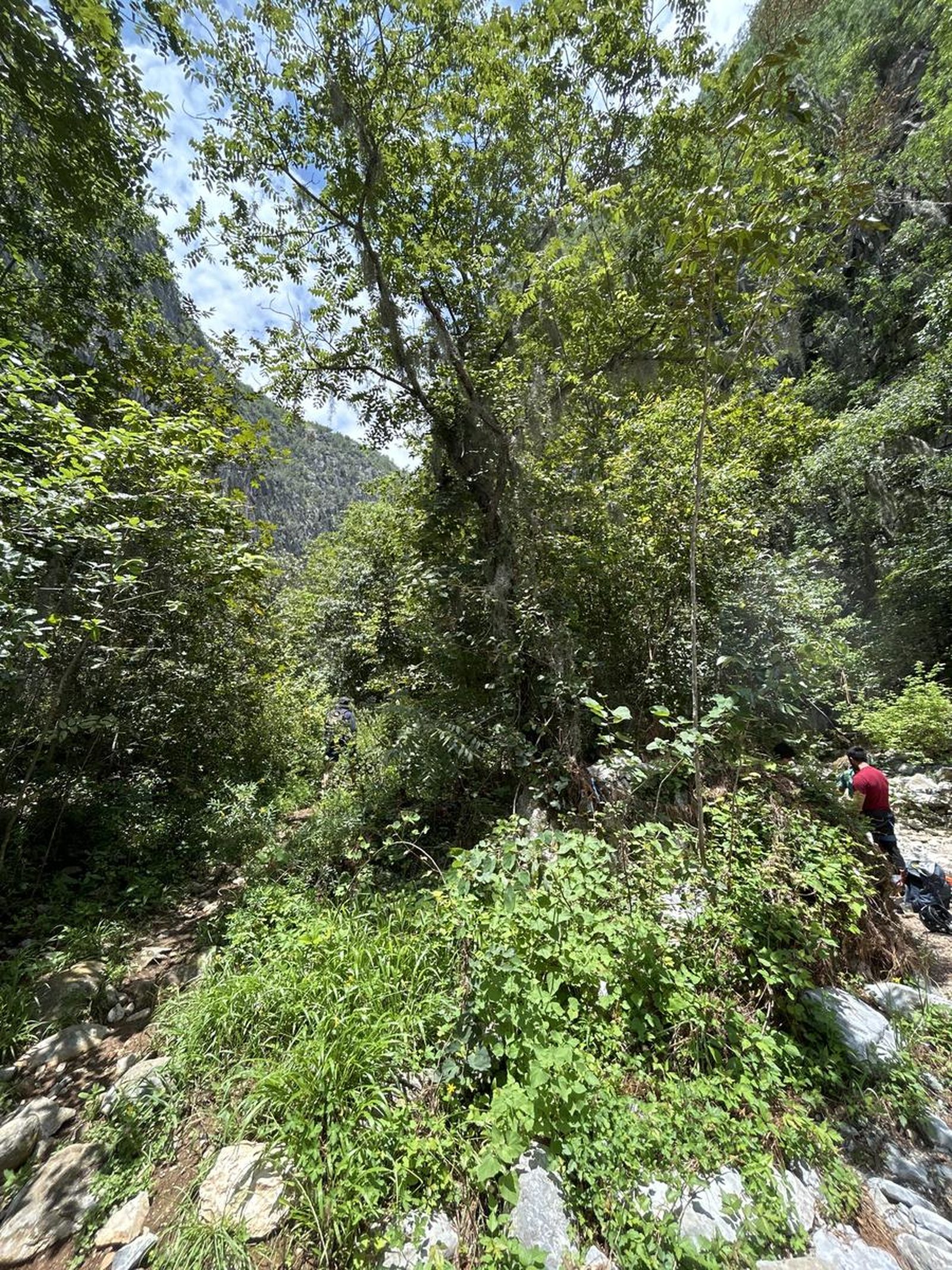
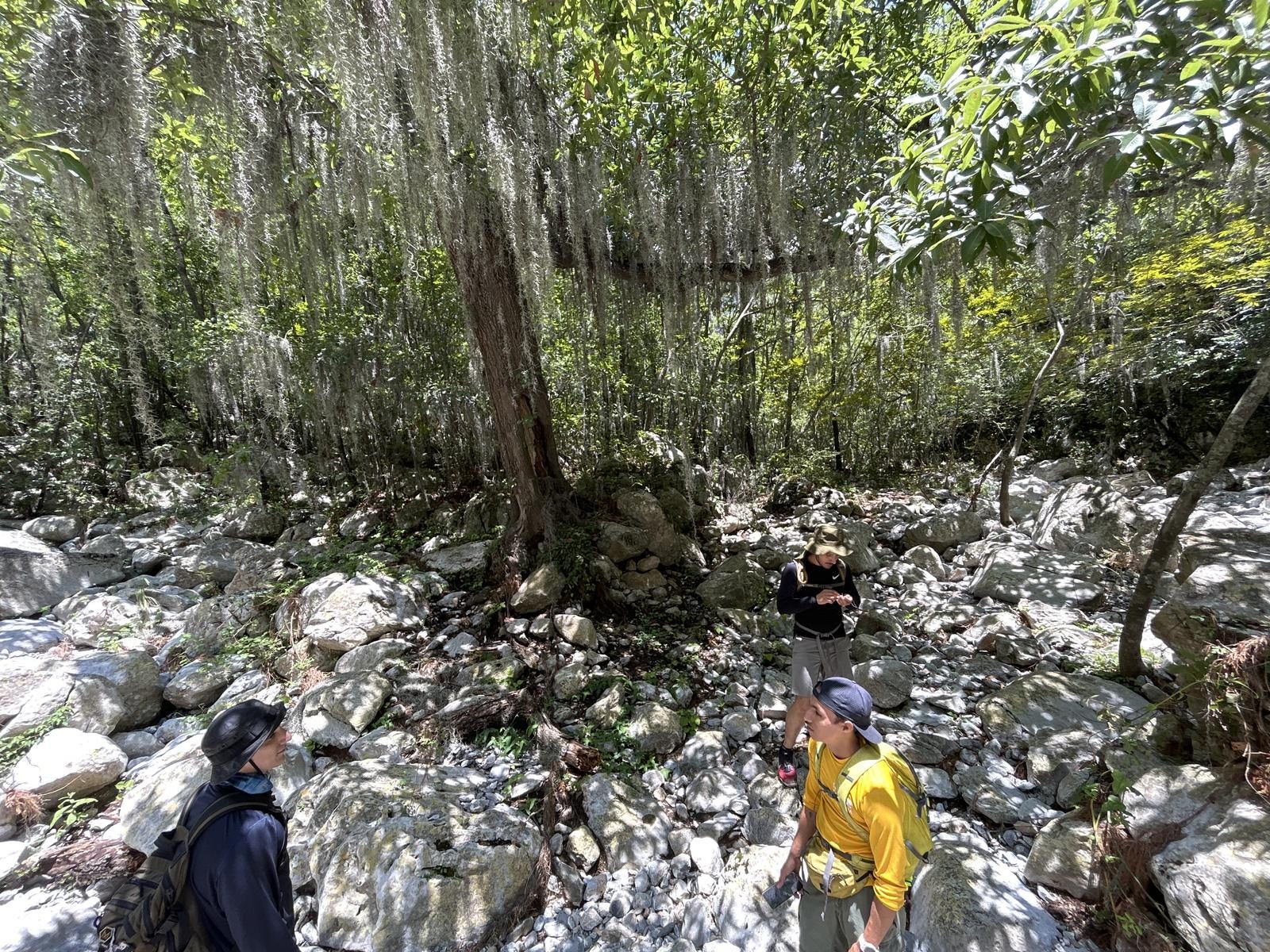
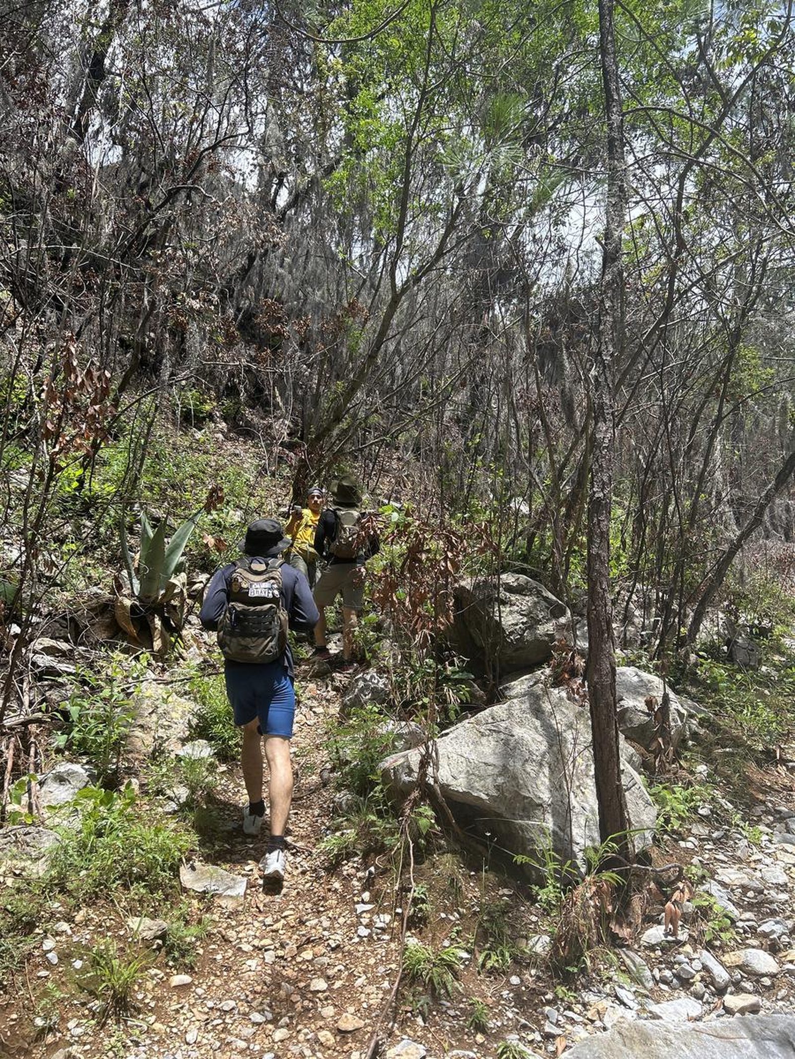
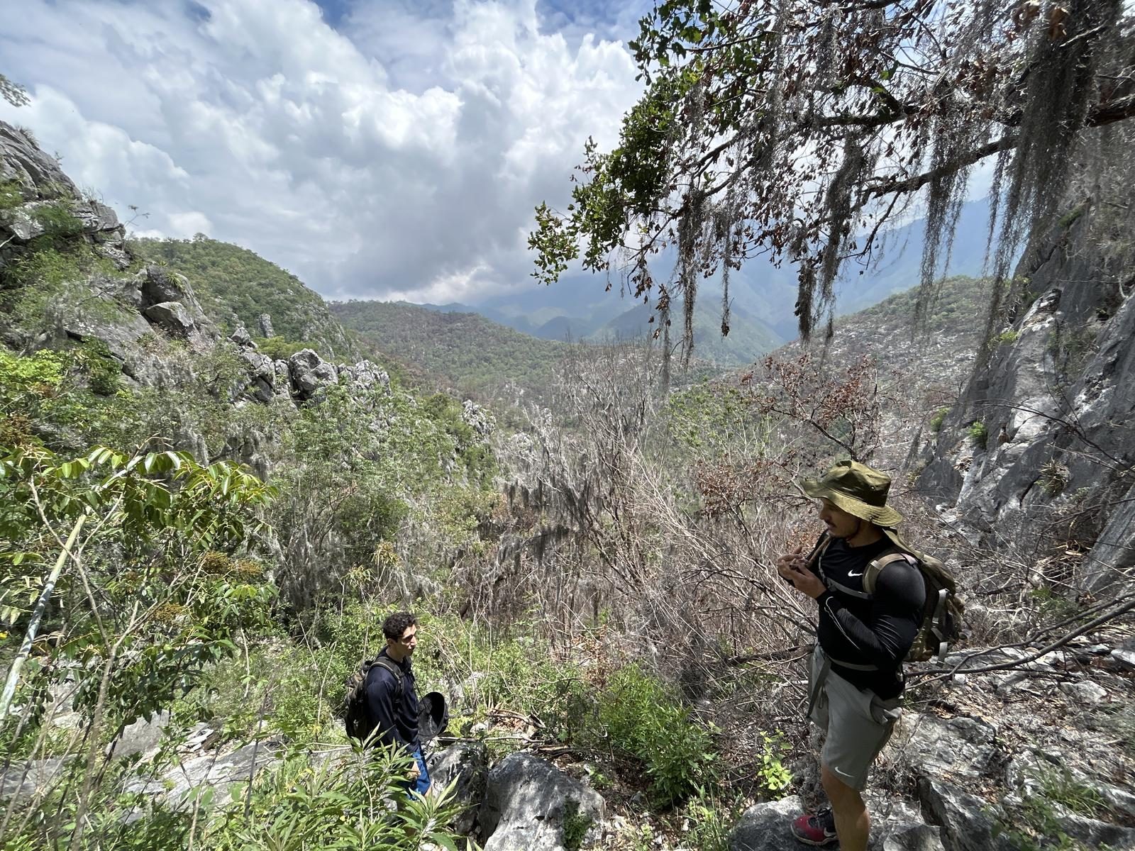
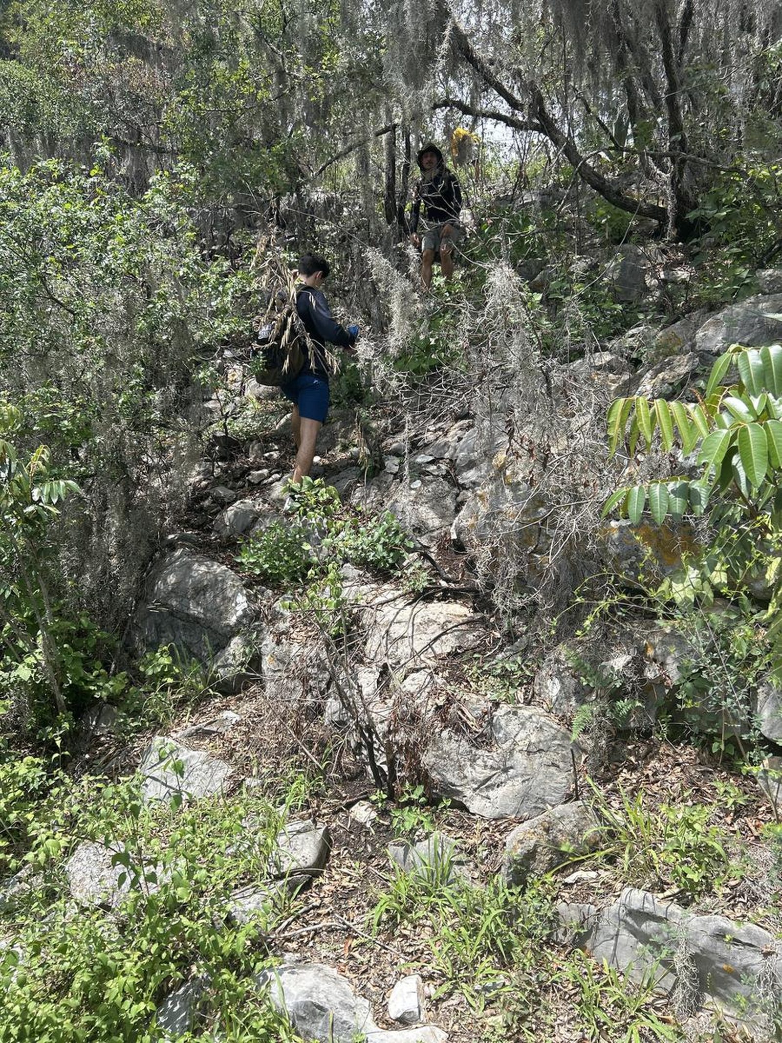
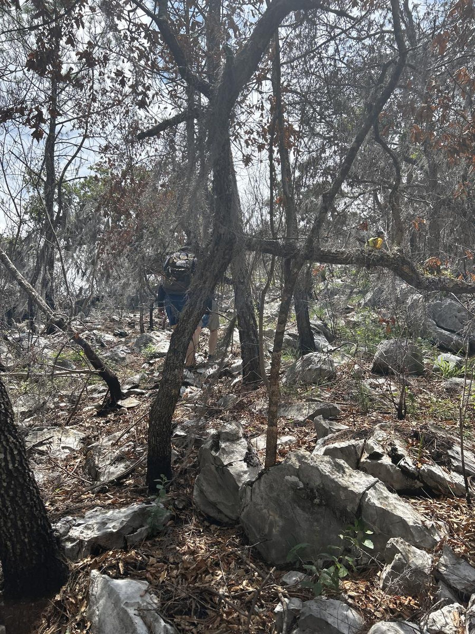
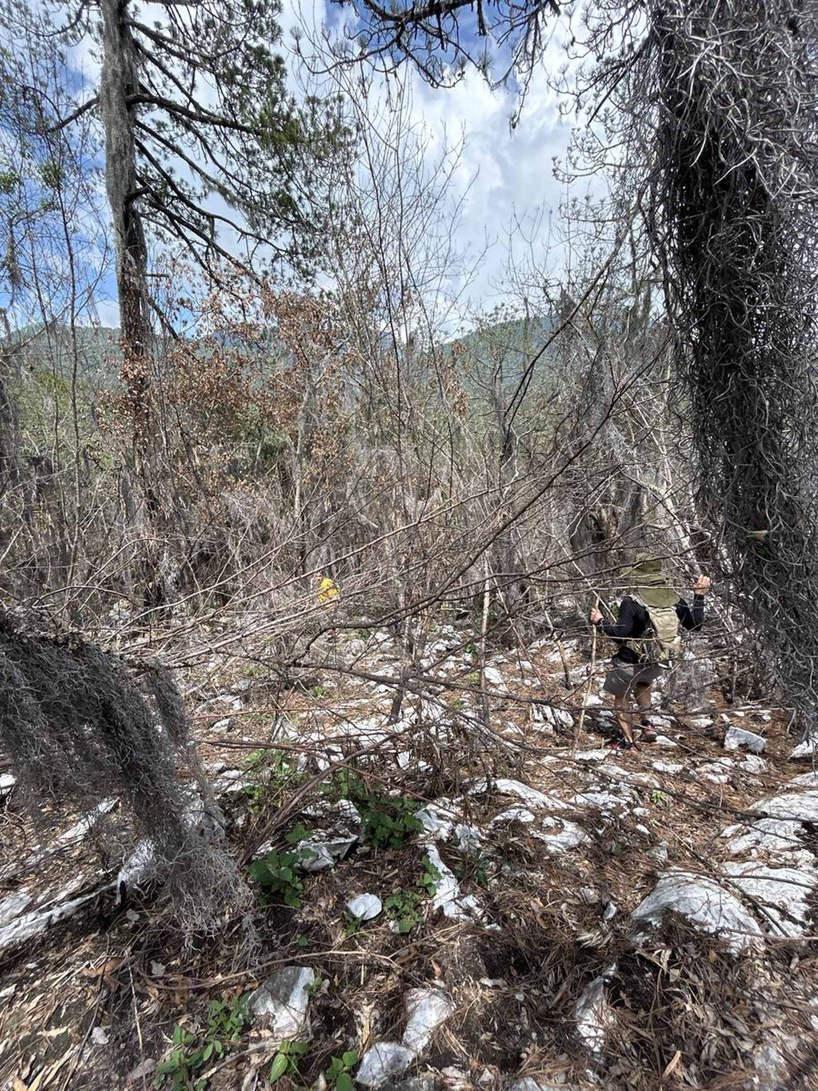
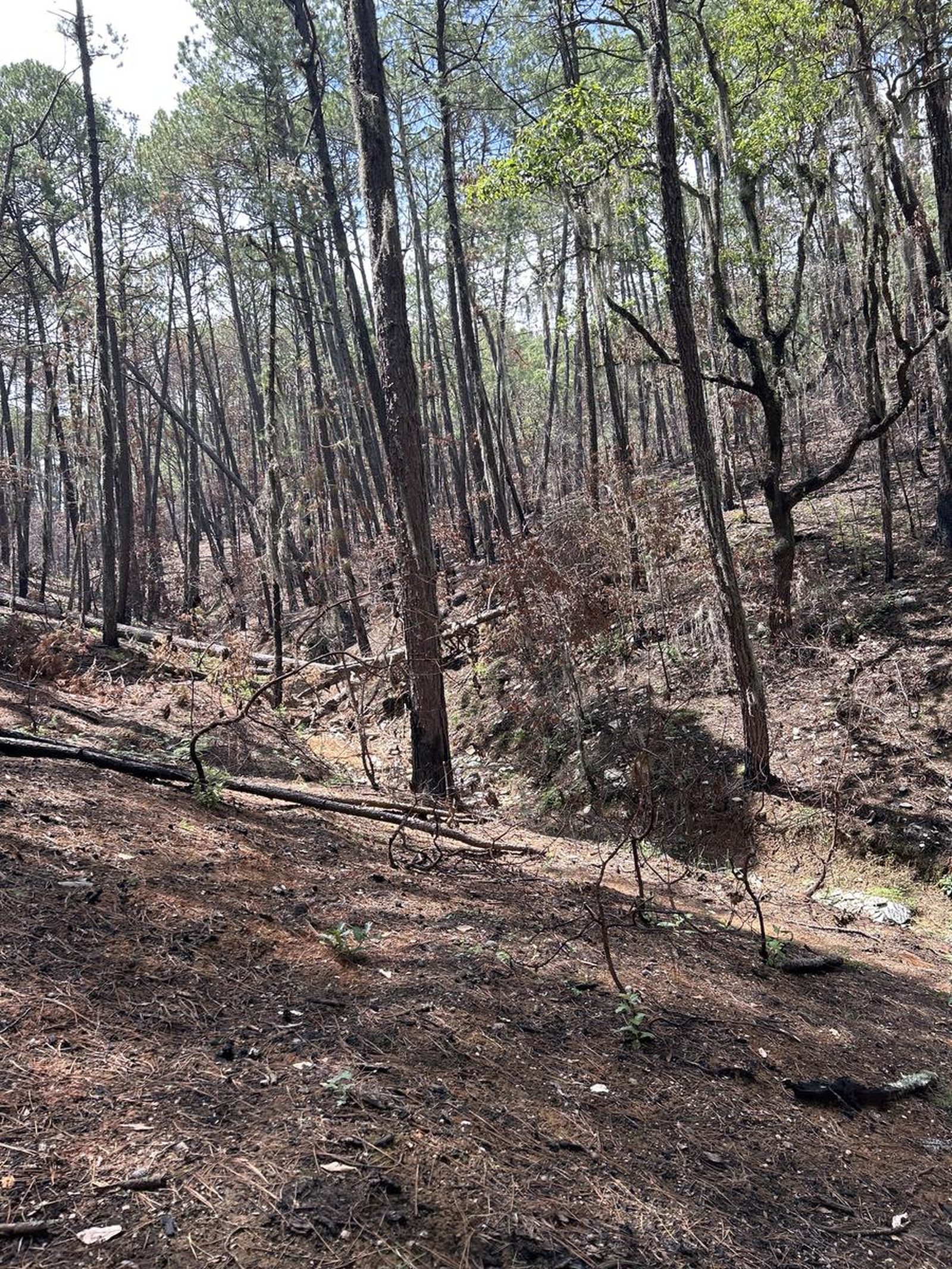
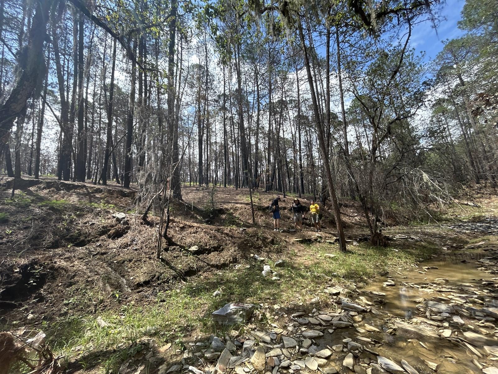
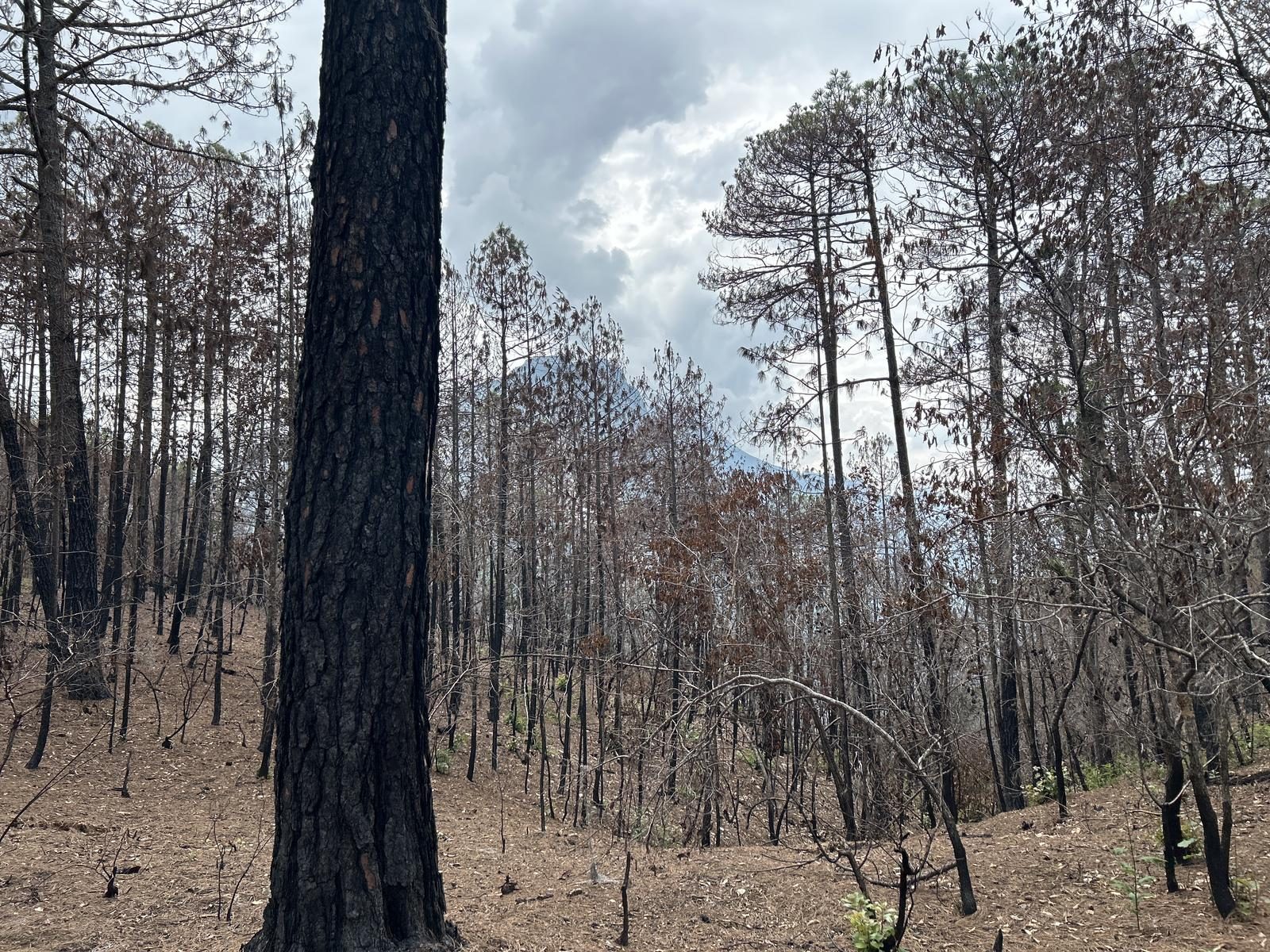
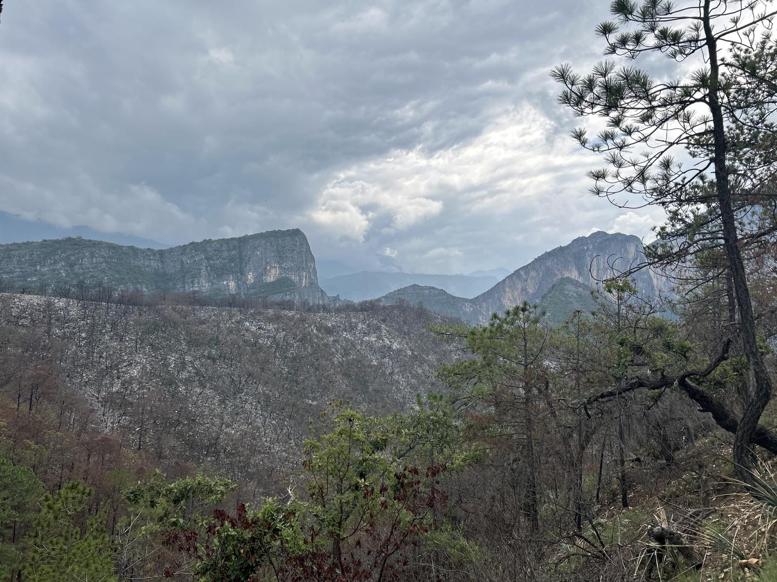
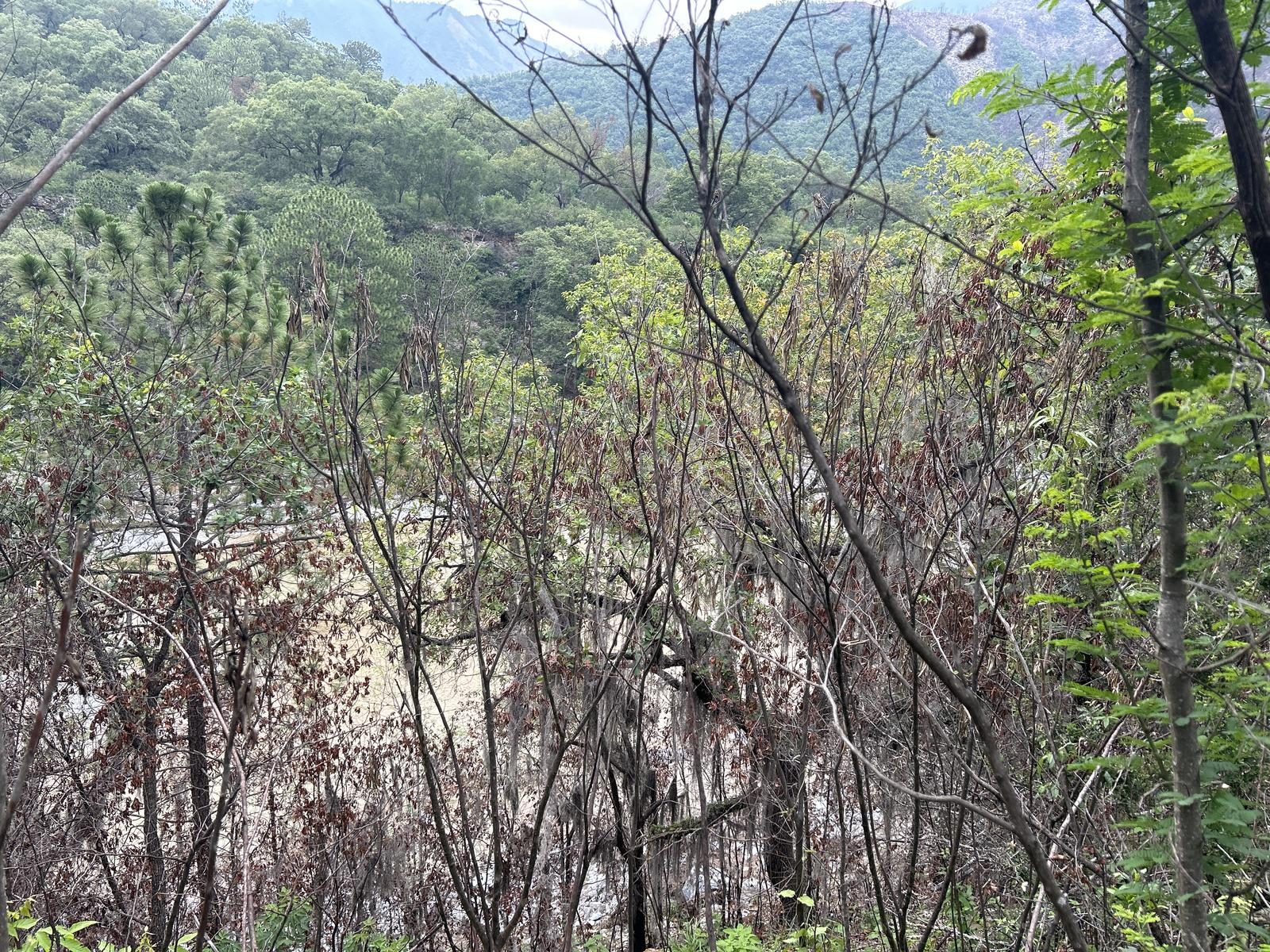
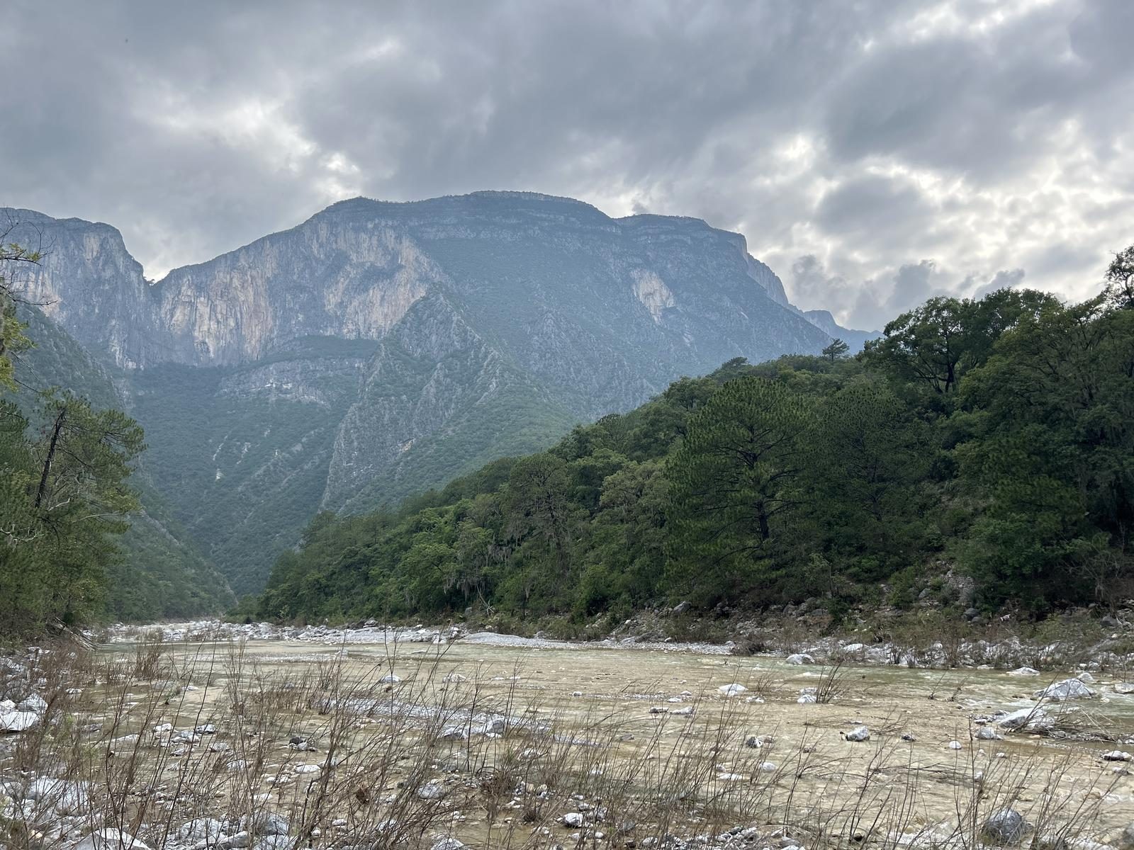
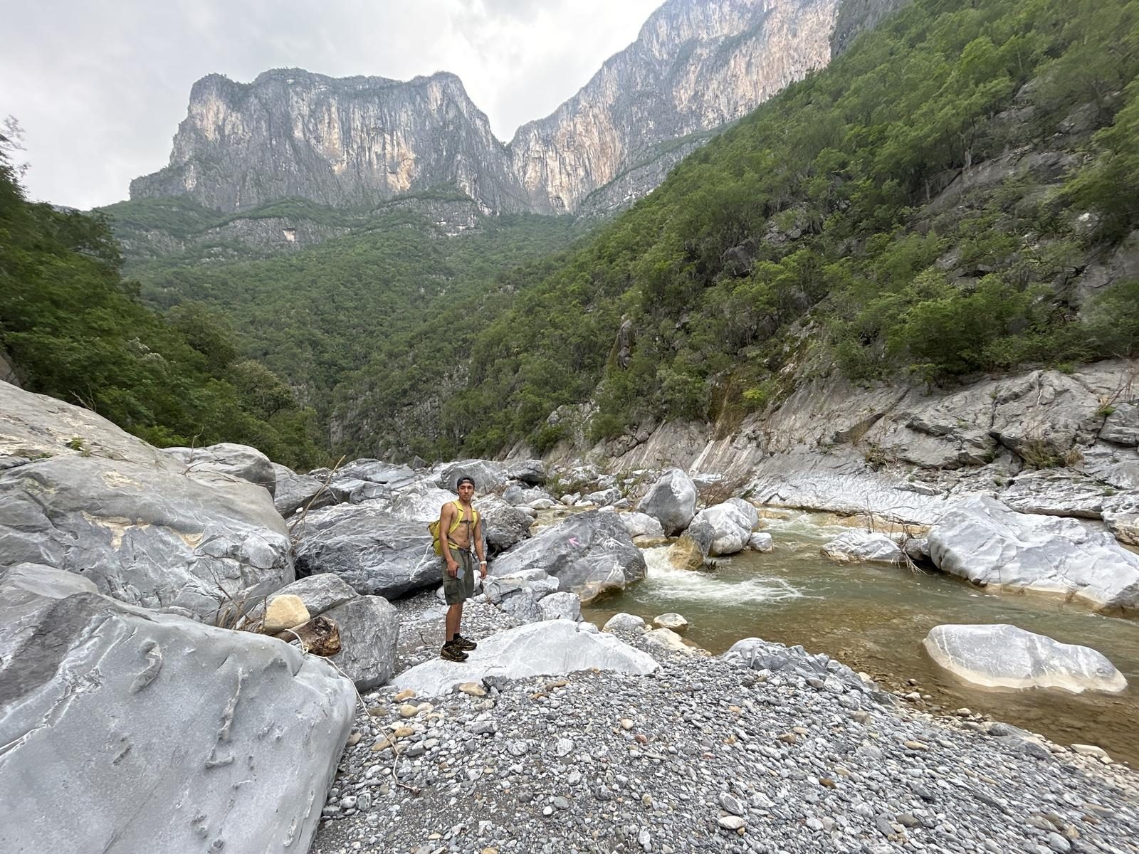
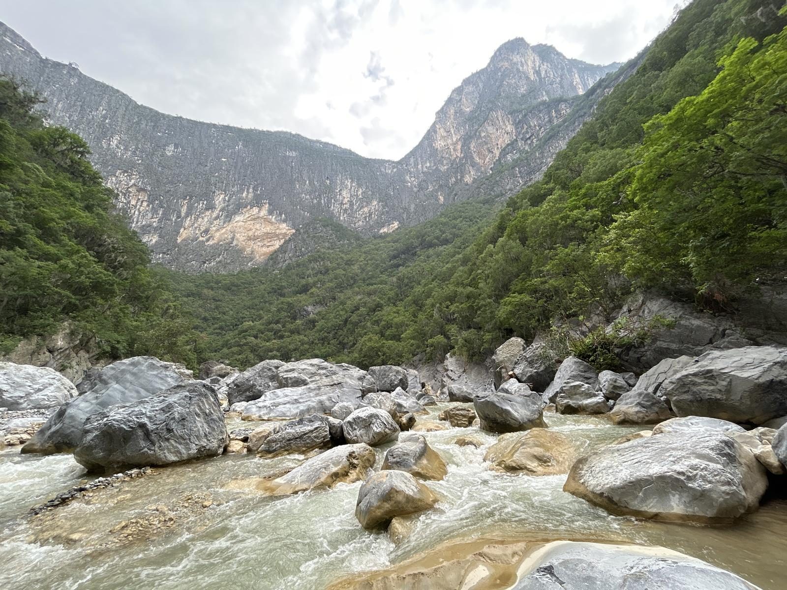
90% of the route has a trail. Important parts are the beginning of the climb to Mirador La Tinaja, the connection from there to the “Puerto Bonito” point and the descent to connect with the El Salto Canyon. Very short, but very important sections. Once you are in the canyon, you have to make your way between the river (which for many years did not carry water) that was formed due to the recent Storm Alberto.
Recommended Gear
- Hands free lamp (mining type) - External battery (PowerBank) - Sunscreen - First aid kit - Thermal blanket
What to Expect on the Trail
i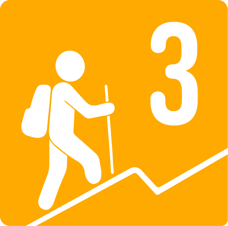
Elevation Gain
600 m
Total Distance (Out & back)
18.45 km
Total Time
5 h 5 m
Max Elevation
1629 m a.s.l.
Grade 3, this is a route that will present a considerable energy demand, climbing between 400 and 600 meters in altitude.


