
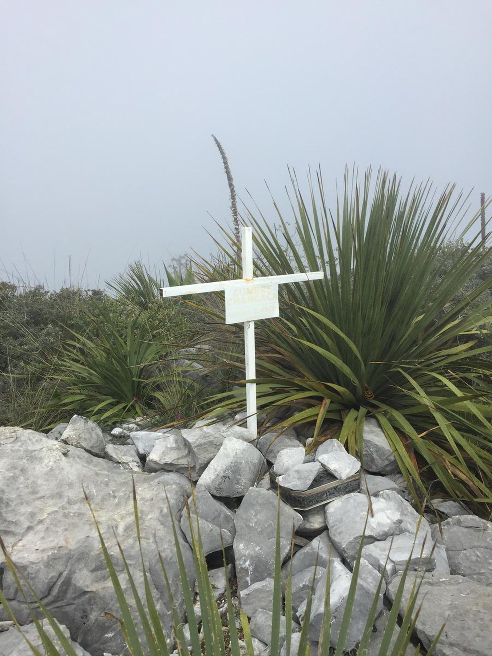
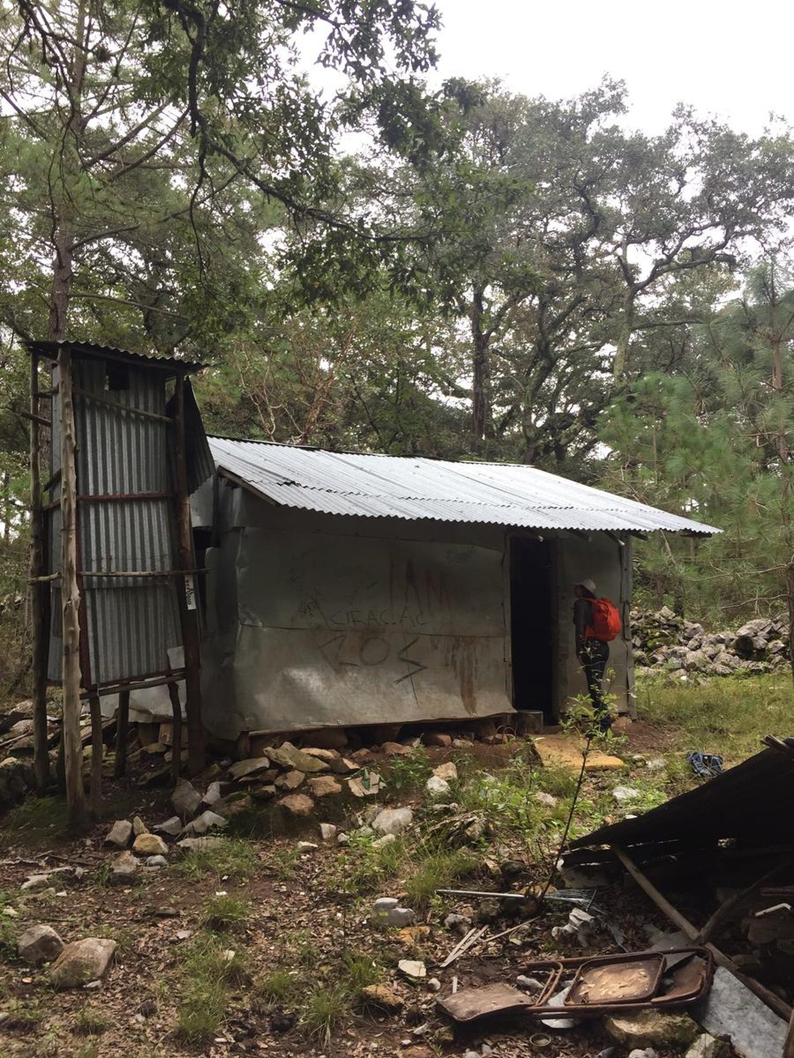
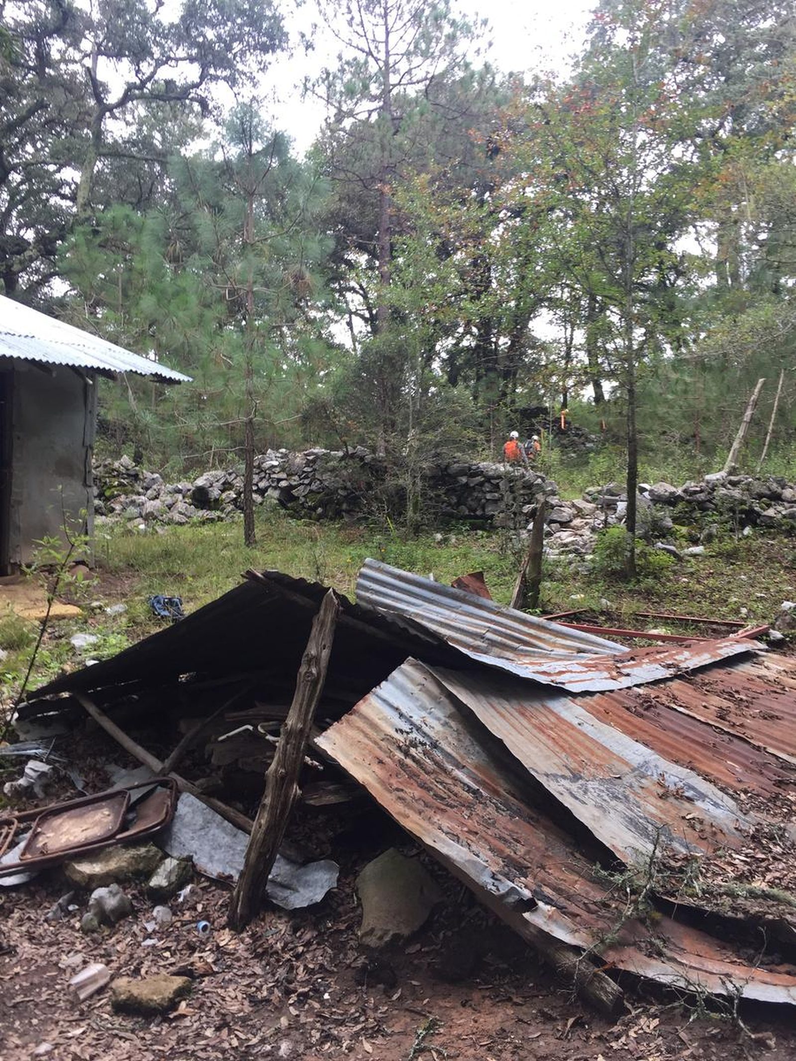
La Chancaca, Santiago
Parque Nacional Cumbres de Monterrey
Zone: Santiago
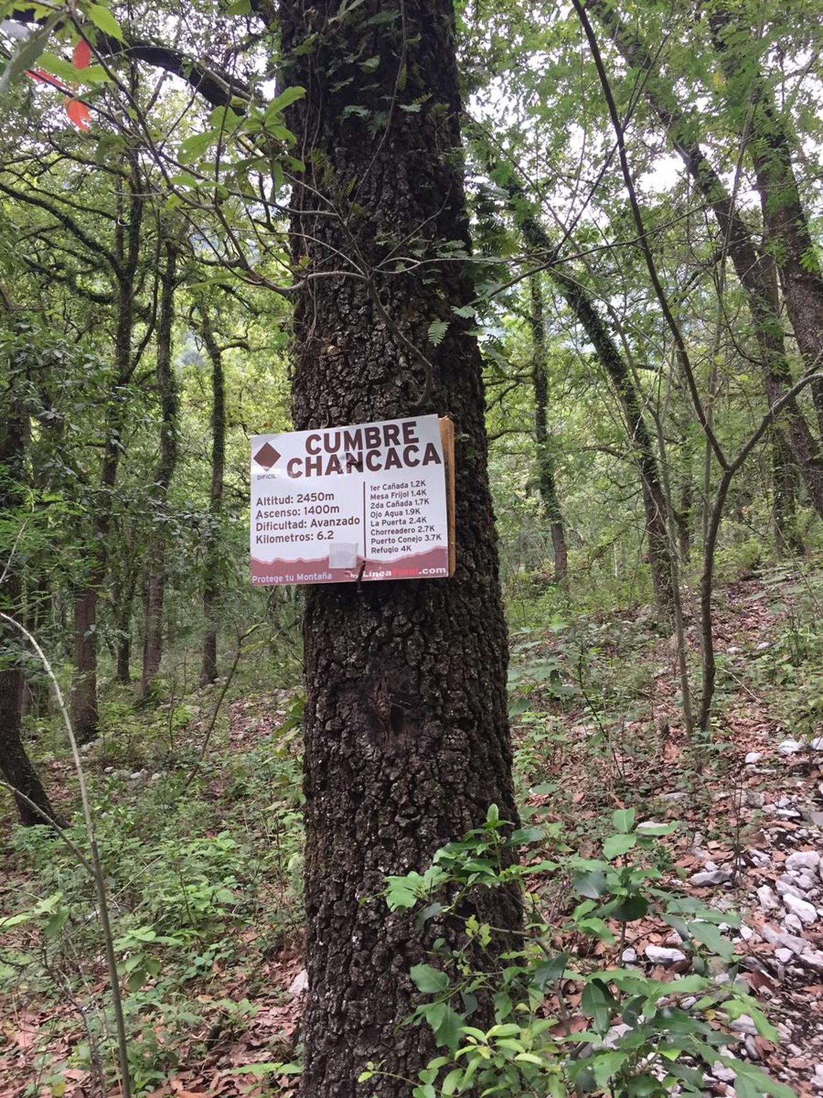
- Elevation gain
- 141 ft
- Distance
- 5.7 mi
- Time
- 2 h 7 m
- Altitude
- 8077 ft
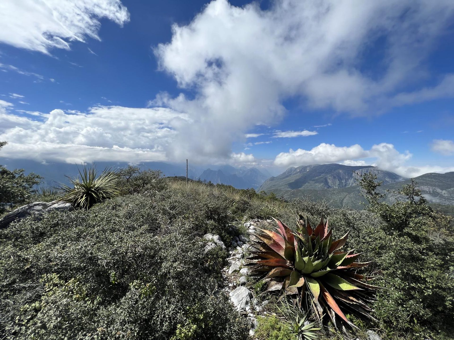
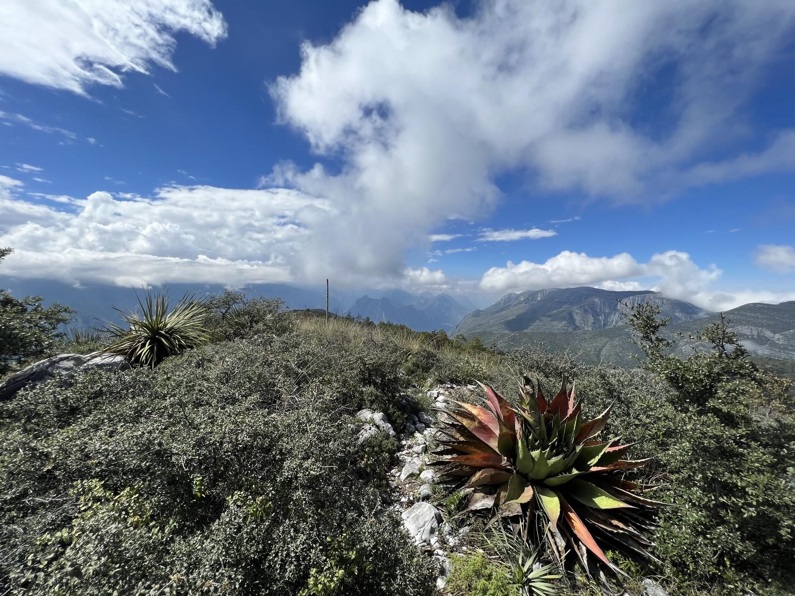
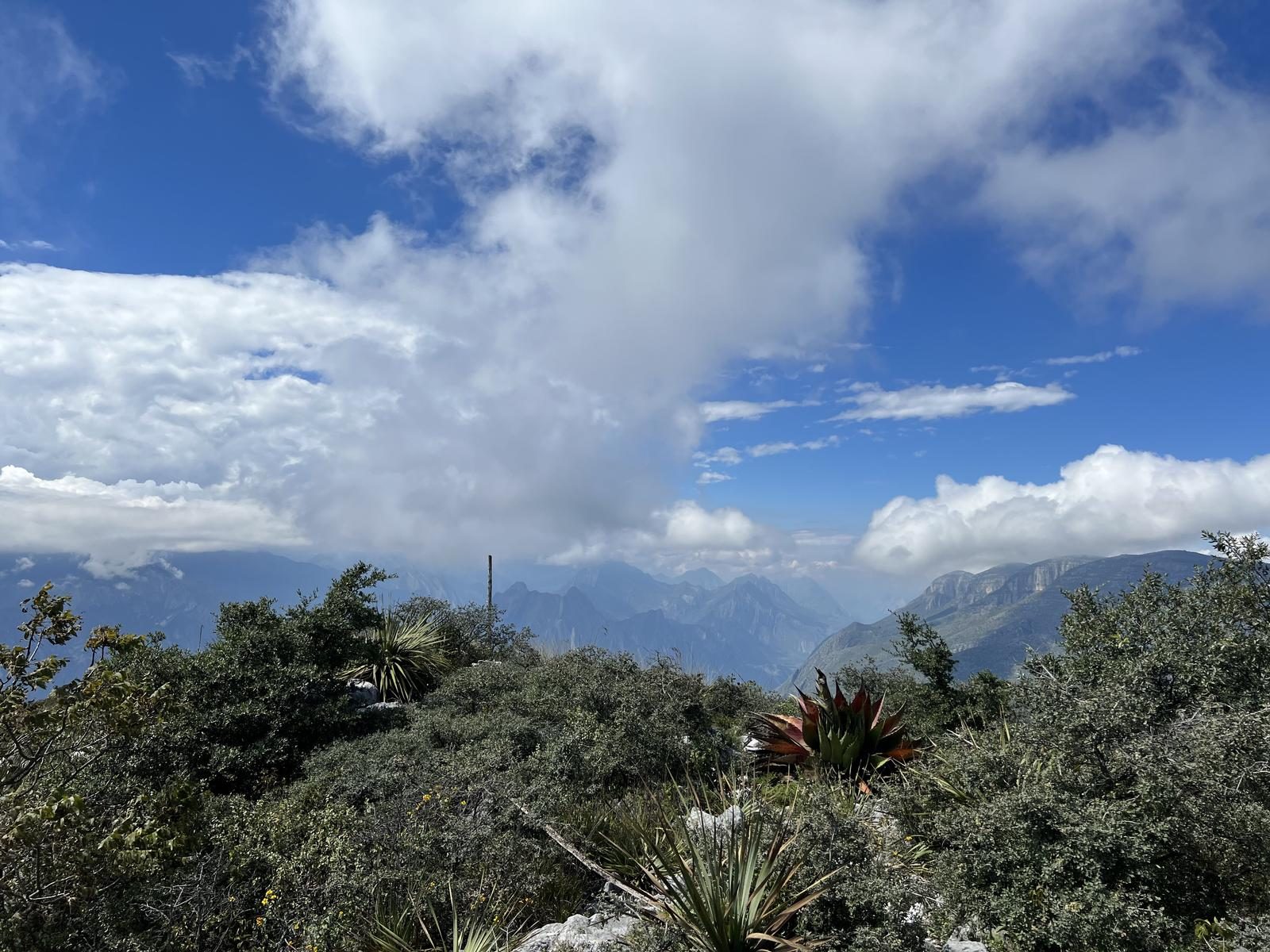
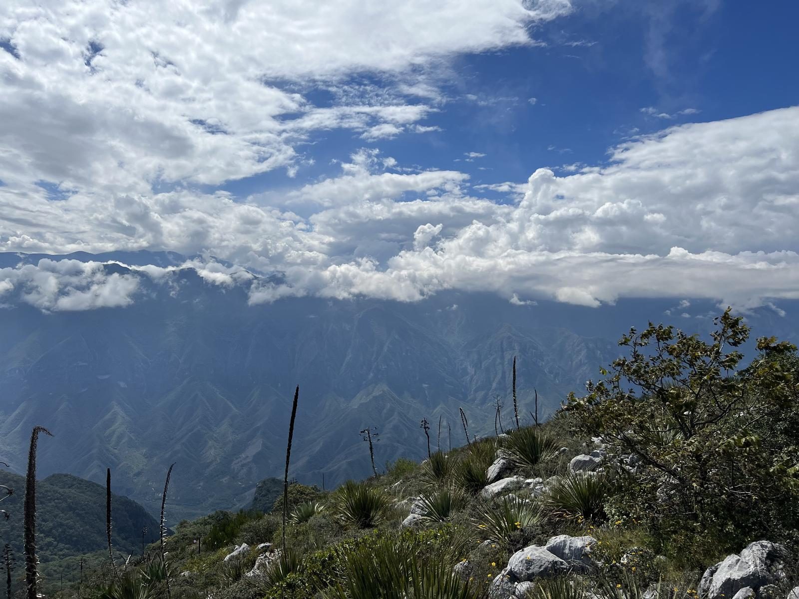
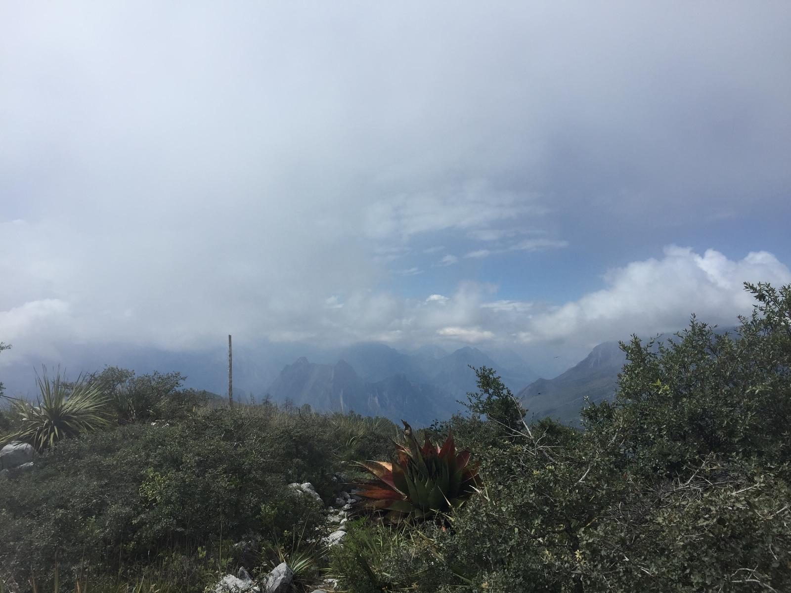
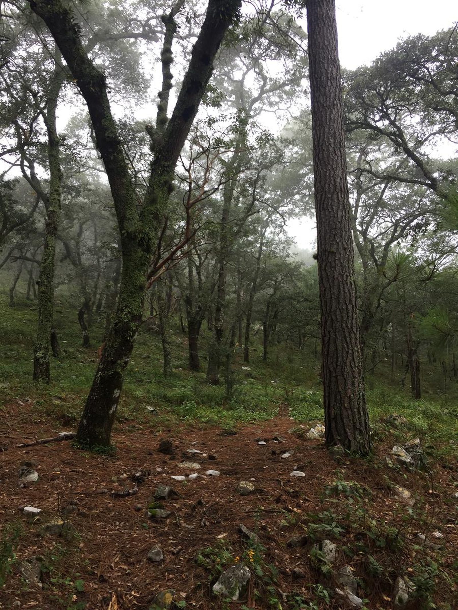
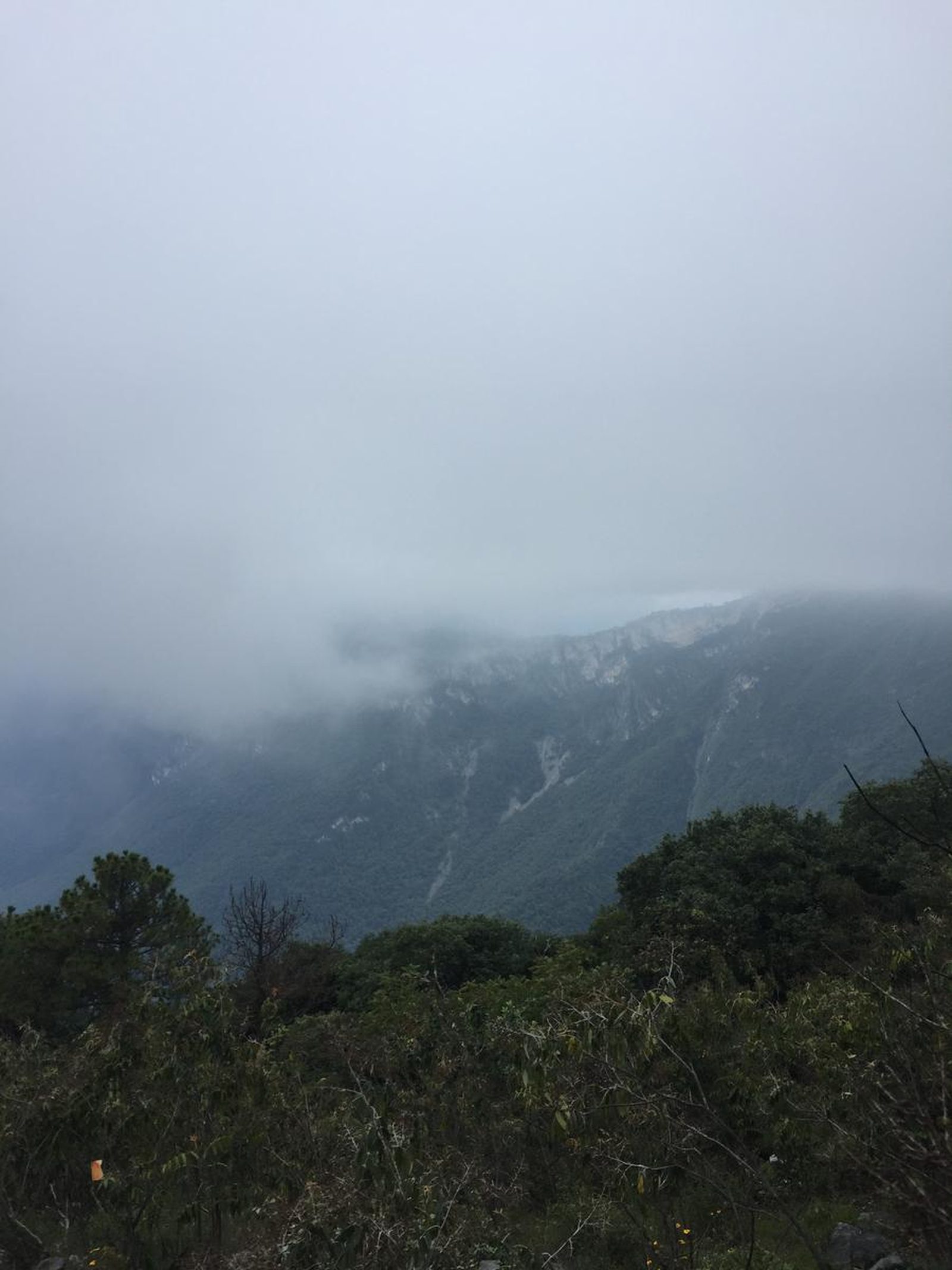
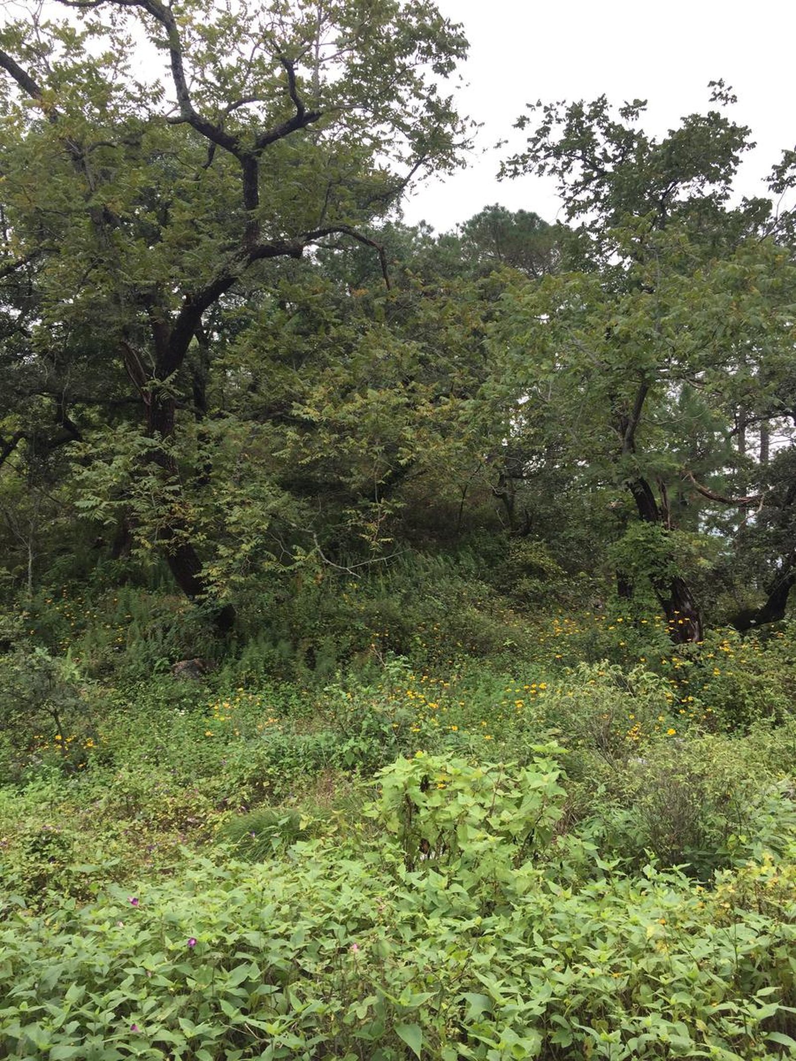
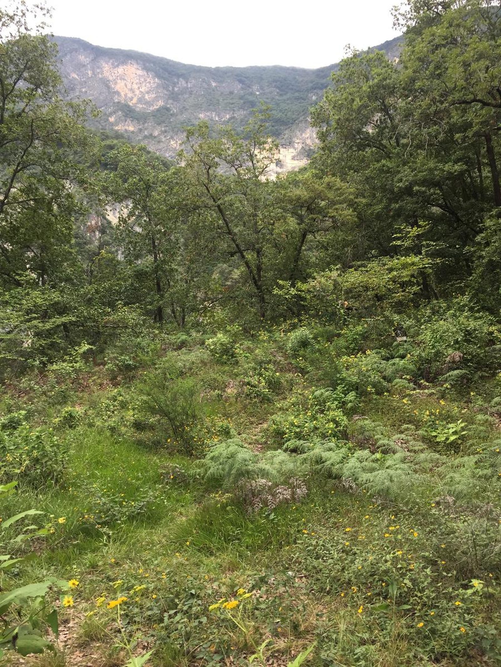
You are located on the northern edge of the Sierra Madre Oriental, a privileged location where there is a division between two climatic regions of the country; the temperate sub-humid of the Gulf and the arid of the Central Highlands.
📢 Alerts & Updates
It may require carrying twice as much water in the summer season.
Warnings

Level
i
Packing List
How to get there
Trailhead Access
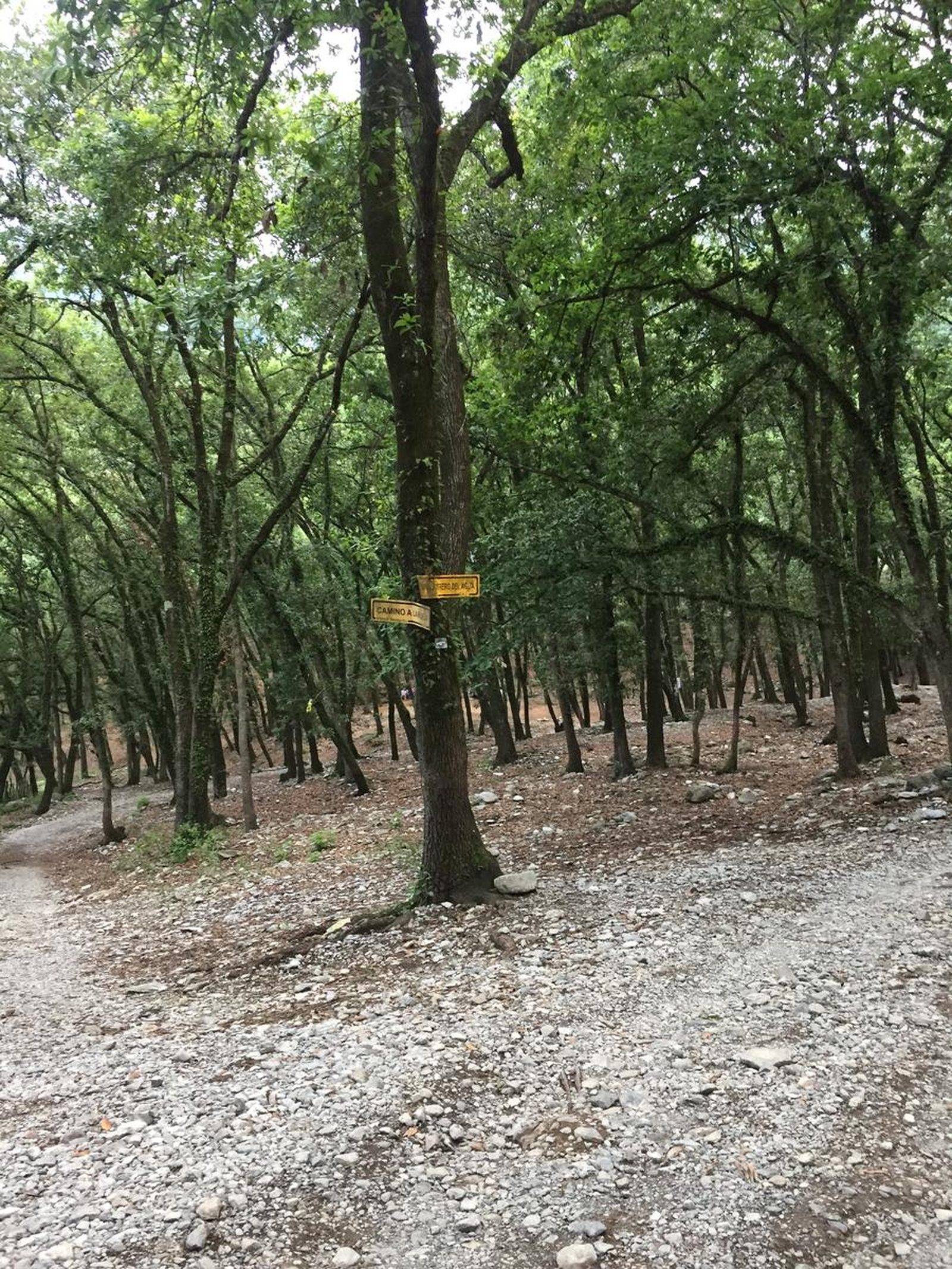
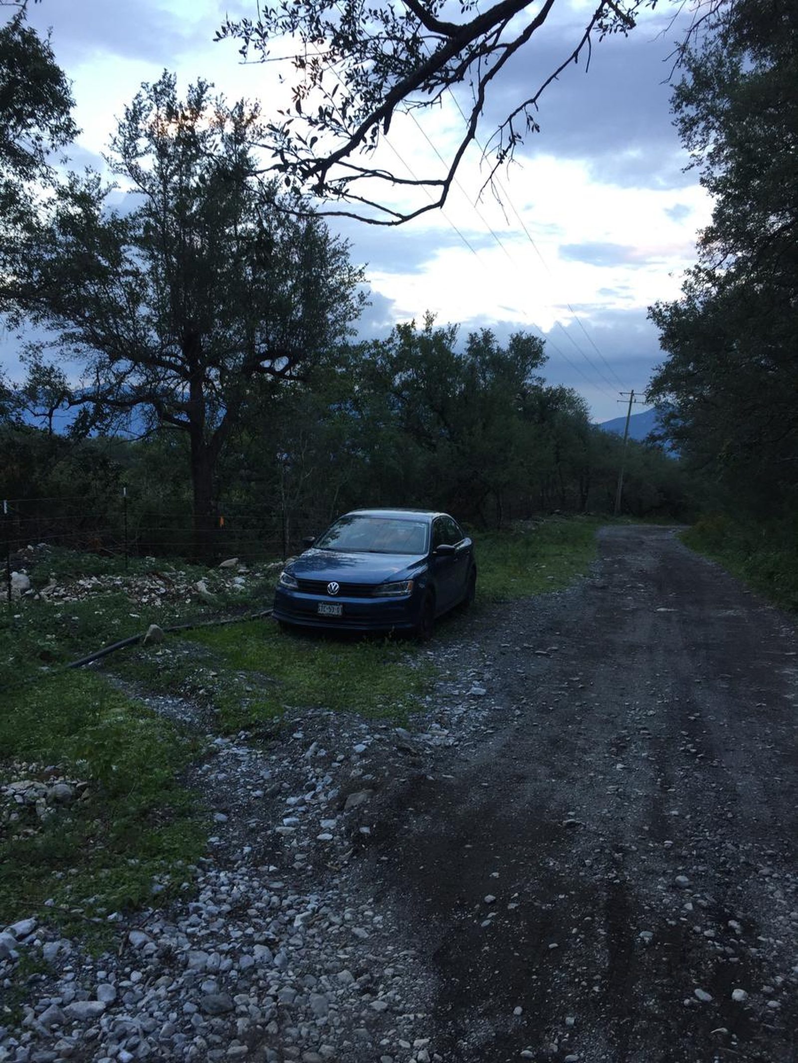
To get to the beginning of this trail, take the road to the national road, pass Esfera, Plaza Omnia and just before reaching the “La Cantera” event hall, take the exit towards Barro and turn right, drive for approximately 20 minutes inside towards the mountains until you reach a dirt road called Camino del Sendero, at this point it is advisable to leave small vehicles and walk 2.5 kilometers to the Witch Forest (where the tour begins) or try to drive carefully to the start of the route where there is parking space next to the main road. If you are traveling in a large van or jeep vehicle, you can continue those 2 kilometers without any problem to the Witch Forest.
Parking Information
For 4x4 vehicles: you can park in the Witch Forest, be careful not to obstruct the way for other vehicles or residents. For small vehicles, you can park on Acueducto Street #2 or where the beginning of the road is indicated, at the ends, without obstructing the road or private properties.
Fees & Park Hours
No cost
Trail Overview
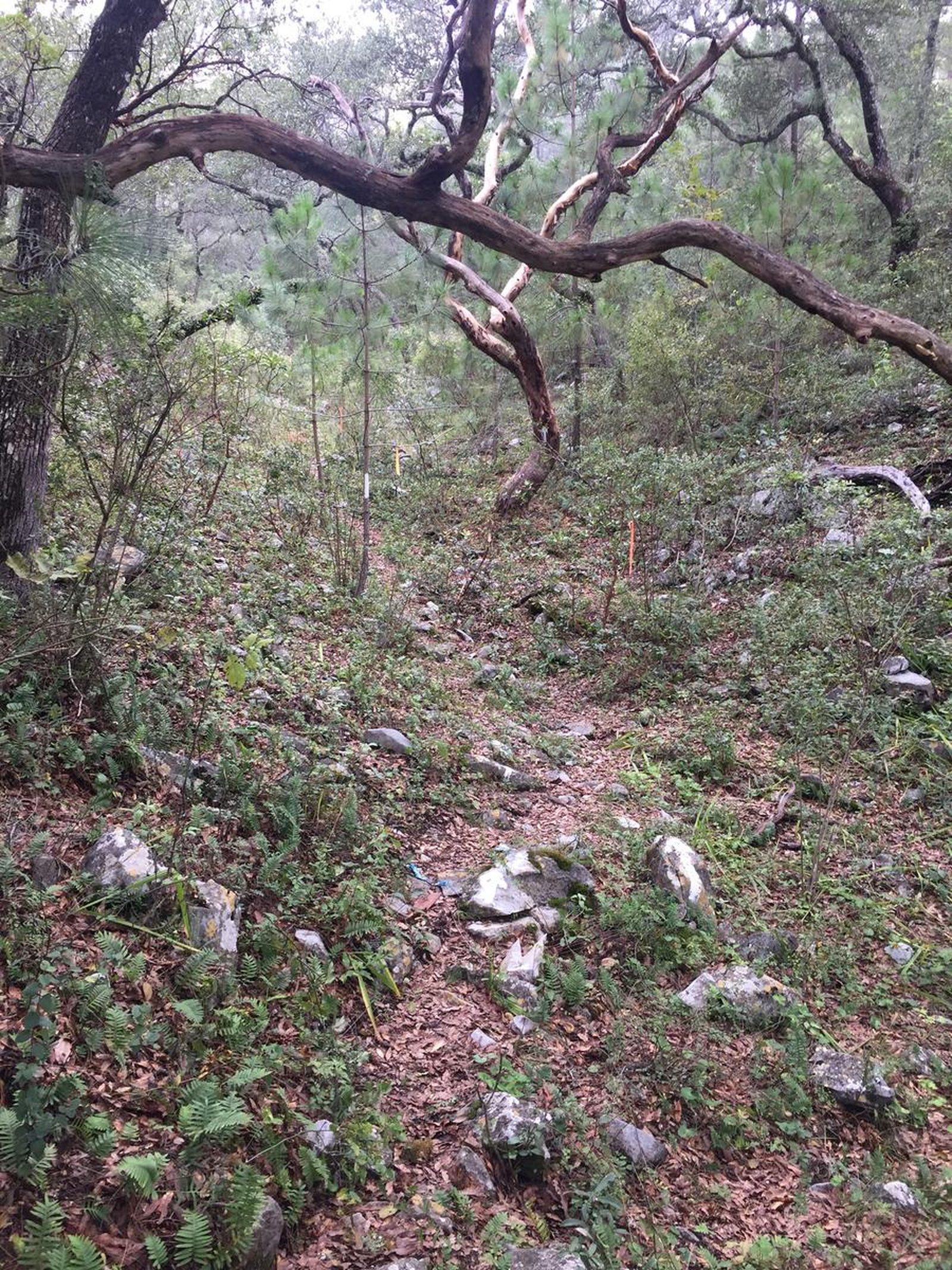
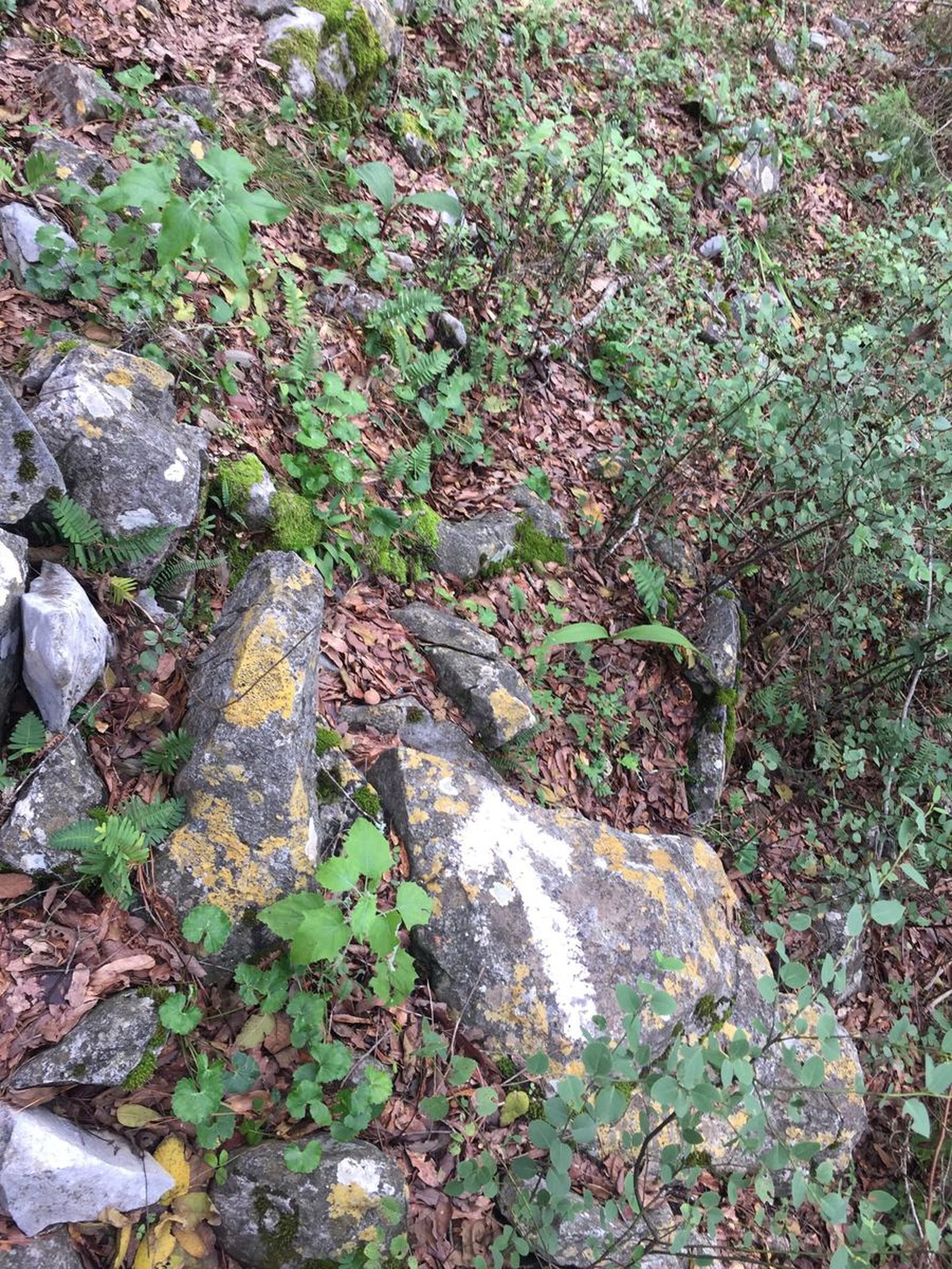
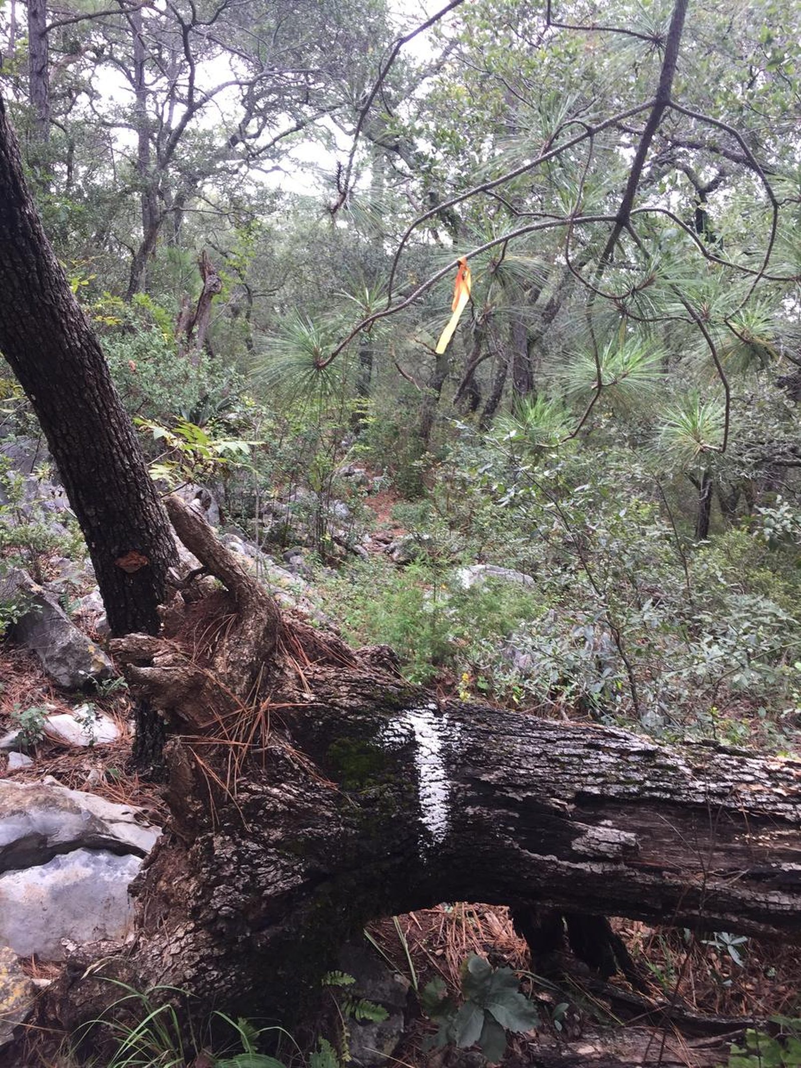
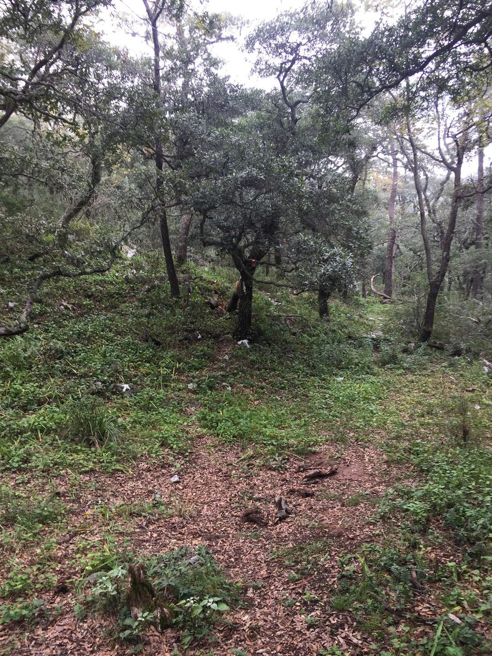
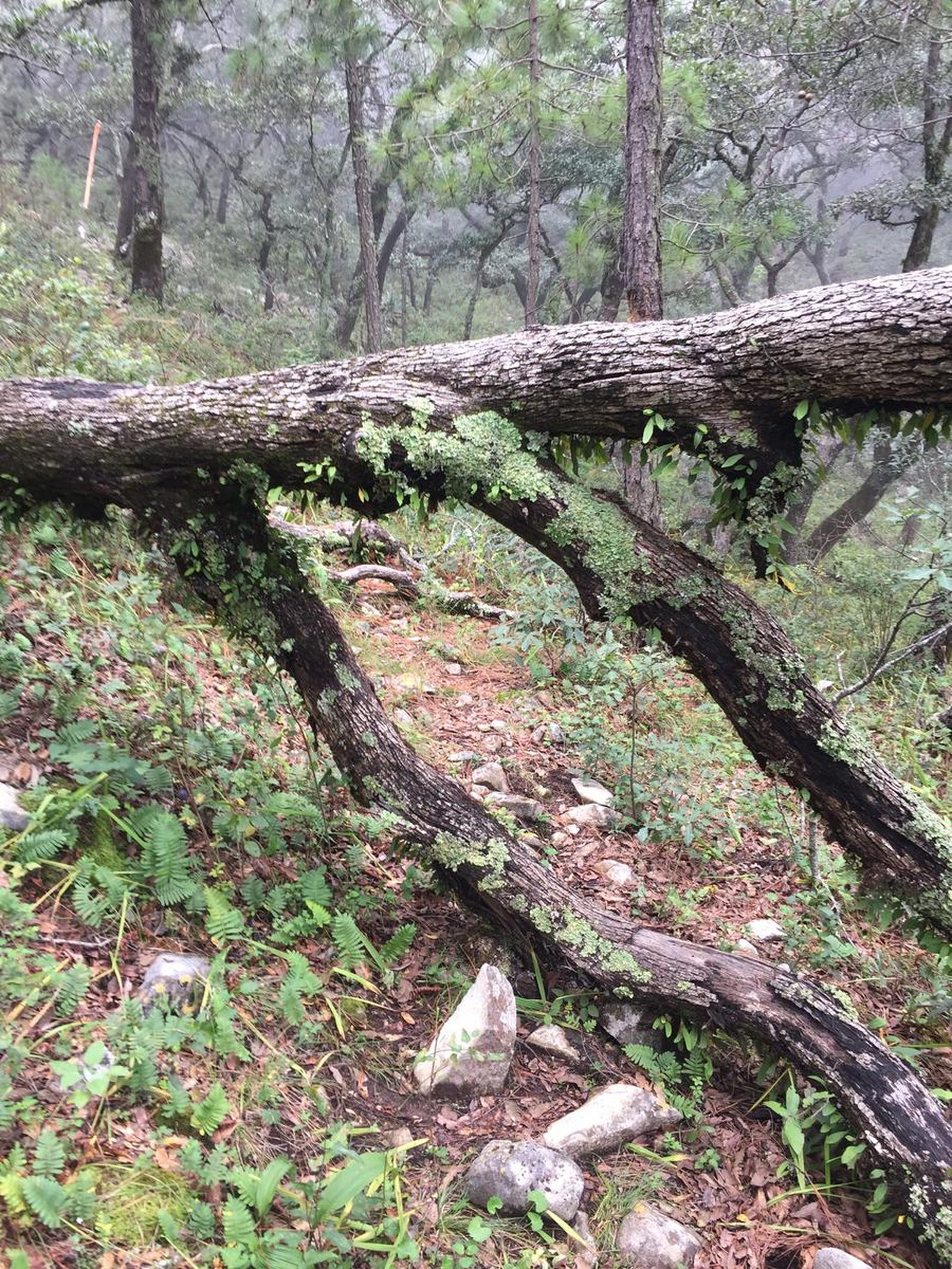
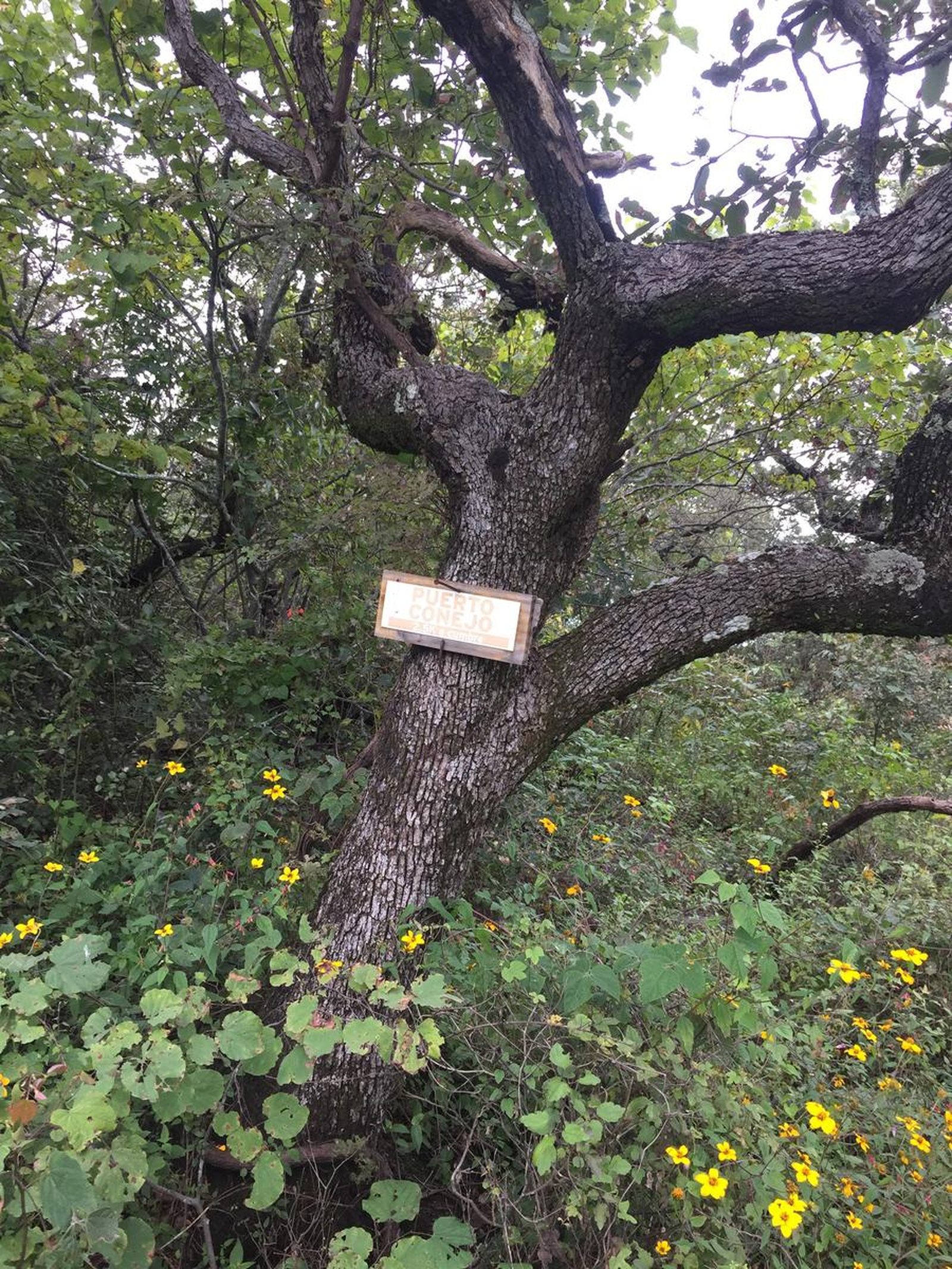
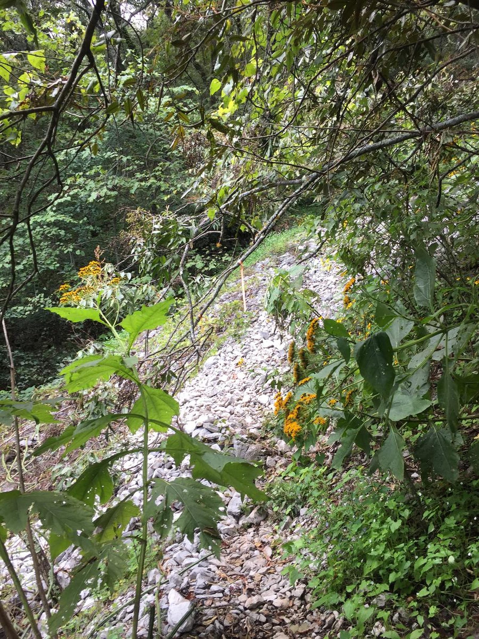
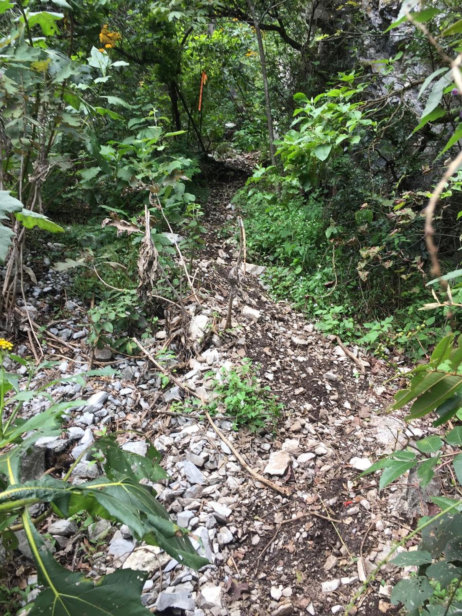
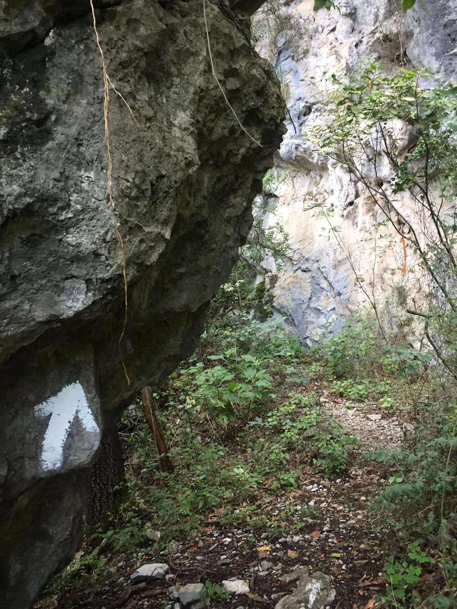
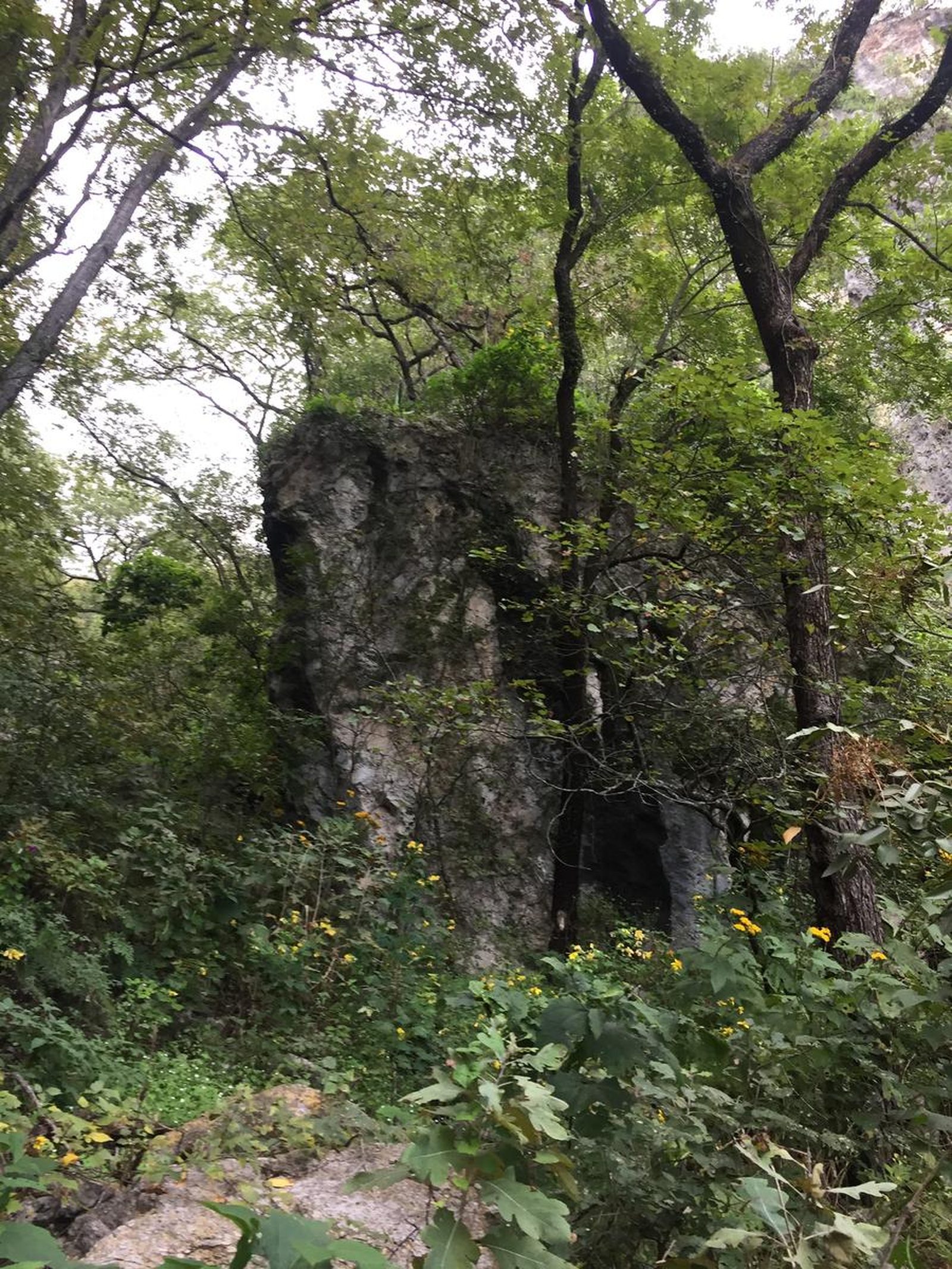
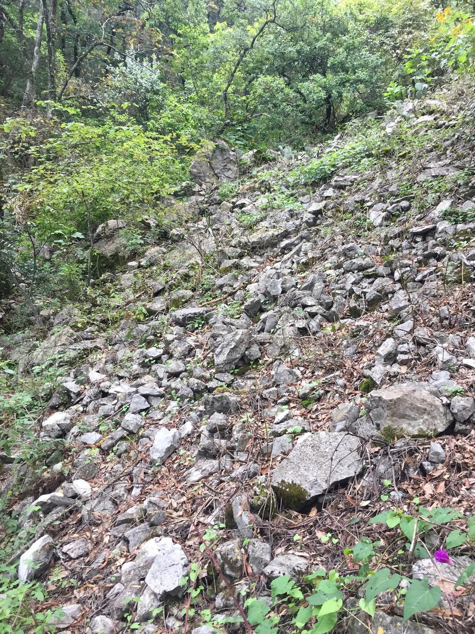
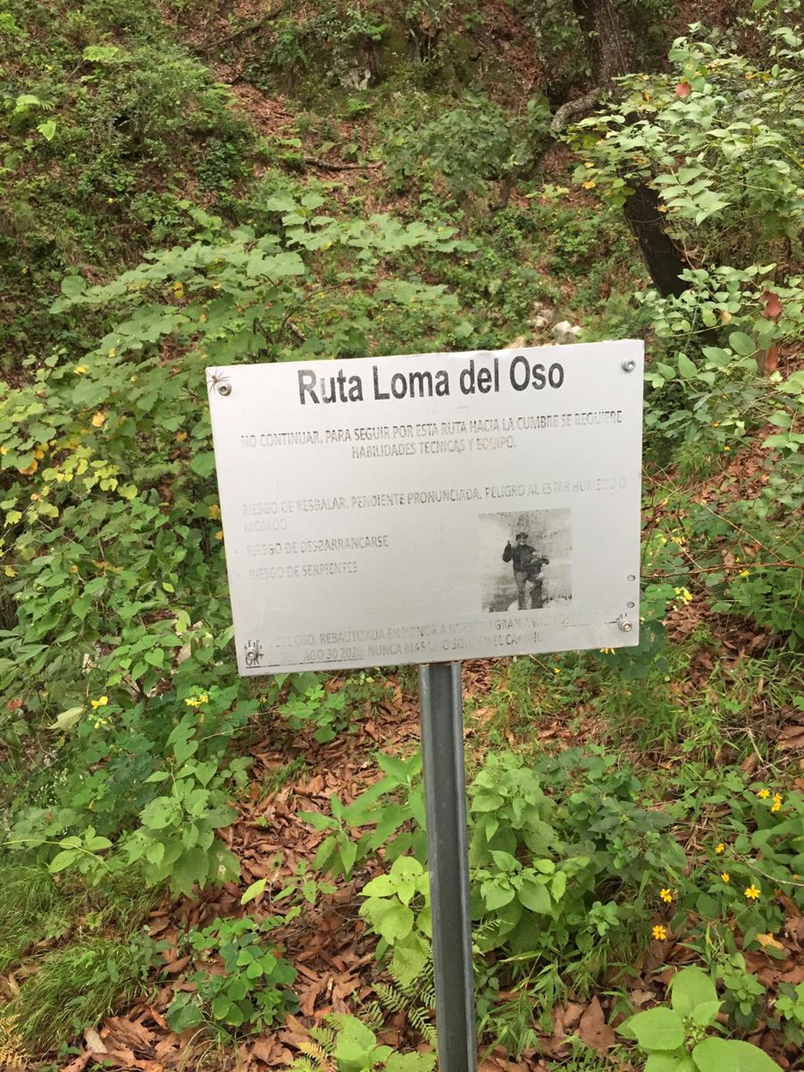
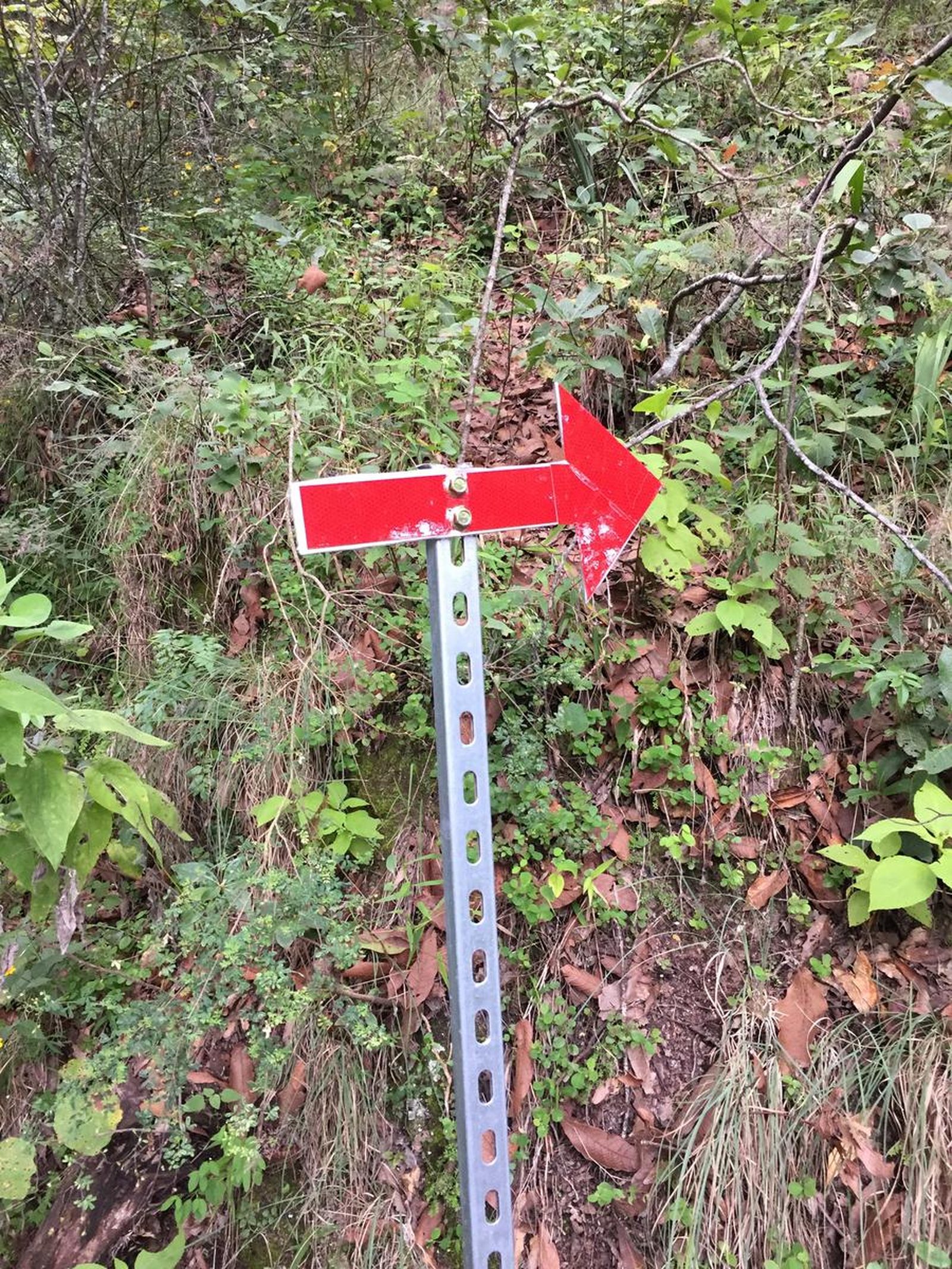
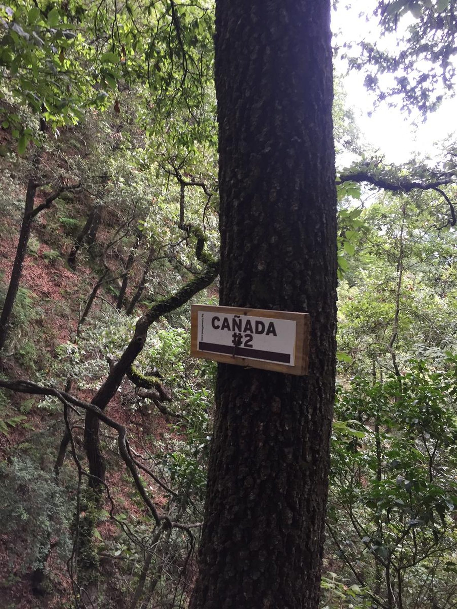
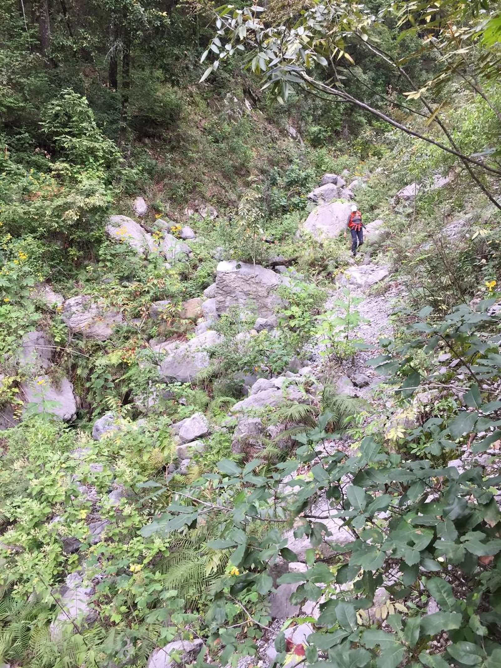
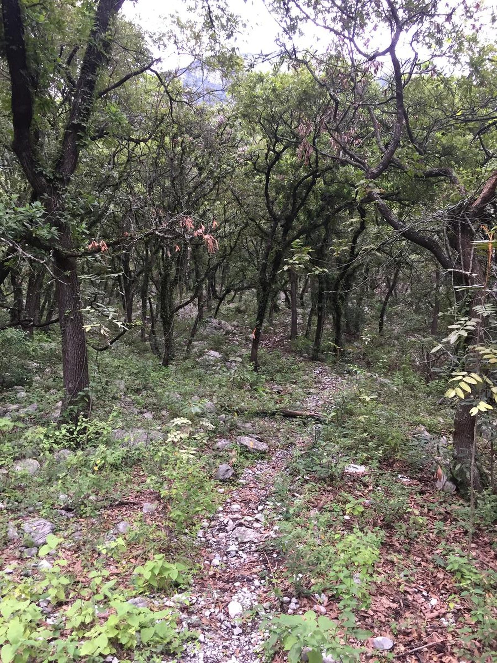
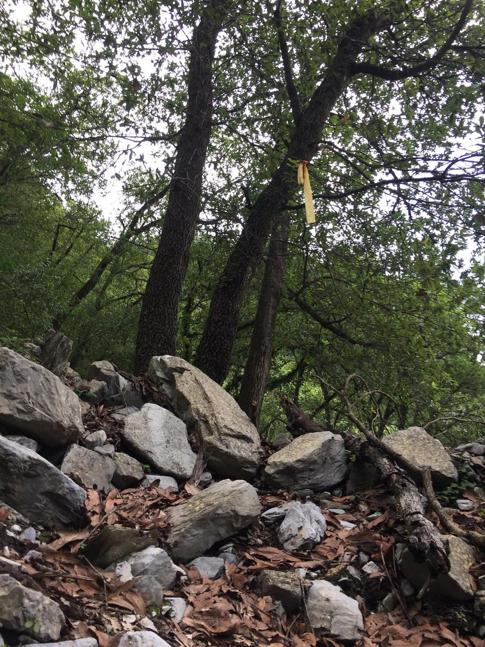
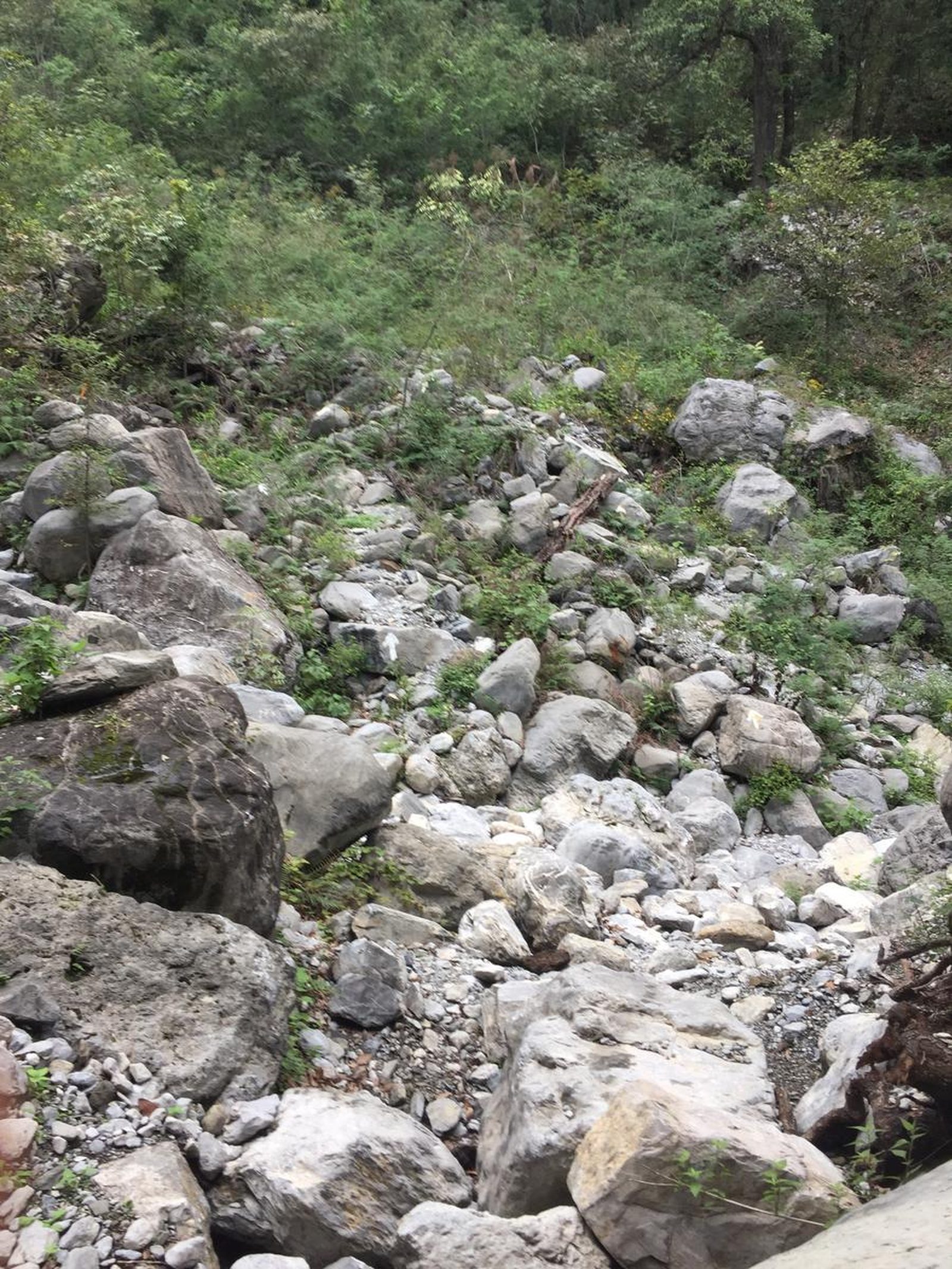
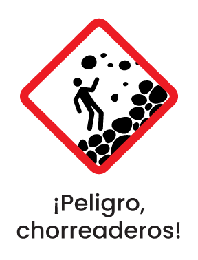
The route is difficult and uncertain, hidden in sections, passing through several ravines, landslides and high vegetation. There are several slats and multiple mojoneras that will make the job of locating the route more enjoyable.
Recommended Gear
It is recommended to bring the following items for this tour: First Aid Kit: Bandages and adhesive tape. Gauze Paracetamol (pain reliever) and Ibuprofen (anti-inflammatory). Microdacyn type antiseptic spray. Antihistamine against stings or burns. Thermal blanket. Whistle. Knife Electrolytes in powder form. Headlamp or flashlight.
What to Expect on the Trail
i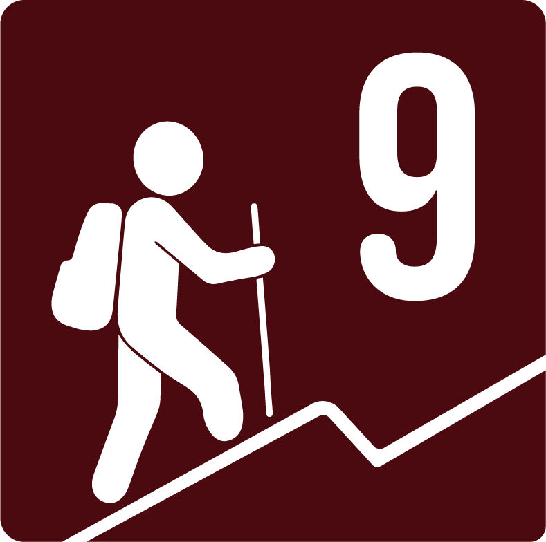
Elevation Gain
43 m
Total Distance (Out & back)
9.21 km
Total Time
2 h 7 m
Max Elevation
2462 m a.s.l.
According to our nomenclature, this route has a degree of physical difficulty of level “9”, which means that this route represents a fairly large physical challenge, with a difference in altitude of 1650 meters, taking approximately 8 to 10 hours to complete and should not start after 7 in the morning.


