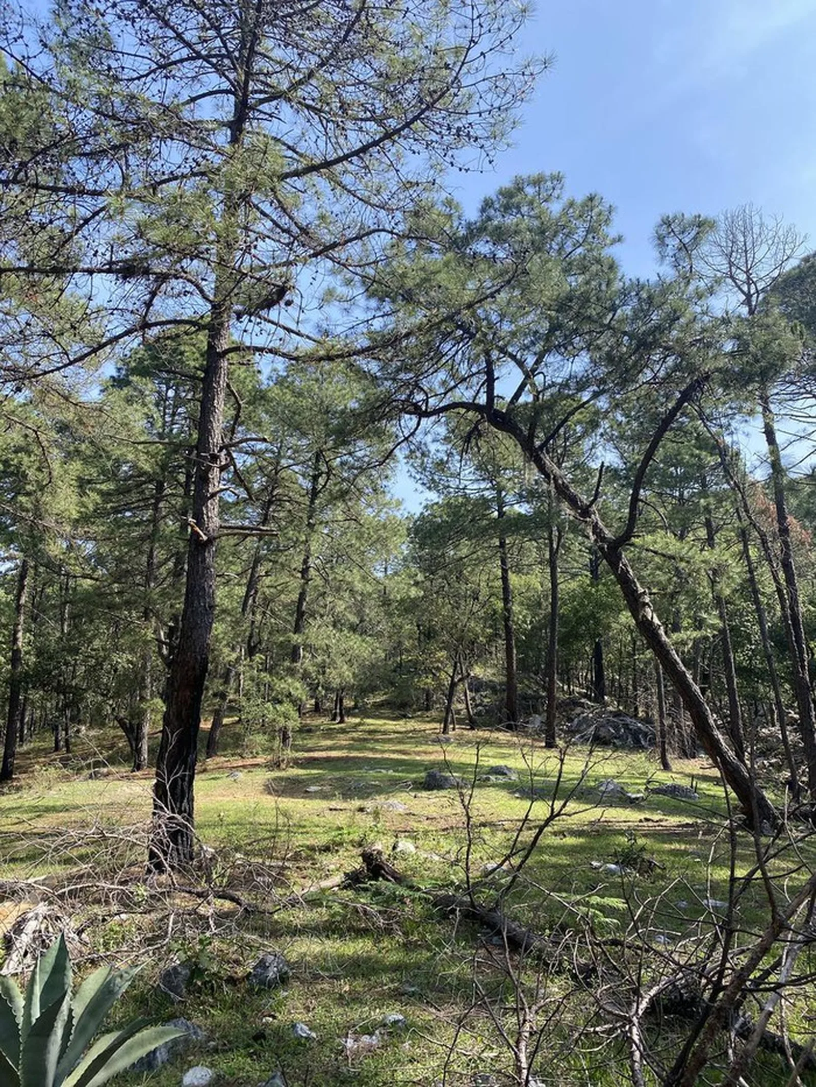
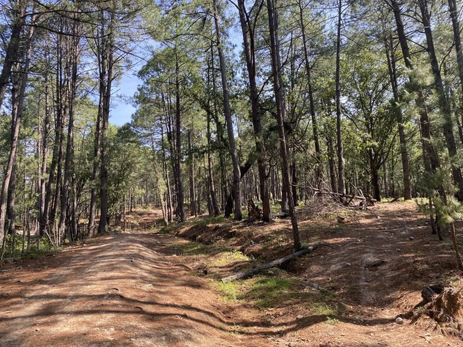
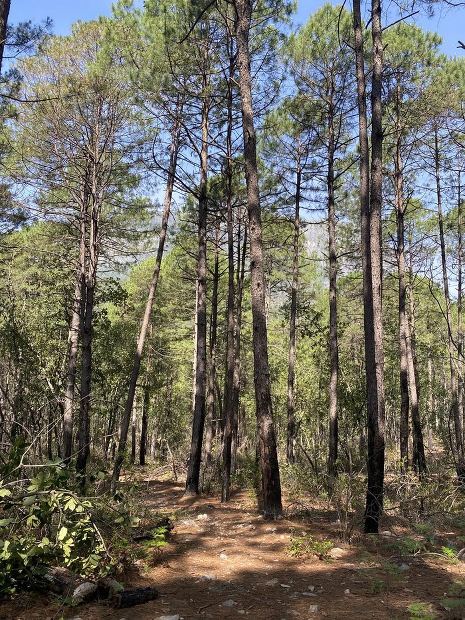
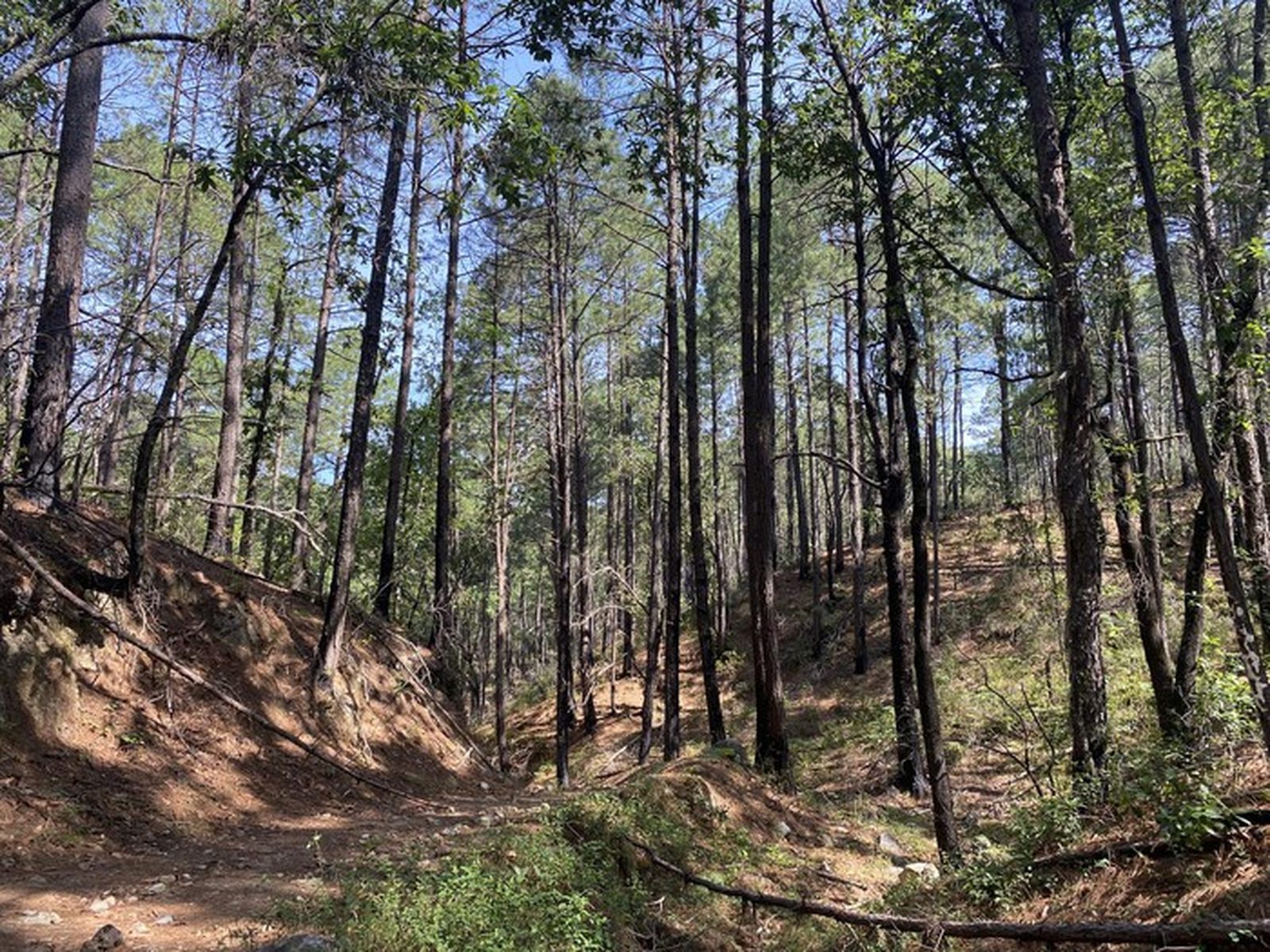
Matacanes Completo, Santiago
Parque Nacional Cumbres de Monterrey
Zone: Santiago
- Distance
- 14.3 mi
- Elevation gain
- 2316 ft
- Time
- 5 h 46 m
- Altitude
- 4908 ft
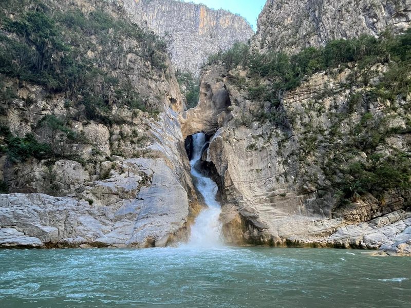
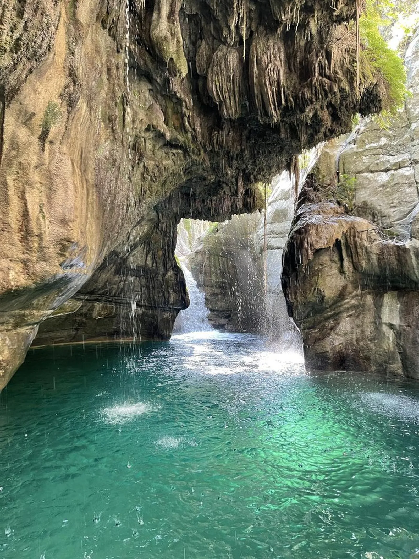
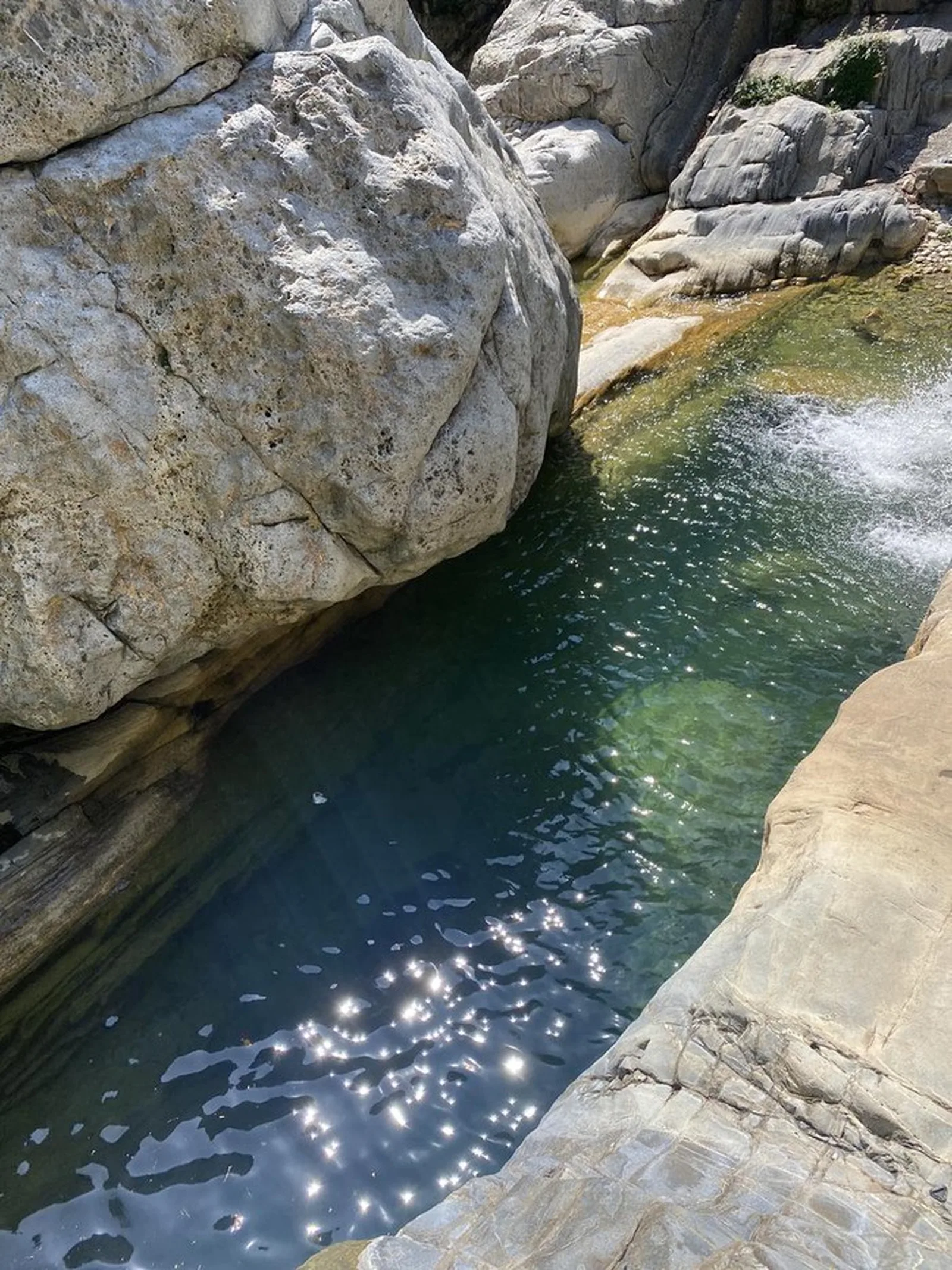
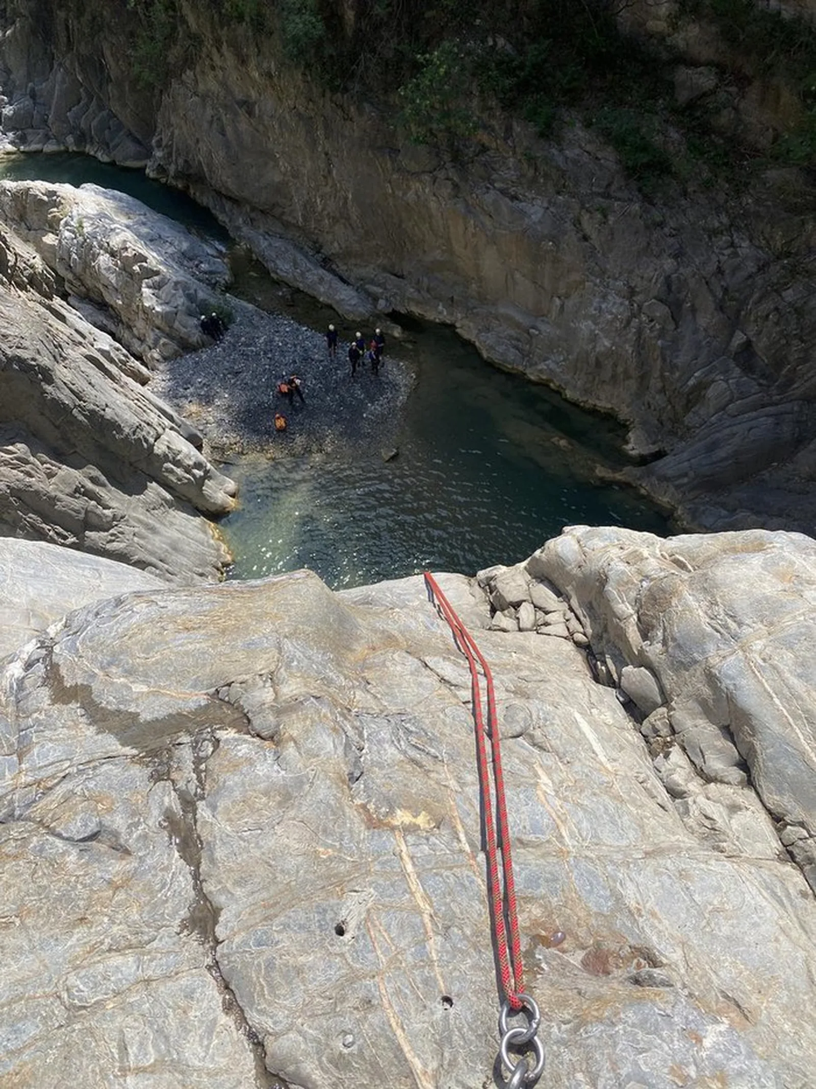
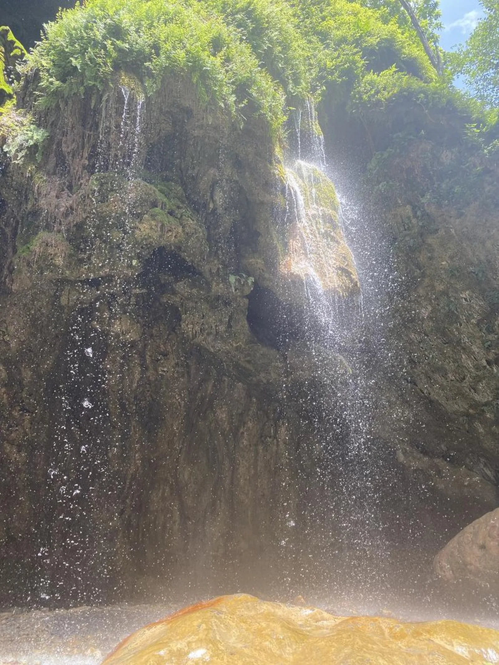
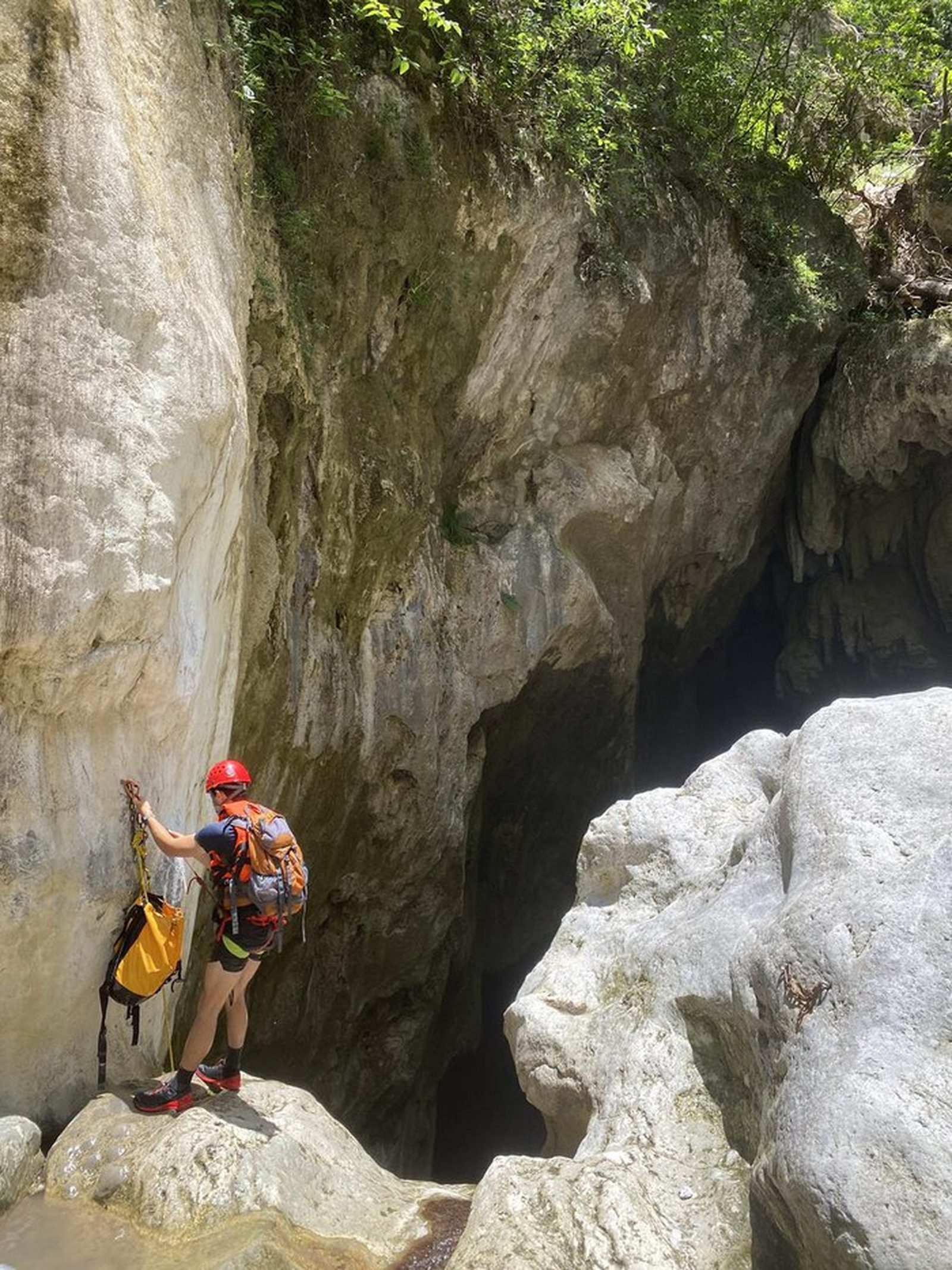
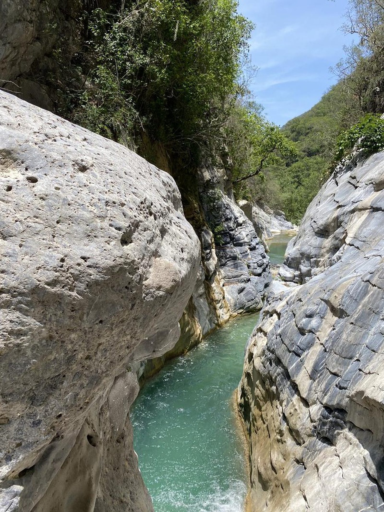
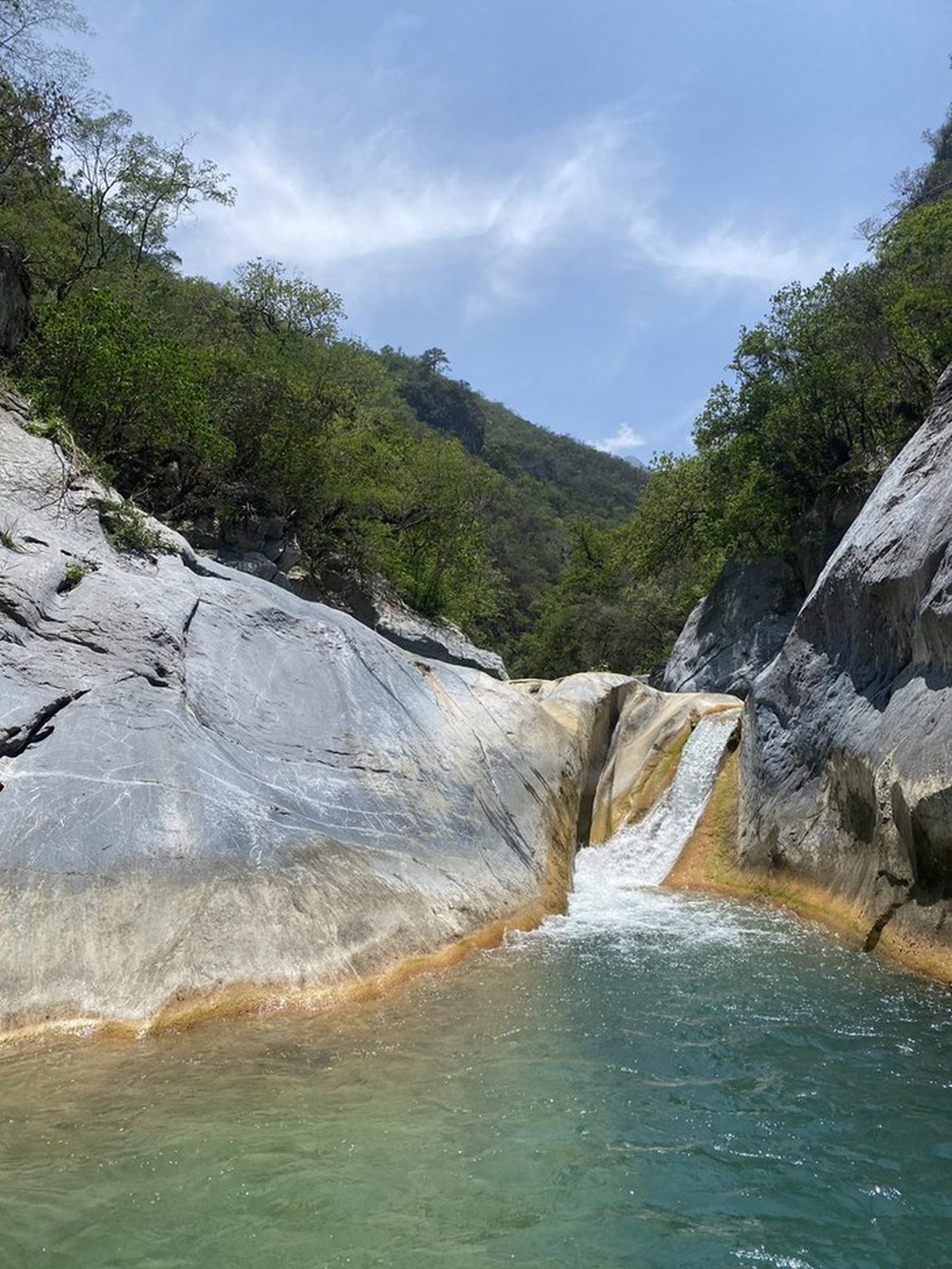
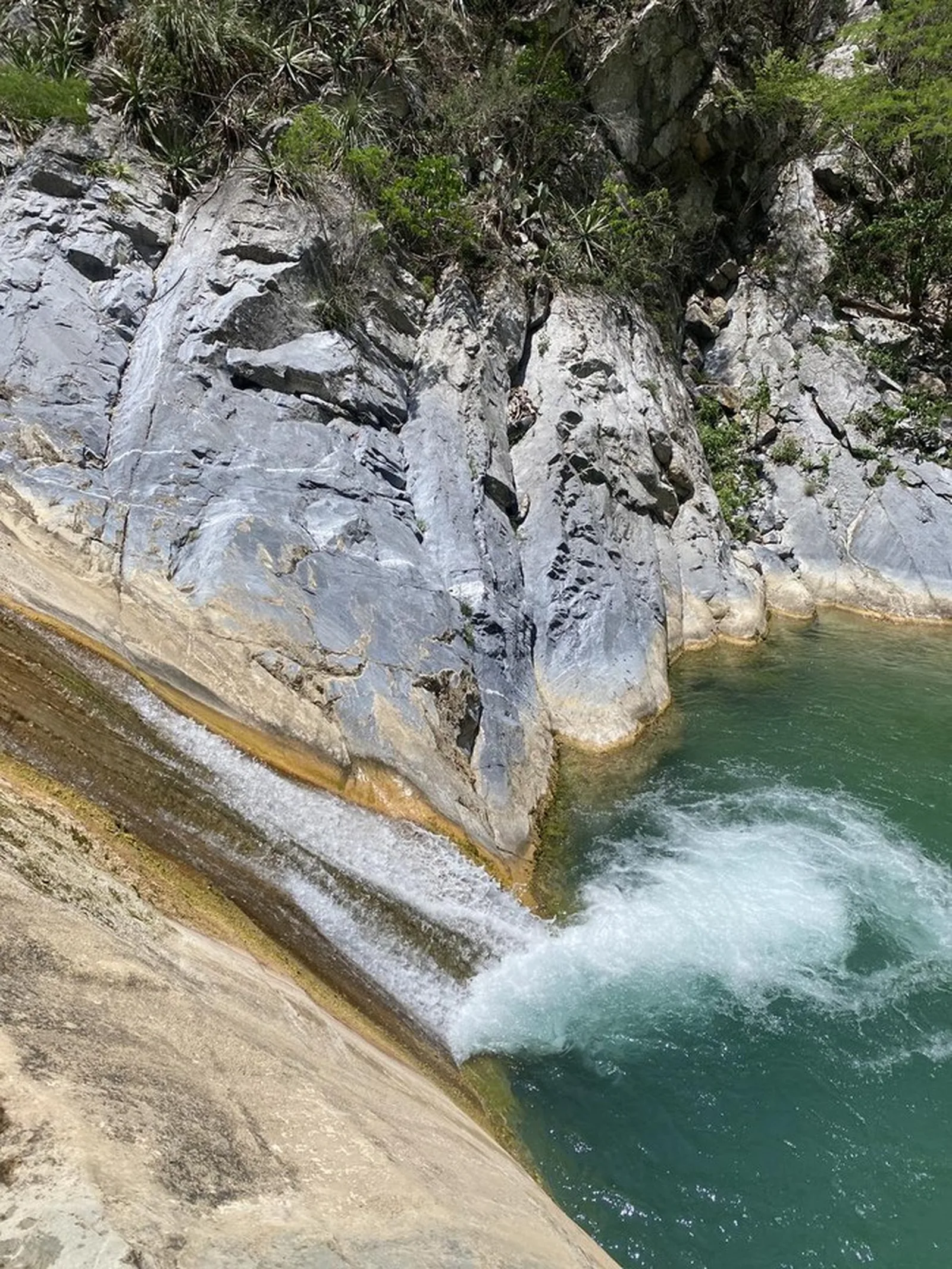
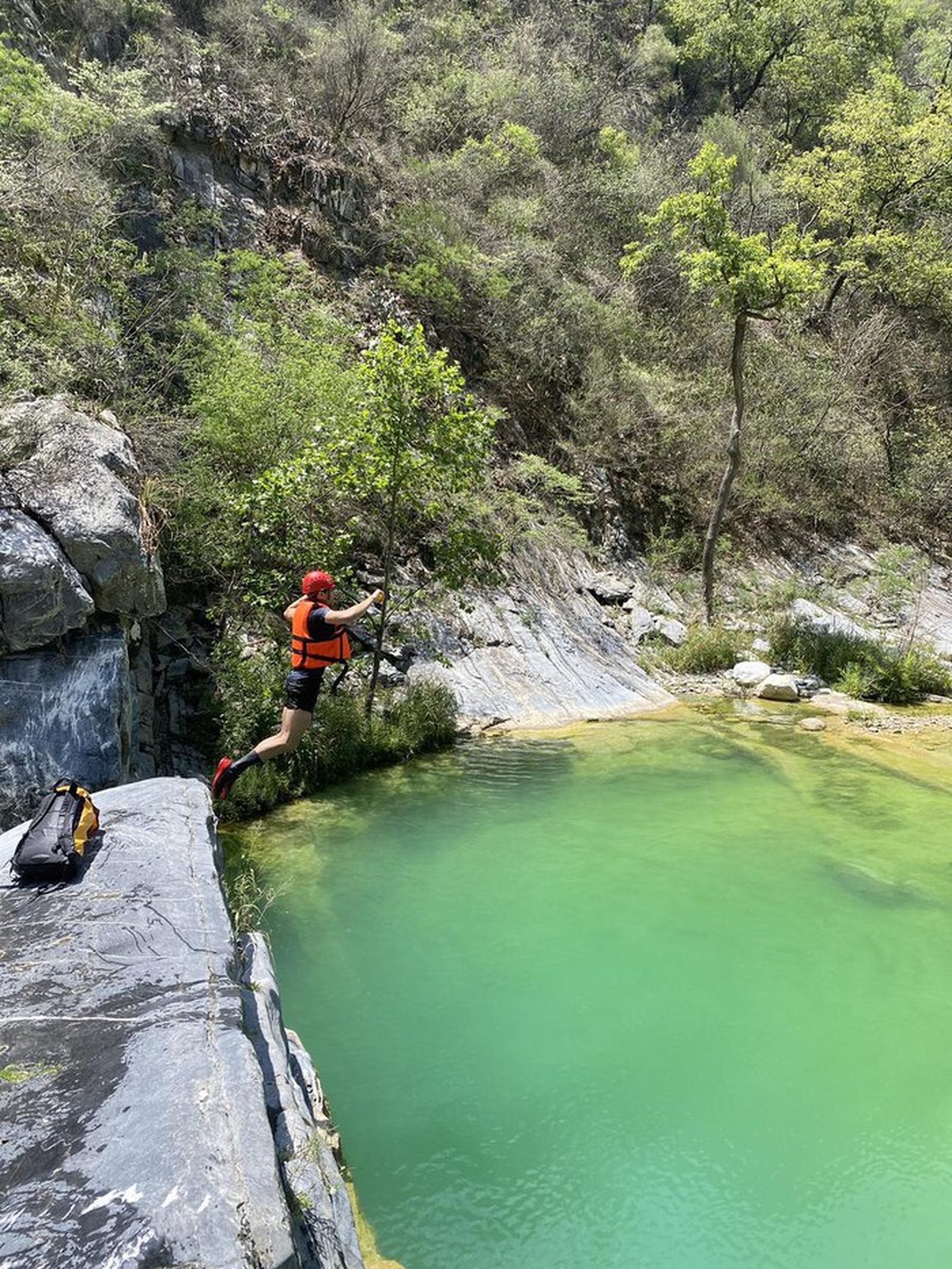
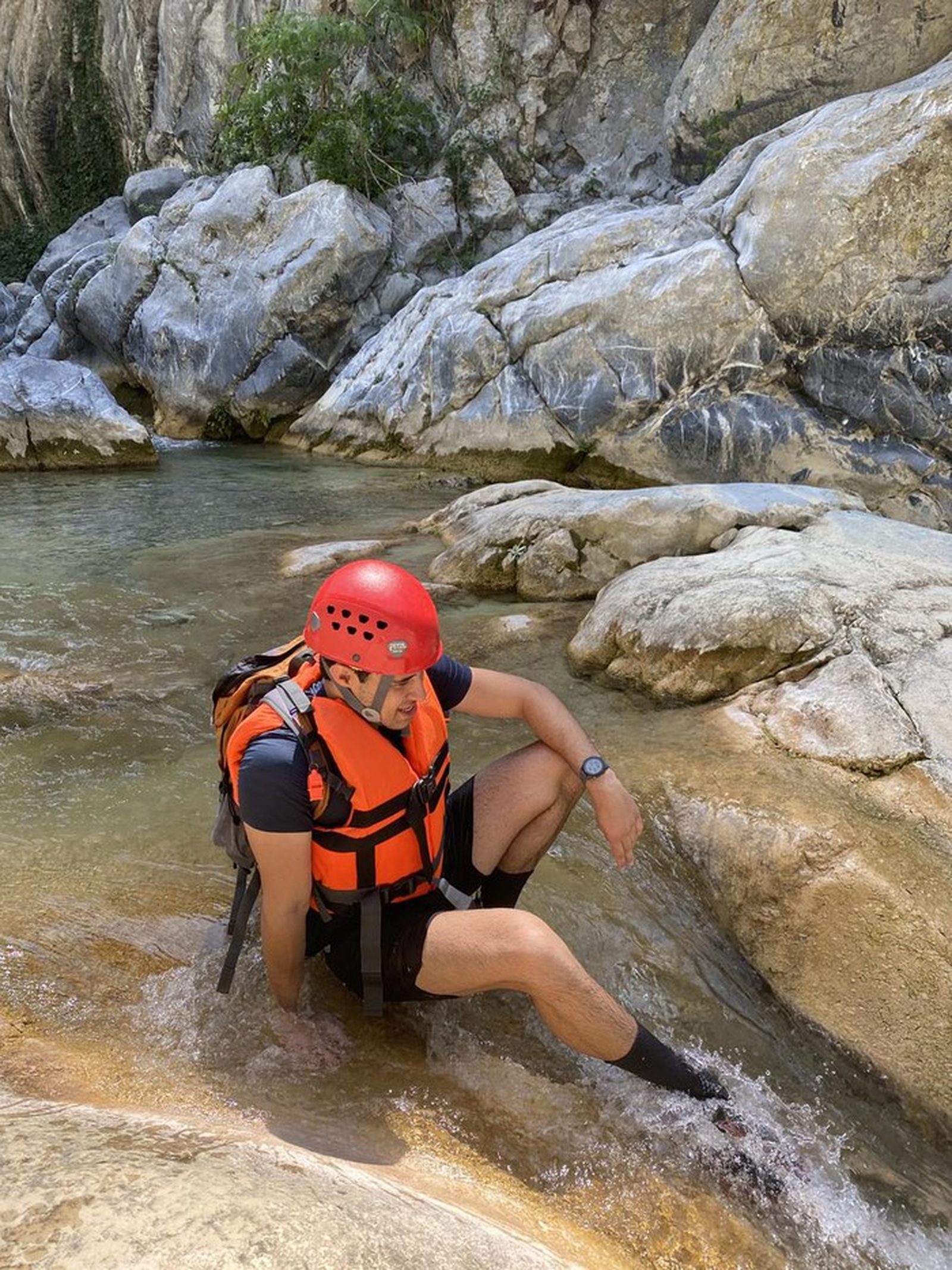
Matacanes Completo — iconic canyoneering route in the Cumbres de Monterrey. 19 km through caves, rappels, pools and jumps. MANDATORY guide.
Warnings

Level
i
Packing List
How to get there
Trailhead Access
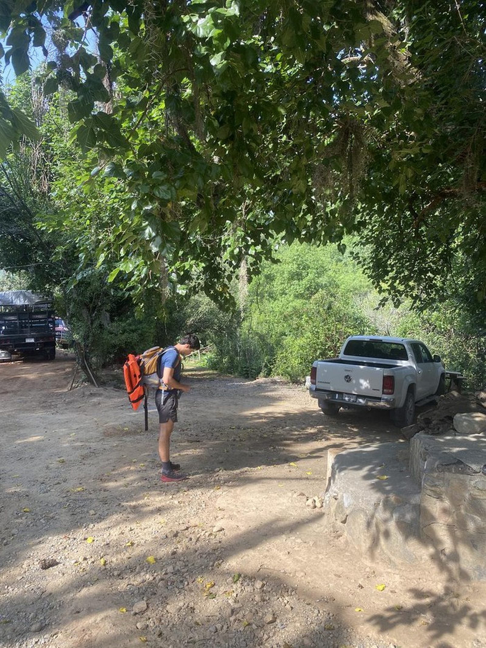
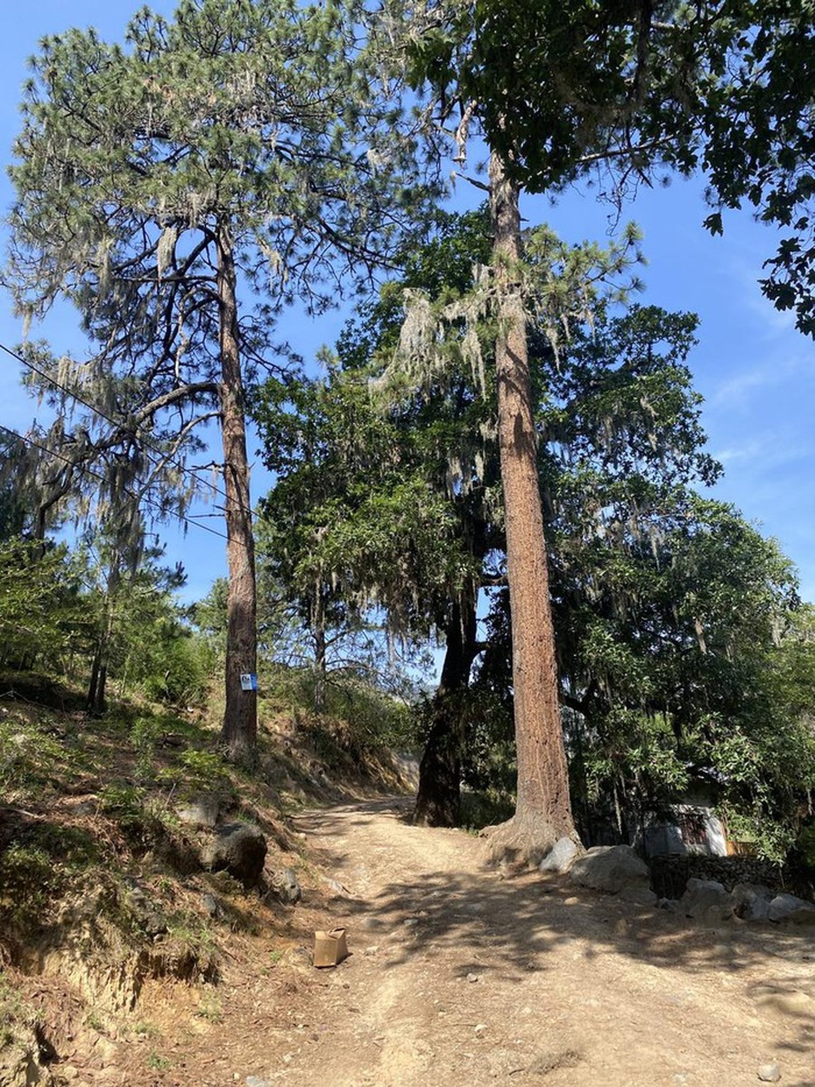
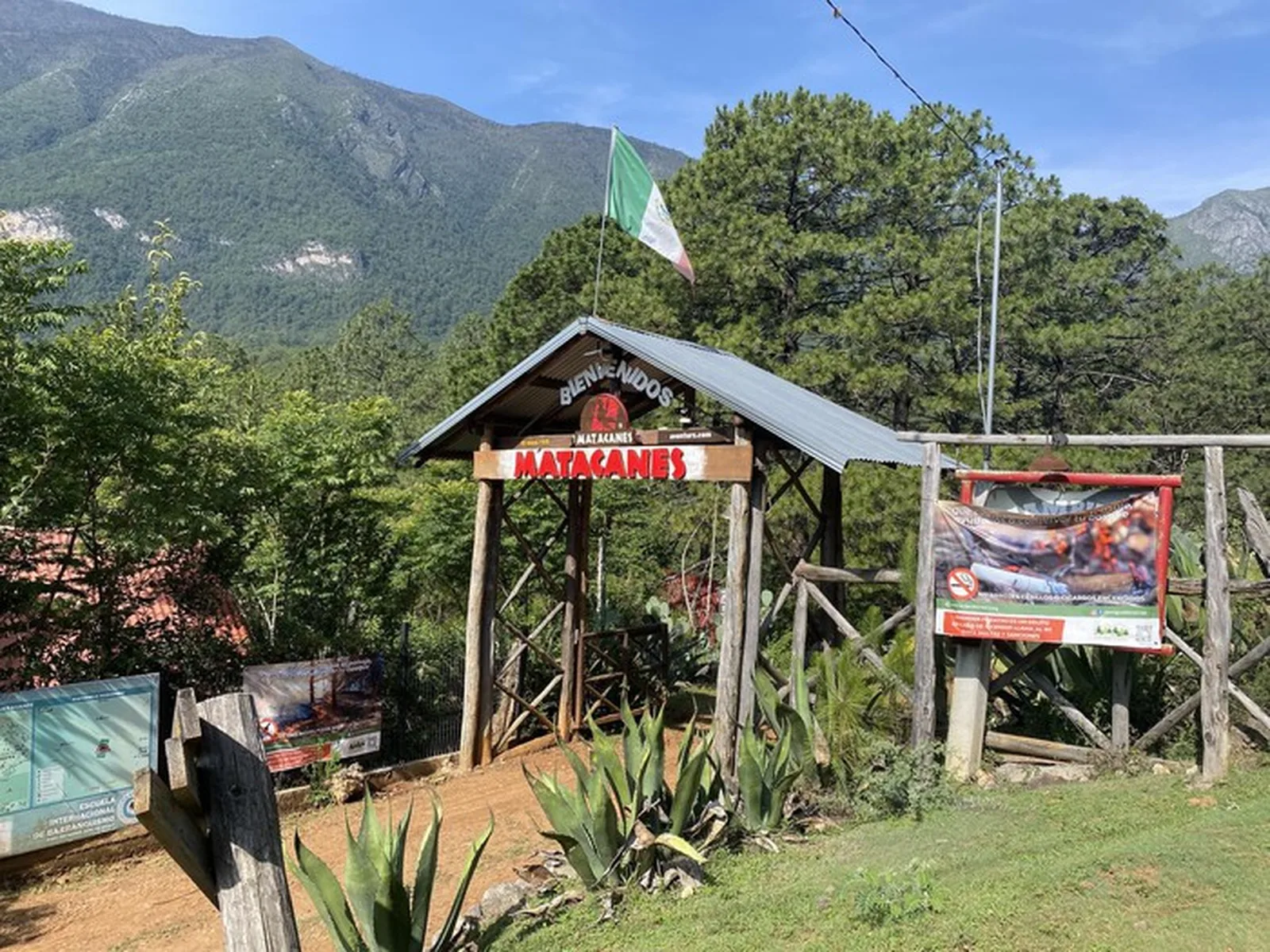
Drive to Potrero Redondo in Santiago, NL. Take the highway through Cola de Caballo and continue toward Las Adjuntas. The trailhead is at the ejido access.
Parking Information
Park at the ejido lot — a daily fee applies.
Fees & Park Hours
Ejido access fee plus mandatory guide fee. Cost varies; budget $1,500-2,500 MXN per person including guide.
Trail Overview
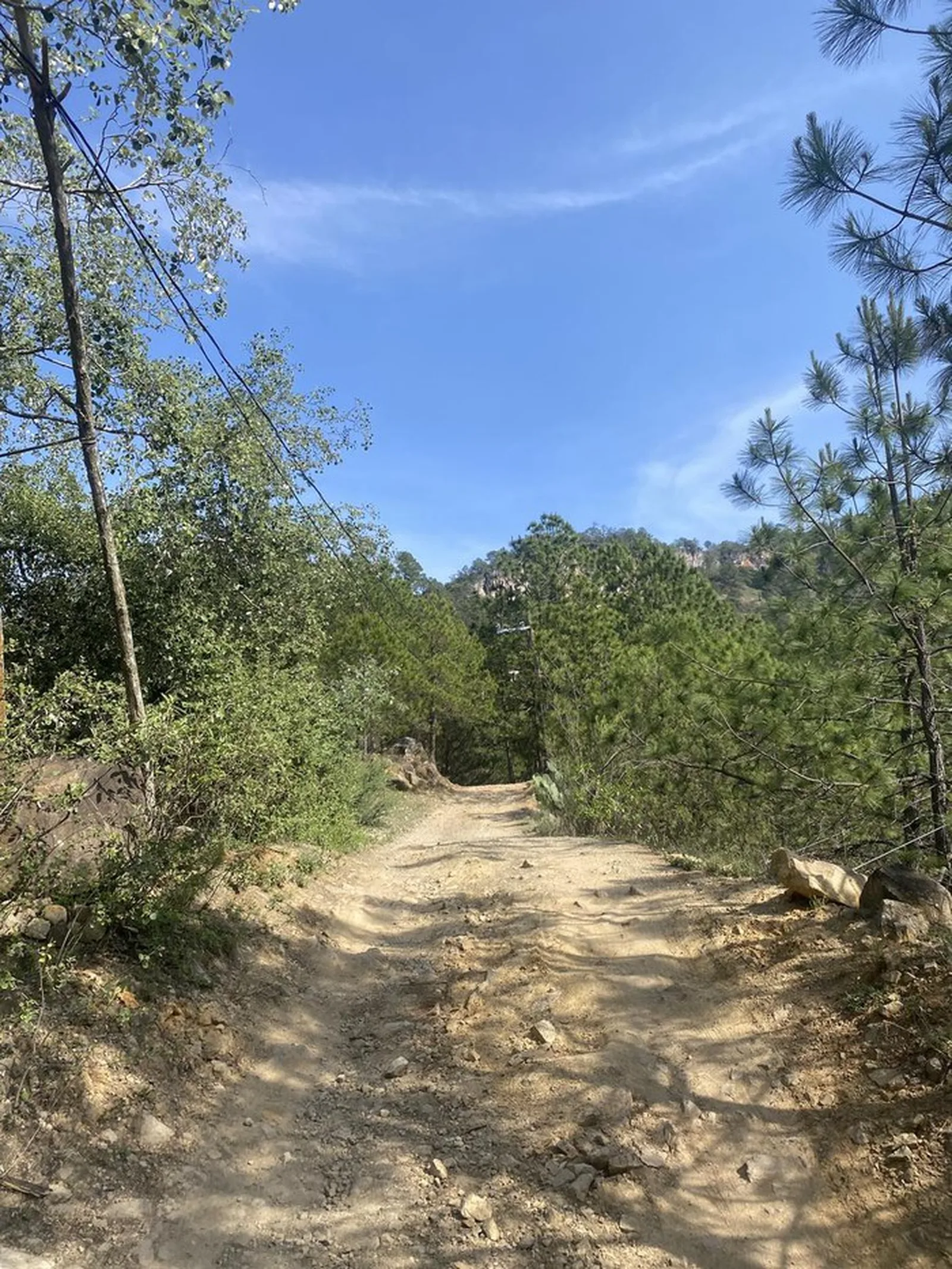
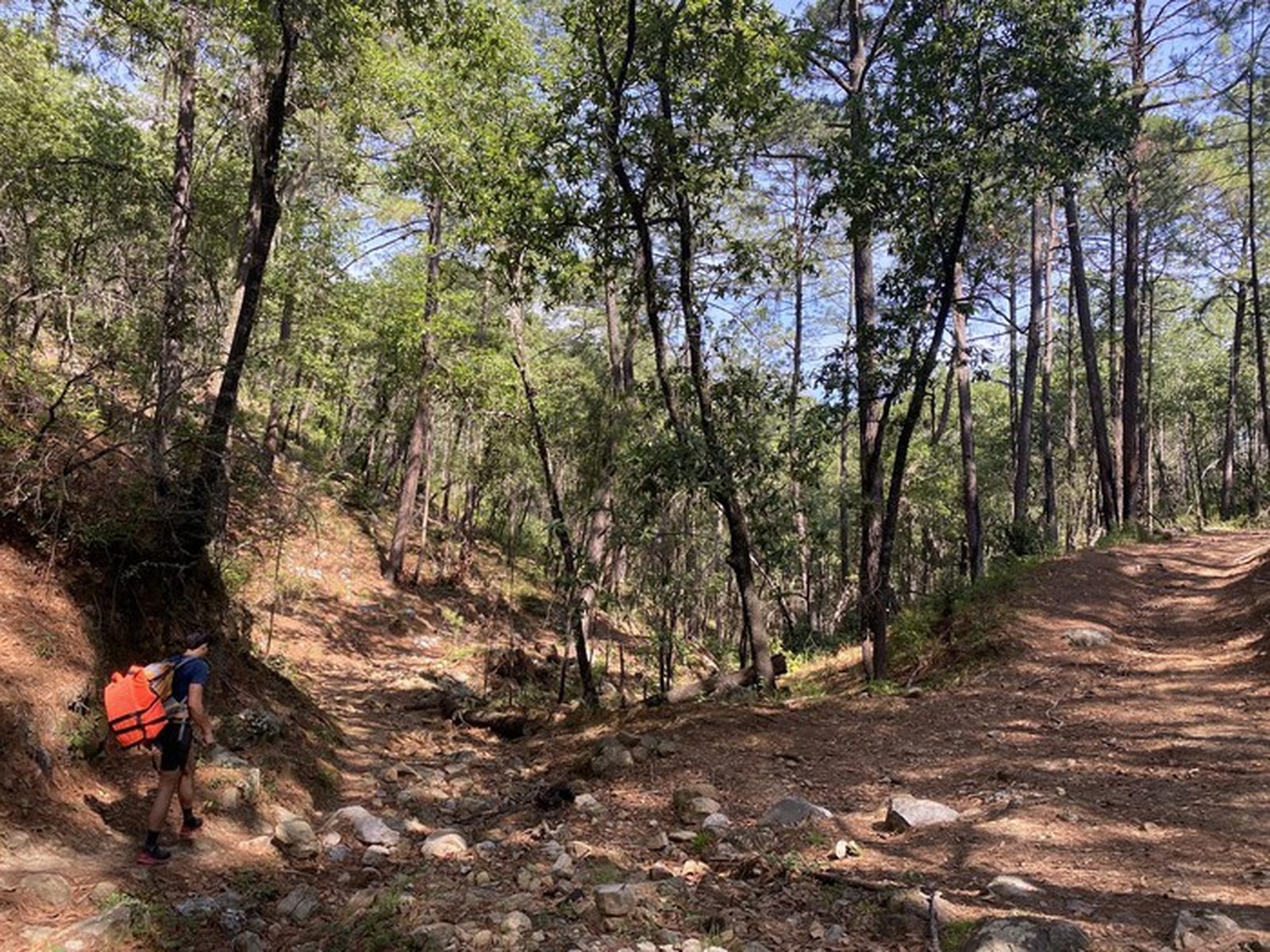
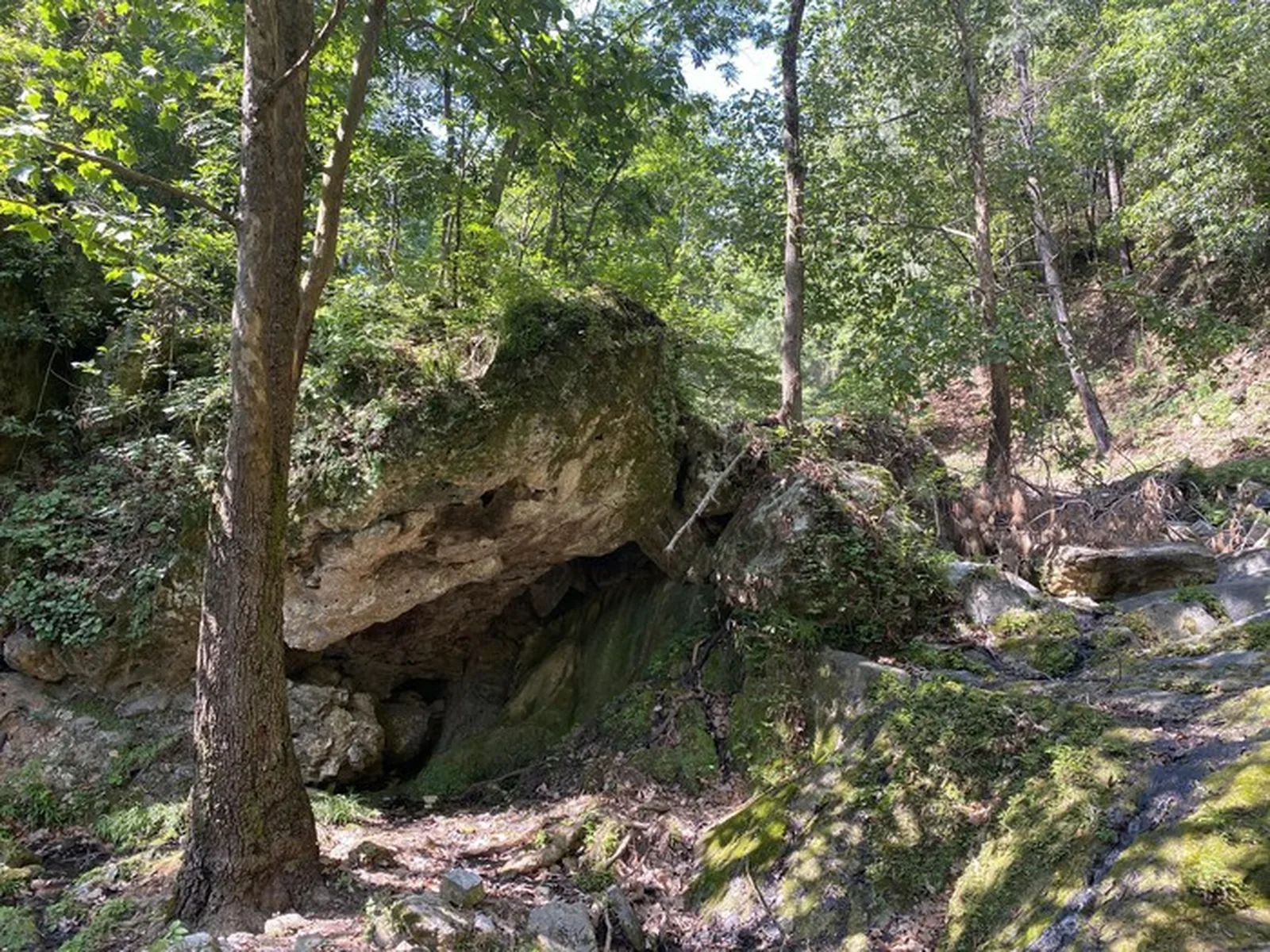
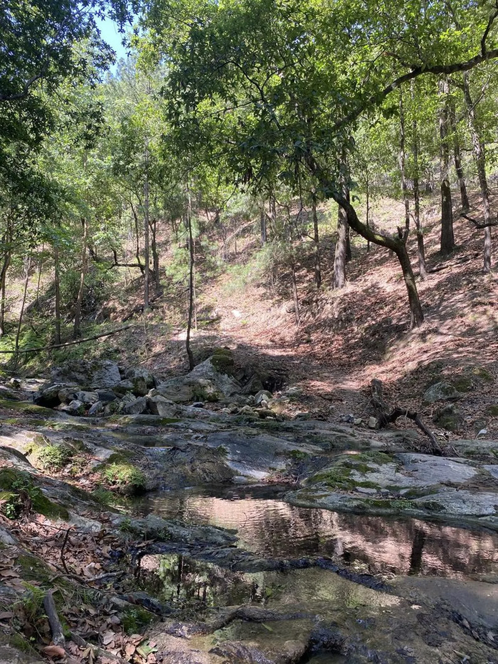
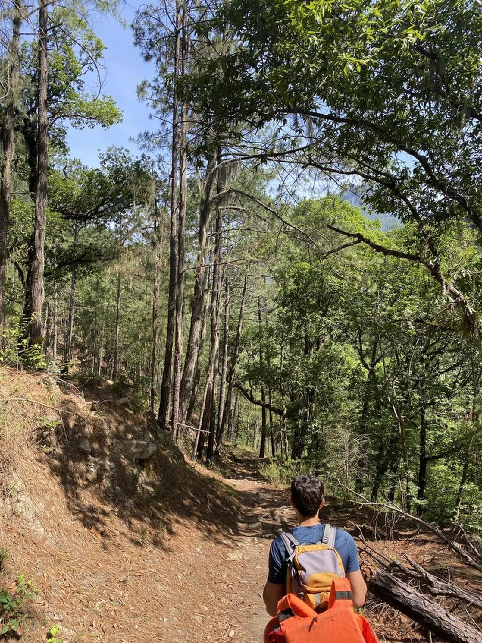
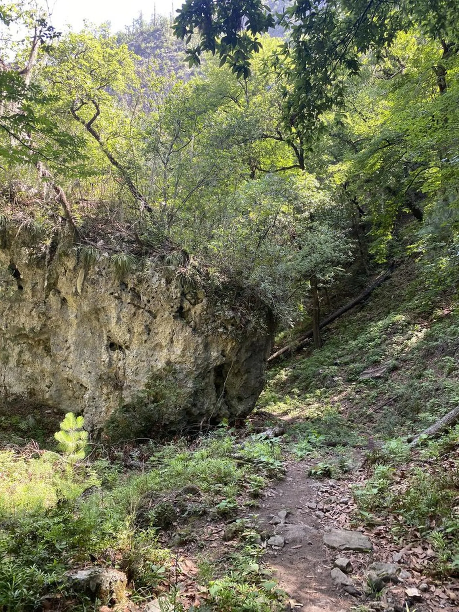
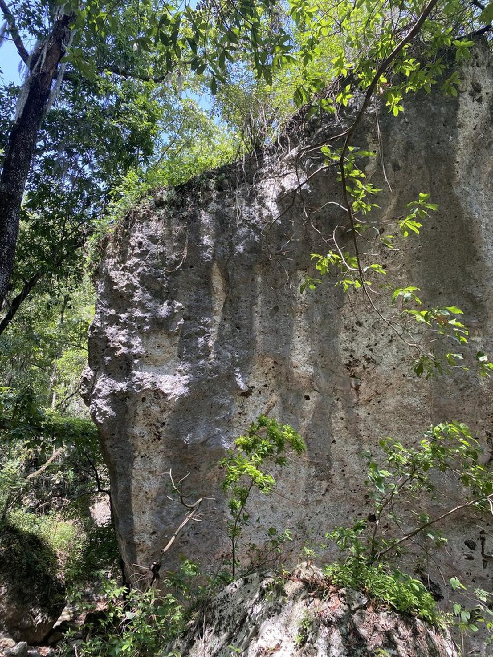
The route descends from Potrero Redondo through the Matacanes canyon system to Las Adjuntas. The full route includes ~30 rappels, several cave passages, and pool swims.
Recommended Gear
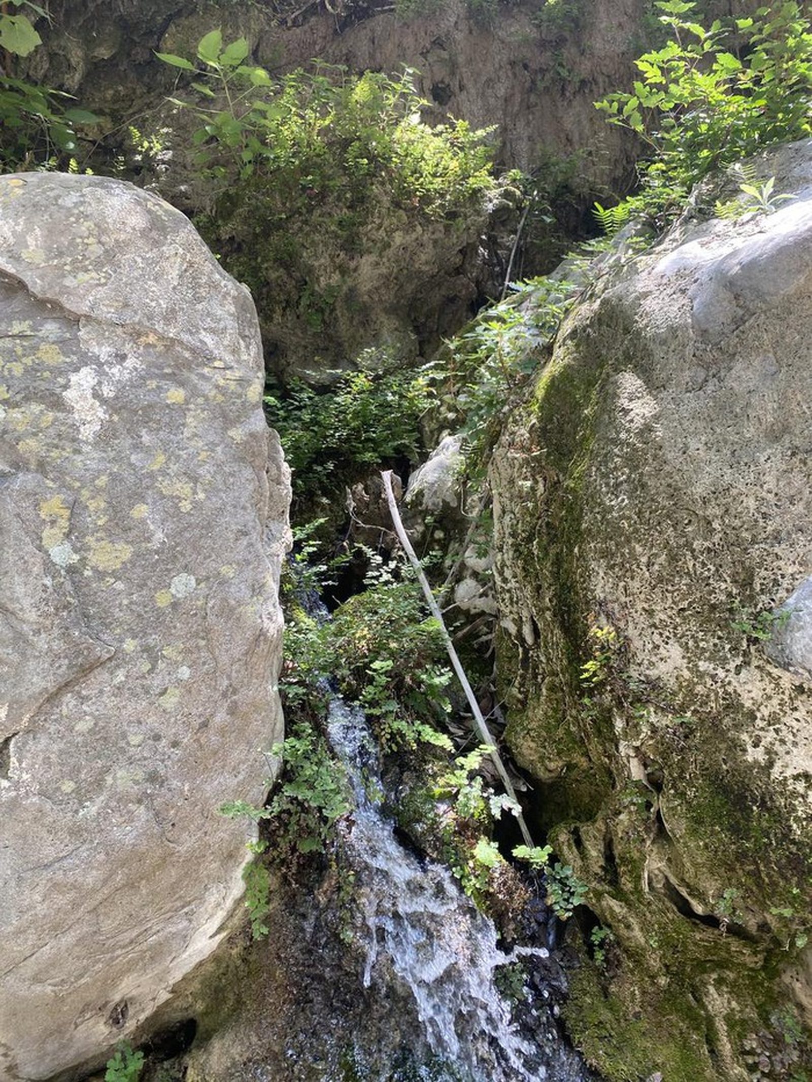
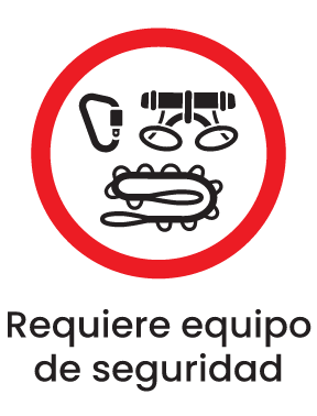
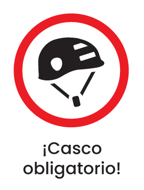
Full canyoneering gear via your guide. Waterproof bag for valuables, headlamp, gloves. Water can be refilled where it seeps through the rocks and comes out of the wall; never drink from the river. You must bring a container such as a backpack, bum bag or dry box for the trash you generate and any you find. Avoid prepared food that can easily open or fall apart with water or jumps, and food with strong smells that may attract local wildlife. Mandatory gear: helmet, whistle, life jacket, dry bag, headlamp, harness, lanyard, descender and at least 3 carabiners, 60 m rope, backpack resistant to water, abrasion and impacts, sunscreen, first-aid kit and emergency blanket.
What to Expect on the Trail
i
Elevation Gain
706 m
Total Distance (Out & back)
22.97 km
Total Time
5 h 46 m
Max Elevation
1496 m a.s.l.
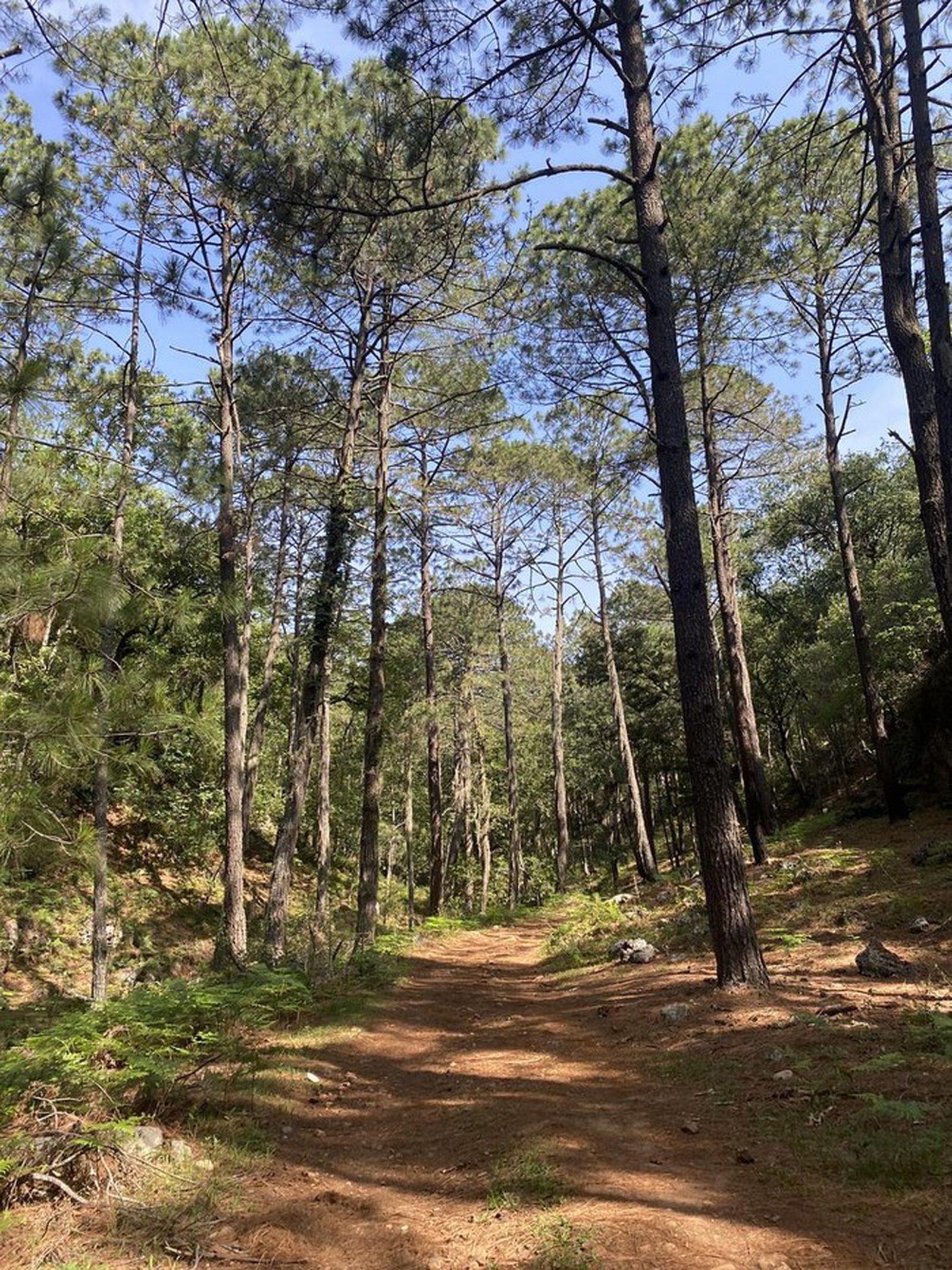
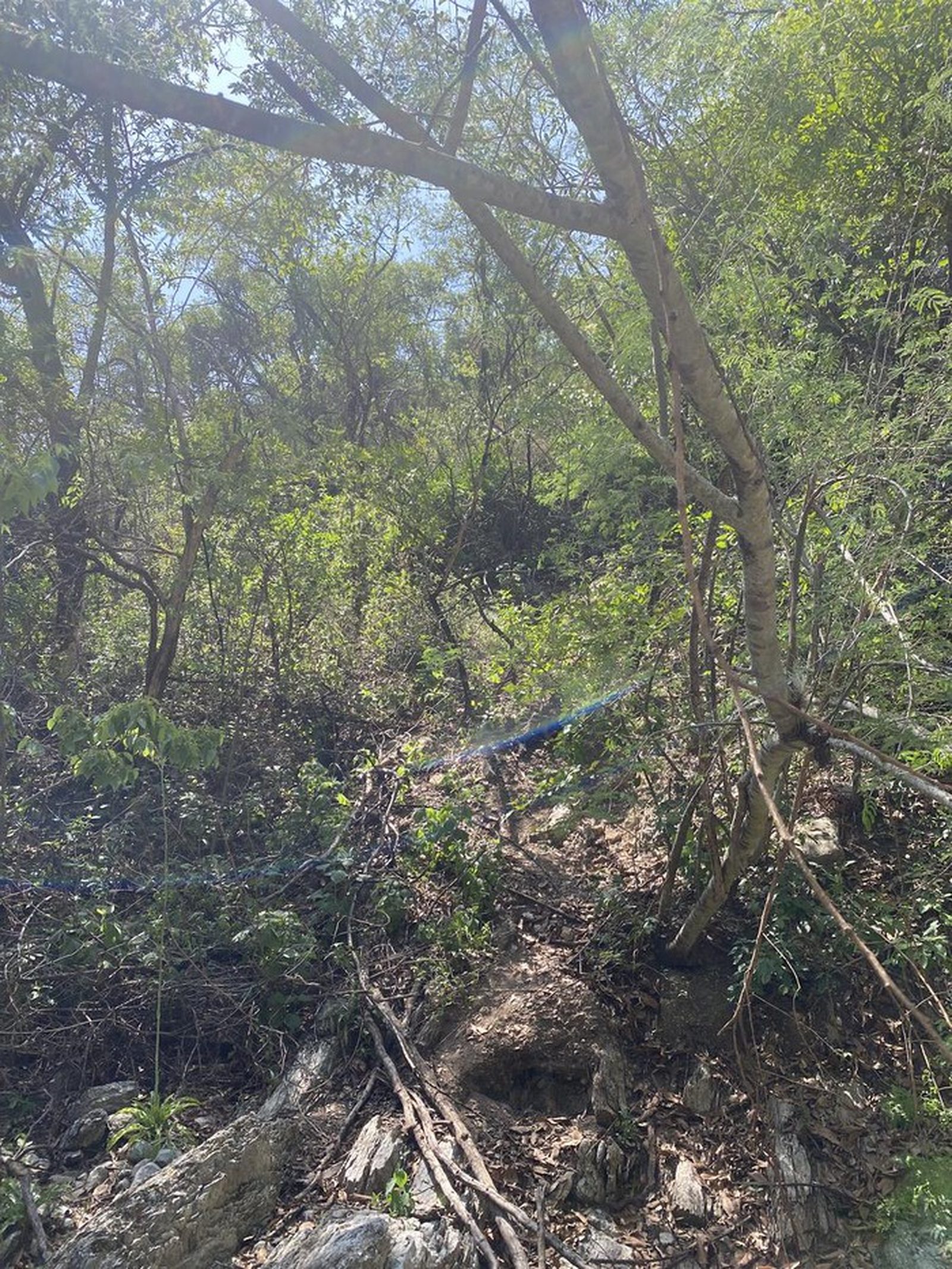
Although the route has only 150 meters of elevation gain at the start in the approach to the canyon, we decided to classify this route with a level 4 technical difficulty due to its long distance of 5.5 kilometers of approach along trails and 14 kilometers of canyon and river. This route can be physically compared to routes such as: El Sapo, La Chancaca, or Cerro del Avionazo, so if you are looking to prepare for this route, we recommend visiting these others beforehand.