
Pico La Ventana, Rayones
Parque Nacional Cumbres de Monterrey
Zone: Cumbres de Monterrey
- Elevation gain
- 5906 ft
- Distance
- 12.4 mi
- Time
- 7 h 26 m
- Altitude
- 9370 ft
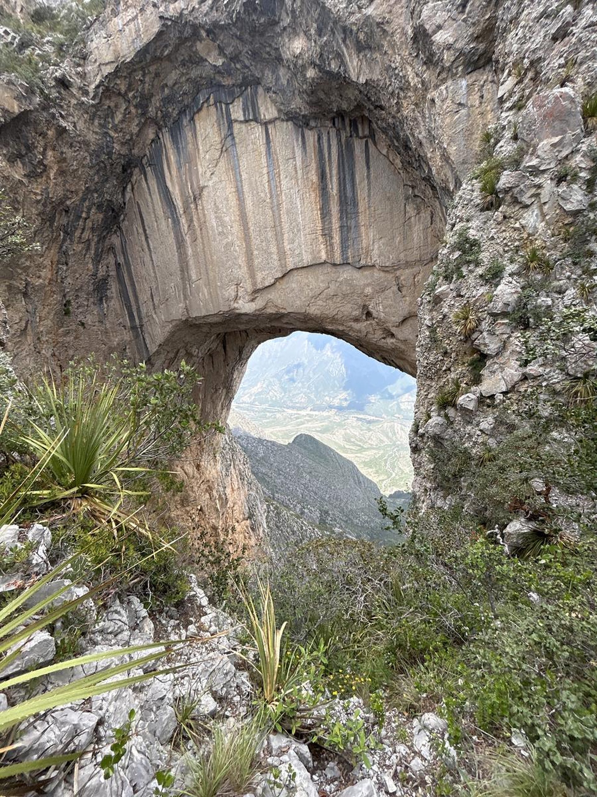
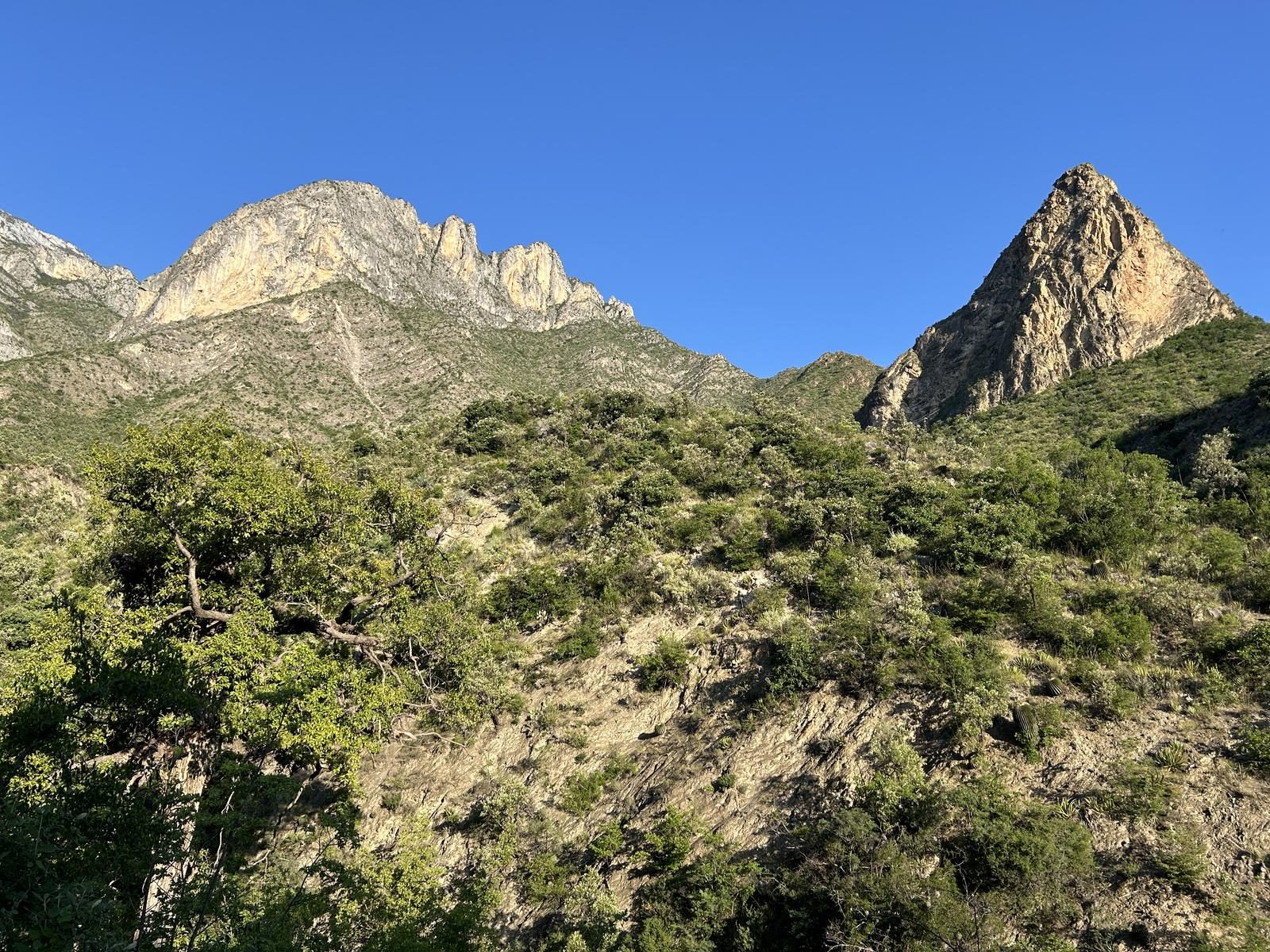
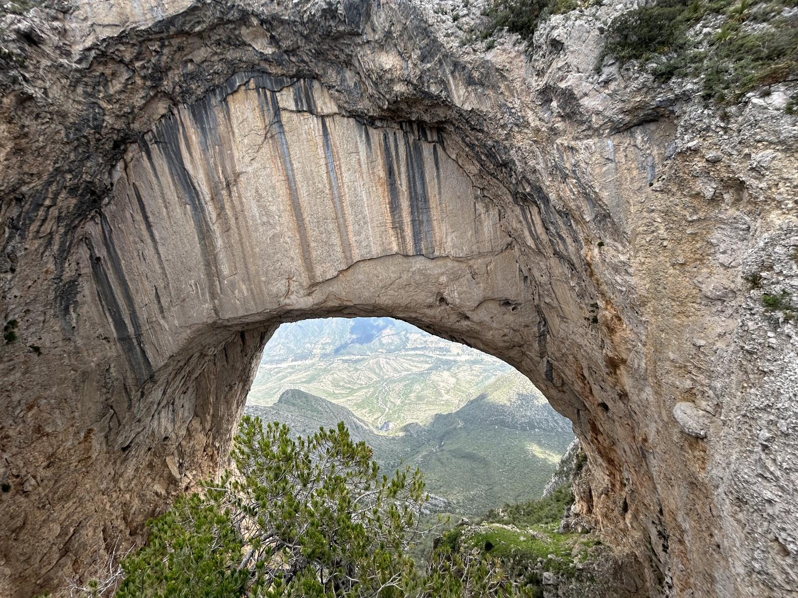
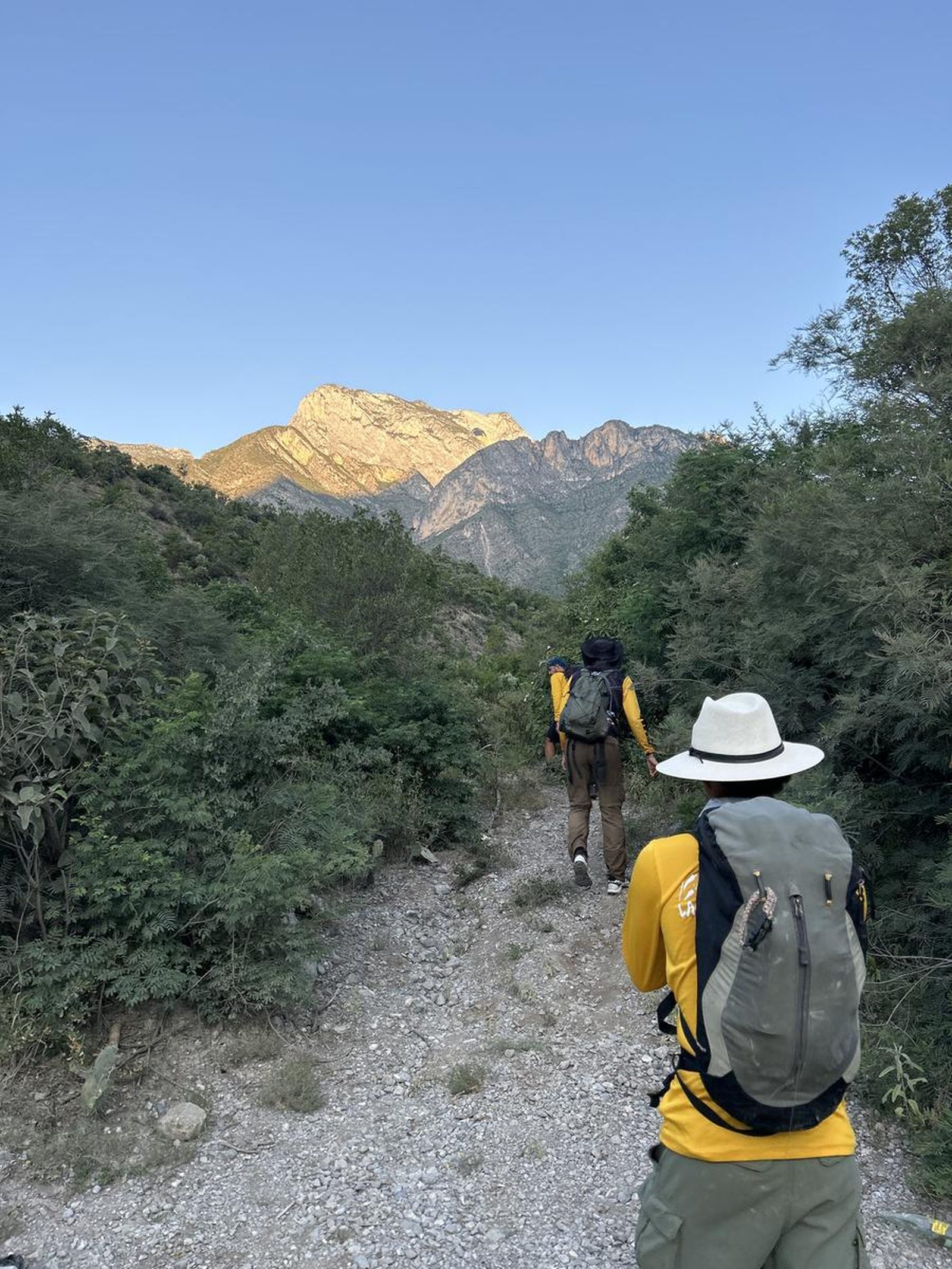
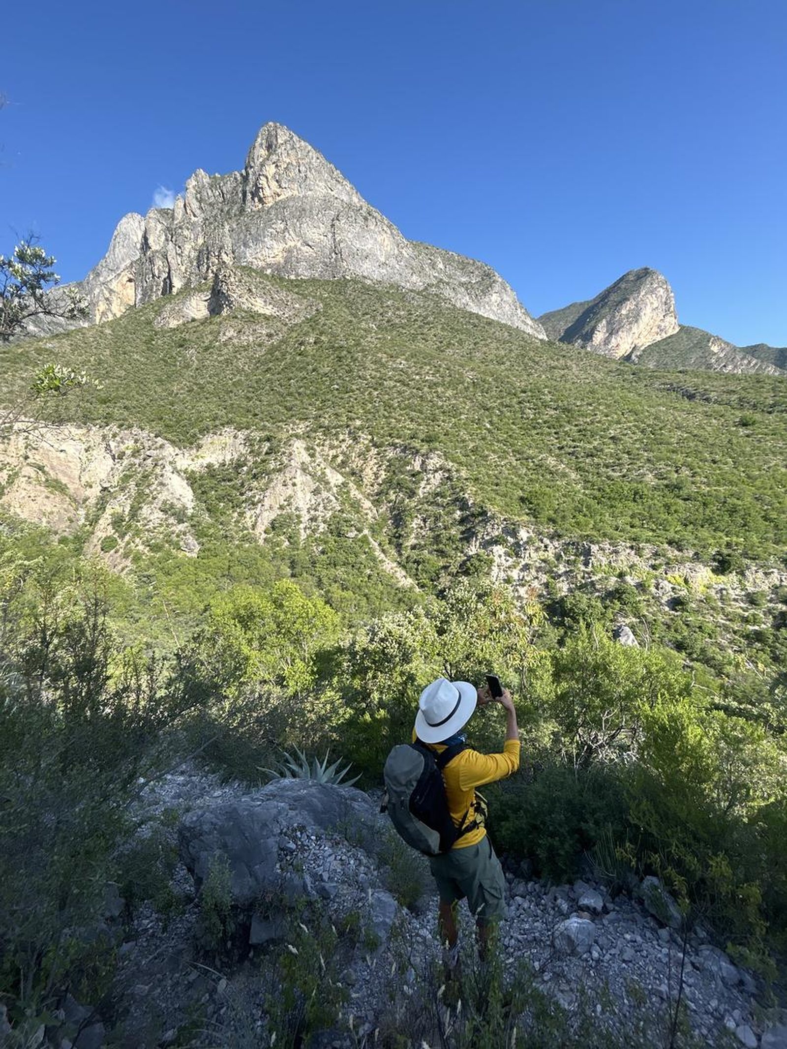
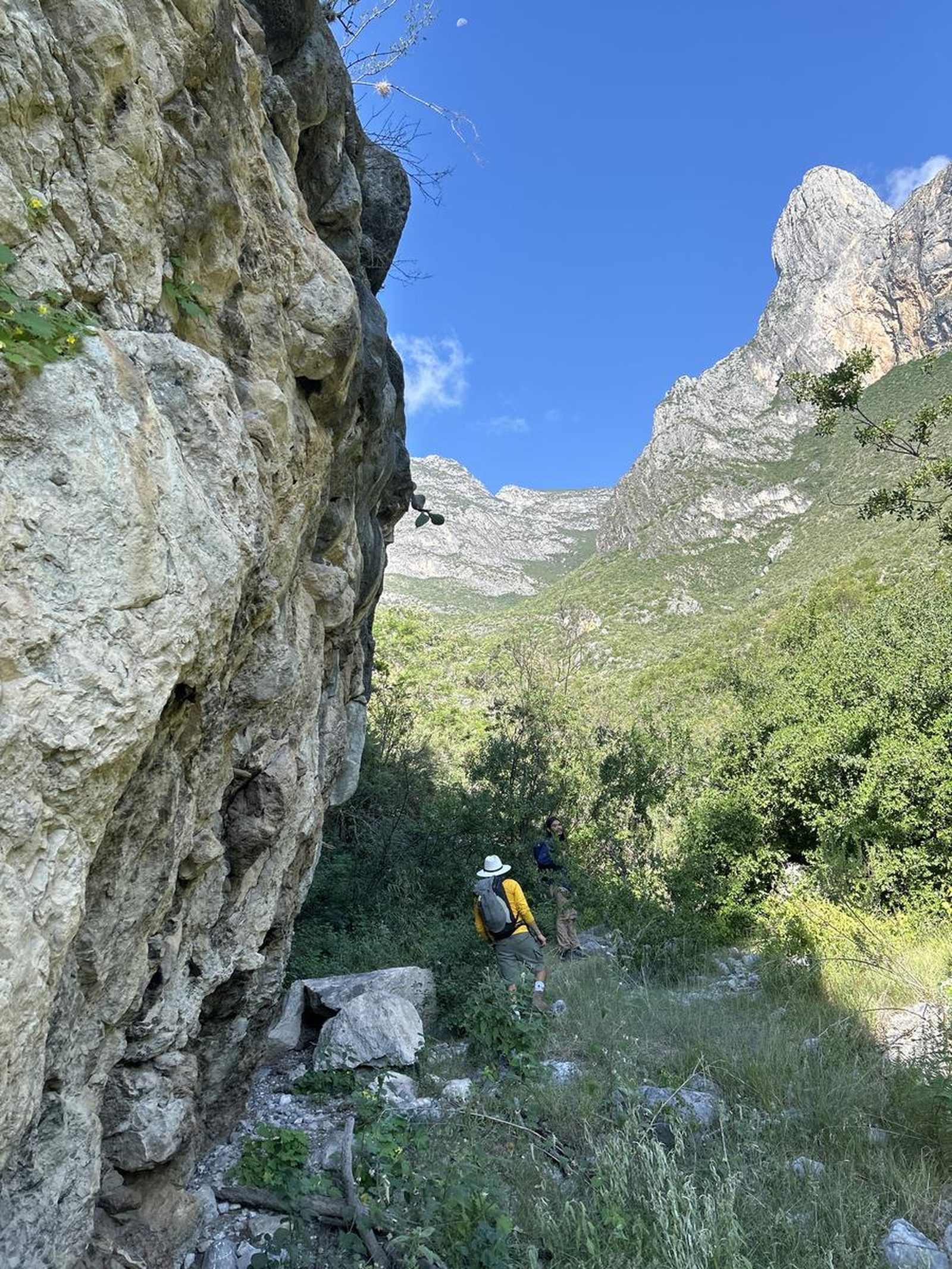
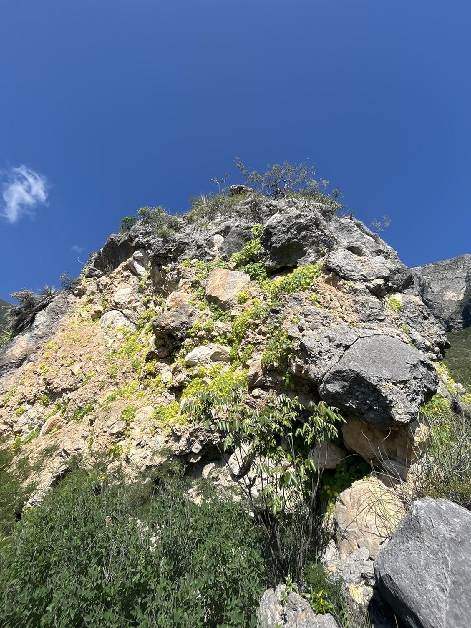
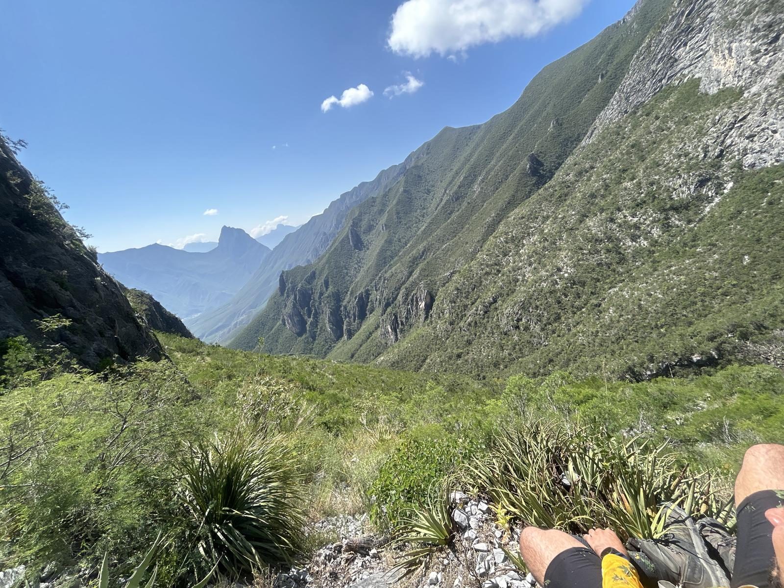
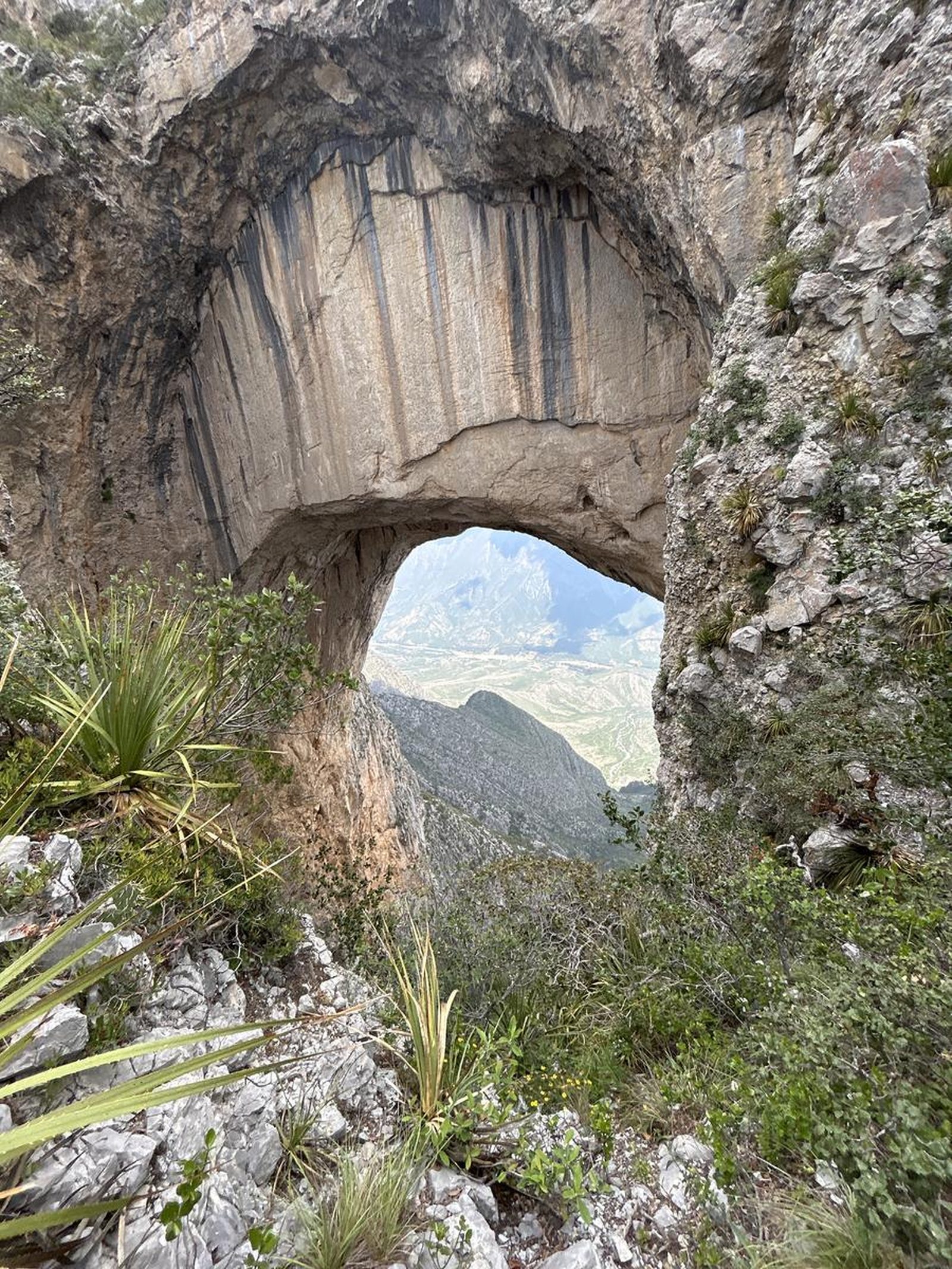
Located in the Sierra Madre Oriental, this window rock formation rises more than 2,855 meters above sea level in the municipality of Rayones, Nuevo León.
📢 Alerts & Updates
This route can be done in any season of the year, but it is recommended to go in winter due to exposure to the sun.
Warnings

Level
i
Packing List
How to get there
Trailhead Access
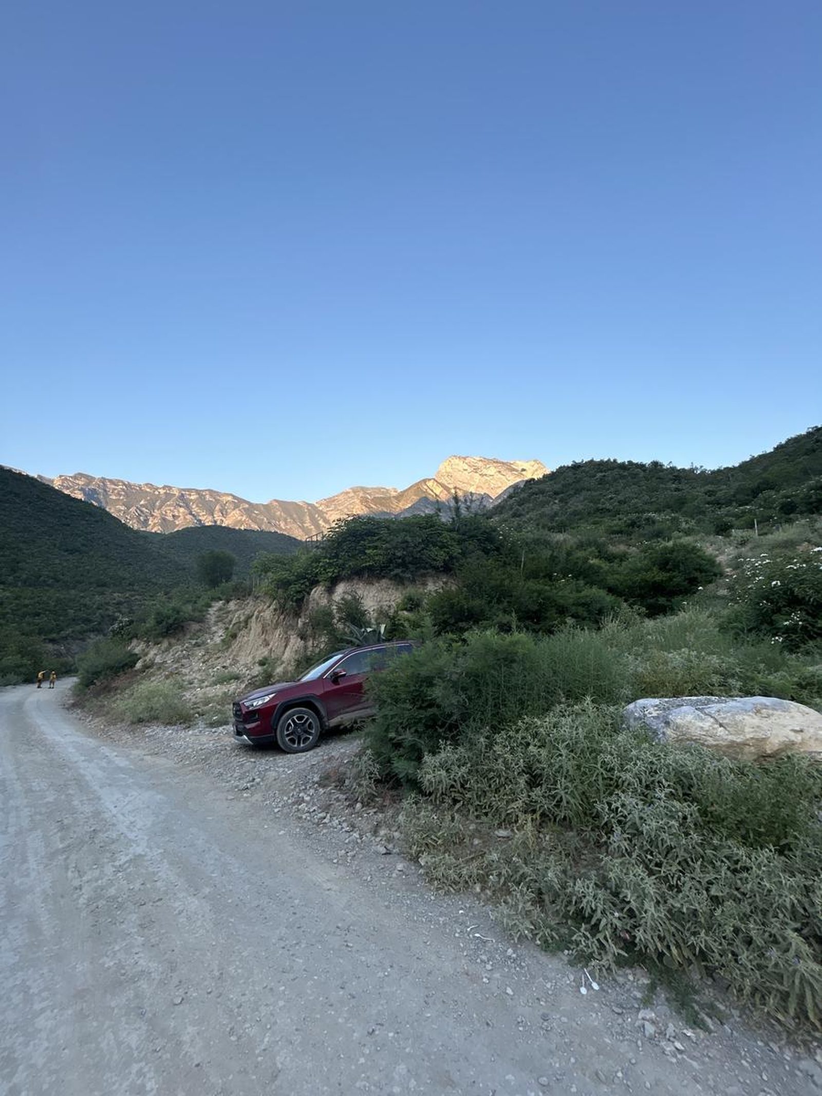
From Monterrey, the most recommended route is to take the National Highway to Montemorelos and continue taking the Montemorelos - Rayones Highway (it is a road without lighting and one lane per direction with sharp turns and dangerous flying). Once you reach the center of Rayones, follow a street adjacent to the Pilón River that turns into small sections of dirt until you reach the beginning of the route, which is in front of an abandoned billiard stand.
Parking Information
It is recommended to park on the side of the street without obstructing the way as there is no designated parking space.
Fees & Park Hours
Free
Trail Overview
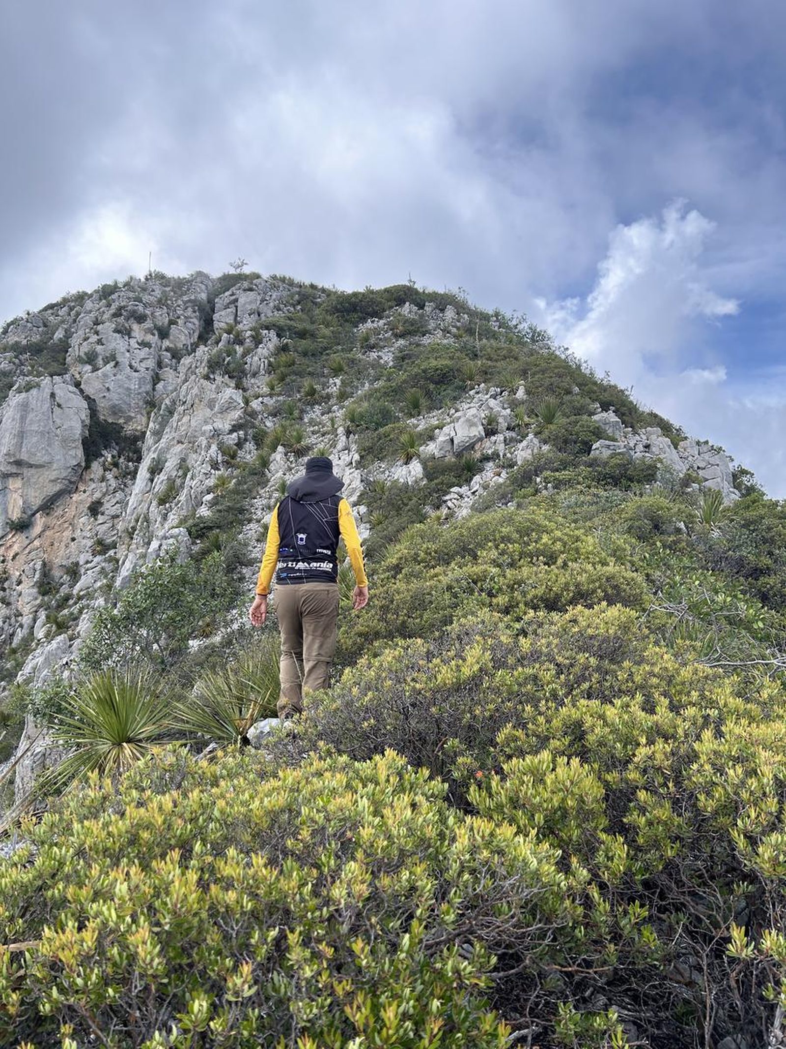
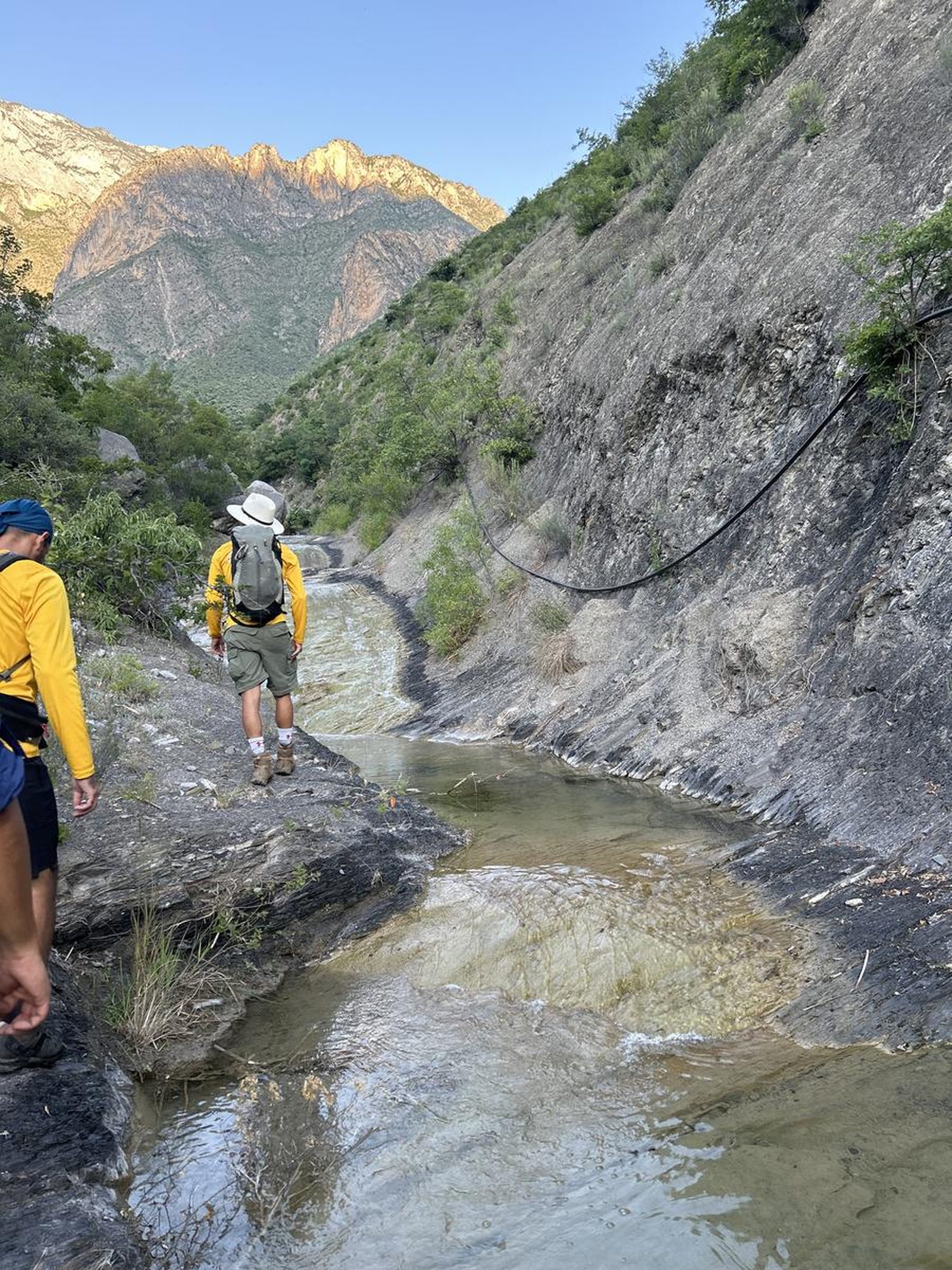
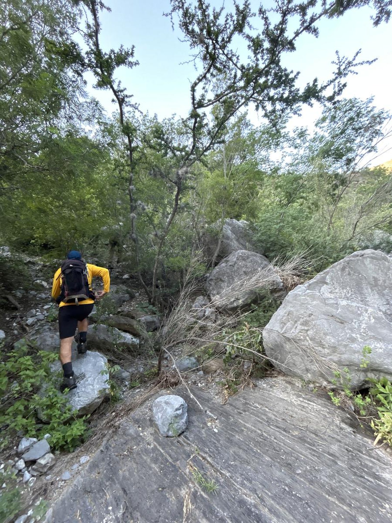
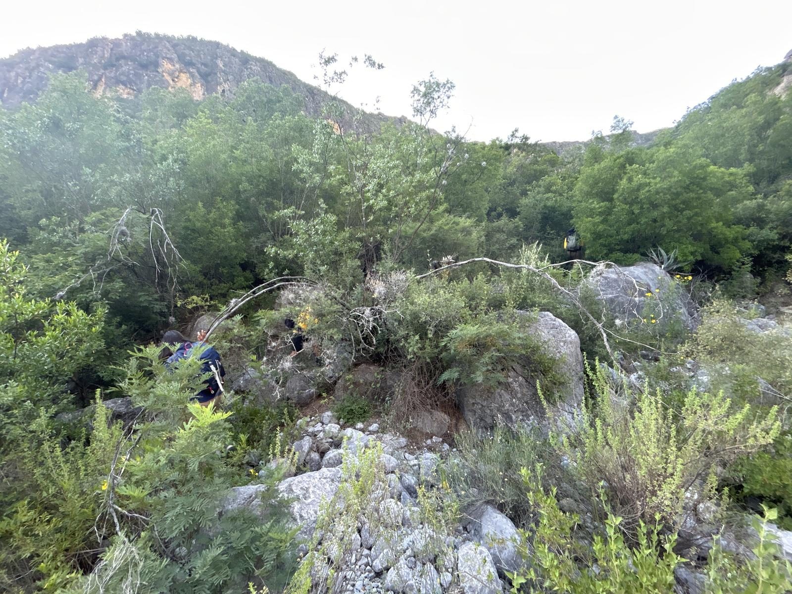
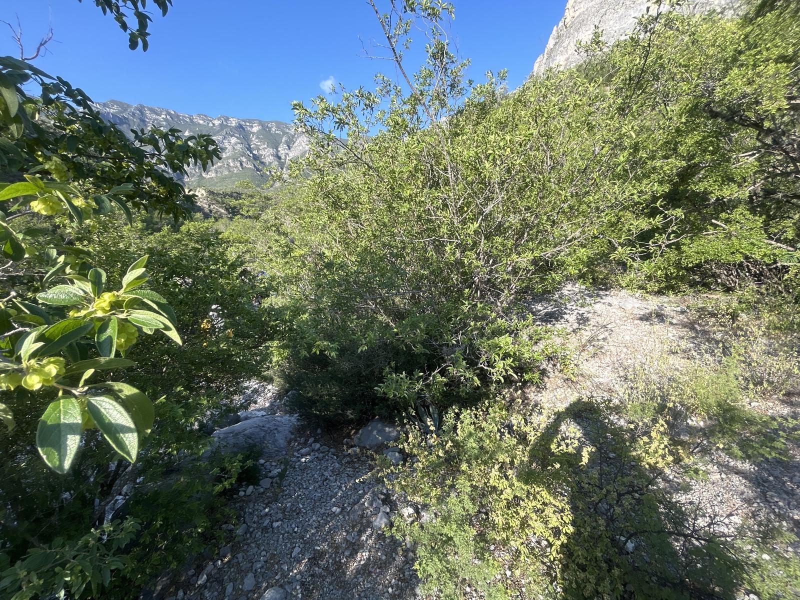
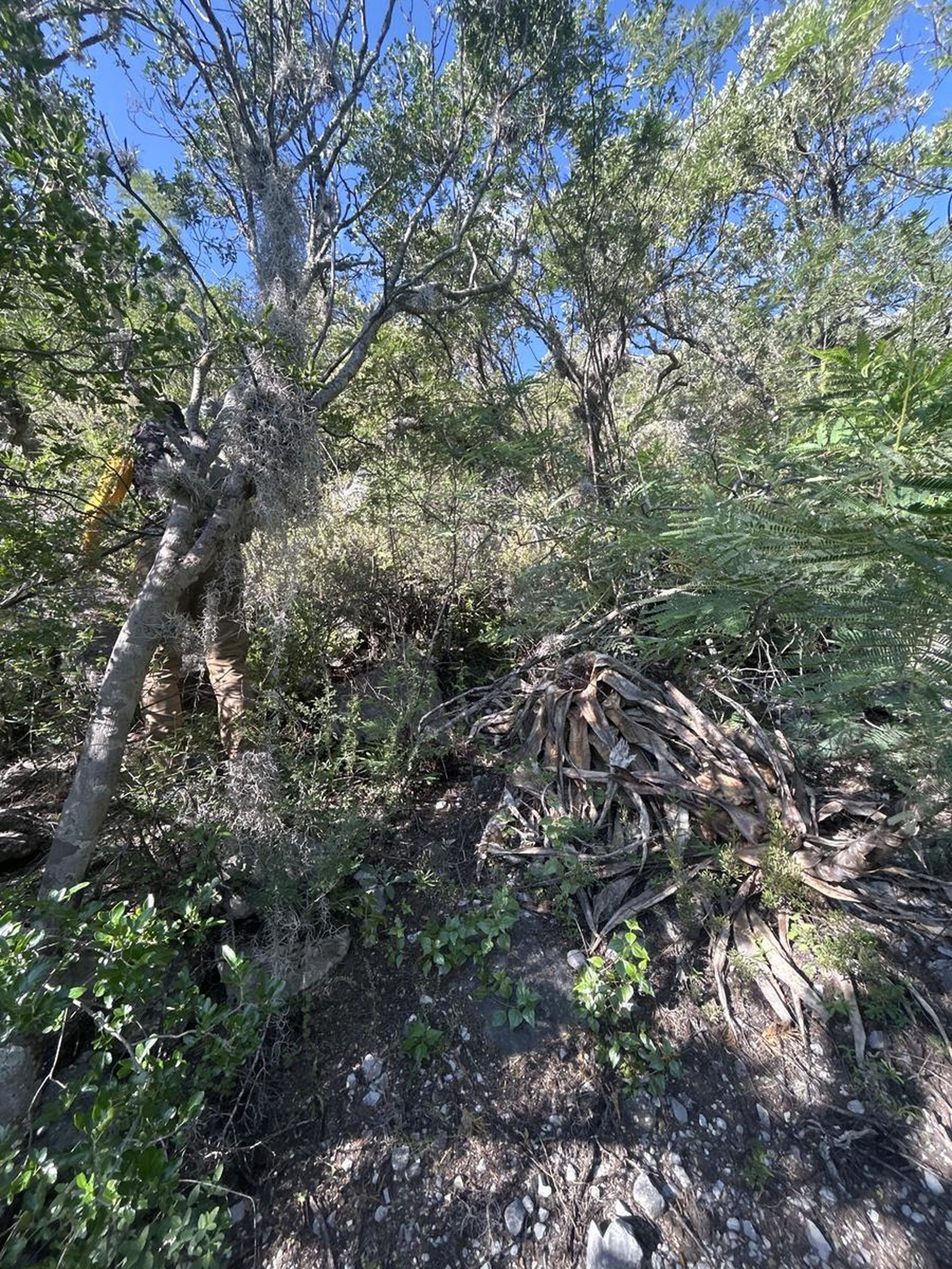
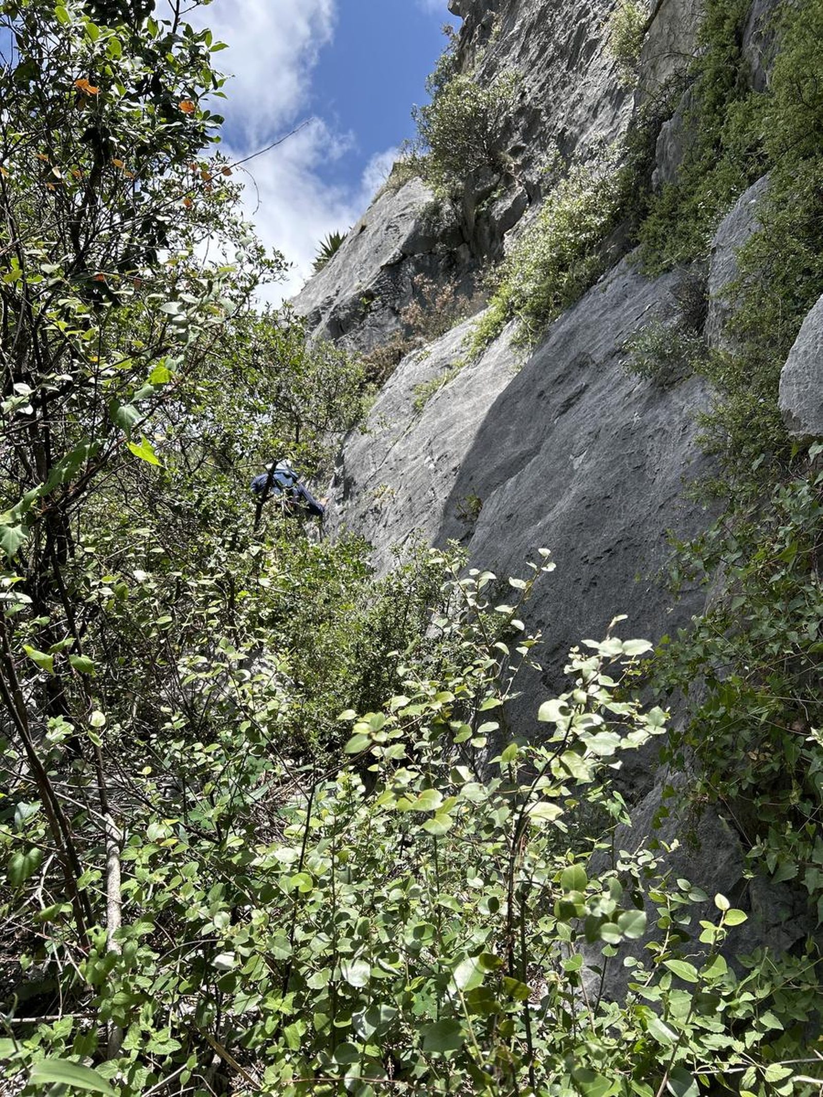
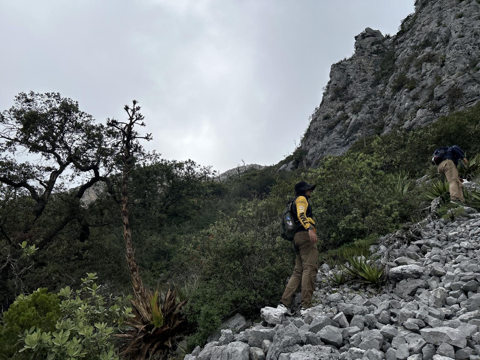
Extremely confusing. This route is not very popular, so vegetation and cacti have taken over the path and in many areas you lose track of the road. It is very important to pay attention to the surroundings.
Recommended Gear
- Hands free lamp (mining type) - Hiking sticks - External battery (PowerBank) - Sunscreen - First aid kit
What to Expect on the Trail
i
Elevation Gain
1800 m
Total Distance (Out & back)
20 km
Total Time
7 h 26 m
Max Elevation
2856 m a.s.l.
Route level 10 (on a scale of 1 to 10). On this route we will climb between 1900 m and 2000 m (cumulative positive elevation gain), on a route of almost 20 km in total. Level 10 of physical difficulty covers a range greater than 1800m of positive elevation gain and is comparable to routes such as La Calle, La Tía Chena and Cerro El Viejo.


