
Pico Licos, Santa Catarina
Parque Ecológico la Huasteca
Zone: La Huasteca guide
- Elevation gain
- 420 ft
- Distance
- 0.6 mi
- Time
- 1 h
- Altitude
- 2651 ft
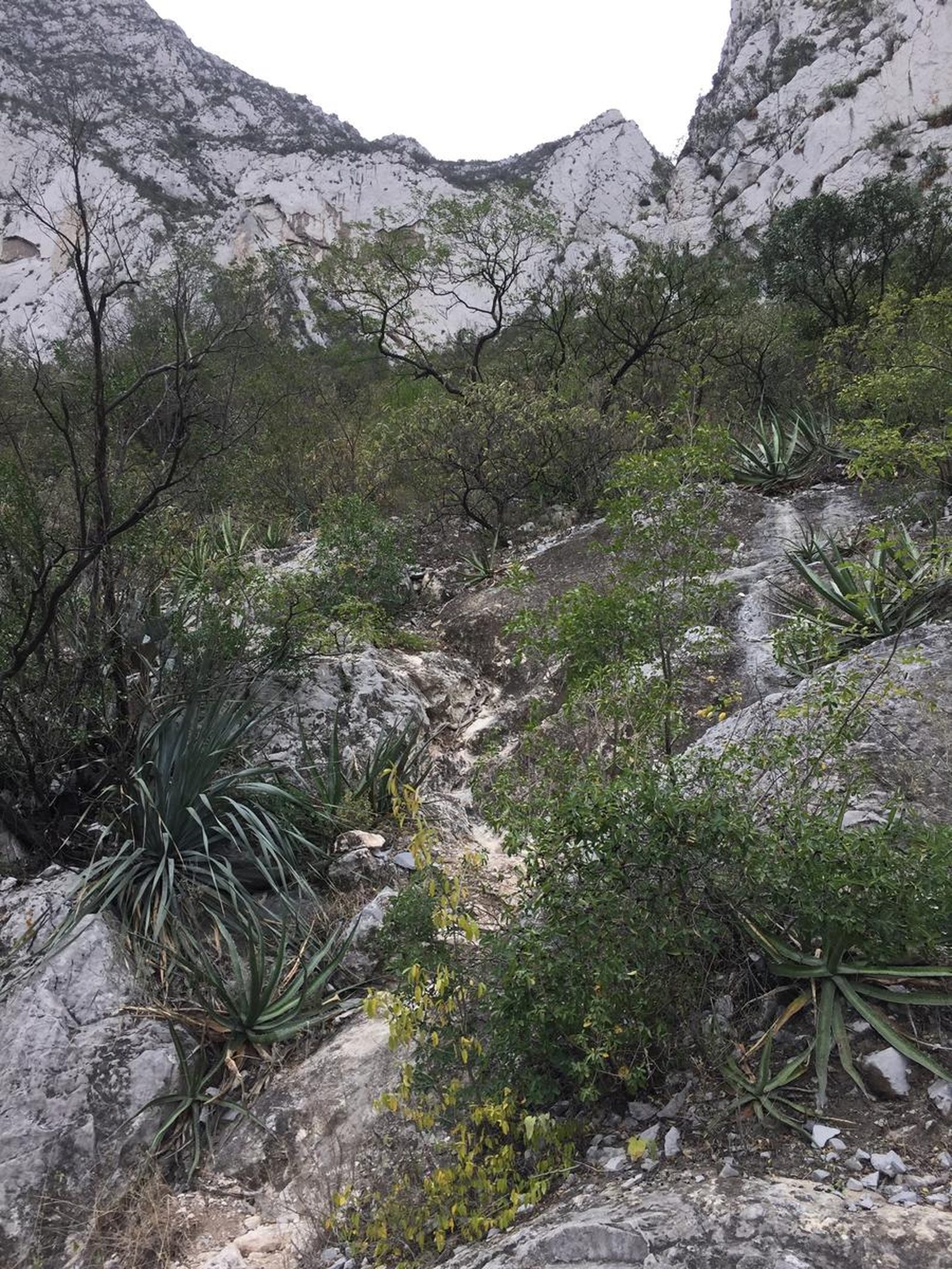
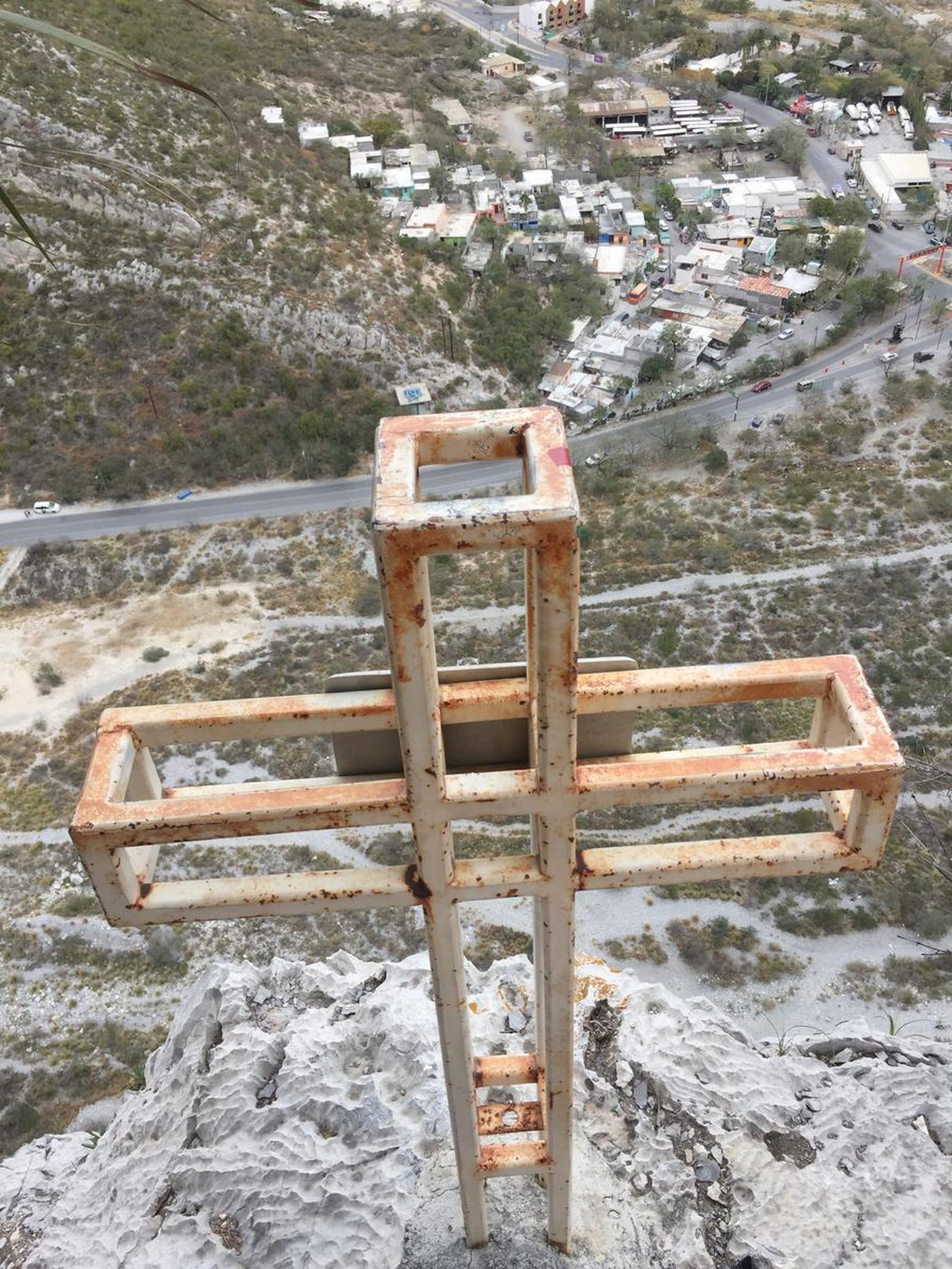
You are inside the “La Huasteca” Ecological Park, an area that makes up a tall and diverse ecosystem that is very characteristic of the northeastern region of Mexico because it is dry-semi-desert.
📢 Alerts & Updates
It can be done at any time of the year.
Warnings




Level
i
Packing List
How to get there
Trailhead Access
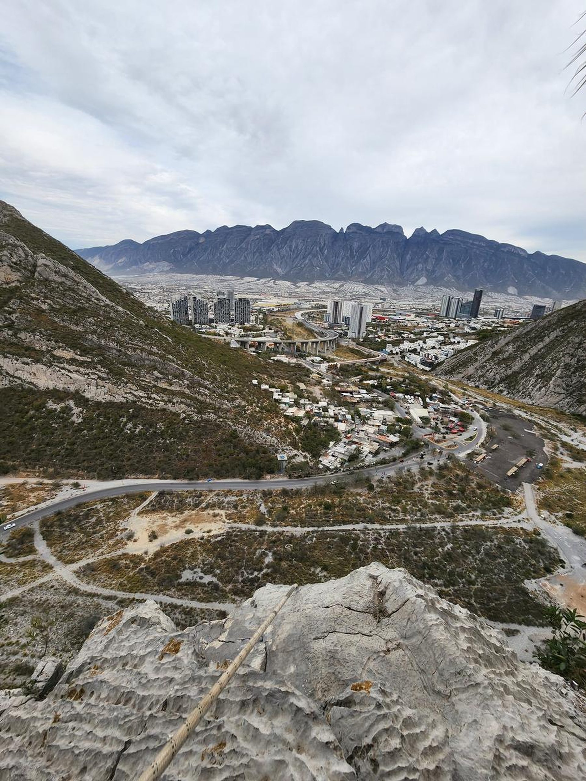
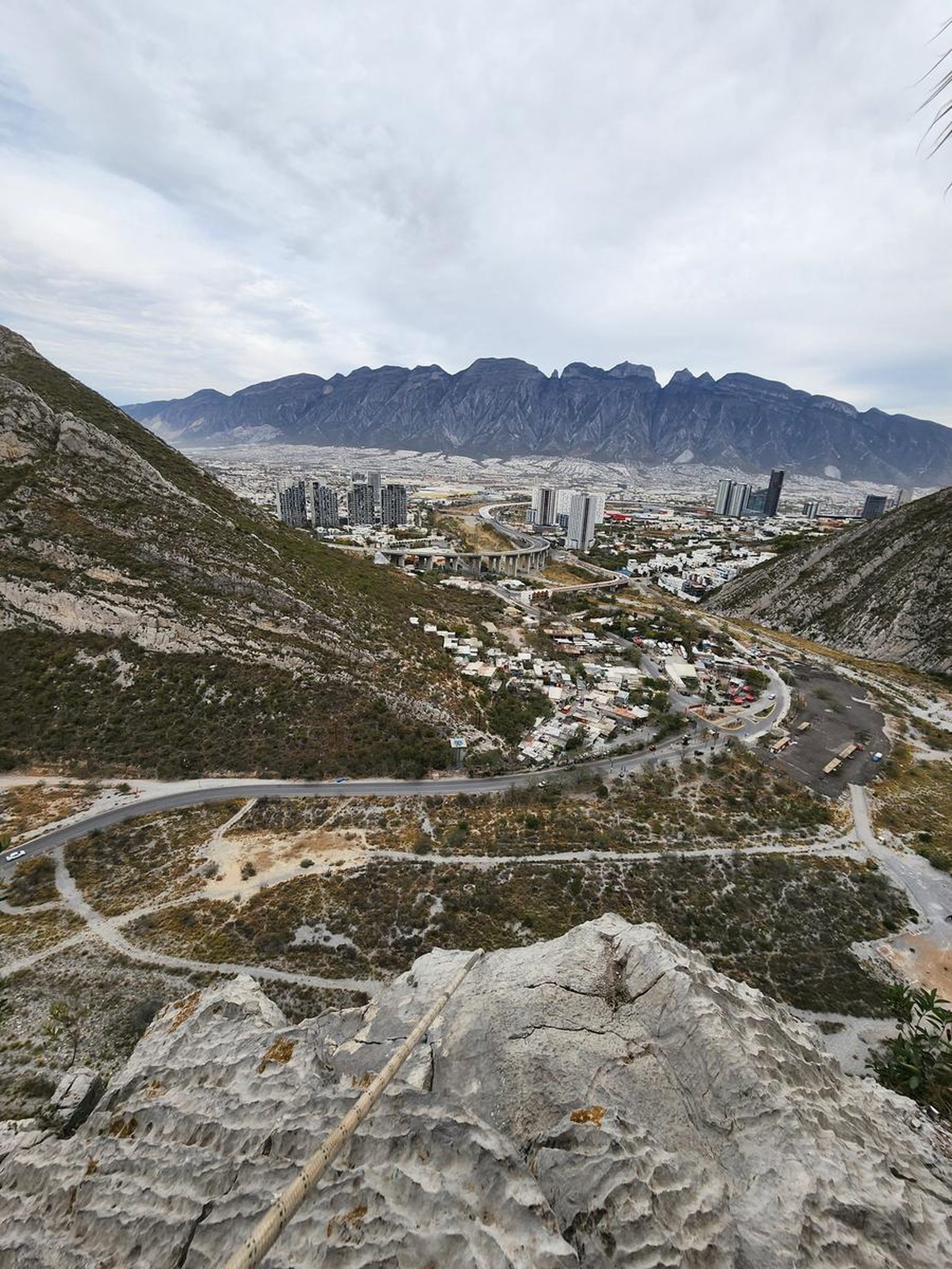
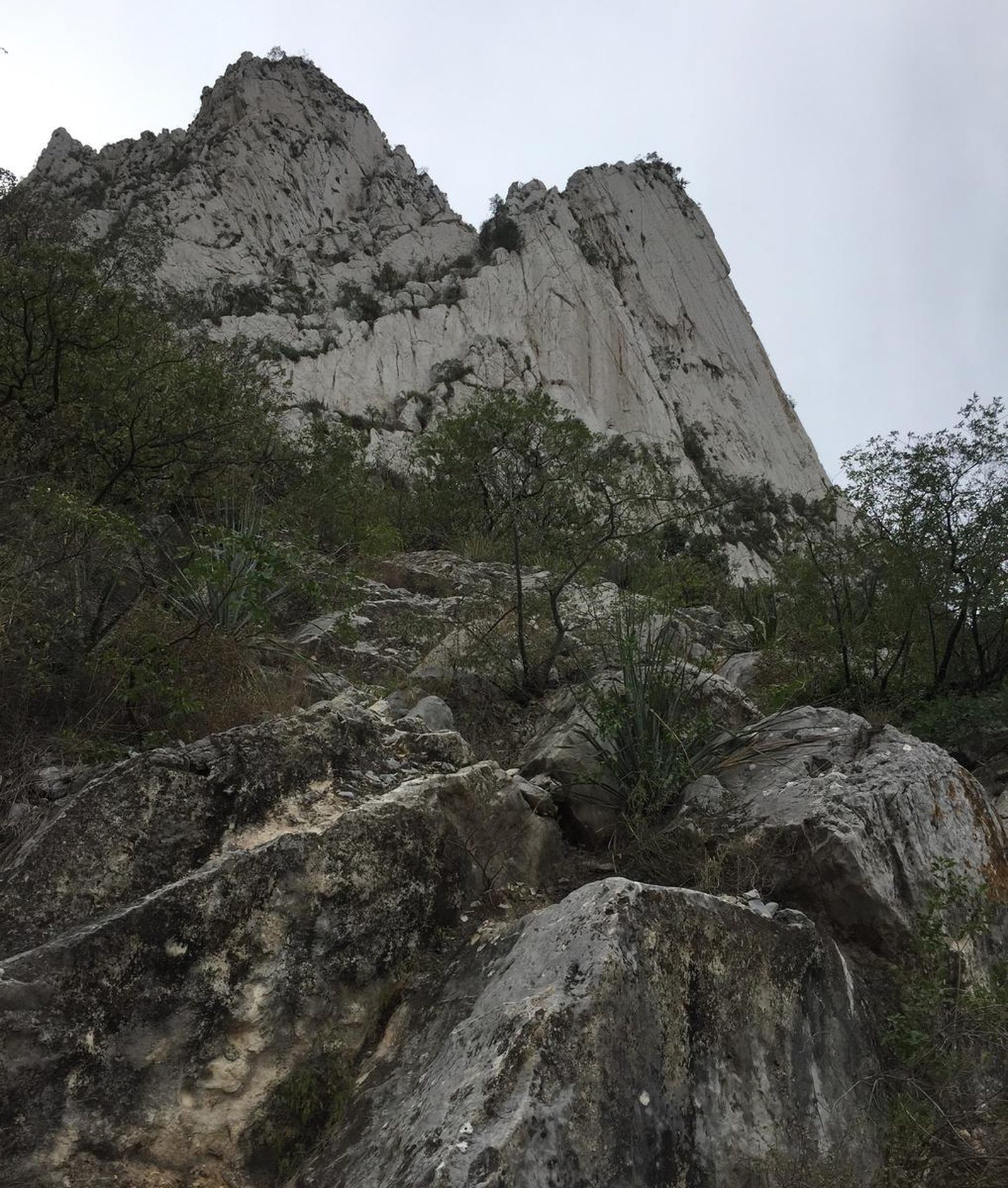
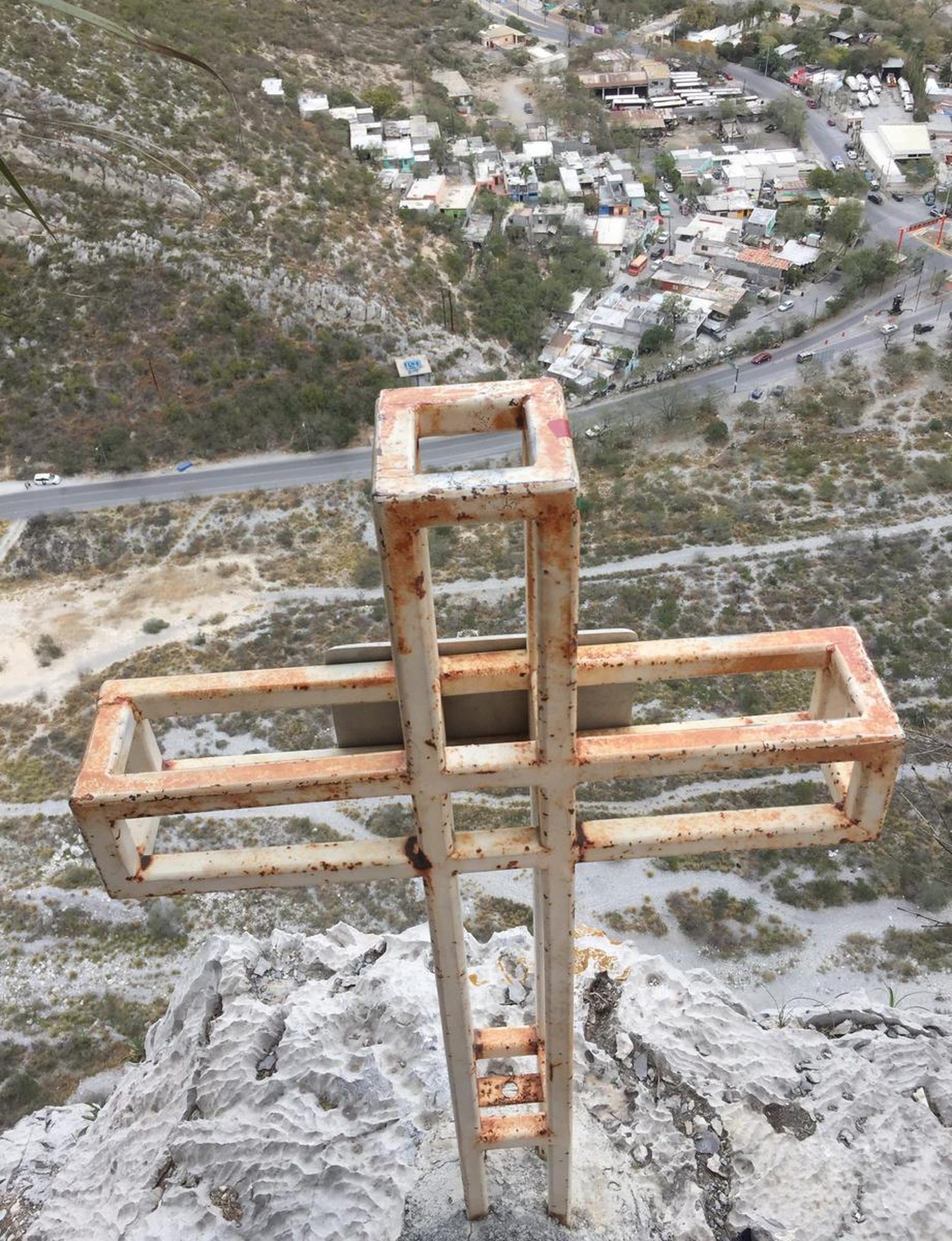
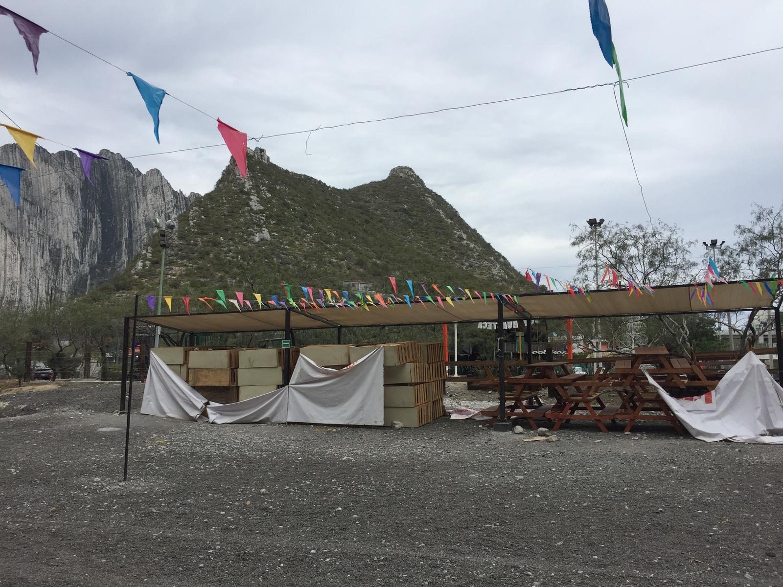
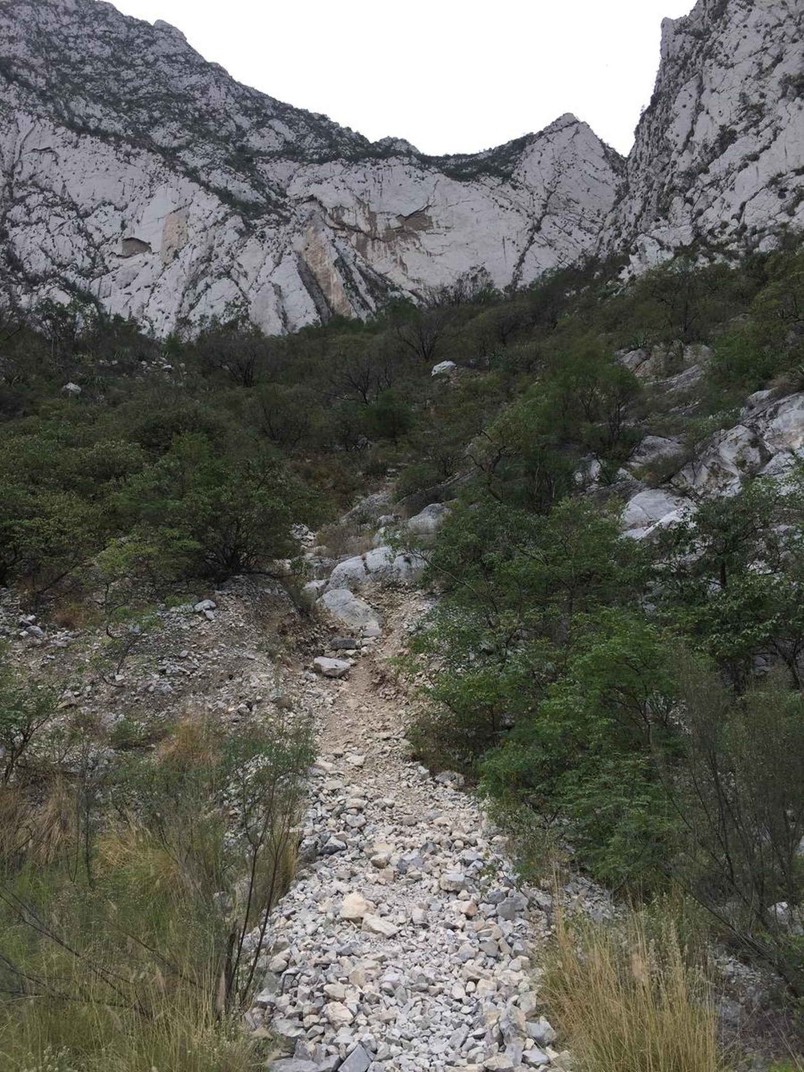
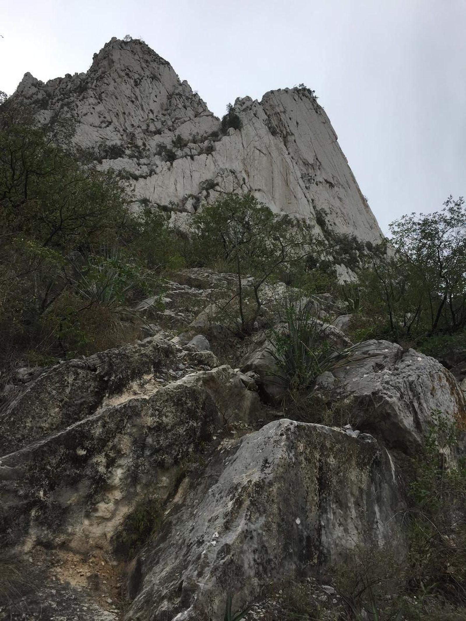
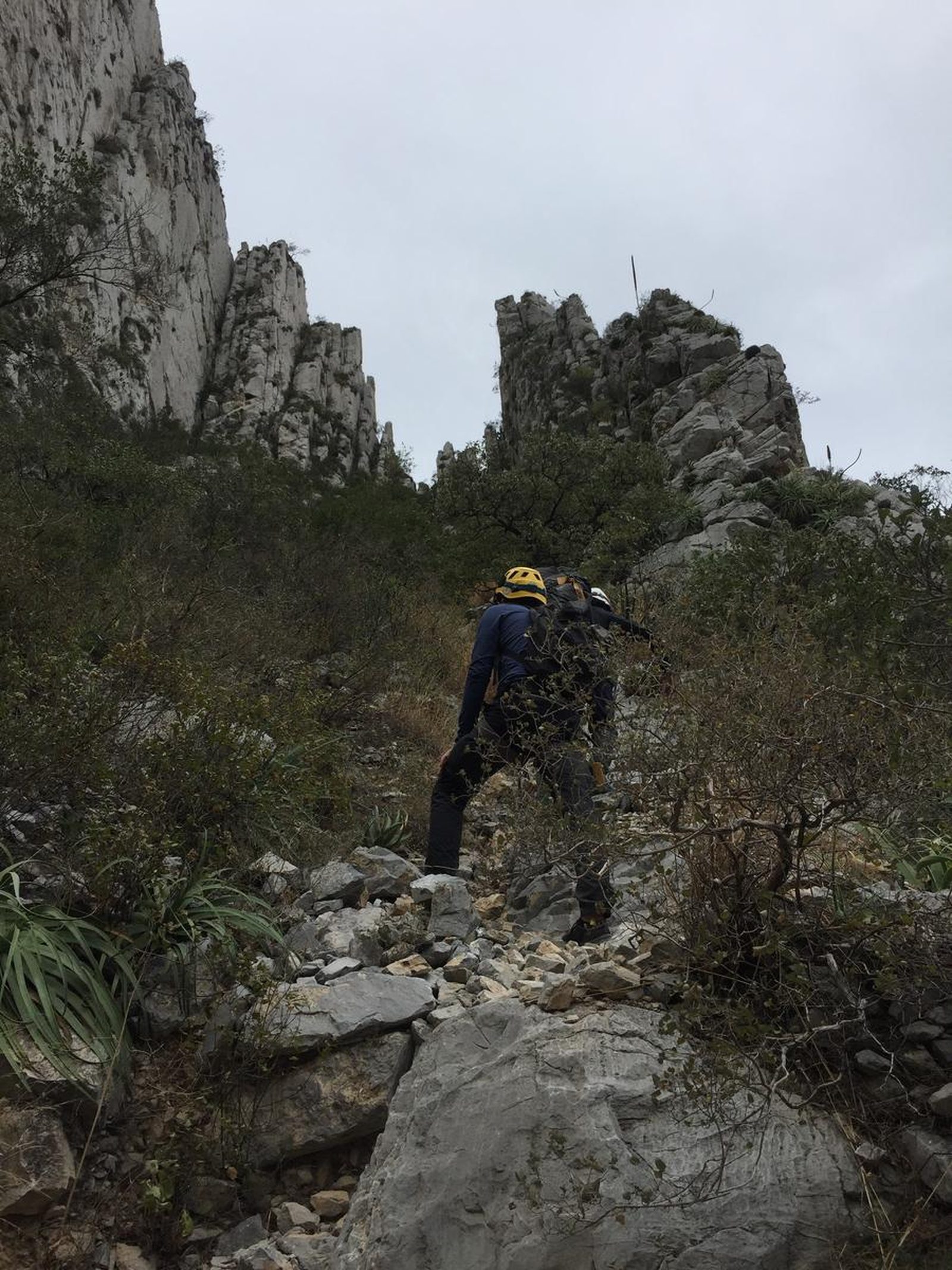
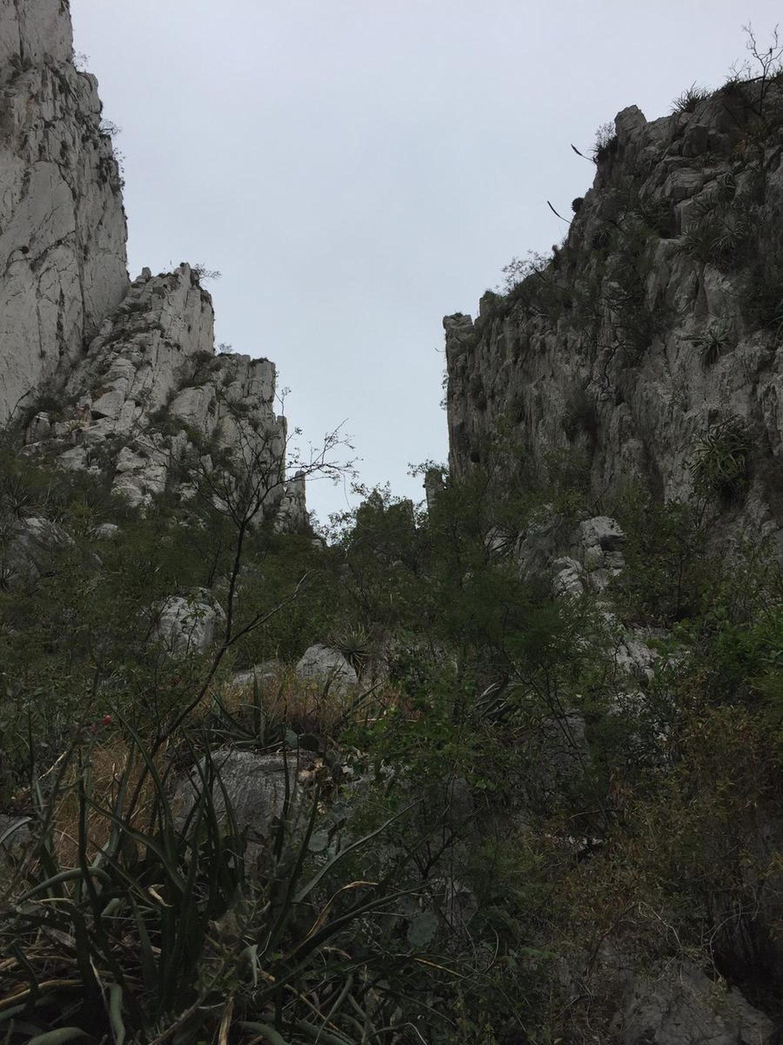
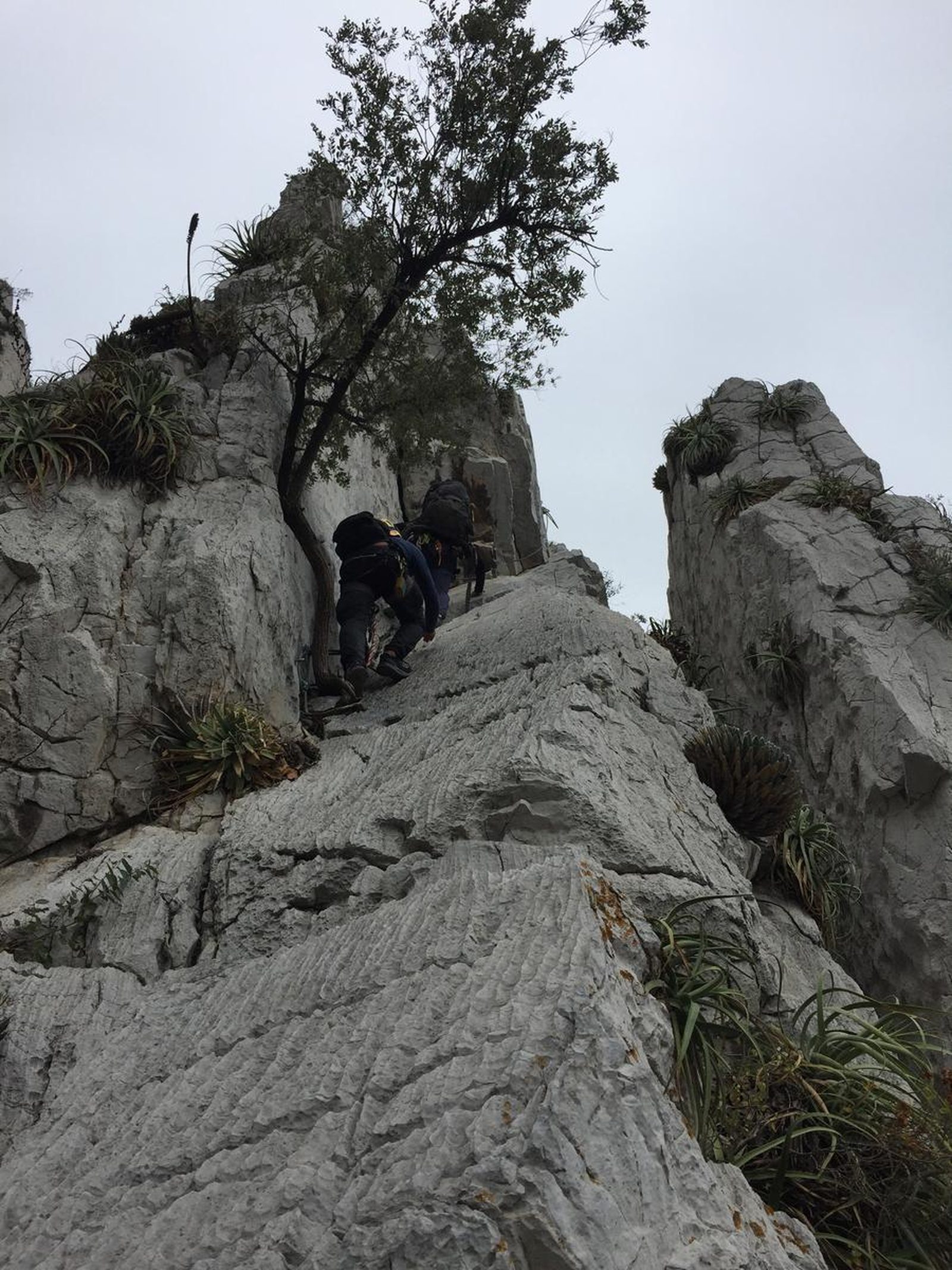
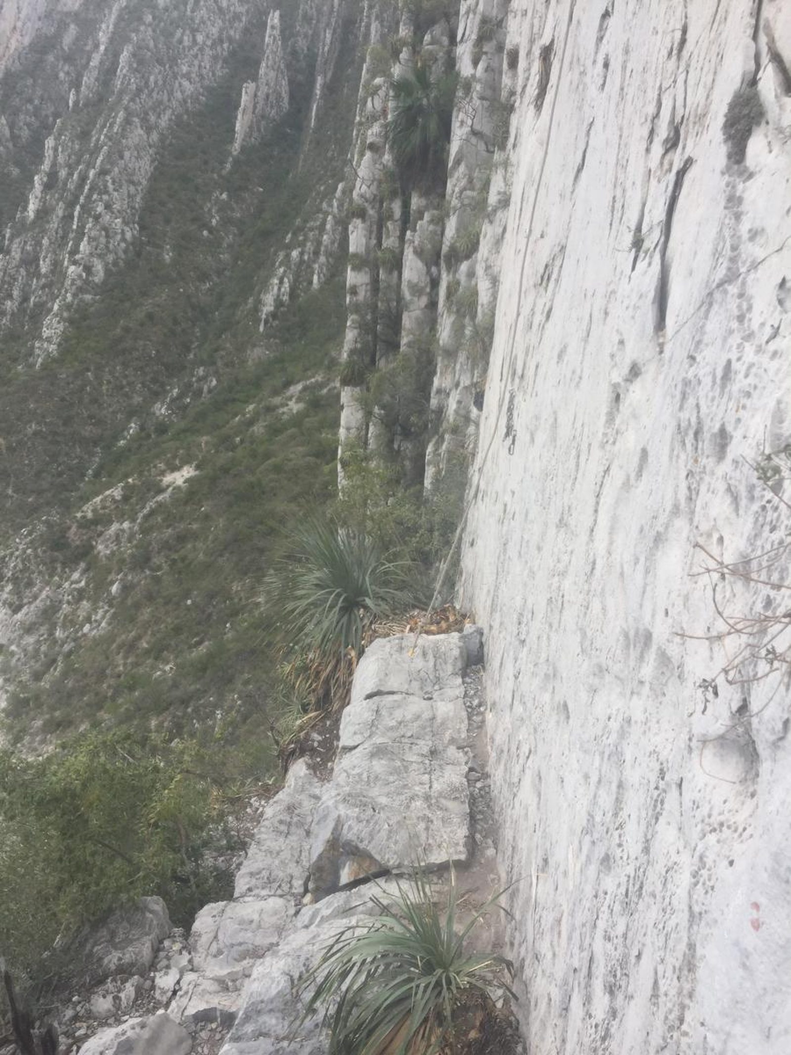
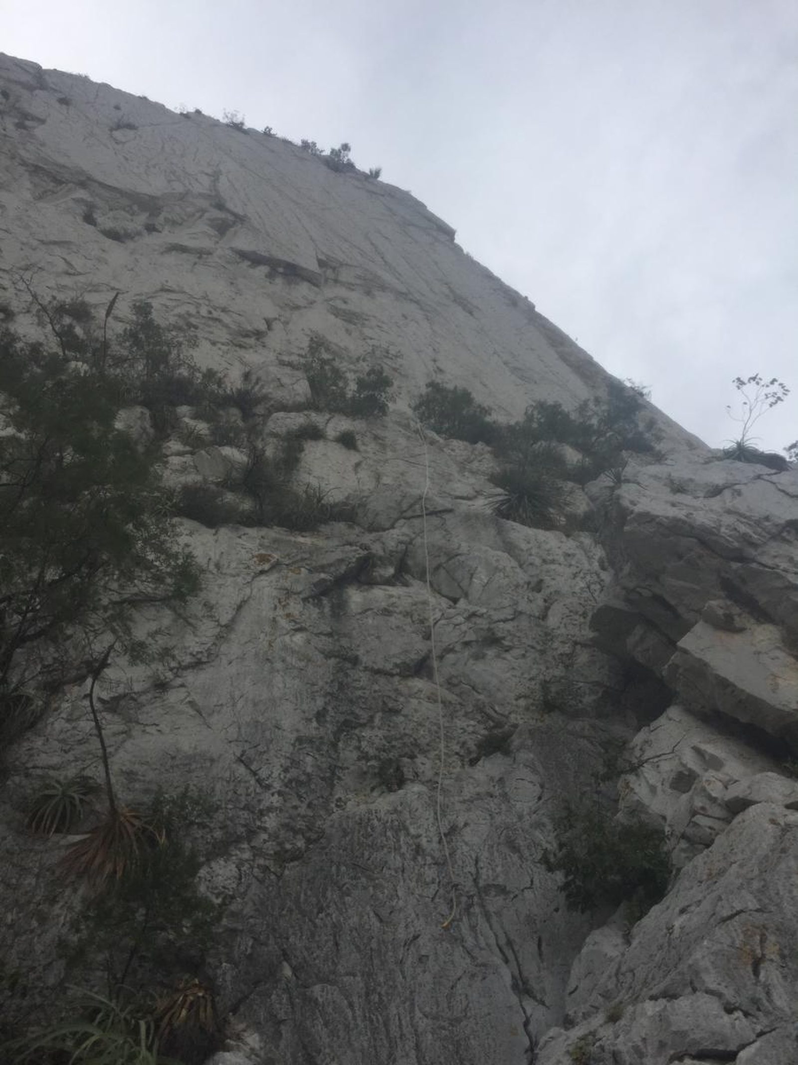
Pico Licos is located inside La Huasteca Park, being one of the main welcome axes when entering the park, since its characteristic triangular shape full of palm trees will not go unnoticed. It is located right at the entrance of the park next to the booth and on the side of the “Cazuelas” climbing area.
Parking Information
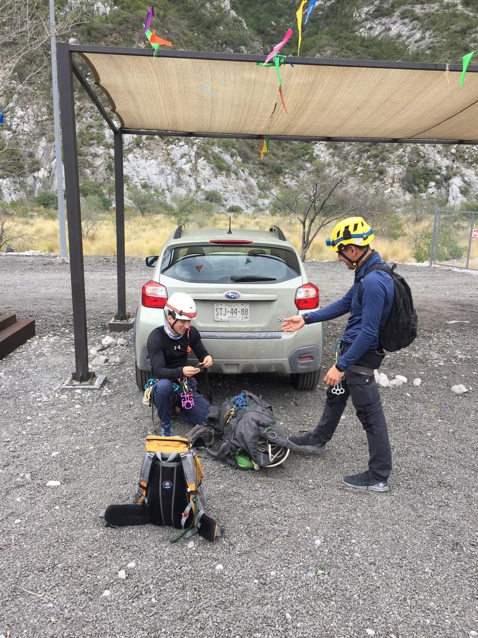
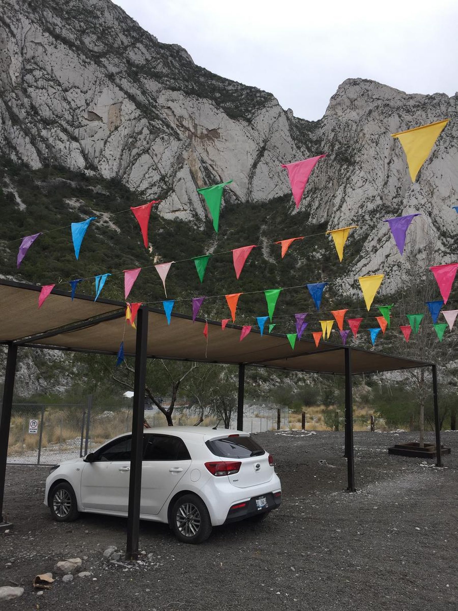
The main parking lot for this route is located next to the entrance to La Huasteca Park, it's free and the easiest way to locate it is to see the covered parking lot in front of the corn being sold.
Fees & Park Hours
The completion of this route does not involve any additional cost
Trail Overview
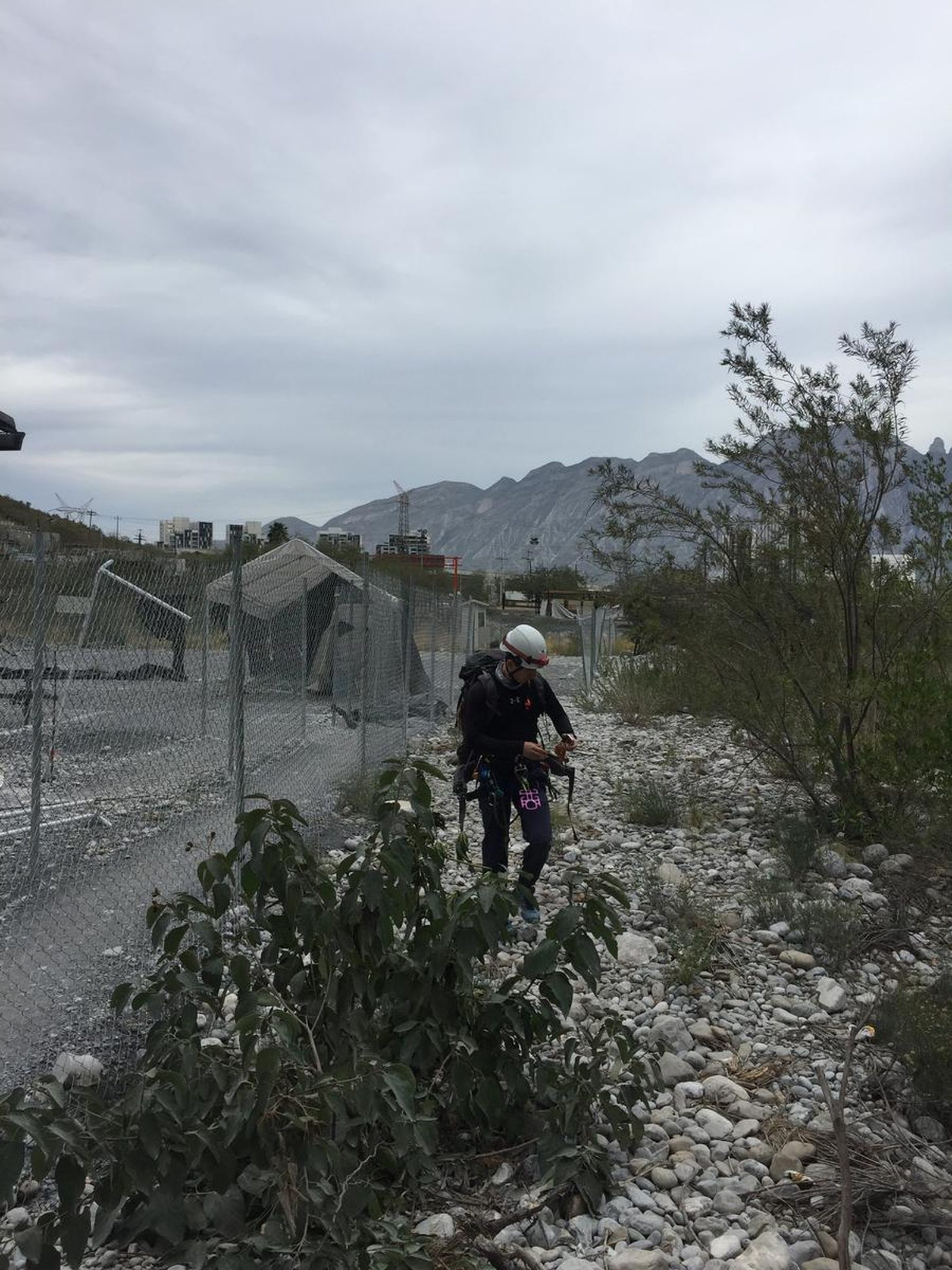
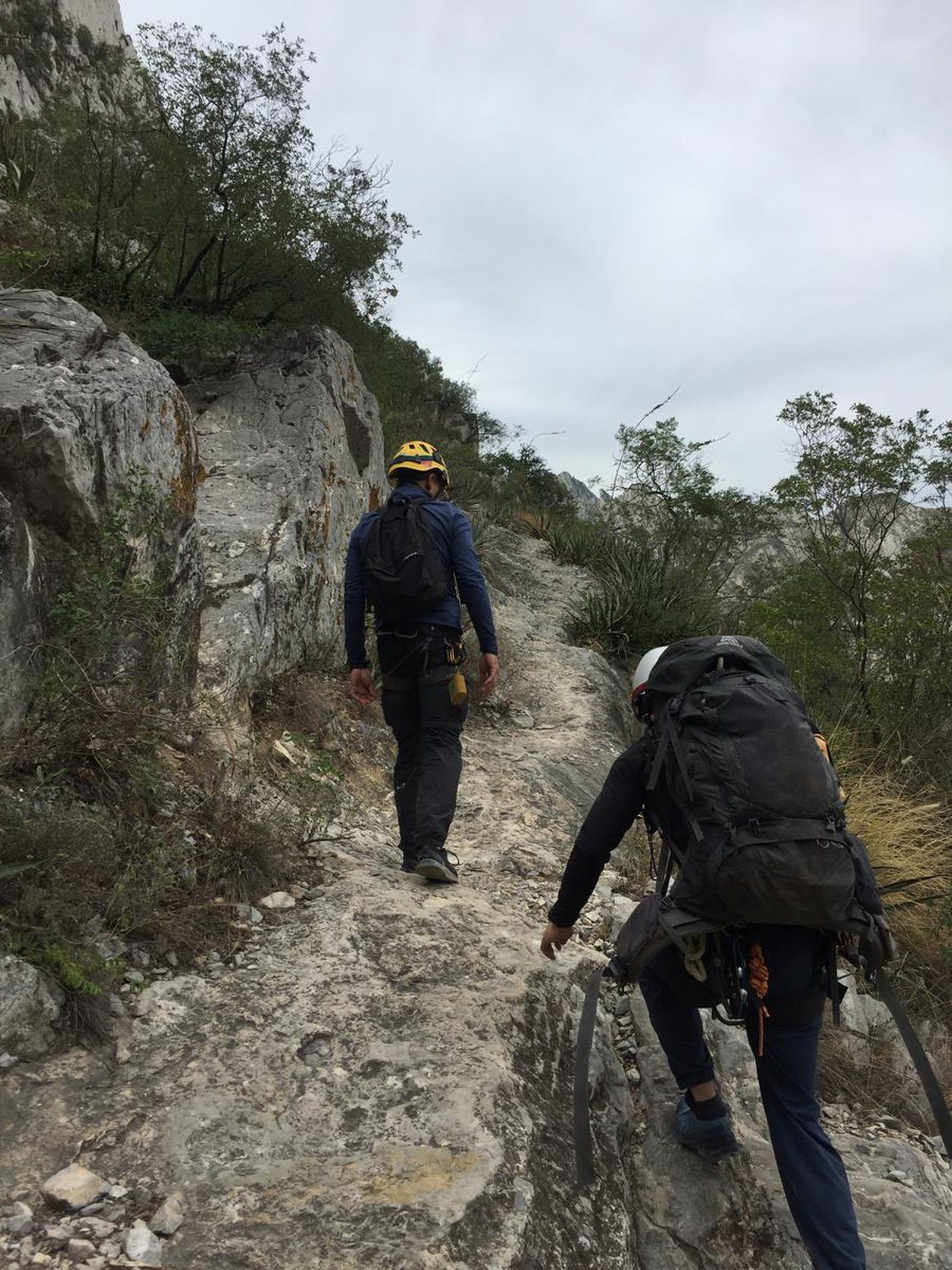
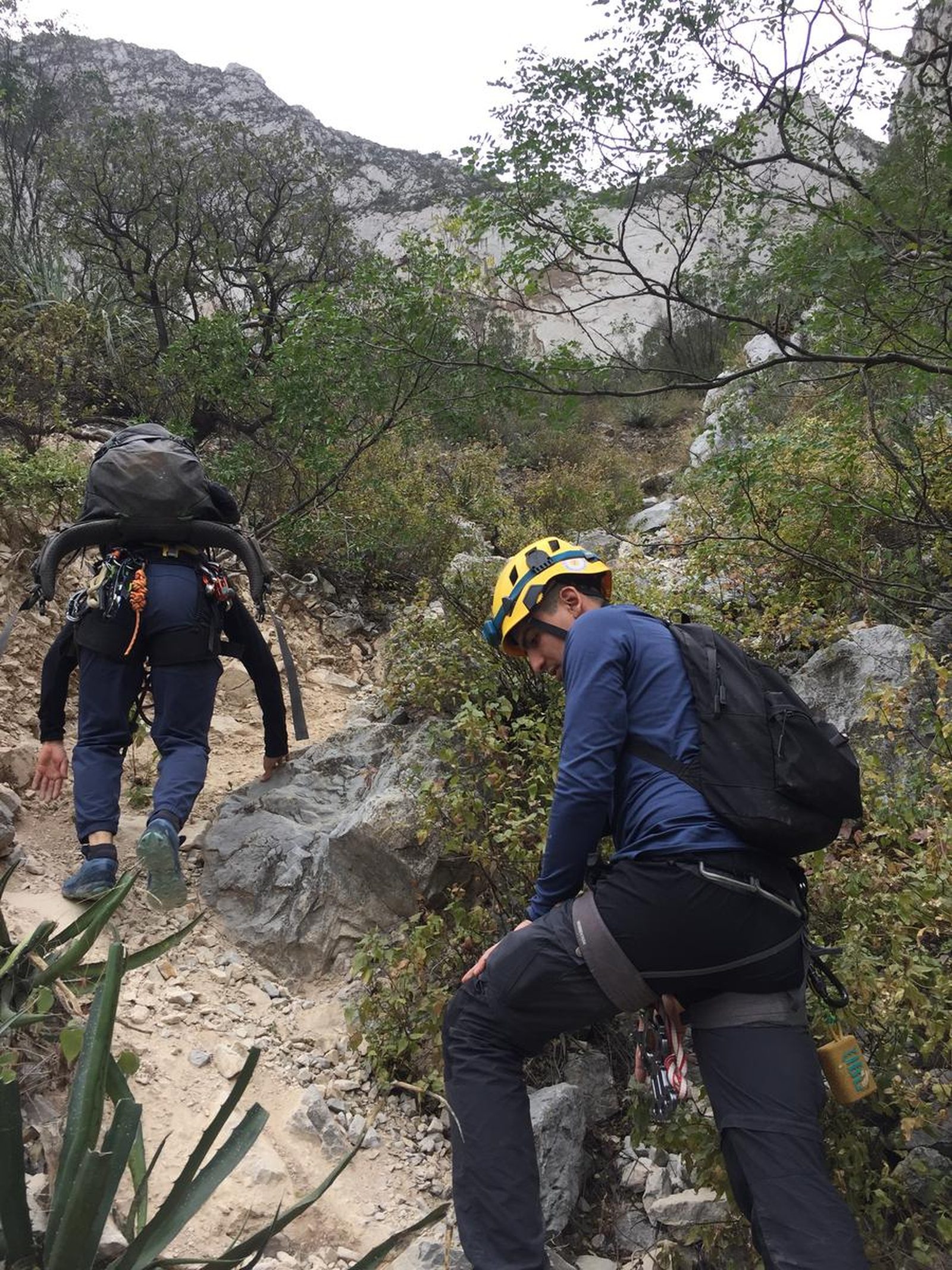
The route is marked, however, in several sections there are alternate paths, possibly created by animals or visitors who got confused on their way; the suggestion is to be aware of the GPS to always stay on the trail and avoid accidents.
Recommended Gear
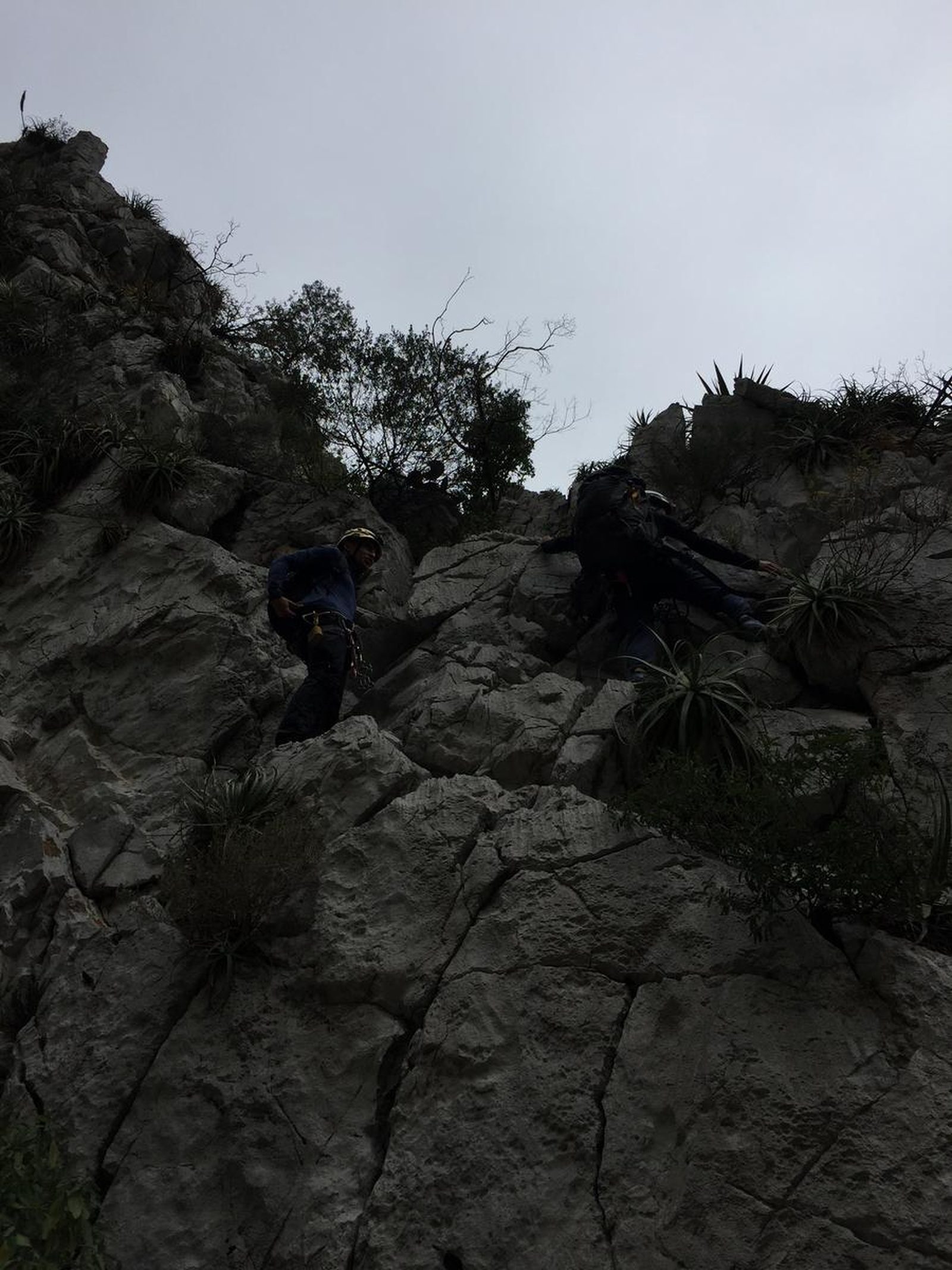
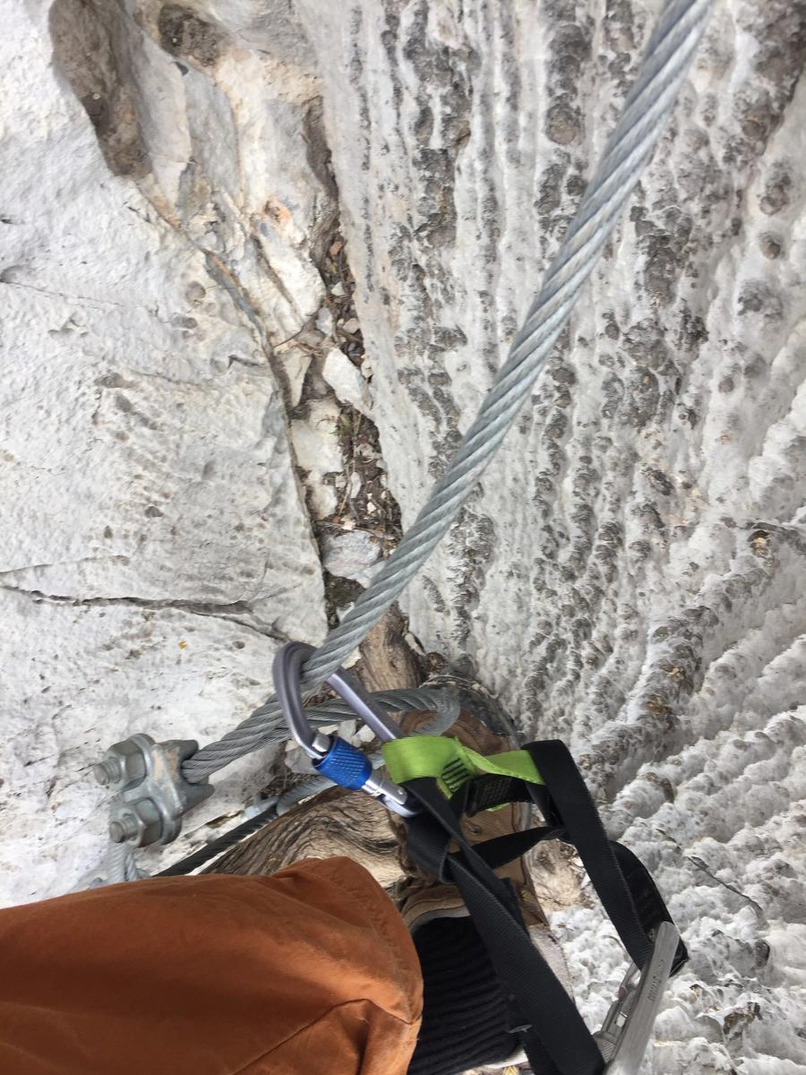
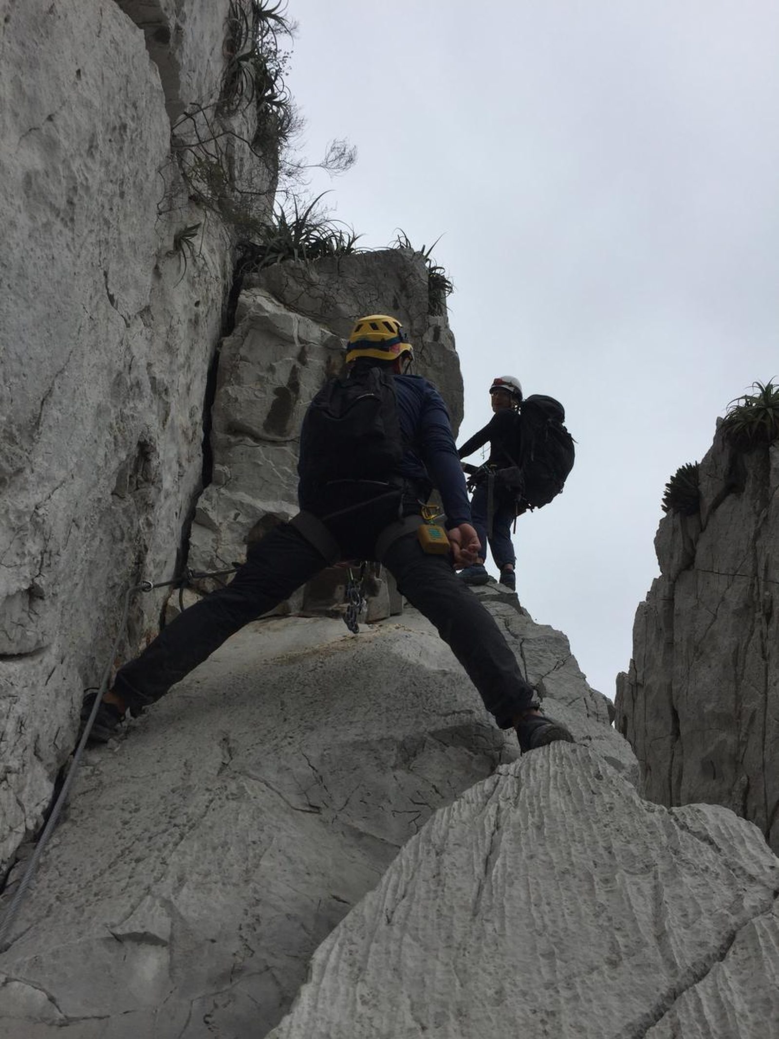
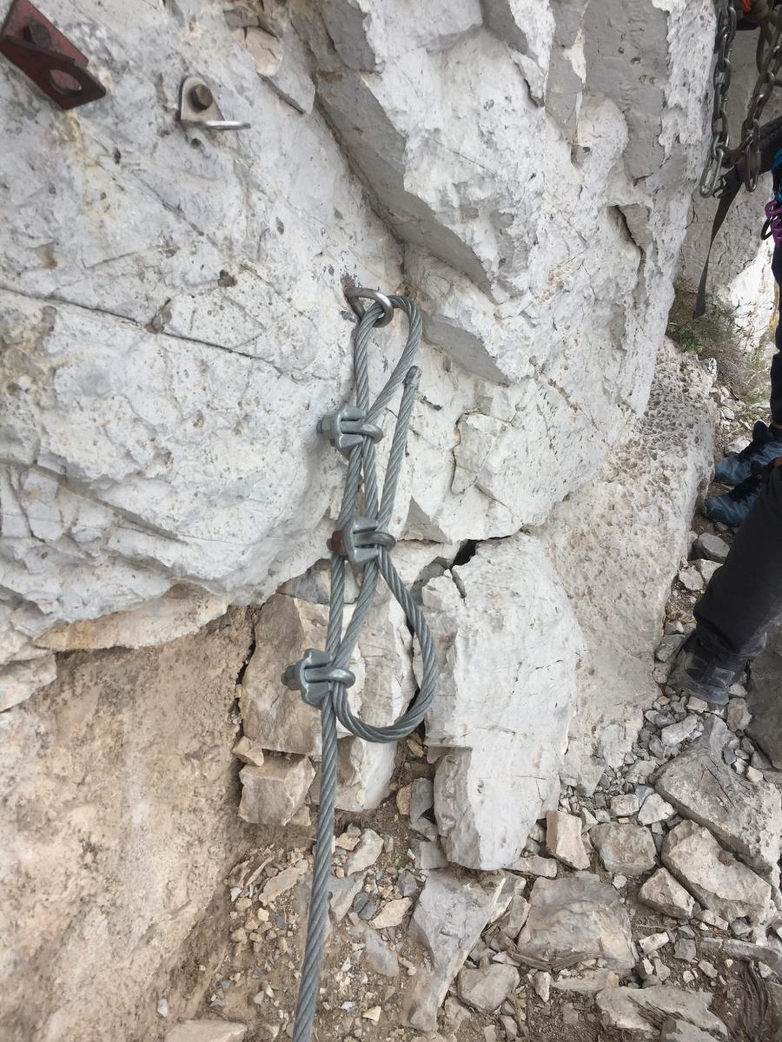
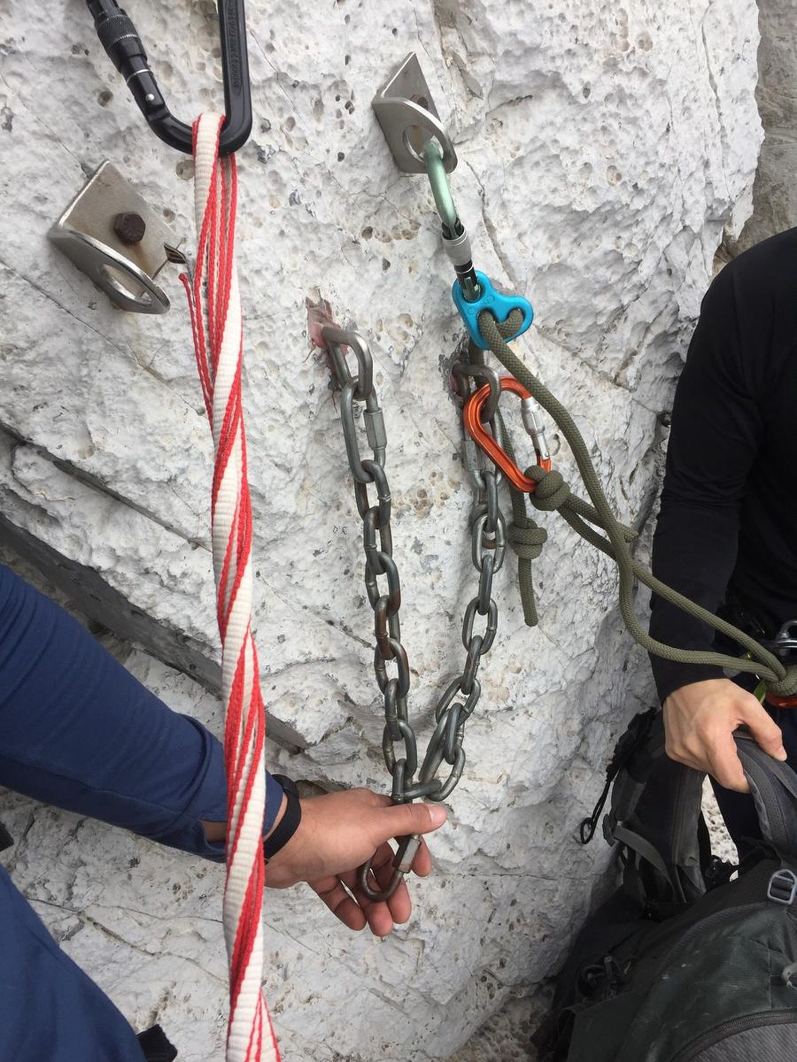
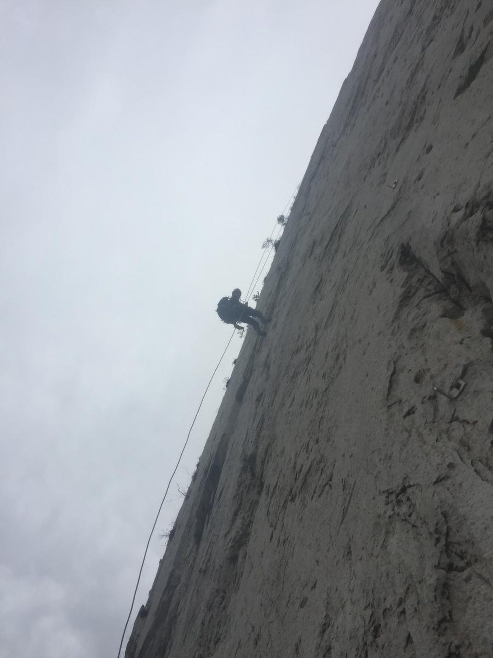
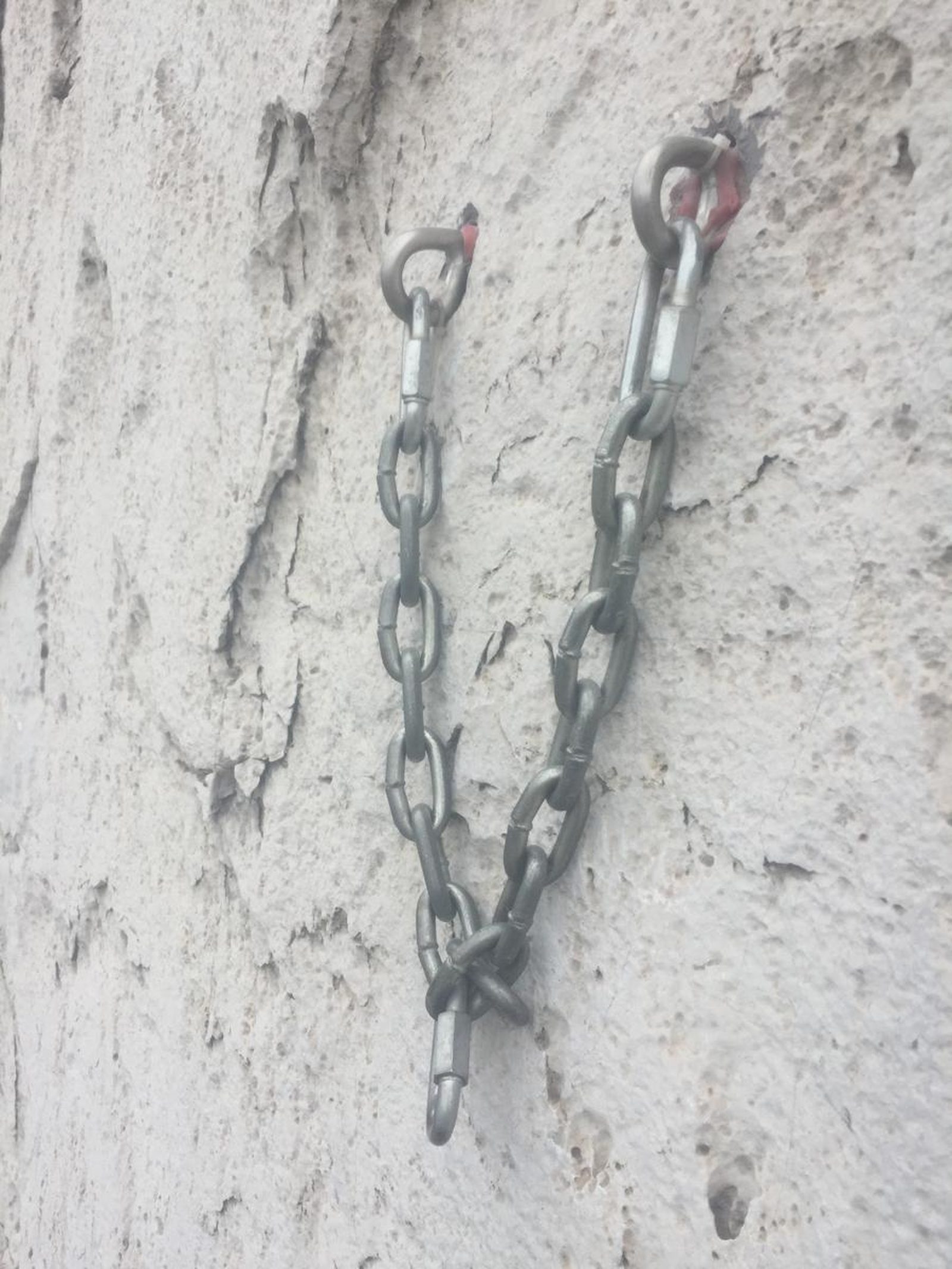
Pico Licos is one of the most technical routes in the La Huasteca Ecological Park, so for its completion it is necessary to have special equipment to be protected, safe and enjoy it more. - Helmet - Harness - Lifeline - 5 carabiners per person - Lowering system - Rope of at least 100 meters or, failing that, 2 strings of 70 meters. Recommended but not required equipment - Prusik or fist - Piranha or eight for rescue maneuvers in a meeting.
What to Expect on the Trail
i
Elevation Gain
128 m
Total Distance (Out & back)
1.03 km
Total Time
1 h
Max Elevation
808 m a.s.l.
According to our nomenclature, this route is classified with a level of physical difficulty of grade “1”, which makes it a route with little slope, of approximately 128 meters that can be between 2-3 hours on average, depending on the pace of the group.


