
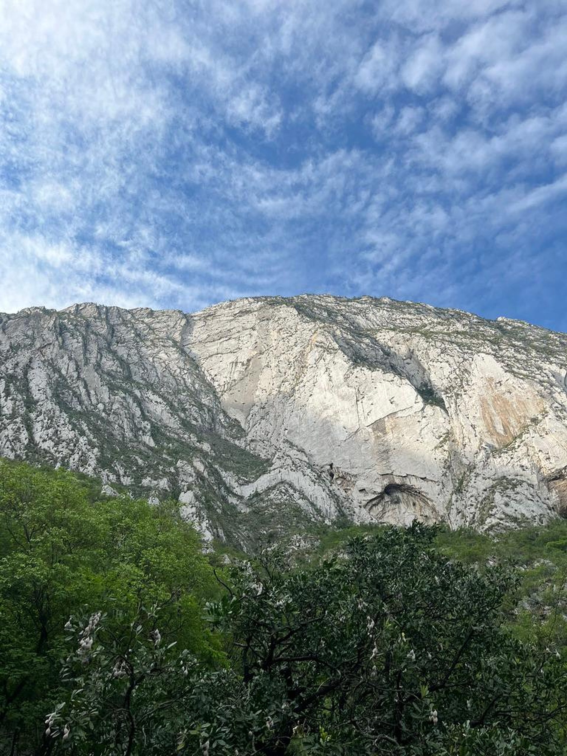
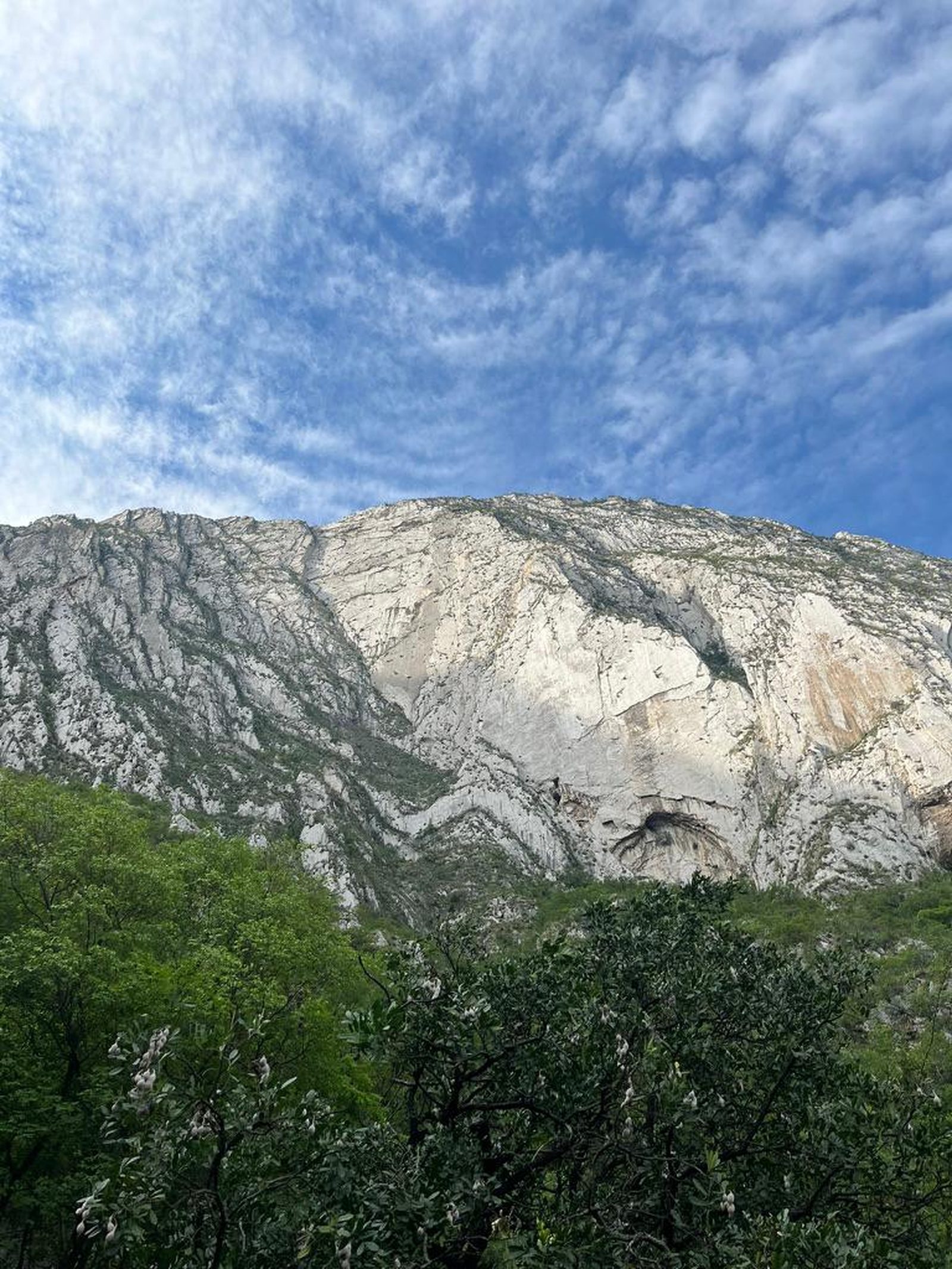
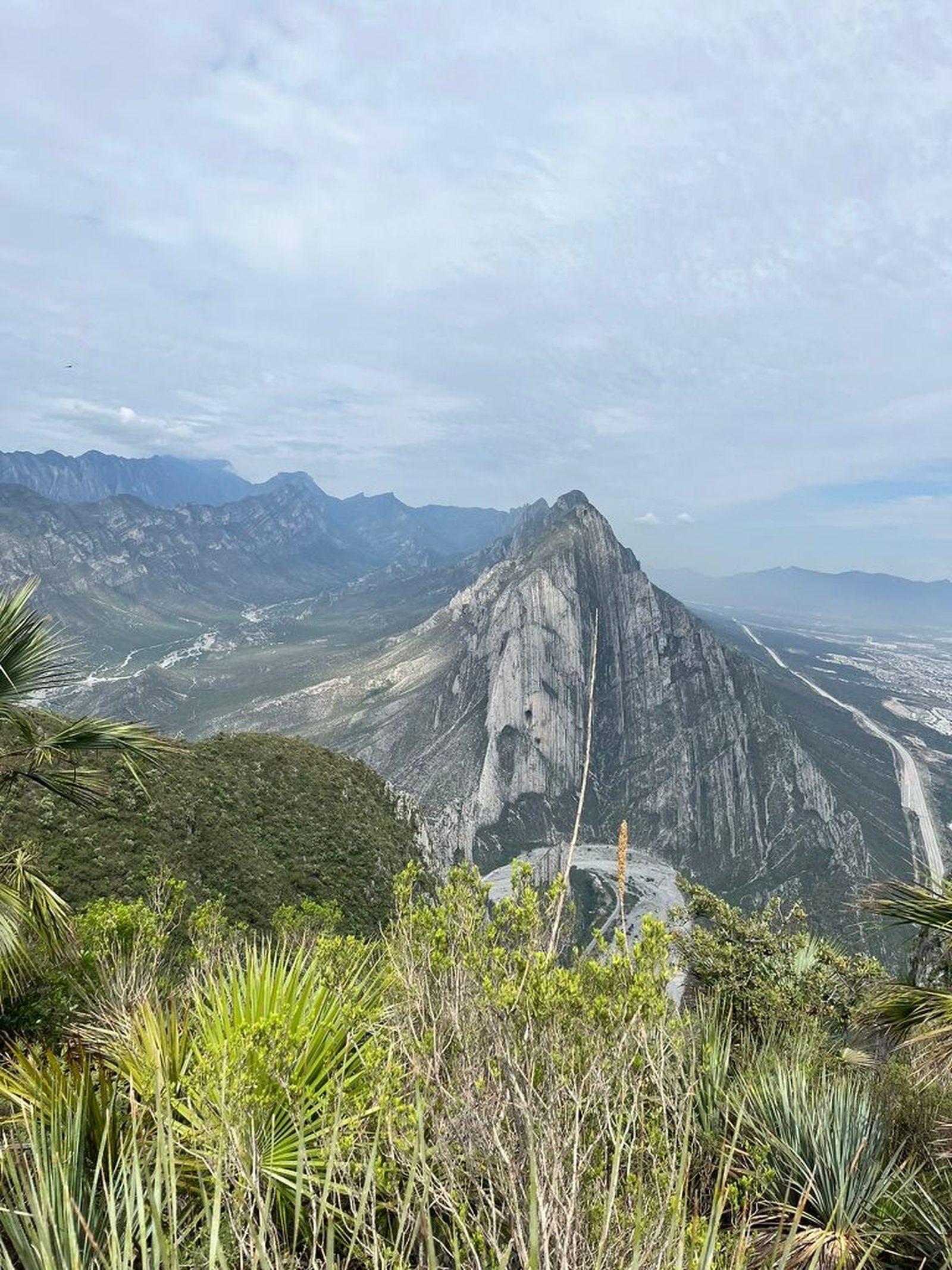
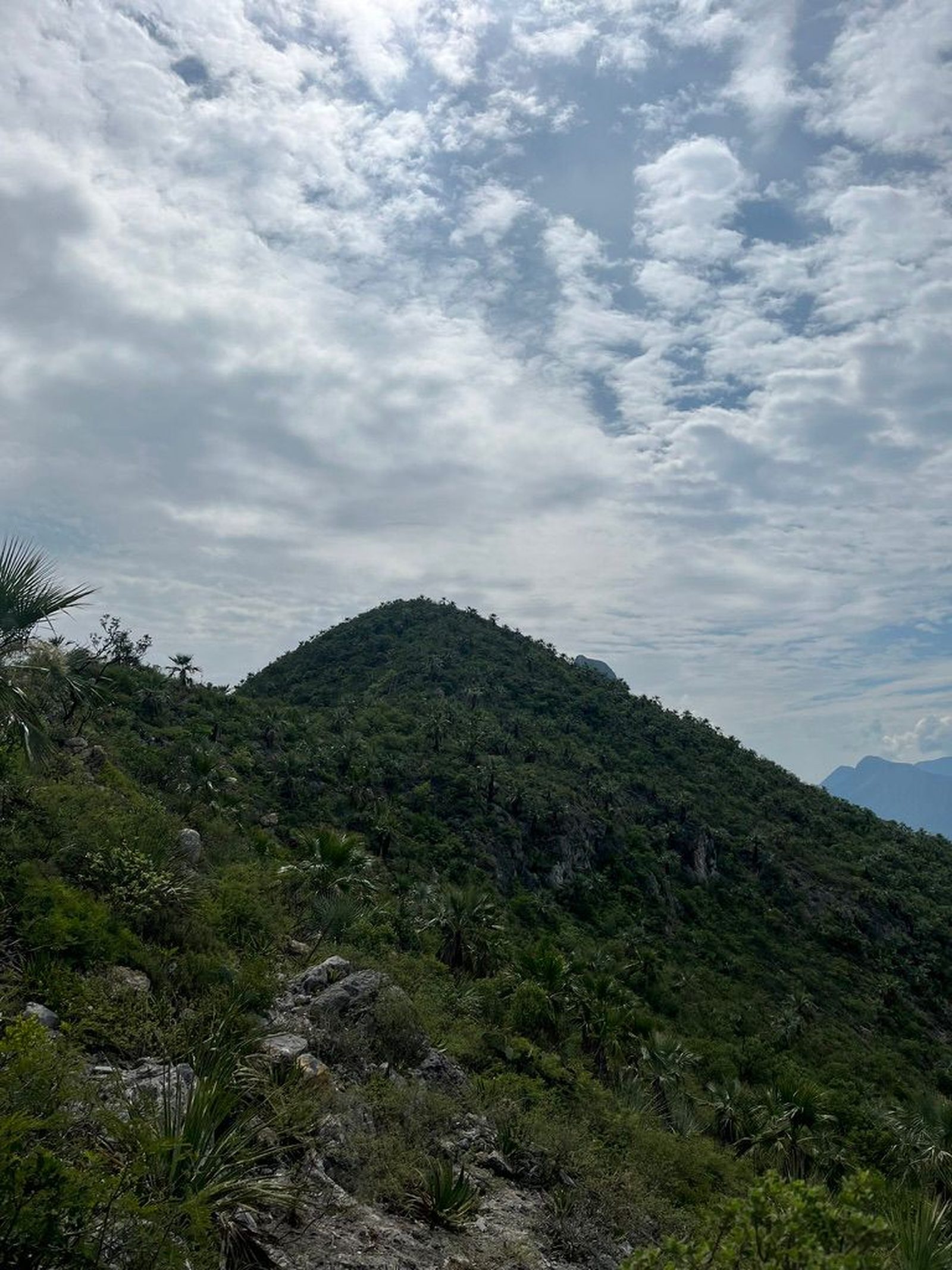
Puerta la Huasteca, Santa Catarina
Parque Ecológico la Huasteca
Zone: La Huasteca guide
- Elevation gain
- 2297 ft
- Distance
- 2.2 mi
- Time
- 1 h 56 m
- Altitude
- 4537 ft
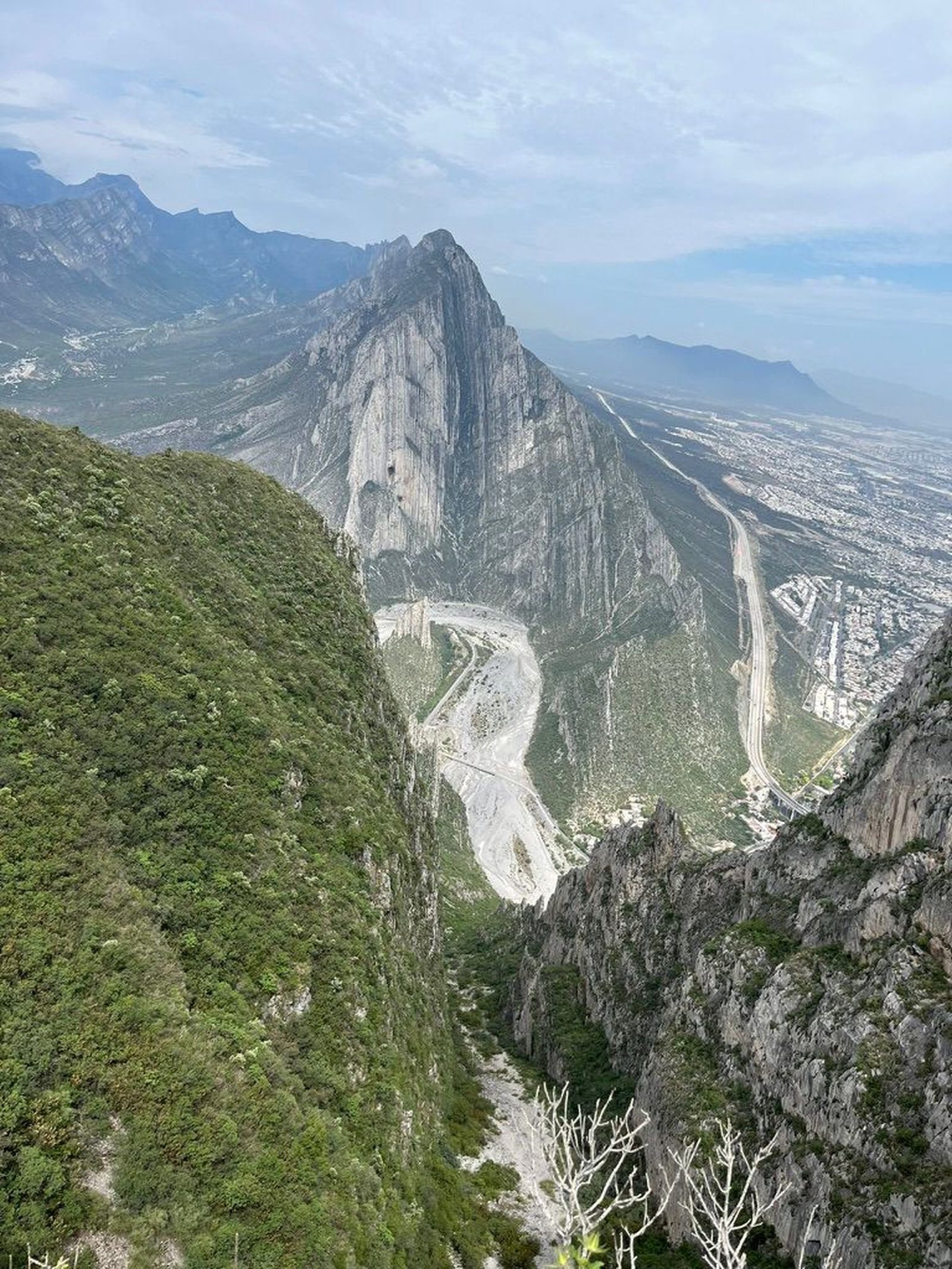
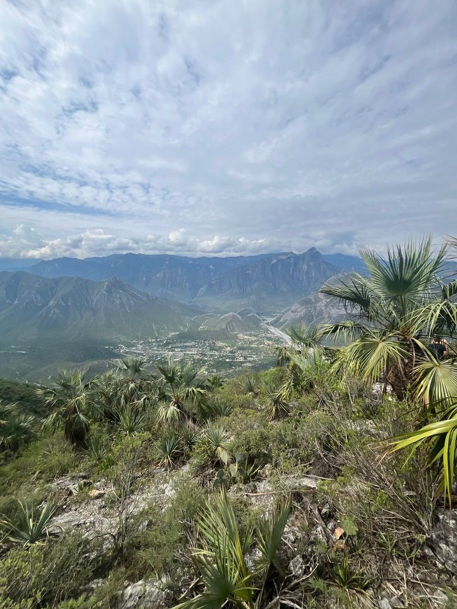
The La Huasteca Ecological Park is part of the Cumbres de Monterrey National Park.
📢 Alerts & Updates
This route can be done comfortably in any season of the year. Only avoid in summer seasons
Warnings





Level
i
Packing List
How to get there
Trailhead Access
Departing from downtown Monterrey, head west along Constitution Avenue. At the height of Gonzalitos, head towards Av Gómez Morín and turn west at Morones Prieto. The entrance to La Huasteca Park is just before taking the Highway Viaduct to Saltillo.
Parking Information
The parking lot is located at the entrance of the park.
Fees & Park Hours
No cost
Trail Overview
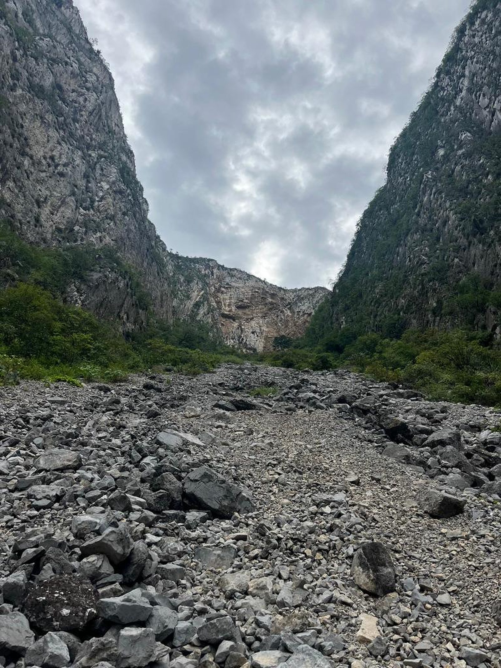
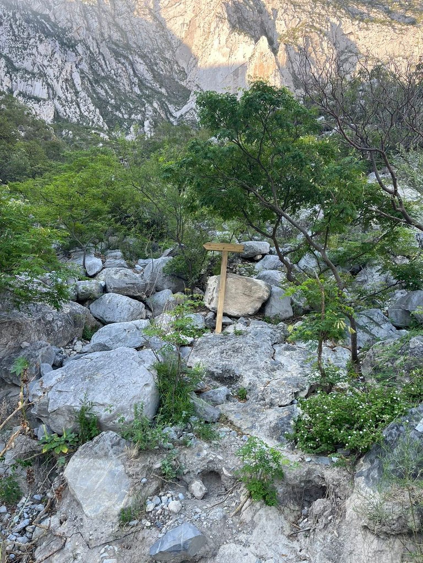
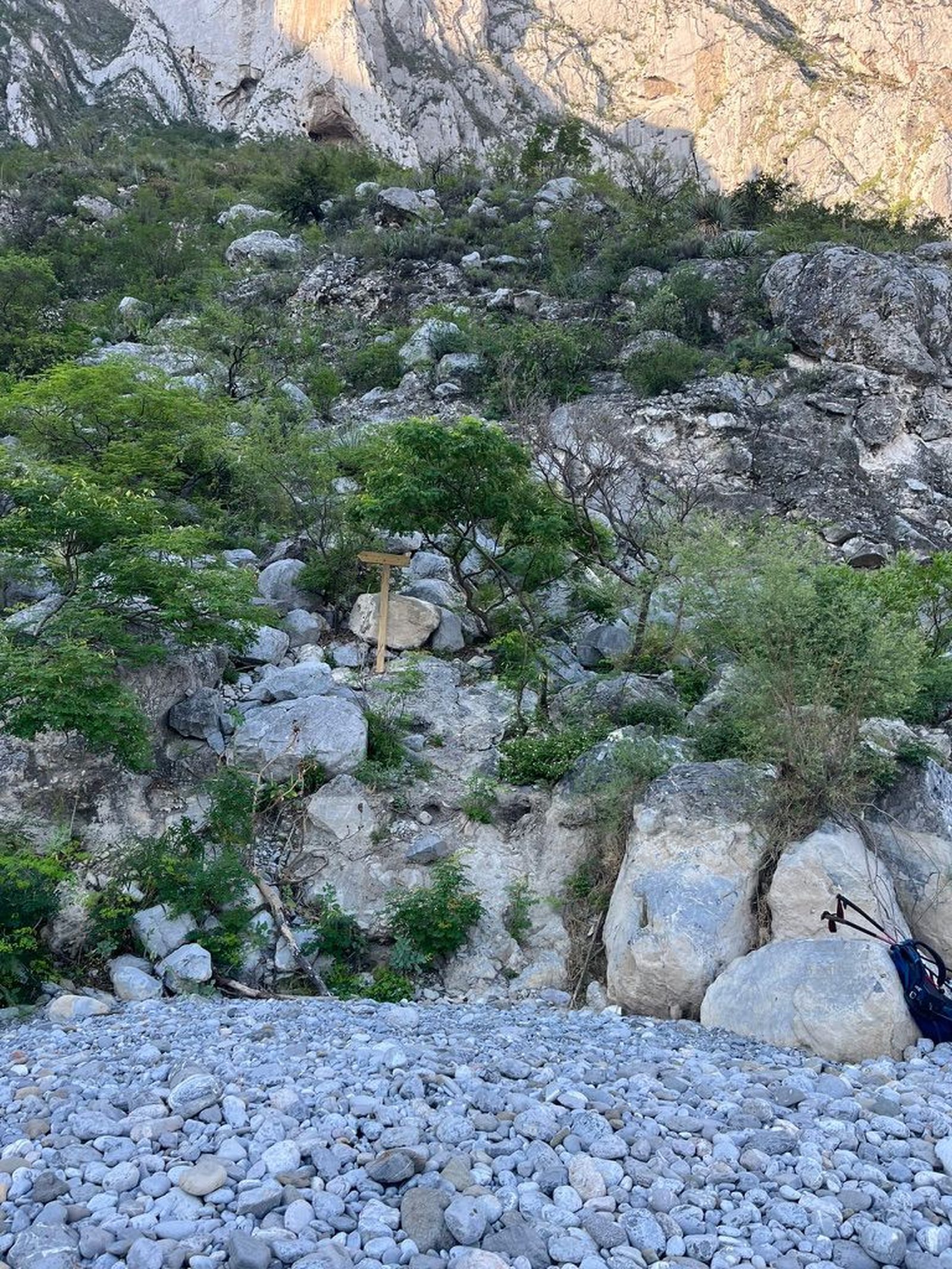
The route is intuitive, as it takes place through a canyon.
Recommended Gear
- Helmet - Hands free lamp (mining type) - External battery (PowerBank) - Sunscreen - First aid kit - Thermal blanket
What to Expect on the Trail
i
Elevation Gain
700 m
Total Distance (Out & back)
3.47 km
Total Time
1 h 56 m
Max Elevation
1383 m a.s.l.
Level 4 (scale from 1 to 10). This route offers us just over 700 m of positive elevation gain (what we will climb on the hill) in just under 2 km, making it a route with a considerable slope. It is suitable for hikers with good condition, who have already done routes with similar characteristics.


