
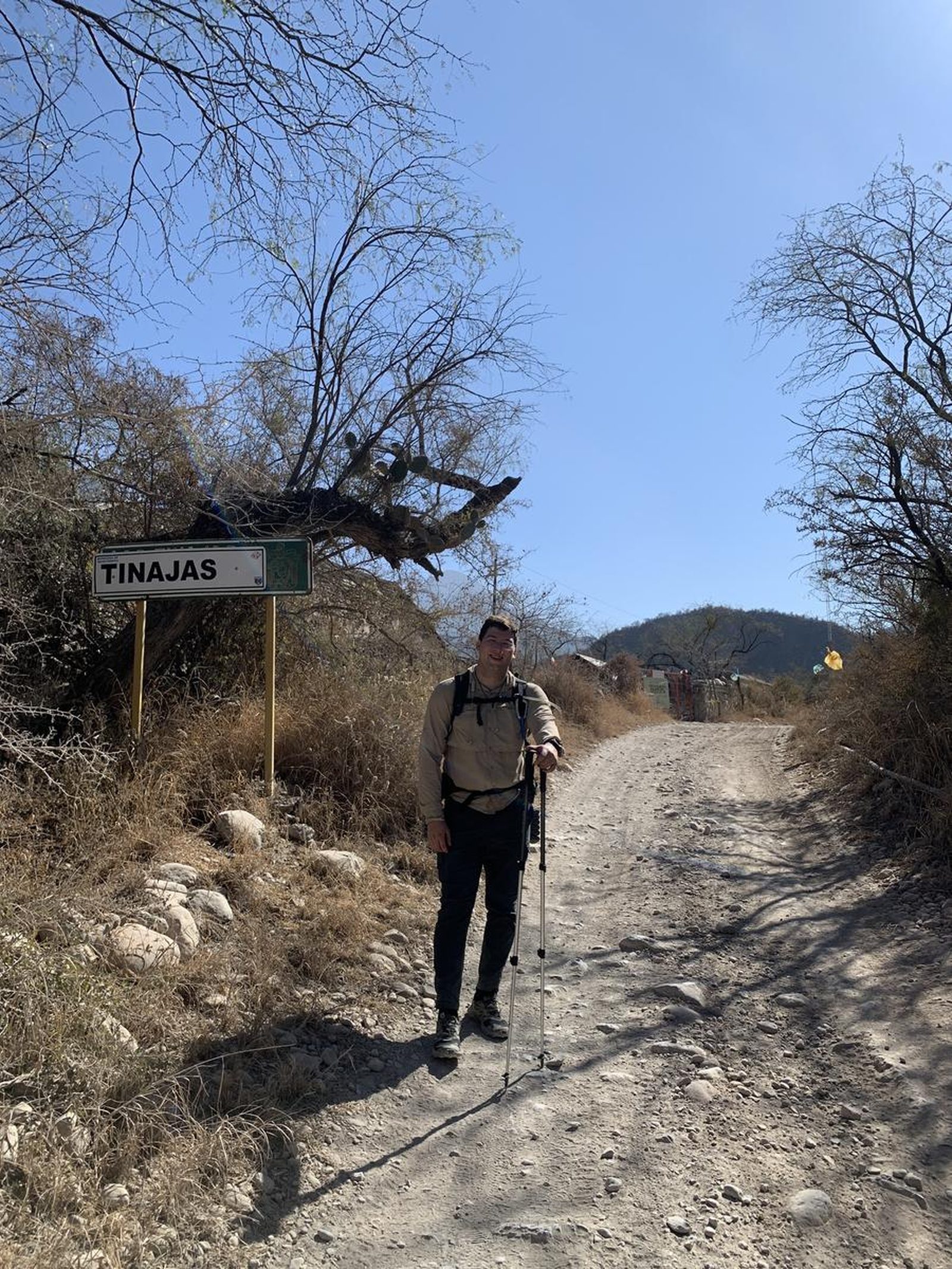

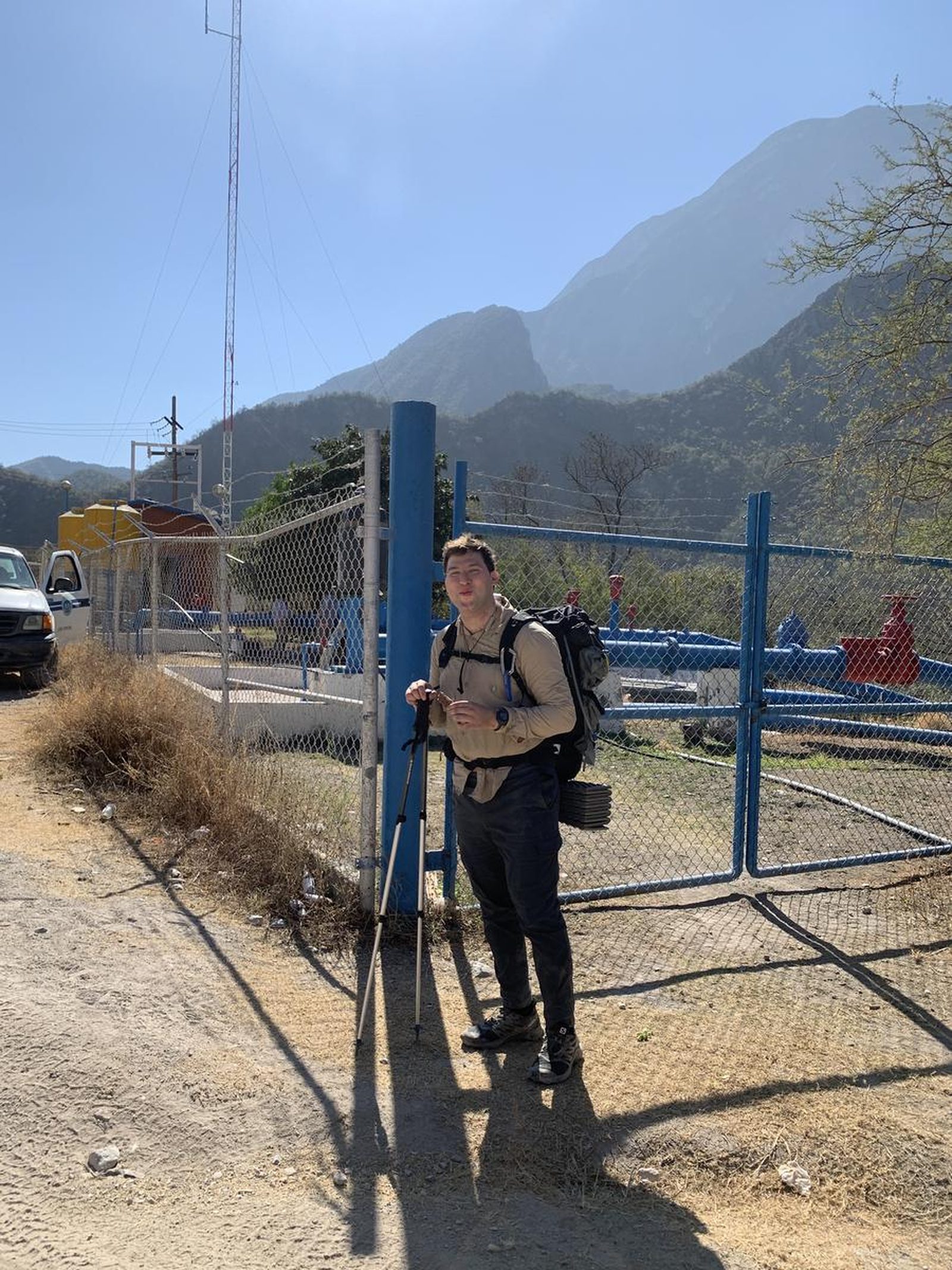

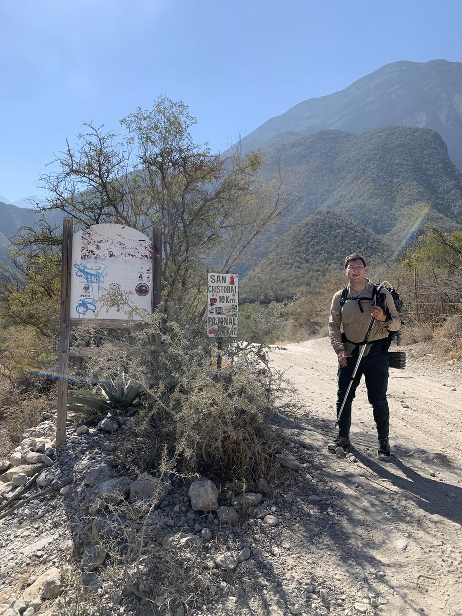
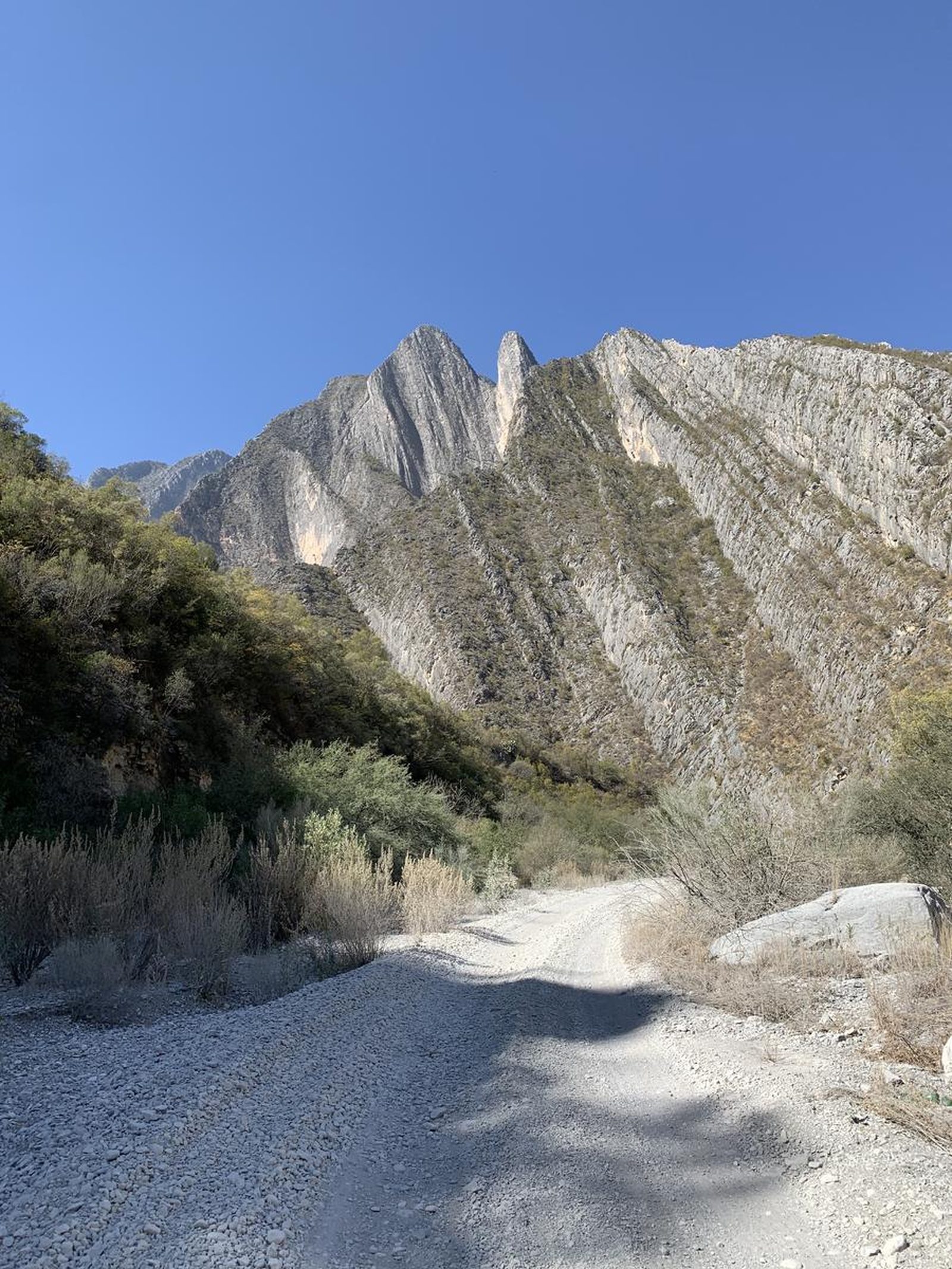
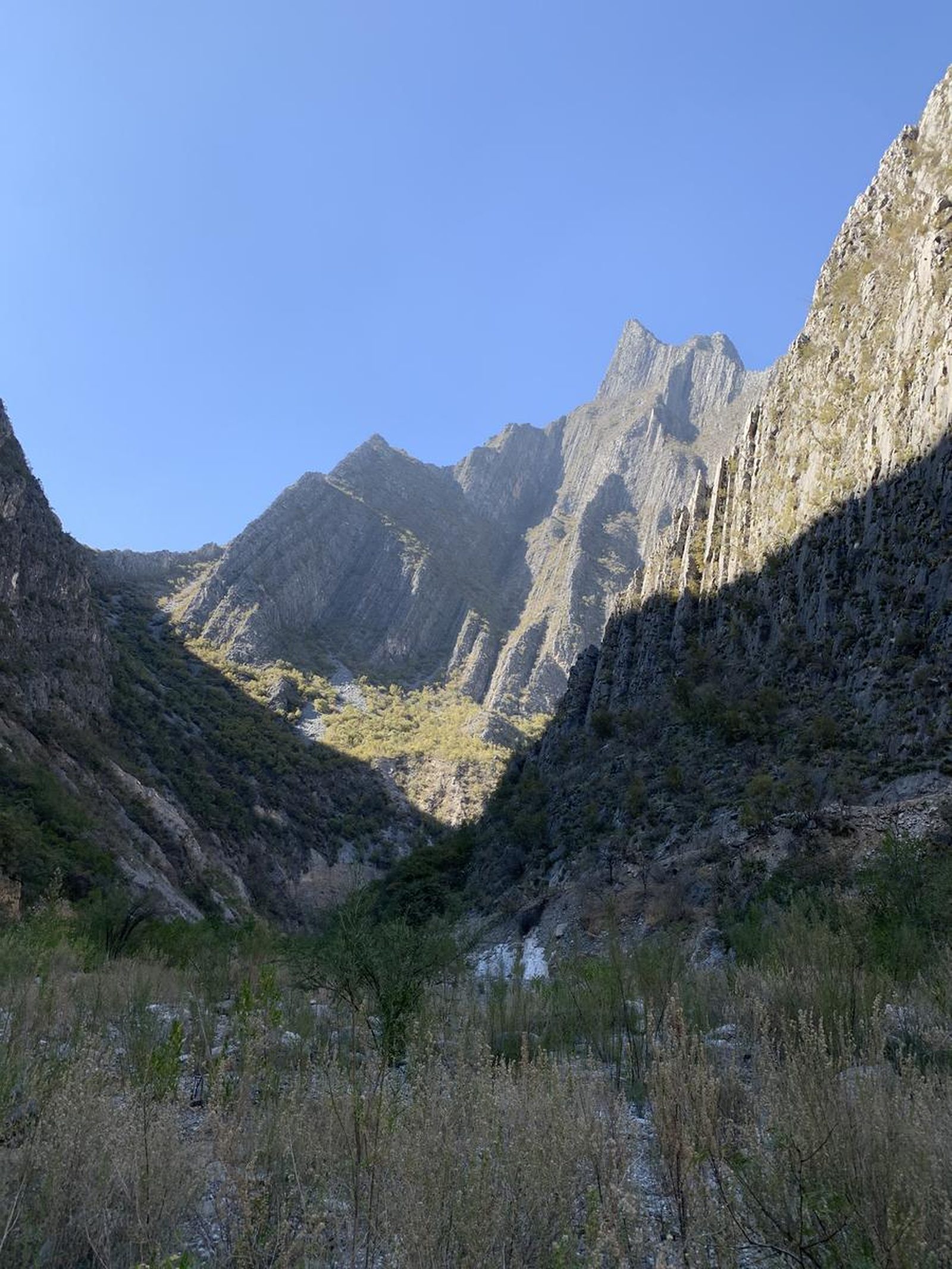
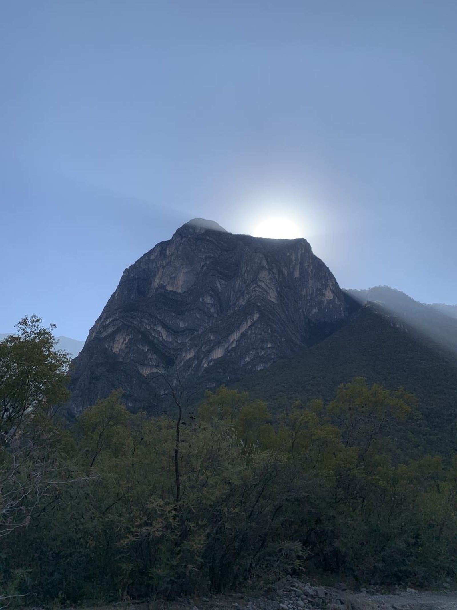
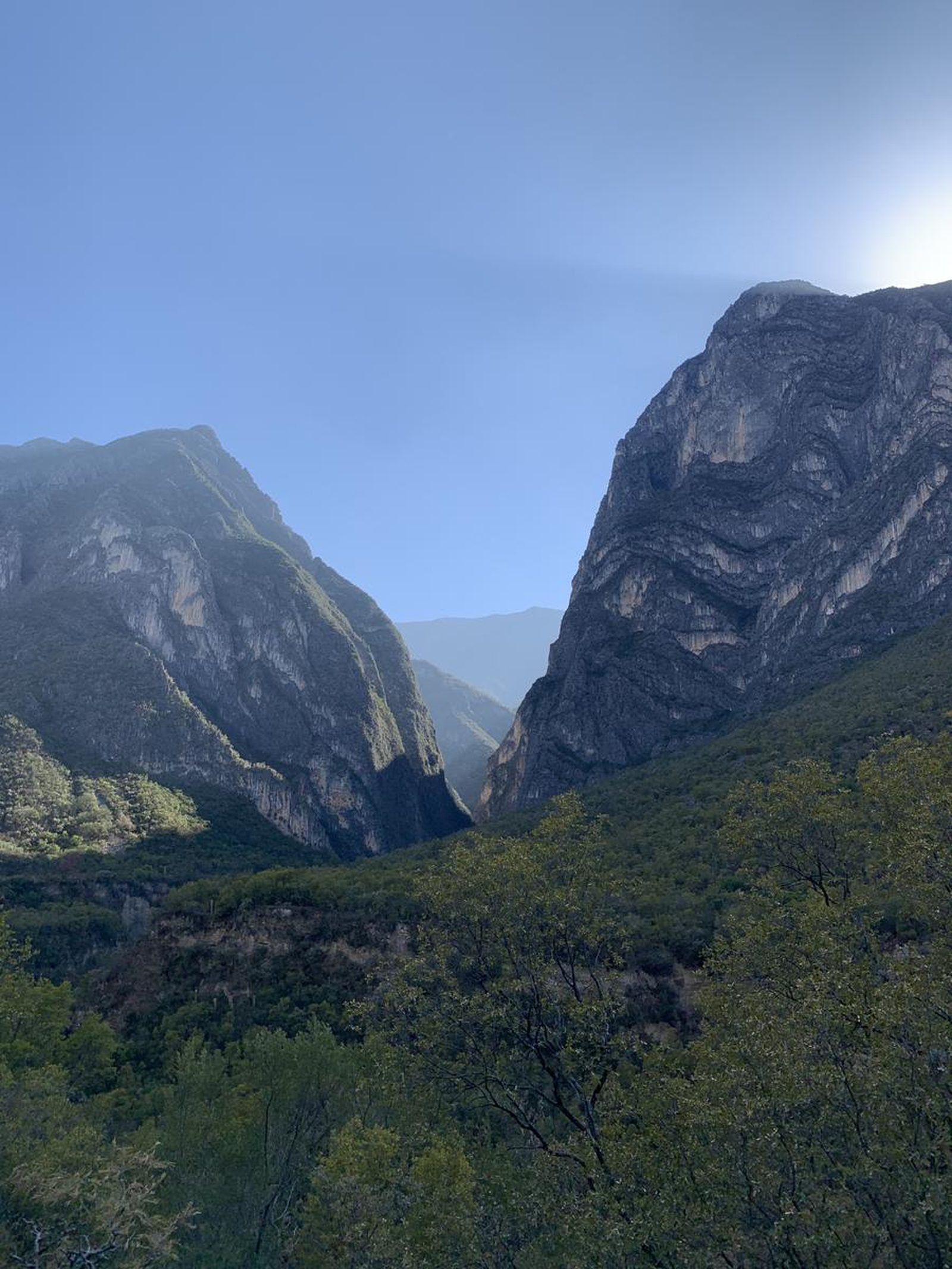
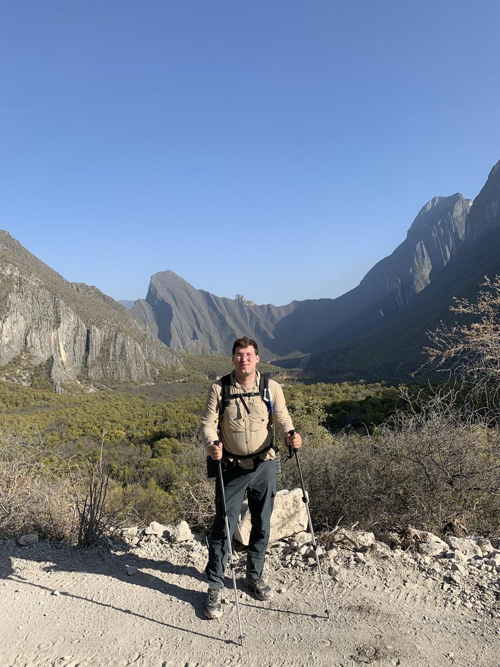
Pajonal, Santa Catarina
Parque Ecológico la Huasteca
Zone: La Huasteca guide
- Elevation gain
- 2149 ft
- Distance
- 14.0 mi
- Time
- 6 h 5 m
- Altitude
- 4882 ft
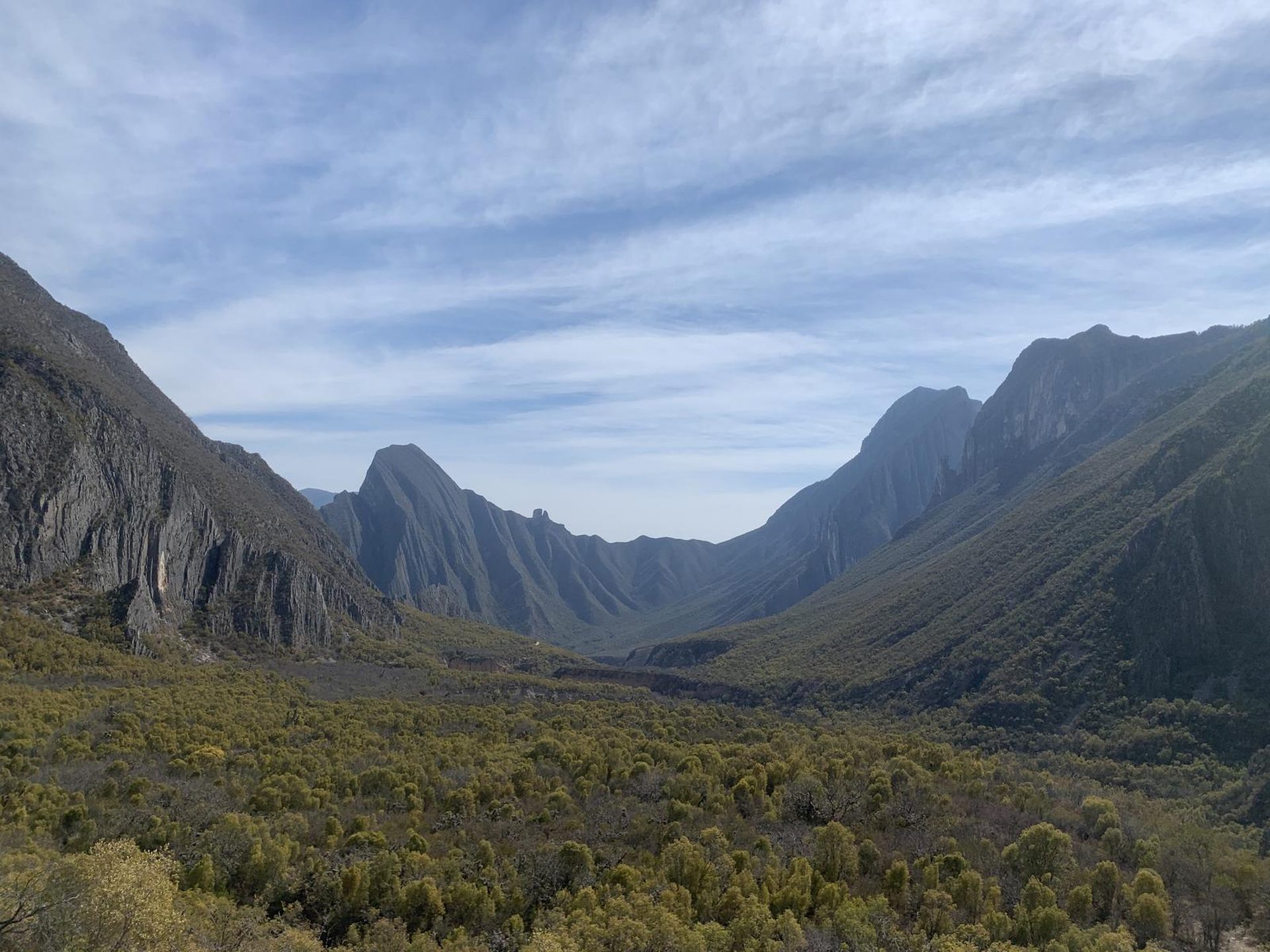
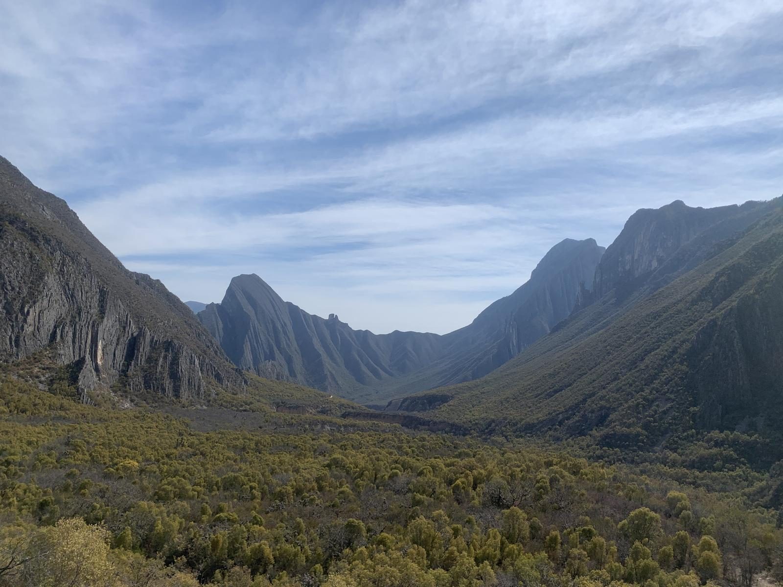
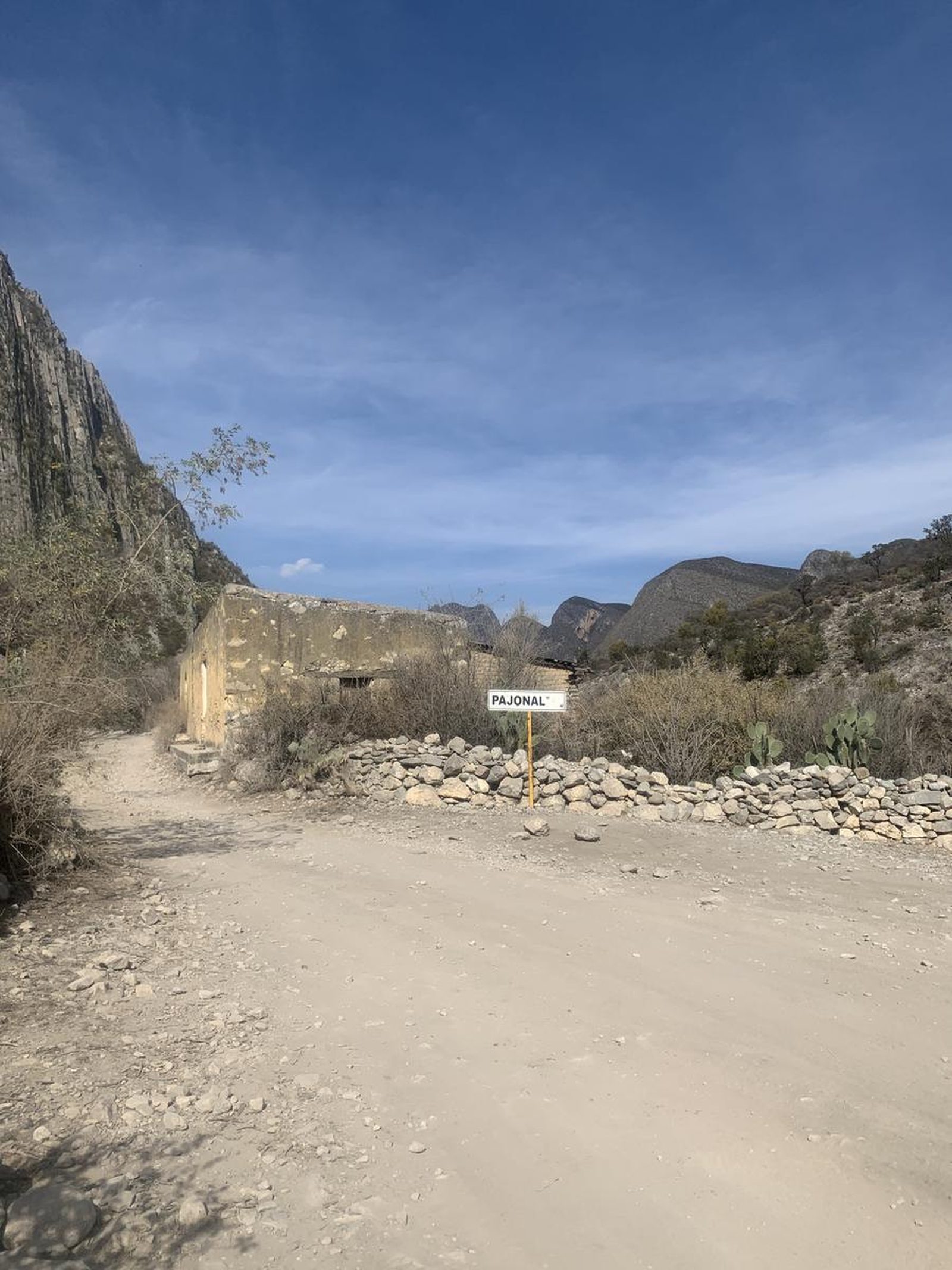
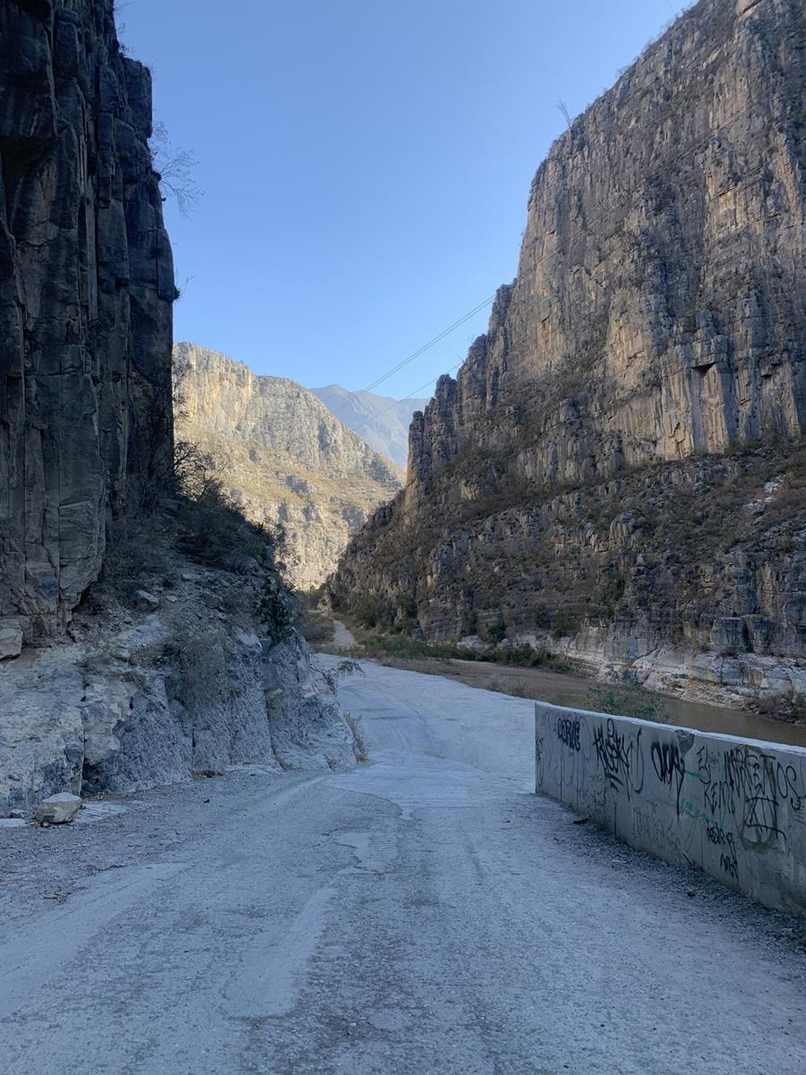
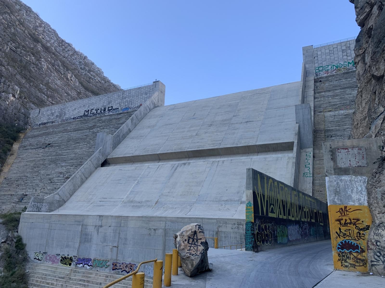
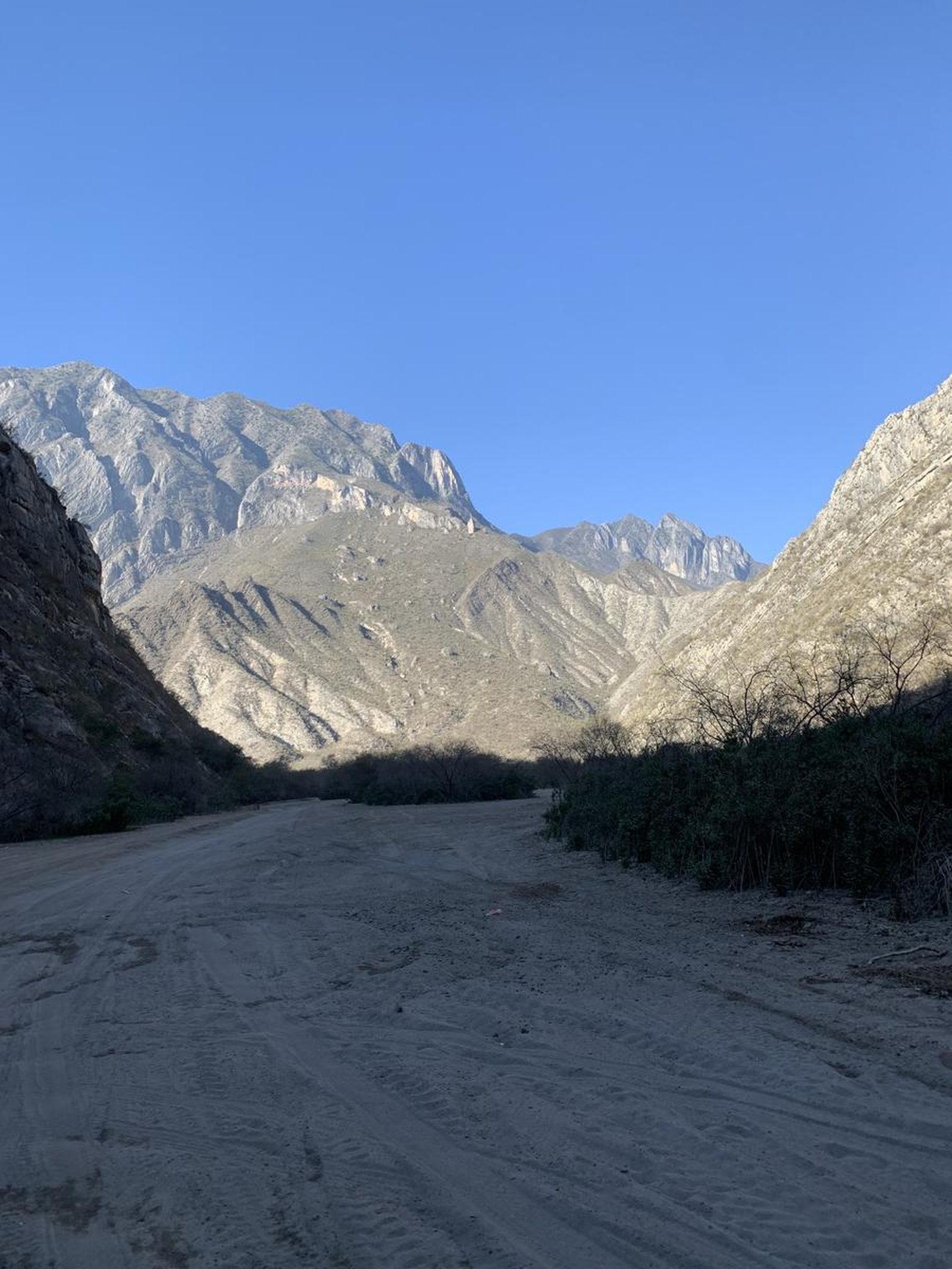
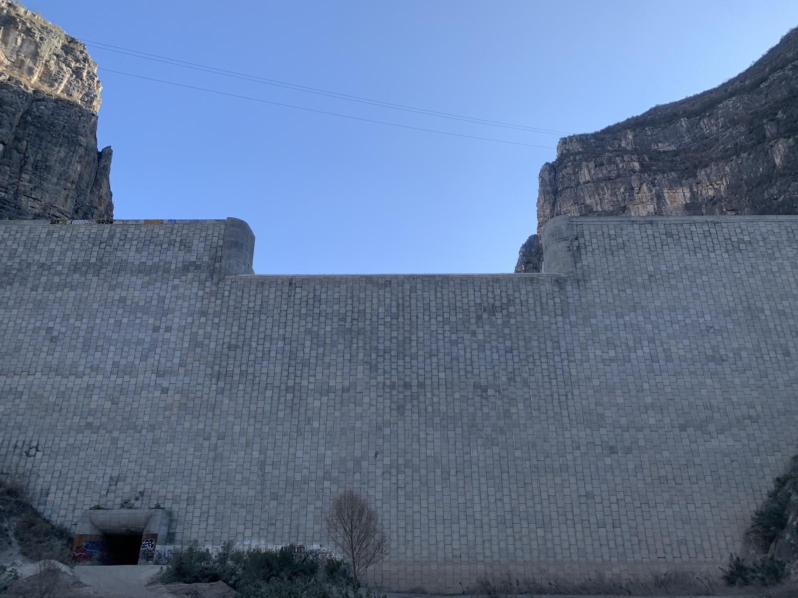
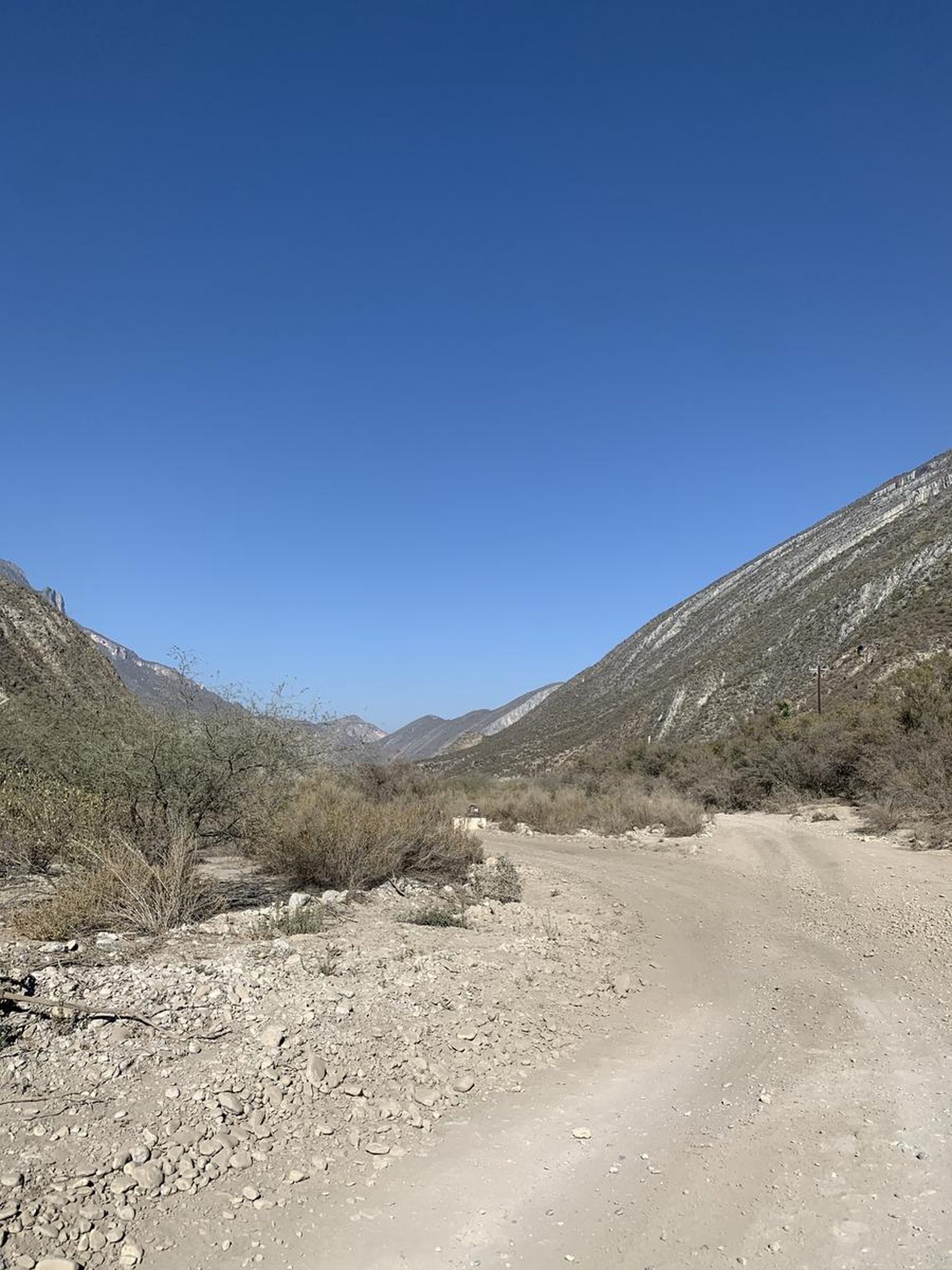
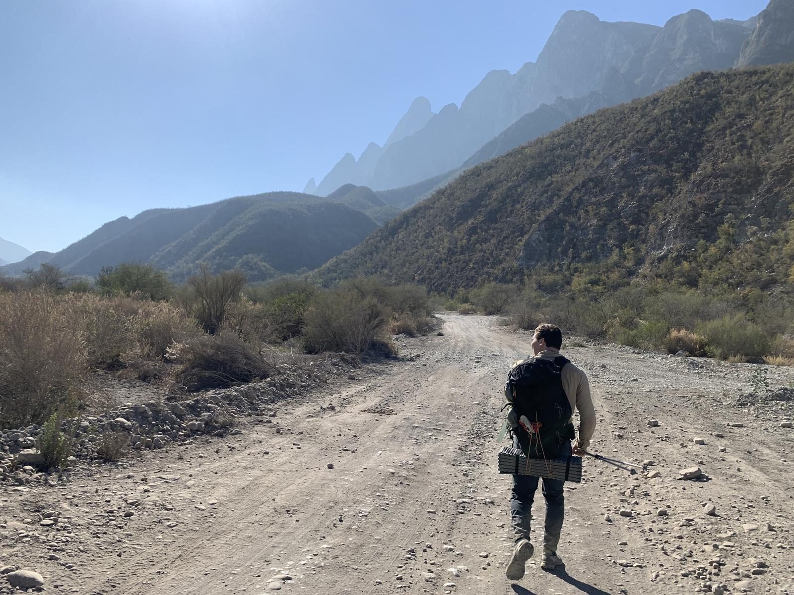
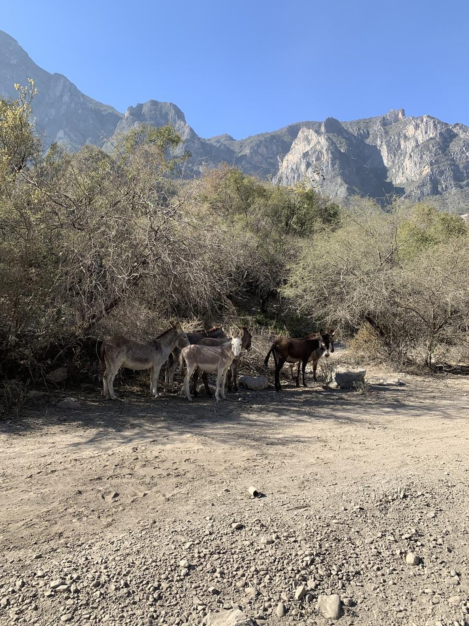
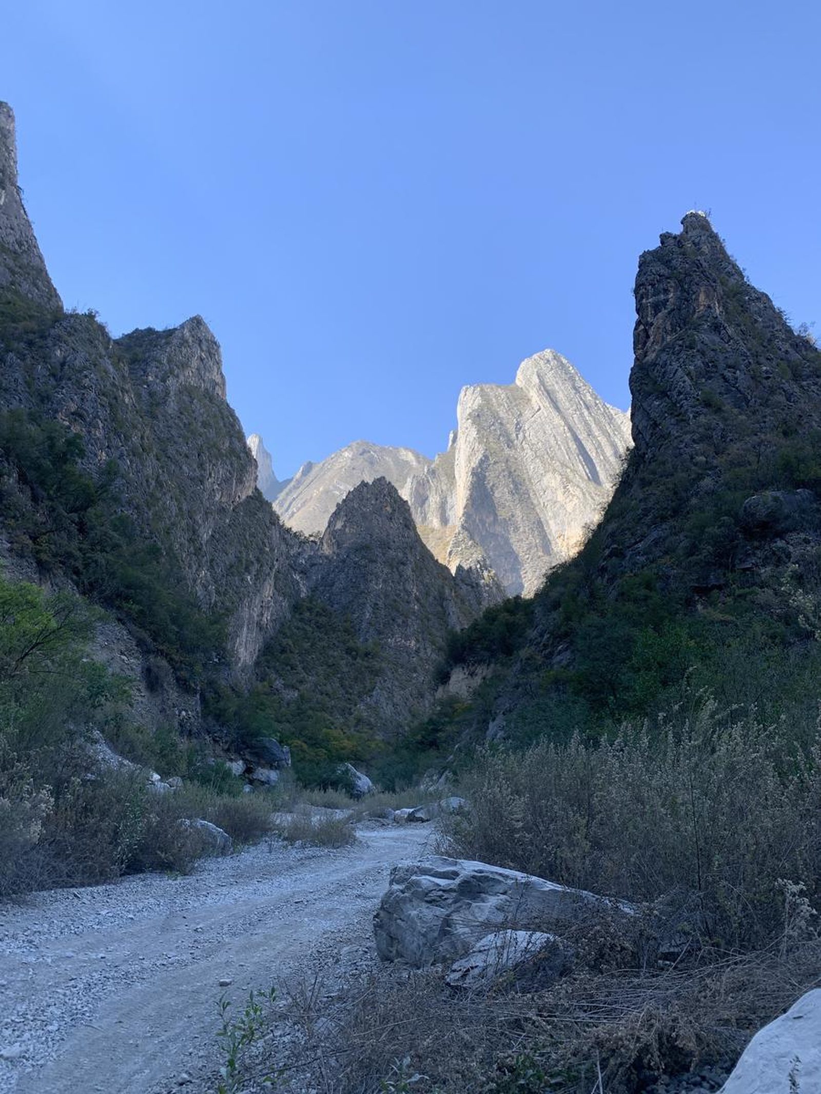
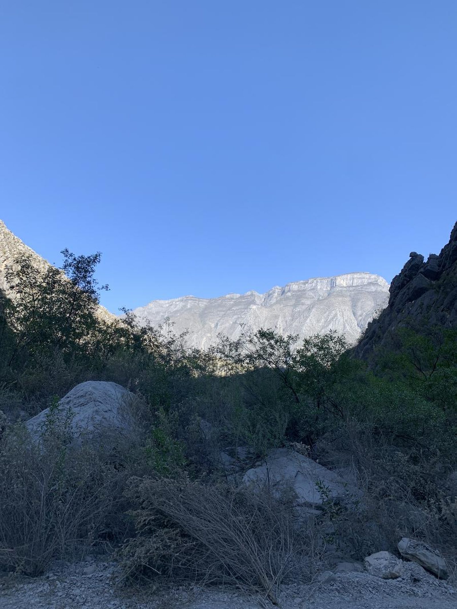
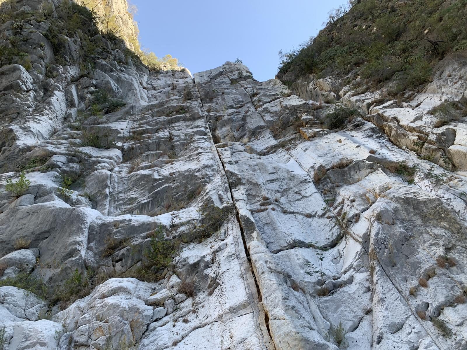
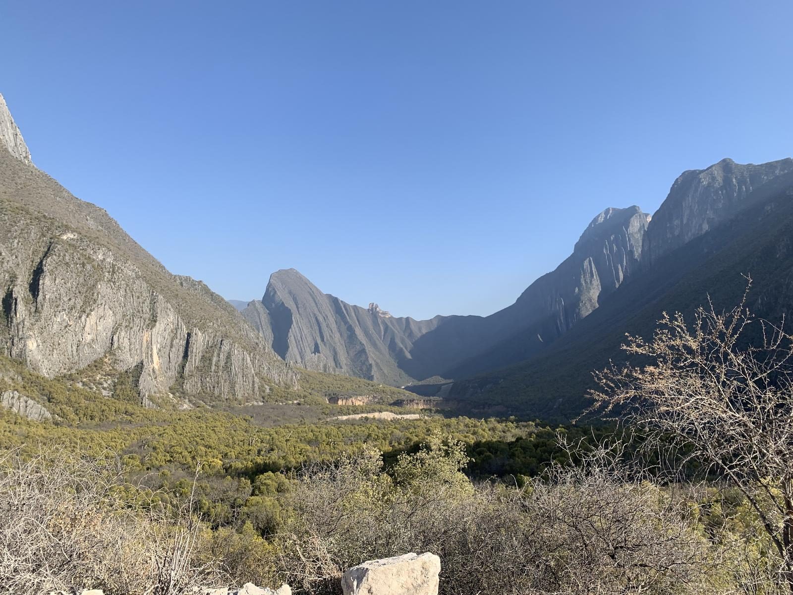
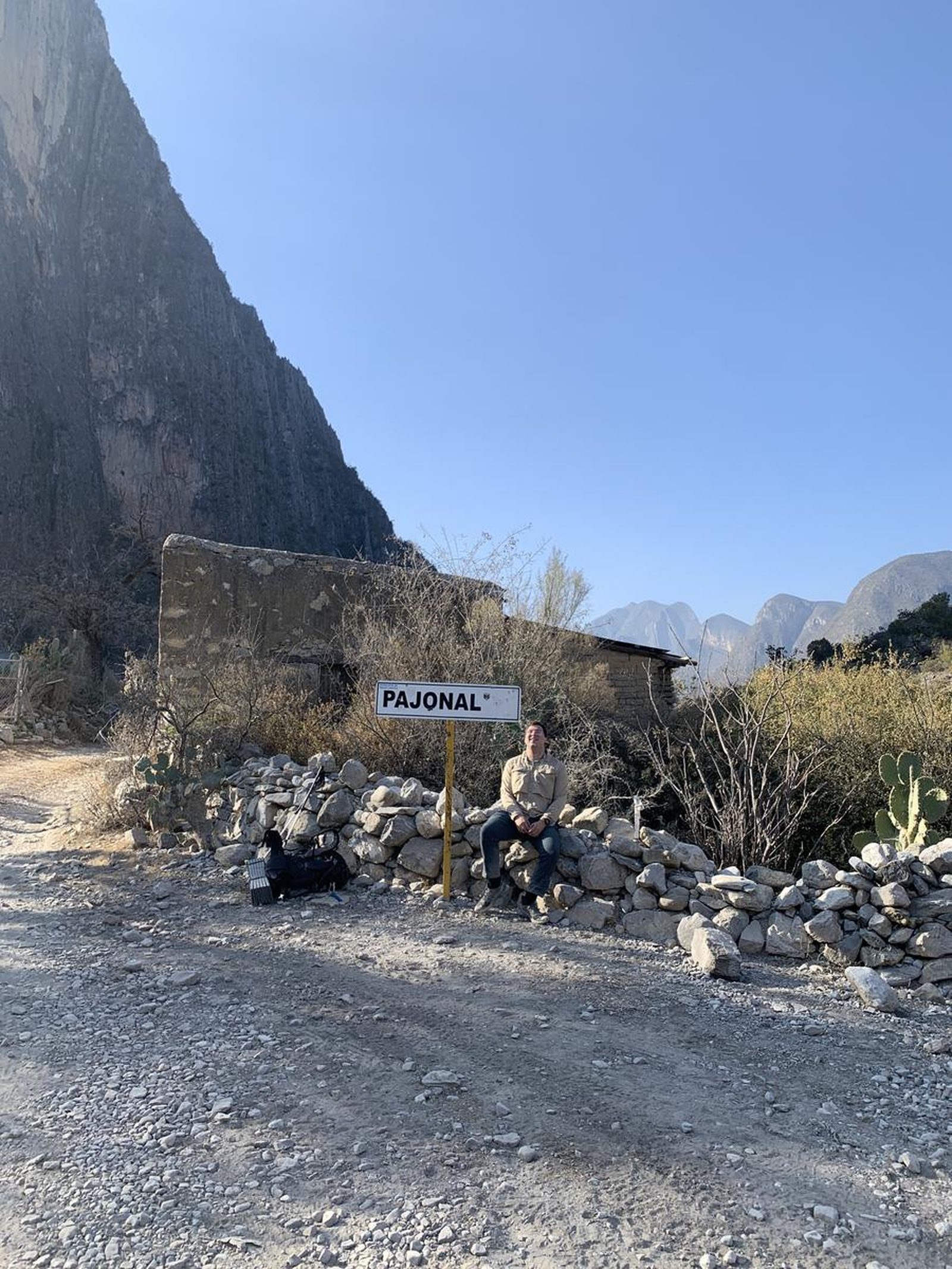
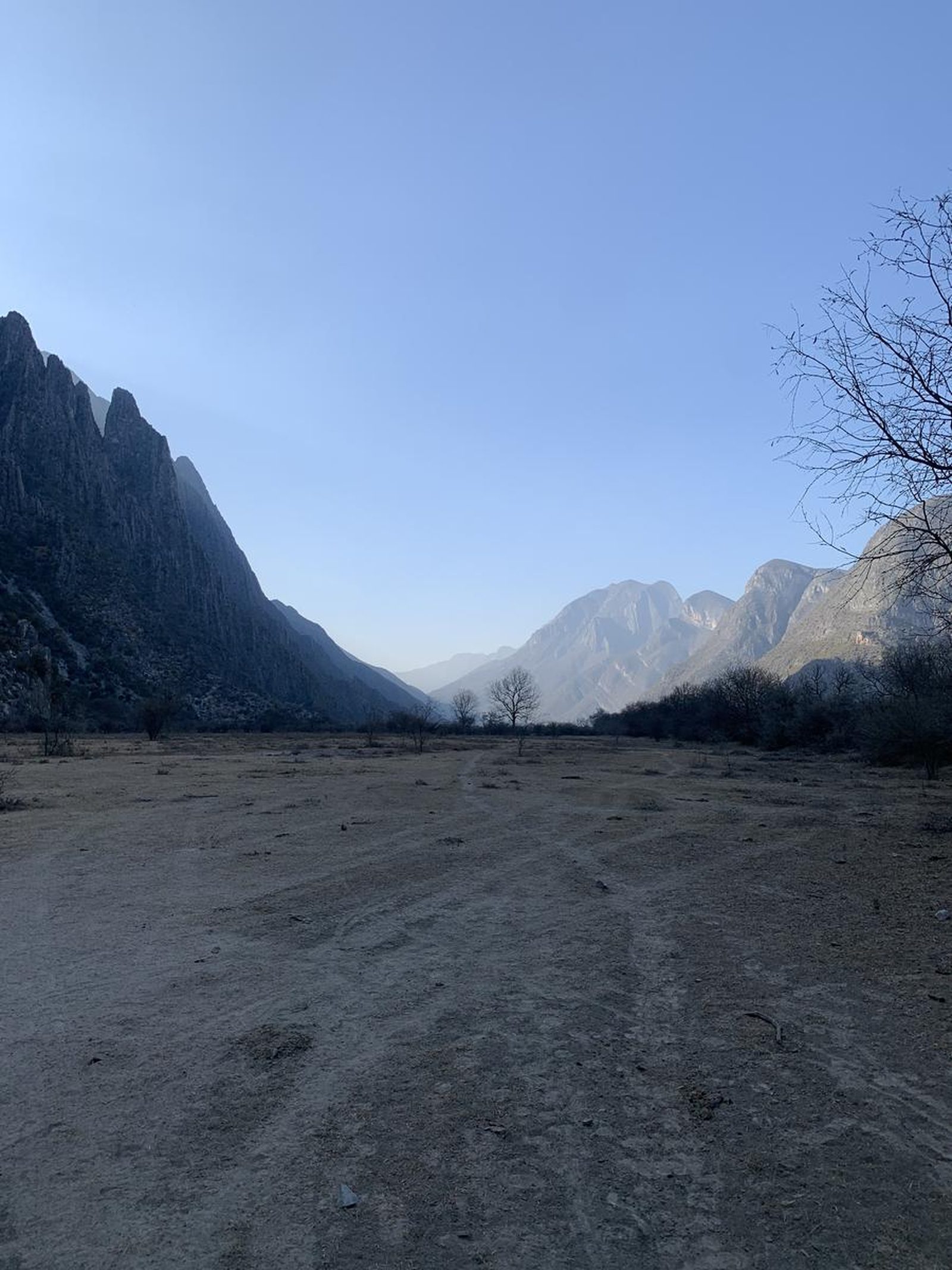
El Pajonal is a town hidden in the mountains, it's one of the first stops on a road that takes you to Arteaga! Perfect for camping
📢 Alerts & Updates
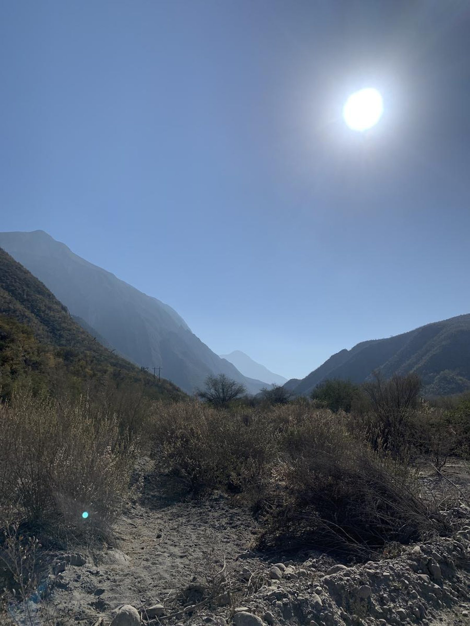
It can be very hot to do this route in summer.
Warnings


Level
i
Packing List
How to get there
Trailhead Access
The best way to arrive without problems is to ask our friend Google to guide us. There are some dead ends and it could be tedious if we don't know well. https://goo.gl/maps/q63SA6ypR3oDgarc7
Parking Information
You can park on Avenida de las Industrias on the trail without getting in the way.
Fees & Park Hours
At the time this review was written, there is no cost.
Trail Overview
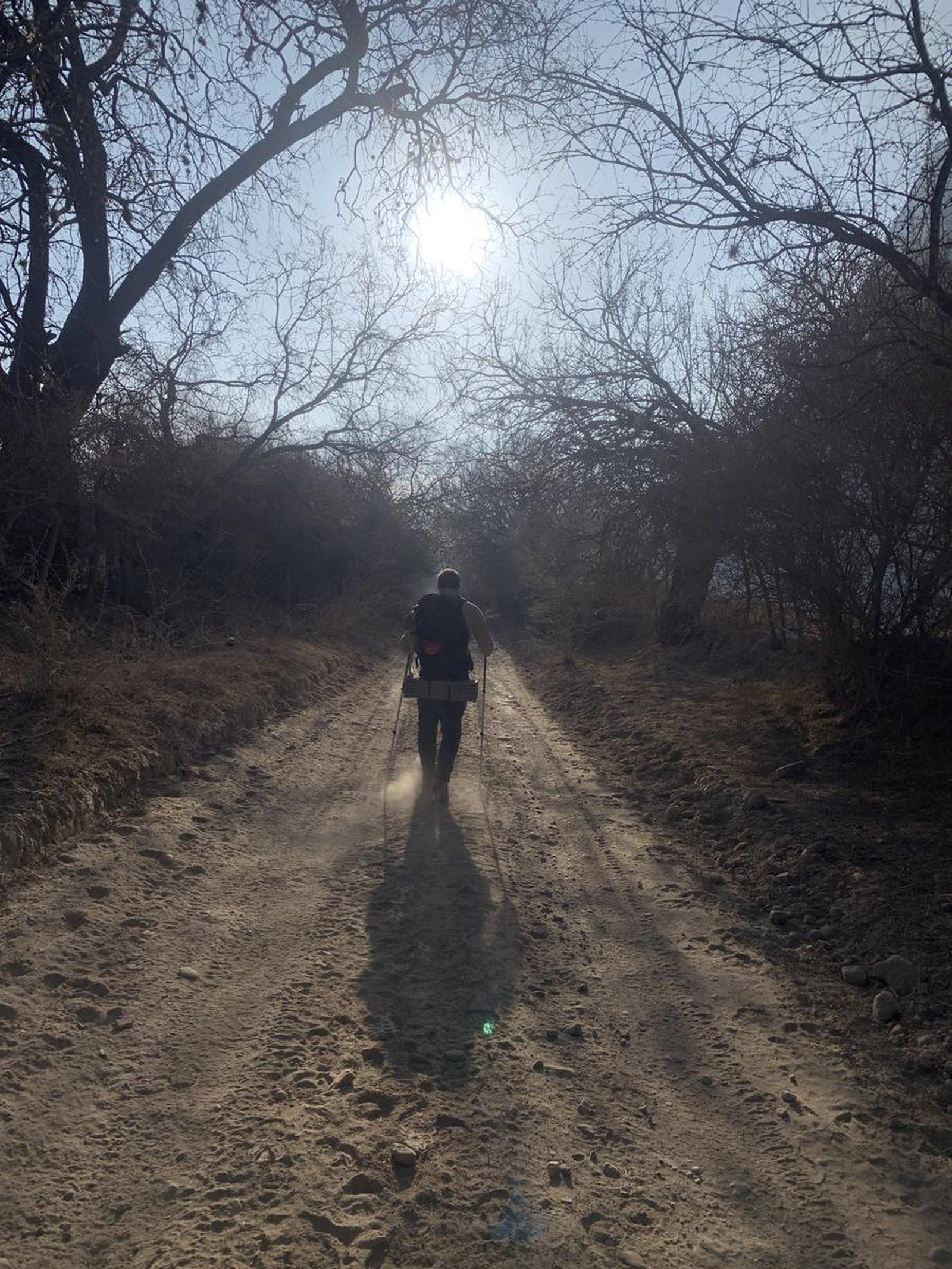
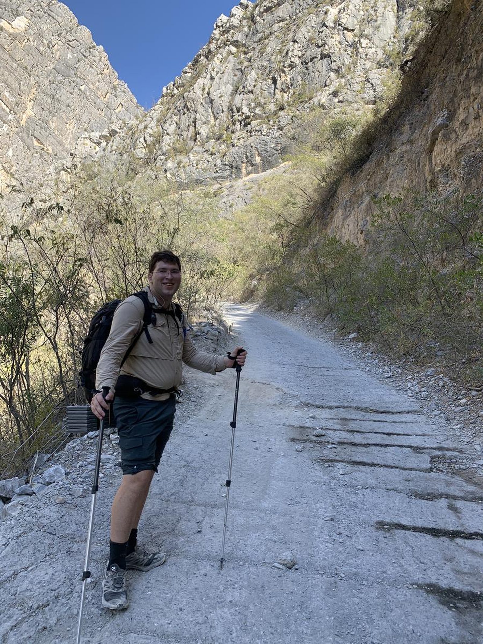
You can follow the cobblestone road all the way.
Recommended Gear
-First aid kit - Extra battery (power bank) -Lamp -Thermal blanket -Sunscreen -Walking sticks -Lenses with sun protection. -Whistle
What to Expect on the Trail
i
Elevation Gain
655 m
Total Distance (Out & back)
22.5 km
Total Time
6 h 5 m
Max Elevation
1488 m a.s.l.
Level 3. This route has a positive elevation gain of 655 kilometers and is distributed over a distance of 22.5 kilometers (45 in total). Keep in mind that doing this route in a single day is quite heavy due to the distance.


