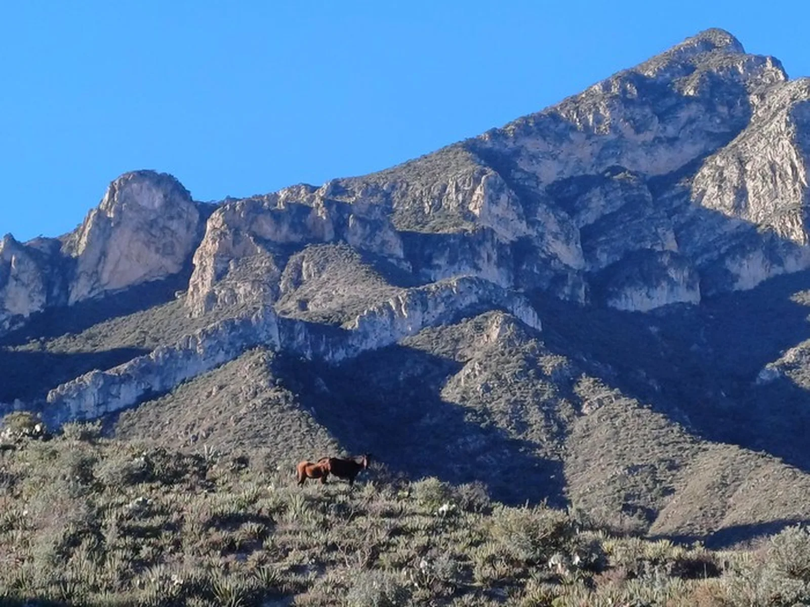
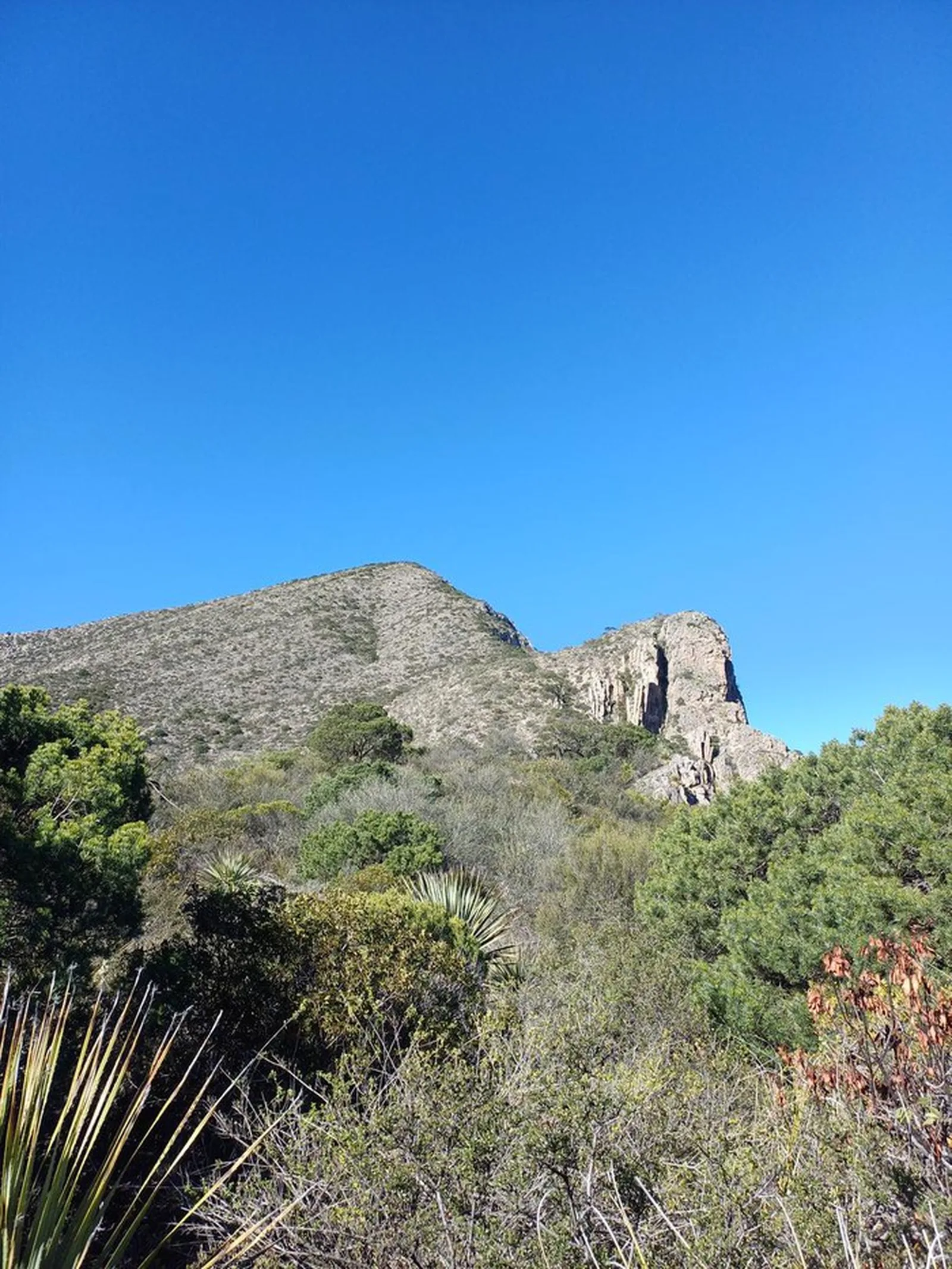
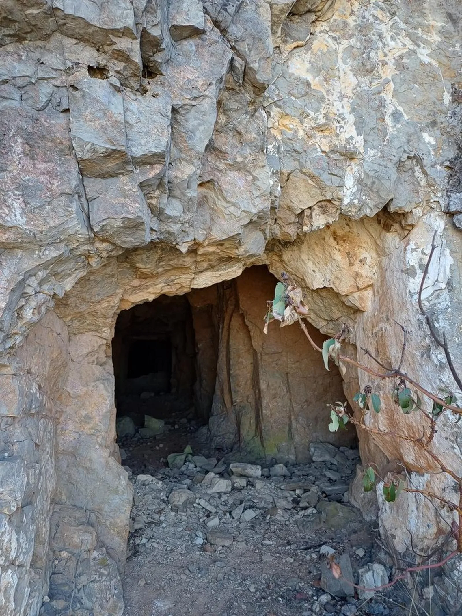
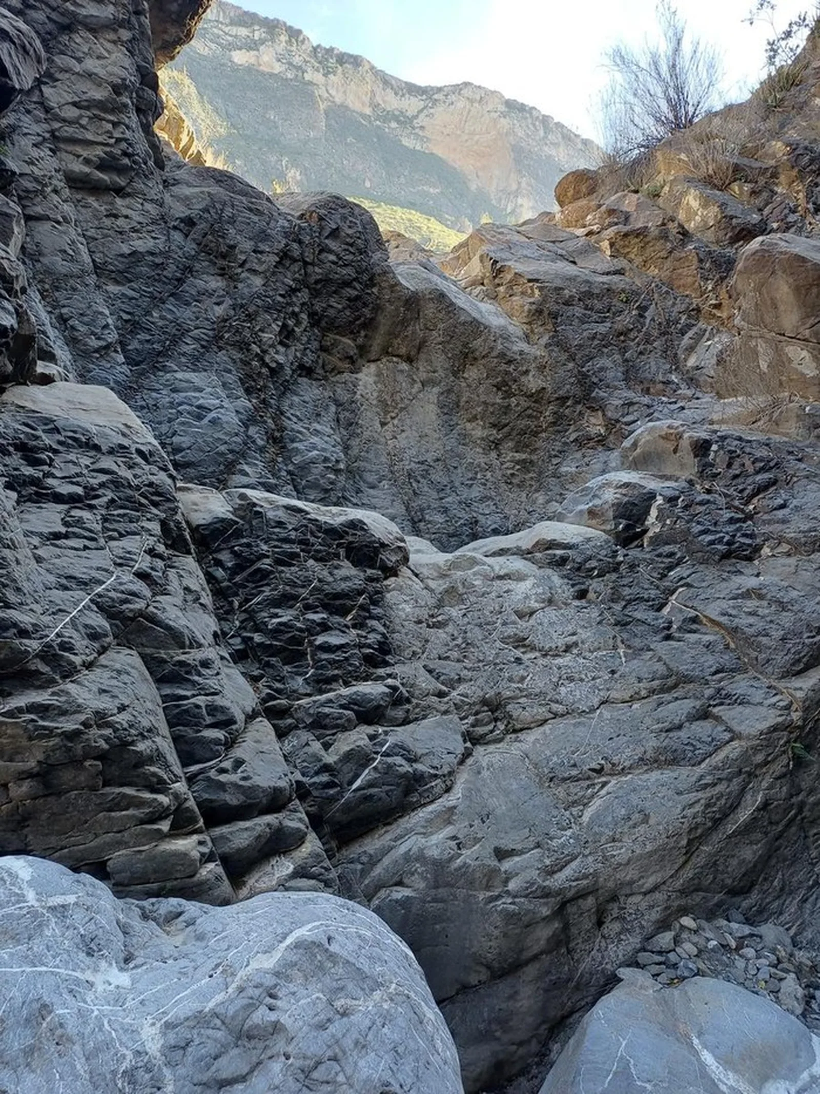
La Blanca, Santa Catarina
Sierra de Urbano, San José de los Nuncios
Zone: La Huasteca guide
- Distance
- 14.2 mi
- Elevation gain
- 5207 ft
- Time
- 7 h 12 m
- Altitude
- 8071 ft
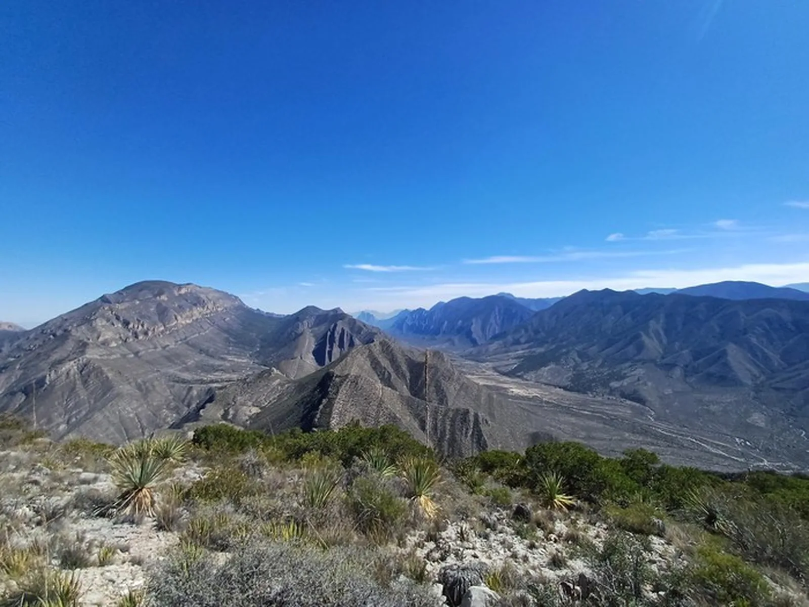
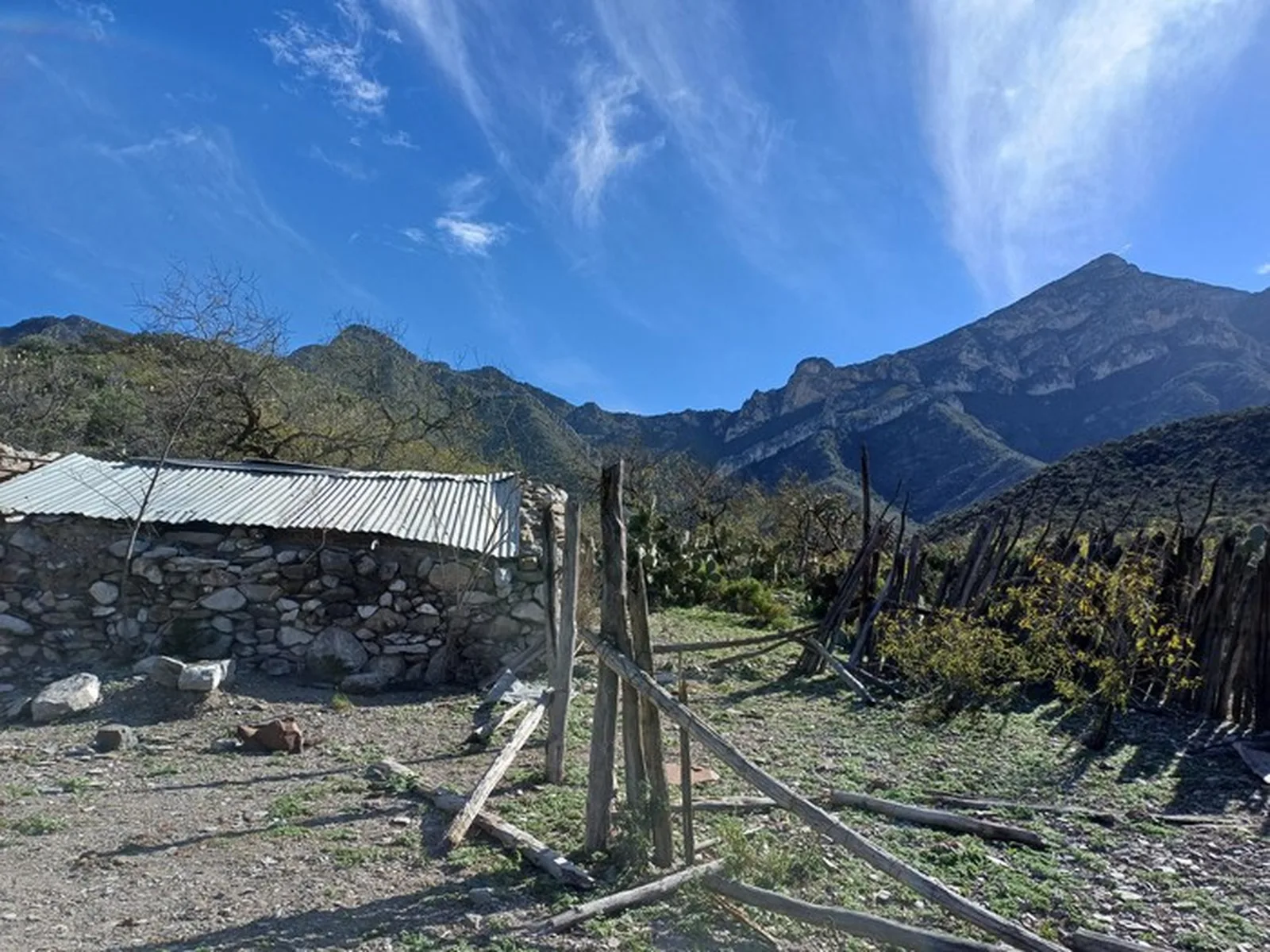
La Blanca — high summit in the Sierra de los Nuncios. 22.79 km and 1,587 m of elevation gain to 2,460 msnm.
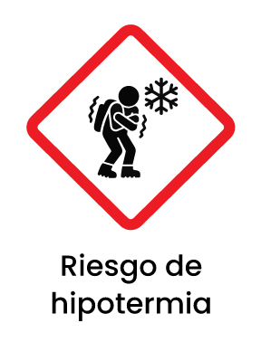
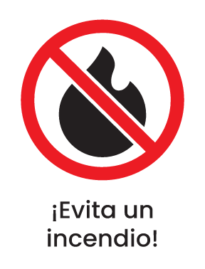
Warnings



Level
i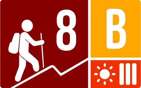
Packing List
How to get there
Trailhead Access
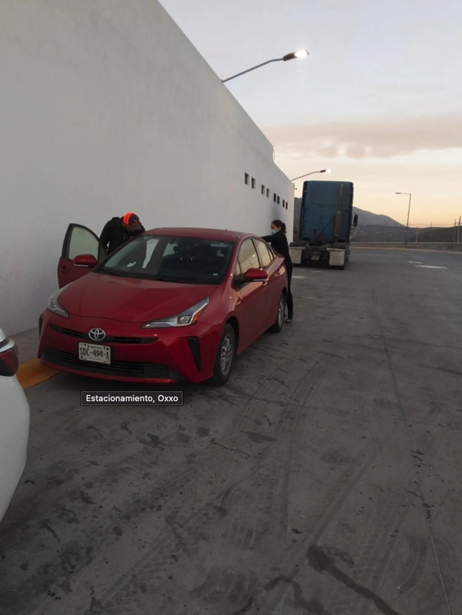
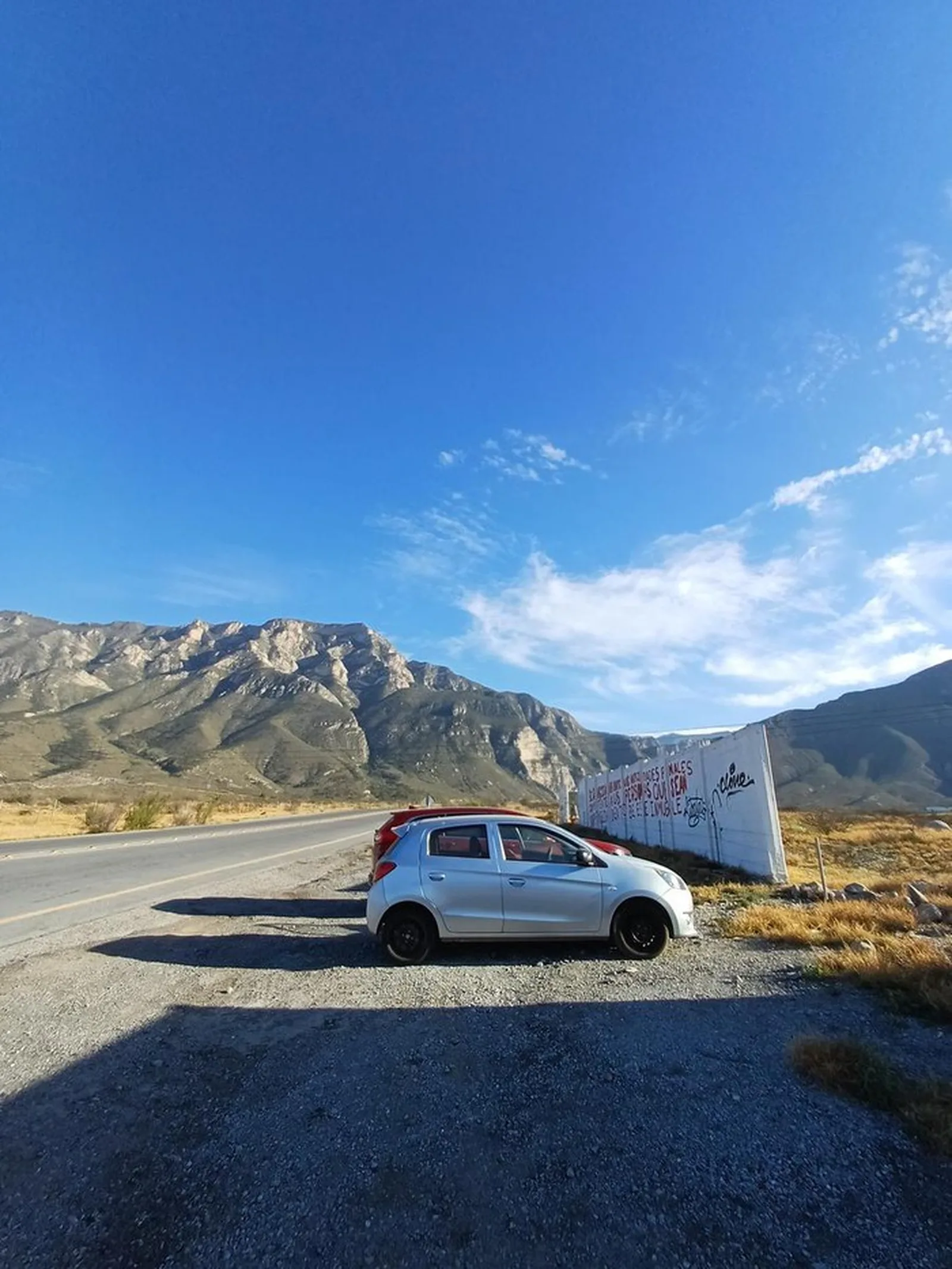
Drive to San José de los Nuncios via the Carretera Nacional from Monterrey toward Saltillo, then south toward the Nuncios area. The trailhead is at the ejido access road.
Parking Information
Park at the designated ejido lot. A small fee usually applies.
Fees & Park Hours
Access fee at the ejido (typically $50-100 MXN per person).
Trail Overview
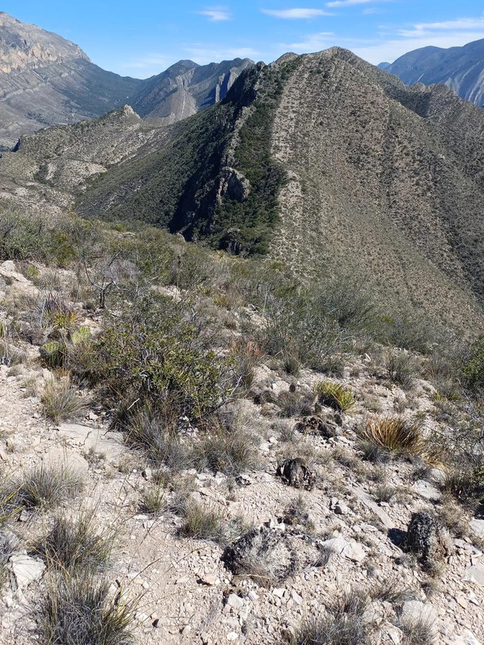
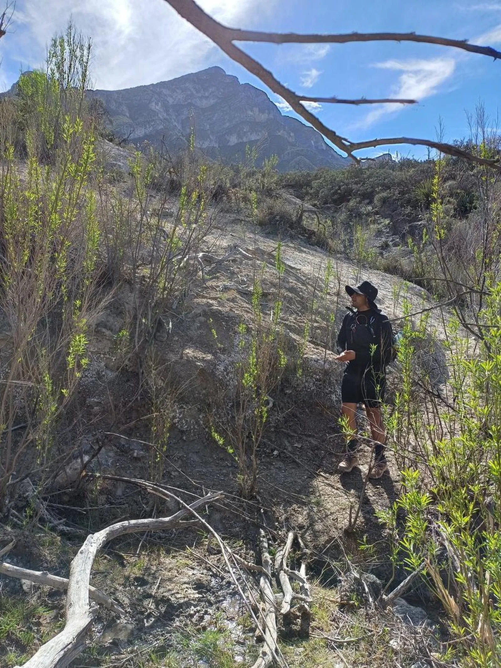
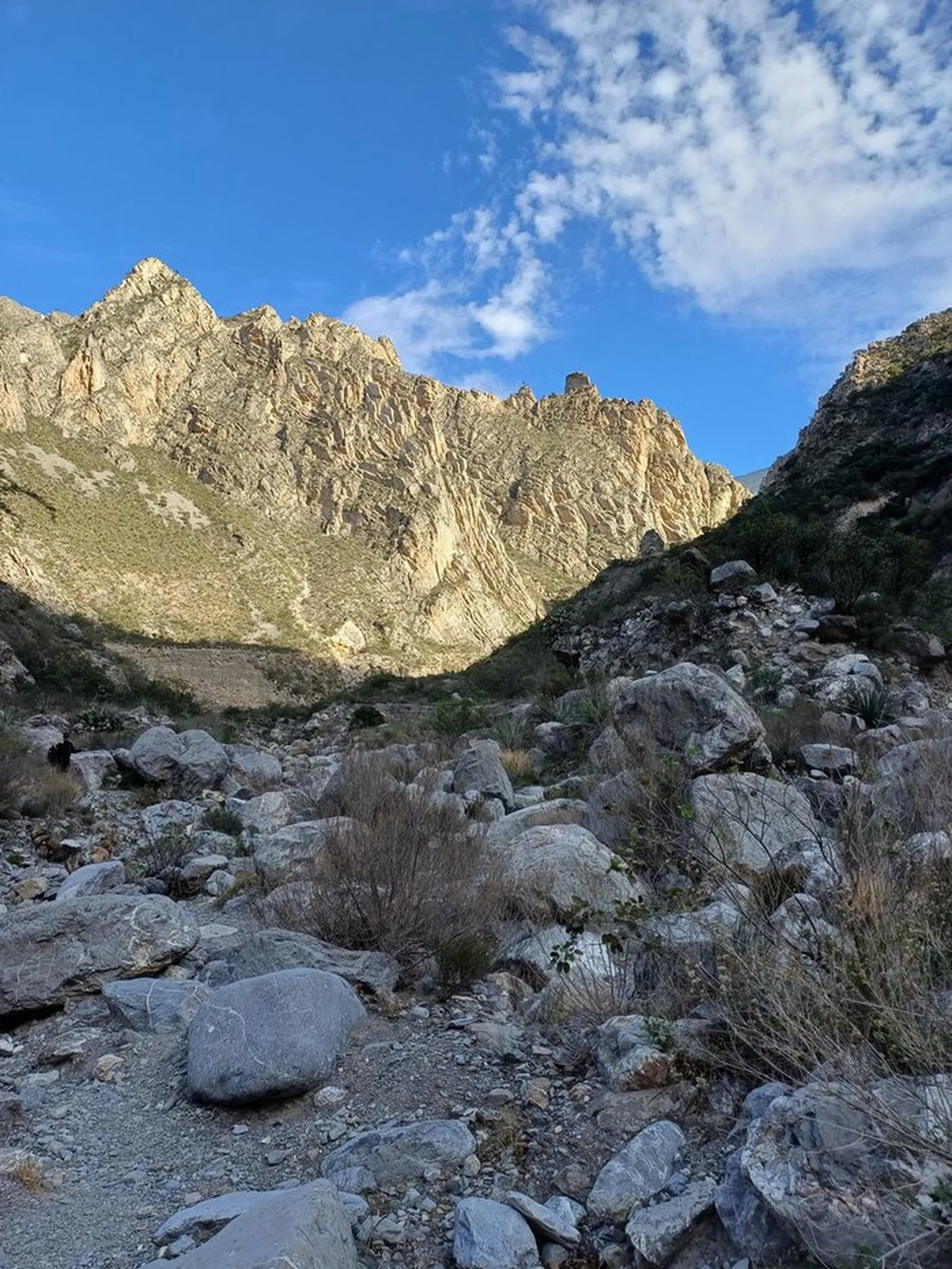
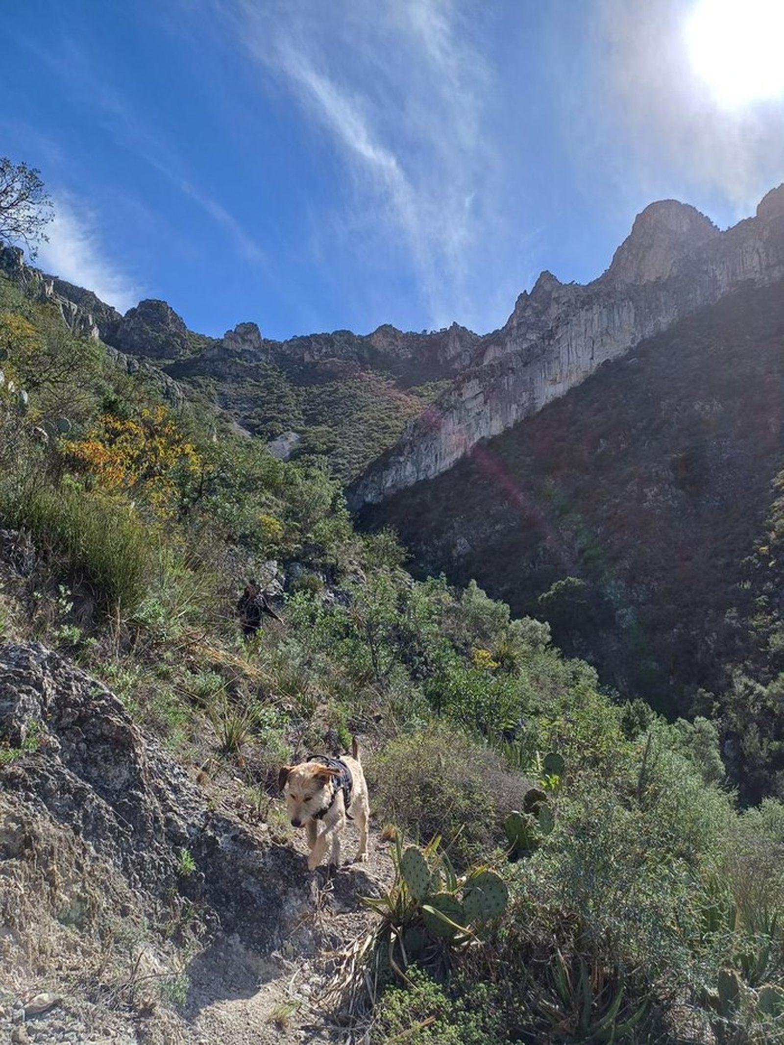
Long approach through the ejido, then a steady climb to the high ridge culminating at La Blanca. Follow Wikiloc at key intersections.
Recommended Gear
Hiking poles, headlamp, power bank, sunscreen, first-aid kit, emergency blanket. Food for 11–15 hours on the trail. It is extremely important not to throw away or dump any kind of trash; consider bringing a bag to carry out your containers and any you find along the way.
What to Expect on the Trail
i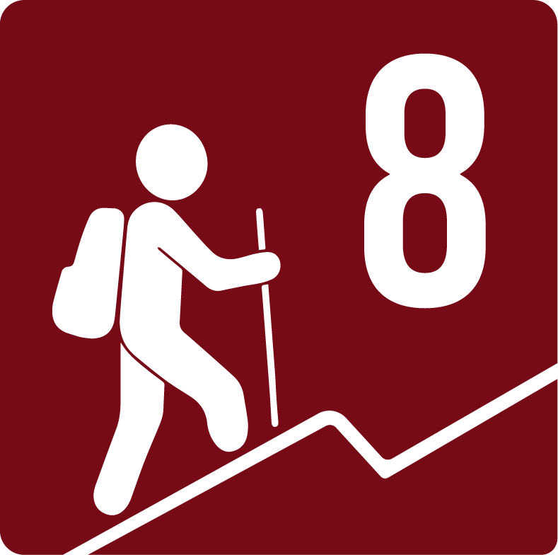
Elevation Gain
1587 m
Total Distance (Out & back)
22.79 km
Total Time
7 h 12 m
Max Elevation
2460 m a.s.l.
Level 8. Long and demanding: ~22.79 km with 1,587 m of elevation gain to the summit of La Blanca.