
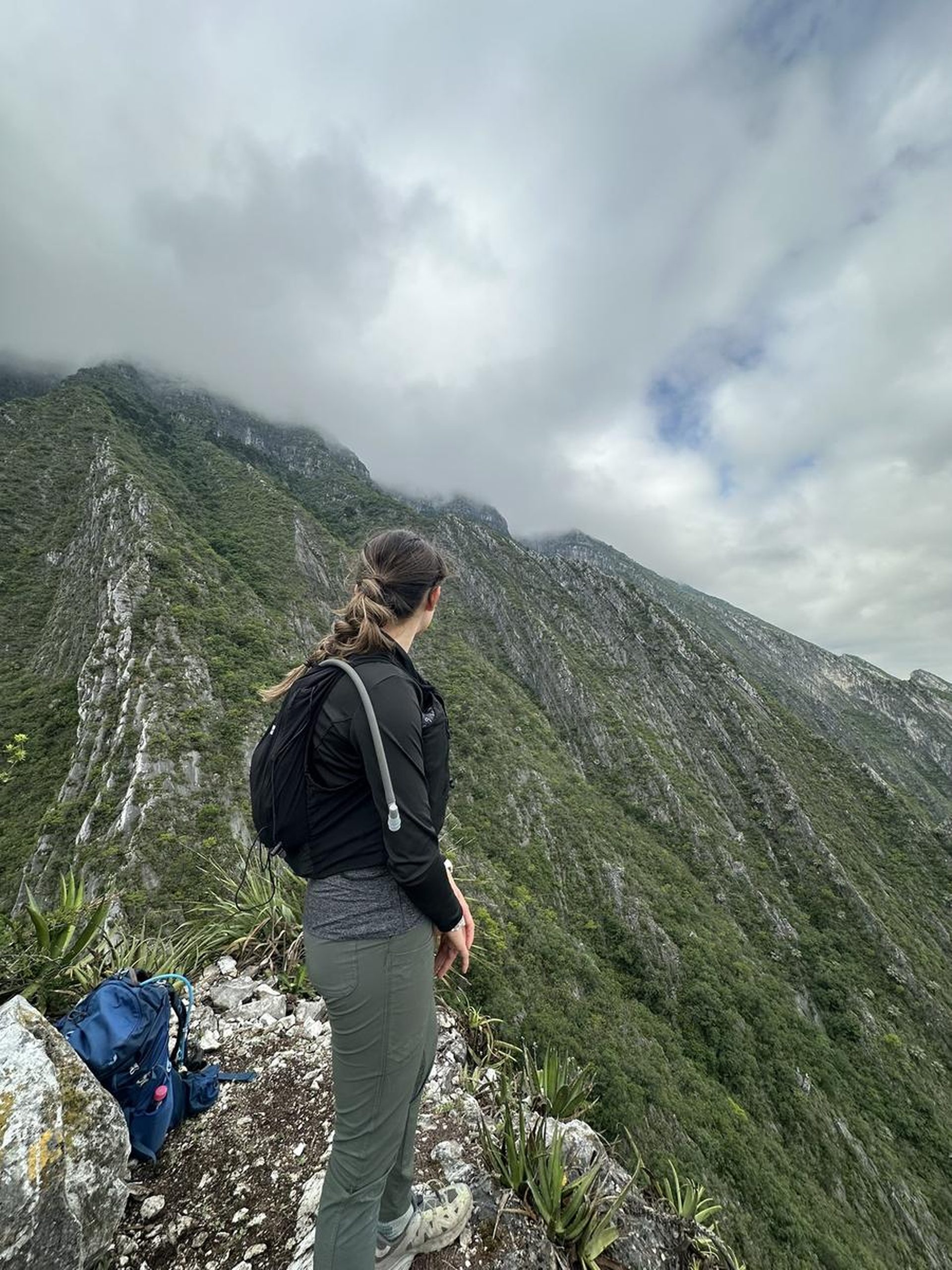
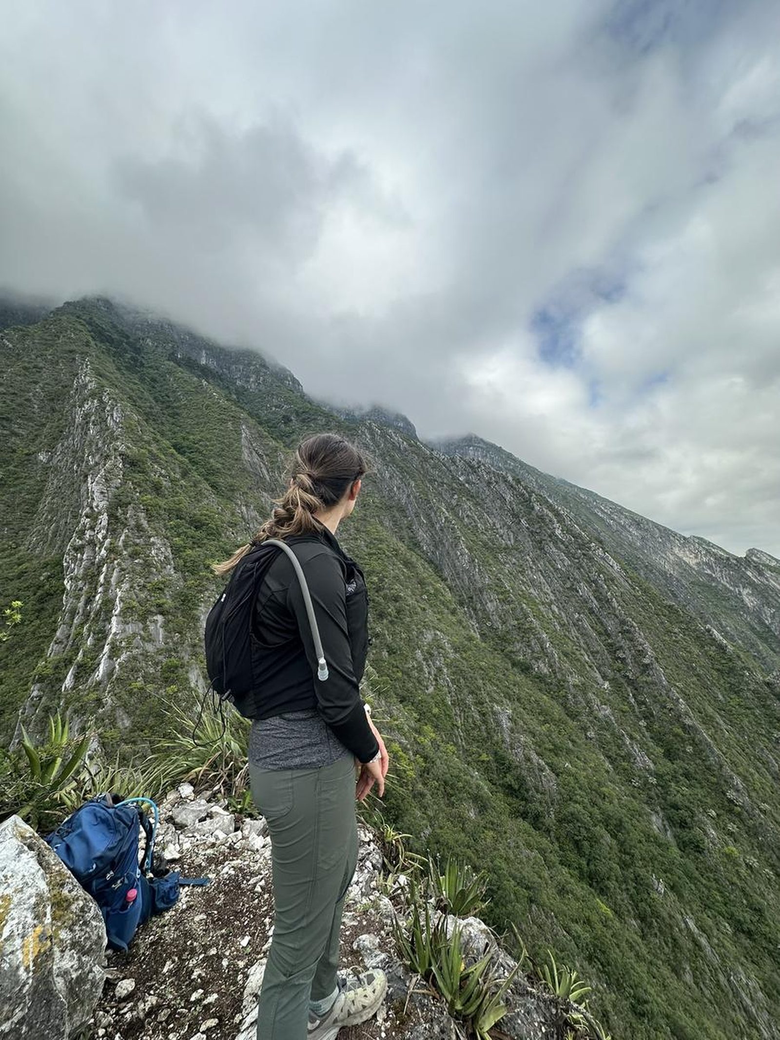
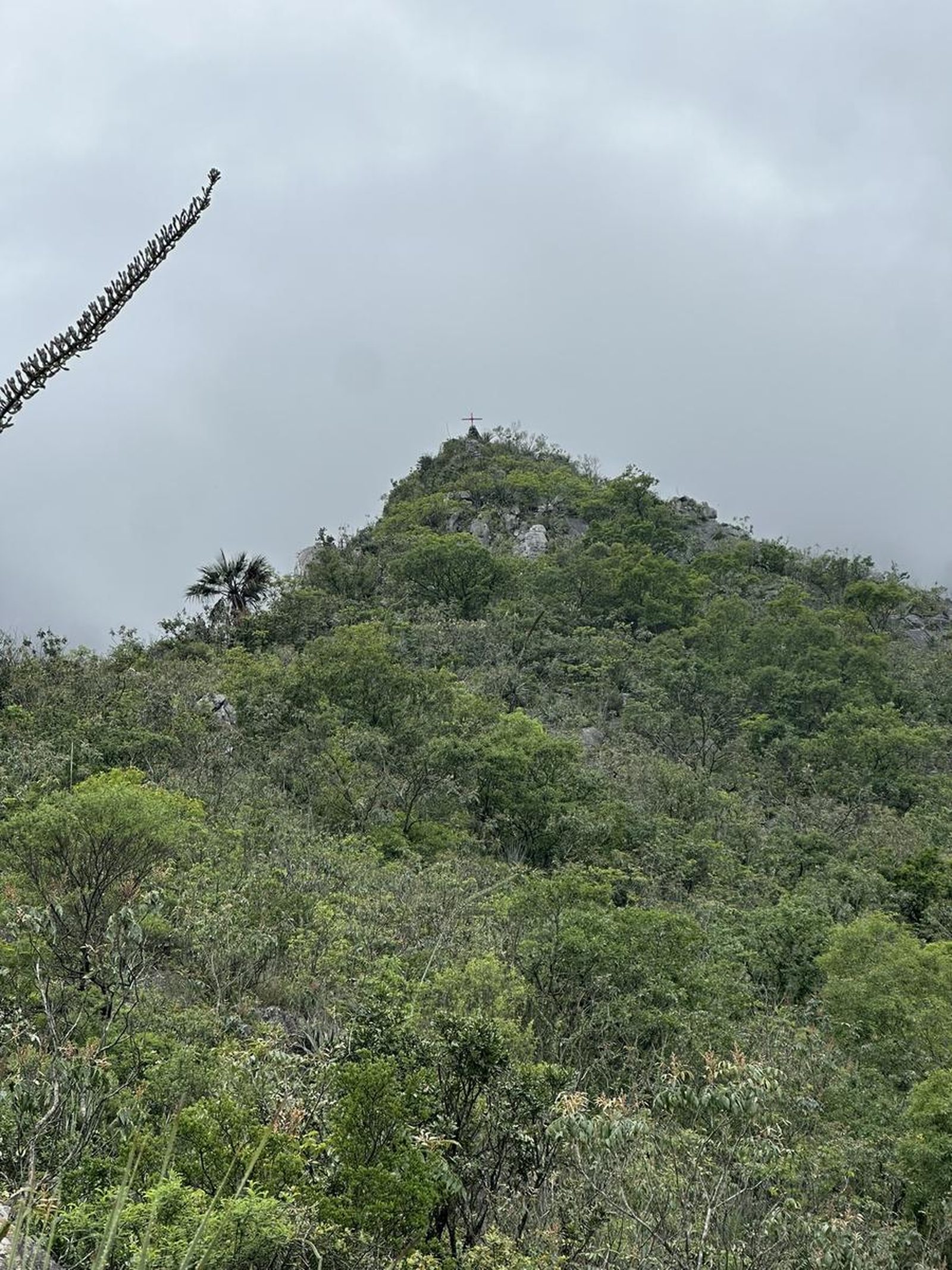
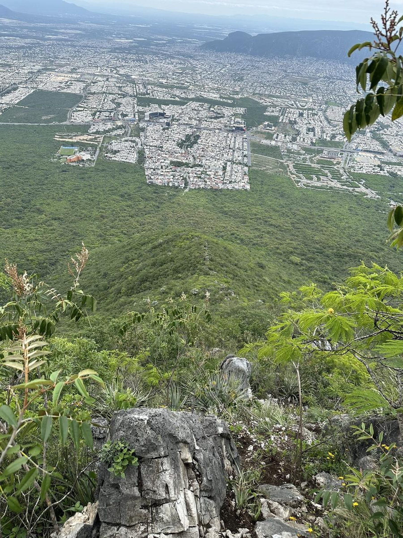
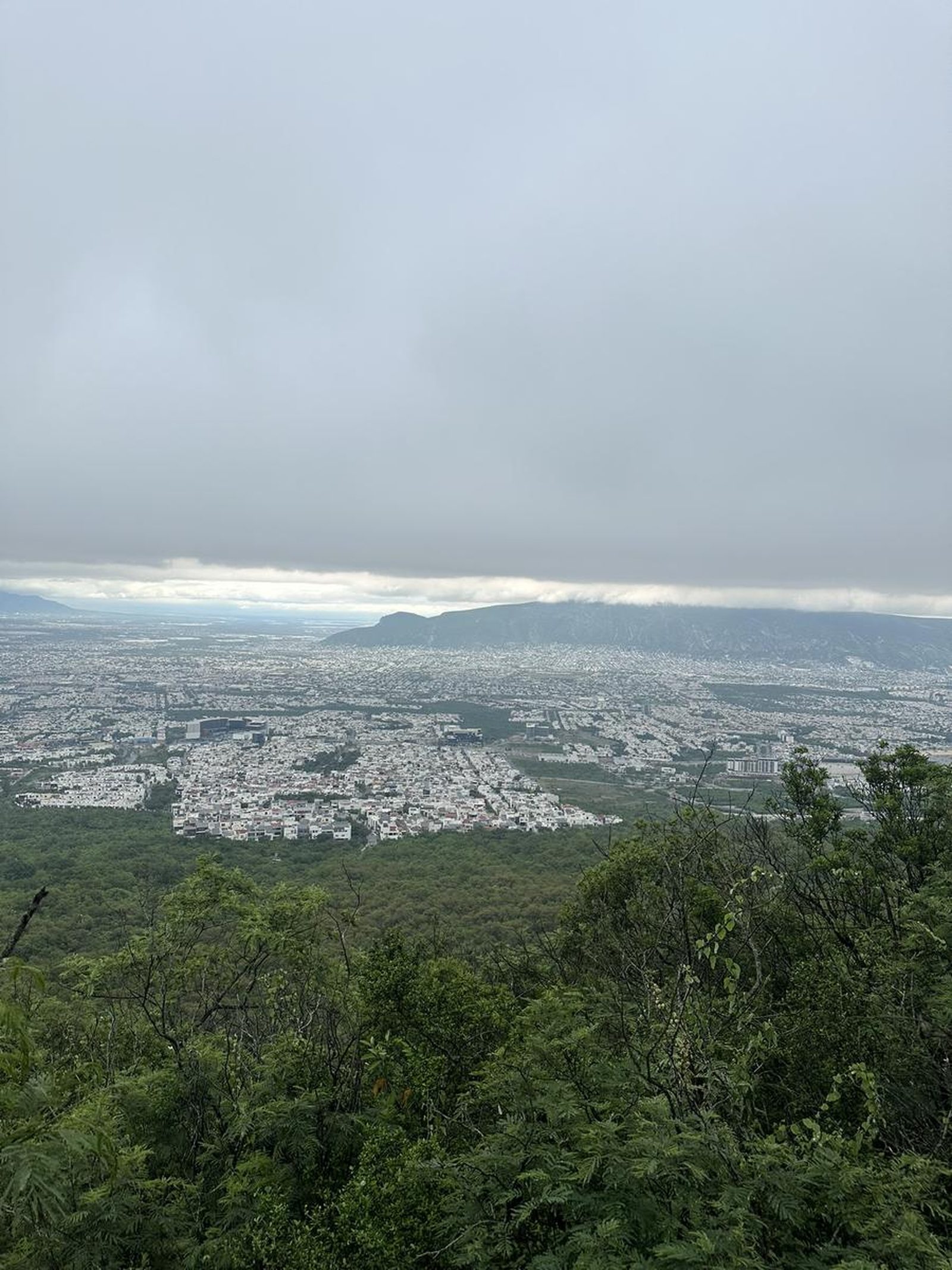
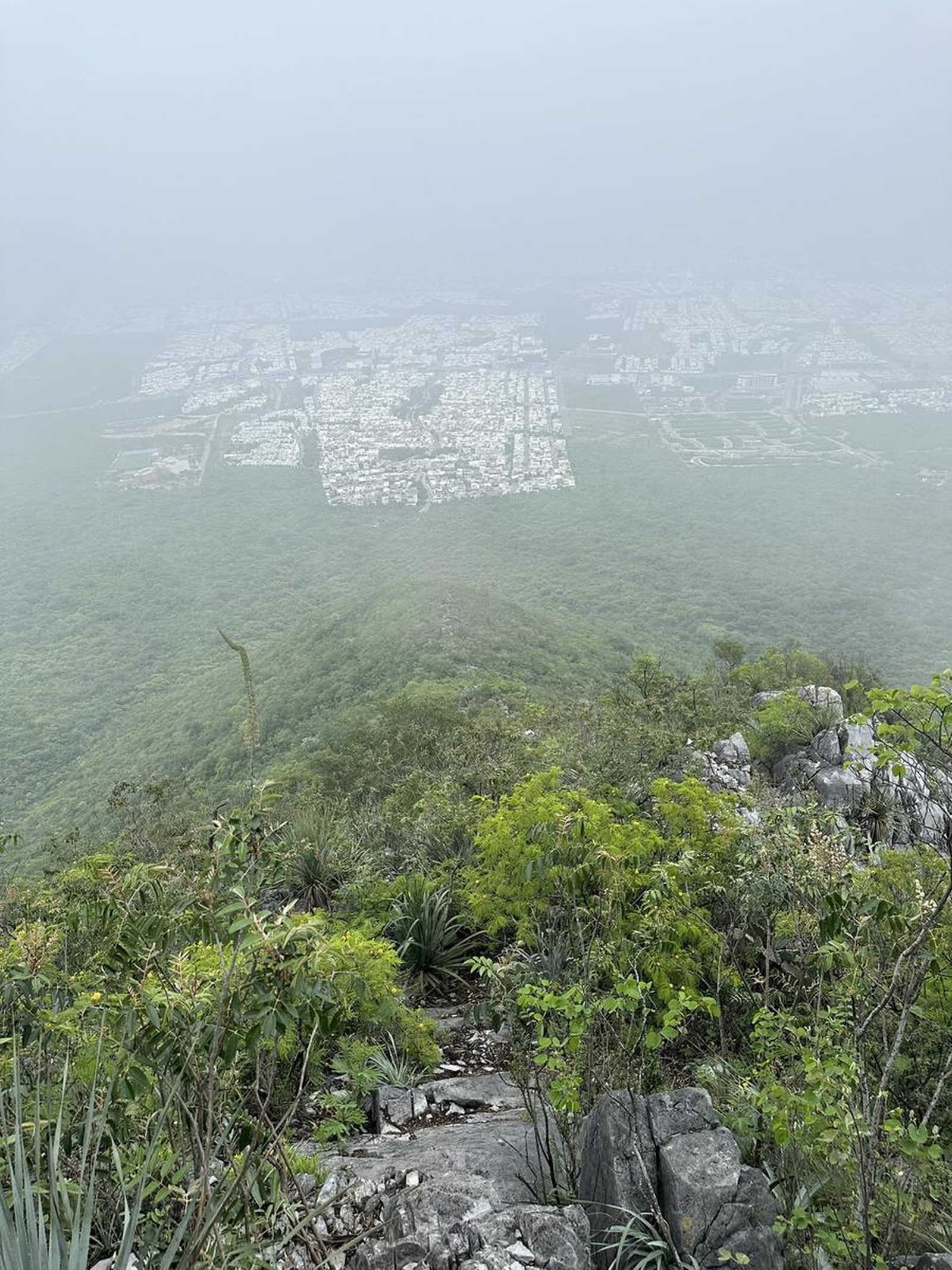
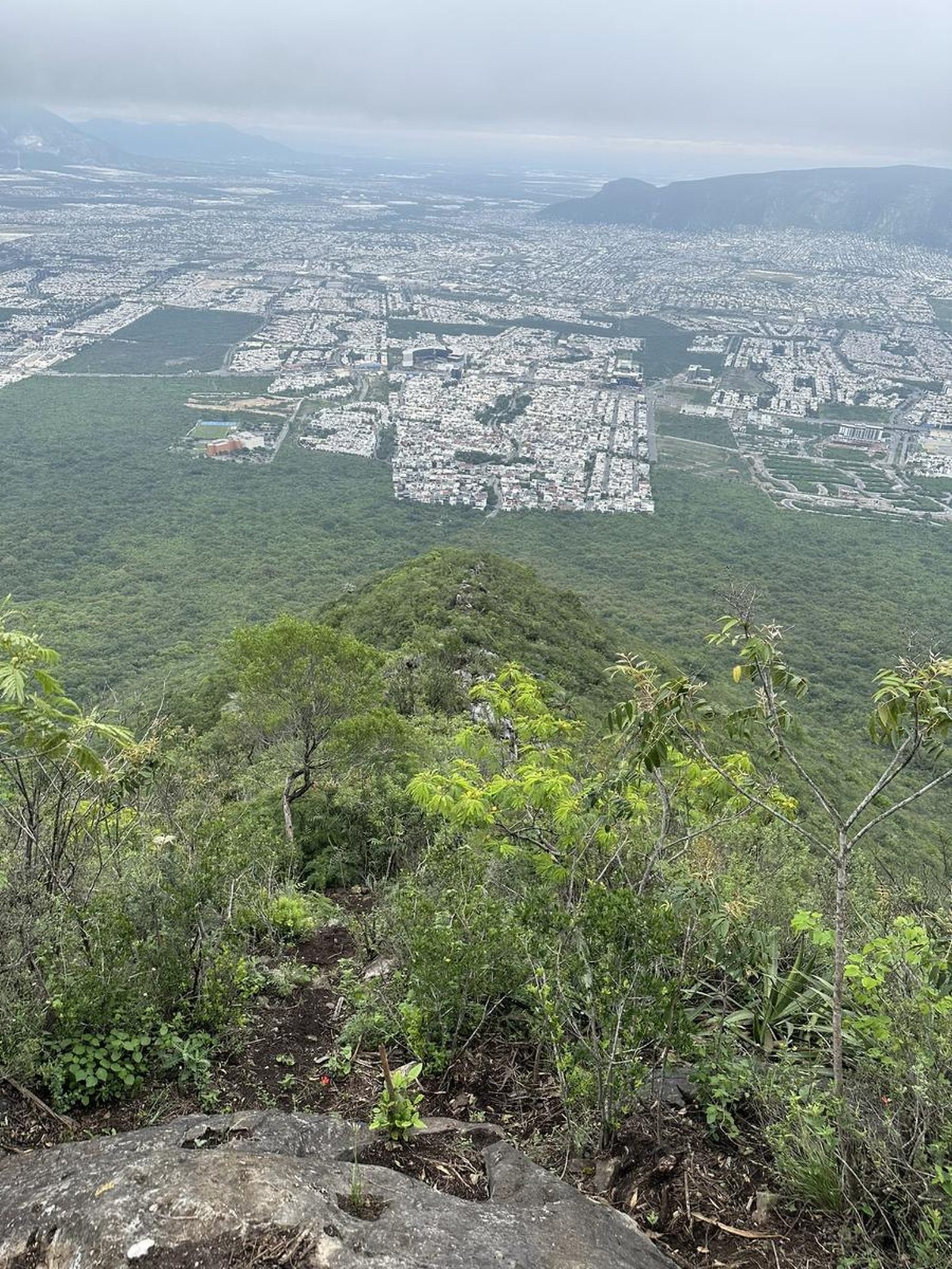
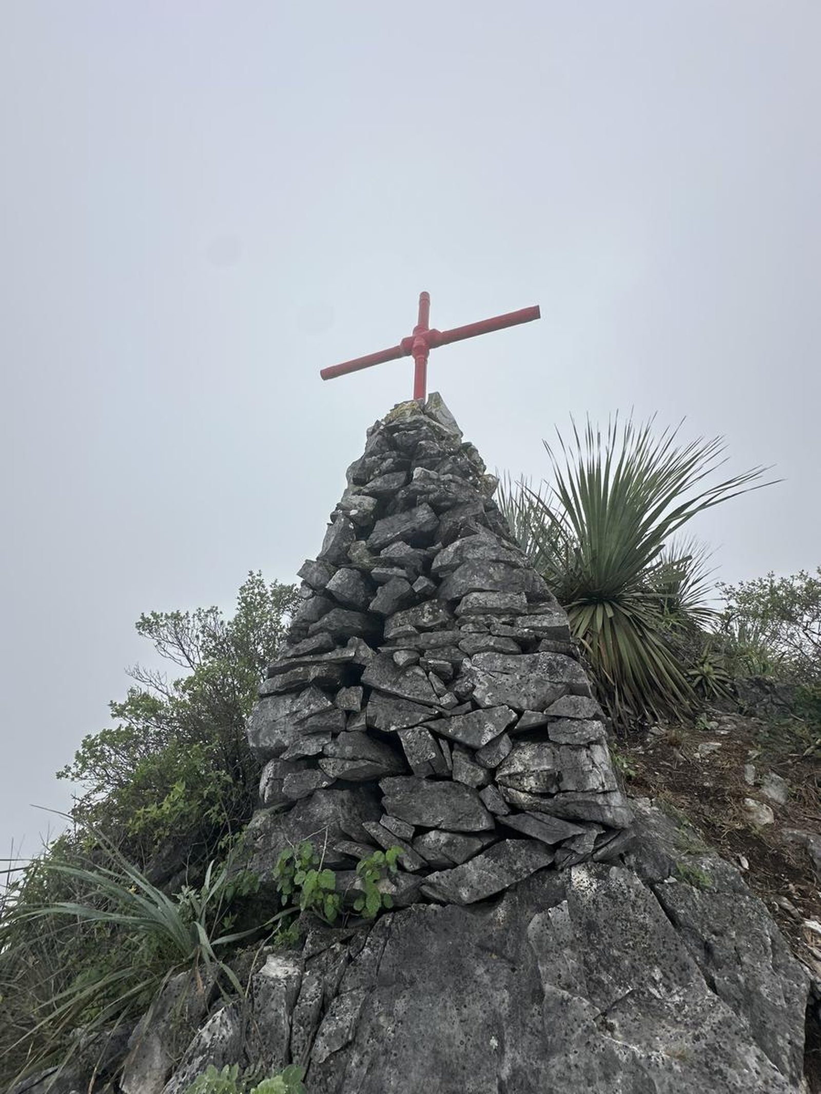
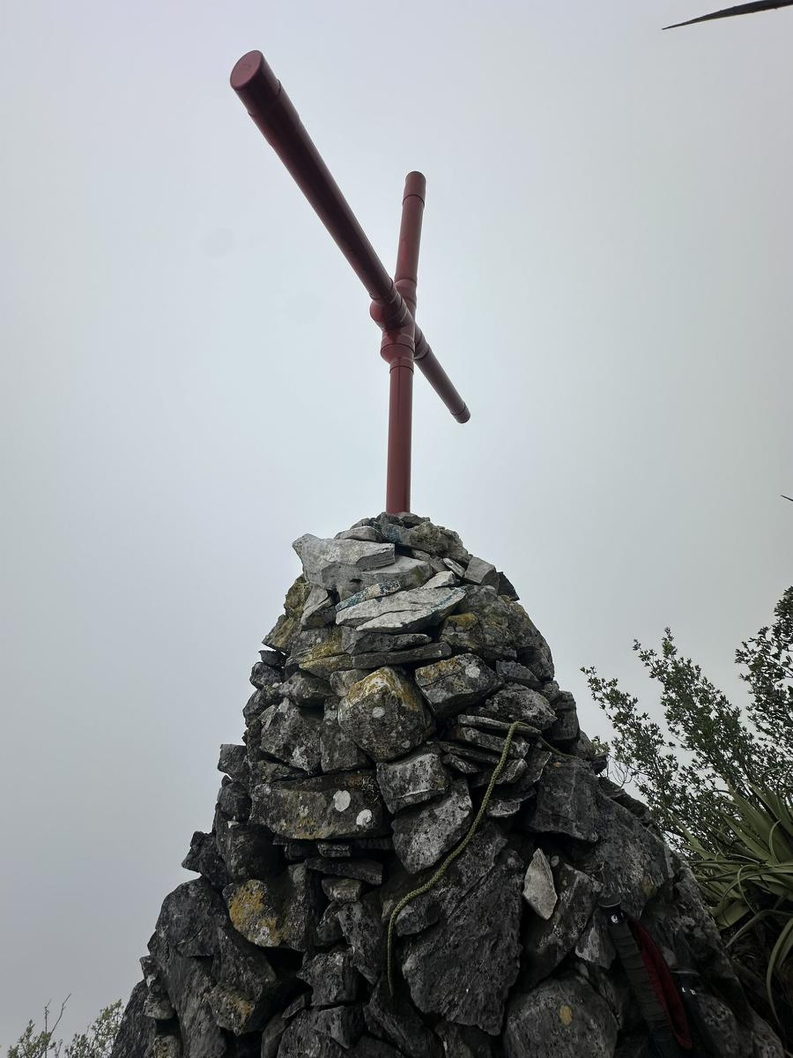
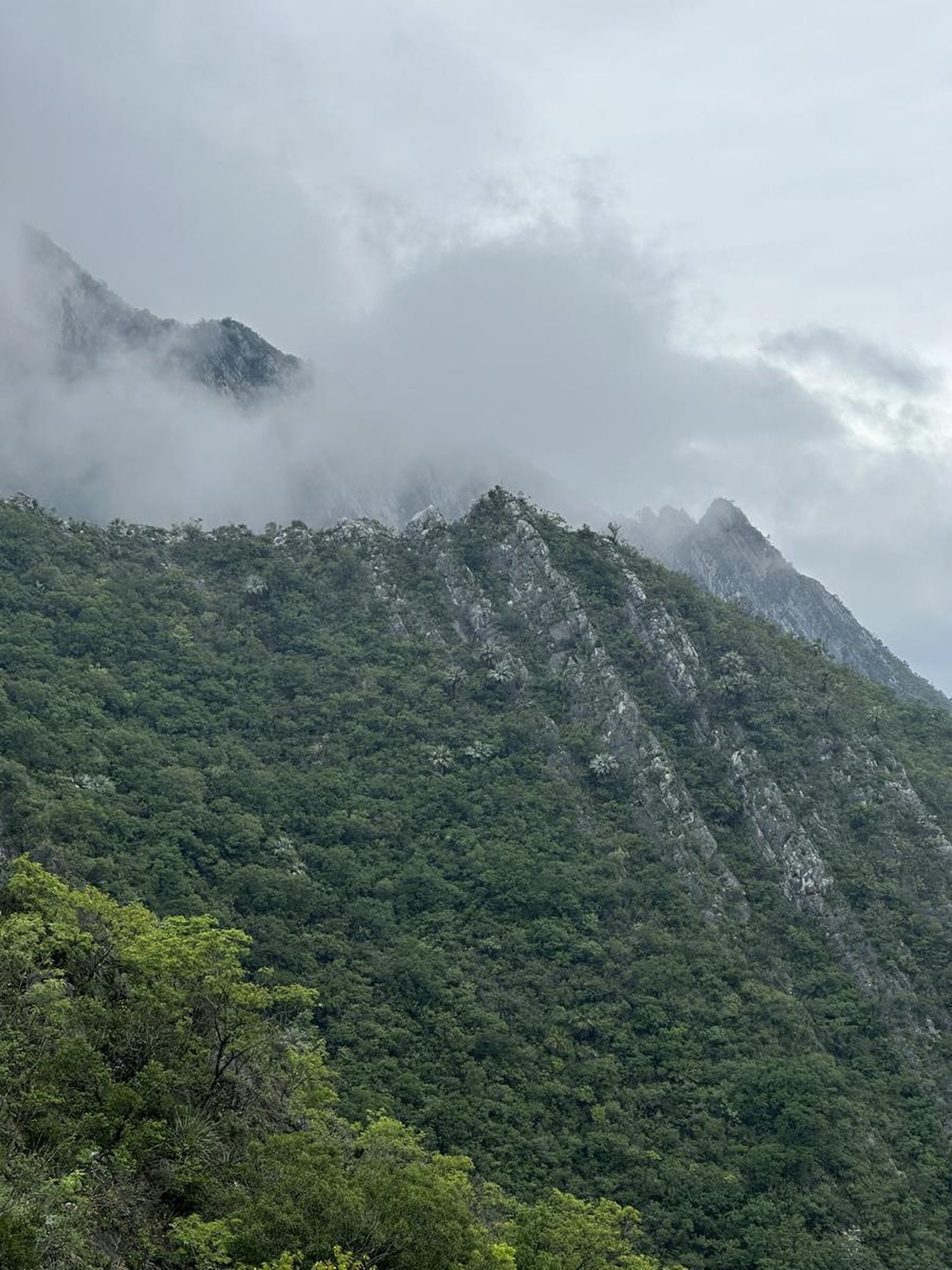
Pico Fiera, Monterrey
Reserva Natural Cerro de las Mitras
Zone: Cerro de las Mitras guide
- Elevation gain
- 1772 ft
- Distance
- 2.8 mi
- Time
- 1 h 54 m
- Altitude
- 4367 ft
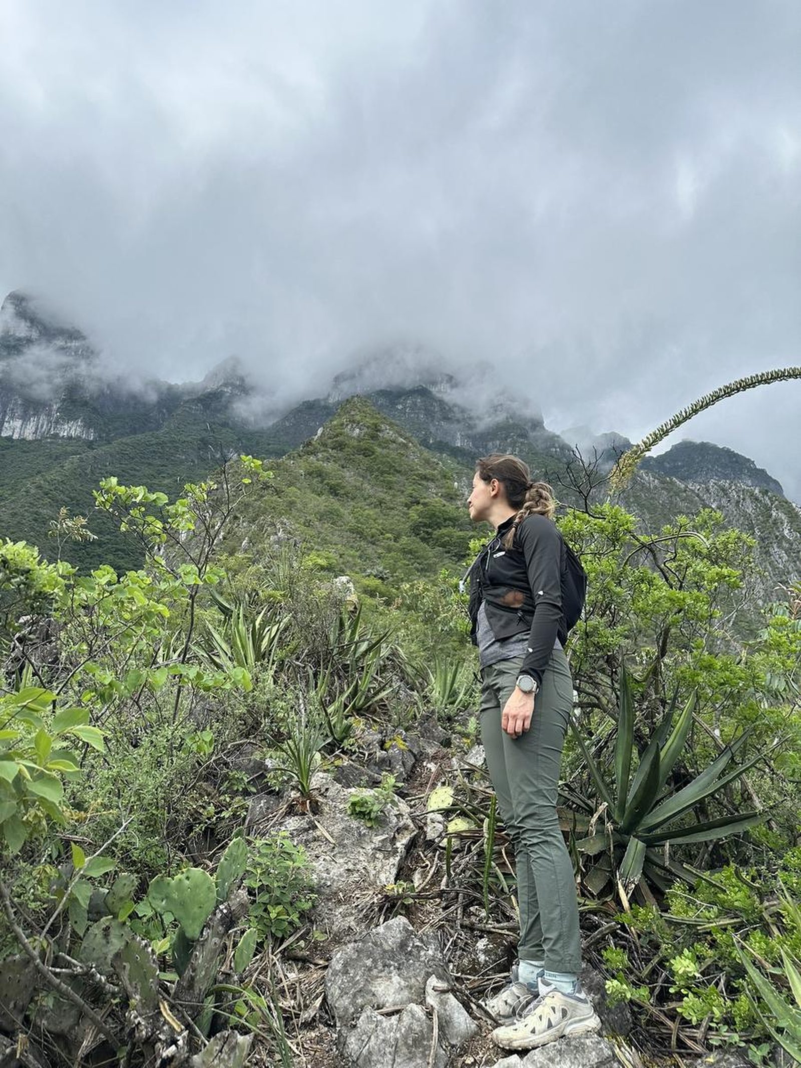
This route is located in the ANP Cerro de las Mitras; a destination very popular with hikers in the city, since it offers a lot of cumulative slope over relatively short distances.
📢 Alerts & Updates
This route can be done comfortably in any season of the year.
Warnings

Level
i
Packing List
How to get there
Trailhead Access
Starting from downtown Monterrey, you'll take Leones Avenue to the west. When you reach the roundabout after Plaza Cumbres, you will turn left (towards the hill) on Pedro Infante Street. You will continue climbing as far as you can, just before turning left towards Regio Cumbres, and that is the beginning of the path.
Parking Information
The parking lot is on the same avenue; let's avoid obstructing any access. At the beginning of the trail there is a space for 2 or 3 cars.
Fees & Park Hours
No cost
Trail Overview
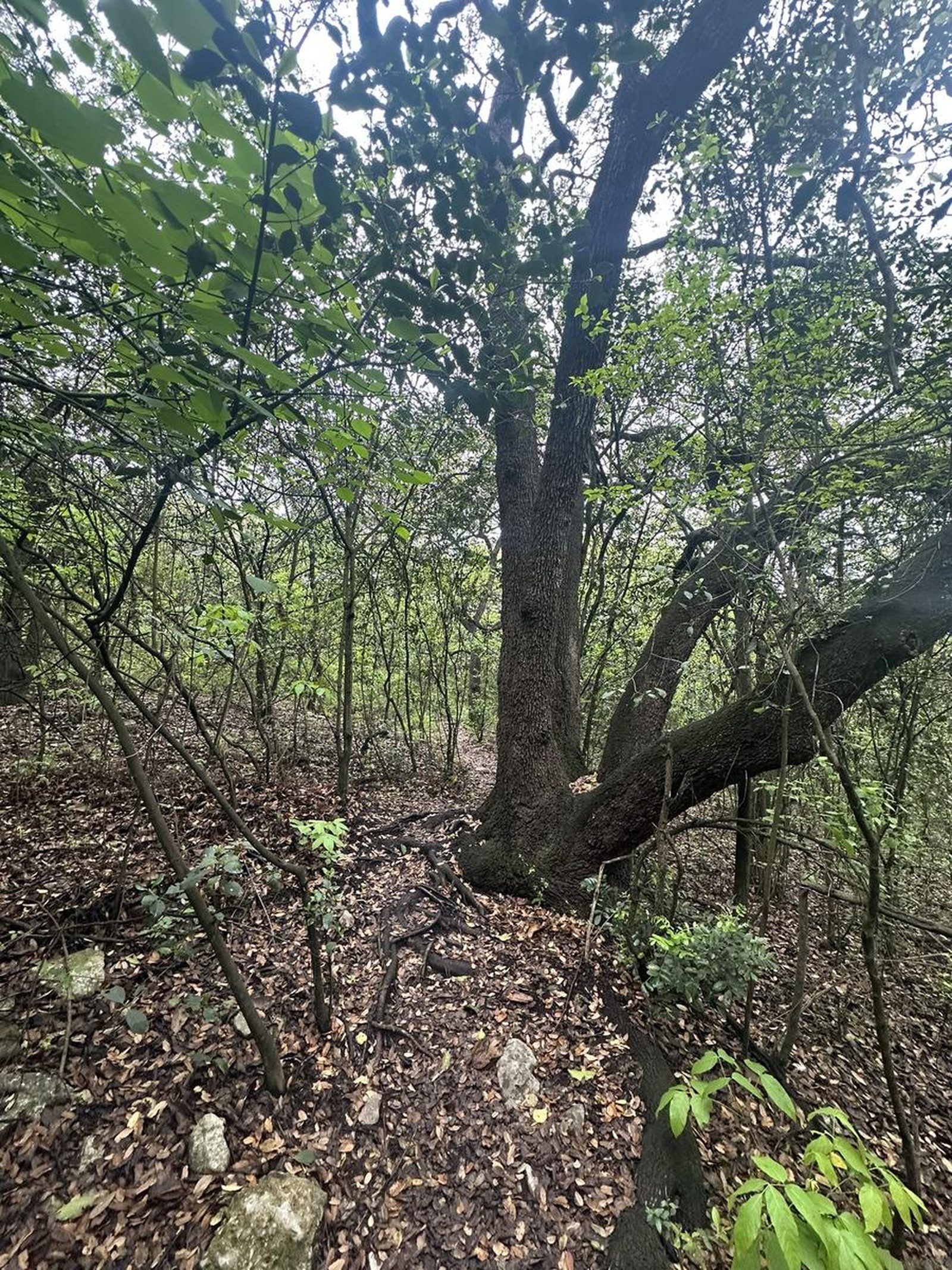
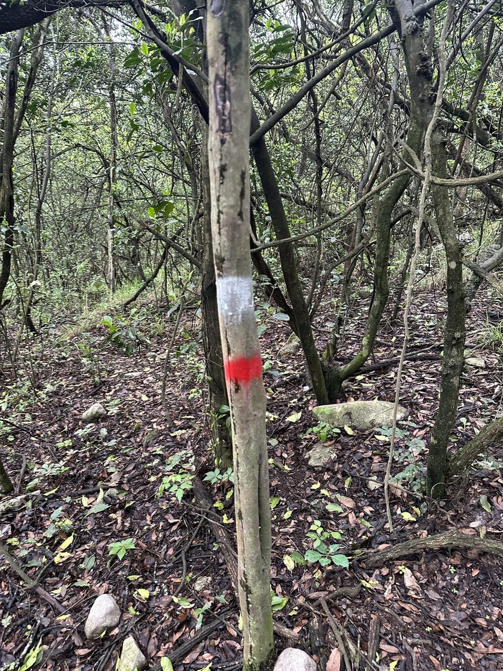
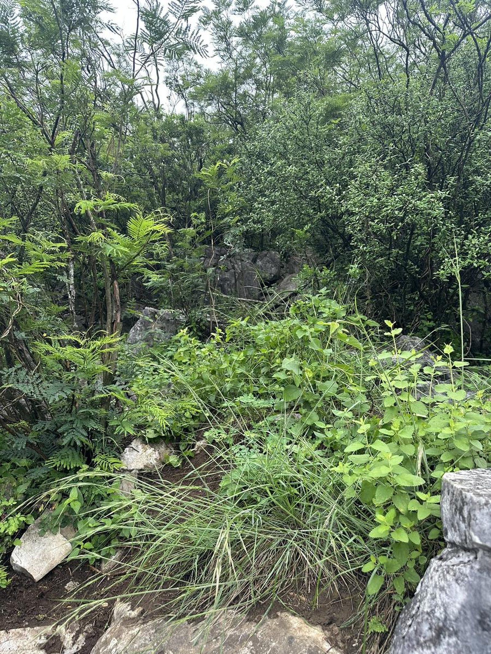
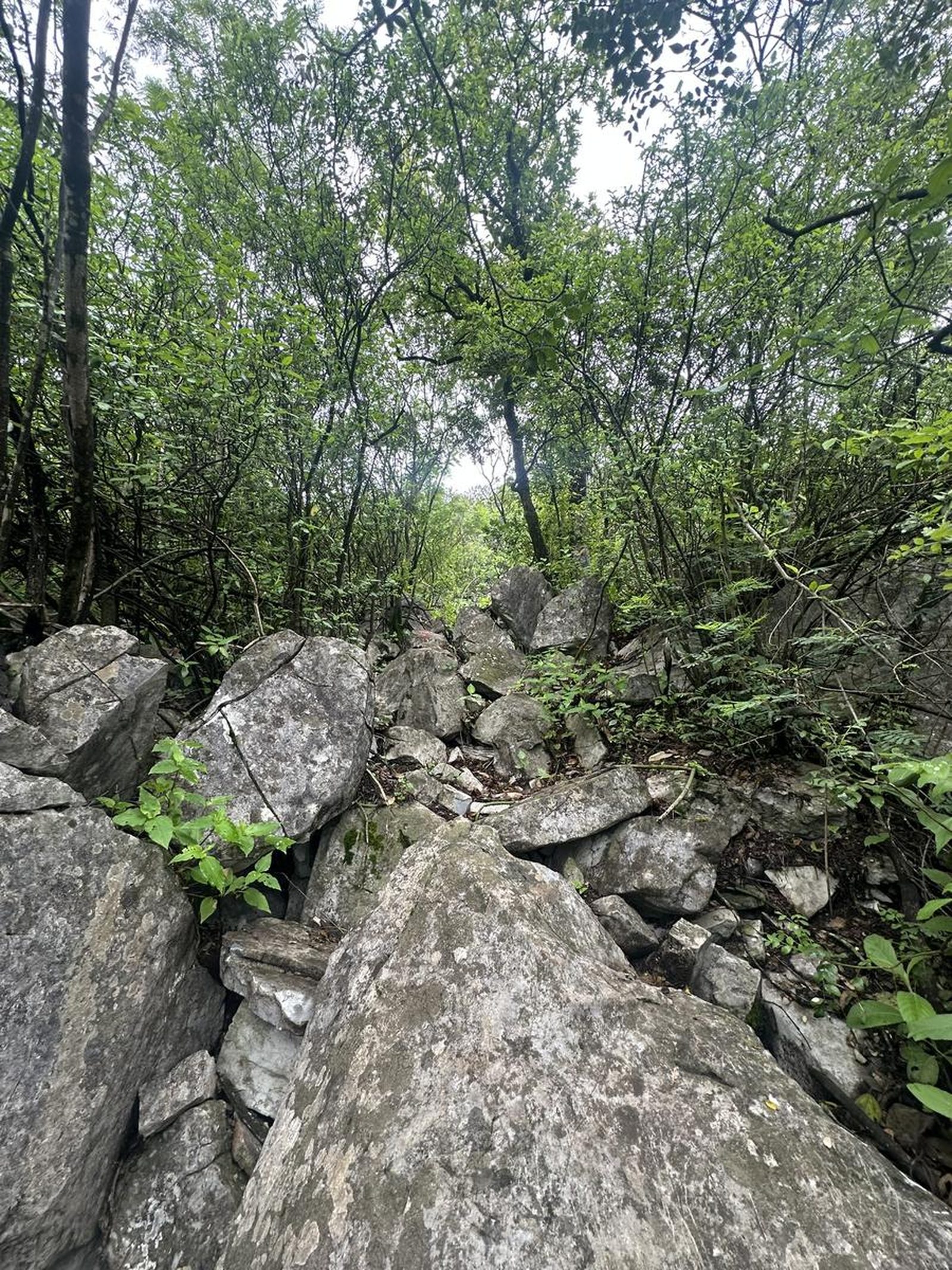
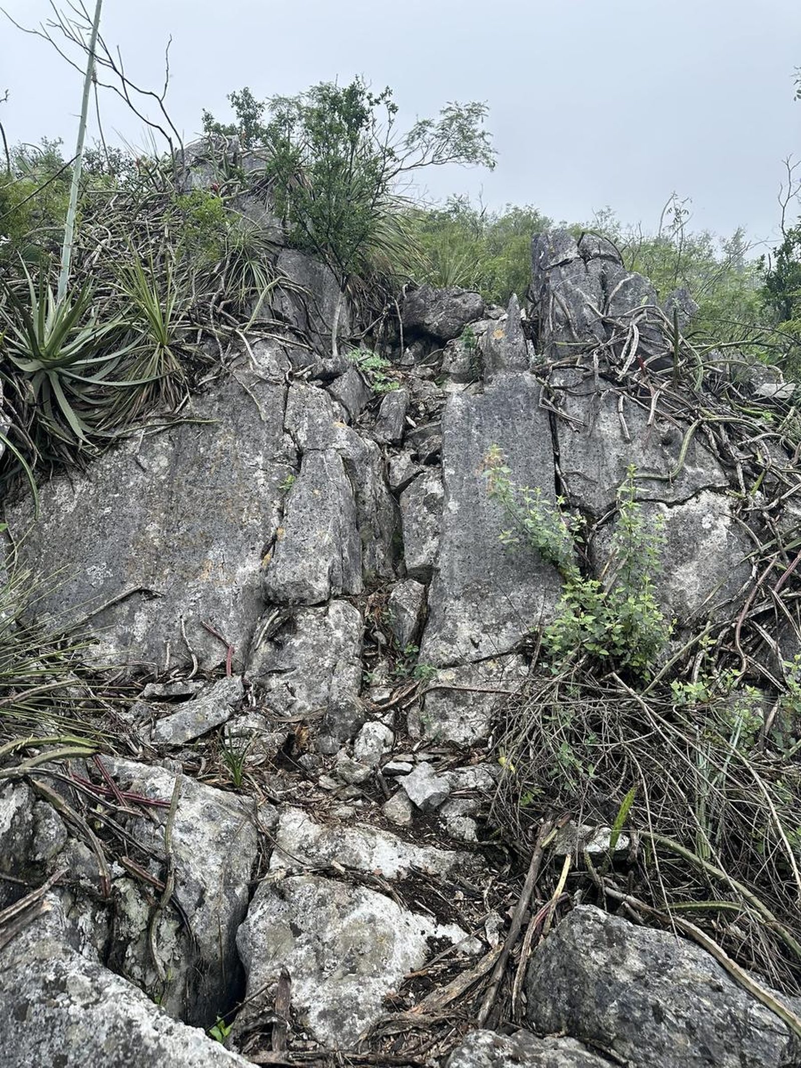
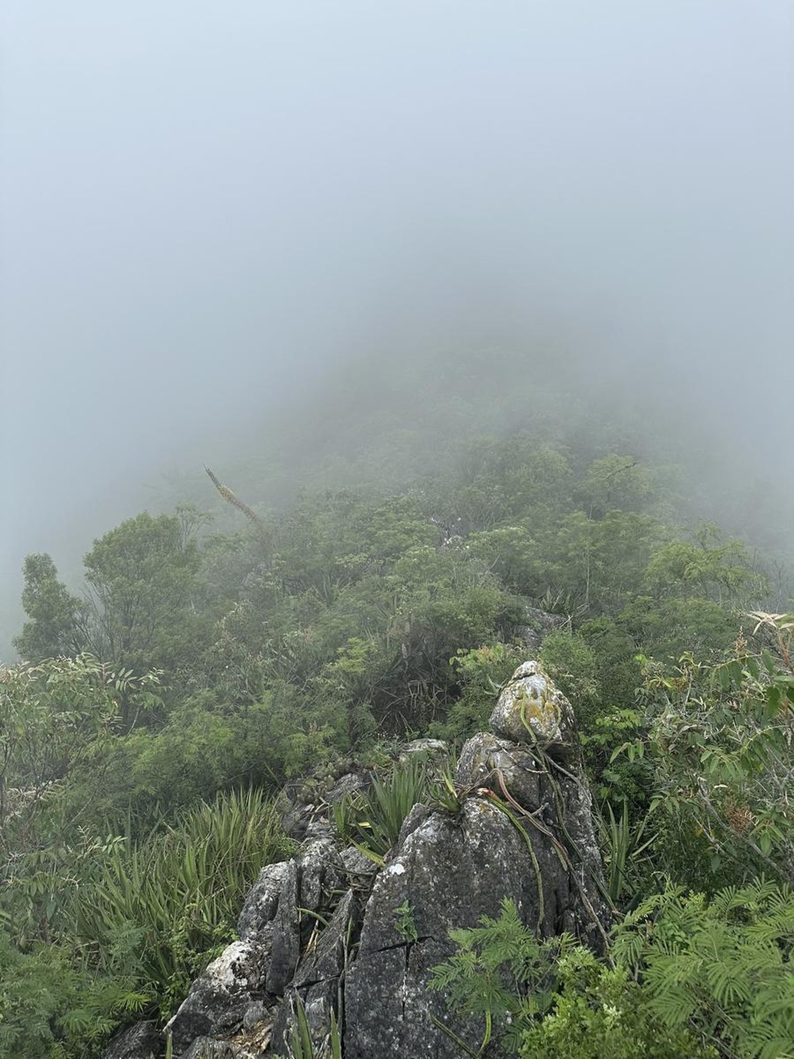
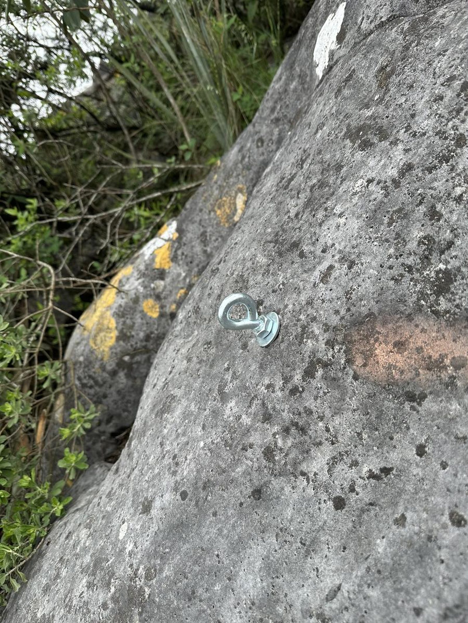
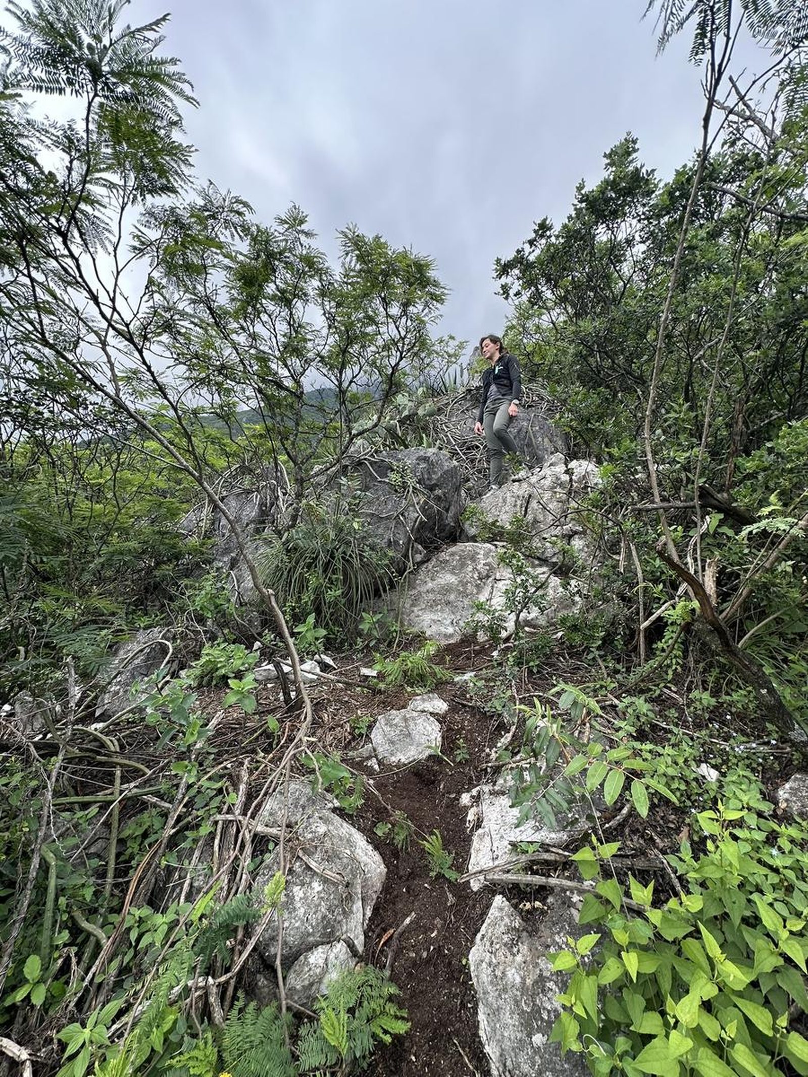
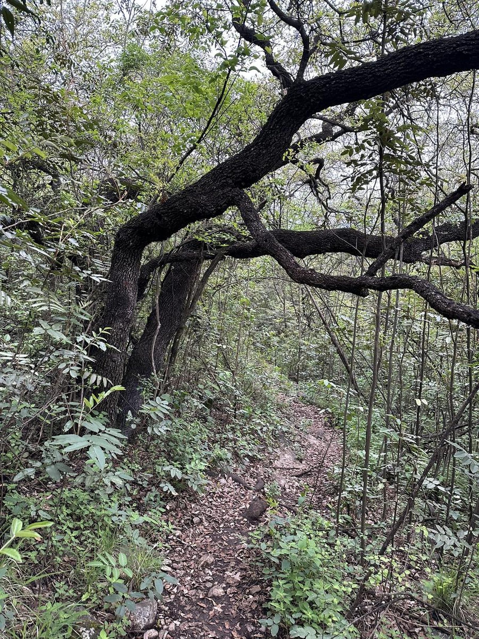
Moderate. It can be said that it is a recently created route, so there is still a lot of vegetation and the trail could be lost in some sections. There are some marks with paint on the rocks and you will also find slats sporadically.
Recommended Gear
- Hands free lamp (mining type) - Hiking sticks - Thermal blanket - External battery (PowerBank) - Sunscreen - First aid kit
What to Expect on the Trail
i
Elevation Gain
540 m
Total Distance (Out & back)
4.57 km
Total Time
1 h 54 m
Max Elevation
1331 m a.s.l.
Level 3 (scale from 1 to 10) where just over 540 m of unevenness accumulates in just 2.3 km of distance (climb only). The slope has been present since we started climbing, so it offers us very good physical activation. It can be said that this peak requires a little more physical condition than the Piquín and Lince Peaks, on the same hill.


