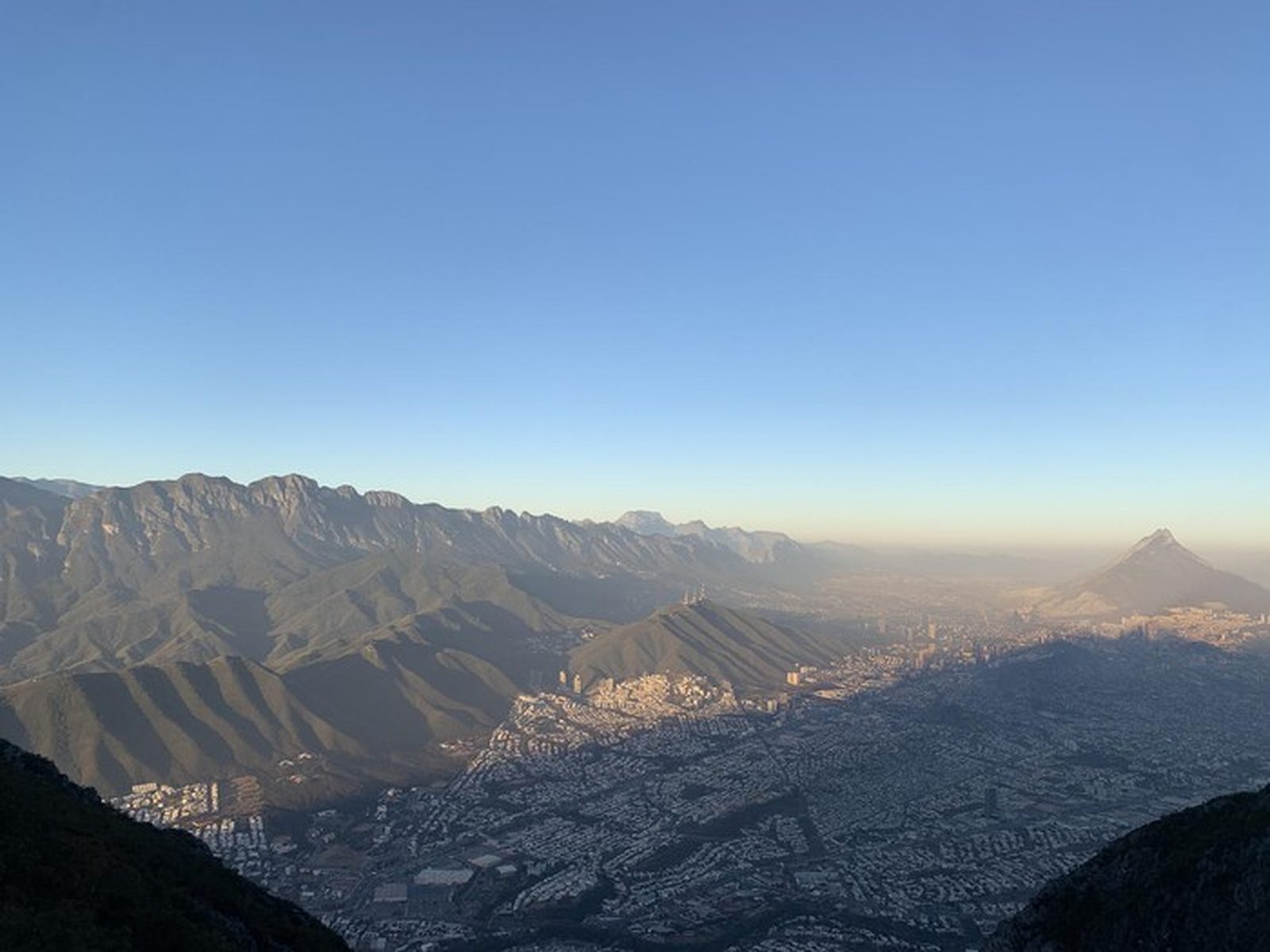
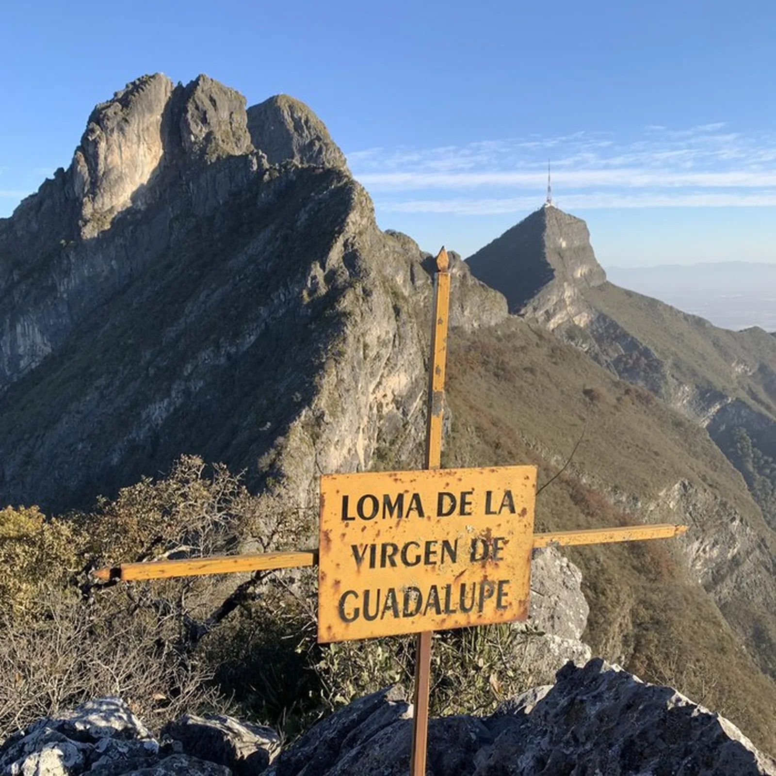
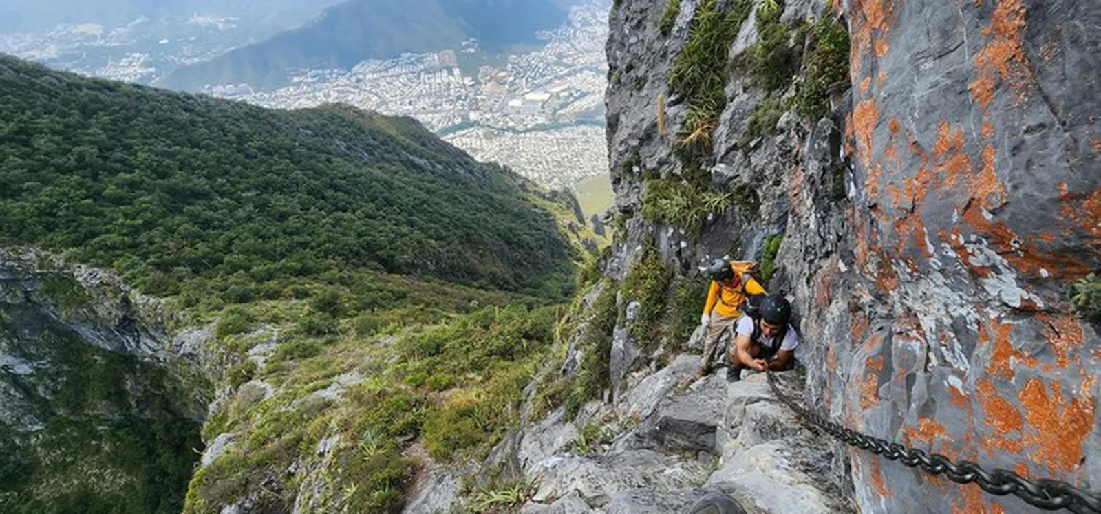
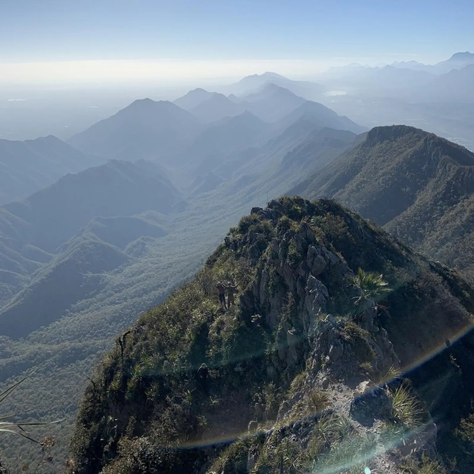
Pico Sur con Antena, Monterrey
Cerro de la Silla, Monumento Natural Cerro de la Silla
Zone: Cerro de la Silla guide
- Distance
- 8.7 mi
- Elevation gain
- 6594 ft
- Time
- 6 h 9 m
- Altitude
- no data
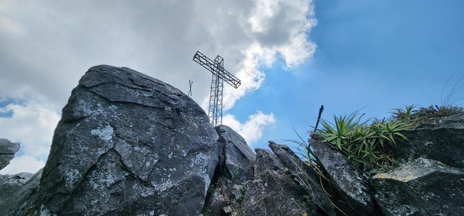
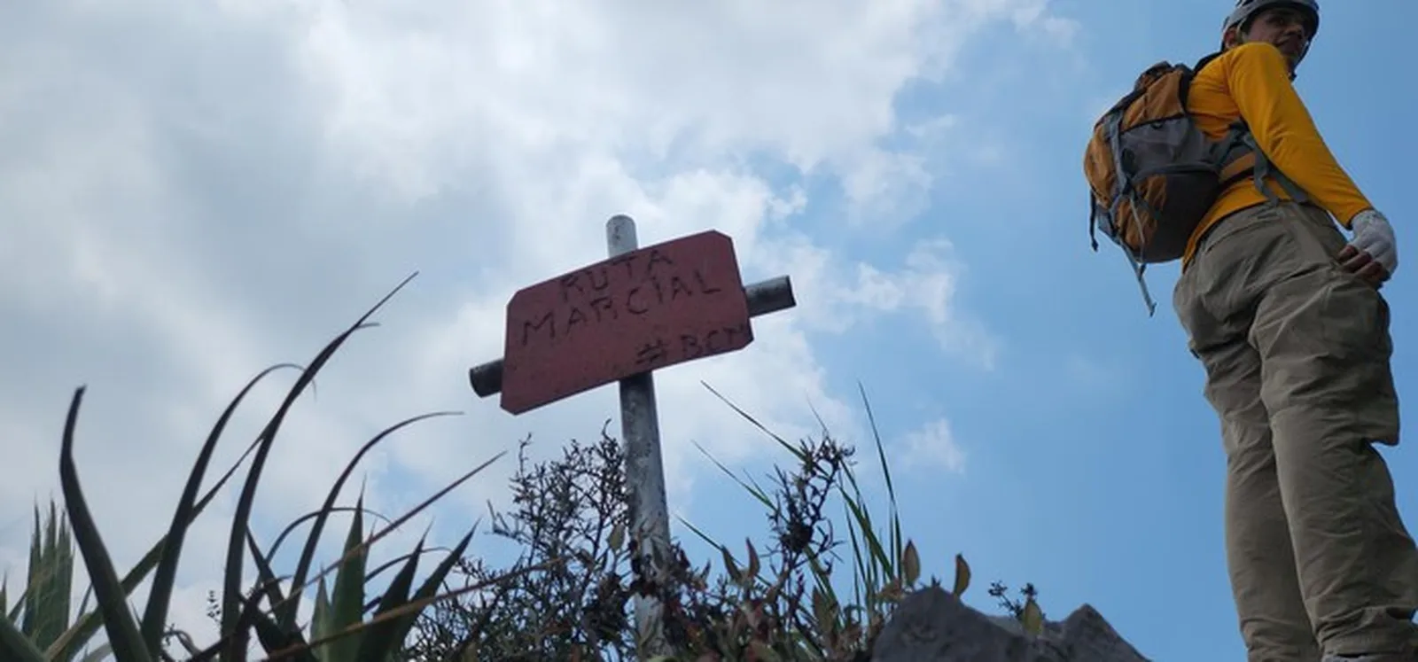
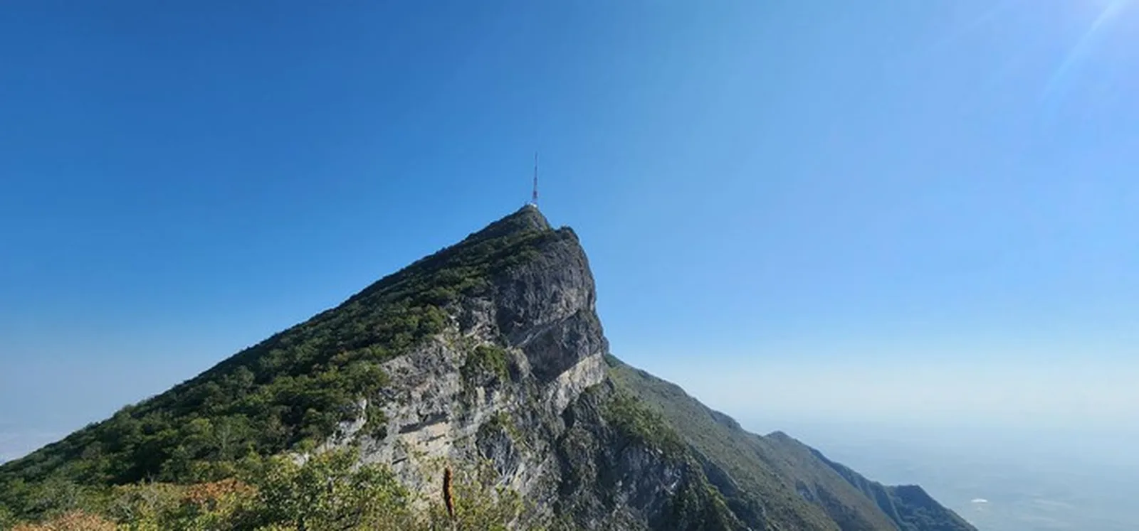
Loma de la Virgen + Pico Sur + Pico Antena on Cerro de la Silla. Three summits in 14 km with 2,010 m of elevation gain.
Warnings


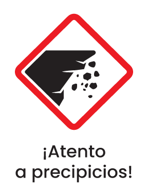
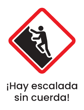

Level
i
Packing List
How to get there
Trailhead Access
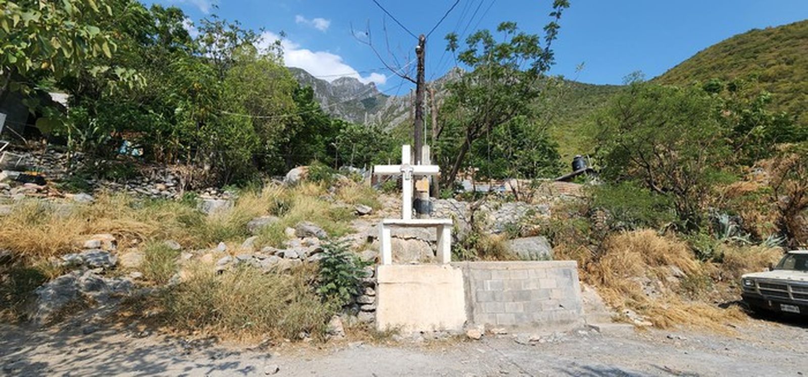
Drive to the Cerro de la Silla park entrance in Guadalupe, NL. Take Av. Alfonso Reyes toward Las Américas and park near the gated trailhead (Parque Hundido area).
Parking Information
Park along Av. Alfonso Reyes near the park gate; street parking is free.
Fees & Park Hours
No access fees.
Trail Overview
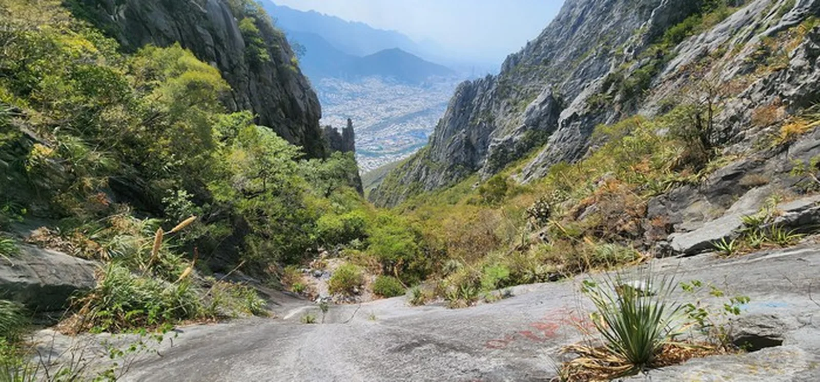
From the trailhead, climb to Loma de la Virgen first, traverse to Pico Sur, then continue to Pico Antena. Several intersections — follow Wikiloc.
Recommended Gear
Helmet, hiking poles, headlamp, power bank, sunscreen, first-aid kit. Nuts and dried fruit to provide enough good fats and protein (cranberries, almonds, mixed nuts). It is extremely important not to throw away or drop any kind of trash; consider carrying a bag to pack out your containers and any you find along the way.
What to Expect on the Trail
i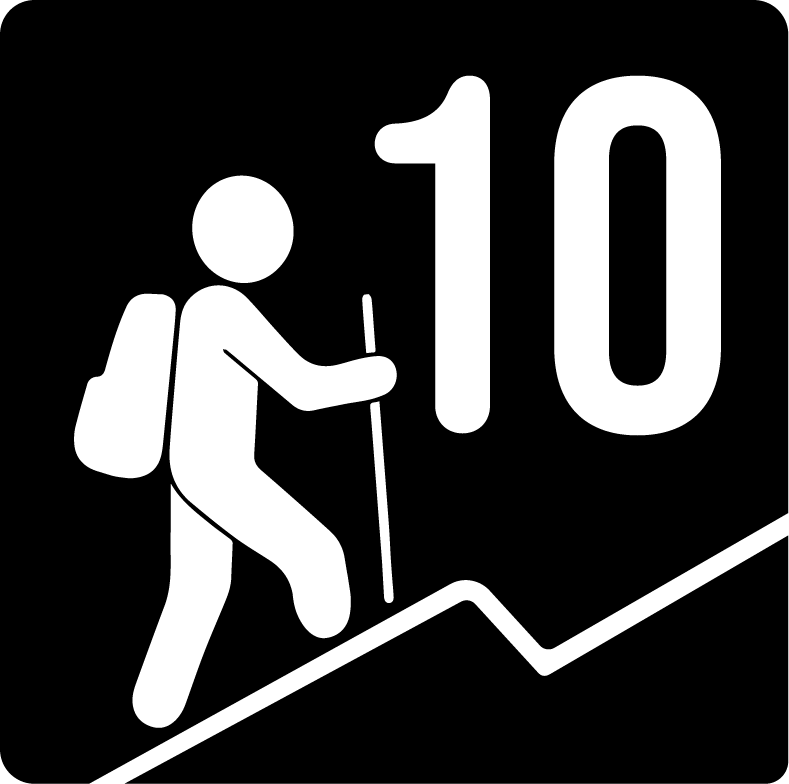
Elevation Gain
2010 m
Total Distance (Out & back)
14 km
Total Time
6 h 9 m
Max Elevation
no data
Level 10. The combined Loma de la Virgen + Pico Sur + Pico Antena route covers ~14 km with about 2,010 m of accumulated elevation gain. Long and very demanding.