
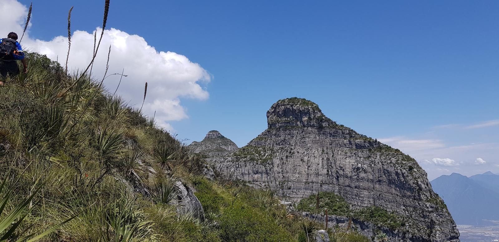
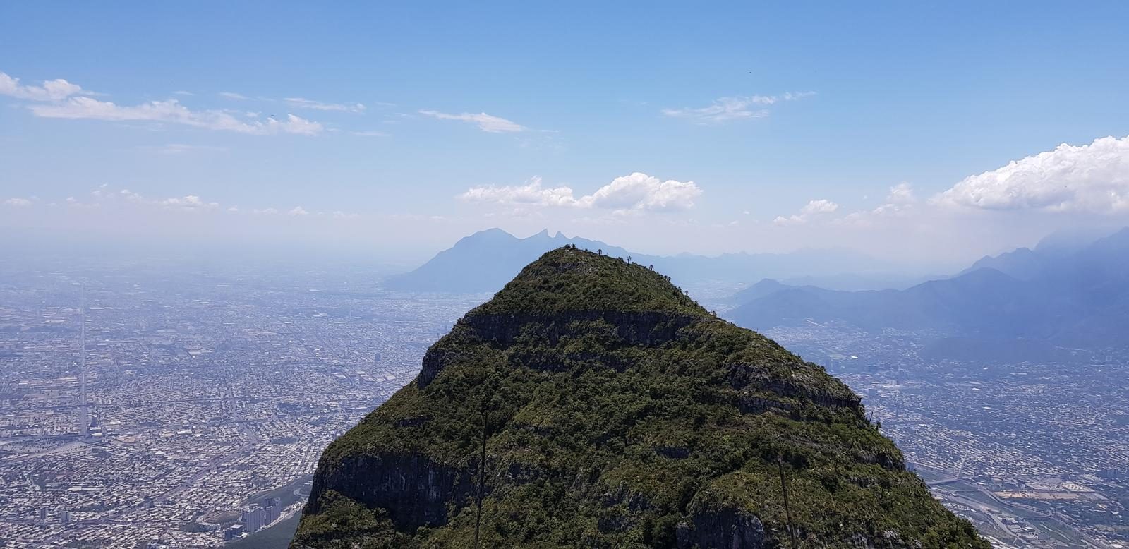
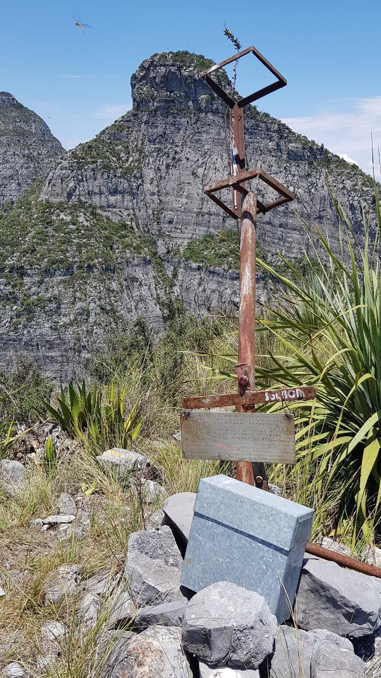
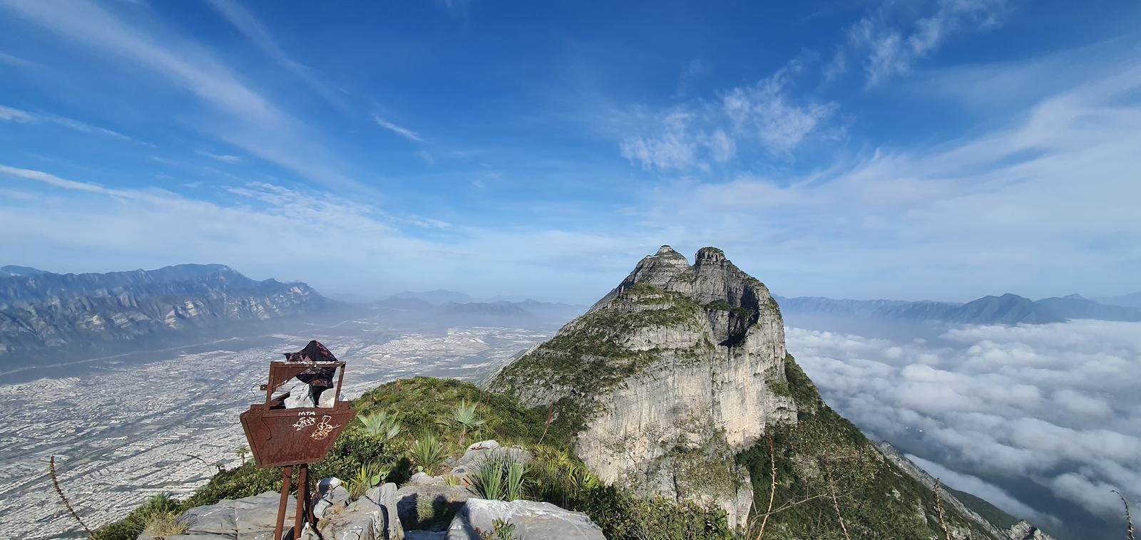
Picos Alfa, Monterrey
Reserva Natural Cerro de las Mitras
Zone: Cerro de las Mitras guide
- Elevation gain
- 4921 ft
- Distance
- 5.9 mi
- Time
- 4 h 36 m
- Altitude
- 6227 ft
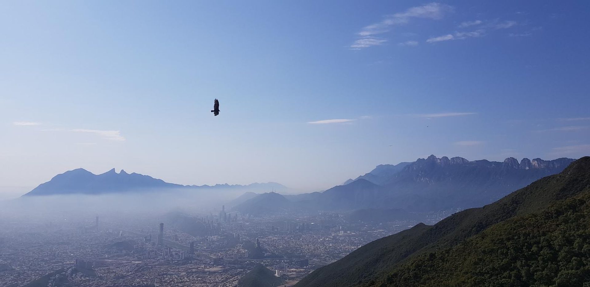
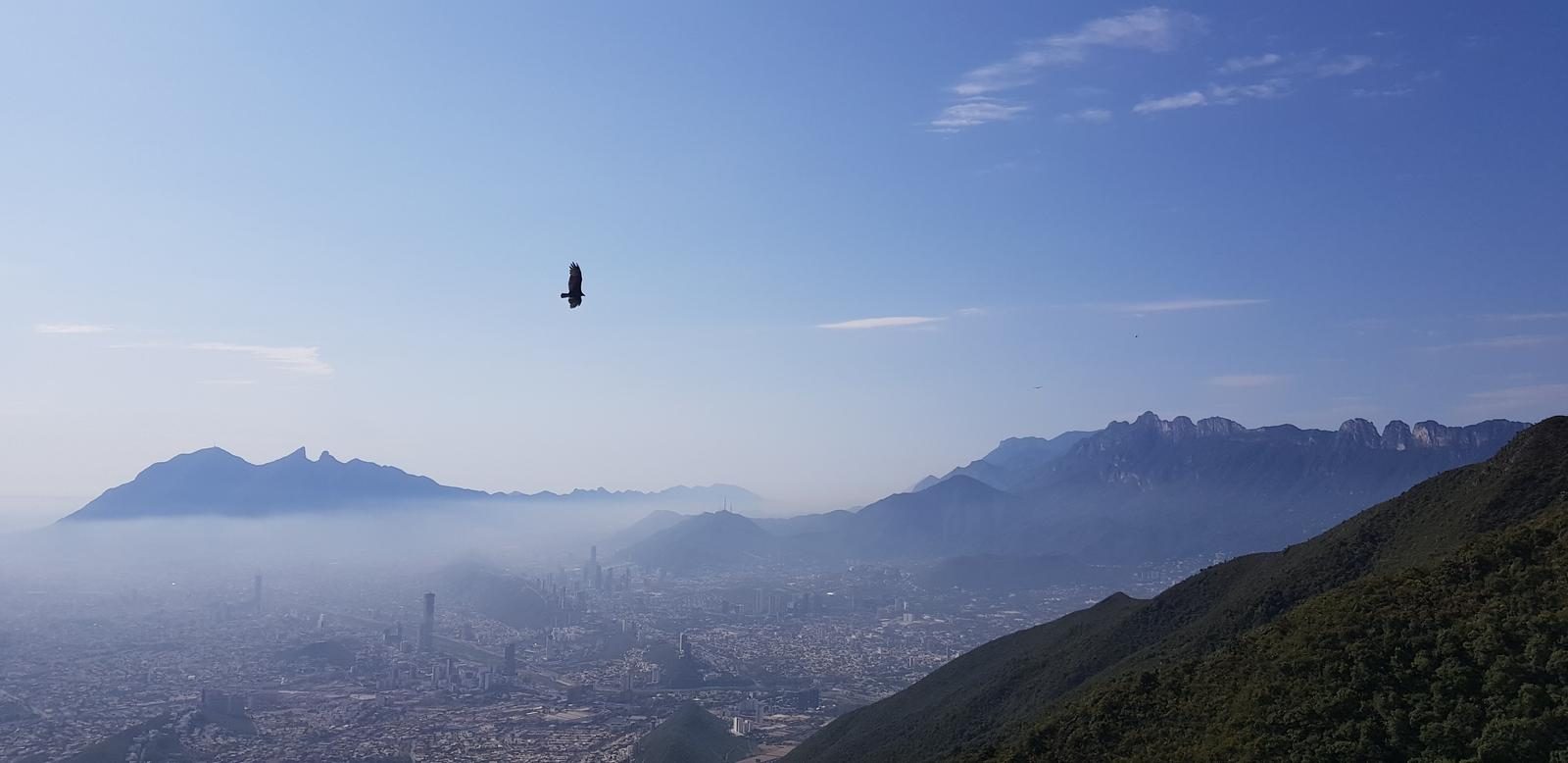
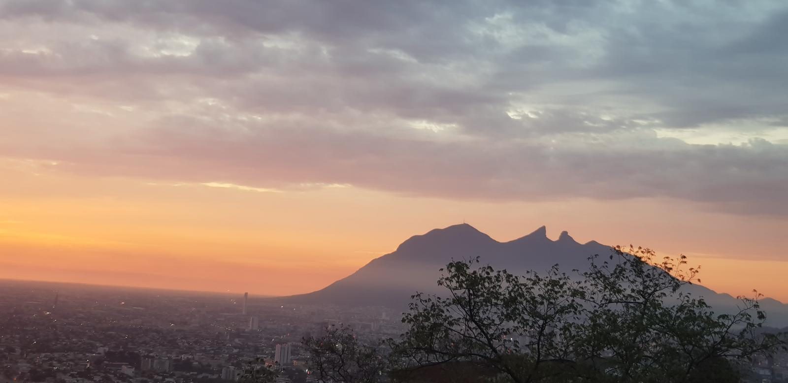
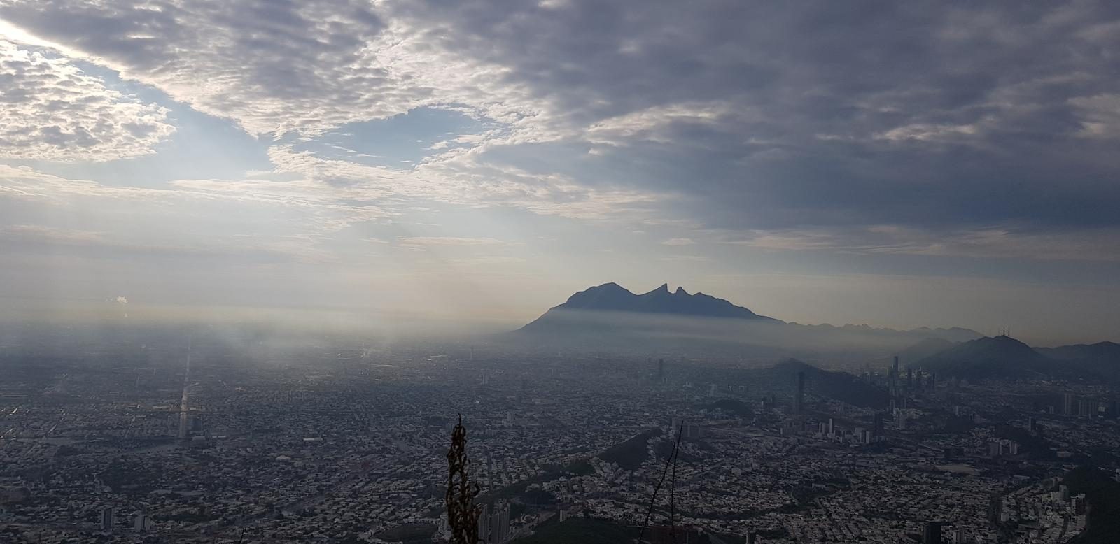
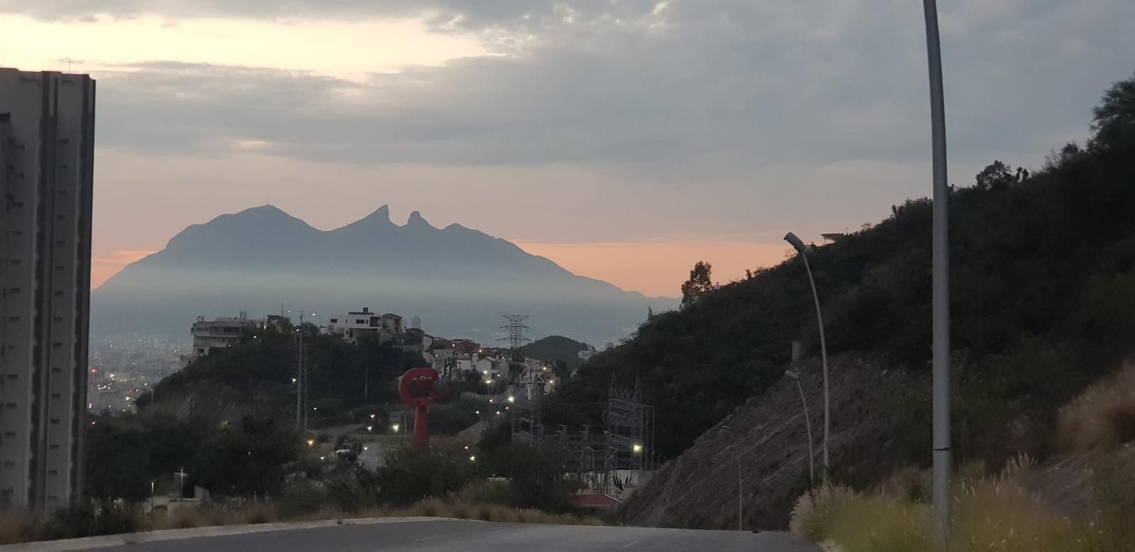
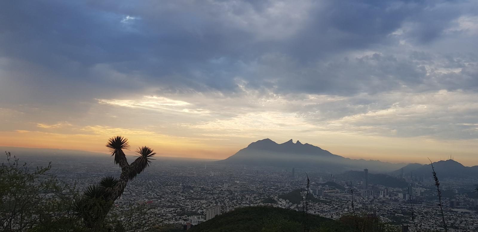
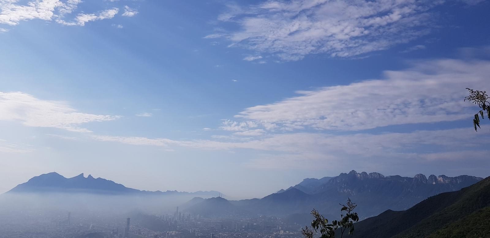
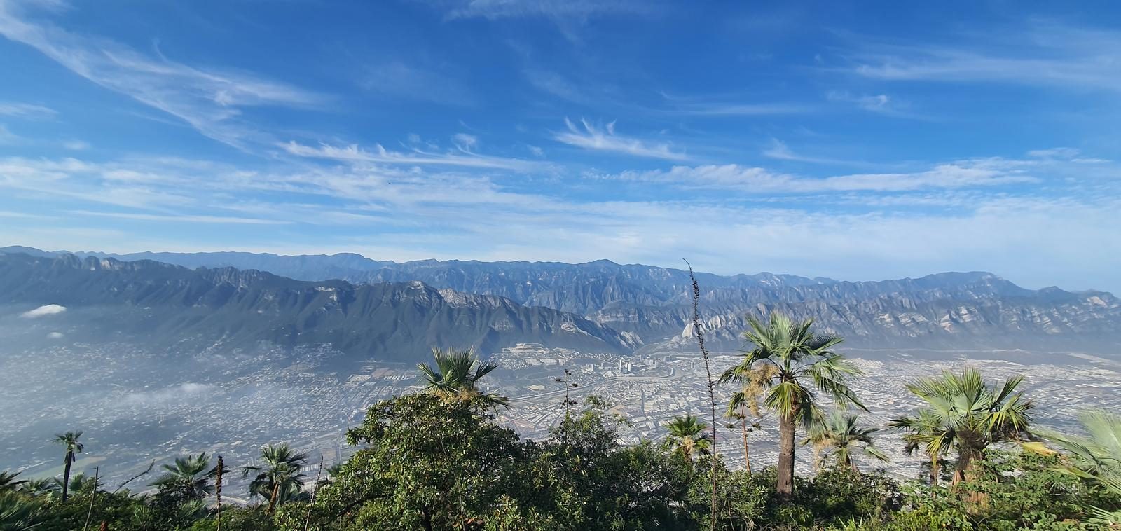
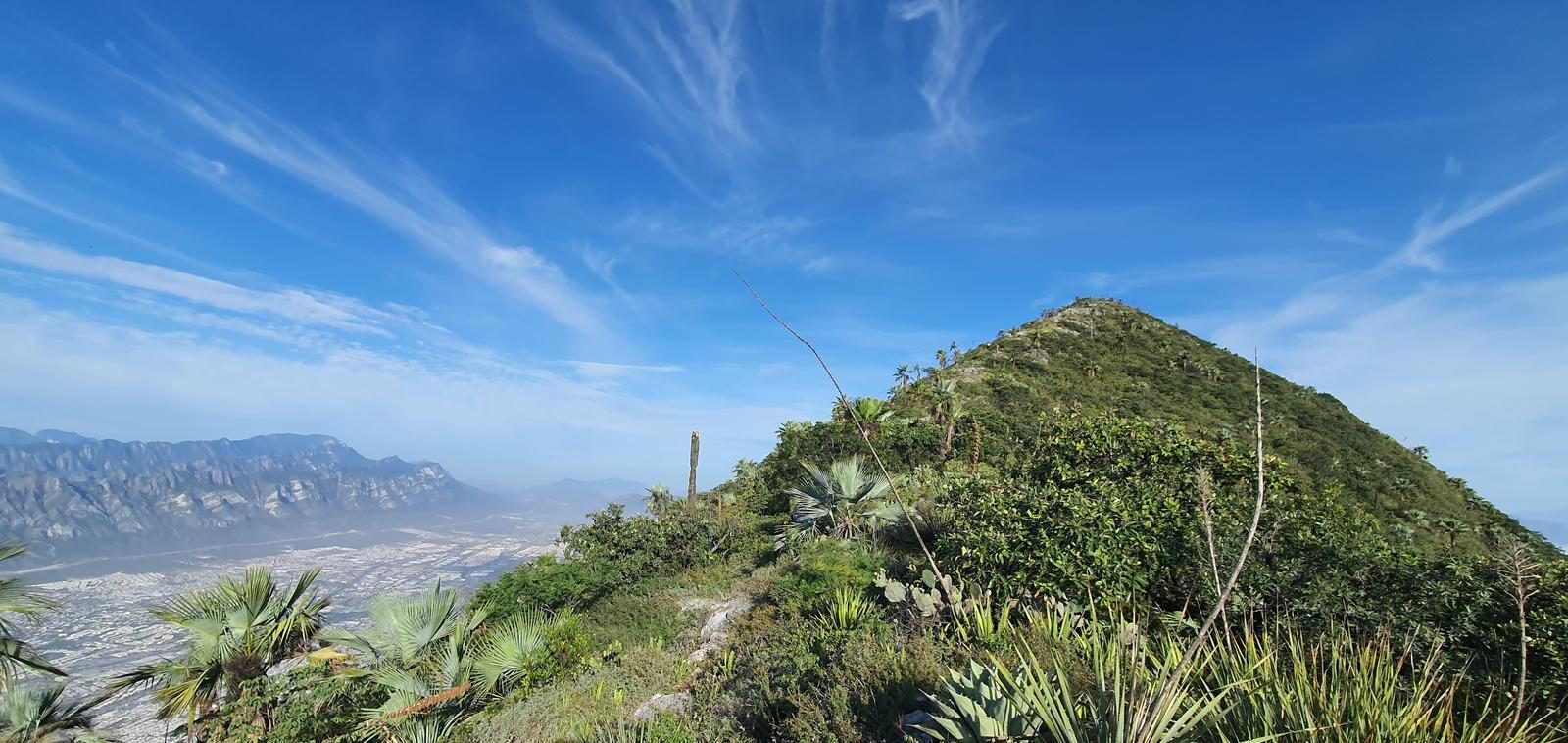
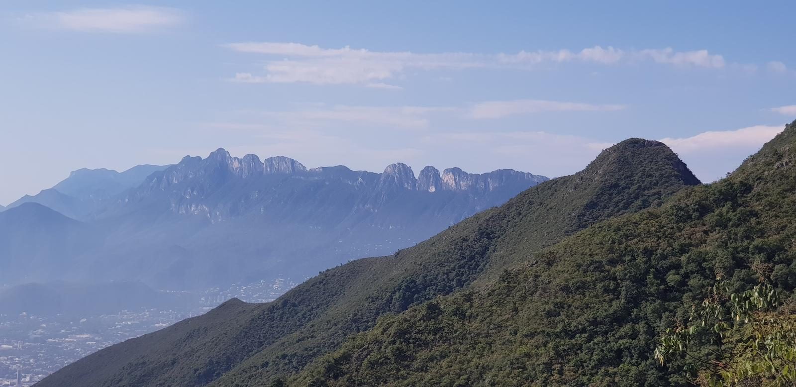
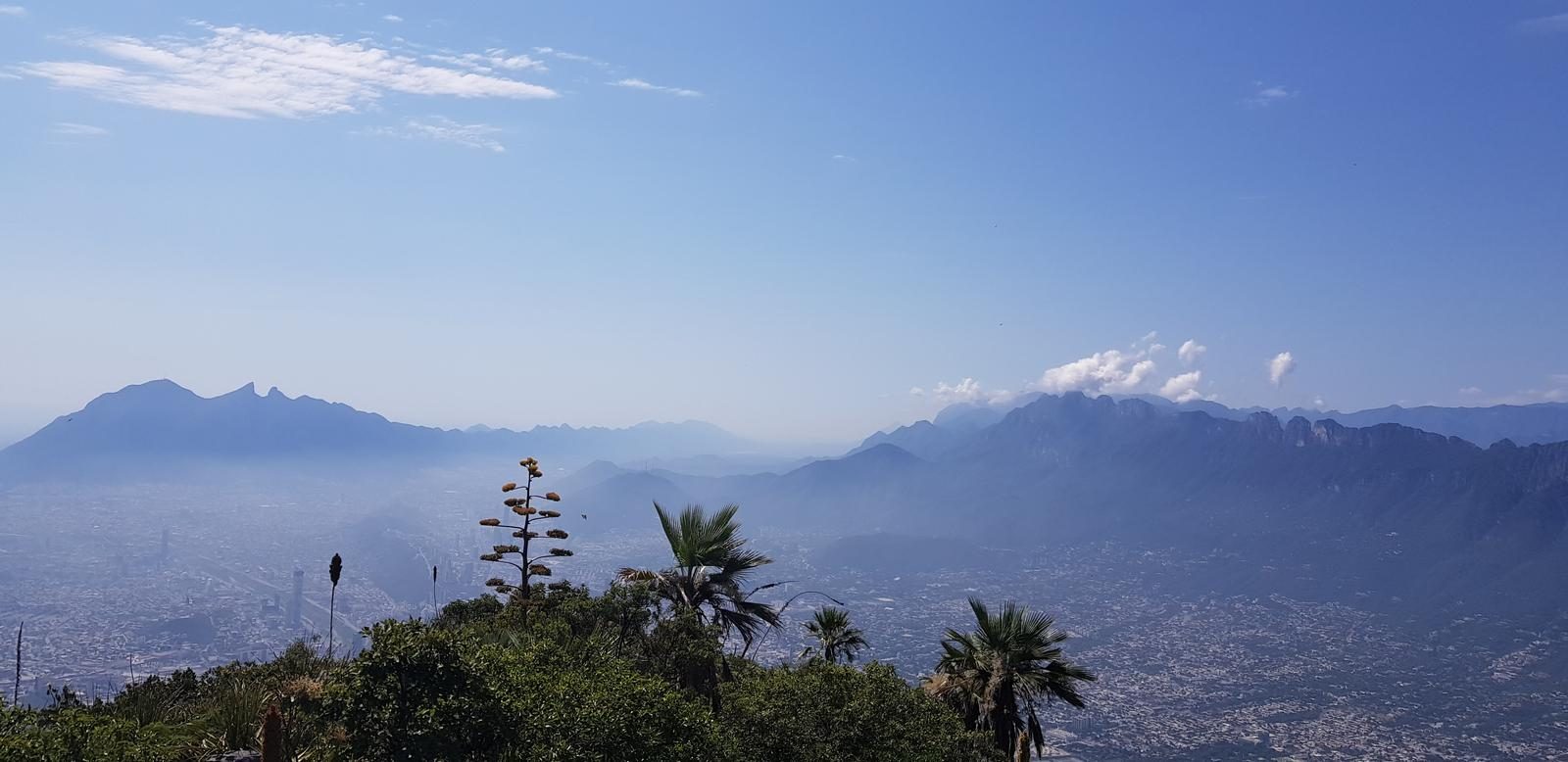
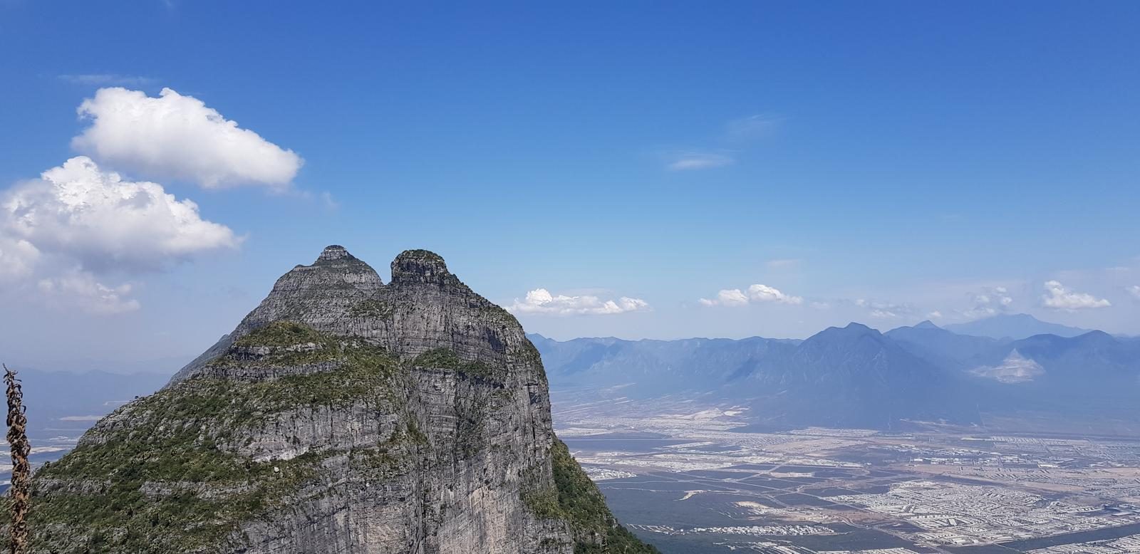
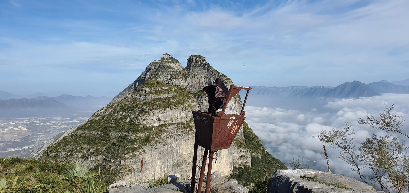
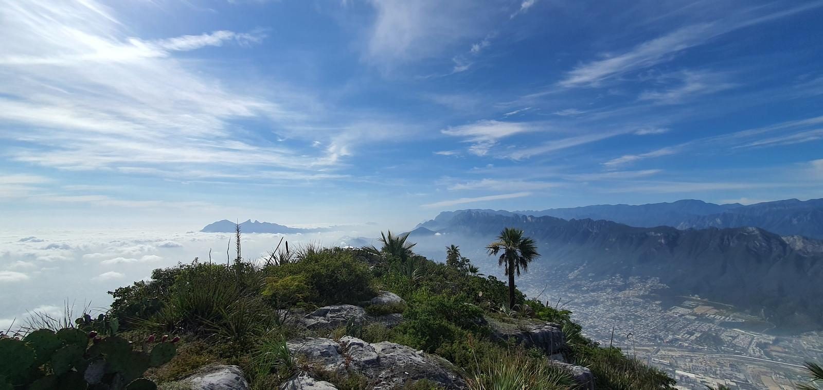
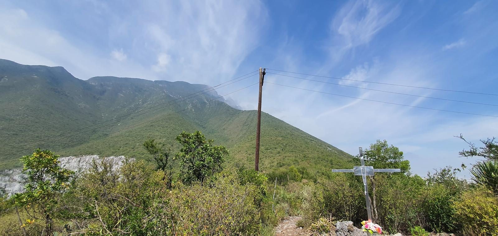
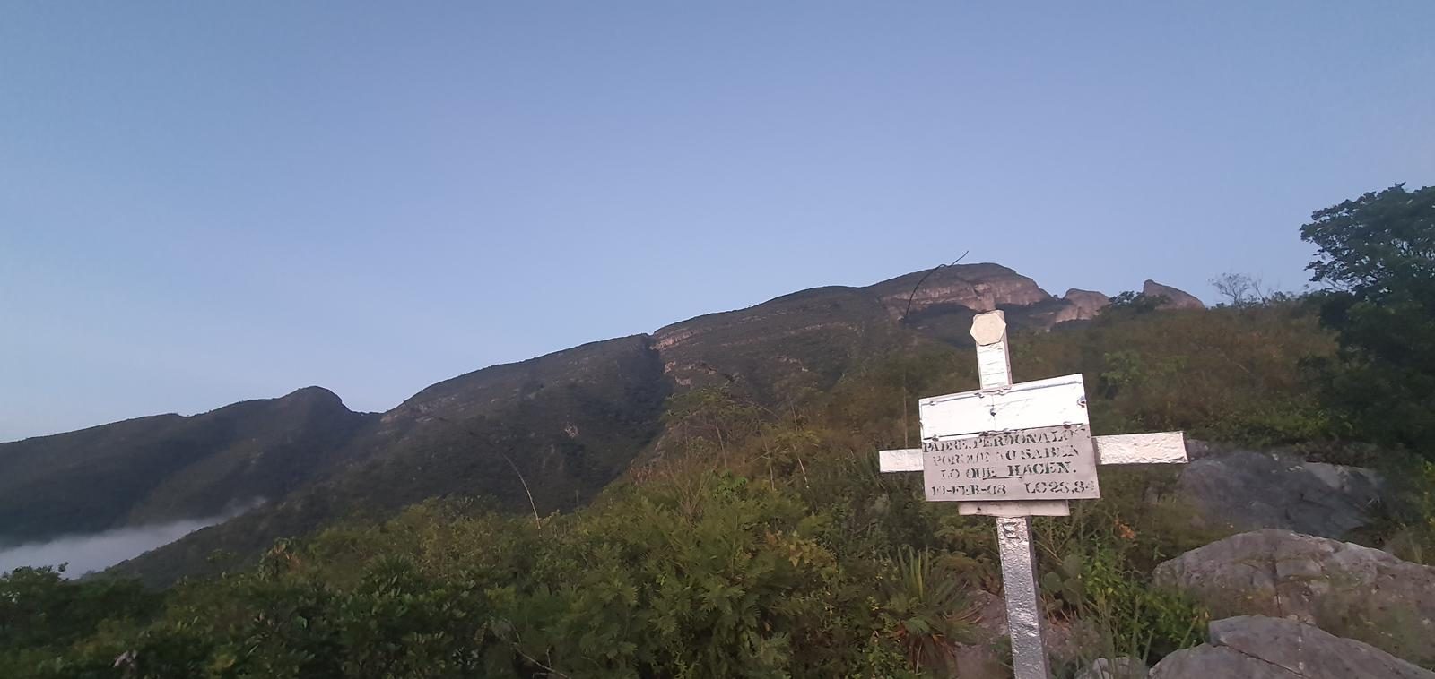
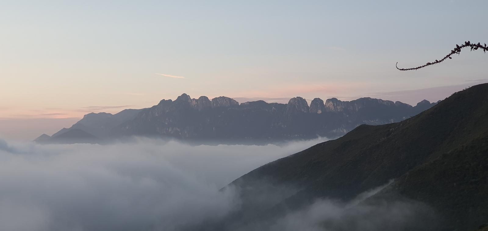
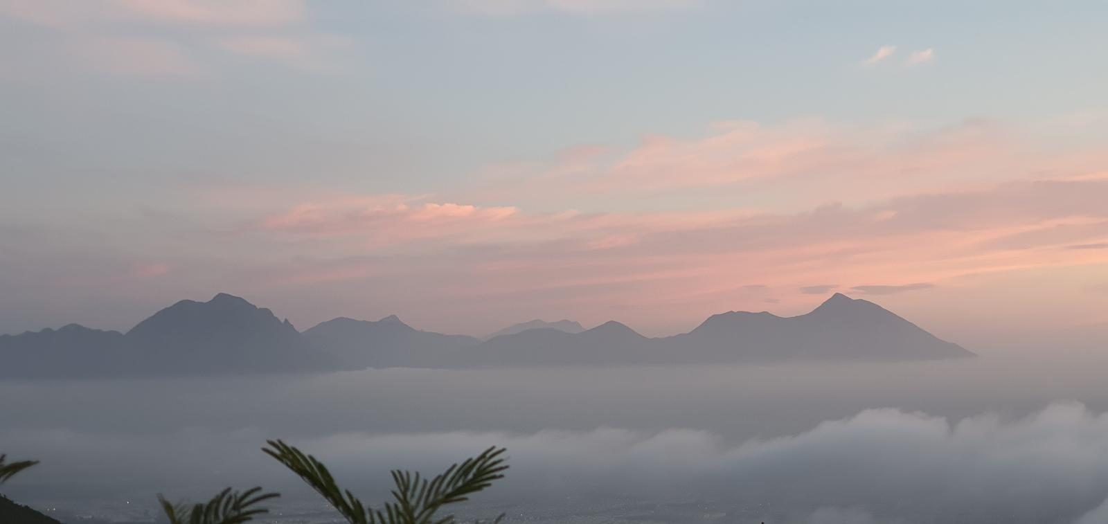
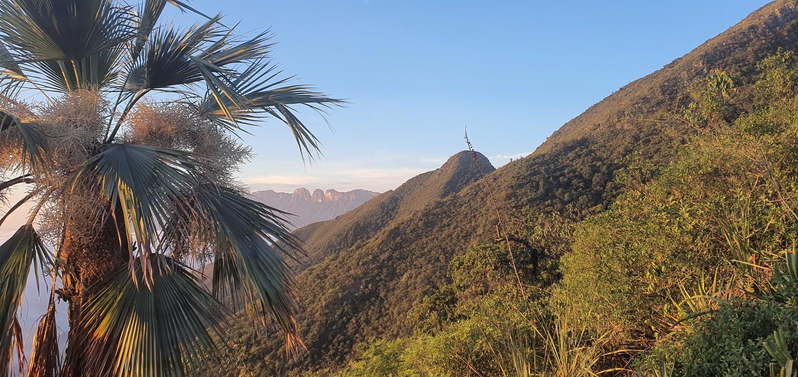
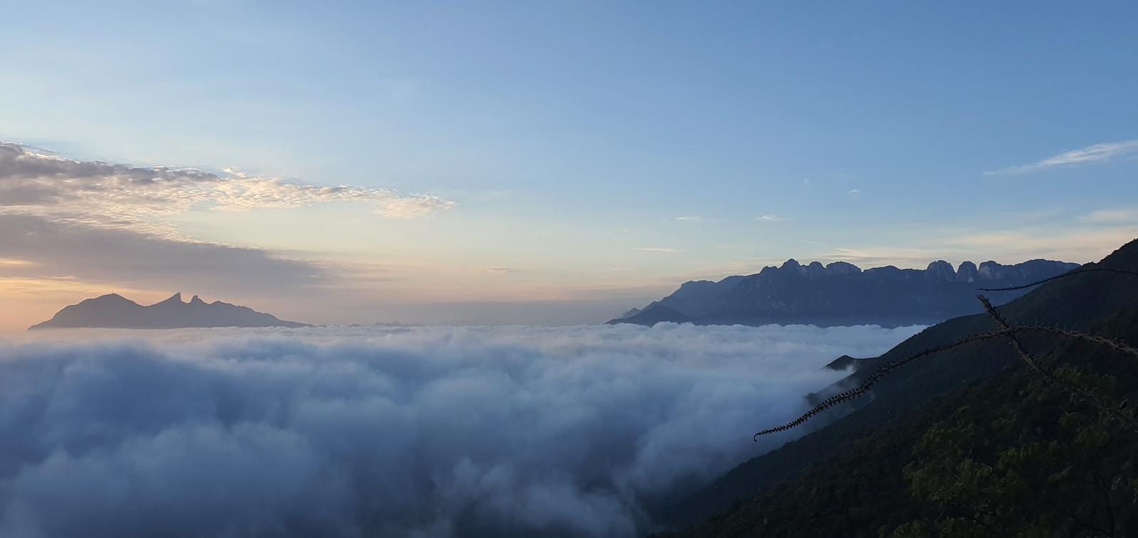
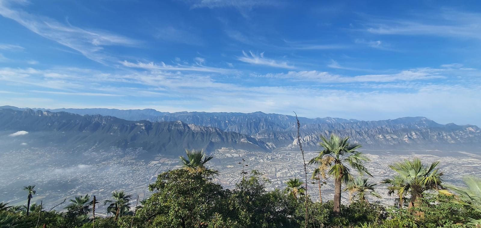
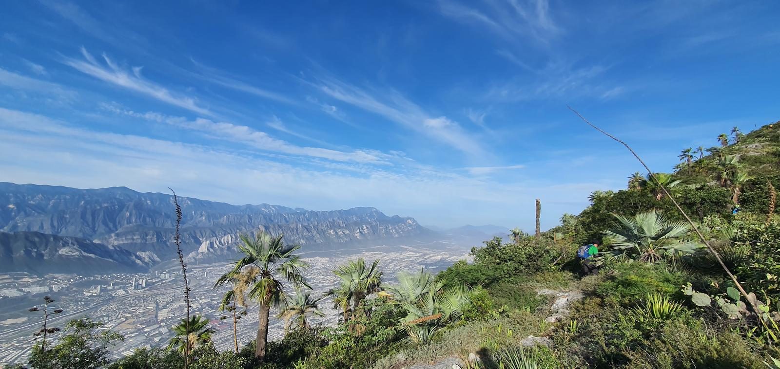
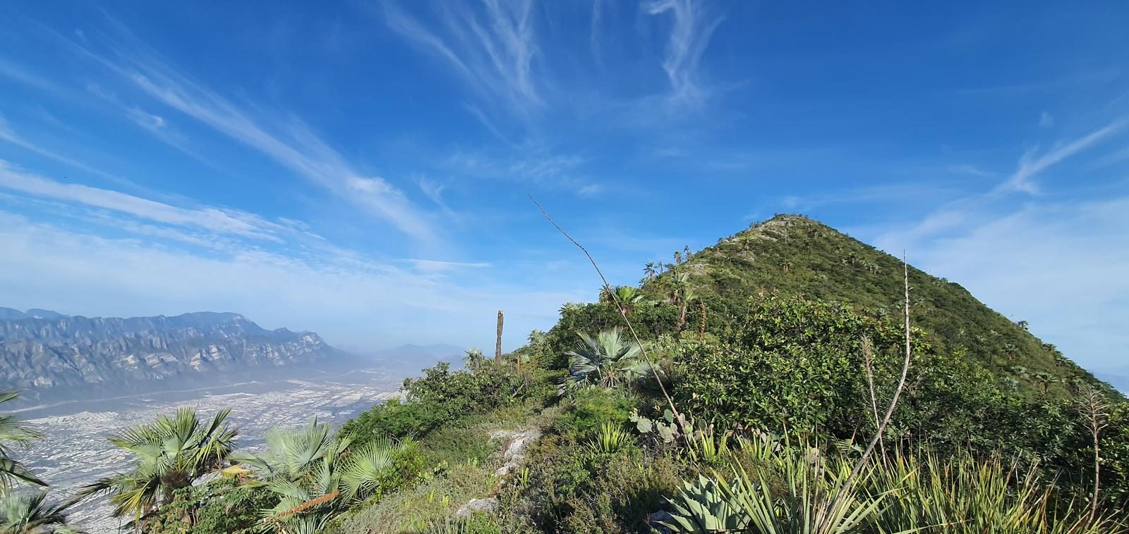
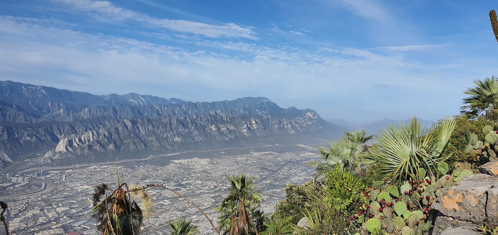
Pico Alfa is the first of the seven peaks of the Cerro de las Mitras and the one that offers the best views of the city of Monterrey.
📢 Alerts & Updates
It is recommended to visit this summit in autumn or winter seasons, when temperatures are colder. Avoid in hot or hot seasons.
Warnings
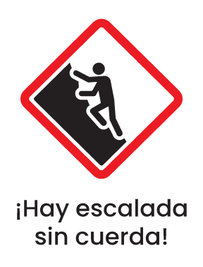
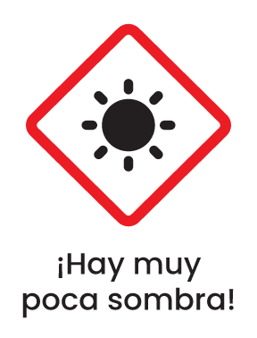
Level
i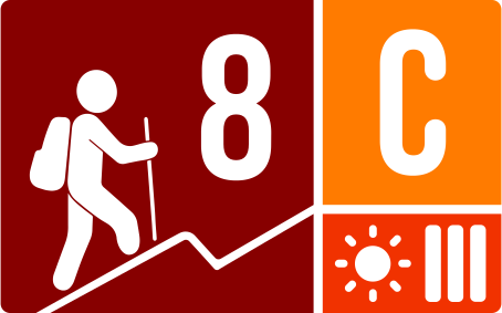
Packing List
How to get there
Trailhead Access
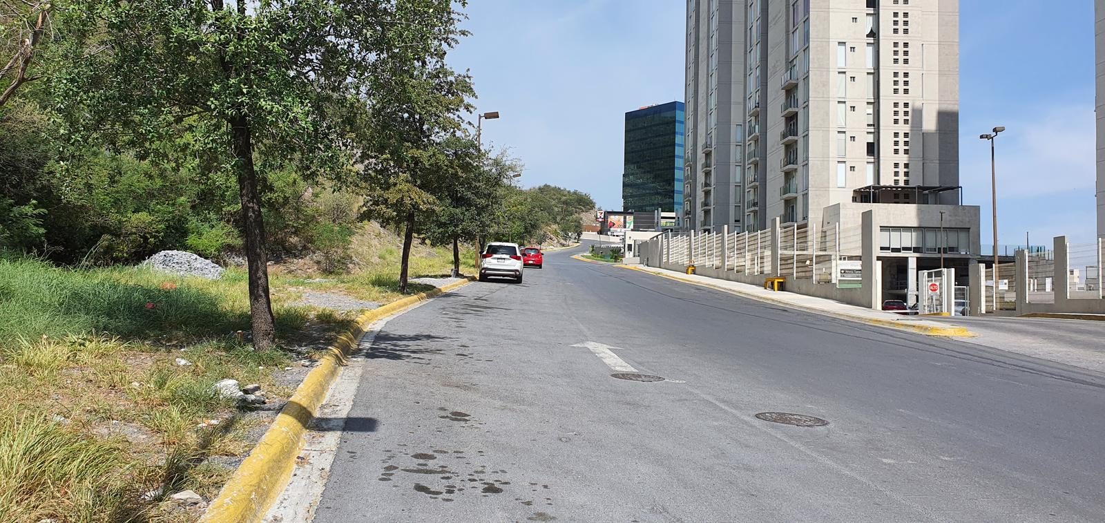
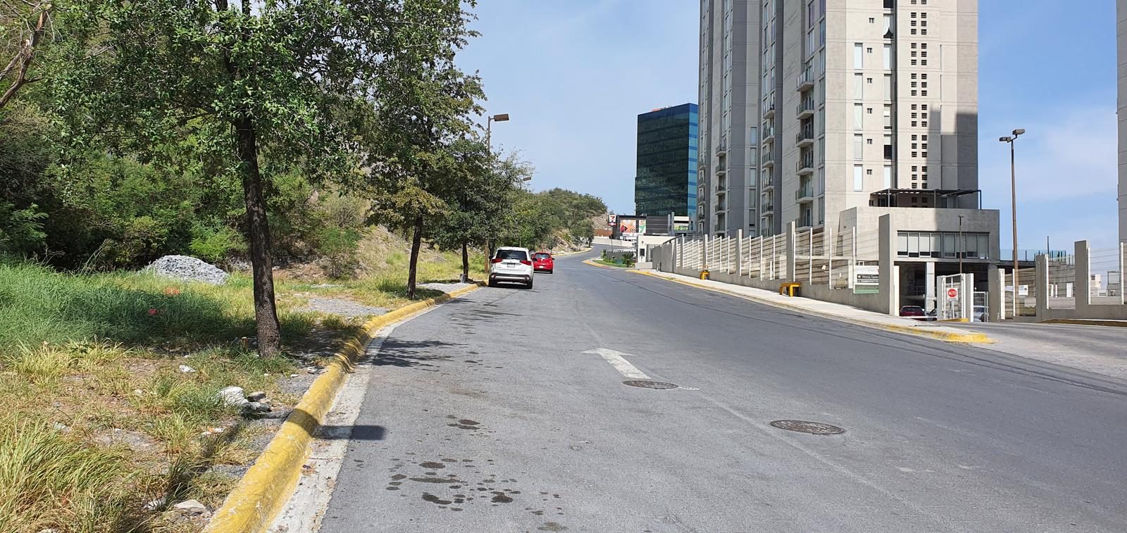
The start of the route is just before Residencial Dinastía, in the Puerta del Sol extension. Coming from Galerías Monterrey, you have to go to the San Jerónimo neighborhood, whose main avenue is Puerta del Sol. From there, it's all right to the northwest (towards Cerro de las Mitras, then). We cross below Rogelio Cantú Gómez Avenue and we will arrive at an apartment area (before Residencial Dinastía). I understand that you can also start with the VIA1/VIA2 squares, but in this case we started with the Puerta del Sol extension.
Parking Information
There is plenty of parking space on Avenida Prolongación Puerta del Sol Norte, as there is a streetcar in the center of the avenue and traffic is not obstructed when parking there. The recommendation would be to try to park on the trail in front of the apartments (obviously without obstructing any access or free traffic on the avenue). Since the Puerta del Sol extension to the south is very unpopulated and could be an area prone to theft.
Fees & Park Hours
No cost
Trail Overview
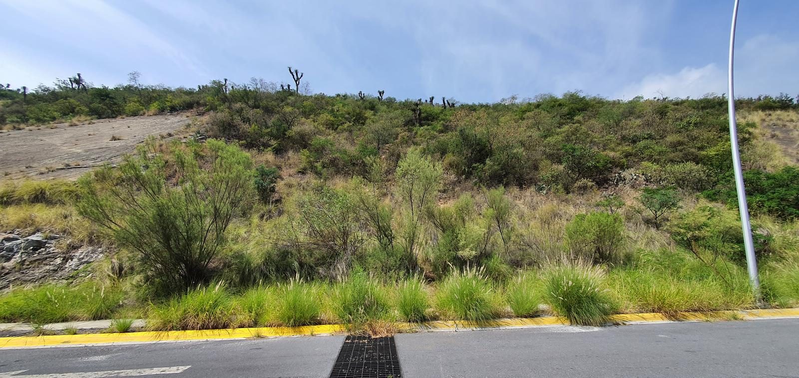
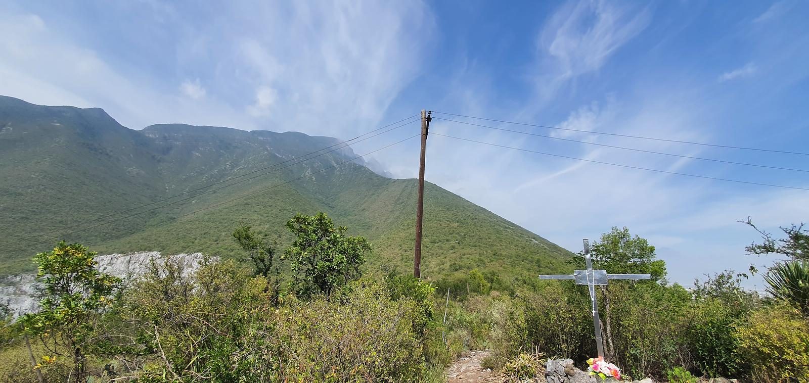
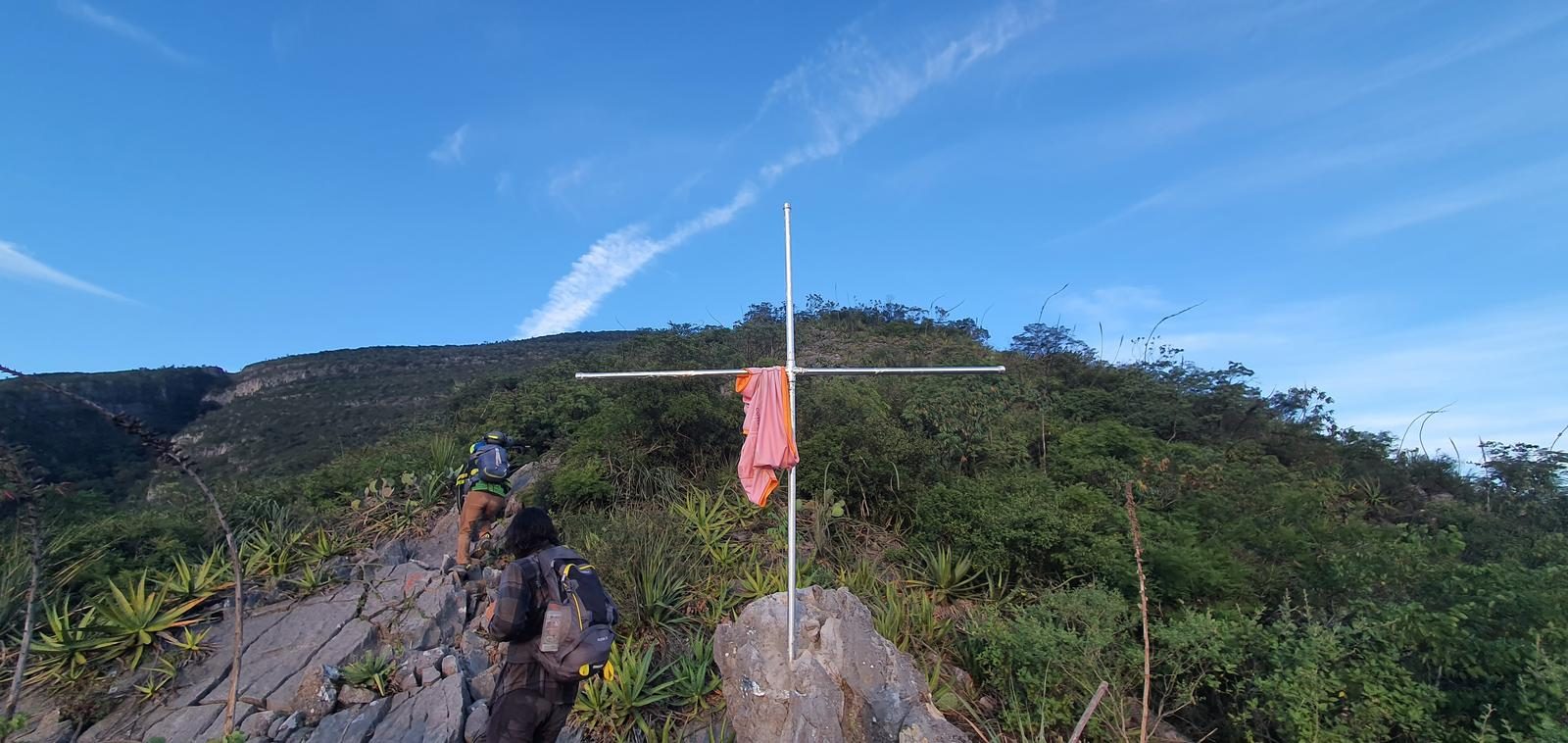
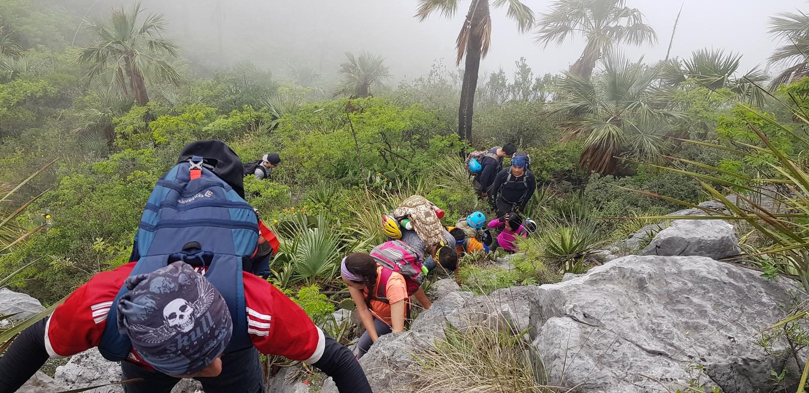
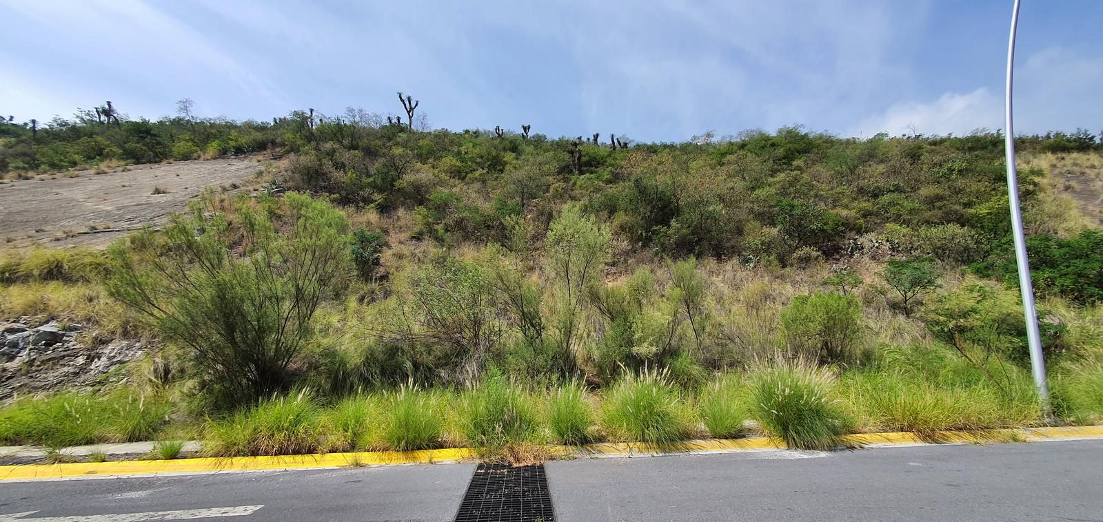
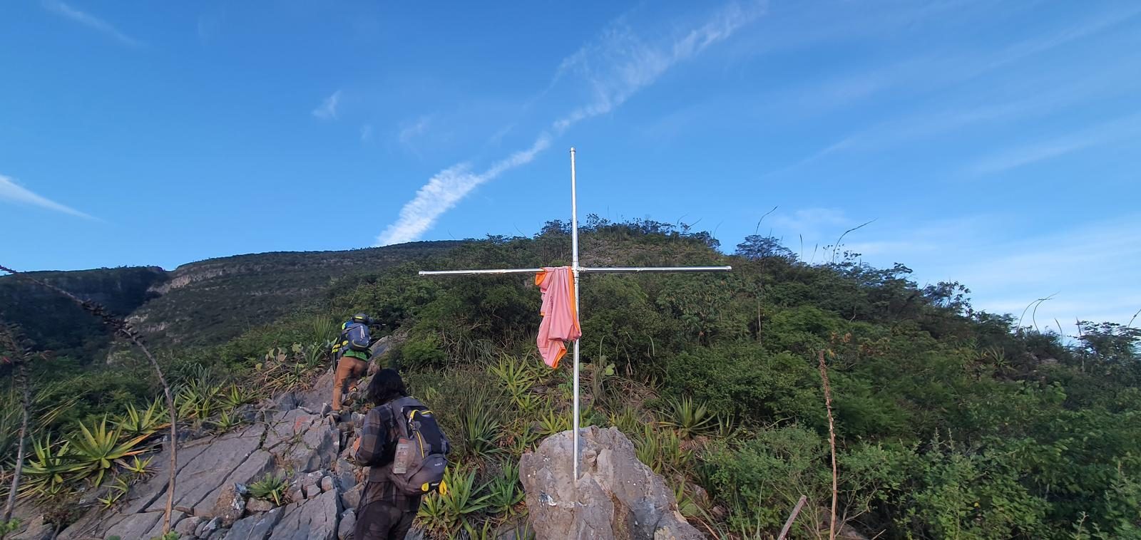
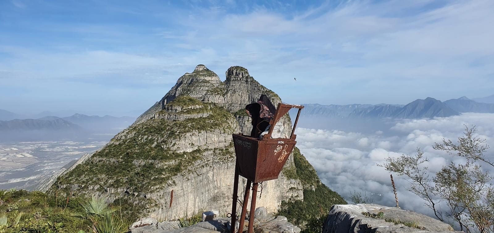
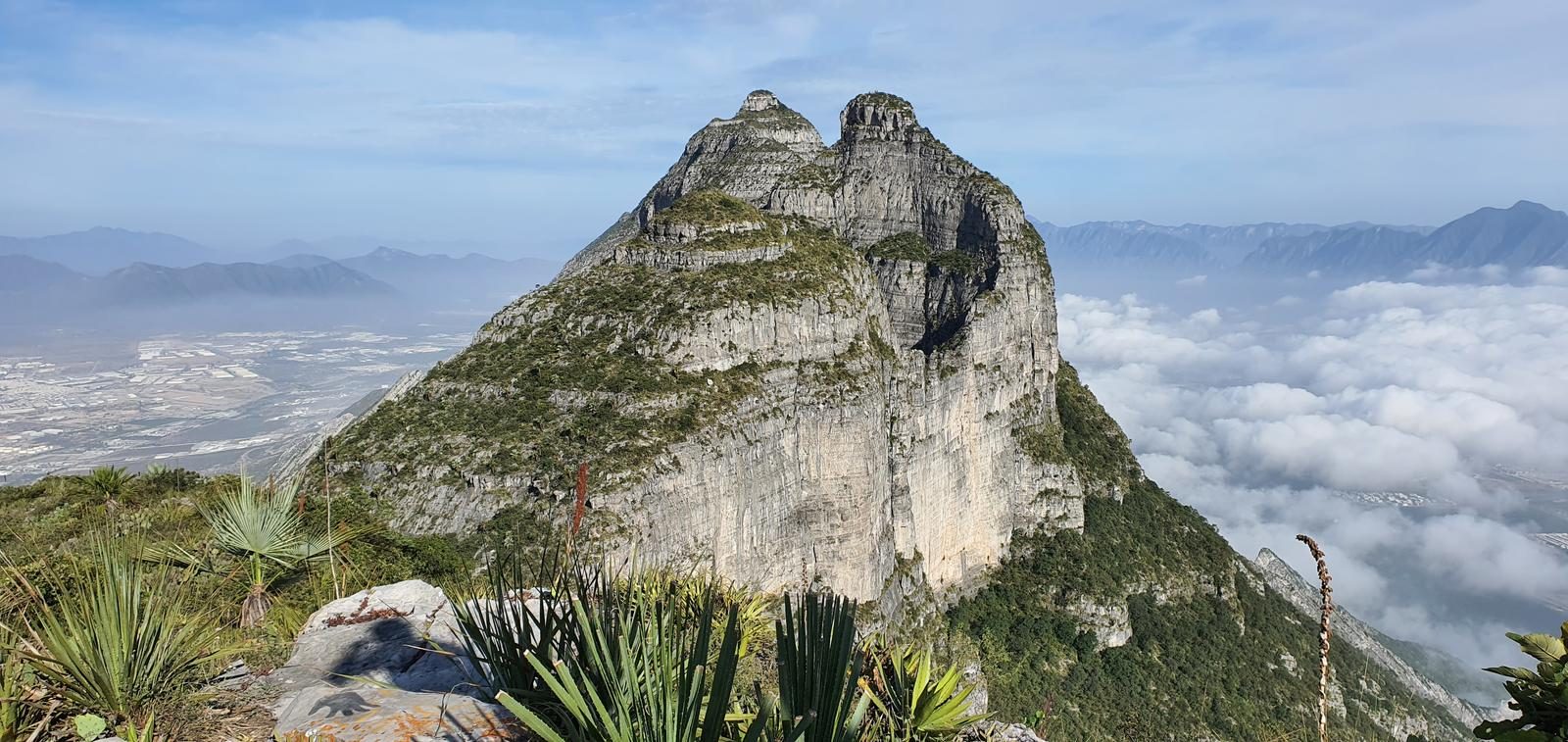
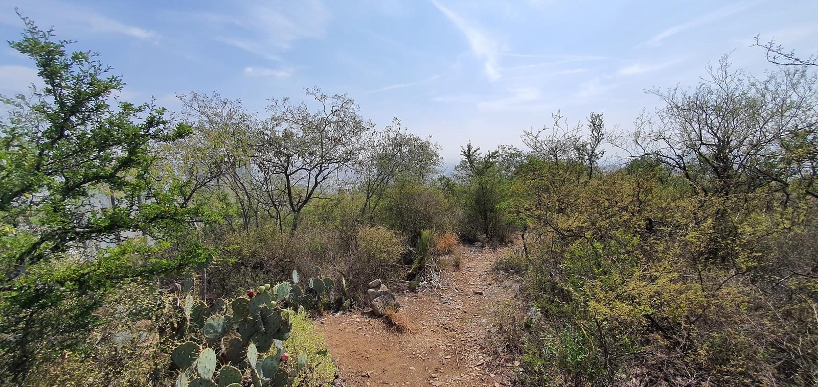
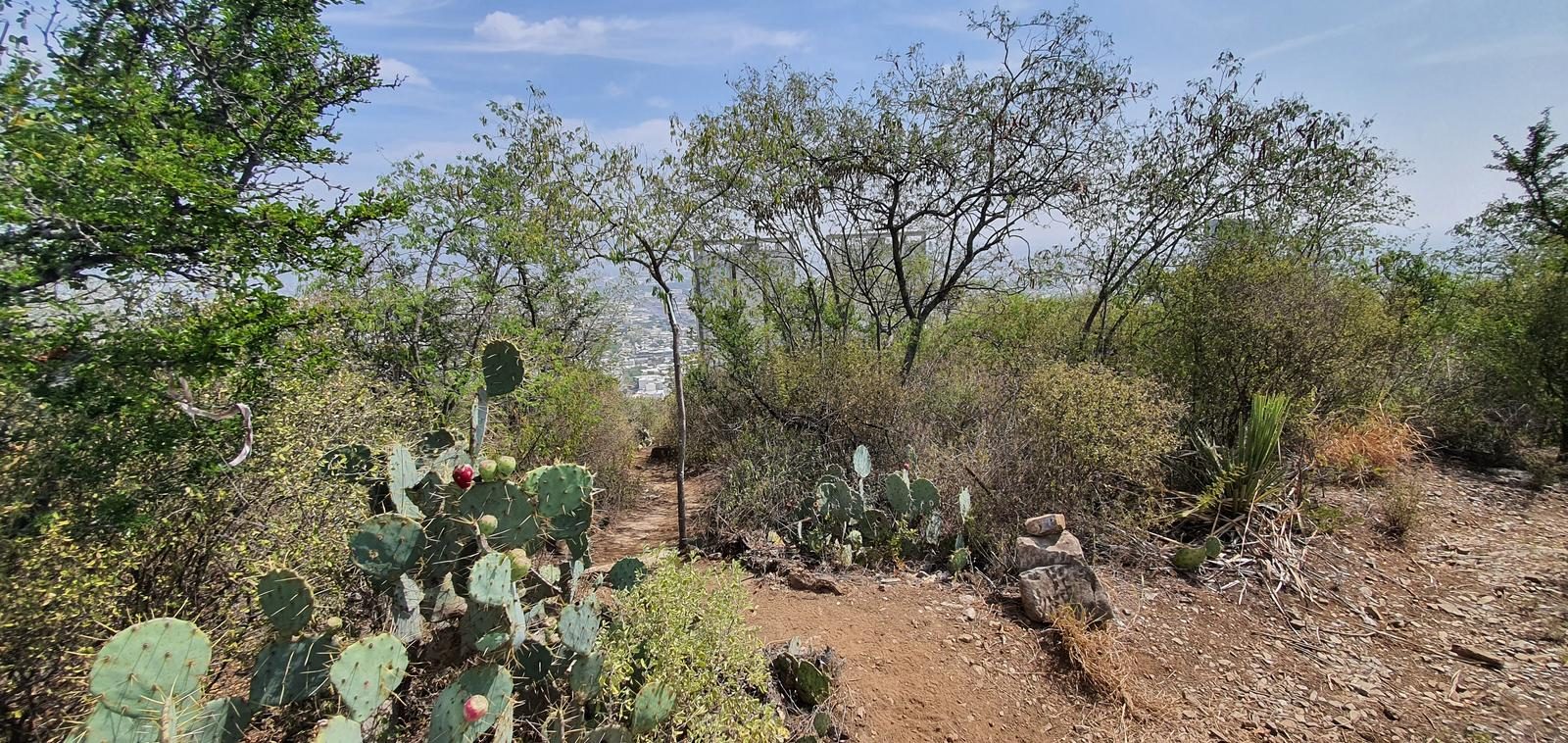
The route can be separated into 3 sections, mainly. - From the beginning to Pico Alfa we will walk along a well-defined path. With lots of vegetation and little signage, but it's hard to miss the trail. - The second section would be from Alpha to Lobos. This would be the best marked section (there are some yellow arrows on the rock), but it doesn't have a clear path; you move intuitively until you reach the U that forms between two peaks and you try to reach the small canyon through which you climb to Pico Lobos. - The third section would be the descent back to the beginning of the route. Although the path is well marked, you have to pay attention to the waypoints of the route to return where we went up: there is a detour in the port that leads to Pico del Agua and there is another detour already reaching the city, which leads to Plazas VIA 1 and 2. If we don't see this exit, we would end up far away from where we left the cars.
Recommended Gear
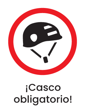
- Helmet - Hands free lamp (mining type) - Hiking sticks - Thermal blanket - External battery (PowerBank) - Sunscreen - Insect repellent - First aid kit
What to Expect on the Trail
i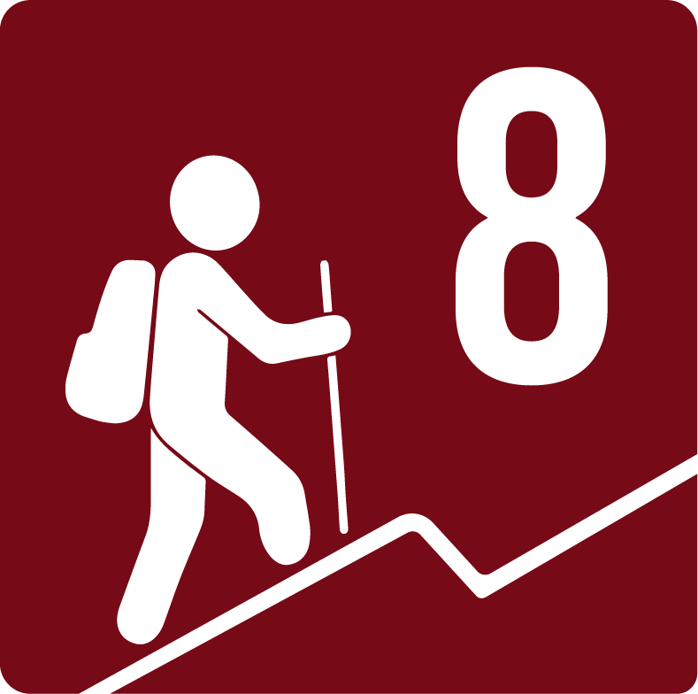
Elevation Gain
1500 m
Total Distance (Out & back)
9.5 km
Total Time
4 h 36 m
Max Elevation
1898 m a.s.l.
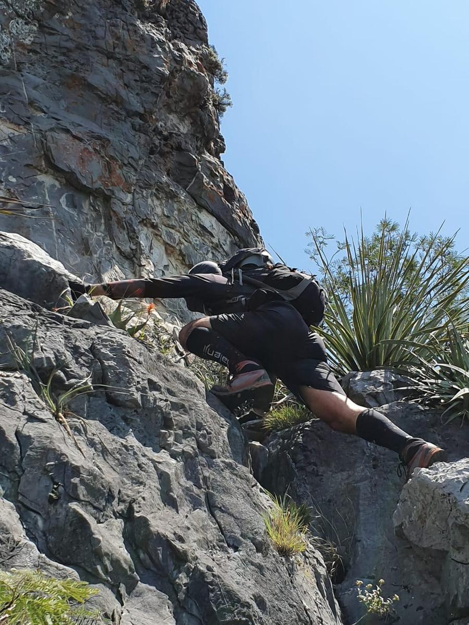
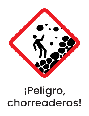
Route level 8, accumulates just over 1,500 m of positive elevation gain, for a total of 9.5 km, considering that the return would be on the same path we went up. On the other hand, if we chose to go down the road to Kilimanjaro (Alfa-Lobos-Uve-Kilimanjaro), we would accumulate approximately 1,650 m of positive elevation gain and the technical difficulty would also increase considerably due to the rock chutes to descend from Pico Lobos.


